- Joined
- Dec 5, 2017
- Messages
- 1,419
Oct 15-21, 2026
I loved every minute of our Maze trip in Canyonlands, including the hard and tiring ones, and I am so thankful to this community for your help. I hope this report can be of some help to someone else someday; if you want specific info, let me know. We had originally planned a Silver Falls / Choprock / etc trip along the Escalante, but due to heavy rain we pivoted last minute and ended up with a fantastic trip in the Maze - so much more than just a consolation prize. As usual, I took way too many photos and am having a lot of trouble narrowing them down to a reasonable amount for a trip report. (I'm using thumbnails rather than full images and hope they convey the beauty at least a little bit.) The scenery was constantly spectacular - up close and far away - and I delighted in the fascinating rocks, lovely reflections, changing lighting, and dramatic skies. We got to be up high and down low, often seeing things multiple times on different days and at different times of day from a variety of angles and perspectives. Wow wow wow!
Day 1
Tex's transported us by jet boat down the Colorado River to Spanish Bottom. It was very cold during the two hour early morning ride, but you all had prepared me well - I wore all my warm layers and was just fine. We were excited to go past the confluence with the Green, as we had done a wonderful canoe trip there two years earlier, and we were planning to do the Confluence Overlook hike as a pack-off out-and-back that afternoon. There were two other backpackers on the boat, also from Michigan, and they were heading to the Maze after having been there a previous time. They told us how much they had loved camping at the Confluence Overlook. This was in the back of our minds later that afternoon... When we got to Spanish Bottom, we said goodbye to them and chatted briefly with a solo hiker/packrafter who had been in the Maze during the previous days' heavy rains and told us there was good water availability. We were glad to hear that; we knew that the Maze typically has limited water and this was our golden opportunity to experience it with adequate water. Those were the last people we would see until evening on our third day.
Beautiful morning on the jet boat
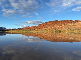
At the confluence - we had no idea then that we'd end up camping up there that night and that our campsite would be visible (sort of) from down below.
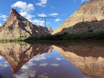
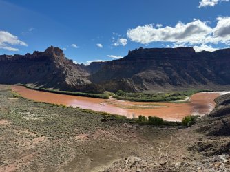
Heading up up up from Spanish Bottom with heavy packs, especially as we were cacheing a few liters of water at the top. Great views of the Colo-RED-o down below.
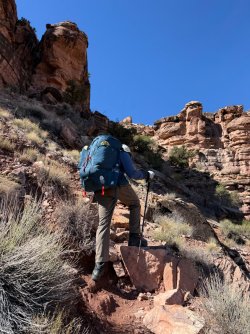
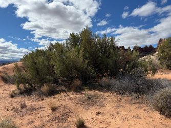
We weren't sure if we'd finish by way of the road from Chimney Rock or Ernie's, so we cached water where those two meet. Can you find our fairly-well hidden bottles?
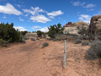
We didn't spend time at the Doll House since we had already hiked there on our trip two years ago. We started on the trail to Confluence Overlook around 12:30pm, very excited to be on our way.
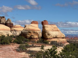
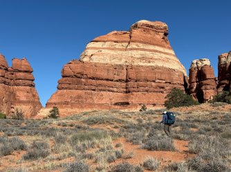
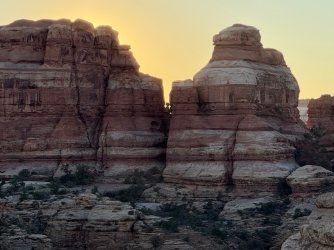
I didn't realize the scenery would be fabulous from the start. So many amazing rock formations and colors. I enjoyed imagining the cracking and falling that must have made the space between these two siblings.
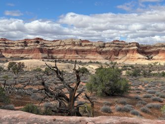
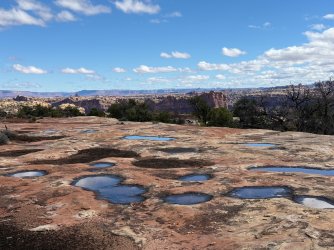
Our first potholes! We didn't need the water, and they were fairly shallow anyway, but they were a harbinger of things to come.
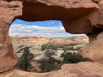
View from Beehive Arch
I had no idea I would take so many reflection shots on this trip.
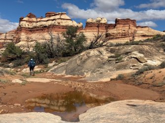
Fun hiking up and down and all around
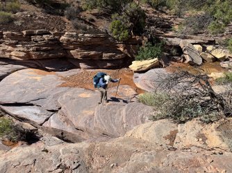
Our first spicy move. Not too hard, but we needed to take our packs off to get up. The first of many...
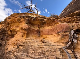
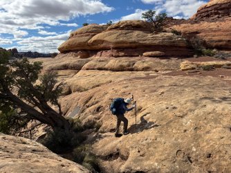
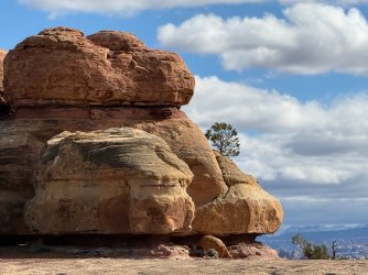
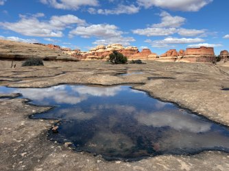
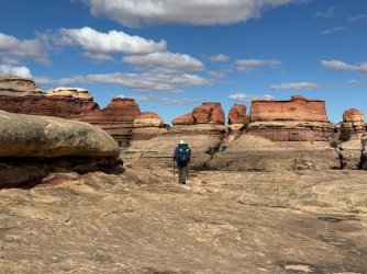
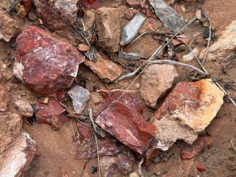
I loved these hard, red, shiny, sharp, pointy rocks. Research afterward says they're jasper or chert. I say they're pretty.
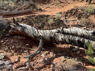
A zebra in Utah?
We were originally planning to stash our packs when we got to the junction with the trail toward Water/Shot and go lightly to the overlook. But we're slow, and when we got there it was around 3:00. With early sunset, we knew we'd be limited in getting there and back and then continuing on to our planned campsite beyond the junction. We remembered how enthusiastic the men from the boat were about camping at the overlook, so we decided to deviate from our plan and bring our packs with us. This was absolutely the right decision for us; we loved the scenery up there and were able to explore to our hearts' content without worrying about the time. As it was, we ended up eating dinner in the dark (a common theme, as that happened every night except one). Thrilling to be up there overlooking the river, canyons, and La Sals!
The men had told us about a way to make a loop of the overlook trail that included going through a notch, rather than doing it as an out-and-back. This route wasn't included on the map, but there were cairns leading the way and we went through the notch as they had described. That was another pack-off moment. A bit challenging but we did it!
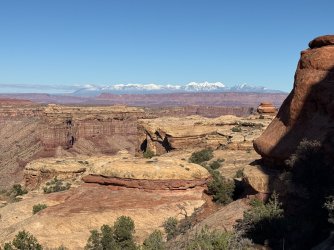
Grand view on the other side of the notch! We had already seen the La Sals a little bit that afternoon but not like this. We would see them over and over again throughout the trip and always delighted in them, especially as we had driven near them coming from Colorado and it had been pouring rain during our drive. We hadn't thought about how all the rain on our windshield would be snow on the mountaintops. Beautiful!
Our first view of the river. I'm pretty sure it was the Green, but if it's the Colorado please correct me!
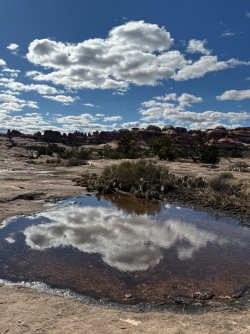
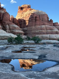
I delighted in every reflection up on that glorious slick rock!
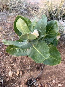
I hadn't realized there would be milkweed up there.
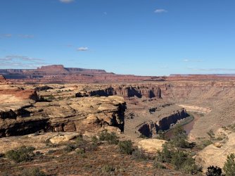
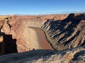
Looking downstream on the Colorado, prior to Spanish Bottom
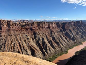
Looking upstream on the Colorado. If you zoom in and look very carefully, you can see two boaters way down below. (But maybe the low resolution isn't good enough to see them?)
We found a wonderful campsite and set up our tent amidst heavy wind. That was the only time we had strong wind; the rest of the time was very calm. The evening light was spectacular!
The backside of the rocks we had come around earlier in the afternoon.
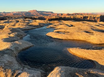
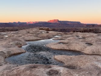
This pothole was huge and a great source of water for us to filter from the next morning. These two pictures were taken about 15 minutes apart, close to sunset. The changing light was very beautiful.
At 6:50, shortly after sunset - although the Green & Colorado confluence is not completely visible, you can see most of it, at the angle on the right.
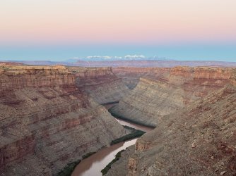
A little bit later, we walked further back to see more of the river and confluence and went around this fabulous rock that we had seen over and over again while up there.
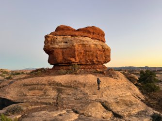
7:00pm - on slick rock beyond the rock, we had our biggest river view - the final bend in the Green before it joins up with the Colorado at the point on the right.
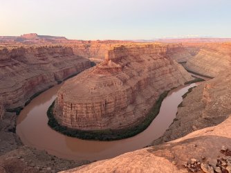
7:03pm - looking away from the river. A crescent moon was descending, and we had beautiful star-gazing that night.
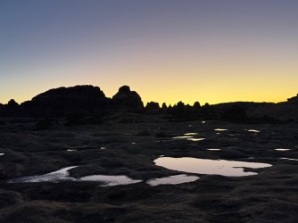
Day 2
7:03am - by coincidence exactly 12 hours after my final picture on Day 1 - the pre-sunrise light starts waking everything up a little bit at a time...
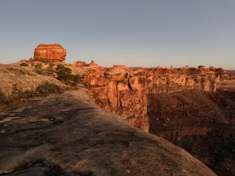
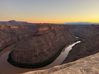
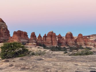
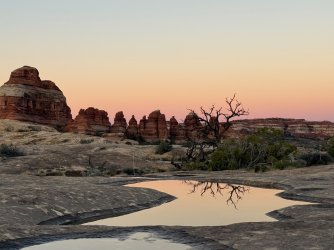
Still pre-sunrise
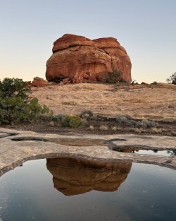
Post-sunrise and from a different vantage point
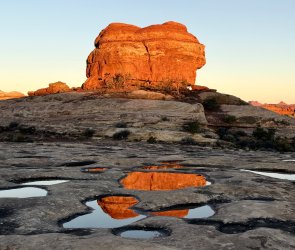
Same rock a little bit later from original vantage point
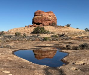
You'd think there are lakes up there!
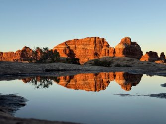
So much fun wandering around and delighting in all the scenes.
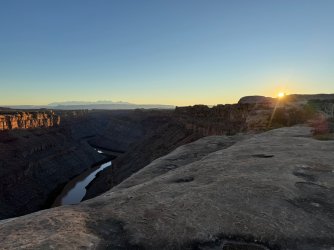
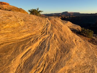
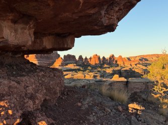
But eventually I needed to take care of camp chores and get ready to leave. Boo hoo. We headed back to the trail (GPS-based hiking apps were very helpful - it was easy to get cliffed out up there) and made our way toward Water & Shot Canyons.
Along the way, we enjoyed this moss (surprised to see it)...
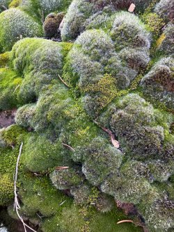
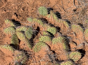
...and the cacti that had dried sand/mud stuck to it from the recent rain.
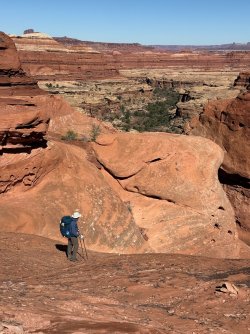
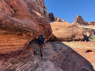
We started learning that descents into canyons were going to be spicy.
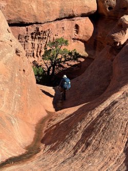
We lowered packs with our rope.
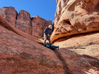
And then walked along the edge.
It was around this time that I remembered seeing NPS info for the Maze that says it's for experienced backpackers only. We never could have done this 5-10 years ago when we were less experienced and therefore less skilled and less confident. Also, we've often done trips with a friend who has a lot more backpacking experience than we do, but he couldn't join us on this trip. I realized that if he were with us, we probably would have relied on him to lead and help us. Instead we relied on each other and did quite well. It was very satisfying to recognize the gains we've made. I give a lot of credit to our friend for helping us learn, and I am also thankful to people here on Backcountry Post who have taught me a lot, even though we've never met any of you. Thank you!
Anyway, we spent the day going toward Water Canyon, getting water, and then going through Shot Canyon. It was all very beautiful and interesting!
According to the map, the arch is Thieves Cache Arch. We saw it over and over again from different angles and directions.
Great pool for water at Water Canyon - very clear, didn't clog our filter.
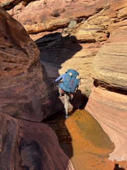
Oops - wet feet
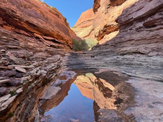
Beautiful reflections
As our friend says, slick rock is my fuel - it gives me great energy. I love walking on it. My husband does, too.
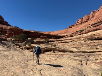
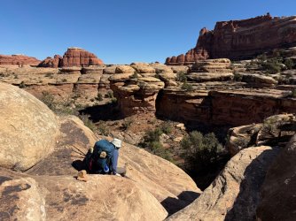
I have many, many photos of my husband climbing up and down. I promise I won't include them all.
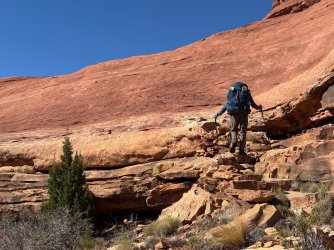
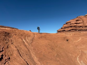
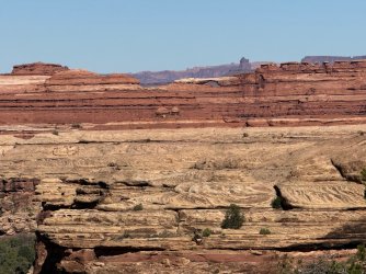
So many wonderful scenes in Shot Canyon
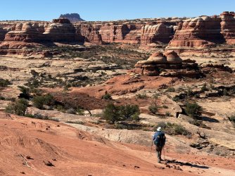
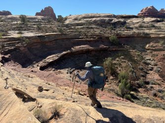
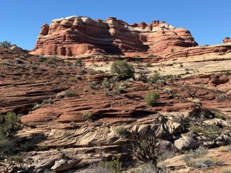
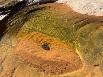
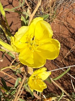
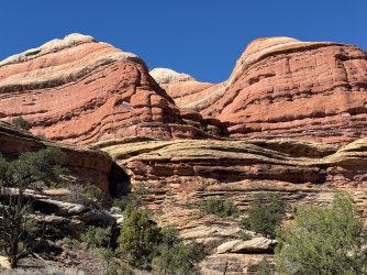
I like baking, and this scene inspired me to imagine a white layer cake with orange frosting between layers. I actually have never made such a cake (chocolate with chocolate frosting would be much better) but I enjoyed picturing it nonetheless.
As we were getting close to the exit for Shot Canyon, we were trying to figure out where the route would take us. From a distance, we had seen an area with gigantic pour-offs and assumed it couldn't be that. Well, we were wrong. But we only had to go up the bottom part of the pour-off, and this stone staircase made it much more manageable. Then we were routed around to the side and then up up up. Those parts aren't visible in this photo.
As we climbed higher and higher out of Shot, we were thrilled to see the views down below and then off in the distance.
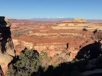
Once at the top, we detoured a bit to look into Water Canyon. That was fun, and we decided to check out some of the potholes in hopes of getting more water. Unfortunately they were shallow and we couldn't get water from them. At this point, we wished we had loaded up with water before exiting Shot. We weren't out - we each had ~2 L in our packs and we had another 1.5 L Nalgene. But that would have to last us that night and the next day until another source was available, but we didn't know when that would be. I was bummed we wouldn't have enough to chug that night and the next morning. So we didn't cook dinner - just ate bars, nuts, etc. From then on, we always made sure we had maximum water. It was a bit of a challenge - do we load up and carry the extra weight, perhaps unnecessarily? Or do we wait and hope we'll find more later, but then risk not finding any? We did the former - it was the right approach for us.
It was starting to get late. We went up to Chimney Rock...
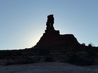
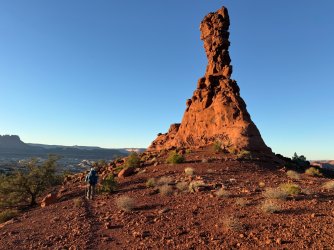
...enjoyed more big views...
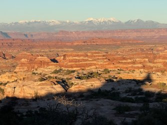
...and then headed out on Pete's Mesa Trail and found a campsite. We had more beautiful views that night - big and up high. We could face east toward the La Sals...
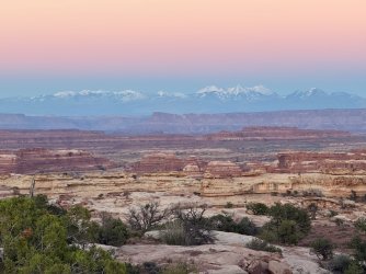
... and west toward Elaterite Butte.
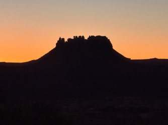
Day 3
And the next morning, a little over 12 hours later, we got to enjoy the scenes with different lighting. Spectacular!
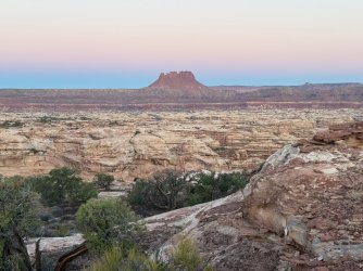
Chocolate Drops with sunrise lighting them up - My phone camera tends to make sunrise and sunset colors very garish, but I played around with the settings and filters to make colors more realistic. I think this is pretty close to the actual colors I saw.
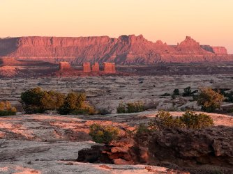
We loved Pete's Mesa Trail. The views into the canyons were terrific, and sometimes we walked on slick rock with interesting patterns and shapes, while other times we walked on dirt surfaces. So many different colors and textures!
View into the canyon that meets up with Pictograph Fork. (Does it have a name?)
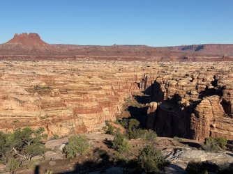
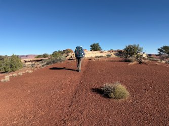
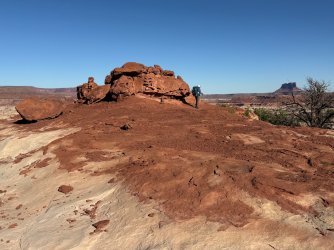
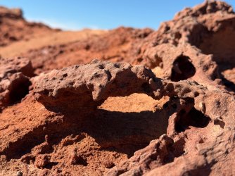
We were delighted that this pothole had enough water in it that we could filter it and quench our thirst. We loaded up and were able to follow through with our plan to try to ascend Pete's Mesa. (Thank you, @TrailScot, for that idea and all the other incredible intel you provided!)
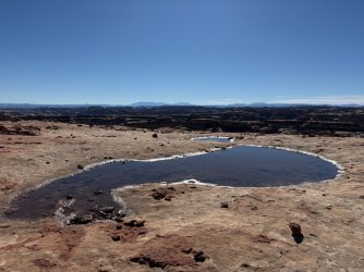
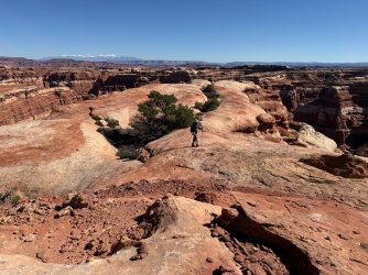
When we got to the spot where you're supposed to make a 90 degree turn to the left/west to head down into the canyon below Pete's Mesa (does that have a name?) we went straight and stashed our packs to do some out-and-back exploring. Our map showed trail for a little while and then we were going to continue beyond that, further around to where we would try to go up Pete's. But first we saw a spectacular slick rock ridge (or is it called a spur or tongue?) heading into the canyon and we both were itching to go out on it, so we did. We loved this! Again, so many interesting colors and textures on the rocks and canyons next to us, below us, and stretching way off into the distance.
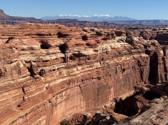
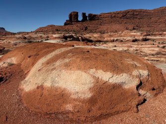
How in the world did this little bit of dark brown rock end up here? What was happening millions of years ago when this was created?
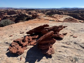
After we explored on the slick rock, we came back and continued on our way. We saw that there was a lot of rockfall that we needed to get past. Even though we were able to get through it, this slowed us down a lot.
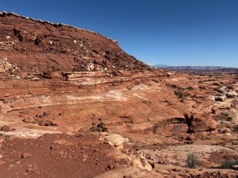
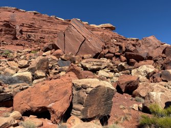
We realized too late that we should have skirted the rocks way down below where the walking would have been easier. By the time we figured this out, it was mid-afternoon. I had tried to get up to the top at one point and came very close, but not close enough. If we had gone the more direct way, we might have had time to scramble up through these rocks to get to the top.
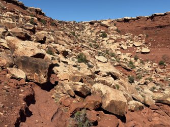
But, alas, we turned back and returned by going down low, which was quick, fun, and easy. This is looking toward where we needed to return; it's obvious now that we should have gone lower on the way out. Oh well.
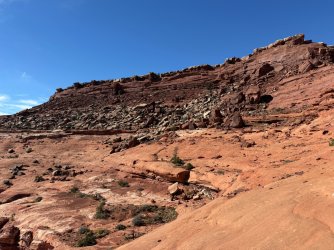
Even though we didn't make it to the top of Pete's as hoped, we had a great time anyway. Here's a mini Delicate Arch scene.
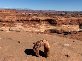
And a fun arch my husband noticed that we thoroughly enjoyed.
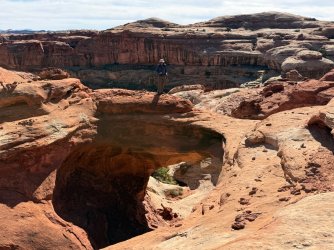
We returned to our packs and topped off our water in this pothole.
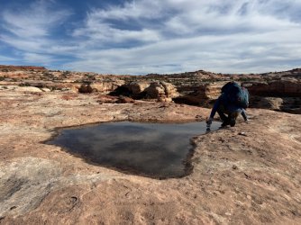
Then it was time to descend into the canyon below Pete's Mesa. We went down down down down - we had no idea there would be so many parts to this descent, including using the rope again for our packs. Once down, there were tons of big boulders to get past. But then eventually we were down where the walking was easy and we headed toward our intended camp a little bit north of Pictograph Fork.
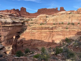
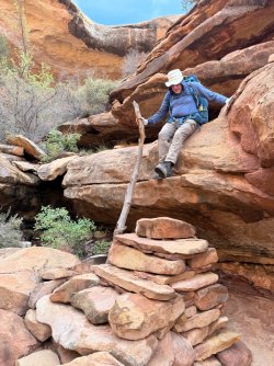
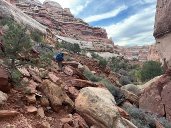
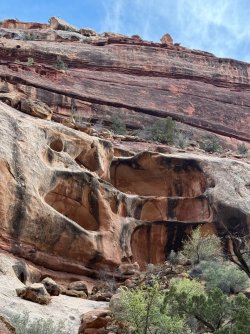
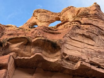
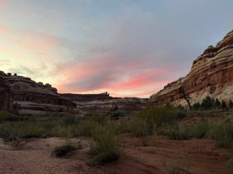
So many great alcoves and formations in these cliffs!
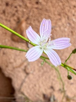
I will always stop for flowers.
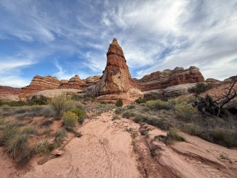
Chocolate Drops visible from down below, near the opening for Pictograph Fork
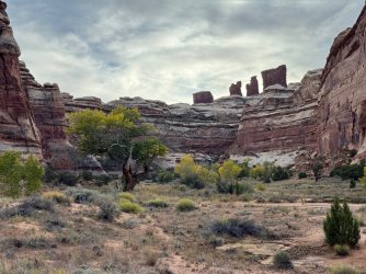
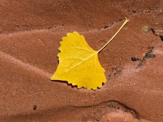
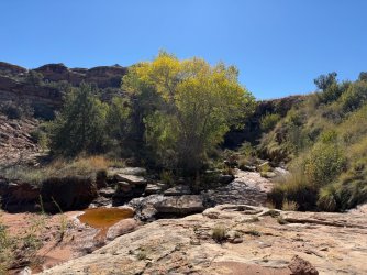
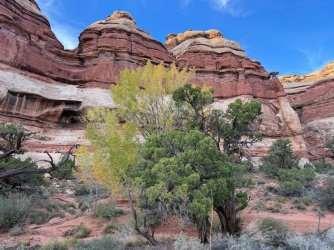
Cottonwoods were not fully yellow but lovely nonetheless
When we were walking toward our intended campsite, we noticed a person there. Oh! Turns out he was a volunteer ranger. He was very helpful with info about water and chatted with us about our plans. He asked to see our permit, which we were able to show him. Then it was time for us to get set up and have dinner - in the dark again, but at least this time it was dinner food that got rehydrated with plenty of boiling water. It was actually really good - Peak Refuel's Chicken Coconut Curry. We'll be happy to get that one again.
I think that's enough (too much???) for now. Part 2 will be coming soon...
I loved every minute of our Maze trip in Canyonlands, including the hard and tiring ones, and I am so thankful to this community for your help. I hope this report can be of some help to someone else someday; if you want specific info, let me know. We had originally planned a Silver Falls / Choprock / etc trip along the Escalante, but due to heavy rain we pivoted last minute and ended up with a fantastic trip in the Maze - so much more than just a consolation prize. As usual, I took way too many photos and am having a lot of trouble narrowing them down to a reasonable amount for a trip report. (I'm using thumbnails rather than full images and hope they convey the beauty at least a little bit.) The scenery was constantly spectacular - up close and far away - and I delighted in the fascinating rocks, lovely reflections, changing lighting, and dramatic skies. We got to be up high and down low, often seeing things multiple times on different days and at different times of day from a variety of angles and perspectives. Wow wow wow!
Day 1
Tex's transported us by jet boat down the Colorado River to Spanish Bottom. It was very cold during the two hour early morning ride, but you all had prepared me well - I wore all my warm layers and was just fine. We were excited to go past the confluence with the Green, as we had done a wonderful canoe trip there two years earlier, and we were planning to do the Confluence Overlook hike as a pack-off out-and-back that afternoon. There were two other backpackers on the boat, also from Michigan, and they were heading to the Maze after having been there a previous time. They told us how much they had loved camping at the Confluence Overlook. This was in the back of our minds later that afternoon... When we got to Spanish Bottom, we said goodbye to them and chatted briefly with a solo hiker/packrafter who had been in the Maze during the previous days' heavy rains and told us there was good water availability. We were glad to hear that; we knew that the Maze typically has limited water and this was our golden opportunity to experience it with adequate water. Those were the last people we would see until evening on our third day.
Beautiful morning on the jet boat
At the confluence - we had no idea then that we'd end up camping up there that night and that our campsite would be visible (sort of) from down below.
Heading up up up from Spanish Bottom with heavy packs, especially as we were cacheing a few liters of water at the top. Great views of the Colo-RED-o down below.
We weren't sure if we'd finish by way of the road from Chimney Rock or Ernie's, so we cached water where those two meet. Can you find our fairly-well hidden bottles?
We didn't spend time at the Doll House since we had already hiked there on our trip two years ago. We started on the trail to Confluence Overlook around 12:30pm, very excited to be on our way.
I didn't realize the scenery would be fabulous from the start. So many amazing rock formations and colors. I enjoyed imagining the cracking and falling that must have made the space between these two siblings.
Our first potholes! We didn't need the water, and they were fairly shallow anyway, but they were a harbinger of things to come.
View from Beehive Arch
I had no idea I would take so many reflection shots on this trip.
Fun hiking up and down and all around
Our first spicy move. Not too hard, but we needed to take our packs off to get up. The first of many...
I loved these hard, red, shiny, sharp, pointy rocks. Research afterward says they're jasper or chert. I say they're pretty.
A zebra in Utah?
We were originally planning to stash our packs when we got to the junction with the trail toward Water/Shot and go lightly to the overlook. But we're slow, and when we got there it was around 3:00. With early sunset, we knew we'd be limited in getting there and back and then continuing on to our planned campsite beyond the junction. We remembered how enthusiastic the men from the boat were about camping at the overlook, so we decided to deviate from our plan and bring our packs with us. This was absolutely the right decision for us; we loved the scenery up there and were able to explore to our hearts' content without worrying about the time. As it was, we ended up eating dinner in the dark (a common theme, as that happened every night except one). Thrilling to be up there overlooking the river, canyons, and La Sals!
The men had told us about a way to make a loop of the overlook trail that included going through a notch, rather than doing it as an out-and-back. This route wasn't included on the map, but there were cairns leading the way and we went through the notch as they had described. That was another pack-off moment. A bit challenging but we did it!
Grand view on the other side of the notch! We had already seen the La Sals a little bit that afternoon but not like this. We would see them over and over again throughout the trip and always delighted in them, especially as we had driven near them coming from Colorado and it had been pouring rain during our drive. We hadn't thought about how all the rain on our windshield would be snow on the mountaintops. Beautiful!
Our first view of the river. I'm pretty sure it was the Green, but if it's the Colorado please correct me!
I delighted in every reflection up on that glorious slick rock!
I hadn't realized there would be milkweed up there.
Looking downstream on the Colorado, prior to Spanish Bottom
Looking upstream on the Colorado. If you zoom in and look very carefully, you can see two boaters way down below. (But maybe the low resolution isn't good enough to see them?)
We found a wonderful campsite and set up our tent amidst heavy wind. That was the only time we had strong wind; the rest of the time was very calm. The evening light was spectacular!
The backside of the rocks we had come around earlier in the afternoon.
This pothole was huge and a great source of water for us to filter from the next morning. These two pictures were taken about 15 minutes apart, close to sunset. The changing light was very beautiful.
At 6:50, shortly after sunset - although the Green & Colorado confluence is not completely visible, you can see most of it, at the angle on the right.
A little bit later, we walked further back to see more of the river and confluence and went around this fabulous rock that we had seen over and over again while up there.
7:00pm - on slick rock beyond the rock, we had our biggest river view - the final bend in the Green before it joins up with the Colorado at the point on the right.
7:03pm - looking away from the river. A crescent moon was descending, and we had beautiful star-gazing that night.
Day 2
7:03am - by coincidence exactly 12 hours after my final picture on Day 1 - the pre-sunrise light starts waking everything up a little bit at a time...
Still pre-sunrise
Post-sunrise and from a different vantage point
Same rock a little bit later from original vantage point
You'd think there are lakes up there!
So much fun wandering around and delighting in all the scenes.
But eventually I needed to take care of camp chores and get ready to leave. Boo hoo. We headed back to the trail (GPS-based hiking apps were very helpful - it was easy to get cliffed out up there) and made our way toward Water & Shot Canyons.
Along the way, we enjoyed this moss (surprised to see it)...
...and the cacti that had dried sand/mud stuck to it from the recent rain.
We started learning that descents into canyons were going to be spicy.
We lowered packs with our rope.
And then walked along the edge.
It was around this time that I remembered seeing NPS info for the Maze that says it's for experienced backpackers only. We never could have done this 5-10 years ago when we were less experienced and therefore less skilled and less confident. Also, we've often done trips with a friend who has a lot more backpacking experience than we do, but he couldn't join us on this trip. I realized that if he were with us, we probably would have relied on him to lead and help us. Instead we relied on each other and did quite well. It was very satisfying to recognize the gains we've made. I give a lot of credit to our friend for helping us learn, and I am also thankful to people here on Backcountry Post who have taught me a lot, even though we've never met any of you. Thank you!
Anyway, we spent the day going toward Water Canyon, getting water, and then going through Shot Canyon. It was all very beautiful and interesting!
According to the map, the arch is Thieves Cache Arch. We saw it over and over again from different angles and directions.
Great pool for water at Water Canyon - very clear, didn't clog our filter.
Oops - wet feet
Beautiful reflections
As our friend says, slick rock is my fuel - it gives me great energy. I love walking on it. My husband does, too.
I have many, many photos of my husband climbing up and down. I promise I won't include them all.
So many wonderful scenes in Shot Canyon
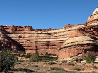
I like baking, and this scene inspired me to imagine a white layer cake with orange frosting between layers. I actually have never made such a cake (chocolate with chocolate frosting would be much better) but I enjoyed picturing it nonetheless.
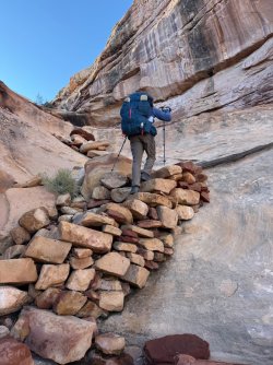
As we were getting close to the exit for Shot Canyon, we were trying to figure out where the route would take us. From a distance, we had seen an area with gigantic pour-offs and assumed it couldn't be that. Well, we were wrong. But we only had to go up the bottom part of the pour-off, and this stone staircase made it much more manageable. Then we were routed around to the side and then up up up. Those parts aren't visible in this photo.
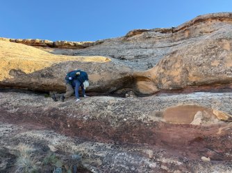
As we climbed higher and higher out of Shot, we were thrilled to see the views down below and then off in the distance.
Once at the top, we detoured a bit to look into Water Canyon. That was fun, and we decided to check out some of the potholes in hopes of getting more water. Unfortunately they were shallow and we couldn't get water from them. At this point, we wished we had loaded up with water before exiting Shot. We weren't out - we each had ~2 L in our packs and we had another 1.5 L Nalgene. But that would have to last us that night and the next day until another source was available, but we didn't know when that would be. I was bummed we wouldn't have enough to chug that night and the next morning. So we didn't cook dinner - just ate bars, nuts, etc. From then on, we always made sure we had maximum water. It was a bit of a challenge - do we load up and carry the extra weight, perhaps unnecessarily? Or do we wait and hope we'll find more later, but then risk not finding any? We did the former - it was the right approach for us.
It was starting to get late. We went up to Chimney Rock...
...enjoyed more big views...
...and then headed out on Pete's Mesa Trail and found a campsite. We had more beautiful views that night - big and up high. We could face east toward the La Sals...
... and west toward Elaterite Butte.
Day 3
And the next morning, a little over 12 hours later, we got to enjoy the scenes with different lighting. Spectacular!
Chocolate Drops with sunrise lighting them up - My phone camera tends to make sunrise and sunset colors very garish, but I played around with the settings and filters to make colors more realistic. I think this is pretty close to the actual colors I saw.
We loved Pete's Mesa Trail. The views into the canyons were terrific, and sometimes we walked on slick rock with interesting patterns and shapes, while other times we walked on dirt surfaces. So many different colors and textures!
View into the canyon that meets up with Pictograph Fork. (Does it have a name?)
We were delighted that this pothole had enough water in it that we could filter it and quench our thirst. We loaded up and were able to follow through with our plan to try to ascend Pete's Mesa. (Thank you, @TrailScot, for that idea and all the other incredible intel you provided!)
When we got to the spot where you're supposed to make a 90 degree turn to the left/west to head down into the canyon below Pete's Mesa (does that have a name?) we went straight and stashed our packs to do some out-and-back exploring. Our map showed trail for a little while and then we were going to continue beyond that, further around to where we would try to go up Pete's. But first we saw a spectacular slick rock ridge (or is it called a spur or tongue?) heading into the canyon and we both were itching to go out on it, so we did. We loved this! Again, so many interesting colors and textures on the rocks and canyons next to us, below us, and stretching way off into the distance.
How in the world did this little bit of dark brown rock end up here? What was happening millions of years ago when this was created?
After we explored on the slick rock, we came back and continued on our way. We saw that there was a lot of rockfall that we needed to get past. Even though we were able to get through it, this slowed us down a lot.
We realized too late that we should have skirted the rocks way down below where the walking would have been easier. By the time we figured this out, it was mid-afternoon. I had tried to get up to the top at one point and came very close, but not close enough. If we had gone the more direct way, we might have had time to scramble up through these rocks to get to the top.
But, alas, we turned back and returned by going down low, which was quick, fun, and easy. This is looking toward where we needed to return; it's obvious now that we should have gone lower on the way out. Oh well.
Even though we didn't make it to the top of Pete's as hoped, we had a great time anyway. Here's a mini Delicate Arch scene.
And a fun arch my husband noticed that we thoroughly enjoyed.
We returned to our packs and topped off our water in this pothole.
Then it was time to descend into the canyon below Pete's Mesa. We went down down down down - we had no idea there would be so many parts to this descent, including using the rope again for our packs. Once down, there were tons of big boulders to get past. But then eventually we were down where the walking was easy and we headed toward our intended camp a little bit north of Pictograph Fork.
So many great alcoves and formations in these cliffs!
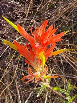
I will always stop for flowers.
Chocolate Drops visible from down below, near the opening for Pictograph Fork
Cottonwoods were not fully yellow but lovely nonetheless
When we were walking toward our intended campsite, we noticed a person there. Oh! Turns out he was a volunteer ranger. He was very helpful with info about water and chatted with us about our plans. He asked to see our permit, which we were able to show him. Then it was time for us to get set up and have dinner - in the dark again, but at least this time it was dinner food that got rehydrated with plenty of boiling water. It was actually really good - Peak Refuel's Chicken Coconut Curry. We'll be happy to get that one again.
I think that's enough (too much???) for now. Part 2 will be coming soon...