danger02ward
Love the Mountains!
- Joined
- Mar 1, 2016
- Messages
- 402
In the summer of 2014 and 2015 I had the pleasure of joining some nice people on their annual summer uintas trip to pinto lake in the granddaddy basin. As I hiked around pinto lake, governor dern lake, and the four lakes basin I couldn't help but stare at beautiful Mount Aggasiz. The longer I stared the more I thought I need to climb that peak. So I am happy to report that last Friday on September 16th I was able to achieve my goal. Aggasiz is 12,433 feet. I talked my brother into joining me. I was a little disheartened as we got closer to the trailhead. There was some white stuff on the peaks that I wasn't expecting. I was afraid this might keep me from making it up to the peak. Nevertheless we pressed on to see how far we could get. We set off on the highline trail and headed into the naturalist basin. I was excited to finally make it into the naturalist basin for the first time. It was beautiful and this time of year we seemed to have the basin to ourselves. We only saw people at the trailhead and the beginning of the highline trail. View of Aggasiz from the highline trail.
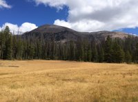
its about 5 miles to the turn off into the naturalist basin. Creek below the two morat lakes.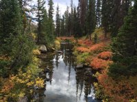
Getting closer. Aggasiz in the background. The morat lakes are above that ridge.
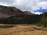
One of the morat lakes from above.
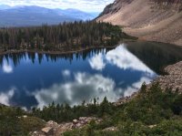
Climbing up the next ridge at about 6 miles in you get to beautiful blue lake.
Aggasiz above blue lake.
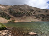
The trail ends at blue lake. To get to Aggasiz you climb straight north up to the saddle seen in the middle of the picture below.
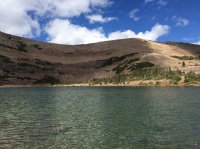
Blue lake from just below the saddle.
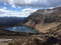
Aggasiz from just below the saddle.
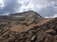
Aggasiz from the saddle.
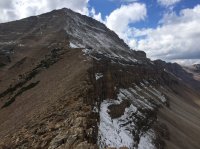
Time to climb the ridgeline.
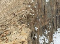
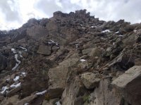
The trip to the top was quite a hike through large boulders.
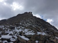
The snow did not help the matter but was not as slippery as I had feared.
Nothing like climbing up a good snowy Boulder field.
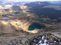
The views from the top make it all worth it. Beautiful blue lake and the naturalist basin from the top of Aggasiz.
Great view of middle basin with Ryder and mcpheters lakes and Hayden peak.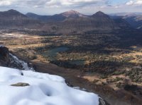
Spread eagle peak. Naturalist basin on the right and middle basin on the left.
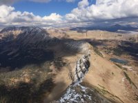
View of Grandaddy basin with governor dern and pinto lakes.
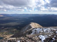
View of the peak.
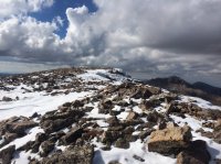
I clocked my gps on the way down from the peak at 7.65 miles. Making it a nice day hike of 15.3 miles. We got back to the trailhead in the dark. It was a beautiful day.

its about 5 miles to the turn off into the naturalist basin. Creek below the two morat lakes.

Getting closer. Aggasiz in the background. The morat lakes are above that ridge.

One of the morat lakes from above.

Climbing up the next ridge at about 6 miles in you get to beautiful blue lake.
Aggasiz above blue lake.

The trail ends at blue lake. To get to Aggasiz you climb straight north up to the saddle seen in the middle of the picture below.

Blue lake from just below the saddle.

Aggasiz from just below the saddle.

Aggasiz from the saddle.

Time to climb the ridgeline.

The trip to the top was quite a hike through large boulders.

The snow did not help the matter but was not as slippery as I had feared.
Nothing like climbing up a good snowy Boulder field.

The views from the top make it all worth it. Beautiful blue lake and the naturalist basin from the top of Aggasiz.

Great view of middle basin with Ryder and mcpheters lakes and Hayden peak.

Spread eagle peak. Naturalist basin on the right and middle basin on the left.

View of Grandaddy basin with governor dern and pinto lakes.

View of the peak.

I clocked my gps on the way down from the peak at 7.65 miles. Making it a nice day hike of 15.3 miles. We got back to the trailhead in the dark. It was a beautiful day.

