John Morrow
Member
- Joined
- May 22, 2015
- Messages
- 1,119
If anyone has ever done research on potential backpacking in Death Valley two things probably stood out:
1. Water????
2. Something called the Cottonwood/Marble Loop makes a nice 3 day loop of a few canyons with 2 springs for H2O.
However, high clearance is needed for the 28 mile loop w/o needing to hike 16 miles of road out and back.
3. Death Valley, despite nearly 3 million acres, is really known for its dayhikes.
I am never one to enjoy a road hike so I wanted to devise a greater loop that left 2WD pavement and saw the highlights of the known route.
I'll call this the: Unknown Canyon---E. Fk Cottonwood---Cottonwood---Marble---Deadhorse---Upper Cottonwood---Lemoigne Canyons Loop
It goes like this:
TH at Emigrant Campground/Ranger Station on CA Hwy 190. This made it about a 45 miler with about 5 miles of side trips.
Unknowns:
1. Crossing the incised washes of three miles of bajada from the start.
2. An undocumented canyon climb to the crest of the Southern Ridge of the Cottonwood Mountains (We figured we could scramble ridgelines if the canyon deadended. Our canyon is noted for two white dot blaze rock forms visible from the campground and hwy.).
3. Would Deadhorse spring be flowing or would 7 liters (most we each carried) need to extend into a third day?
Well, it goes great and I'd rate it a Classic!!!!
Day 1:
From Emigrant Campground across the bajada for three miles.
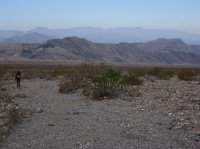
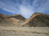
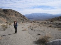
Into our canyon with two dryfalls to negotiate, first being 12 feet of fine 5.0 climbing. Oh, I forgot to mention...both are bypassable up a spur bouldery gully.
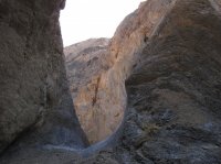
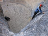
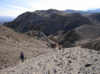
Then we climbed onto the spur of the Cottonwoods for some brown desert walking until we could descend the E. Fork Cottonwood to Main Cottonwood and its junction with Marble Canyon. We camped at the forks.
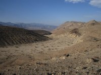
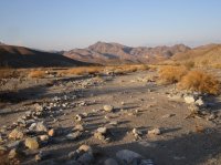

Day 2: Standard Route up Marble Canyon to Deadhorse Canyon to the divide with Upper Cottonwood Canyon. We also meandered, packless, through the fourth narrows of Marble and turned around to finish up Deadhorse.
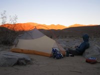
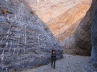
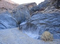
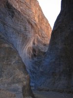

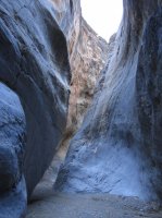
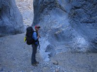
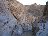
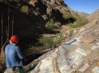
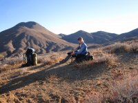
We camped with fine views at the divide. It was a good jumping point for Canyon BM 5890' in the morning. It is something called a DPS Peak.
Day 3: Forgot the camera up Canyon BM, oops. Then down Cottonwood Canyon to a beautiful oasis of old growth Cottonwood forest and water!
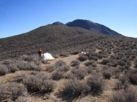
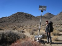
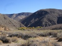
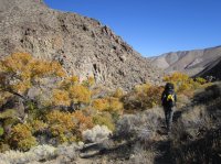
Here we filled up and left the main route heading up a southern valley of upper Cottonwood to the divide with Lemoigne Canyon.
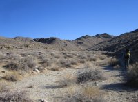

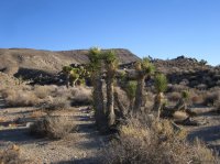
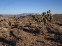
To our surprise we found a wonderful Joshua Tree Flat at the head of Lemoigne for Camp 3. That put us in position to walk up Panamint Butte 6585', another DPS Peak, in the morning.
Day 4:
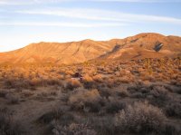
Panamint Butte and a descent of Lemoigne Canyon withno difficulties. We even got a 4WD ride at the bottom to avoid the final 3 miles of bajada walking to our cars!
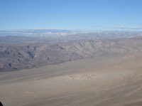
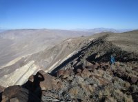
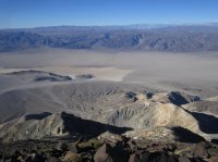
The views from Panamint Butte were awesome: Whitney, Panamint Dunes, Lake Hill in the Panamint Valley.
Then it was time to return to camp, pack up, and descend Lemoigne Canyon back to Emigrant Campground.
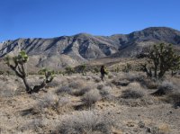
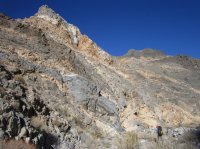
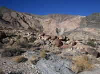

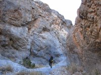
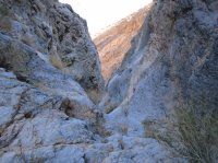
I just couldn't have been more delighted how a trip into unknown terrain could work out! Go get it....
More pictures (can't get pics to orient vertically), annotated chronologically, and topo maps here:
http://www.nwhikers.net/forums/viewtopic.php?t=8022827
1. Water????
2. Something called the Cottonwood/Marble Loop makes a nice 3 day loop of a few canyons with 2 springs for H2O.
However, high clearance is needed for the 28 mile loop w/o needing to hike 16 miles of road out and back.
3. Death Valley, despite nearly 3 million acres, is really known for its dayhikes.
I am never one to enjoy a road hike so I wanted to devise a greater loop that left 2WD pavement and saw the highlights of the known route.
I'll call this the: Unknown Canyon---E. Fk Cottonwood---Cottonwood---Marble---Deadhorse---Upper Cottonwood---Lemoigne Canyons Loop
It goes like this:
TH at Emigrant Campground/Ranger Station on CA Hwy 190. This made it about a 45 miler with about 5 miles of side trips.
Unknowns:
1. Crossing the incised washes of three miles of bajada from the start.
2. An undocumented canyon climb to the crest of the Southern Ridge of the Cottonwood Mountains (We figured we could scramble ridgelines if the canyon deadended. Our canyon is noted for two white dot blaze rock forms visible from the campground and hwy.).
3. Would Deadhorse spring be flowing or would 7 liters (most we each carried) need to extend into a third day?
Well, it goes great and I'd rate it a Classic!!!!
Day 1:
From Emigrant Campground across the bajada for three miles.


Into our canyon with two dryfalls to negotiate, first being 12 feet of fine 5.0 climbing. Oh, I forgot to mention...both are bypassable up a spur bouldery gully.


Then we climbed onto the spur of the Cottonwoods for some brown desert walking until we could descend the E. Fork Cottonwood to Main Cottonwood and its junction with Marble Canyon. We camped at the forks.


Day 2: Standard Route up Marble Canyon to Deadhorse Canyon to the divide with Upper Cottonwood Canyon. We also meandered, packless, through the fourth narrows of Marble and turned around to finish up Deadhorse.


We camped with fine views at the divide. It was a good jumping point for Canyon BM 5890' in the morning. It is something called a DPS Peak.
Day 3: Forgot the camera up Canyon BM, oops. Then down Cottonwood Canyon to a beautiful oasis of old growth Cottonwood forest and water!


Here we filled up and left the main route heading up a southern valley of upper Cottonwood to the divide with Lemoigne Canyon.


To our surprise we found a wonderful Joshua Tree Flat at the head of Lemoigne for Camp 3. That put us in position to walk up Panamint Butte 6585', another DPS Peak, in the morning.


Day 4:
Panamint Butte and a descent of Lemoigne Canyon withno difficulties. We even got a 4WD ride at the bottom to avoid the final 3 miles of bajada walking to our cars!
The views from Panamint Butte were awesome: Whitney, Panamint Dunes, Lake Hill in the Panamint Valley.


Then it was time to return to camp, pack up, and descend Lemoigne Canyon back to Emigrant Campground.


I just couldn't have been more delighted how a trip into unknown terrain could work out! Go get it....
More pictures (can't get pics to orient vertically), annotated chronologically, and topo maps here:
http://www.nwhikers.net/forums/viewtopic.php?t=8022827
Last edited:
