- Joined
- May 31, 2015
- Messages
- 3,306
August 28-29, 2021
This is an area I'd been really wanting to get to for at least five years. I had planned a 4-night route that would encompass it back in 2018, but it didn't work out. My friend and I drove all the way up there, got 1/4 mile in, and had to turn around because the altitude plus not great physical fitness were already doing him in. Not great, but I was glad he stopped then rather than several miles in I guess.
Anyway, now that I live closer, it became more realistic. My friend in Phoenix reached out in mid-summer about doing a weekend trip up in my neck of the woods, and I knew exactly where to go. Due to time constraints with flights, this trip would only be an overnighter, but it was still wonderful, and now I have more information for planning future routes.
We got to the trailhead late in the morning
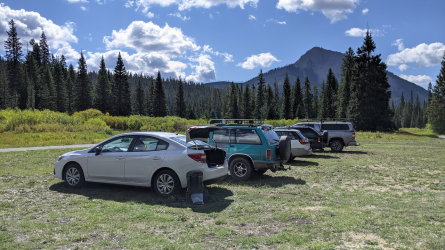
The mighty stock Impreza at the trailhead.
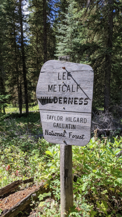
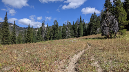
The first few miles are through this type of scenery. Thick forest with periodic stretches in little meadows.
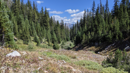
Getting up higher and seeing a bit more back below us.
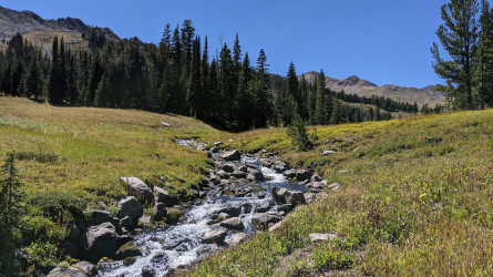
Nearing the head of the creek. Sparser foliage up here.
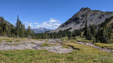
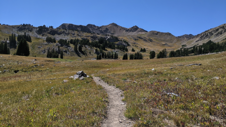
Just about to the head of the drainage.
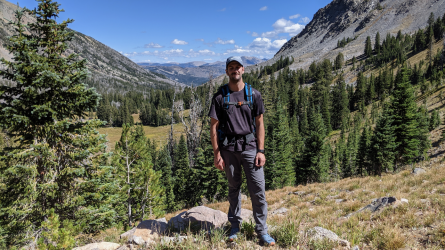
Proof Gavin was actually there.
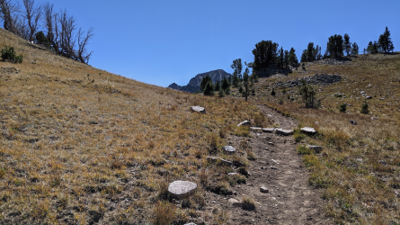
We were headed up over a saddle into the basin where we would camp for the night. This is near the top of that saddle, with the summit we would attempt the next day.
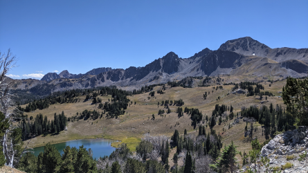
Basin in view.
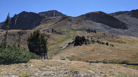
View from camp. The first part of the route for the next day was to ascend the grassy slope at center-left.
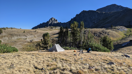
Camp. It was a little windy up there in the open, but we went for it since there were no storms in the forecast. Lucky for us, the wind died down completely after the sun went down.

Pano of the tarn we camped above. We went for an evening walk around it to burn some time so we wouldn't be in the tent for more than 8-9 hours.
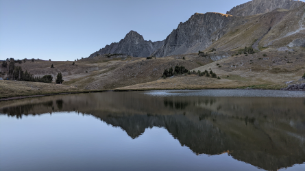
Reflections and stuff.
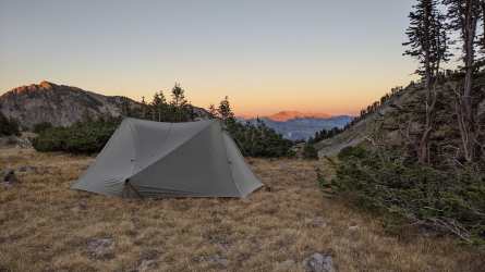
Cloudless sunset.
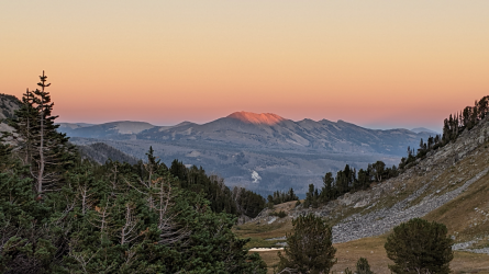
Last light on the ridge in the distance.
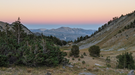
And some lovely earth shadow/belt of Venus after the sun had gone down.
We got up with the sunrise to go for our summit. It fortunately wasn't too cold out.
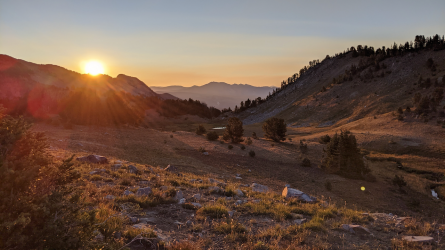
Sunrise
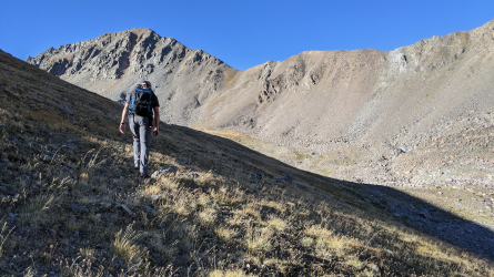
Heading up. The low saddle in the background is where we're headed.
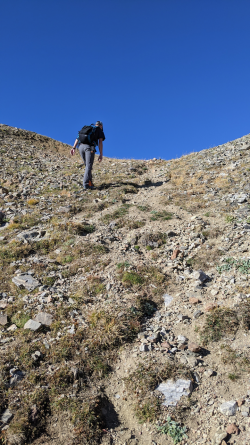
And here Gavin is a few steps away from the saddle.
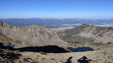
View over the back side of the saddle.
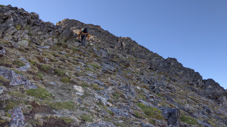
Becoming more fun.
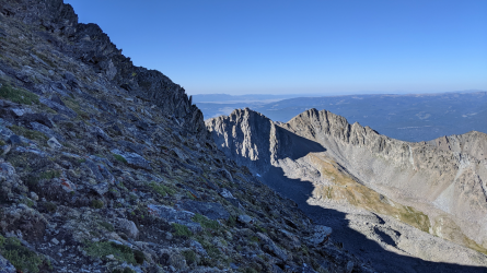
Nice verticality for a softy like me.
We made it to the top and took a break. I hadn't been to the summit of anything significant in quite a while, so it felt good to have that physical challenge. Views were great up there. I spent about two decades coming to this area as a kid and a young adult to visit my grandparents at their cabin, and it was awesome to see so much of it from above. Could almost see their (former) cabin through the binoculars as well.

Made it to the top. There was a lot of open, relatively flat space up there. You wouldn't know it looking from below.
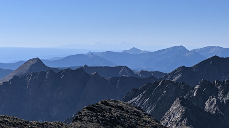
Tetons in the distance.
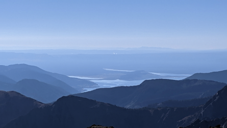
Steam from thermal features in Yellowstone.
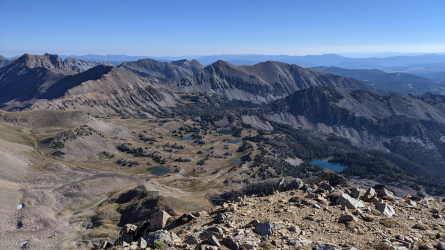
Basin we came from. We camped at the leftmost tarn.
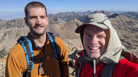
Ya boys.
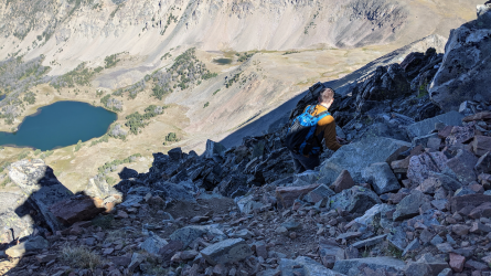
Picking our way back down.
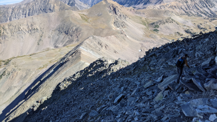
I couldn't choose between this one and the one before it, so you get both.
We got back to camp, gathered our things, and headed out. We were already pretty tired and had a fair bit of distance to cover. Seemed like it took forever too. Haha. That's alright when you're in a beautiful place like this.
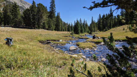
Stopping to filter water for the walk out. If we had had more time, it would have made the perfect spot for a nap.
We drove through West Yellowstone on the way back, and I was devastated that the Gusher was temporarily closed, so we went to Bullwinkle's instead. Not my favorite.
Anyway, happy to finally have spent some time up high in this area. Can't wait to head back.
This is an area I'd been really wanting to get to for at least five years. I had planned a 4-night route that would encompass it back in 2018, but it didn't work out. My friend and I drove all the way up there, got 1/4 mile in, and had to turn around because the altitude plus not great physical fitness were already doing him in. Not great, but I was glad he stopped then rather than several miles in I guess.
Anyway, now that I live closer, it became more realistic. My friend in Phoenix reached out in mid-summer about doing a weekend trip up in my neck of the woods, and I knew exactly where to go. Due to time constraints with flights, this trip would only be an overnighter, but it was still wonderful, and now I have more information for planning future routes.
We got to the trailhead late in the morning

The mighty stock Impreza at the trailhead.


The first few miles are through this type of scenery. Thick forest with periodic stretches in little meadows.

Getting up higher and seeing a bit more back below us.

Nearing the head of the creek. Sparser foliage up here.


Just about to the head of the drainage.

Proof Gavin was actually there.

We were headed up over a saddle into the basin where we would camp for the night. This is near the top of that saddle, with the summit we would attempt the next day.

Basin in view.

View from camp. The first part of the route for the next day was to ascend the grassy slope at center-left.

Camp. It was a little windy up there in the open, but we went for it since there were no storms in the forecast. Lucky for us, the wind died down completely after the sun went down.

Pano of the tarn we camped above. We went for an evening walk around it to burn some time so we wouldn't be in the tent for more than 8-9 hours.

Reflections and stuff.

Cloudless sunset.

Last light on the ridge in the distance.

And some lovely earth shadow/belt of Venus after the sun had gone down.
We got up with the sunrise to go for our summit. It fortunately wasn't too cold out.

Sunrise

Heading up. The low saddle in the background is where we're headed.

And here Gavin is a few steps away from the saddle.

View over the back side of the saddle.

Becoming more fun.

Nice verticality for a softy like me.
We made it to the top and took a break. I hadn't been to the summit of anything significant in quite a while, so it felt good to have that physical challenge. Views were great up there. I spent about two decades coming to this area as a kid and a young adult to visit my grandparents at their cabin, and it was awesome to see so much of it from above. Could almost see their (former) cabin through the binoculars as well.

Made it to the top. There was a lot of open, relatively flat space up there. You wouldn't know it looking from below.

Tetons in the distance.

Steam from thermal features in Yellowstone.

Basin we came from. We camped at the leftmost tarn.

Ya boys.

Picking our way back down.

I couldn't choose between this one and the one before it, so you get both.
We got back to camp, gathered our things, and headed out. We were already pretty tired and had a fair bit of distance to cover. Seemed like it took forever too. Haha. That's alright when you're in a beautiful place like this.

Stopping to filter water for the walk out. If we had had more time, it would have made the perfect spot for a nap.
We drove through West Yellowstone on the way back, and I was devastated that the Gusher was temporarily closed, so we went to Bullwinkle's instead. Not my favorite.
Anyway, happy to finally have spent some time up high in this area. Can't wait to head back.
