kwc
Member
- Joined
- Mar 31, 2016
- Messages
- 1,019
I planned on an extended 6 day backpacking trip along the Long Trail in Vermont, starting at the southern end of the trail and hiking as far as Bromley Mtn. I thought I was prepared for this hike but I truly wasn’t. Need to make some adjustments to my kit before heading out again. On the plus side I did get to meet some pretty amazing people on the trail and in camp. And some AT thru hikers. The last 3/4 mile was a 1000 foot drop on large rocks and that’s what did me in. Took me an hour to make the descent. It was an 1100 foot climb up to the next shelter and I was beat so I thumbed a ride into Bennington, called my wife, and drove the 2 hours to come pick me up. (The descent takes the trail to a road crossing of Rt. 9, hence the hitchike)
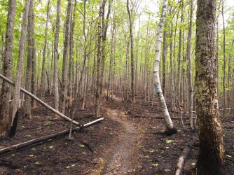
Burn section on the approach trail (Pine Cobble Trail). This burn closed the AT for a short while a week or so ago.
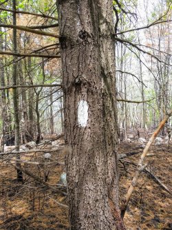
White blaze of the AT
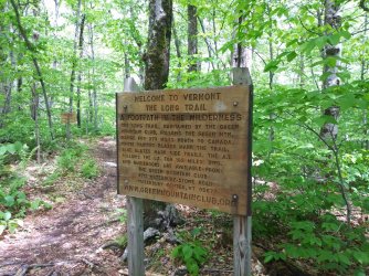
Welcome to the Long Trail sign. The AT and the Long Trail are together for about 100 miles before the AT branches off to the east towards NH
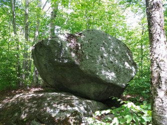
Random erratic boulder along the trail
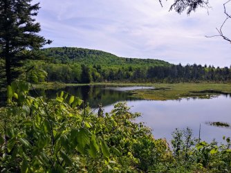
First of two beaver ponds that were along the trail
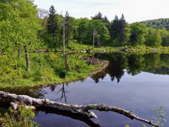
Same pond, note the beaver dam.
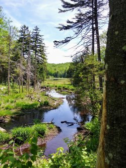
Thought this was a nice shot of the meadow and pond before crossing the same stream
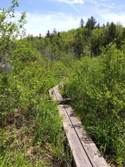
Boardwalk around the second beaver pond
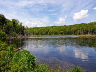
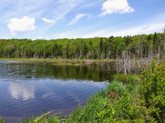
Second beaver pond
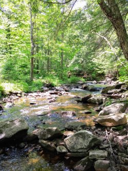
Followed this stream for a while. It was pretty and had lots of small waterfalls.
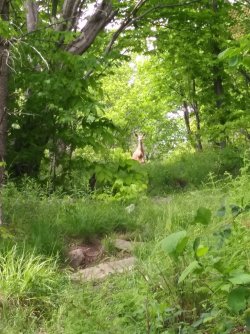
Met this young lady while climbing up Harmon Hill. It’s tough to see but there is a small fawn at her feet. She stood and stared at me for several minutes before bounding off into the trees.
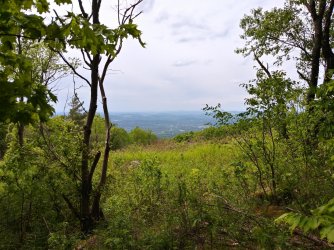
The view to the west from Harmon Hill (City of Bennington off in the distance)
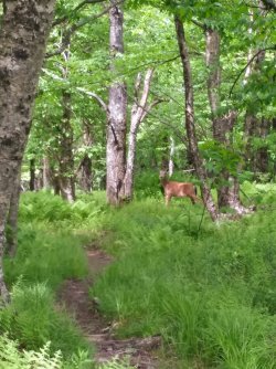
Another deer that I saw just after cresting Harmon Hill. About a mile later I started the steep descent that did me in.
There aren’t many views in this part of the trail, at least not mountain top type views. Much of the time you are in the woods. The trail had some very muddy sections and generally speaking you just had to embrace the suck and walk through. It was a bit humid so if you stopped for any length of time the bugs (black flies and a few mosquitos) found you. Night time was cool, in the 40s, so the bugs were gone by then.

Burn section on the approach trail (Pine Cobble Trail). This burn closed the AT for a short while a week or so ago.

White blaze of the AT

Welcome to the Long Trail sign. The AT and the Long Trail are together for about 100 miles before the AT branches off to the east towards NH

Random erratic boulder along the trail

First of two beaver ponds that were along the trail

Same pond, note the beaver dam.

Thought this was a nice shot of the meadow and pond before crossing the same stream

Boardwalk around the second beaver pond


Second beaver pond

Followed this stream for a while. It was pretty and had lots of small waterfalls.

Met this young lady while climbing up Harmon Hill. It’s tough to see but there is a small fawn at her feet. She stood and stared at me for several minutes before bounding off into the trees.

The view to the west from Harmon Hill (City of Bennington off in the distance)

Another deer that I saw just after cresting Harmon Hill. About a mile later I started the steep descent that did me in.
There aren’t many views in this part of the trail, at least not mountain top type views. Much of the time you are in the woods. The trail had some very muddy sections and generally speaking you just had to embrace the suck and walk through. It was a bit humid so if you stopped for any length of time the bugs (black flies and a few mosquitos) found you. Night time was cool, in the 40s, so the bugs were gone by then.
