Howells Outdoors
Adventure is my middle name...actually it's Keith.
- Joined
- Sep 26, 2012
- Messages
- 444
From the BLOG:
I was privileged with a chance to charter luggage and gear for a commercial trip with Four Corners Adventures and Wild Rivers Expeditions for 5 days on the San Juan River.
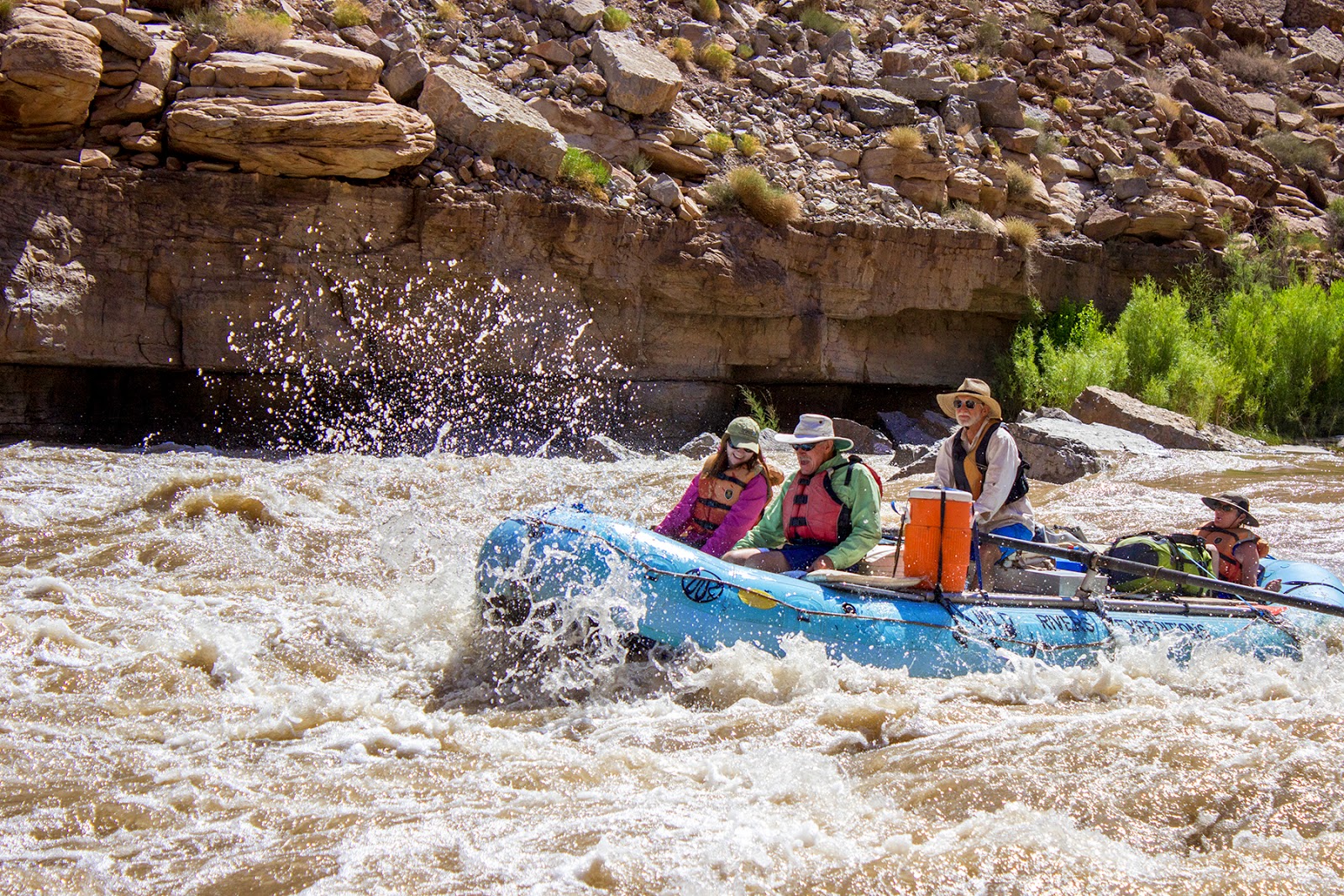
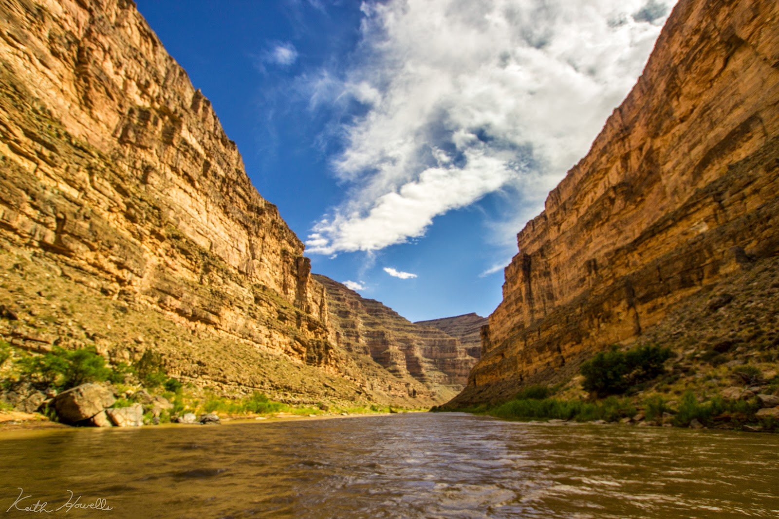
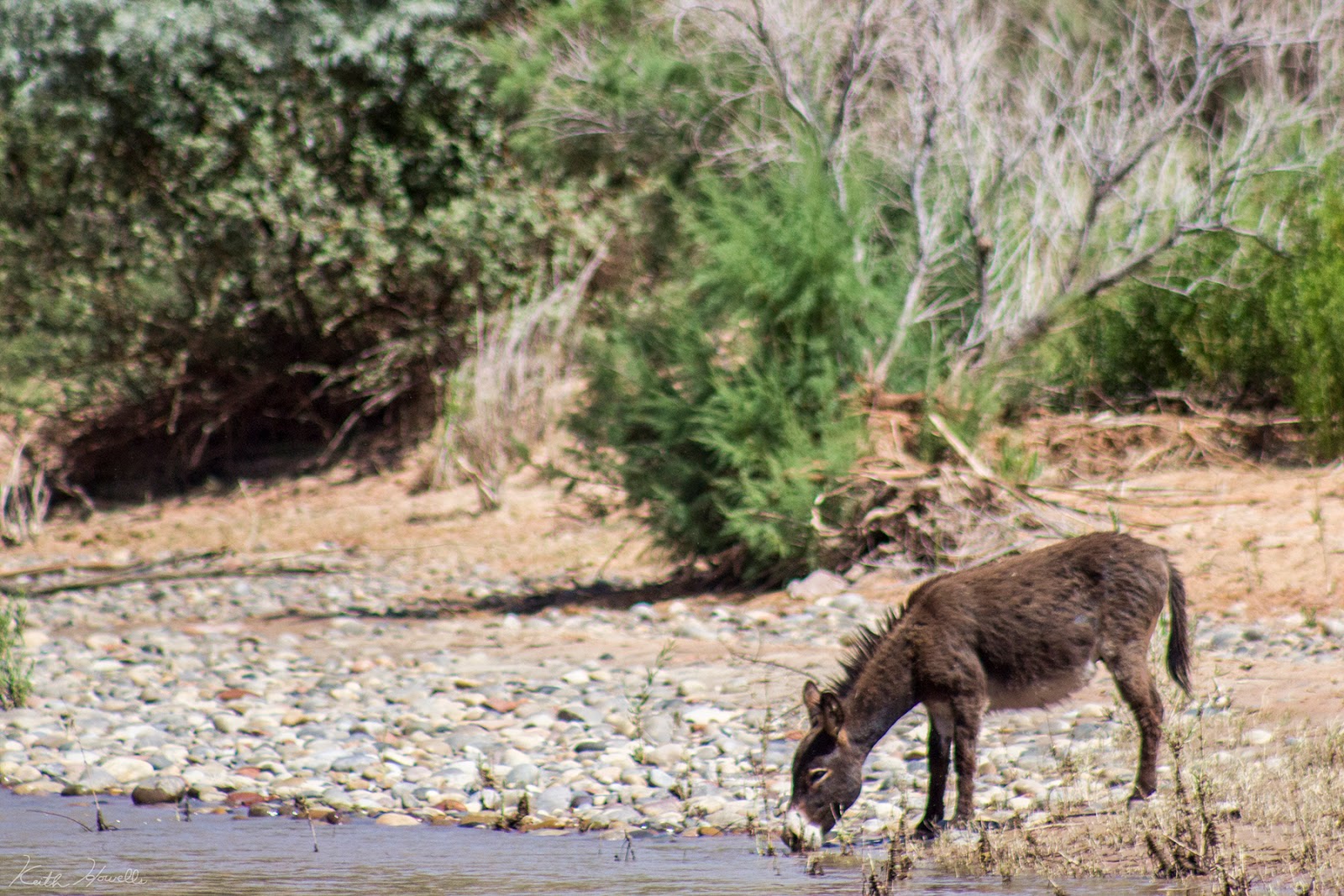
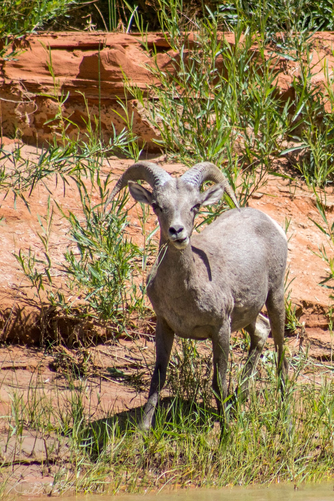
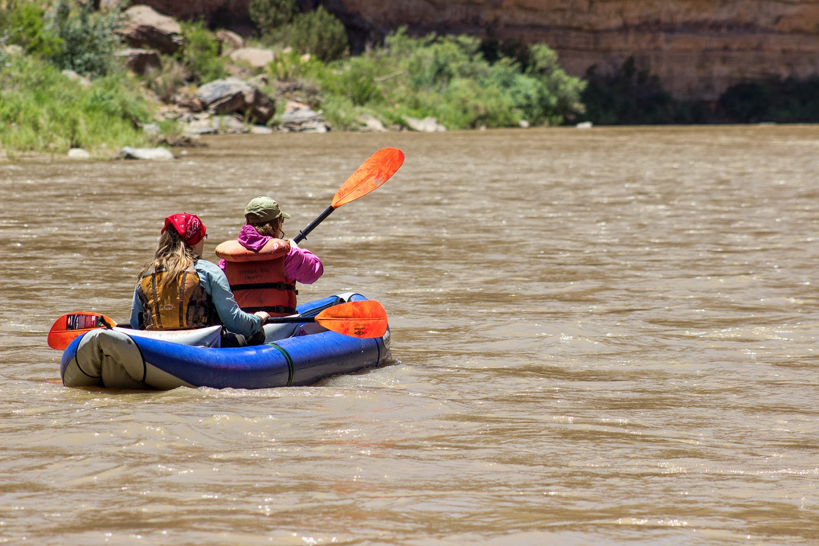
I hadn't ever been in the lower canyon of the San Juan and it was gorgeous. The canyon is so deep and the meanderings of the river in the Goosenecks is fun. Within minutes of entering the canyon I was lost on which way was north, and I'm usually pretty good at directions.
I quickly learned the benefits of river running verses backpacking: food!
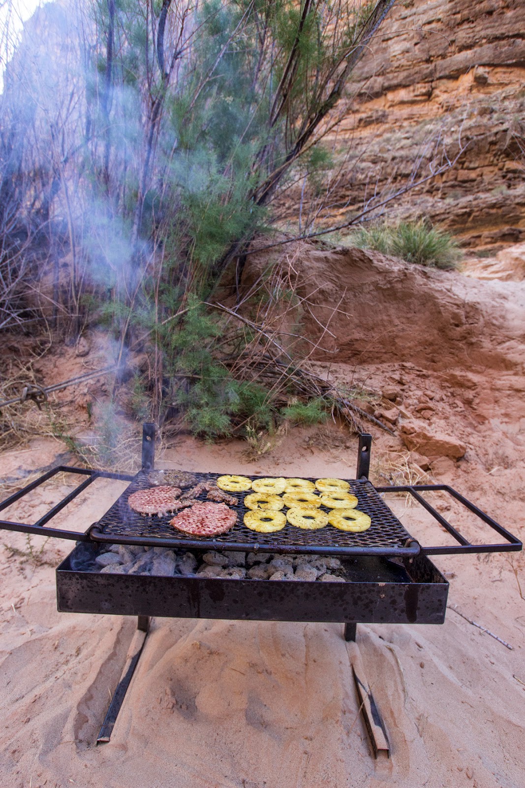
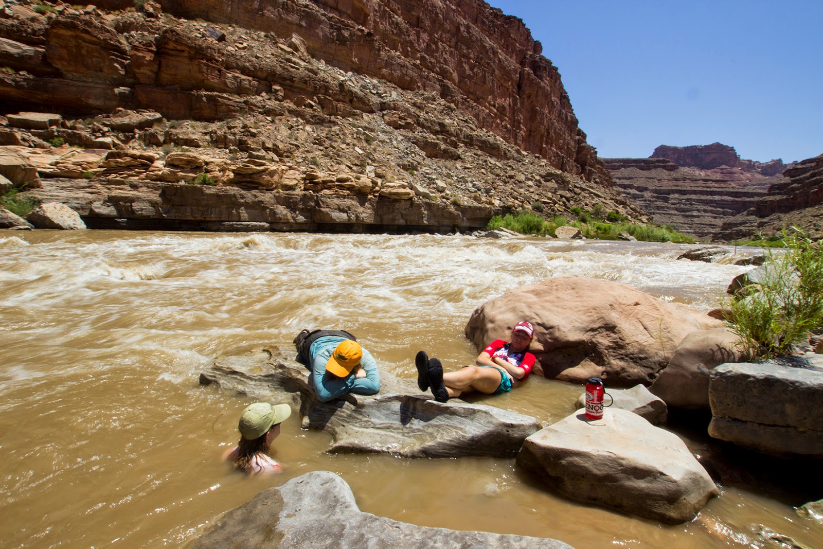
We got up and ran further down the river the next morning to an amazing site in a narrow section of the canyon. This site was a perfect place to stay. It only sees the sun (or for our benefit at night, the full moon) for a brief 3 hours each day. That really helped to eliminate the heat or the brightness of the night.
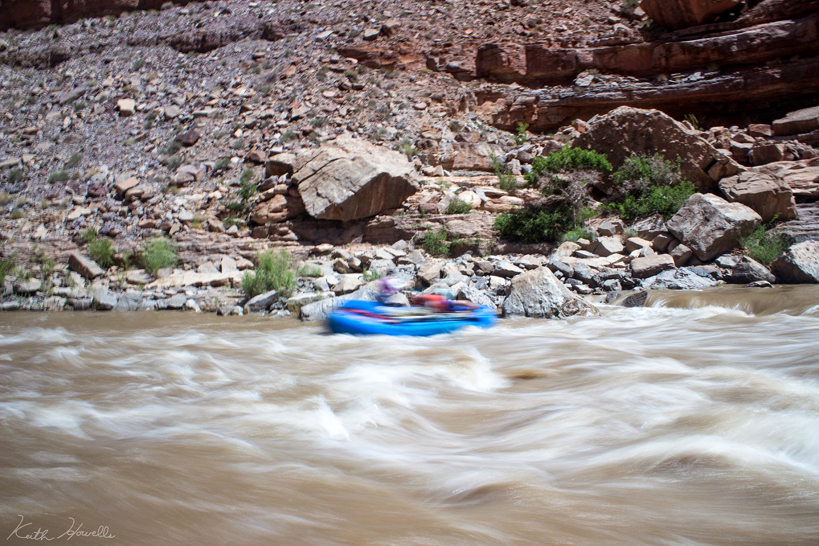
The next day we got through Government Rapid. One of the first times I have oared a major rapid and I did quite well. Kept it straight and true through the route I had scouted to run. Didn't snag on anything and never hit the rocks or side. Next time I go through it will be totally different because of water level, but good time. We hung out and watched the parade of boats come through and hit Government. That was fun. The guests took the duckie up and down the shore to run the rapid a few times.
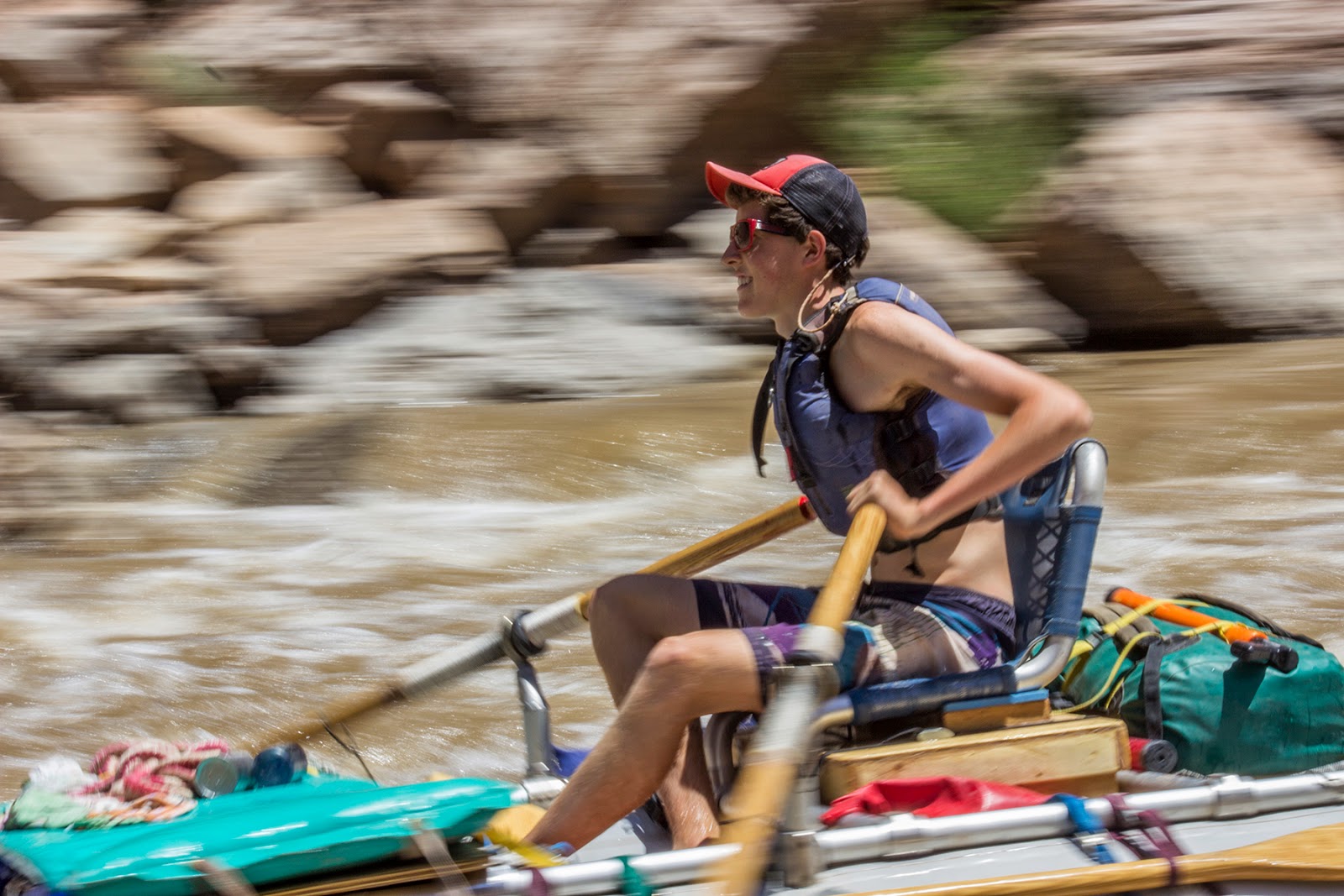
I tried to get some interesting shots with some slower shutter speeds. Meh.
Slickhorn Canyon was the next stop. We stayed the night at Slickhorn Camp A and got up early to hike the canyon and hang out before floating the 5 miles to our Grand Gulch Camp.
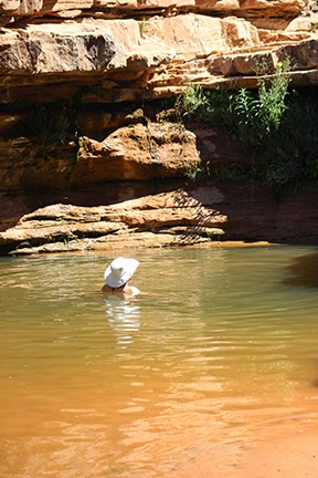
Slickhorn is awesome. I thought the geology was fascinating and of course the pools are fun to dive in also. Everyone should stop by Slickhorn and hike up at least a bit.
Our best campsite (and Groover site) was the last night at Grand Gulch. My heck it was gorgeous there. I was sad to hear Bird Bryan talk about the site before the Lake rose up high. The ledge we camped on, currently only a foot above the river, he said used to be the top of a 30 ft cliff next to a fun rapid. After Slickhorn the river turns into a wide, shallow, slow-moving lake.
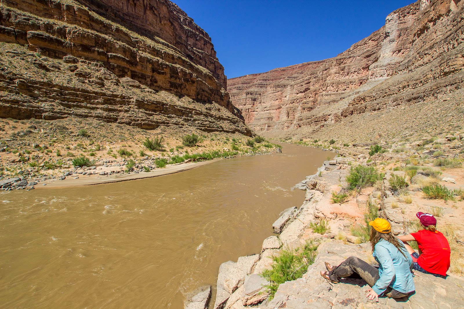
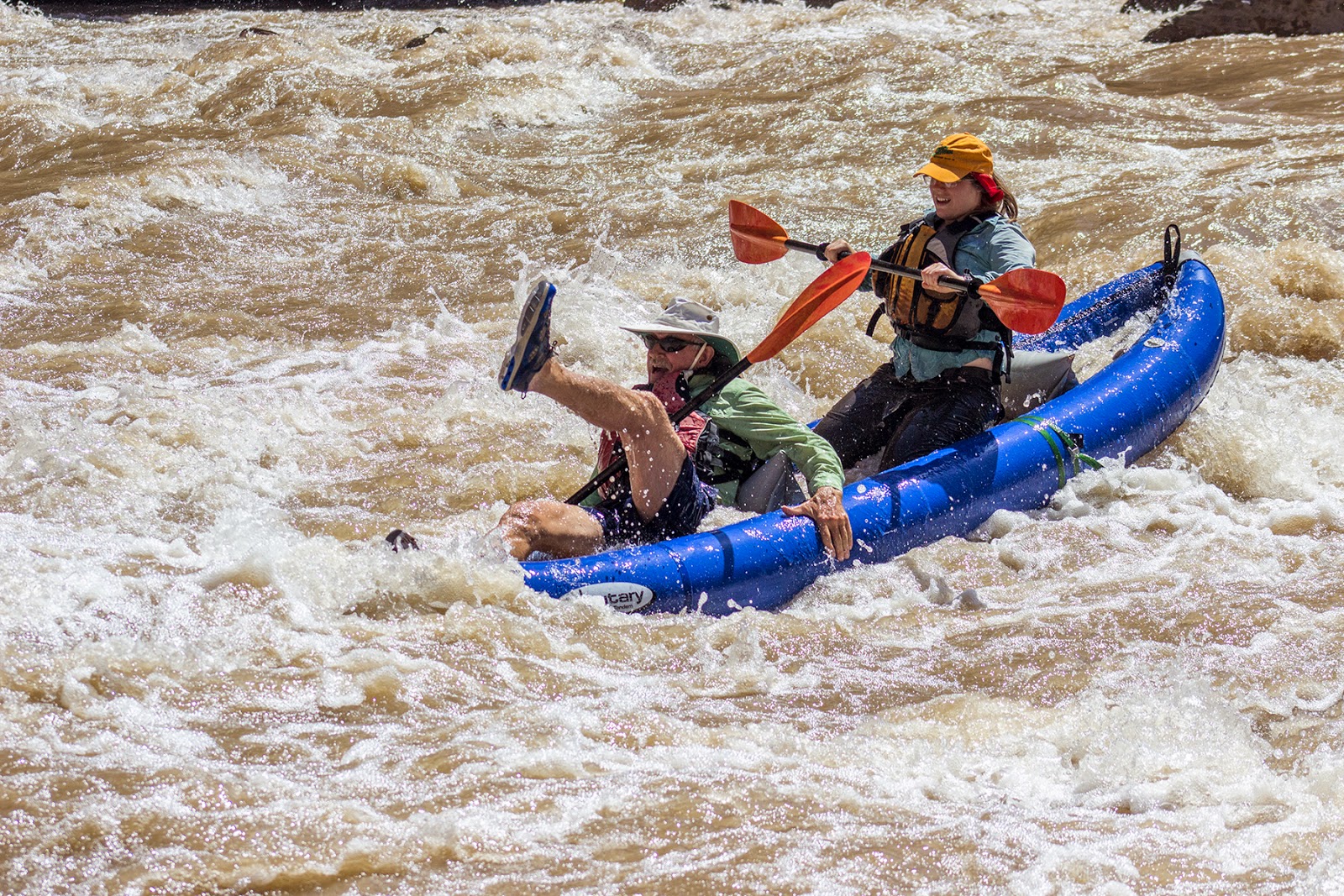
In the 80s when Lake Powell hit its high mark it caused sediment to build up; sometime 30 to 50 feet deep. As the lake dropped the river level dropped and it began to cut its way down into the sediment buildup. Then a mile past Clay Hills crossing the river cut down in a different path than it naturally had flowed and struck a layer of solid, jagged rock. The river could cut no more.
The San Juan River was blocked by this intrusion and even though the lake continued to drop the wall of rock served as its own dam and kept the sandbanks in place. From Slickhorn Canyon to the waterfall (1 mile past Clay Hills) the river is now a slow, shallow, meandering lake. There is a bit of current, but its only ankle deep in most places.
This is where I realized that the lake, although I love and use, has damaged the land and left this area a mess. It won't correct itself. Either we have to let the lake refill and hope it chooses a different path next time, or blow up the rock dam to get it to move again.
It may not seem all that bad to you, but once you go there and have to oar a boat for the last 20 miles of a river trip you'll understand. 20 miles of rowing as hard as you can to get moving, watching and weaving back and forth across the river trying to find the deepest sections. It isn't a matter of not getting stuck, it's a matter of where is the best place to get stuck on a sand bar. The whole time praying that the winds don't pick up because they blow up canyon...and with no current that is bad. Oar as hard as you can in hopes that you don't go upstream and when the break comes you can get a few feet down canyon before it picks back up.
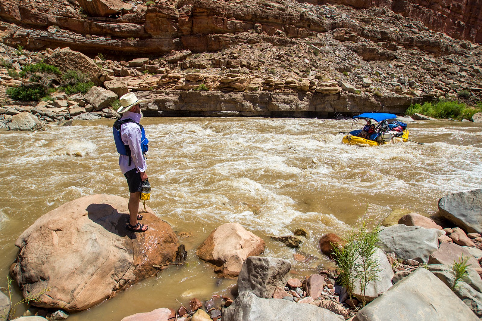
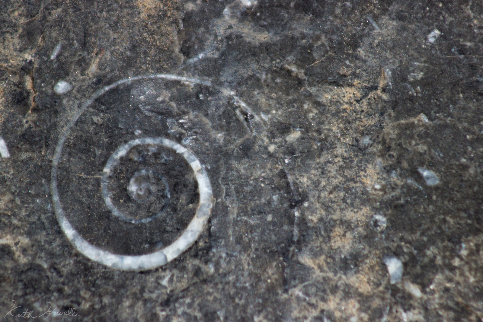
Yeah, not a fan of that last 20 miles of "river!" This is a similar plight along the Colorado River, the Dirty Devil, the Escalante and all other side drainages. We flooded what John Wesley Powell said was his favorite. We forced hundreds to move from their homes (Hite and other towns). We destroyed thousands of Ancestral Puebloan sites. Clogged up countless canyons. Bleached out miles and miles of beautiful canyon walls. Ruined Marble Canyon and the Grand Canyon beaches. All so a lake could fill with sand and dry up?
Where Hite was flooded isn't even a lake anymore. It's a giant mess of mud and the boat ramp is a mile from the river, totally unusable. And the cursed bathtub ring. It will forever be a tribute to the Bureau of Reclamations overzealous hands in building the Glen Canyon dam.
I love Lake Powell. I spend a lot of time on the lake and enjoy it, but if it was to be decommissioned I wouldn't be sad.
Featured image for home page:
I was privileged with a chance to charter luggage and gear for a commercial trip with Four Corners Adventures and Wild Rivers Expeditions for 5 days on the San Juan River.


I hadn't ever been in the lower canyon of the San Juan and it was gorgeous. The canyon is so deep and the meanderings of the river in the Goosenecks is fun. Within minutes of entering the canyon I was lost on which way was north, and I'm usually pretty good at directions.
I quickly learned the benefits of river running verses backpacking: food!

We got up and ran further down the river the next morning to an amazing site in a narrow section of the canyon. This site was a perfect place to stay. It only sees the sun (or for our benefit at night, the full moon) for a brief 3 hours each day. That really helped to eliminate the heat or the brightness of the night.
The next day we got through Government Rapid. One of the first times I have oared a major rapid and I did quite well. Kept it straight and true through the route I had scouted to run. Didn't snag on anything and never hit the rocks or side. Next time I go through it will be totally different because of water level, but good time. We hung out and watched the parade of boats come through and hit Government. That was fun. The guests took the duckie up and down the shore to run the rapid a few times.
I tried to get some interesting shots with some slower shutter speeds. Meh.

Slickhorn Canyon was the next stop. We stayed the night at Slickhorn Camp A and got up early to hike the canyon and hang out before floating the 5 miles to our Grand Gulch Camp.
Slickhorn is awesome. I thought the geology was fascinating and of course the pools are fun to dive in also. Everyone should stop by Slickhorn and hike up at least a bit.
Our best campsite (and Groover site) was the last night at Grand Gulch. My heck it was gorgeous there. I was sad to hear Bird Bryan talk about the site before the Lake rose up high. The ledge we camped on, currently only a foot above the river, he said used to be the top of a 30 ft cliff next to a fun rapid. After Slickhorn the river turns into a wide, shallow, slow-moving lake.


In the 80s when Lake Powell hit its high mark it caused sediment to build up; sometime 30 to 50 feet deep. As the lake dropped the river level dropped and it began to cut its way down into the sediment buildup. Then a mile past Clay Hills crossing the river cut down in a different path than it naturally had flowed and struck a layer of solid, jagged rock. The river could cut no more.
The San Juan River was blocked by this intrusion and even though the lake continued to drop the wall of rock served as its own dam and kept the sandbanks in place. From Slickhorn Canyon to the waterfall (1 mile past Clay Hills) the river is now a slow, shallow, meandering lake. There is a bit of current, but its only ankle deep in most places.
This is where I realized that the lake, although I love and use, has damaged the land and left this area a mess. It won't correct itself. Either we have to let the lake refill and hope it chooses a different path next time, or blow up the rock dam to get it to move again.
It may not seem all that bad to you, but once you go there and have to oar a boat for the last 20 miles of a river trip you'll understand. 20 miles of rowing as hard as you can to get moving, watching and weaving back and forth across the river trying to find the deepest sections. It isn't a matter of not getting stuck, it's a matter of where is the best place to get stuck on a sand bar. The whole time praying that the winds don't pick up because they blow up canyon...and with no current that is bad. Oar as hard as you can in hopes that you don't go upstream and when the break comes you can get a few feet down canyon before it picks back up.


Yeah, not a fan of that last 20 miles of "river!" This is a similar plight along the Colorado River, the Dirty Devil, the Escalante and all other side drainages. We flooded what John Wesley Powell said was his favorite. We forced hundreds to move from their homes (Hite and other towns). We destroyed thousands of Ancestral Puebloan sites. Clogged up countless canyons. Bleached out miles and miles of beautiful canyon walls. Ruined Marble Canyon and the Grand Canyon beaches. All so a lake could fill with sand and dry up?
Where Hite was flooded isn't even a lake anymore. It's a giant mess of mud and the boat ramp is a mile from the river, totally unusable. And the cursed bathtub ring. It will forever be a tribute to the Bureau of Reclamations overzealous hands in building the Glen Canyon dam.
I love Lake Powell. I spend a lot of time on the lake and enjoy it, but if it was to be decommissioned I wouldn't be sad.


Featured image for home page:

