Ranger Joe
Feed the Rangers, not the wildlife!
- Joined
- Jan 27, 2012
- Messages
- 46
Quick links to all trip reports in this series:
Part 1 | Part 2 | Part 3 | Part 4 | Part 5 | Part 6 | Part 7 | Part 8 | Part 9
Greetings again, fellow Liberteers, it's time again for Episode IV of the Great Colorado Expedition of 2012. Today we join in on the 25th Annual Ouray Jeep Jamboree as we tackle Poughkeepsie Gulch, the most difficult trail offered on the Jamboree.
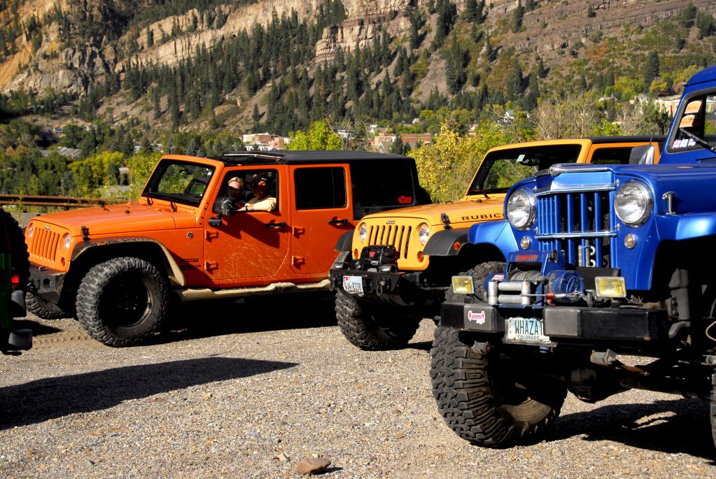
Following our solo excursion on Black Bear Pass, all JJ participants had to have their vehicles evaluated by the JJ trail leaders. They checked to see who had lifts and skid plates, first aid kits and tire sizes. They also asked what trails we were interested in running, and whether or not the vehicle could handle it. There were Jeeps of all sizes and colors, including a new Grand Cherokee and one Patriot.
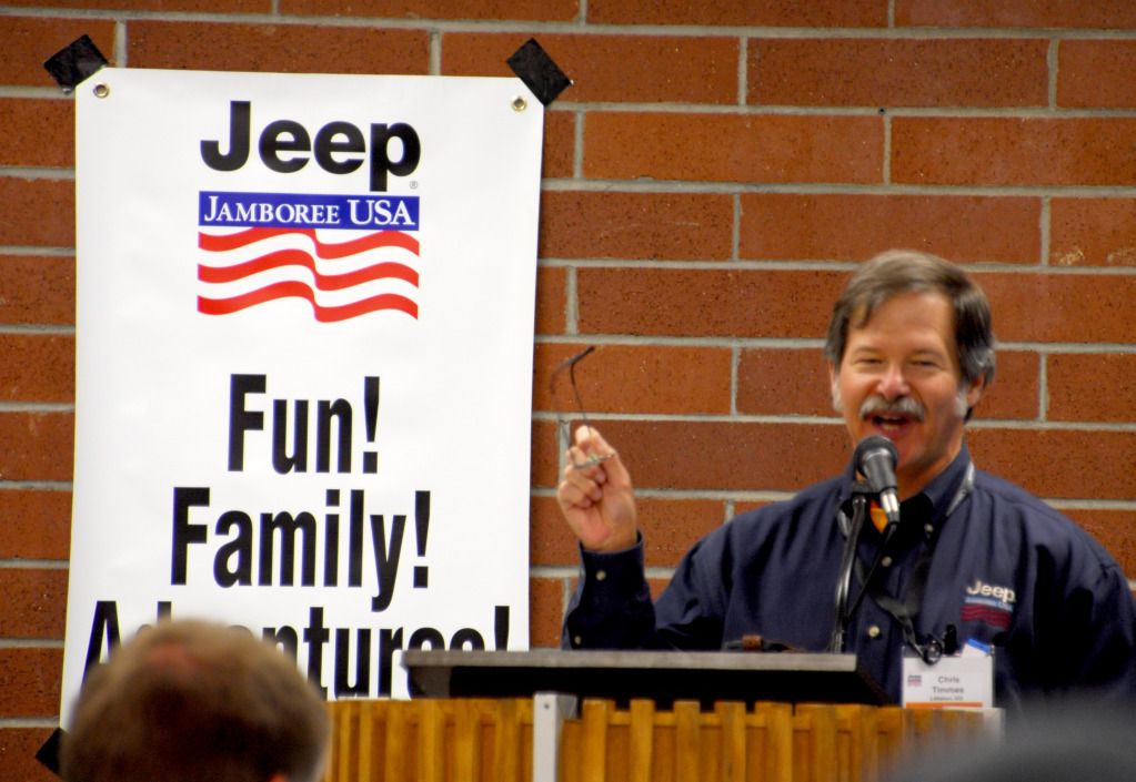
Waldo Kadiddlehopper, er, I mean Ouray Jeep Jamboree Coordinator Chris Timmes gives us the morning briefing before we head out on the trails.
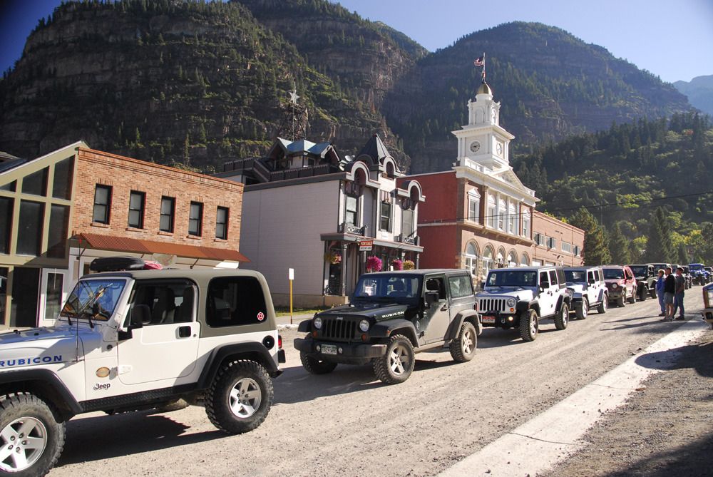
The group headed off to Poughkeepsie Gulch assembled on the street in front of the Ouray Community Center, which is where the JJ was headquartered for the event. Note the lone Liberty. Half of the Jeeps in our group were Rubicons.
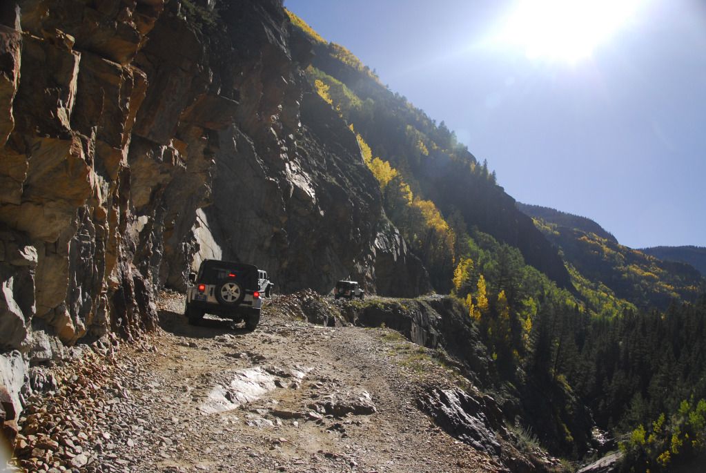
The first part of the trail is the beginning of the Alpine Loop road up towards Engineer Pass...it was nice to see this in sunshine.
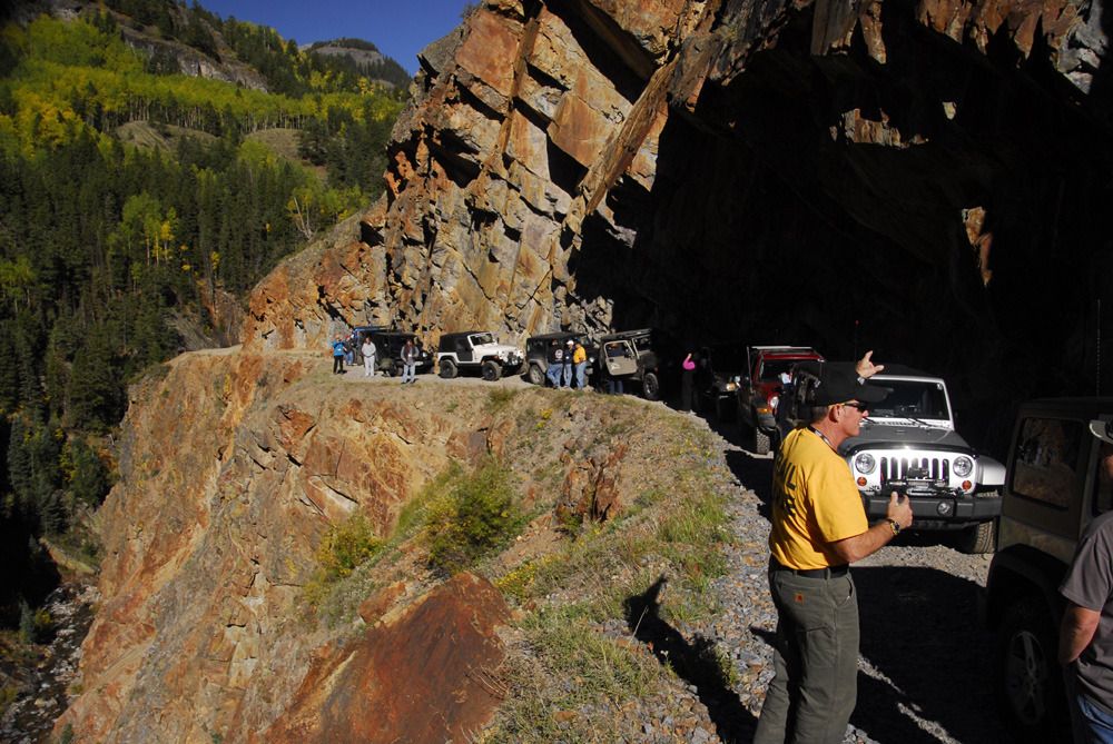
Stopping along the way on the shelf road.
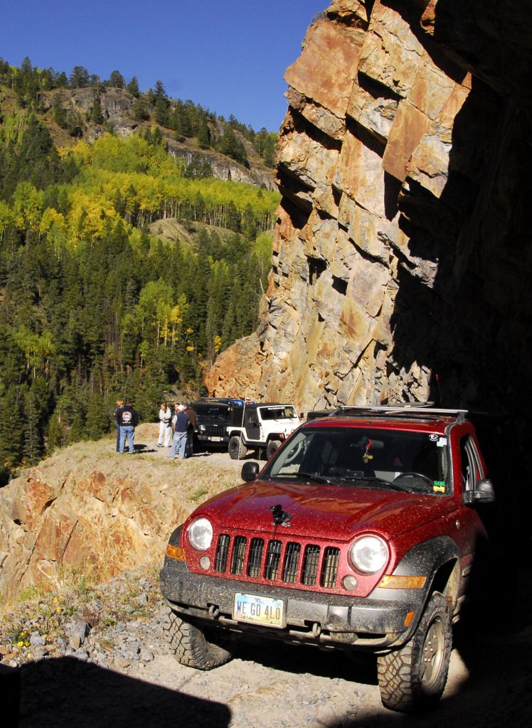
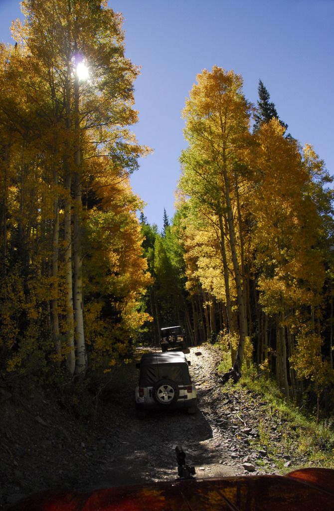
Approaching the turnoff for Poughkeepsie Gulch.
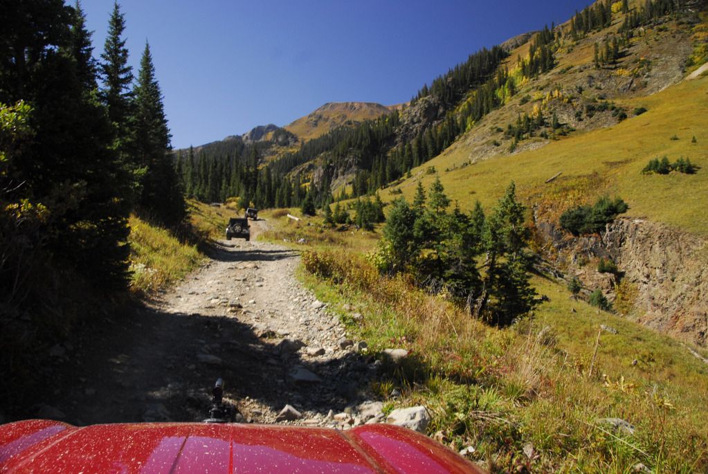
We had gone up Poughkeepsie last year on the Jamboree, but it was raining and snowing then...not the case today. Poughkeepsie is a wonderful, scenic trail.
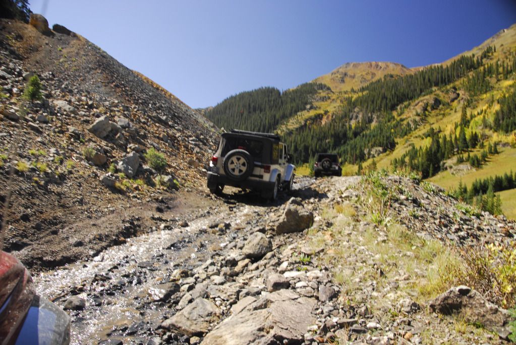
It's also a little rockier than other trails in the area.
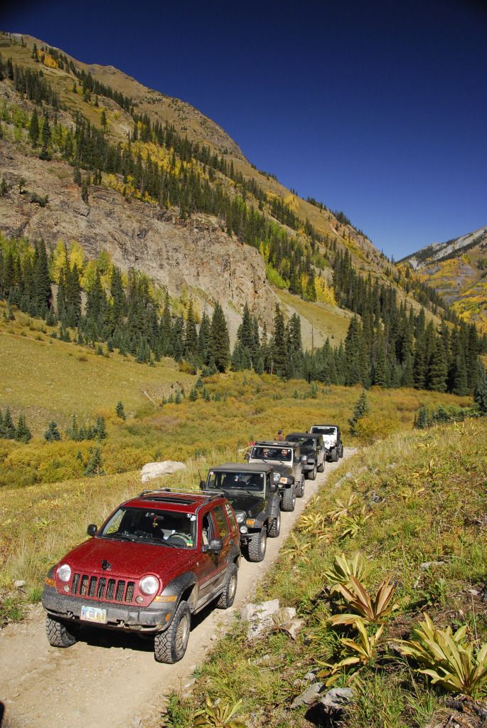
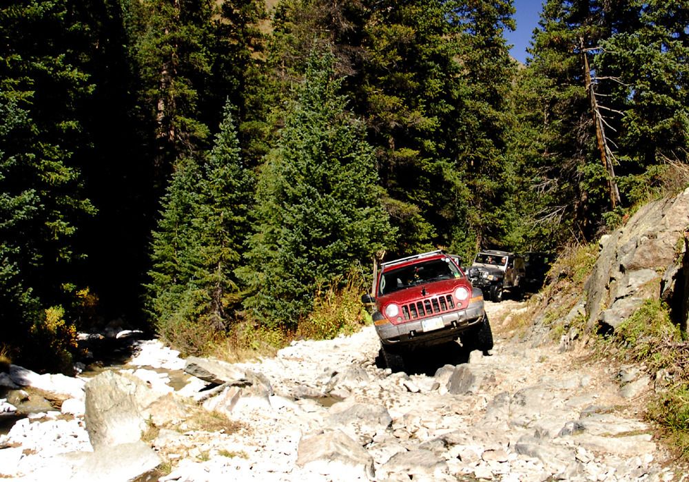
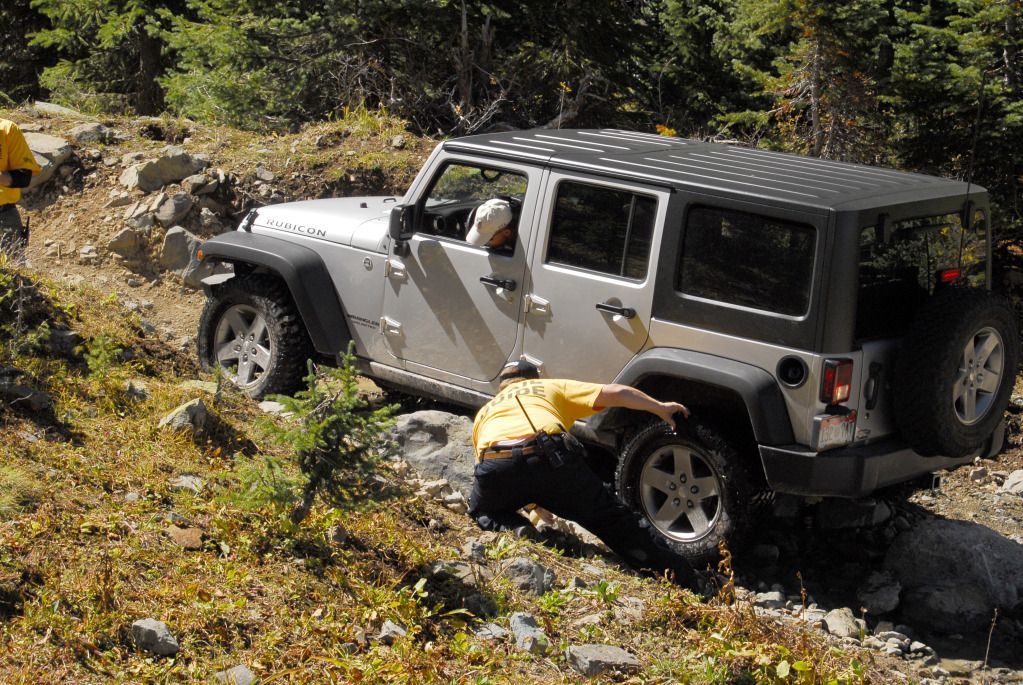
We were given the option of three routes around a set of rocks...this Wrangler opted for the most difficult...
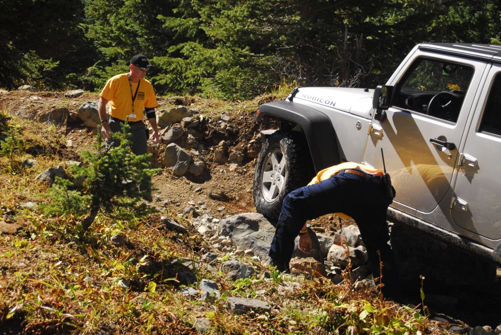
...and even with a bit of trail terraforming, didn't make it. All of us opted for the medium difficulty option.
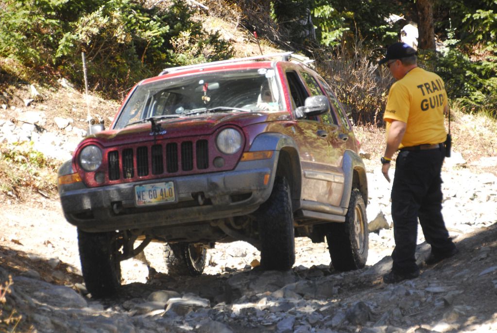
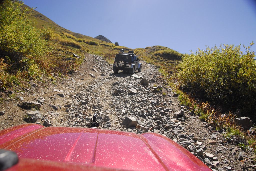
On the way up.
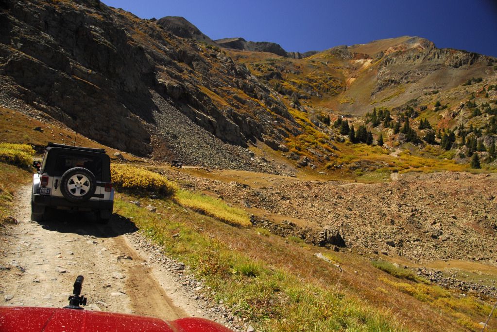
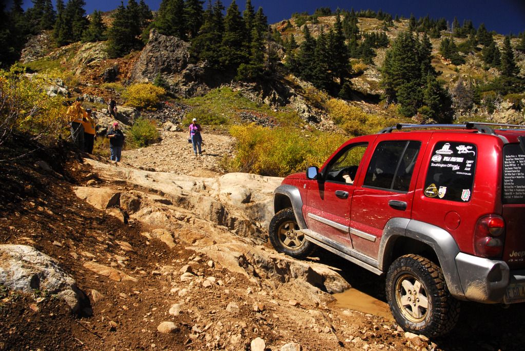
Our first actual obstacle, a fairly large rock in the middle of the trail. Last year we had to work our way around this as it was too wet to get over.
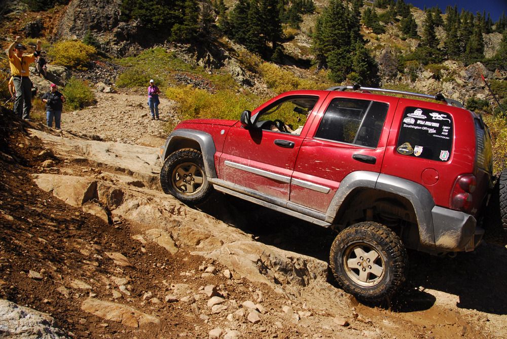
Our trail leader, Mark Chriss, gives Linda instructions as the Libby flexes.
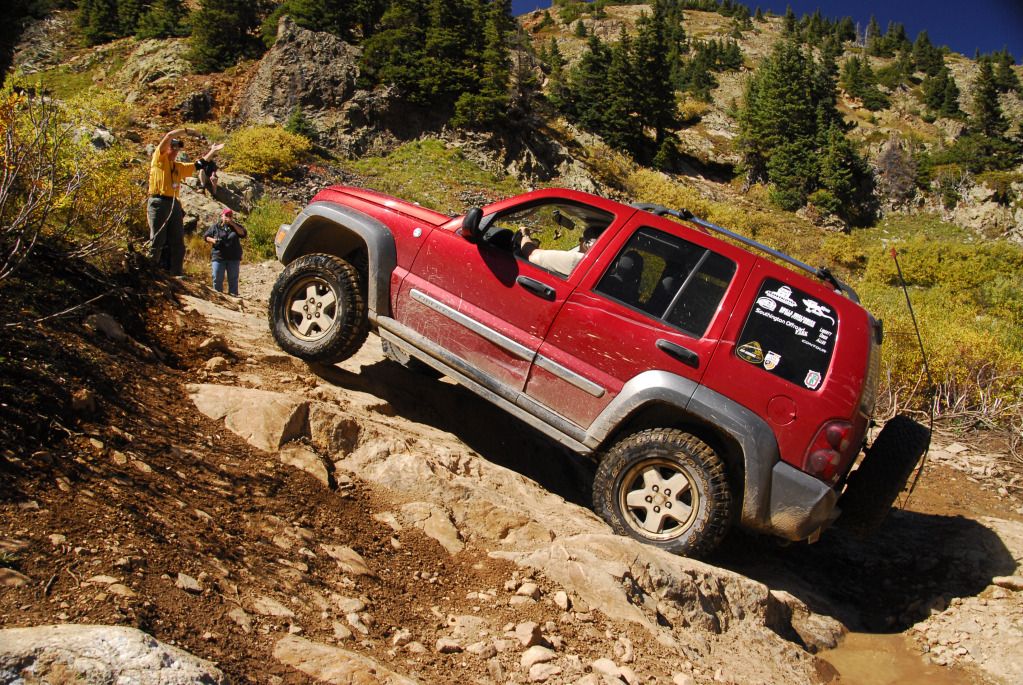
"OTHER left!"
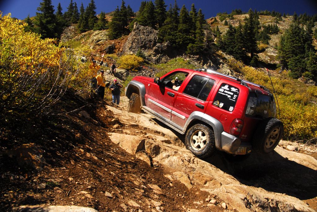
Up and over without a problem.
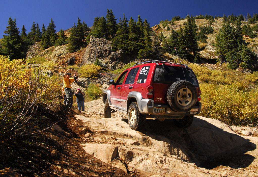
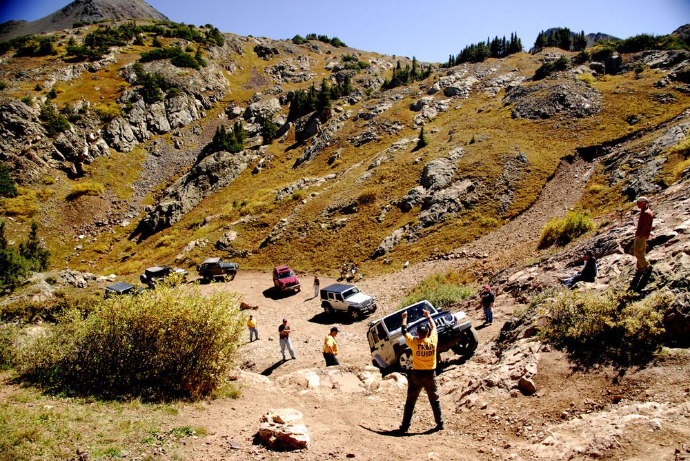
Our next obstacle was a bit more formidable...The Wall. We had lunch at the base before attempting to climb it.
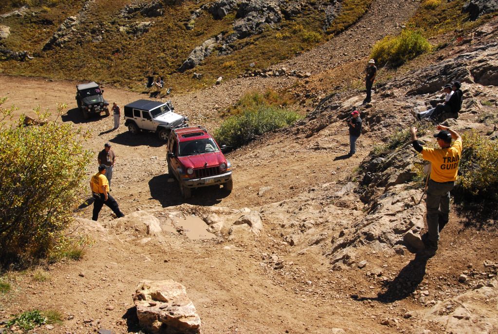
Linda lines up for her attempt. Trail leader Mark provides direction.
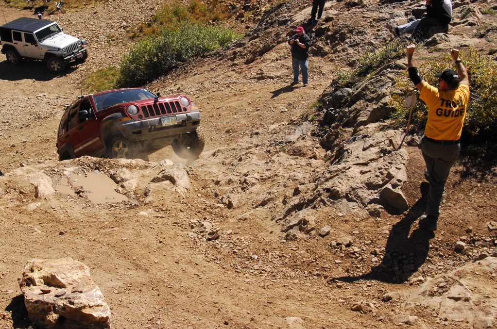
Linda's first attempt didn't make it, so Mark had her back down a bit and take a slightly different line.
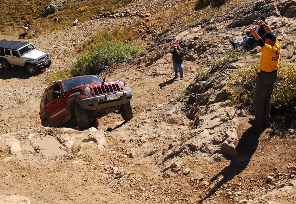
This line was much better.
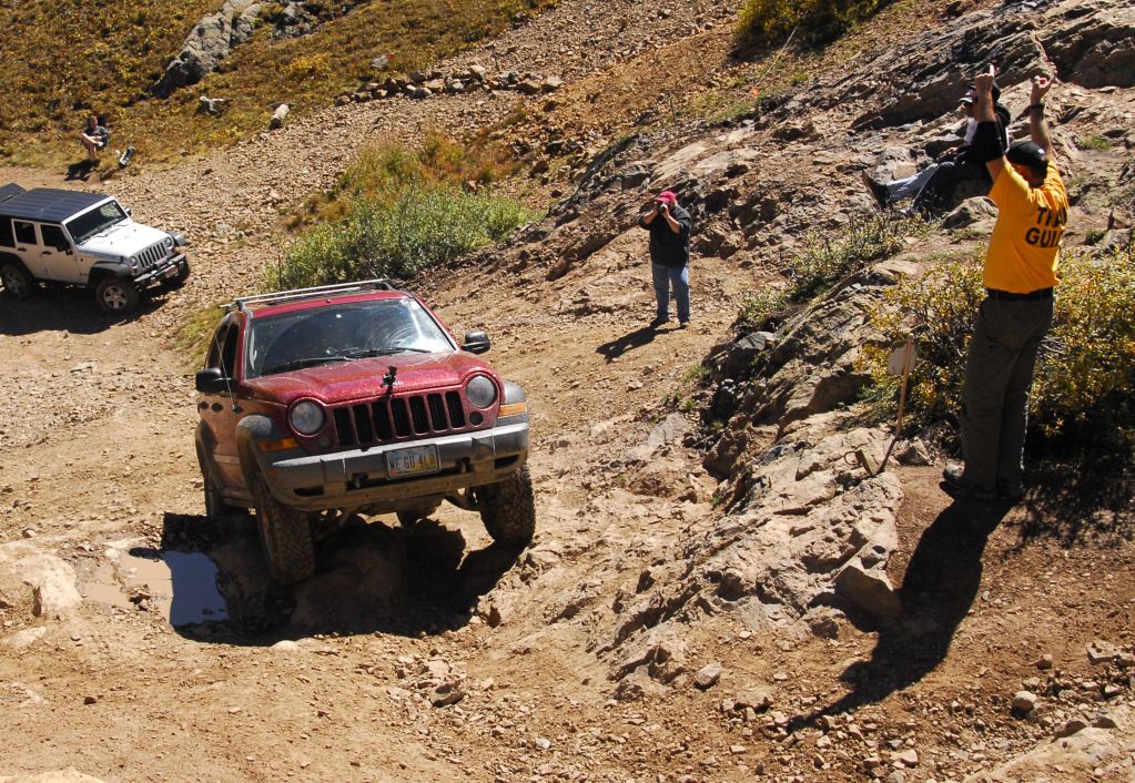
Success!
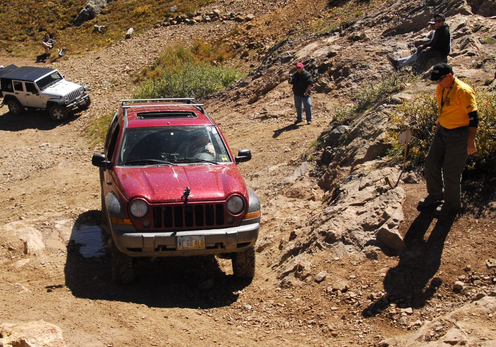
Linda takes the Libby over the top.
Video of Linda taking the Libby over the wall. I told her that as a reward for driving so well, she could buy a new spinning wheel.
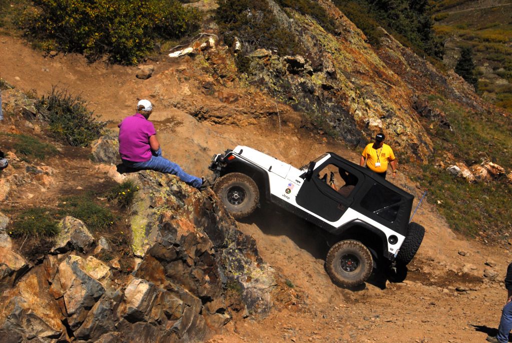
This gives you some idea of what the angle is like. Everybody in our group made it over...some taking more than the alloted three tries. The most interesting was the wife of one of the trail leaders, driving her husband's Rubicon for the first time (and wearing flip-flops), who took several attempts before successfully bouncing up the Wall, sometimes with two tires in the air. Last year, only one vehicle made it up under their own power...everyone else had to be strapped up.
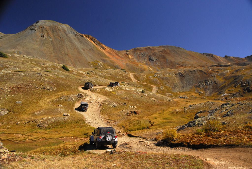
The journey continued as we headed up towards Lake Como.
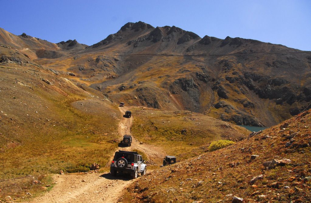
Approaching Lake Como. Our path would take us up to that shelf road running across the mountain in the background.
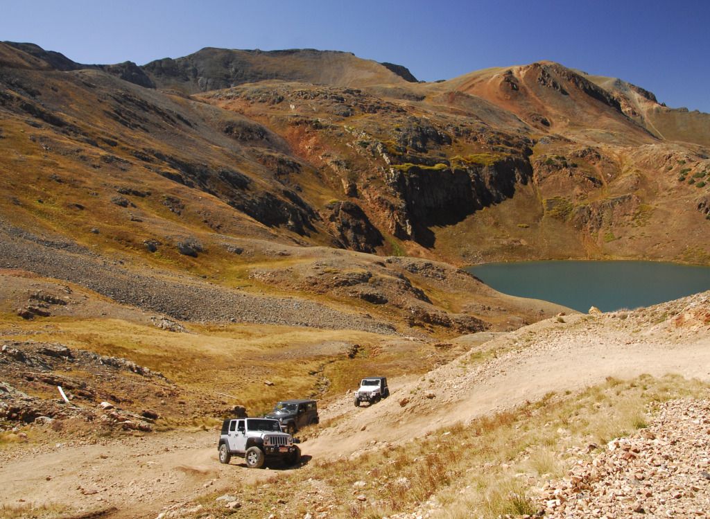
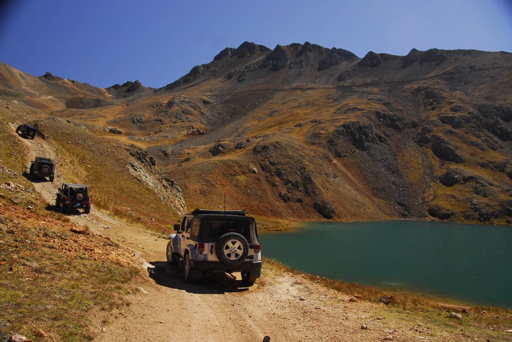
Passing Lake Como.
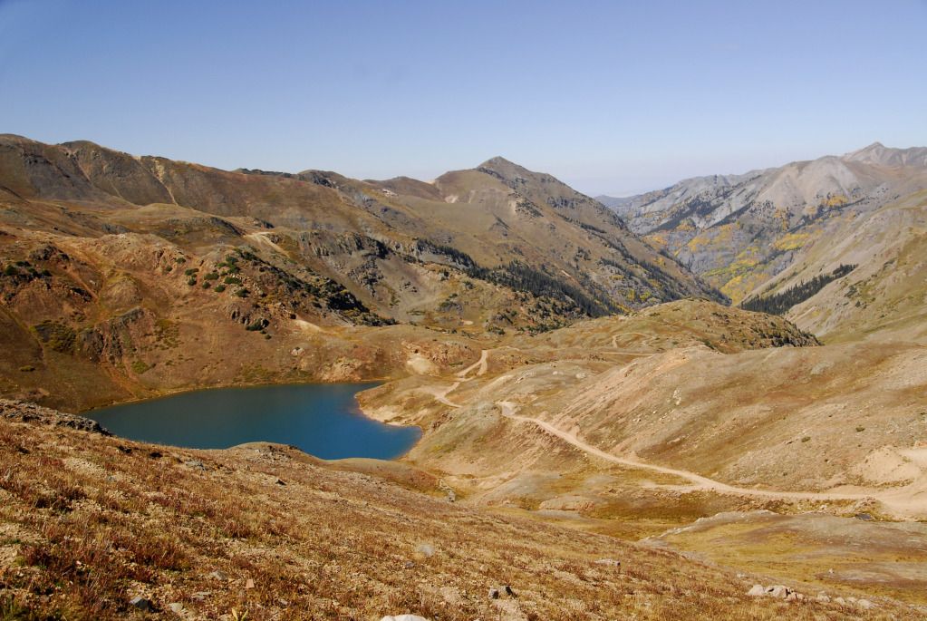
The view back down Poughkeepsie Gulch from California Pass.
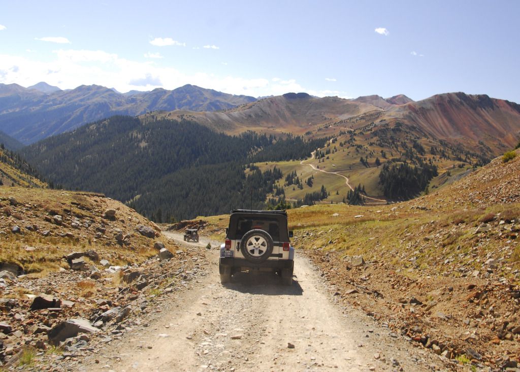
Headed towards Corkscrew Pass from Hurricane Pass.
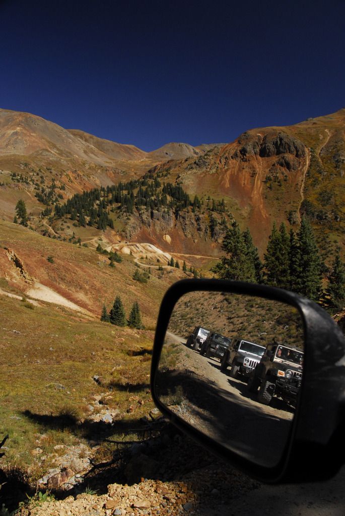
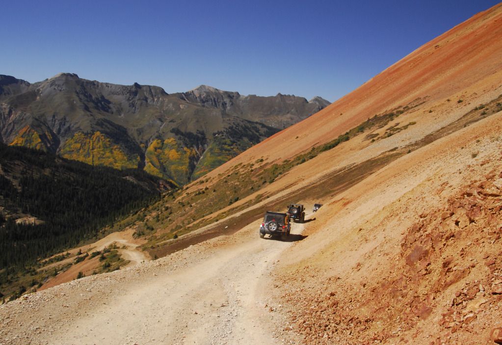
Descending from Corkscrew Pass. On our first Jamboree in 2009, we came down this trail in a hailstorm.
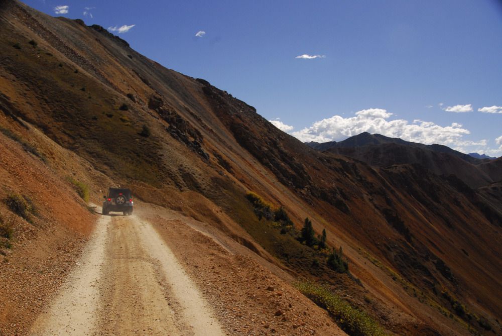
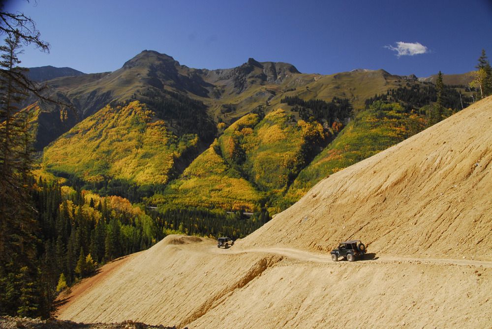
Coming back down below the tree line on our way back to Ouray.
Stay tuned for the next adventure as we make a leisurely climb into Yankee Boy Basin and Governor Basin on Day Two of the Ouray Jeep Jamboree.
Quick links to all trip reports in this series:
Part 1 | Part 2 | Part 3 | Part 4 | Part 5 | Part 6 | Part 7 | Part 8 | Part 9
Part 1 | Part 2 | Part 3 | Part 4 | Part 5 | Part 6 | Part 7 | Part 8 | Part 9
Greetings again, fellow Liberteers, it's time again for Episode IV of the Great Colorado Expedition of 2012. Today we join in on the 25th Annual Ouray Jeep Jamboree as we tackle Poughkeepsie Gulch, the most difficult trail offered on the Jamboree.

Following our solo excursion on Black Bear Pass, all JJ participants had to have their vehicles evaluated by the JJ trail leaders. They checked to see who had lifts and skid plates, first aid kits and tire sizes. They also asked what trails we were interested in running, and whether or not the vehicle could handle it. There were Jeeps of all sizes and colors, including a new Grand Cherokee and one Patriot.

Waldo Kadiddlehopper, er, I mean Ouray Jeep Jamboree Coordinator Chris Timmes gives us the morning briefing before we head out on the trails.

The group headed off to Poughkeepsie Gulch assembled on the street in front of the Ouray Community Center, which is where the JJ was headquartered for the event. Note the lone Liberty. Half of the Jeeps in our group were Rubicons.

The first part of the trail is the beginning of the Alpine Loop road up towards Engineer Pass...it was nice to see this in sunshine.

Stopping along the way on the shelf road.


Approaching the turnoff for Poughkeepsie Gulch.

We had gone up Poughkeepsie last year on the Jamboree, but it was raining and snowing then...not the case today. Poughkeepsie is a wonderful, scenic trail.

It's also a little rockier than other trails in the area.


We were given the option of three routes around a set of rocks...this Wrangler opted for the most difficult...

...and even with a bit of trail terraforming, didn't make it. All of us opted for the medium difficulty option.


On the way up.


Our first actual obstacle, a fairly large rock in the middle of the trail. Last year we had to work our way around this as it was too wet to get over.

Our trail leader, Mark Chriss, gives Linda instructions as the Libby flexes.

"OTHER left!"

Up and over without a problem.


Our next obstacle was a bit more formidable...The Wall. We had lunch at the base before attempting to climb it.

Linda lines up for her attempt. Trail leader Mark provides direction.

Linda's first attempt didn't make it, so Mark had her back down a bit and take a slightly different line.

This line was much better.

Success!

Linda takes the Libby over the top.

This gives you some idea of what the angle is like. Everybody in our group made it over...some taking more than the alloted three tries. The most interesting was the wife of one of the trail leaders, driving her husband's Rubicon for the first time (and wearing flip-flops), who took several attempts before successfully bouncing up the Wall, sometimes with two tires in the air. Last year, only one vehicle made it up under their own power...everyone else had to be strapped up.

The journey continued as we headed up towards Lake Como.

Approaching Lake Como. Our path would take us up to that shelf road running across the mountain in the background.


Passing Lake Como.

The view back down Poughkeepsie Gulch from California Pass.

Headed towards Corkscrew Pass from Hurricane Pass.


Descending from Corkscrew Pass. On our first Jamboree in 2009, we came down this trail in a hailstorm.


Coming back down below the tree line on our way back to Ouray.
Stay tuned for the next adventure as we make a leisurely climb into Yankee Boy Basin and Governor Basin on Day Two of the Ouray Jeep Jamboree.
Quick links to all trip reports in this series:
Part 1 | Part 2 | Part 3 | Part 4 | Part 5 | Part 6 | Part 7 | Part 8 | Part 9
