regehr
Member
- Joined
- Mar 28, 2012
- Messages
- 2,404
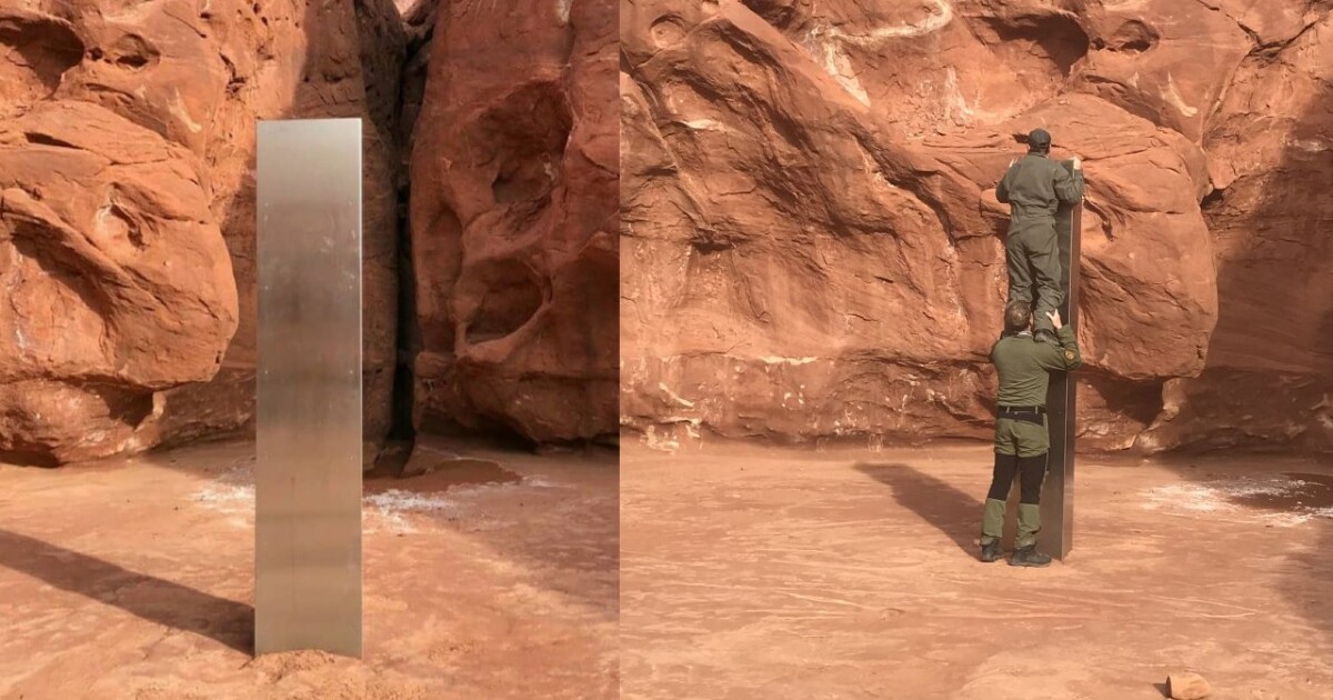
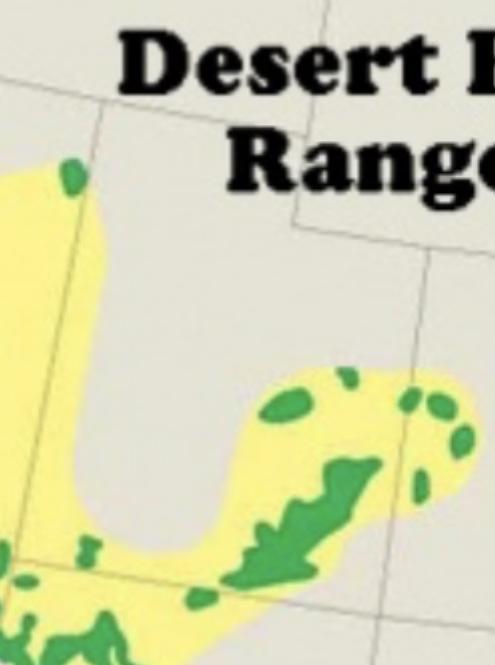
We are not alone? Mysterious object found in Utah during sheep count
Not since a monolith was found on the surface of the moon in Stanley Kubrick's classic "2001: A Space Odyssey" has a mystery object confounded the greatest minds of our generation.
 www.fox13now.com