MIGHTY RIVER
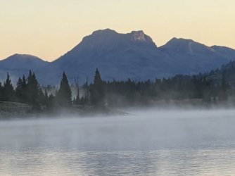
Day 6 started out cold, with fog rising off of Bridger Lake. Our goal for the next couple of days was to follow the Yellowstone River upstream to its source. That was 20 miles away, so I was hoping to cover as much ground as possible on day 6.
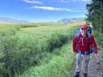
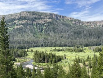
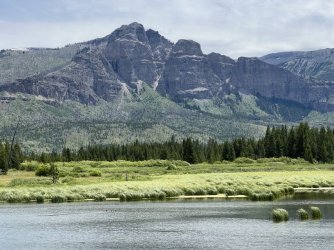
We packed up early and hiked back to the meadow at the Hawks Rest patrol cabin. We passed by the bridge over the river, continuing upstream in the shadow of the cliffs of Hawks Rest. This trail gets less use, and it was a bit overgrown with wet vegetation.
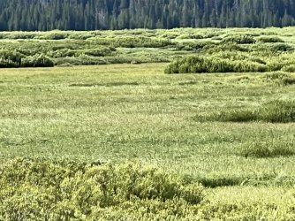
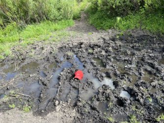
We enjoyed pleasant, easy walking despite the occasional mud pit. After a couple of miles, I spotted something moving among the willows close to the river. It was far away, and all I could see was that it was large and brown. My first thought was moose, since it was browsing in the willows. Then I got a clearer look, and it was obviously a bear. Larry and I watched it for a while, but it was too far way to determine if it was a black bear or a grizzly.
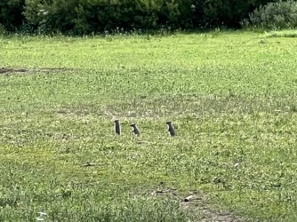
A bit later we arrived at a large outfitter camp. As we walked in, a whole herd (?) of prairie dogs scattered, running every which way. They all took cover, but a few popped back up to keep an eye on us.
As we were passing through the camp, I spotted something odd in a hole in the ground. At first I thought it was ice, but it turned out to be a block of salt. Although it is illegal, some outfitters continue to plant blocks of salt in the Teton Wilderness in an attempt to draw elk out of Yellowstone National Park. This one was right in the campsite, directly in front of a tree stand. Sporting, huh?
A bit later we passed an old overgrown trail heading uphill towards Hawks Rest. There was even an old sign that said, “Hawks Rest”. I was surprised, as I thought the only route up was a bushwhack. A little farther on, we passed a better trail heading in the same direction. I’m guessing that one or both of those trails goes up to the top of the butte. Originally, I had hoped to include that in our agenda, but we didn’t have enough time. The best strategy would be to camp along the river near the bottom of those trails and dedicate a ½ day to the side trip.
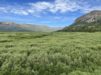
We finally reached the south end of Yellowstone Meadows a bit later. We continued upstream, loosely paralleling the river. The next stretch of trail was through a mixture of woods and smaller meadows, generally well above the river.
Late that morning an outfitter group with clients and horses on a pack string passed us by. We chatted with the guides briefly. They were very friendly and interested in our trip. The clients were another story. I kept trying to make eye contact with them, but none of them would look at me. Did they think we were homeless? Maybe they thought we were going to ask them for money. Or food. Beer? Maybe whiskey. I definitely would've taken a beer or whiskey if one of them had offered.
We had lunch at a nice spot along the river. While the morning had been cool with pleasant hiking, the afternoon was a different experience. We spent the rest of the day in heavy timber, and the trail was in terrible shape. Every minute or two we had to climb over, crawl under, or find a way around a fallen tree. Later we found out that it would have been worse if we had arrived a day earlier. We ran into the outfitters we had met the next morning, and they told us that they had cut their way through the worst of the deadfall. As bad as it was, it was hard to imagine it being that much worse.
Larry and I were both struggling by late afternoon. The trail conditions had slowed us to a crawl. To make it worse, the cool morning had evolved into a miserably hot afternoon. We finally reached a small meadow at the base of Woodard Canyon. I had originally hoped to go farther, but it was late and the campsite there was too nice to pass up.
COME TOGETHER
We resumed our hike upstream along the Yellowstone River the next morning. After a short stretch of forest we reached another meadow. The same group of horse packers was camped there, and one of the guides came over to chat. They had originally planned to continue upstream along the Yellowstone, but they had decided to change routes. He said that they had cut their way through tons of deadfall along the last few miles of trail the previous day. Larry and I had really struggled with the poor trail conditions. Apparently it would have been even worse if we had been a day early. The horse group was going to head up Woodard Canyon, cross the Continental Divide, and then continue to Ferry Lake and the South Fork of the Buffalo River. Larry and I could only hope that the next stretch of trail would be better than what we had encountered the previous afternoon.
We made good progress initially, and before long we reached the ford of the North Fork of the Yellowstone River. Before we crossed, I took a quick side trip down to the confluence of the North and South Forks.
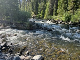
Confluence of the North and South Forks of the Yellowstone River
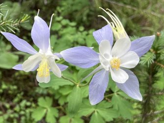
Colorado Blue Columbine
I rejoined Larry, and we waded across the North Fork, which is more of a large mountain creek than a river. Then next stretch of trail was difficult, with some steep climbs and more deadfall. We were still a good distance from rejoining the South Fork when we encountered another group of backpackers. They were breaking camp from a marginal site on a hill above a small stream. It was only the second group of backpackers we had seen on our trip, so we stopped to chat. They were a family from Texas, doing an amazing route. They had started from near the south entrance in Yellowstone National Park and worked their way East to the Thorofare. They were heading up into the headwaters of the Yellowstone River just like us. However, they planned to cross Marston Pass and descend Marston Creek to the South Fork of the Shoshone River. They were really covering some ground!
WELCOME TO PARADISE

Confluence of the North and South Forks of the Yellowstone River

Colorado Blue Columbine
I rejoined Larry, and we waded across the North Fork, which is more of a large mountain creek than a river. Then next stretch of trail was difficult, with some steep climbs and more deadfall. We were still a good distance from rejoining the South Fork when we encountered another group of backpackers. They were breaking camp from a marginal site on a hill above a small stream. It was only the second group of backpackers we had seen on our trip, so we stopped to chat. They were a family from Texas, doing an amazing route. They had started from near the south entrance in Yellowstone National Park and worked their way East to the Thorofare. They were heading up into the headwaters of the Yellowstone River just like us. However, they planned to cross Marston Pass and descend Marston Creek to the South Fork of the Shoshone River. They were really covering some ground!
WELCOME TO PARADISE
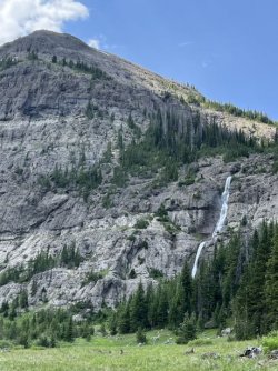
We resumed the hike and suffered through more rugged terrain and deadfall before reaching a junction at the lower end of a beautiful meadow. A fork of the trail continued upstream on either side of the river. We weren’t sure which trail was correct. The map showed the trail on River Right, but my guidebook described the route on the other side. We decided to cross, mainly because there was a huge waterfall cascading down the cliffs on the far side. That feature demanded a closer look. After an easy wade, we strolled through a beautiful grassy meadow. We had lunch on a big log and then walked up to the base of the waterfall. It’s probably 200’ tall, and although the stream isn’t named, it is on a substantial creek.
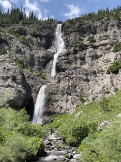
The trail faded away at our lunch spot. We could have continued through the meadow, but we decided to backtrack. It only took a few minutes to get back across the river to the junction. We followed the trail on the east side of the river, enjoying views of the cliffs and waterfall on the other side of the canyon. The meadow eventually ended, and we entered the forest. We climbed high above the river and passed a lovely waterfall. My guidebook describes this is the upper-most waterfall on the Yellowstone River, but that’s not quite true. There are several more drops farther upstream on the main river, and some huge waterfalls on tributaries.
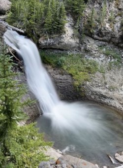
Uppermost* waterfall on the Yellowstone River
*not really
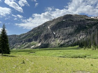
The path leveled out, and we waded the South Fork of the Yellowstone River. Then we began another climb in heavy forest. At the top, we emerged into another beautiful meadow. This one is more alpine in nature, with Younts Peak and Thorofare Mountain towering high above. My guidebook mentions terrible mosquitoes here, but we didn’t have any problems with them on a sunny afternoon.
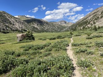
Meadow at tree line
The topo map suggests a waterfall on the river near here, so Larry took I break while I explored. Some easy off-trail hiking led to the rim of a canyon high above the river. The South Fork of the Yellowstone cascades through a rugged canyon far below. Going down for a closer view looked daunting, so I followed the rim of the canyon upstream. That approach provided more views of cascades and small waterfalls.
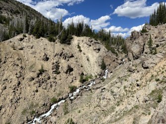
Uppermost canyon on the Yellowstone River
I rejoined Larry, and we continued upstream through a beautiful meadow. We passed several huge waterfalls on tributaries cascading down the northwest wall of the canyon. The final climb began, and we passed one last run of falls and cascades on the river. We enjoyed more views of Younts Peak and Thorofare Mountain as we steadily climbed 1,000’ towards the Continental Divide.
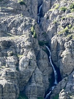
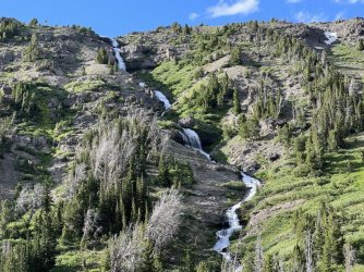
Tributary waterfalls
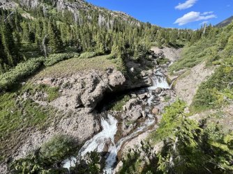
Waterfall on the Yellowstone River
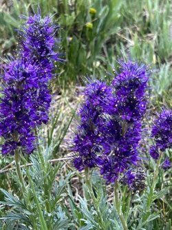
Silky Phacelia
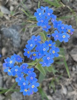
Forget-me-nots
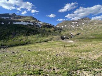
Younts Peak and Thorofare Mountain
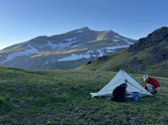
I wanted to camp along this stretch of trail, but I only saw one marginal spot before the divide. I should have left the trail and hiked northeast towards an alpine tarn, but I was pretty far ahead of Larry, and I wanted to find a spot without waiting for him. Eventually I spotted a grassy shoulder near a smaller tarn right on the Continental Divide. I dropped my pack there and went back to find Larry. He was running out of gas, but he got a second wind when I told him that I’d found a spot. It was a fantastic alpine campsite with a great view of Younts Peak. The tarn provided a good water source, and we had a view of a distant waterfall. We set up camp and enjoyed a lovely sunset before heading to the tents.

