chandlerwest
Member
- Joined
- Feb 7, 2015
- Messages
- 533
The World loves North Coyote Buttes/The Wave. This love has literally made visiting that area as likely as winning the lottery. I have been fortunate to experience it 3 times by rigging the system. I live only 90 miles from Kanab, drive to the visitor center, in the dark, on a Friday, in the winter, when they are giving out 3 days of permits (30) at once because the center is closed on the weekend. In all likelihood this method will no longer work in the future as they are tweaking the system.
In contrast, South Coyote Buttes is the homely sister of what the Kanab office has to offer. "Sorry, we still have a couple permits available for South Coyote. It's pretty too. Do you have 4WD?" As with North Coyote only 20 permits are issued a day. (Currently) Ten permits are available via an online calendar that goes out 4 months in advance. I believe it is first come first serve but even these seem to disappear before they are available. The other ten can be received at the Kanab Visitors Center as a walk-in. I have seen these available in the winter but have no clue how likely it is to obtain these at other times of the year. In short....getting to South Coyote Buttes is unlikely but possible. And this is just obtaining permits. You better have a vehicle that can handle SAND!!!
Then there is the Paw Hole section of South Coyote Buttes. Let's call it the homely half-sister of South Coyote Buttes. Most people want to go to Cottonwood Cove. I have been there and it is wonderful but I am not certain why this is more highly prized.......it just is! But if you have a Hyundai Sonata, Cottonwood Cove might as well be the moon.
This photo trip report is all about the glory of Paw Hole. I can park my Hyundai at tranquil Lone Tree Reservoir (it was a big puddle on Friday) just off House Rock Road and walk the 2.5 miles up to Paw Hole. After viewing @IntrepidXJ Wave report I went in to look at the permit calendar. The next four months were all gone, except for one lowly, lonely permit on April 22nd. I jumped on it.
Two years ago I went to Paw Hole with fairly limited information. A print screen from Google Earth. I spent most of the day along the ridgeline and east. From up there I could see interesting terrain below and to the west but there was a lousy barbed wire fence in the way. After exploring this high country most of the day I said "damn it all" and found a place to crawl under the fence. I got down there and seriously wondered if I had even been in the permit area all this day until now. What I had seen all day was exceptional but beyond the fence was very showy! So I filed it away for a future adventure, which I had last Friday.
I want to begin this report with shots from that trip in 2014 because I found that experience equally wondrous and unique.
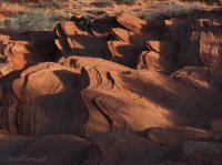
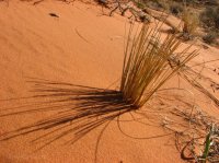
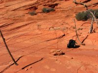
You better be prepared for sand if you go to Paw Hole. You will be trudging in it ALL DAY.
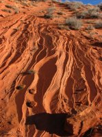
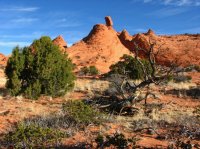
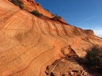
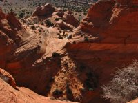
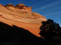
This is a view of the land "beyond the fence".
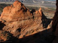
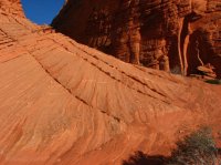
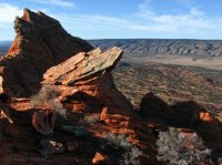
I would love to understand geology.
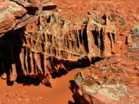
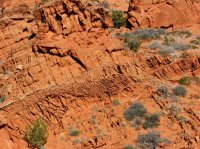
Tell me that doesn't look like a skeleton of some prehistoric beast.
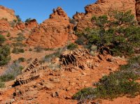
Looking towards Cottonwood Cove-South Coyote Buttes
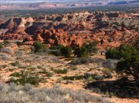
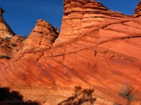
A totally messed up wall.
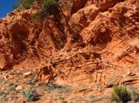
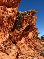
The Teepee which are east of The Wave-North Coyote Buttes.
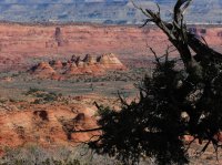
Southern tip of North Coyote
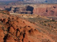
Painted desert north of Paw Hole
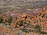
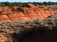
Looking south into the area "below the fence" that I explore on 04/22/16
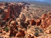
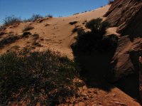
The barbed wire fence I crawled under. Why is it here? Is the permit area west of it? Is the permit area east of it? Why is it going down the middle of the permit area? I have come to believe it was put up a century ago when they ran cattle up here and just have not pulled it out.
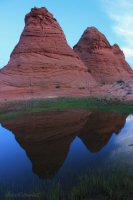
Jump ahead to Friday April 22nd, 2016. This pond is named "Paw Hole"
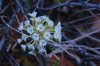
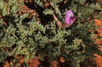
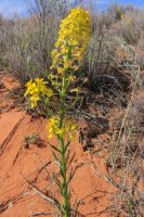
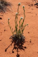
Snowball sand-verbena
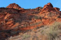
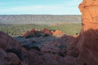
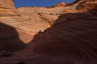
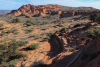
On the ridgeline. This shot encompasses the remainder of my day. I follow the ridge then drop down to explore yonder fantasyland. I eventually get to the dark notch you can see in the tallest hill way yonder. Then I walk the base of the cliffs back to the sand road.
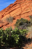
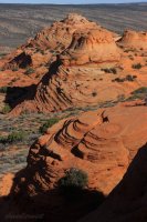
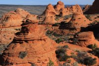
Now I drop down into the crux of the journey.
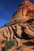
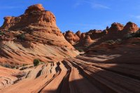
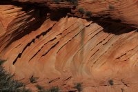
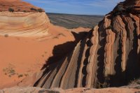
I had to trudge of the dune to get to that wall. I was easily buried up to my knees it was so loose.
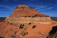
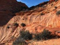
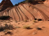
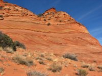
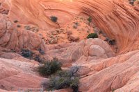
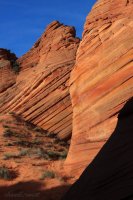
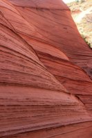
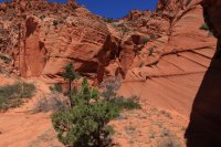
How can rock go so many different ways in such a small space?
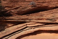
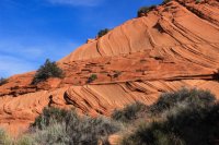
I was stuck in the sand.....so I might as well take a picture.
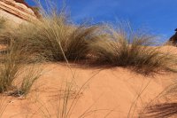
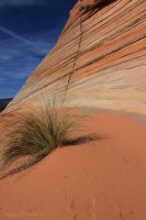
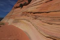
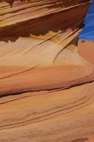
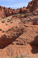
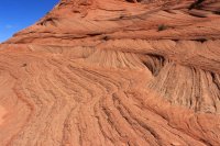
A lot of movement in this rock.
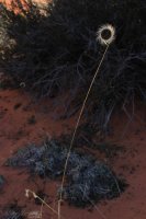
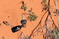
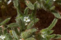
This has to be the smallest flower.....ever. I took a shot in RAW so I could try to blow it up.
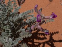
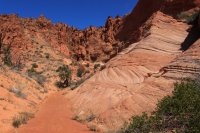
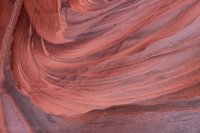
This wall was in dark shadow so I opened up the camera and this is what it saw!
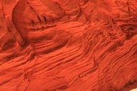
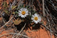
The desert was covered with this ground cover.
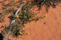
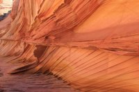
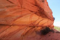
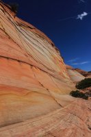
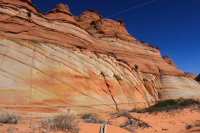
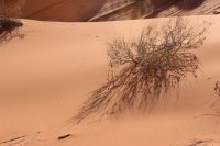
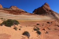
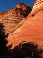
The florescent quality of the rock!!!!!!!
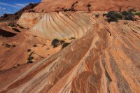
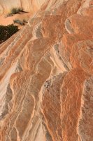
Now to start the trip south along the base of the cliffs.
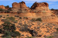
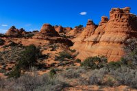
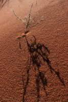
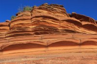
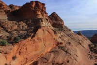
I was excited looking down into the sand cove because I knew I would find my way into it!
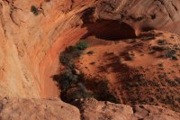
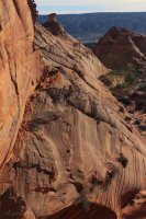
Looking to the north where I had been earlier.
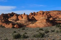
In the cove
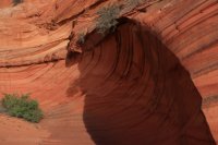
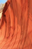
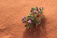
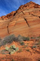
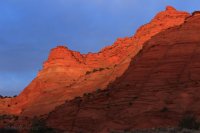
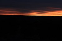
It had clouded up to the west so my dreams for sunset were questionable. BUT there was that slim line of clearer sky at the horizon so I sat and waited. Paw Hole - South Coyote Buttes simply exploded and I had a hectic 5 minutes of getting the photos.
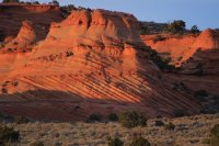
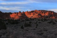
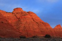
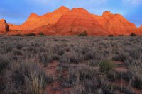
The show was over! Just had to find my way back to the sand road while I could still see. Then walk the 2.5 miles back to the car as it got darker and darker. I was a wonderful day!!!!
So this is Paw Hole. The homely half sister to Cottonwood Cove which is the homely sister of North Coyote Buttes. I think she holds up pretty well.
Words of warning. The jack rabbit population along House Rock Road in the dark is nuts. Be prepared to clip a few ears. Sand.....sand.....sand and even more sand.
I saw one person all day and they were just arriving at dusk and packing a tripod. I think they were going to get some full moon action.
In contrast, South Coyote Buttes is the homely sister of what the Kanab office has to offer. "Sorry, we still have a couple permits available for South Coyote. It's pretty too. Do you have 4WD?" As with North Coyote only 20 permits are issued a day. (Currently) Ten permits are available via an online calendar that goes out 4 months in advance. I believe it is first come first serve but even these seem to disappear before they are available. The other ten can be received at the Kanab Visitors Center as a walk-in. I have seen these available in the winter but have no clue how likely it is to obtain these at other times of the year. In short....getting to South Coyote Buttes is unlikely but possible. And this is just obtaining permits. You better have a vehicle that can handle SAND!!!
Then there is the Paw Hole section of South Coyote Buttes. Let's call it the homely half-sister of South Coyote Buttes. Most people want to go to Cottonwood Cove. I have been there and it is wonderful but I am not certain why this is more highly prized.......it just is! But if you have a Hyundai Sonata, Cottonwood Cove might as well be the moon.
This photo trip report is all about the glory of Paw Hole. I can park my Hyundai at tranquil Lone Tree Reservoir (it was a big puddle on Friday) just off House Rock Road and walk the 2.5 miles up to Paw Hole. After viewing @IntrepidXJ Wave report I went in to look at the permit calendar. The next four months were all gone, except for one lowly, lonely permit on April 22nd. I jumped on it.
Two years ago I went to Paw Hole with fairly limited information. A print screen from Google Earth. I spent most of the day along the ridgeline and east. From up there I could see interesting terrain below and to the west but there was a lousy barbed wire fence in the way. After exploring this high country most of the day I said "damn it all" and found a place to crawl under the fence. I got down there and seriously wondered if I had even been in the permit area all this day until now. What I had seen all day was exceptional but beyond the fence was very showy! So I filed it away for a future adventure, which I had last Friday.
I want to begin this report with shots from that trip in 2014 because I found that experience equally wondrous and unique.


You better be prepared for sand if you go to Paw Hole. You will be trudging in it ALL DAY.


This is a view of the land "beyond the fence".


I would love to understand geology.


Tell me that doesn't look like a skeleton of some prehistoric beast.

Looking towards Cottonwood Cove-South Coyote Buttes

A totally messed up wall.


The Teepee which are east of The Wave-North Coyote Buttes.

Southern tip of North Coyote

Painted desert north of Paw Hole

Looking south into the area "below the fence" that I explore on 04/22/16


The barbed wire fence I crawled under. Why is it here? Is the permit area west of it? Is the permit area east of it? Why is it going down the middle of the permit area? I have come to believe it was put up a century ago when they ran cattle up here and just have not pulled it out.


Jump ahead to Friday April 22nd, 2016. This pond is named "Paw Hole"

Snowball sand-verbena


On the ridgeline. This shot encompasses the remainder of my day. I follow the ridge then drop down to explore yonder fantasyland. I eventually get to the dark notch you can see in the tallest hill way yonder. Then I walk the base of the cliffs back to the sand road.


Now I drop down into the crux of the journey.


I had to trudge of the dune to get to that wall. I was easily buried up to my knees it was so loose.

How can rock go so many different ways in such a small space?


I was stuck in the sand.....so I might as well take a picture.


A lot of movement in this rock.

This has to be the smallest flower.....ever. I took a shot in RAW so I could try to blow it up.


This wall was in dark shadow so I opened up the camera and this is what it saw!


The desert was covered with this ground cover.


The florescent quality of the rock!!!!!!!


Now to start the trip south along the base of the cliffs.


I was excited looking down into the sand cove because I knew I would find my way into it!


Looking to the north where I had been earlier.

In the cove


It had clouded up to the west so my dreams for sunset were questionable. BUT there was that slim line of clearer sky at the horizon so I sat and waited. Paw Hole - South Coyote Buttes simply exploded and I had a hectic 5 minutes of getting the photos.


The show was over! Just had to find my way back to the sand road while I could still see. Then walk the 2.5 miles back to the car as it got darker and darker. I was a wonderful day!!!!
So this is Paw Hole. The homely half sister to Cottonwood Cove which is the homely sister of North Coyote Buttes. I think she holds up pretty well.
Words of warning. The jack rabbit population along House Rock Road in the dark is nuts. Be prepared to clip a few ears. Sand.....sand.....sand and even more sand.
I saw one person all day and they were just arriving at dusk and packing a tripod. I think they were going to get some full moon action.

