You are using an out of date browser. It may not display this or other websites correctly.
You should upgrade or use an alternative browser.
You should upgrade or use an alternative browser.
Guess the spot
- Thread starter Backcountry Post
- Start date
Now looking at the map from your hint ...
Is this first in Sequoia NP, off of the High Sierra Trail with looking down the Middle Fork Kaweah River Area with the Castle Rock mountain Area in the distance? This would not be far from the Bearpaw Meadow Ranger Station.
Is this first in Sequoia NP, off of the High Sierra Trail with looking down the Middle Fork Kaweah River Area with the Castle Rock mountain Area in the distance? This would not be far from the Bearpaw Meadow Ranger Station.
marmot_boi
Rodent
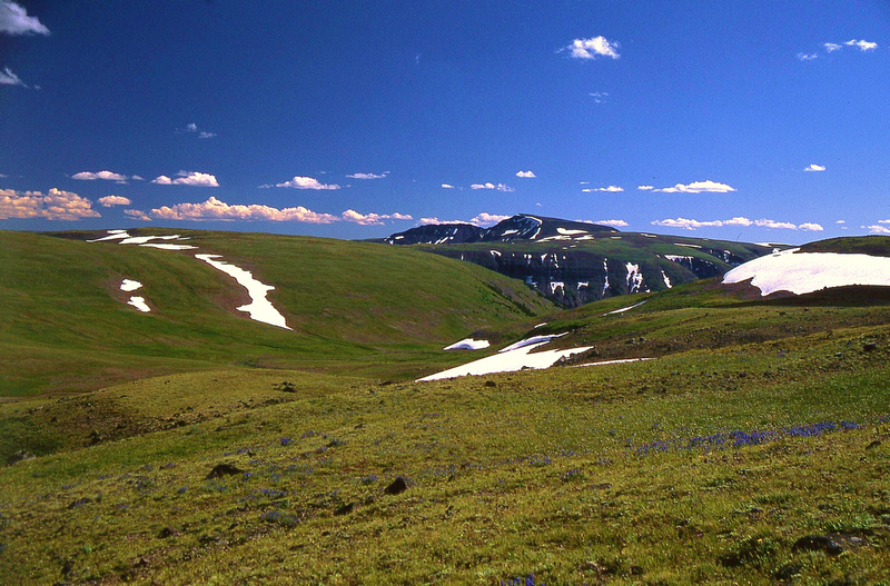
Crescent Mountain from the Buffalo Plateau?
marmot_boi
Rodent

RyanP
Member
View from Game Pass (or right below it), at top of upper cataract creek basin. Looking towards the corner peaks, I think.
marmot_boi
Rodent

mike_offerman
Member
Andrews Glacier, RMNP?
RyanP
Member
You're up!Andrews Glacier, RMNP?
mike_offerman
Member

mike_offerman
Member
Hint: East of Maine, West of Budapest.
mike_offerman
Member
I figured someone here would have hiked this trail and would recognize it! It is the highest point of 2 countries.
RyanP
Member
Mt Blanc? It doesn't look like the other photos I've seen of Mont Blanc, but I can't think of any other mountains that meet your descriptionI figured someone here would have hiked this trail and would recognize it! It is the highest point of 2 countries.
mike_offerman
Member
It is! This was taken when we did the Tour Du Mt Blanc in Sept. It is from the Southwest on the France/Italy border at Col de la Seigne.Mt Blanc? It doesn't look like the other photos I've seen of Mont Blanc, but I can't think of any other mountains that meet your description

marmot_boi
Rodent
Big Agnes Mountain?
RyanP
Member
Wow, that was quick. I'm making these too easy. Yup, it's the view toward the north (sawtooths) from near the summit of Big Agnes. You're up!Big Agnes Mountain?