- Joined
- Aug 9, 2007
- Messages
- 12,959
I had plans to head south and work on trail guides in the St. George area this past weekend, but when @slc_dan floated the idea of a spur of the moment backpacking trip, I was easily swayed. We chose a loop in a seldom-travelled area north of Glen Canyon. Our loop route would take us down a canyon I had previously ascended and then up a potentially spicy canyon that we knew very little about. The loop would then be tied together by a short mile walk down the highway. Thankfully, Dan was kind enough to run the shuttle by literally running back to the starting point before beginning the hike.
The hike kicked off winding through beautiful navajo narrows.
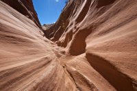
The combination of sandstone walls and granite boulders just never gets old.
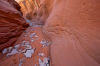
Mya patrolling in the navajo narrows.
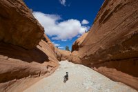
Soon the navajo gives way to wingate and the canyon widens.
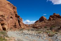
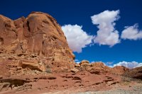
It was encouraging to see the cottonwoods budding so early in the hike.
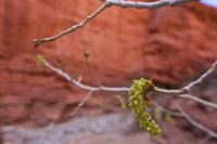
Soon the canyon drops dramatically as the wingate walls rise. We weren't into the wingate narrows yet but there was already a lot more water here than on my last visit. That could make for an interesting trip through the obstacles lower in the canyon.
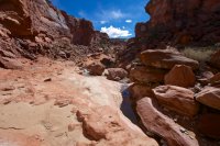
But fortunately, we were able to avoid it in this upper section.
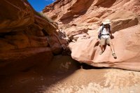
Soon the walls closed in and the light stopped us in our tracks.
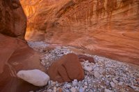
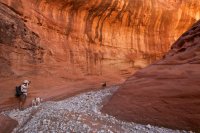
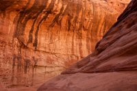
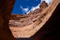
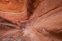
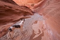
On my previous trip through here we had camped just up from this spring. At that time, it was waist deep and the only good water around with the exception of some seeps in the lower end. This time, we had to bypass it just to keep from going for a swim.
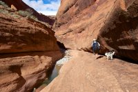
And it flowed long past where it stopped before.
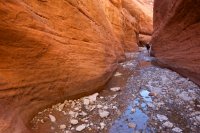
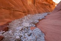
As we approached the crux of this canyon, I was preparing for the worst. It couldn't be as bad as it was going up. Back then it was me with @Ndheiner on my shoulders and still barely able to get over the biggest chokestone. This time that big obstacle was gone and in its place was this fun little boulder jam.
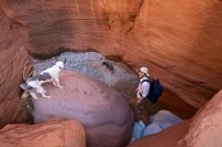
The last obstacle had not changed though. This well-polished granite boulder isn't quite as easy to get up as it is to get down, but in the current condition, I think I might actually be able to solo this canyon both ways. I couldn't say the same last time around.
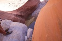
The last of the wingate narrows.
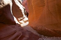
After the narrows, the canyon bottom begins to cut into the chinle layer. Water flowed here where it hadn't flowed before. Clean, fresh pools blocked the way at times.
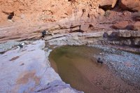
Dan took a ledge bypass for one pool and Sage followed her. When she realized I was not up there, she about jumped off the cliff to get back to me. Luckily she stopped long enough for Dan to climb down to the ledge and grab her by her backpack. I think she could have made this jump, but it might not have gone well. I really wish I had a photo of the fall Mya took further up the canyon. She ledged out on a sheer sandstone wall and fell at least 20 or more feet before popping right back onto her feet for a clean landing. Crazy dogs...
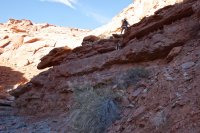
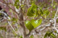
Hiking through the dry lower canyon. We were stoked to see buds on the trees above. But leaves on March 7th?! Sweet!!
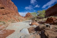
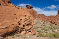
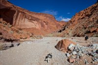
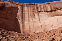
The lower canyon has a couple of nice seasonal springs that offer a convenient place to camp. We setup under the Squirrel Master for the night.
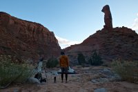
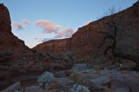
The next morning we were up and on our way. I had to take a departing shot of Meerkat Monument.
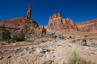
The stream pouring over a big chinle ledge.
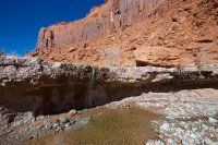
Interesting hoodoos near the end of the canyon.
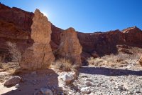
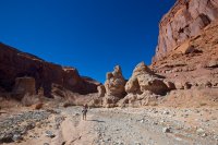
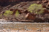
Soon we found ourselves leaving Swett and entering the land of Trachyte. The walking was good and the trees were green.
Sage putting down first tracks.
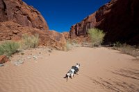
Into Woodruff...
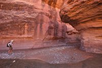
It didn't take long before we reached the first obstacle in the canyon. This pool was pretty much a swimmer. I'm 6'4" and I found some spots that were only chin deep on me. Dan opted to take the 4th class scramble on a ledge above to the right. I wasn't feeling so confident with packs and dogs so I decided to swim like 5 times through this and then climb up the waterfall on the other side (not as easy as it looks!). While the trees had tricked us into thinking it was spring, the water temperature did not.
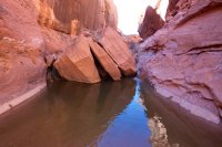
A little further up the canyon, we knew we would be encountering a spot that was impassable. Our beta indicated that we should return 100 yards back down canyon to a 4th class climb up the left side (LDC). We spotted the climb before reaching the obstacle, so we just went for it. In retrospect, we should have hiked up further as we missed seeing an incredible 30+ foot waterfall from below!
The climb to get up to the bypass was spicy. I would call it 4th class for those very confident and comfortable with climbing with exposure. For me personally, I don't know if I would do it without the handline, at least on the last move. The first 20 feet is an easy 3rd class scramble. Then there are two ledges that have tricky moves to get up. The first one is easier and then It's easy to pass dogs and packs up. The next and last one was just freaky though. Lots of exposure and you either have to get up an overhang or climb out onto a seriously exposed section that just gave me a bad feeling. Fortunately, Dan has much larger cojones than me so he got past that final, most difficult part of the climb and dropped the handline for me. When I got to the top, this is what I saw. Nice team anchor work, Dan and Sage!
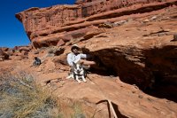
I totally forgot to get a good shot of the climb from the bottom of the canyon. I did get a crappy one half way up, but this shot from the top looking down shows it a bit.
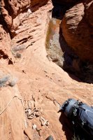
As we approached the waterfall, we could hear that we really should have gone up the canyon to it.
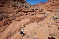
Dan has great faith in Vibram. That's a 25-30 foot drop right there.
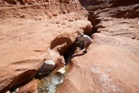
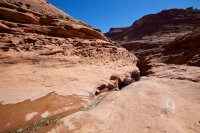
After that first bypass, we encountered many more sections of water-filled narrows. Some were deep, most could be bypassed with a little scrambling.
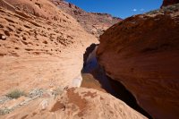
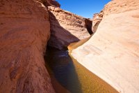
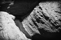
And more waterfalls pouring into slots. The ones further up are doable without ropes though.
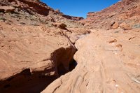
It was a little chilly out, but Dan still went for a lap through this one.
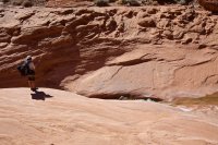
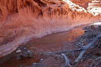
This one was in the shade and the cold wind was kicking up.
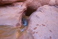
But Dan went for it! That slide was a good 10+ feet I'd bet. The pool was deep enough that he did not touch bottom. Big pixels added to protect the children!
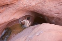
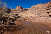
After passing through the water park, we setup camp at the lower edge of the riparian section of the canyon.
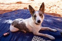
Sage and Mya had so much fun together on this trip. Here they are taking a nap amongst the cow crap in camp.
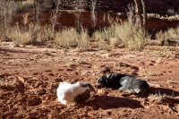
The third day we had a couple hours of hiking left to get back to the truck. The first stretch was through a dense riparian zone. The stream flowed strong throughout, with several nice waterfalls, but the lack of green up here meant my camera didn't come out much. We also finally met the local herd, which had done a fine job of cowing the place up.
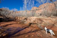
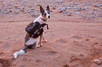
Okay, one more of Sage. I swear I tried to delete more photos from this report.
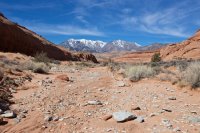
Beautiful mountain views as we approach the end of the hike.
Hooray for wilderness! Boooo cows.
Featured image for home page:
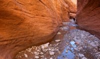
The hike kicked off winding through beautiful navajo narrows.

The combination of sandstone walls and granite boulders just never gets old.

Mya patrolling in the navajo narrows.

Soon the navajo gives way to wingate and the canyon widens.


It was encouraging to see the cottonwoods budding so early in the hike.

Soon the canyon drops dramatically as the wingate walls rise. We weren't into the wingate narrows yet but there was already a lot more water here than on my last visit. That could make for an interesting trip through the obstacles lower in the canyon.

But fortunately, we were able to avoid it in this upper section.

Soon the walls closed in and the light stopped us in our tracks.


On my previous trip through here we had camped just up from this spring. At that time, it was waist deep and the only good water around with the exception of some seeps in the lower end. This time, we had to bypass it just to keep from going for a swim.

And it flowed long past where it stopped before.


As we approached the crux of this canyon, I was preparing for the worst. It couldn't be as bad as it was going up. Back then it was me with @Ndheiner on my shoulders and still barely able to get over the biggest chokestone. This time that big obstacle was gone and in its place was this fun little boulder jam.

The last obstacle had not changed though. This well-polished granite boulder isn't quite as easy to get up as it is to get down, but in the current condition, I think I might actually be able to solo this canyon both ways. I couldn't say the same last time around.

The last of the wingate narrows.

After the narrows, the canyon bottom begins to cut into the chinle layer. Water flowed here where it hadn't flowed before. Clean, fresh pools blocked the way at times.

Dan took a ledge bypass for one pool and Sage followed her. When she realized I was not up there, she about jumped off the cliff to get back to me. Luckily she stopped long enough for Dan to climb down to the ledge and grab her by her backpack. I think she could have made this jump, but it might not have gone well. I really wish I had a photo of the fall Mya took further up the canyon. She ledged out on a sheer sandstone wall and fell at least 20 or more feet before popping right back onto her feet for a clean landing. Crazy dogs...

Hiking through the dry lower canyon. We were stoked to see buds on the trees above. But leaves on March 7th?! Sweet!!


The lower canyon has a couple of nice seasonal springs that offer a convenient place to camp. We setup under the Squirrel Master for the night.


The next morning we were up and on our way. I had to take a departing shot of Meerkat Monument.

The stream pouring over a big chinle ledge.

Interesting hoodoos near the end of the canyon.


Soon we found ourselves leaving Swett and entering the land of Trachyte. The walking was good and the trees were green.


Sage putting down first tracks.

Into Woodruff...

It didn't take long before we reached the first obstacle in the canyon. This pool was pretty much a swimmer. I'm 6'4" and I found some spots that were only chin deep on me. Dan opted to take the 4th class scramble on a ledge above to the right. I wasn't feeling so confident with packs and dogs so I decided to swim like 5 times through this and then climb up the waterfall on the other side (not as easy as it looks!). While the trees had tricked us into thinking it was spring, the water temperature did not.


A little further up the canyon, we knew we would be encountering a spot that was impassable. Our beta indicated that we should return 100 yards back down canyon to a 4th class climb up the left side (LDC). We spotted the climb before reaching the obstacle, so we just went for it. In retrospect, we should have hiked up further as we missed seeing an incredible 30+ foot waterfall from below!

The climb to get up to the bypass was spicy. I would call it 4th class for those very confident and comfortable with climbing with exposure. For me personally, I don't know if I would do it without the handline, at least on the last move. The first 20 feet is an easy 3rd class scramble. Then there are two ledges that have tricky moves to get up. The first one is easier and then It's easy to pass dogs and packs up. The next and last one was just freaky though. Lots of exposure and you either have to get up an overhang or climb out onto a seriously exposed section that just gave me a bad feeling. Fortunately, Dan has much larger cojones than me so he got past that final, most difficult part of the climb and dropped the handline for me. When I got to the top, this is what I saw. Nice team anchor work, Dan and Sage!

I totally forgot to get a good shot of the climb from the bottom of the canyon. I did get a crappy one half way up, but this shot from the top looking down shows it a bit.

As we approached the waterfall, we could hear that we really should have gone up the canyon to it.

Dan has great faith in Vibram. That's a 25-30 foot drop right there.


After that first bypass, we encountered many more sections of water-filled narrows. Some were deep, most could be bypassed with a little scrambling.


And more waterfalls pouring into slots. The ones further up are doable without ropes though.

It was a little chilly out, but Dan still went for a lap through this one.


This one was in the shade and the cold wind was kicking up.

But Dan went for it! That slide was a good 10+ feet I'd bet. The pool was deep enough that he did not touch bottom. Big pixels added to protect the children!


After passing through the water park, we setup camp at the lower edge of the riparian section of the canyon.

Sage and Mya had so much fun together on this trip. Here they are taking a nap amongst the cow crap in camp.

The third day we had a couple hours of hiking left to get back to the truck. The first stretch was through a dense riparian zone. The stream flowed strong throughout, with several nice waterfalls, but the lack of green up here meant my camera didn't come out much. We also finally met the local herd, which had done a fine job of cowing the place up.

Okay, one more of Sage. I swear I tried to delete more photos from this report.

Beautiful mountain views as we approach the end of the hike.

Hooray for wilderness! Boooo cows.
Featured image for home page:

