Antlerking
Member
- Joined
- Nov 28, 2012
- Messages
- 95
Here are a few pic’s from my July hike on the Wellsville Mountain’s – Cache Valley, Utah
http://en.wikipedia.org/wiki/Wellsville_Mountains:
"While only moderately tall, they are particularly narrow. For this reason, it is often claimed they are one of the steepest mountain ranges in North America.[3][4][5] Box Elder (9,372') and the Wellsville Cone (9,356') are its two highest peaks. U.S. 89/91 traverses Box Elder Canyon, Dry Canyon, and Wellsville Canyon, beginning east of Brigham Cityas a four-lane highway, curving north then northeast and entering the Cache Valley at Wellsville."
Cold Water Lake (Pond)
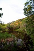
Maple Rise - Cache Valley
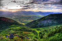
Looking up to the top Ridge
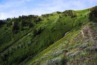
Panorama view from Stuarts pass - Looking at the Cone (Wellsville Cone)

Looking North into Idaho
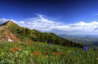
Looking northwest into Box Elder County
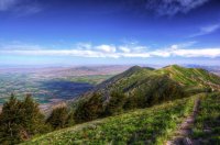
Looking South at the Cone
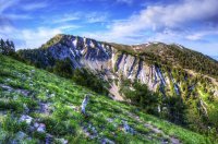
http://en.wikipedia.org/wiki/Wellsville_Mountains:
"While only moderately tall, they are particularly narrow. For this reason, it is often claimed they are one of the steepest mountain ranges in North America.[3][4][5] Box Elder (9,372') and the Wellsville Cone (9,356') are its two highest peaks. U.S. 89/91 traverses Box Elder Canyon, Dry Canyon, and Wellsville Canyon, beginning east of Brigham Cityas a four-lane highway, curving north then northeast and entering the Cache Valley at Wellsville."
Cold Water Lake (Pond)

Maple Rise - Cache Valley

Looking up to the top Ridge

Panorama view from Stuarts pass - Looking at the Cone (Wellsville Cone)

Looking North into Idaho

Looking northwest into Box Elder County

Looking South at the Cone

