- Joined
- May 31, 2015
- Messages
- 3,327
August 17-18, 2024
Sitting here with covid, I decided to mix up my sitting and laying around by writing up a report or two from the past season.
This route mostly followed the CDT as I understand it. It was just right for a weekend trip.
We started off the day by setting up our shuttle. My friend Kenny and I drove over and met my friend Andrew at our ending trailhead. Lots of parking, only two other vehicles there. I think the area gets a lot more use during hunting season. We left my car there and hopped in Andrew's. Then it was off to Storm Lake.
The road to Storm Lake is pretty rough. It starts out decent but gets very rocky and uneven the higher you go. I was a little nervous about getting our Outback up it the next day as we rode up. Decent number of people up there despite the rough road.
We got our gear situated and headed off. The beginning around the lake was beautiful. It was fairly warm, a touch smoky, not a cloud to be seen.
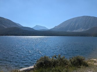
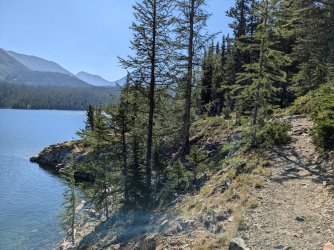
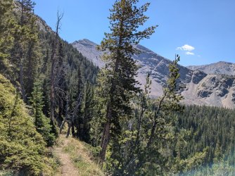
The trail made its way above a meadow that was above the lake. We climbed some switchbacks to our first pass of the three we would do that day.
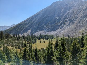
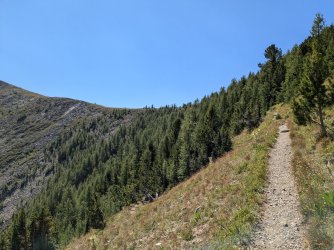
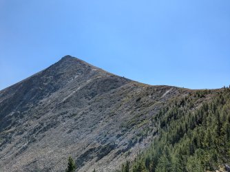
We took in the views once we were at the top.
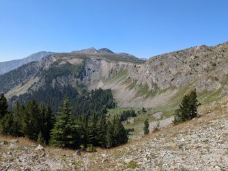
Looking toward where we're headed. Kind of hard to believe there's a trail through those rocks by looking at this one.
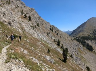
Along we go.
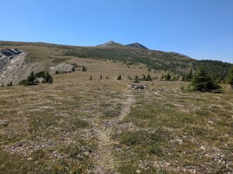
Entering Goat Flat. So this technically is our second pass, although it wasn't much elevation gained. The light smokiness seemed to have mostly cleared out by the time we got here.
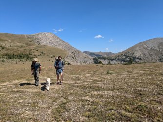
We passed by some CDT hikers having lunch, then we made our way back into the larches for the next leg. It was only last year I realized how many larches there are in the Pintlers.
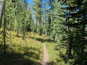
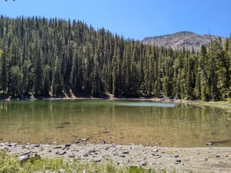
The first of the two small lakes we'd see. We had lunch on the shore and filtered some water. It was nice to rest in the shade since we couldn't count on any clouds to help. There was a single tent at the lake. We met its occupants just a little farther down the trail; a father and young son with their dog, out for a day hike from camp.
It wasn't too long until we came to the next lake. This one was a little higher up and was very shallow. It's smaller on the map, but I swear it was bigger than the first. Would have been a nice spot to camp, but we had more miles to cover.
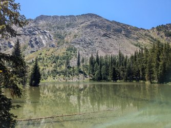
We made our way above the trees little by little, and we were soon ascending our last pass in earnest.
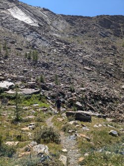
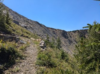
This one really took it out of us. Hot, dry, middle of the day. It was a lot of switchbacks at least.
We also heard an elk around here. We looked all around but could not spot it.
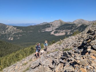
Nearing the top.
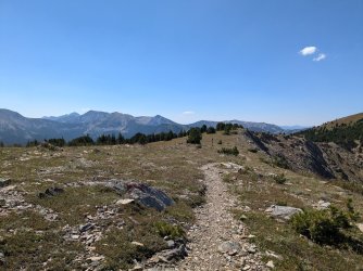
At the top.
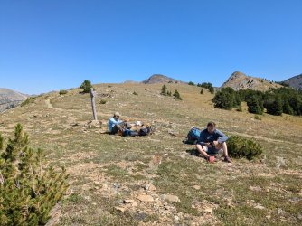
Break time. Snacking and looking at the map.
We spent a good thirty minutes or so resting and rehydrating. The views were awesome.
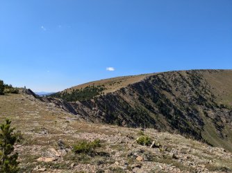
From there, we were onto the final leg; making our way back down and hopefully finding a decently flat place to camp, with somewhat accessible water. Camp would still be rather high up, just a bit below treeline. I had looked at the map and satellite imagery quite a bit beforehand and found what I thought would be a decent candidate, but you never know until you're there.
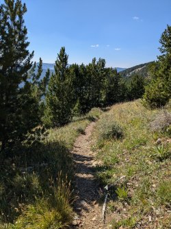
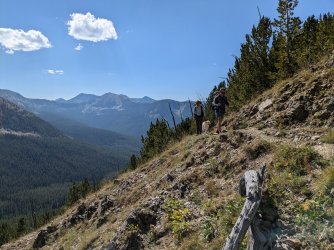
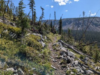
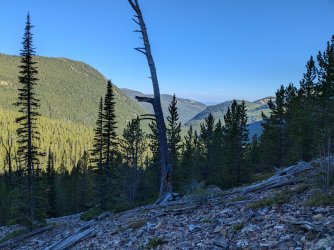
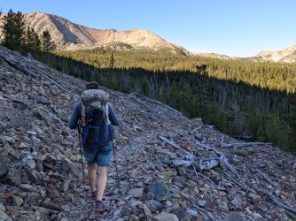
The trail contours around up high. Great views the whole way.
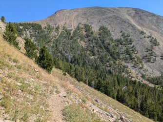
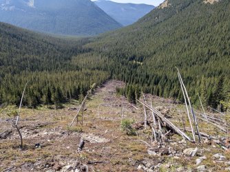
Big avalanche runout.
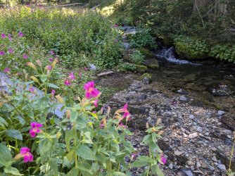
A very nice stream that I hoped would not be dry. Fantastic.
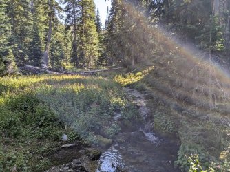
There was a new bridge through a marshy area near the stream. Beyond the stream, it was fairly apparent where the trail crew had set up camp back when they had been in the area, thanks to a light use trail. There was plenty of good flat space in the trees a bit farther up the hill, so we set up there. Only a few minutes to get to the water. Happy that that worked out.
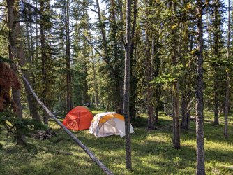
I guess we could've spaced the tents a little farther apart. Thankfully none of us snores.
We were surprised that there were some mosquitos up there. They weren't bad, but it was weird seeing them in the latter part of August after a weak winter and hot, dry summer. There were fire restrictions in place, so we ate dinner and sat out at our dining spot until it got dark. Hung the food and smelly things, then went to bed.
Another very clear day dawned. It was around 6-7 miles out that day, if I remember right.
We didn't see anyone until we were almost back to the trailhead. It was nice hiking in the shade and cool morning temperatures after the day before.
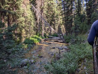
The very nice creek that the trail ends up following.
Once we got back, it was time to test my driving abilities getting back up to Storm Lake. The Outback did fine. The good tires on it plus my anxiously careful driving were a good combination.
We grabbed lunch at Smelter City Brewing once we finished, and the quesadilla from the food truck there really hit the spot.
The Pintlers rock!
Sitting here with covid, I decided to mix up my sitting and laying around by writing up a report or two from the past season.
This route mostly followed the CDT as I understand it. It was just right for a weekend trip.
We started off the day by setting up our shuttle. My friend Kenny and I drove over and met my friend Andrew at our ending trailhead. Lots of parking, only two other vehicles there. I think the area gets a lot more use during hunting season. We left my car there and hopped in Andrew's. Then it was off to Storm Lake.
The road to Storm Lake is pretty rough. It starts out decent but gets very rocky and uneven the higher you go. I was a little nervous about getting our Outback up it the next day as we rode up. Decent number of people up there despite the rough road.
We got our gear situated and headed off. The beginning around the lake was beautiful. It was fairly warm, a touch smoky, not a cloud to be seen.


The trail made its way above a meadow that was above the lake. We climbed some switchbacks to our first pass of the three we would do that day.


We took in the views once we were at the top.

Looking toward where we're headed. Kind of hard to believe there's a trail through those rocks by looking at this one.

Along we go.

Entering Goat Flat. So this technically is our second pass, although it wasn't much elevation gained. The light smokiness seemed to have mostly cleared out by the time we got here.

We passed by some CDT hikers having lunch, then we made our way back into the larches for the next leg. It was only last year I realized how many larches there are in the Pintlers.


The first of the two small lakes we'd see. We had lunch on the shore and filtered some water. It was nice to rest in the shade since we couldn't count on any clouds to help. There was a single tent at the lake. We met its occupants just a little farther down the trail; a father and young son with their dog, out for a day hike from camp.
It wasn't too long until we came to the next lake. This one was a little higher up and was very shallow. It's smaller on the map, but I swear it was bigger than the first. Would have been a nice spot to camp, but we had more miles to cover.

We made our way above the trees little by little, and we were soon ascending our last pass in earnest.


This one really took it out of us. Hot, dry, middle of the day. It was a lot of switchbacks at least.
We also heard an elk around here. We looked all around but could not spot it.

Nearing the top.

At the top.

Break time. Snacking and looking at the map.
We spent a good thirty minutes or so resting and rehydrating. The views were awesome.

From there, we were onto the final leg; making our way back down and hopefully finding a decently flat place to camp, with somewhat accessible water. Camp would still be rather high up, just a bit below treeline. I had looked at the map and satellite imagery quite a bit beforehand and found what I thought would be a decent candidate, but you never know until you're there.


The trail contours around up high. Great views the whole way.


Big avalanche runout.

A very nice stream that I hoped would not be dry. Fantastic.

There was a new bridge through a marshy area near the stream. Beyond the stream, it was fairly apparent where the trail crew had set up camp back when they had been in the area, thanks to a light use trail. There was plenty of good flat space in the trees a bit farther up the hill, so we set up there. Only a few minutes to get to the water. Happy that that worked out.

I guess we could've spaced the tents a little farther apart. Thankfully none of us snores.
We were surprised that there were some mosquitos up there. They weren't bad, but it was weird seeing them in the latter part of August after a weak winter and hot, dry summer. There were fire restrictions in place, so we ate dinner and sat out at our dining spot until it got dark. Hung the food and smelly things, then went to bed.
Another very clear day dawned. It was around 6-7 miles out that day, if I remember right.
We didn't see anyone until we were almost back to the trailhead. It was nice hiking in the shade and cool morning temperatures after the day before.


The very nice creek that the trail ends up following.
Once we got back, it was time to test my driving abilities getting back up to Storm Lake. The Outback did fine. The good tires on it plus my anxiously careful driving were a good combination.
We grabbed lunch at Smelter City Brewing once we finished, and the quesadilla from the food truck there really hit the spot.
The Pintlers rock!
Last edited:

