SteveR
Member
- Joined
- Sep 22, 2016
- Messages
- 1,010
Close to two years ago in late August, Waterton NP was swept by the out of control Kenow Wildfire that devastated the much of the park that we had come to know and love over many annual camping and hiking trips. We felt lucky to have been there only a few weeks earlier! At the end of July this year, we felt compelled to return for a look at the aftermath and recovery. Most of the hiking trails were still either partly closed, or relatively inaccessible due to closed roads. One thing about the closed roads though, is that they make for some great traffic free cycling.
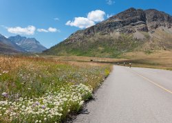
Where the mountains meet the prairies on the road to Red Rock Canyon. One thing that makes Waterton special is the dramatic change from grasslands to mountains with very little in the way of foothills.
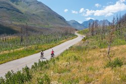
Other than the headwinds, it was a perfect day.
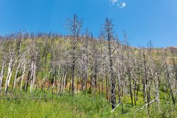
Ghostly aspens and charred conifers.
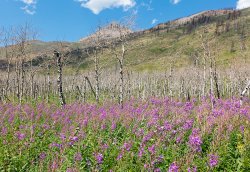
Fireweed living up to it's name.
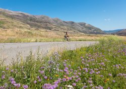
The grasslands have recovered nicely, but the grey forests higher up bear witness.
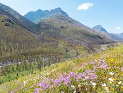
Stunning wildflower displays just west of the burnt out Crandell campground.
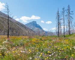
Beauty amidst the devastation....
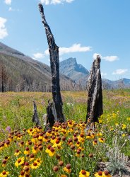
....
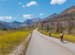
Promise of unscathed forest showing below the red slopes of Avion Ridge in the distance.
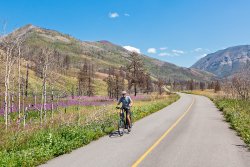
Yes, that's an e-bike. At 80'ish years young-our friends John and Betty have earned it after a lifetime of self supported cycle touring.
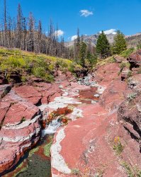
A nearly deserted Red Rock Canyon. Strange to see it without the tourist hordes.
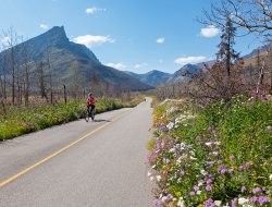
Remember that headwind? Well, it made for a fast cruise back, especially when combine with the gentle downhill grade to much of the road. We are almost hoping that the road remains closed next summer for the height of the Waterton wildflower season at valley bottom, which we overshot by a couple of weeks.
After a peaceful night at the untouched Belly River campground, we hiked to Bertha Lake for the second instalment of this quickly hatched two day trip which was squeezed between two longer camping excursions.
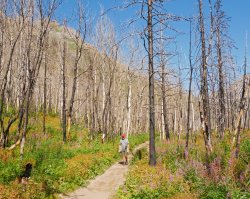
As expected with limited options at Waterton, the 13 km round trip to Bertha Lake was very busy. Somehow I managed some shots with only my 3 companions in them.
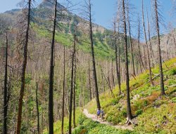
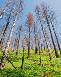
Contrast between life and death.
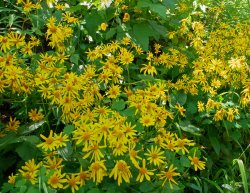
Arnica doing just fine.
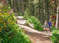
Jo and Betty higher up towards Bertha Lake, where switchbacks alternate between burnt and live forest. I took this while standing right at the transition.
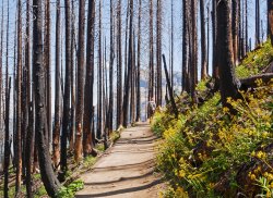
Back into the burn.
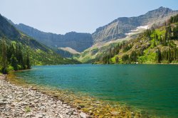
Arriving at lakeshore to find things much as they were.
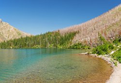
But it was close!
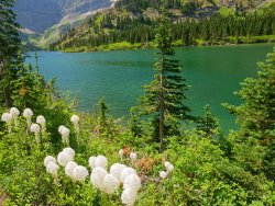
Most of the beargrass was done for the season, but a few stands were still prime.
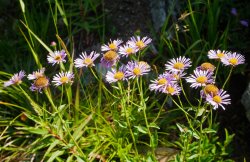
Fleabane.
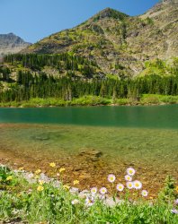
Lazy flower pic, taken while sitting on a lakeside boulder eating lunch.
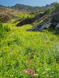
Lakeside flower glades. After wandering along the shoreline trail for a bit, we headed back down only to encounter even more people still heading up in the afternoon heat.
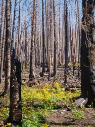
Wildflowers leading the way in nature's recovery.
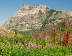
Vimy Peak.
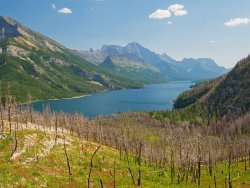
Waterton Lake stretching into Glacier NP, Montana.
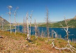
Ghost forest above Waterton townsite, with the prairies beyond. Despite the sadness at seeing the scarred landscape, it was a great two days, especially so after seeing the resilience of nature. We'll be back next summer.

Where the mountains meet the prairies on the road to Red Rock Canyon. One thing that makes Waterton special is the dramatic change from grasslands to mountains with very little in the way of foothills.

Other than the headwinds, it was a perfect day.

Ghostly aspens and charred conifers.

Fireweed living up to it's name.

The grasslands have recovered nicely, but the grey forests higher up bear witness.

Stunning wildflower displays just west of the burnt out Crandell campground.

Beauty amidst the devastation....

....

Promise of unscathed forest showing below the red slopes of Avion Ridge in the distance.

Yes, that's an e-bike. At 80'ish years young-our friends John and Betty have earned it after a lifetime of self supported cycle touring.

A nearly deserted Red Rock Canyon. Strange to see it without the tourist hordes.

Remember that headwind? Well, it made for a fast cruise back, especially when combine with the gentle downhill grade to much of the road. We are almost hoping that the road remains closed next summer for the height of the Waterton wildflower season at valley bottom, which we overshot by a couple of weeks.
After a peaceful night at the untouched Belly River campground, we hiked to Bertha Lake for the second instalment of this quickly hatched two day trip which was squeezed between two longer camping excursions.

As expected with limited options at Waterton, the 13 km round trip to Bertha Lake was very busy. Somehow I managed some shots with only my 3 companions in them.


Contrast between life and death.

Arnica doing just fine.

Jo and Betty higher up towards Bertha Lake, where switchbacks alternate between burnt and live forest. I took this while standing right at the transition.

Back into the burn.

Arriving at lakeshore to find things much as they were.

But it was close!

Most of the beargrass was done for the season, but a few stands were still prime.

Fleabane.

Lazy flower pic, taken while sitting on a lakeside boulder eating lunch.

Lakeside flower glades. After wandering along the shoreline trail for a bit, we headed back down only to encounter even more people still heading up in the afternoon heat.

Wildflowers leading the way in nature's recovery.

Vimy Peak.

Waterton Lake stretching into Glacier NP, Montana.

Ghost forest above Waterton townsite, with the prairies beyond. Despite the sadness at seeing the scarred landscape, it was a great two days, especially so after seeing the resilience of nature. We'll be back next summer.
