- Joined
- Dec 23, 2013
- Messages
- 4,675
Having Veterans' Day off, I decided to attempt a 17 mile loop hike from my house. I began by walking over to Dry Canyon, then headed up Mount Van Cott. Once on Van Cott, I headed northeast across the Van Cott ridgeline. At the end of the ridge, I dropped down to a small saddle before heading up to the top of the Black Mountain Ridge. From there, I made my way along the ridge which include a nice scramble section before dropping down to another saddle and picking up the trail that heads down into upper City Creek Canyon. After descending into the canyon, I stopped and had lunch at the upper Rotary Park before continuing on down the road to the construction site of the new water treatment plant. At that point, I had to do some bushwhacking through scrub oak to get up on the grassy hillside north of the treatment plant and make my way along the hillsides before dropping back down to find the City Creek Canyon Trail. Once I managed to find the trail, I took it all the way to the mouth of the canyon and then headed home to complete the loop. It took me 11 hours and 23 minutes to complete.
Due to construction of the treatment plant, you are not supposed to be in City Creek Canyon on the road during the week. If caught, you can be fined. The trails in City Creek however are open for hiking, running and depending on the trail biking. No E-bikes!!!!!!!!!!!!!
And no @TractorDoc, this was not an easy 17 miles.
Here are some shots of my day:
Review Image:
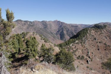
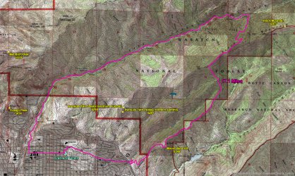
Overview map
Left home at 5:45 am.
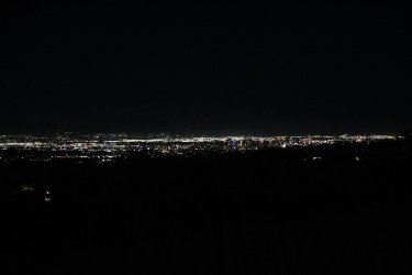
Lights of the city as I walked along 11th Avenue towards Dry Canyon
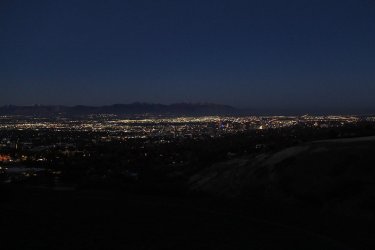
Beginning to lighten up a bit as I begin the climb up Mount Van Cott
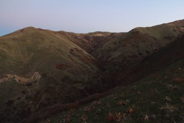
Dry Canyon below
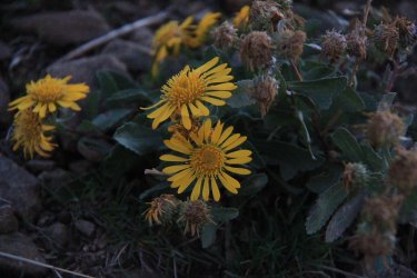
Some gumweed still blooming on the way up
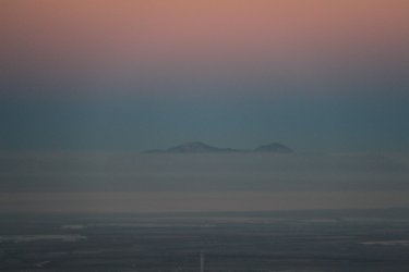
This time of year means hazy days in the Salt Lake Valley. This shot is of the high points of Stansbury Island to the west, sitting
above the early morning haze.
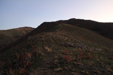
Looking up at the summit of Mount Van Cott
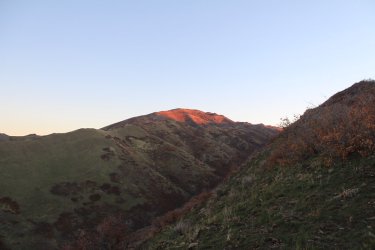
Sunrise on Black Mountain
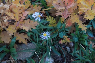
Some aster still in bloom
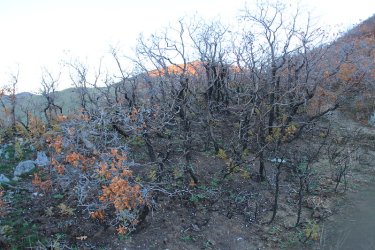
Burned scrub oak from the fire last summer
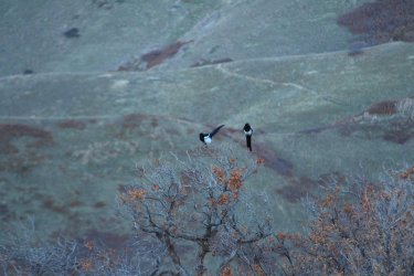
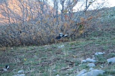
A mischief of magpies. I counted a total of 26. Not sure what they were up to - probably waiting to pick over the bones of Scatman.
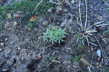
Lupine breaking through after the fire
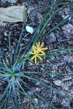
Not sure what this is, but I saw quite a bit of it.
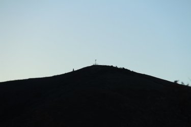
Airplane beacon silhouette on the summit of Mount Wire across Red Butte Canyon
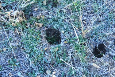
Elk have been on the ridge
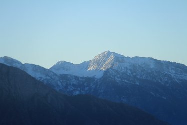
Sunrise on Lone Peak to the south
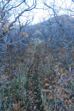
Starting across the ridgeline
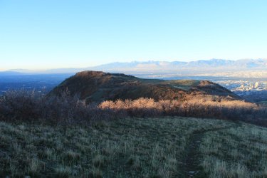
Looking back at the summit of Mount Van Cott
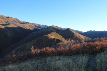
And looking forward along the Van Cott ridgeline
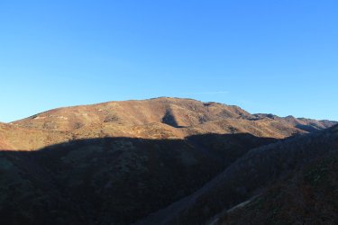
Black Mountain to the north
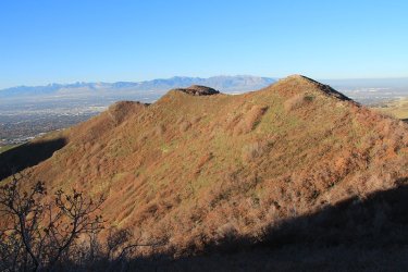
Looking back on what I've hiked across the ridgeline
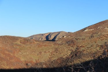
The Dude Benchmark. You'll see lots of "The Dude" in this report.
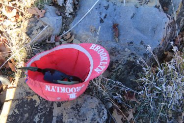
Time to throw on some sunscreen
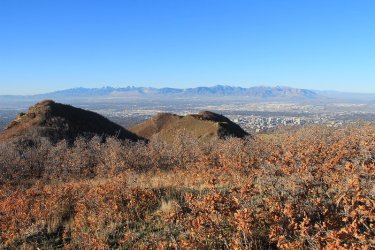
Another look back on where I have been
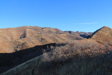
And the way forward.
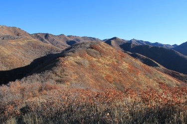
The last hill on the Van Cott ridgeline
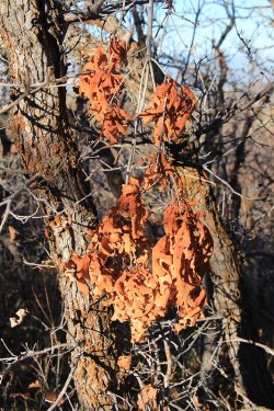
Just liked the color of these leaves
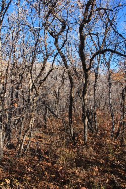
Heading through the scrub oak near the end of the ridgeline
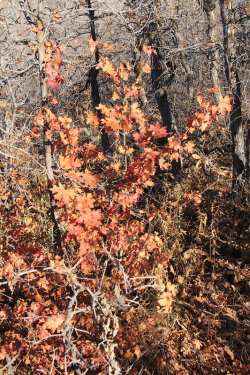
Some fall colors remain
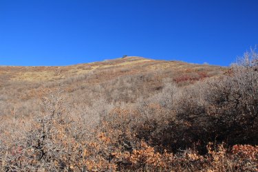
Heading to that lone mountain Mahogany up on the hill as I start my climb up to the top of Black Mountain Ridge
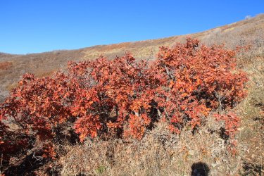
More colors on the way up
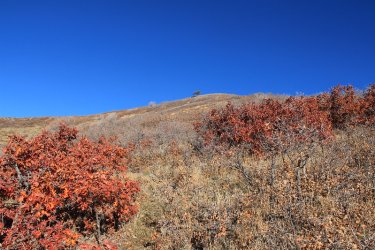
Damn! That tree still looks far away. I'm breathing pretty heavy at this point.
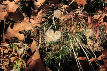
Something has gone to seed
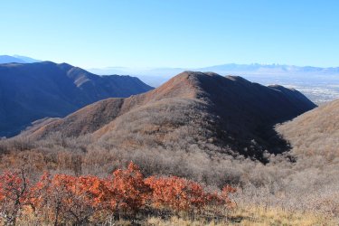
View back on the Van Cott ridgeline with Mount Wire off to the left.
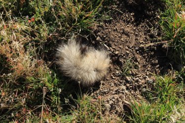
Not sure what this was, but it was very soft. Is it from a deer?
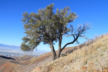
Arriving at the tree. Notice the box for a geocache.
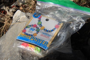
Found inside the geocache. Could look good on the Scatman.
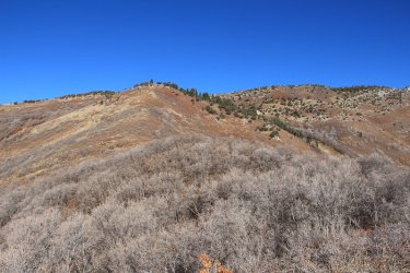
The way to the top of Black Mountain Ridge. This climb wore me out. Notice the scrub oak I'll have to go through to reach the
open slopes.
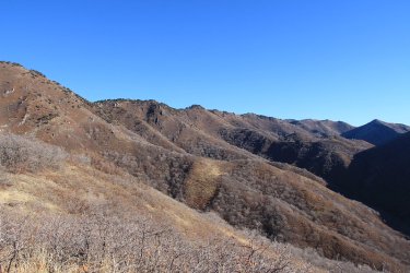
View along the Black Mountain ridgeline, heading northeast.
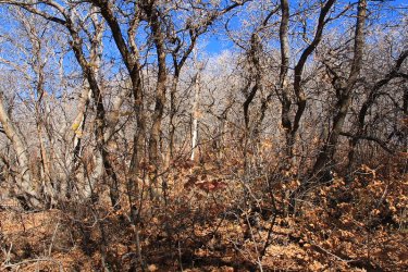
Nasty scrub oak to contend with
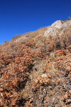
Steep going
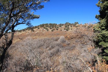
Almost to the top
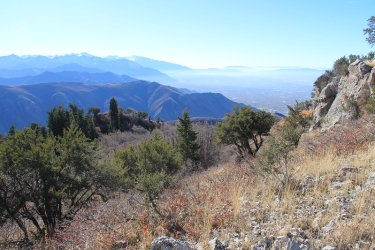
Looking south along the Wasatch Front with haze building up in the valley.
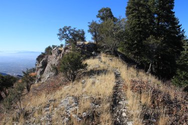
Made it to the top of the ridge.
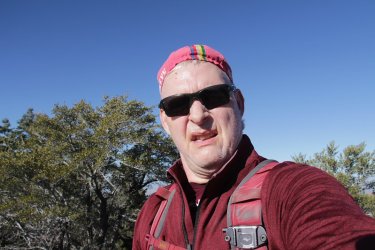
This is my worn out look.
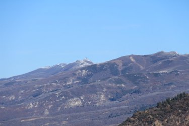
Francis Peak to the north
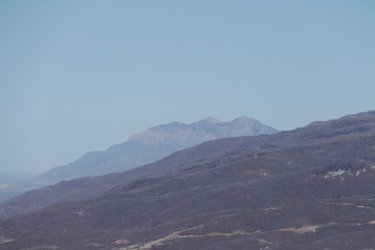
Mount Ogden to the north
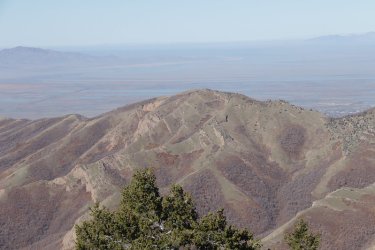
And looking down on the Dude Benchmark
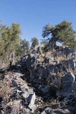
Time to head northeast along the ridge
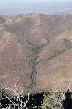
Looking over at the northern ridge of City Creek Canyon. Up that tree covered drainage
is the way to Rudy's Flat which can be seen at the top of the ridge.
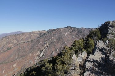
Burro Peak (elevation 8958) comes into view.
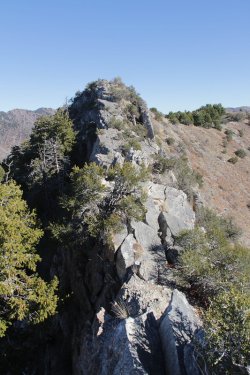
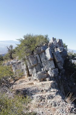
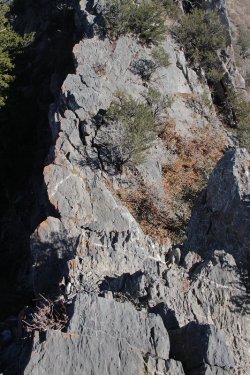
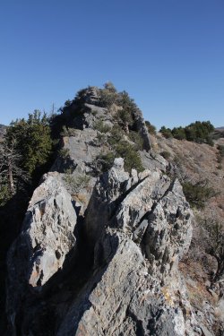
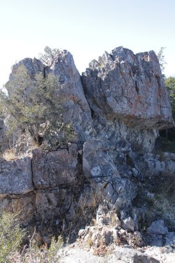
Images of the scramble section along the ridge. I struggled on parts of this due to my
knees not wanting to bend anymore. .
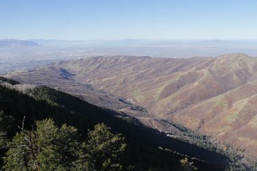
View down City Creek Canyon
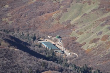
The new water treatment plant under construction. When I get to that point, I'll be heading through the scrub oak to the open
hillsides above the plant and making my way down canyon until I've reached a point above the trail that parallels the road. At that
point I'll drop down through the scrub oak to the trail and take it out of the canyon.
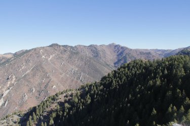
Grandview Peak comes into view
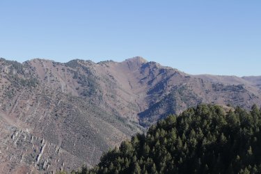
Grandview Peak (elevation 9410)
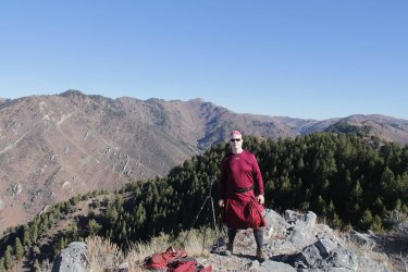
Set up my tripod to take my picture, but a gentleman showed up to take it instead.
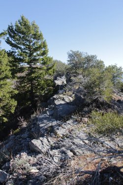
Back to hiking across the ridge
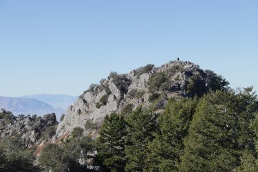
Looking back at one of the high points along the ridge. You can see the guy that took my picture up top.
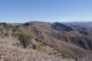
View to the northeast along the ridgeline with Lookout Peak (elevation 8954) in the distance.
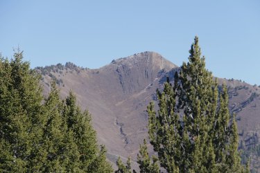
More Grandview, looking up Cottonwood Gulch
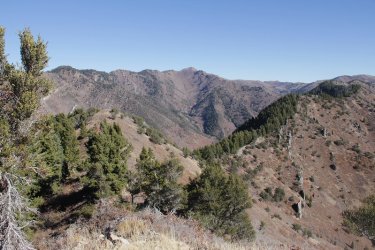
Approaching the point where I'll drop down to a saddle where the the trail down into City Creek Canyon is located
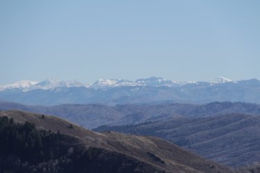
The Uintas to the east
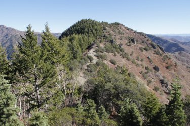
Dropping down to the saddle. This was a very steep descent on the trail.
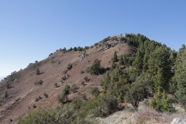
Looking back up at the Black Mountain ridgeline from the saddle.
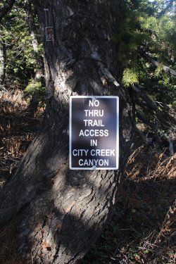
Good thing that I can't read @Rockskipper
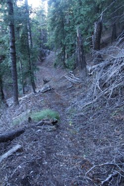
Typical of the trail dropping down into City Creek as it makes its way through old growth
forest.
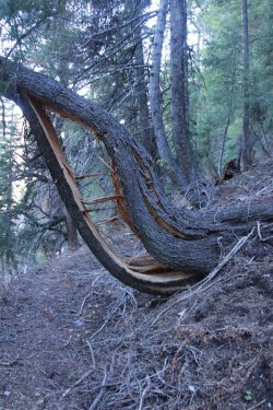
This is interesting
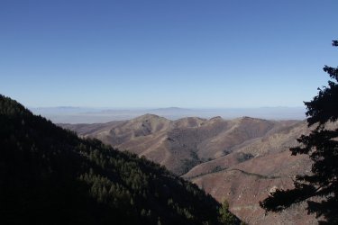
First good view down canyon
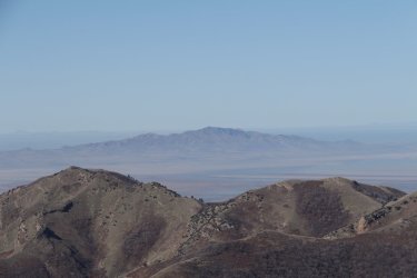
Frary Peak on Antelope Island in the distance. The Dude Benchmark in the foreground on the left.
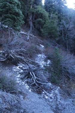
A little bit of snow for you @Bob. The trail all the way down was in the shade of the ridge
so it was a bit nippy.
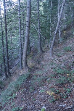
It's a long trail down to the bottom of the canyon
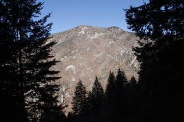
Looking up at Burro Peak through the trees on my descent
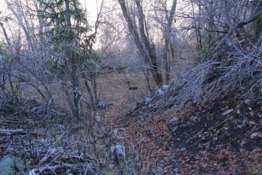
I can see the trail sign below.
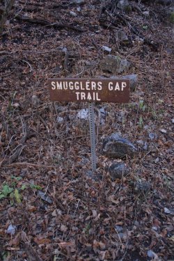
Smugglers Gap Trail
There's trouble on the street tonight
I can feel it in my bones
I had a premonition that he should not go alone
I knew the gun was loaded
But I didn't think he'd kill
Everything exploded, and the blood began to spill
So baby, here's your ticket
Put the suitcase in your hand
Here's a little money now
Do it just the way we planned
You be cool for 20 hours, and I'll pay you 20 grand
I'm sorry it went down like this, and someone had to lose
It's the nature of the business, it's the smuggler's blues
Smuggler's blues
The sailors and pilots, the soldiers and the law
The payoffs and the rip-offs, and the things nobody saw
No matter if it's heroin, cocaine or hash
You've got to carry weapons 'cause you always carry cash
There's lots of shady characters, lots of dirty deals
Every name's an alias in case somebody squeals
It's the lure of easy money, it's got a very strong appeal
Perhaps you'd understand it better standin' in my shoes
It's the ultimate enticement, it's the smuggler's blues
Smuggler's blues
You see it in the headlines, you hear it every day
They say they're gonna stop it, but it doesn't go away
They move it through City Creek, sell it in Salt Lake
They hide it up in Park City, I mean it's here to stay
It's propping up the governments in Colombia and Peru
You ask any D.E.A. man, he'll say, "There's nothin' we can do"
From the office of the president
Right down to me and you, me and you
It's a losing proposition, but one you can't refuse
It's the politics of contraband, it's the smuggler's blues
Smuggler's blues
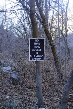
Did I mention that I can't read?
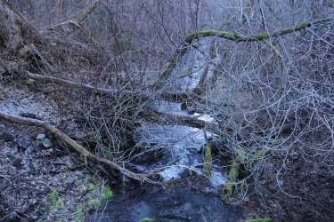
City Creek
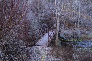
This bridge was extremely slick. I almost biffed it. Brought back memories of the North Fork Butte Creek. Don't mess with the
North Fork @b.stark !
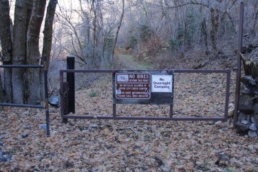
Passed the gate into the upper Rotary Park in City Creek
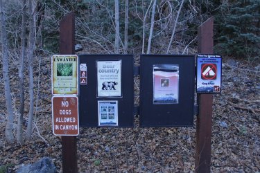
Apparently this is bear counrty
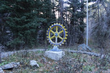
Rotary Park
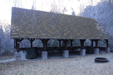
The pavilion at upper rotary. This is where I stopped to eat my lunch at 12:54 pm. My thermometer read 39 degrees.
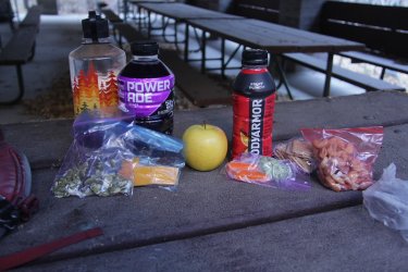
Scatman's lunch - pumpkin seeds, sharp cheddar, golden delicious apple, baby carrots and broccoli, some wheat thins and mixed
nuts. And some grape Powerade to wash it all down.
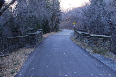
Time to walk the road down to the water treatment plant.
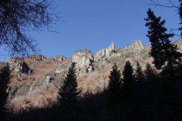
View of the northern ridgeline of City Creek Canyon
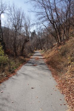
Finally some sunshine! I needed to be warmed up.
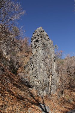
Nice rock along the road
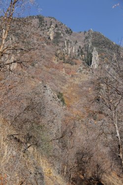
Another view up towards Burro Peak
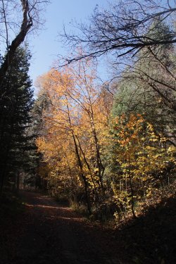
Some fall colors
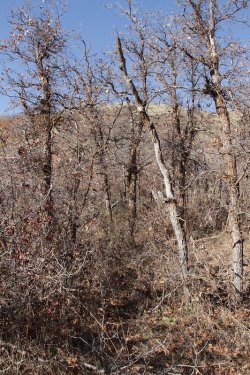
Beginning the bushwhack through the scrub
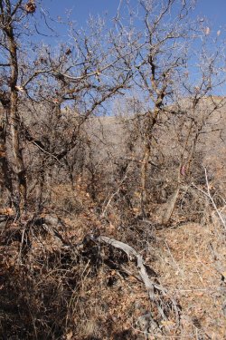
Aargh!
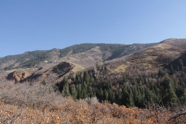
Black Mountain Ridge above
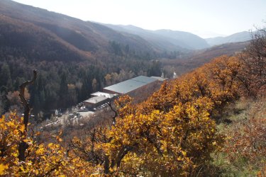
The under construction water treatment plant
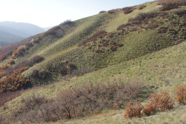
After clearing the scrub oak, it was sidestepping the hillsides for a ways.
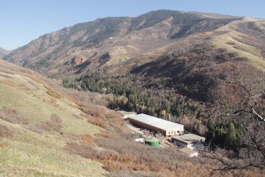
Another view (better sun angle) of the treatment plant and Black Mountain
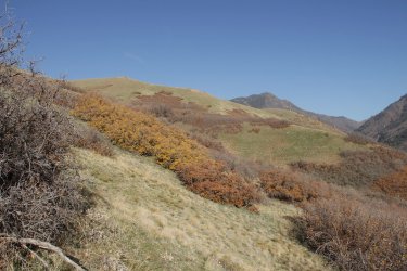
Still making my way along the hillsides with Burro Peak in the distance.
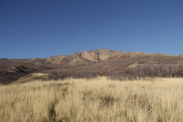
You guessed it, the Dude Benchmark again. At this point I thought I'd made my way far enough to head down and reach the
City Creek Trail, so I headed down.
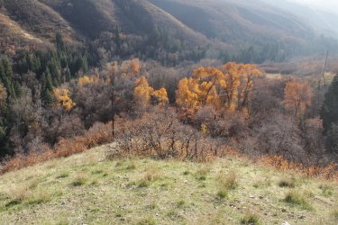
I hope that I've come far enough down canyon and that the trail is down there.
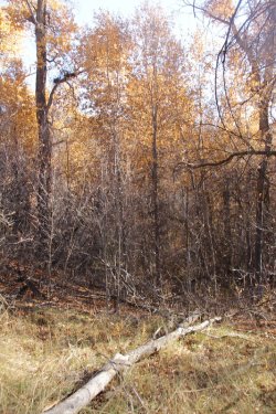
More nasty scrub oak to contend with.
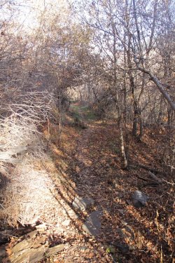
The trail! I've never been so glad to see a trail in all of my life. Bushwhacking through
the scrub and contouring along the hillsides wore me out. I definitely needed a nap.
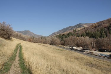
View back up canyon. There are a couple of construction staging areas before the water treatment plant when heading up canyon
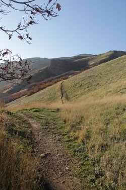
View down canyon
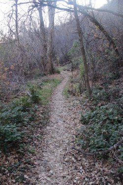
The City Creek Canyon Trail
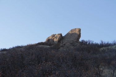
The shark fins
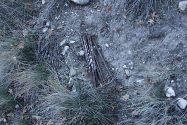
Saw this rebar on the side of the trail. Now if @TractorDoc had been with me, he would have put them in his pack and hauled them
out and done something constructive with them when he got home.
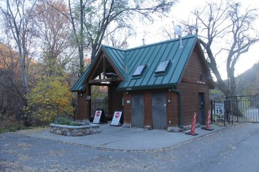
Arriving at the guard station near the mouth of the canyon.
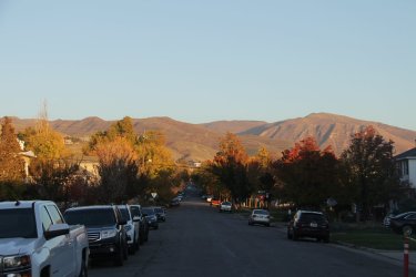
Heading east on 11th Avenue on my way home. Good shot of Mount Wire to the right, and Mount Van Cott and the Van Cott
ridgeline to the left where I was hiking about 11 hours ago.
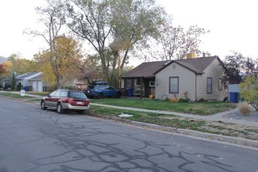
And the loop is completed! Time for bed.
PS - I can barely walk today.
The End.
Due to construction of the treatment plant, you are not supposed to be in City Creek Canyon on the road during the week. If caught, you can be fined. The trails in City Creek however are open for hiking, running and depending on the trail biking. No E-bikes!!!!!!!!!!!!!
And no @TractorDoc, this was not an easy 17 miles.
Here are some shots of my day:
Review Image:
Overview map
Left home at 5:45 am.
Lights of the city as I walked along 11th Avenue towards Dry Canyon
Beginning to lighten up a bit as I begin the climb up Mount Van Cott
Dry Canyon below
Some gumweed still blooming on the way up
This time of year means hazy days in the Salt Lake Valley. This shot is of the high points of Stansbury Island to the west, sitting
above the early morning haze.
Looking up at the summit of Mount Van Cott
Sunrise on Black Mountain
Some aster still in bloom
Burned scrub oak from the fire last summer
A mischief of magpies. I counted a total of 26. Not sure what they were up to - probably waiting to pick over the bones of Scatman.
Lupine breaking through after the fire
Not sure what this is, but I saw quite a bit of it.
Airplane beacon silhouette on the summit of Mount Wire across Red Butte Canyon
Elk have been on the ridge
Sunrise on Lone Peak to the south
Starting across the ridgeline
Looking back at the summit of Mount Van Cott
And looking forward along the Van Cott ridgeline
Black Mountain to the north
Looking back on what I've hiked across the ridgeline
The Dude Benchmark. You'll see lots of "The Dude" in this report.
Time to throw on some sunscreen
Another look back on where I have been
And the way forward.
The last hill on the Van Cott ridgeline
Just liked the color of these leaves
Heading through the scrub oak near the end of the ridgeline
Some fall colors remain
Heading to that lone mountain Mahogany up on the hill as I start my climb up to the top of Black Mountain Ridge
More colors on the way up
Damn! That tree still looks far away. I'm breathing pretty heavy at this point.
Something has gone to seed
View back on the Van Cott ridgeline with Mount Wire off to the left.
Not sure what this was, but it was very soft. Is it from a deer?
Arriving at the tree. Notice the box for a geocache.
Found inside the geocache. Could look good on the Scatman.
The way to the top of Black Mountain Ridge. This climb wore me out. Notice the scrub oak I'll have to go through to reach the
open slopes.
View along the Black Mountain ridgeline, heading northeast.
Nasty scrub oak to contend with
Steep going
Almost to the top
Looking south along the Wasatch Front with haze building up in the valley.
Made it to the top of the ridge.
This is my worn out look.
Francis Peak to the north
Mount Ogden to the north
And looking down on the Dude Benchmark
Time to head northeast along the ridge
Looking over at the northern ridge of City Creek Canyon. Up that tree covered drainage
is the way to Rudy's Flat which can be seen at the top of the ridge.
Burro Peak (elevation 8958) comes into view.
Images of the scramble section along the ridge. I struggled on parts of this due to my
knees not wanting to bend anymore. .
View down City Creek Canyon
The new water treatment plant under construction. When I get to that point, I'll be heading through the scrub oak to the open
hillsides above the plant and making my way down canyon until I've reached a point above the trail that parallels the road. At that
point I'll drop down through the scrub oak to the trail and take it out of the canyon.
Grandview Peak comes into view
Grandview Peak (elevation 9410)
Set up my tripod to take my picture, but a gentleman showed up to take it instead.
Back to hiking across the ridge
Looking back at one of the high points along the ridge. You can see the guy that took my picture up top.
View to the northeast along the ridgeline with Lookout Peak (elevation 8954) in the distance.
More Grandview, looking up Cottonwood Gulch
Approaching the point where I'll drop down to a saddle where the the trail down into City Creek Canyon is located
The Uintas to the east
Dropping down to the saddle. This was a very steep descent on the trail.
Looking back up at the Black Mountain ridgeline from the saddle.
Good thing that I can't read @Rockskipper
Typical of the trail dropping down into City Creek as it makes its way through old growth
forest.
This is interesting
First good view down canyon
Frary Peak on Antelope Island in the distance. The Dude Benchmark in the foreground on the left.
A little bit of snow for you @Bob. The trail all the way down was in the shade of the ridge
so it was a bit nippy.
It's a long trail down to the bottom of the canyon
Looking up at Burro Peak through the trees on my descent
I can see the trail sign below.
Smugglers Gap Trail
There's trouble on the street tonight
I can feel it in my bones
I had a premonition that he should not go alone
I knew the gun was loaded
But I didn't think he'd kill
Everything exploded, and the blood began to spill
So baby, here's your ticket
Put the suitcase in your hand
Here's a little money now
Do it just the way we planned
You be cool for 20 hours, and I'll pay you 20 grand
I'm sorry it went down like this, and someone had to lose
It's the nature of the business, it's the smuggler's blues
Smuggler's blues
The sailors and pilots, the soldiers and the law
The payoffs and the rip-offs, and the things nobody saw
No matter if it's heroin, cocaine or hash
You've got to carry weapons 'cause you always carry cash
There's lots of shady characters, lots of dirty deals
Every name's an alias in case somebody squeals
It's the lure of easy money, it's got a very strong appeal
Perhaps you'd understand it better standin' in my shoes
It's the ultimate enticement, it's the smuggler's blues
Smuggler's blues
You see it in the headlines, you hear it every day
They say they're gonna stop it, but it doesn't go away
They move it through City Creek, sell it in Salt Lake
They hide it up in Park City, I mean it's here to stay
It's propping up the governments in Colombia and Peru
You ask any D.E.A. man, he'll say, "There's nothin' we can do"
From the office of the president
Right down to me and you, me and you
It's a losing proposition, but one you can't refuse
It's the politics of contraband, it's the smuggler's blues
Smuggler's blues
Did I mention that I can't read?
City Creek
This bridge was extremely slick. I almost biffed it. Brought back memories of the North Fork Butte Creek. Don't mess with the
North Fork @b.stark !
Passed the gate into the upper Rotary Park in City Creek
Apparently this is bear counrty
Rotary Park
The pavilion at upper rotary. This is where I stopped to eat my lunch at 12:54 pm. My thermometer read 39 degrees.
Scatman's lunch - pumpkin seeds, sharp cheddar, golden delicious apple, baby carrots and broccoli, some wheat thins and mixed
nuts. And some grape Powerade to wash it all down.
Time to walk the road down to the water treatment plant.
View of the northern ridgeline of City Creek Canyon
Finally some sunshine! I needed to be warmed up.
Nice rock along the road
Another view up towards Burro Peak
Some fall colors
Beginning the bushwhack through the scrub
Aargh!
Black Mountain Ridge above
The under construction water treatment plant
After clearing the scrub oak, it was sidestepping the hillsides for a ways.
Another view (better sun angle) of the treatment plant and Black Mountain
Still making my way along the hillsides with Burro Peak in the distance.
You guessed it, the Dude Benchmark again.
At this point I thought I'd made my way far enough to head down and reach the City Creek Trail, so I headed down.
I hope that I've come far enough down canyon and that the trail is down there.
More nasty scrub oak to contend with.
The trail! I've never been so glad to see a trail in all of my life. Bushwhacking through
the scrub and contouring along the hillsides wore me out. I definitely needed a nap.
View back up canyon. There are a couple of construction staging areas before the water treatment plant when heading up canyon
View down canyon
The City Creek Canyon Trail
The shark fins
Saw this rebar on the side of the trail. Now if @TractorDoc had been with me, he would have put them in his pack and hauled them
out and done something constructive with them when he got home.
Arriving at the guard station near the mouth of the canyon.
Heading east on 11th Avenue on my way home. Good shot of Mount Wire to the right, and Mount Van Cott and the Van Cott
ridgeline to the left where I was hiking about 11 hours ago.
And the loop is completed! Time for bed.
PS - I can barely walk today.
The End.