Ben
Member
- Joined
- Sep 12, 2014
- Messages
- 1,873
Early september my brother and i did Kings Peak. Not knowing to do any thing else, we went from the south, at the swift creek trail head. We went out the Swift Creek trail, which crosses Bluebell Pass and reconnects with the Yellowstone Creek trail. From that junction we continued up to the Highline trail, and followed it to Anderson Pass and Kings Peak, and then came all the way back along the Yellowstone Creek trail. Like the opposite of a lolly loop, with the stick coming off from the far end of the hike. A loop with a day hike. I think it ended up being like 40 miles in about 50 hours.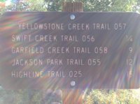
The Swift Creek trail ascends pretty quickly about 1000' before very slowly losing just a little elevation to run along Swift Creek.
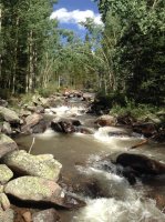
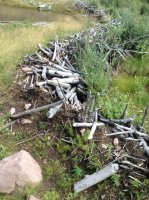
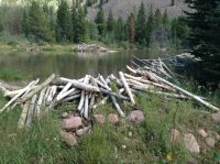
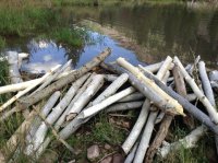
There was quite a lot of beaver sign along Swift Creek. Made the trail hard to follow in one place.
And i saw a greater variety of fungi on this hike than i think i have any where until i did the hike at Rainier. They were big too, as long as my foot.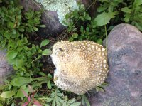
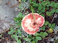
This one was the size of a giant loaf of bread.
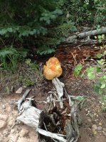
Tenuous Swift Creek crossing, we both managed to not get wet.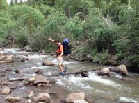
More mushrooms on the other side.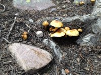
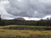
Pond full of lily pads. Near here the trail forks, one goes on to Timothy Lakes Basin, the other to Bluebell Pass. There were a few people on the trail up to this point, but after we turned toward the pass, i don't remember seeing any one till we got to the Highline the next day.
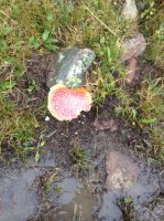
It rained very suddenly and some what seriously at this lake. We set up a tent as fast as i believe i ever have, and waited it out for may be half an hour. After that it let up a little, we packed back up and kept hiking with out issue.

I like this one best.
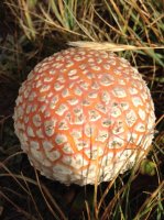
More big ones.
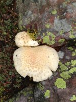
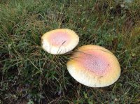
The view as we ascended Bluebell Pass. I think we counted at one point we could see seven lakes or ponds from the trail there. The trail passed right by the small ones closest in the foreground.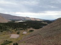
At the top of the pass.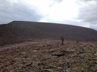
Looking onward.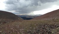
Crazy Dr Seuss trees.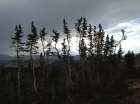
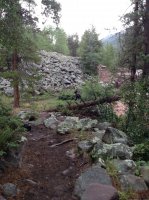
At the bottom of the pass. The trail between Timothy Lakes and the Highline here appears to see a lot less use than some areas of the Uintas. There were places where the trail dissipated until we were just following cairns.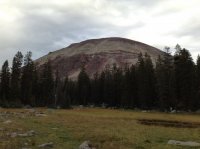
Like through this meadow. That took a bit of work.
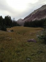
Spencer sitting as we search for trail.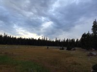
Shortly beyond here we made a trail side camp for the night.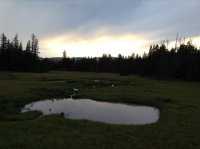
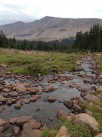
The next morning we met up with the Yellowstone Creek trail and headed up it toward the Highline. Along the way we crossed this much smaller creek flowing to Yellowstone.
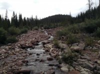
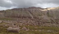
Some miles later we made it above Yellowstone Creek's tree line. Kings Peak is on the left, South Kings Peak appearing higher near center.
Both peaks again. In the high country now. You can see one of the cairns. Anderson Pass low on the left.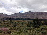
Here is the big cairn along the Highline.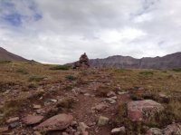
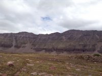
Ascending to the pass.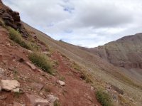
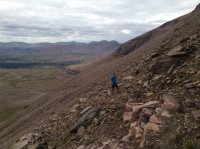
Looking out over the basin from near the pass, Yellowstone Creek in all those trees, Garfield Basin is the lakes beyond.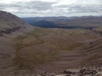
At Anderson Pass, just beyond the group of twenty some people sitting there. The ridge up to the Peak.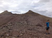
Looking over the pass.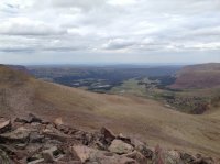
A view from the top. Nice place.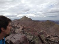
We got some one to take our picture back down at the pass again before we dropped back to the basin.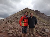
Looking back again.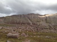
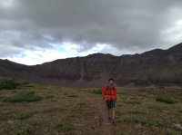
We returned to the Highline-Yellowstone Creek junction where we'd stashed our packs.

Sun going down the other direction the other direction. We were at the top about mid after noon. We went back down the Yellowstone Creek trail as far as we could that evening before camping again for the night.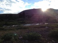
The next day was foggy, good that it was on the way out. Also good that we did our loop the way we did. Yellowstone Creek was much less scenic than Swift.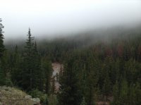
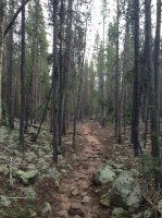
Here's the moose we came up on. It ran away.
And we made it back. Great time.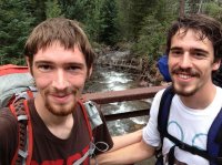
Featured image for home page:

The Swift Creek trail ascends pretty quickly about 1000' before very slowly losing just a little elevation to run along Swift Creek.

There was quite a lot of beaver sign along Swift Creek. Made the trail hard to follow in one place.


And i saw a greater variety of fungi on this hike than i think i have any where until i did the hike at Rainier. They were big too, as long as my foot.


This one was the size of a giant loaf of bread.

Tenuous Swift Creek crossing, we both managed to not get wet.

More mushrooms on the other side.

Pond full of lily pads. Near here the trail forks, one goes on to Timothy Lakes Basin, the other to Bluebell Pass. There were a few people on the trail up to this point, but after we turned toward the pass, i don't remember seeing any one till we got to the Highline the next day.


It rained very suddenly and some what seriously at this lake. We set up a tent as fast as i believe i ever have, and waited it out for may be half an hour. After that it let up a little, we packed back up and kept hiking with out issue.
I like this one best.

More big ones.


The view as we ascended Bluebell Pass. I think we counted at one point we could see seven lakes or ponds from the trail there. The trail passed right by the small ones closest in the foreground.

At the top of the pass.

Looking onward.

Crazy Dr Seuss trees.

At the bottom of the pass. The trail between Timothy Lakes and the Highline here appears to see a lot less use than some areas of the Uintas. There were places where the trail dissipated until we were just following cairns.

Like through this meadow. That took a bit of work.

Spencer sitting as we search for trail.

Shortly beyond here we made a trail side camp for the night.

The next morning we met up with the Yellowstone Creek trail and headed up it toward the Highline. Along the way we crossed this much smaller creek flowing to Yellowstone.

Some miles later we made it above Yellowstone Creek's tree line. Kings Peak is on the left, South Kings Peak appearing higher near center.

Both peaks again. In the high country now. You can see one of the cairns. Anderson Pass low on the left.

Here is the big cairn along the Highline.


Ascending to the pass.


Looking out over the basin from near the pass, Yellowstone Creek in all those trees, Garfield Basin is the lakes beyond.

At Anderson Pass, just beyond the group of twenty some people sitting there. The ridge up to the Peak.

Looking over the pass.

A view from the top. Nice place.

We got some one to take our picture back down at the pass again before we dropped back to the basin.

Looking back again.


We returned to the Highline-Yellowstone Creek junction where we'd stashed our packs.
Sun going down the other direction the other direction. We were at the top about mid after noon. We went back down the Yellowstone Creek trail as far as we could that evening before camping again for the night.

The next day was foggy, good that it was on the way out. Also good that we did our loop the way we did. Yellowstone Creek was much less scenic than Swift.


Here's the moose we came up on. It ran away.

And we made it back. Great time.

Featured image for home page:

Last edited:
