John Goering
Member
- Joined
- Sep 30, 2014
- Messages
- 502
As with other areas in the South Boulder River drainage, access is via the Cardwell exit on Interstate 90, and thence about 5 miles south on Montana Highway 359. County/FS Road 107 exits MT 359 at the South Boulder River bridge and proceeds past the old mining town of Mammoth and eventually terminates at the trail head for Sailor and Brannan Lakes, the last 3 to 4 miles of it being Jeep trail. Total length of Road 107 is something close to 30 miles. The Jeep trail here is a mild class 3. While I'm posting this in "Backpacking", it could also be at home in "Hiking & Camping" and even "Off Road". About equal parts of each.
All these lakes are within an approximately one square mile area at the upper reaches of the South Boulder River drainage. Short FS trails lead to Sailor and Brannan Lakes (7167) and Globe Lake (7170). Part of the attraction we have for this area is that we can have camp set up at Upper Brannan Lake within 4 hours of leaving the house, not to mention the fishing is really decent. While Sailor Lake, due to it's quarter mile hike from the trail head, sees a lot of use, the crowd really thins a mile farther up the drainage at Brannan Lakes. To date, we have never found anyone else camped there. While most of the photos in the following post are from the week after this past Labor day, I have borrowed a few from some prior trips.
At trailhead, end of Jeep trail.
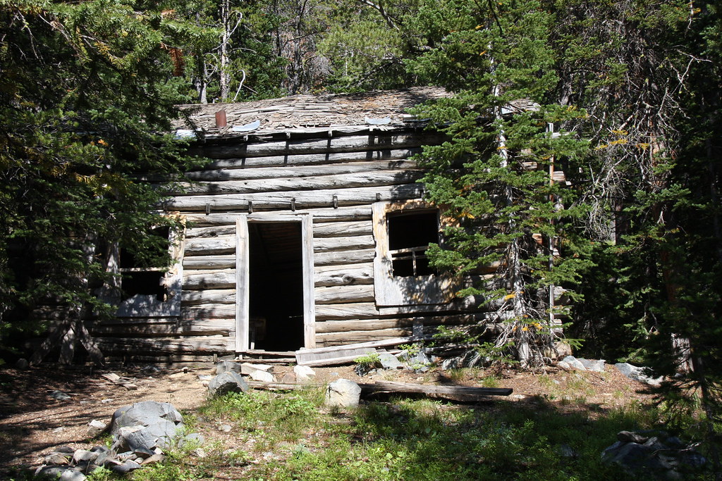
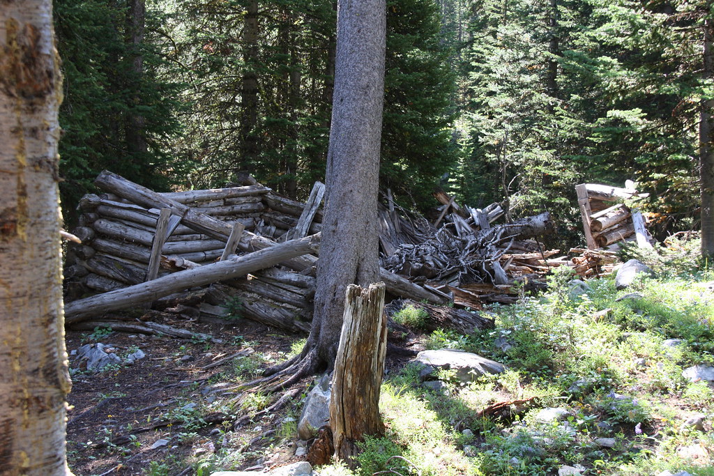
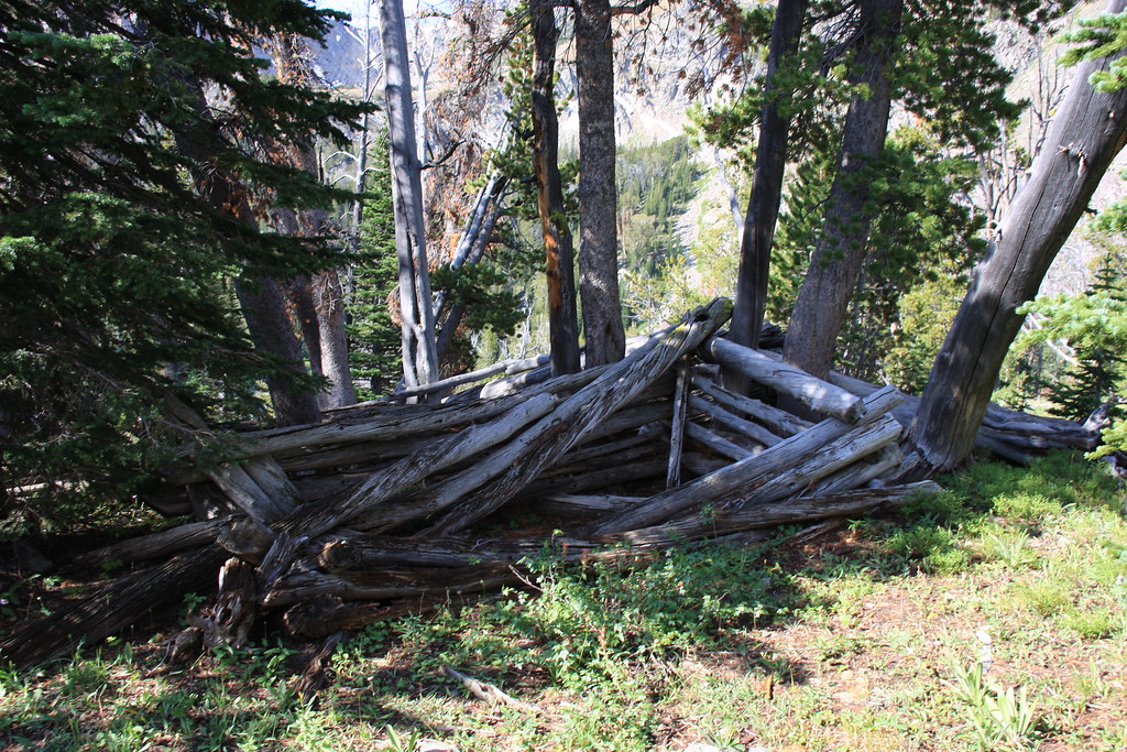
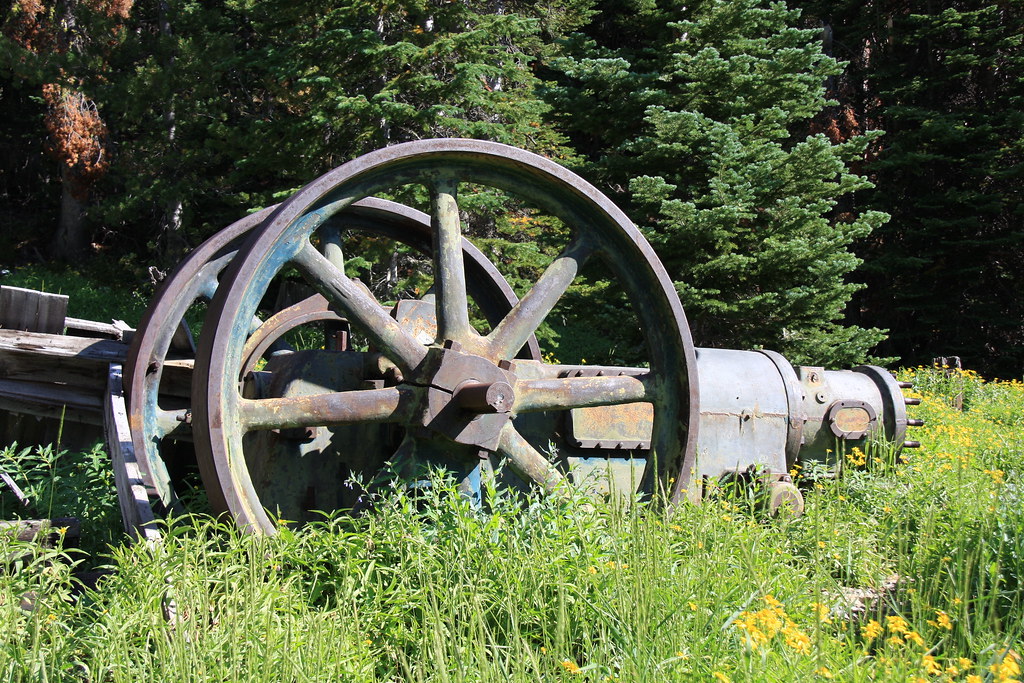
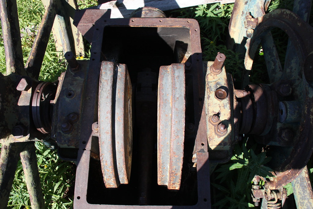
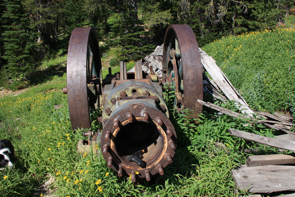
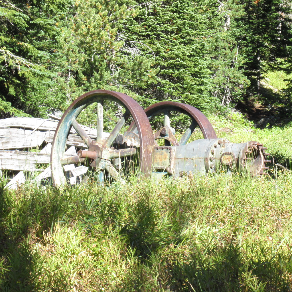
While there is a cabin, adit and the remains of this large compressor at the trail head, the Montana cadastral map shows no patented mining claim here.
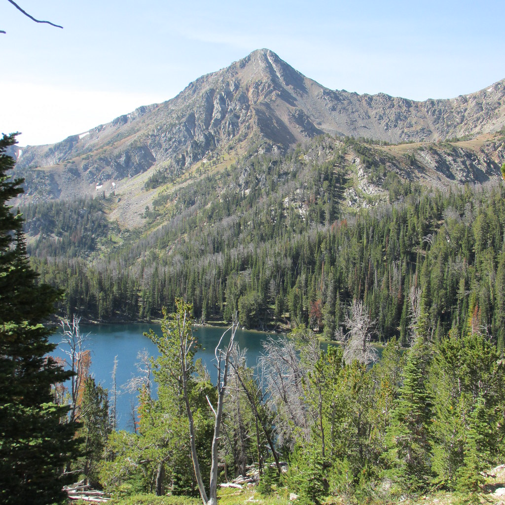
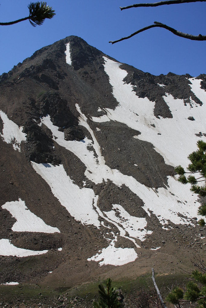
Mount Jackson/Sailor Lake.
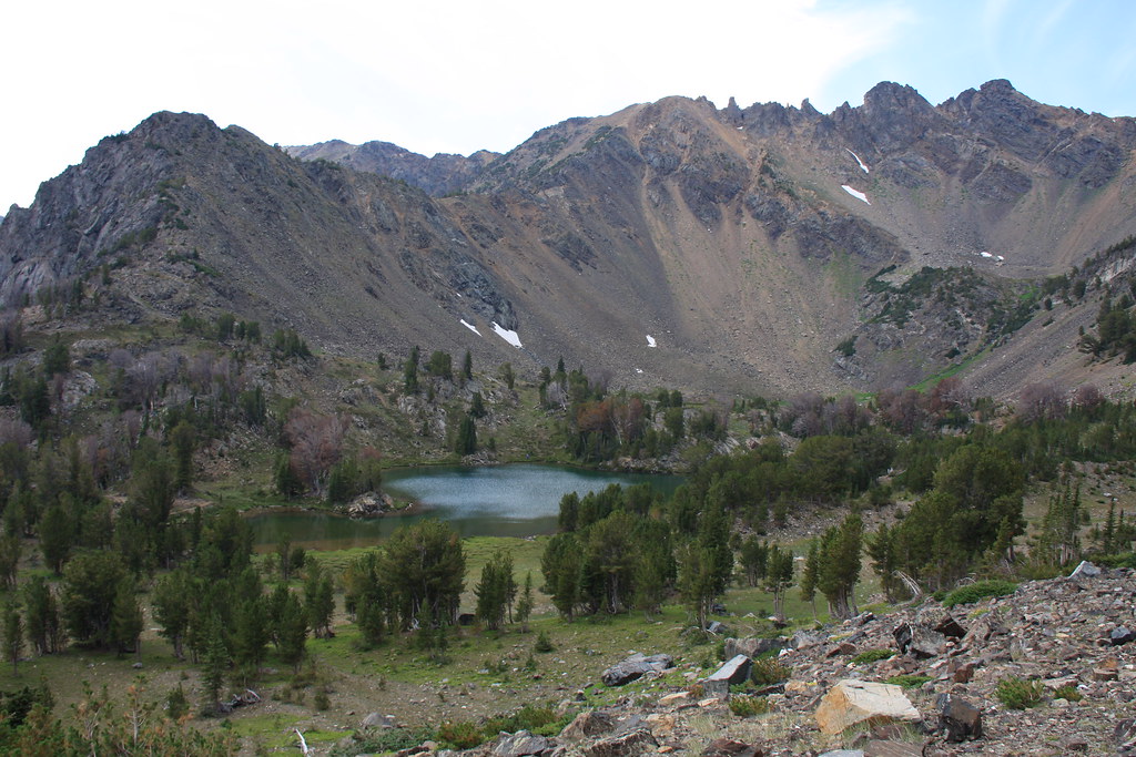
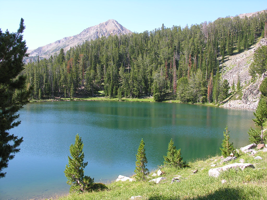
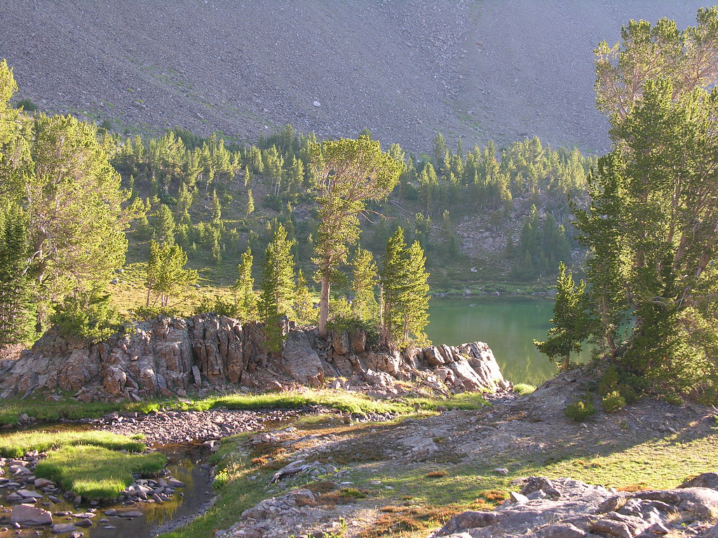
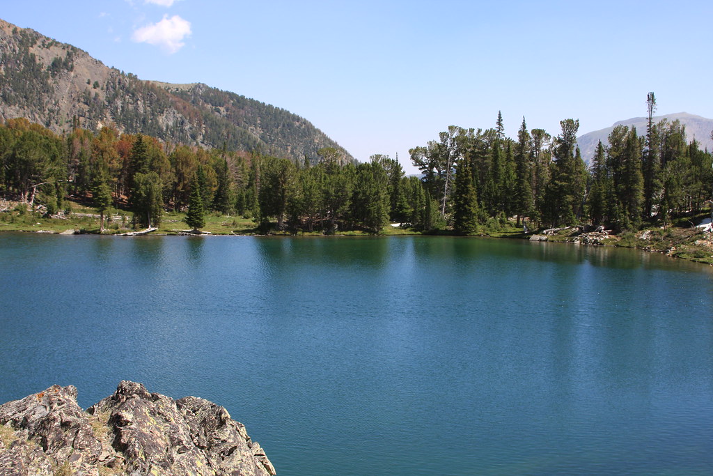
Globe Lake.
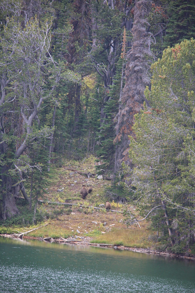
It was at Globe we ran into these critters at a way too close 150'. It raised the pulse rate for a bit before the sow finally decided to run.
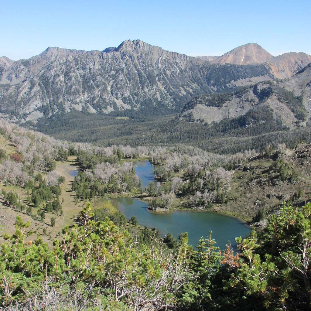
Upper Brannan Lake-and a lot of deceased whitebark pine.
The same scene from 7 years earlier.
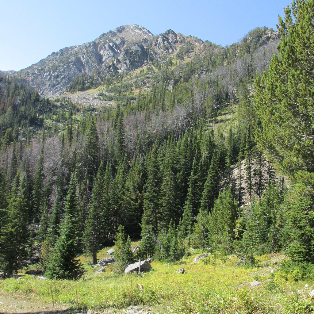
Brannan Lakes, Middle Mountain (center), Granite Peak (right).
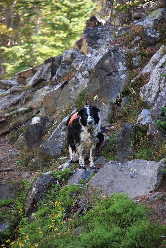
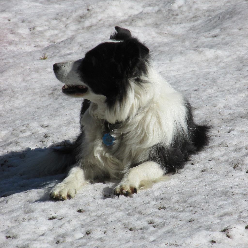
Token canine shot.
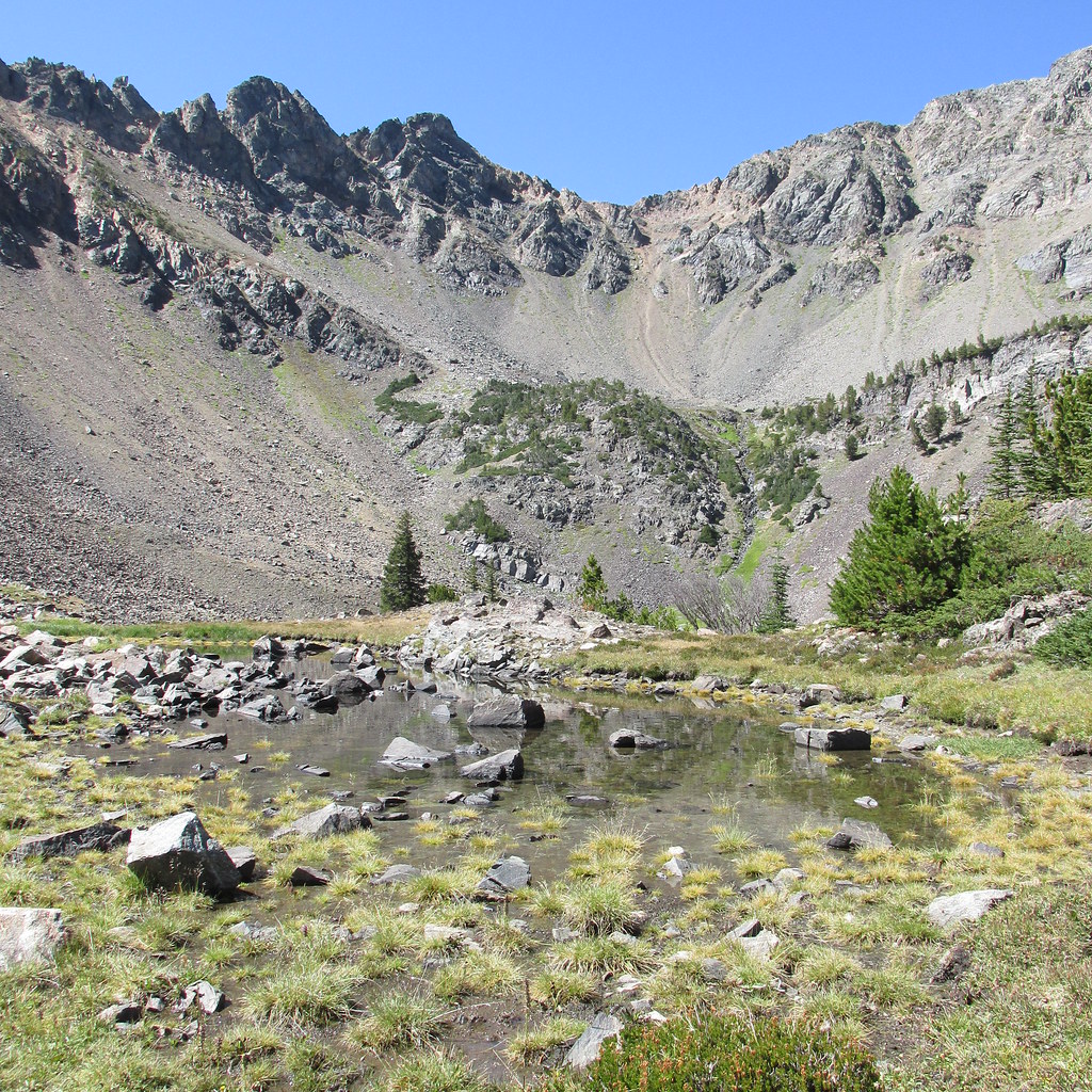
The Upper Brannan and the puddle above it, Hollowtop (left and highest peak in the Roots) and Mount Jefferson in background. Our tents are visible in this one.
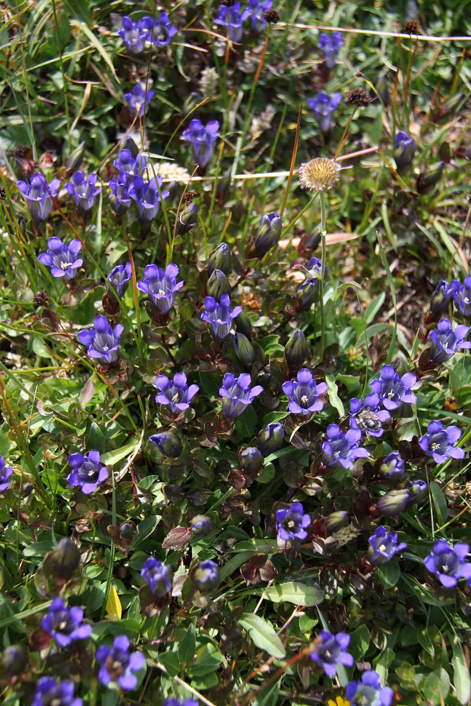
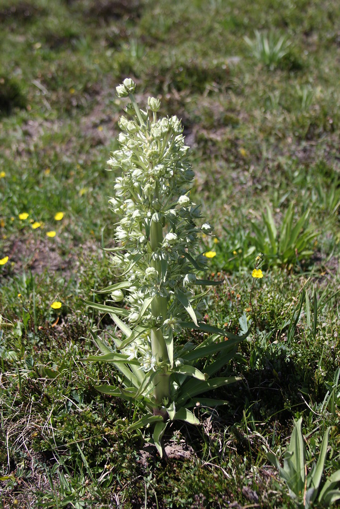
Mountain bog gentian is pretty much endemic in the Roots but there is a superb population above Upper Brannan Lake.
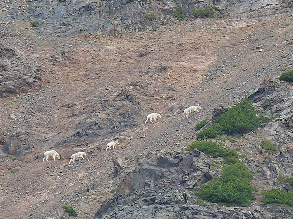
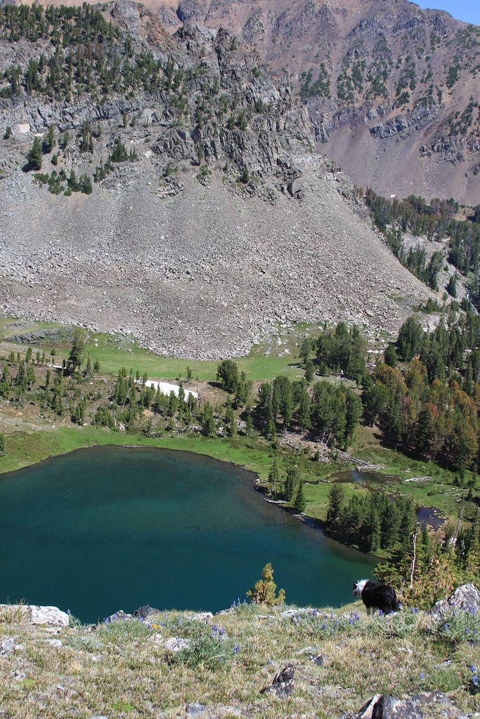
Goats are frequently observed in this area.
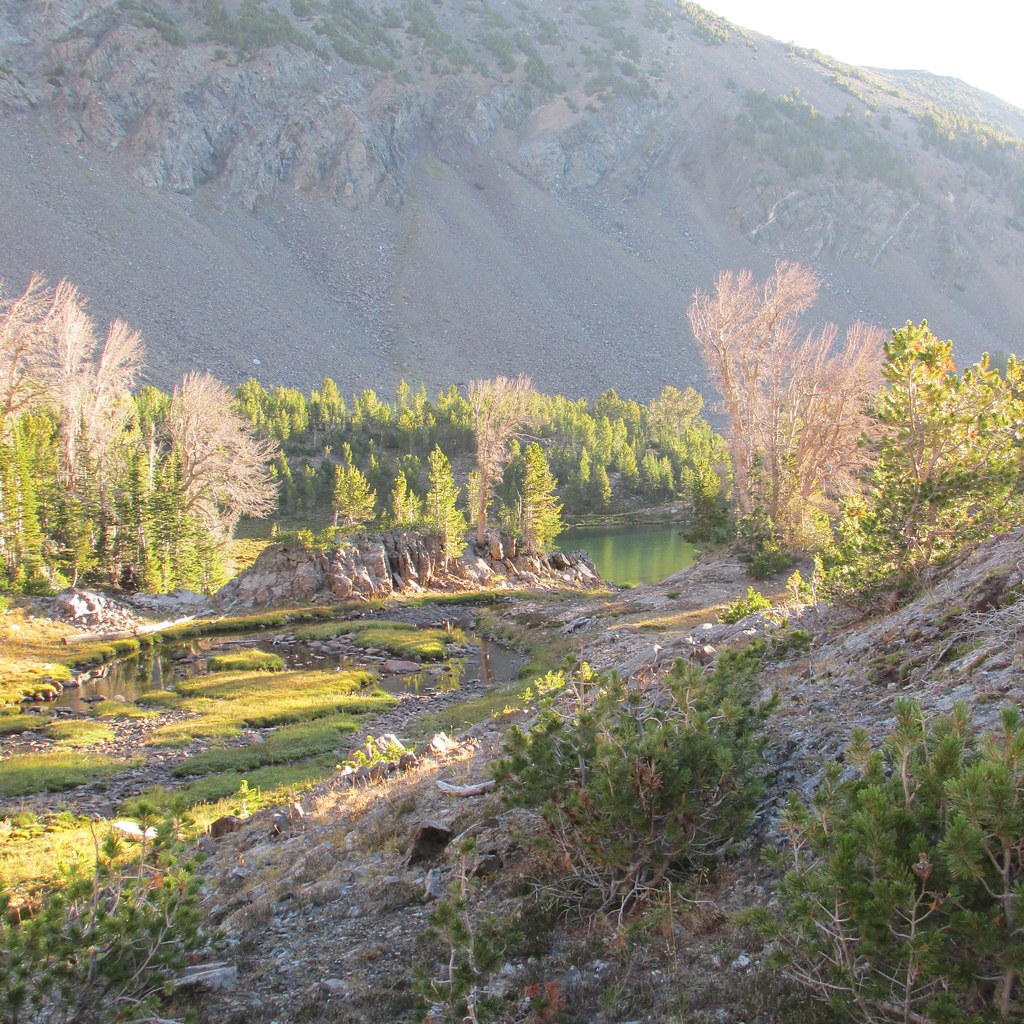
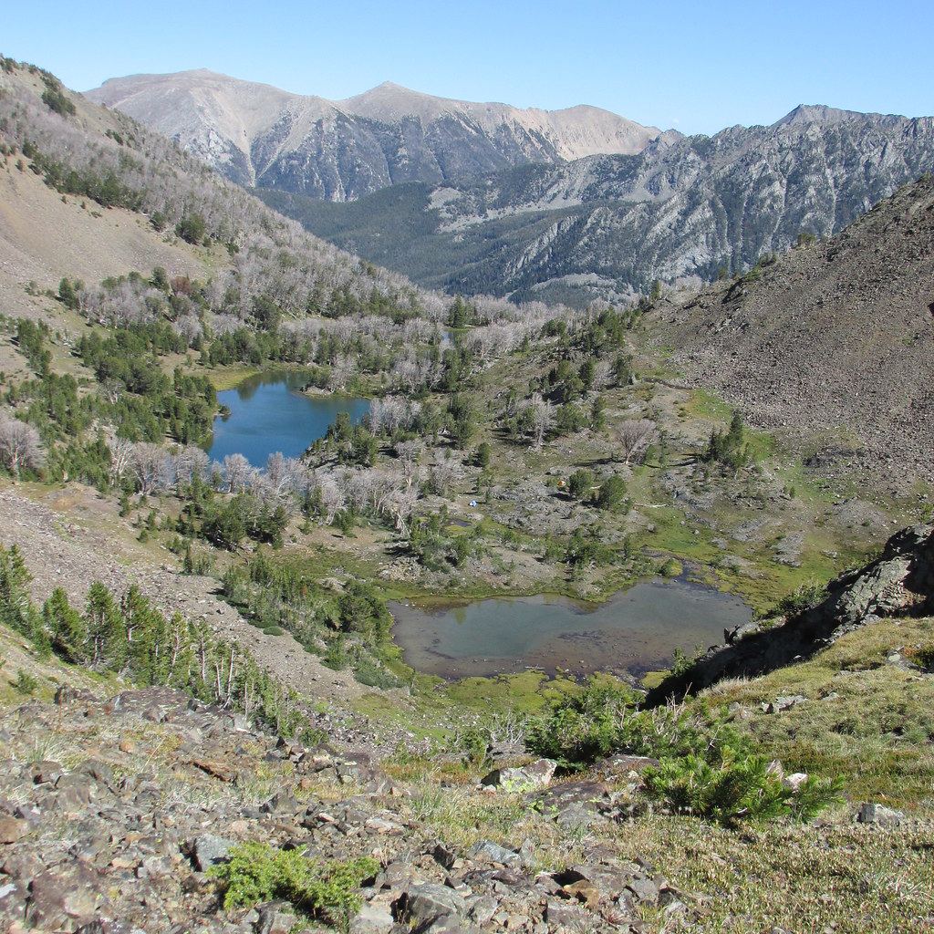
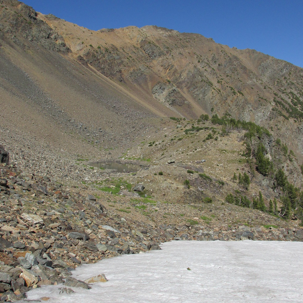
A no-name peak (10,426') north of Brannan Lakes. Puddle is about 9600'.
An off-trail tarn southwest of Sailor Lake. While a scenic area, the skeeters were wicked here.
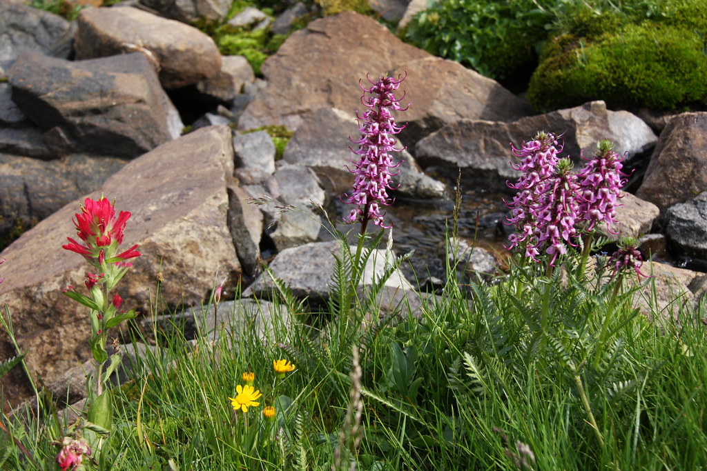
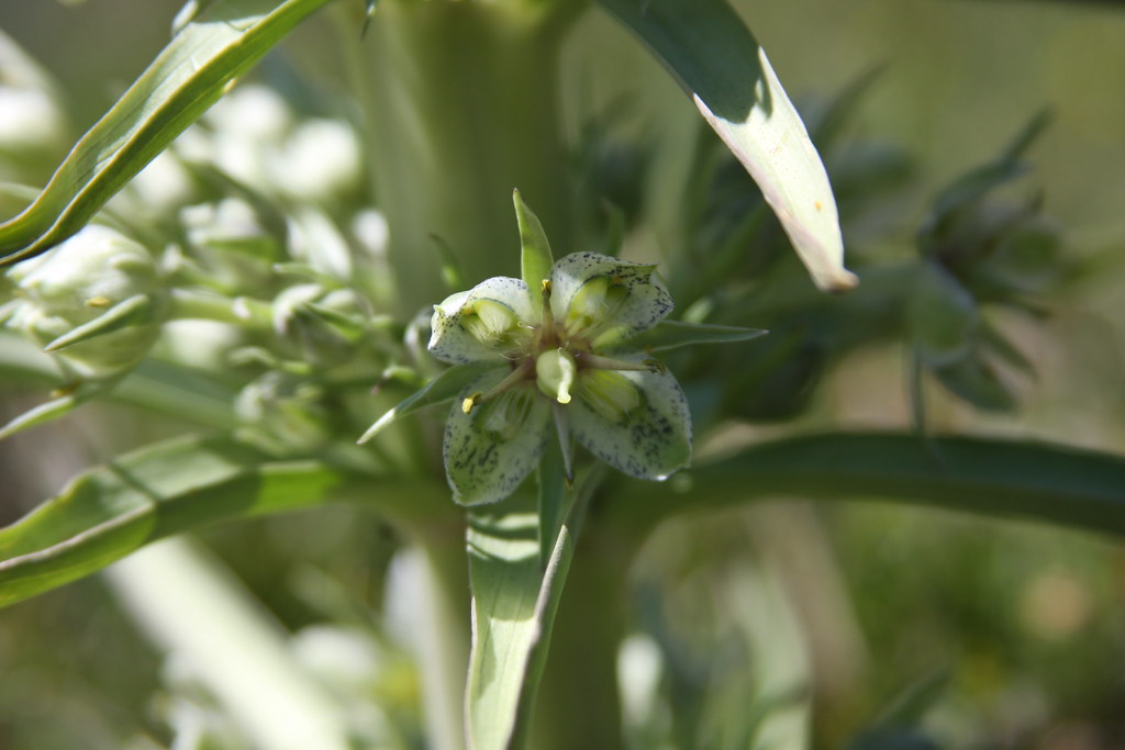
The bowl above the tarn is home to a healthy population of green gentian.
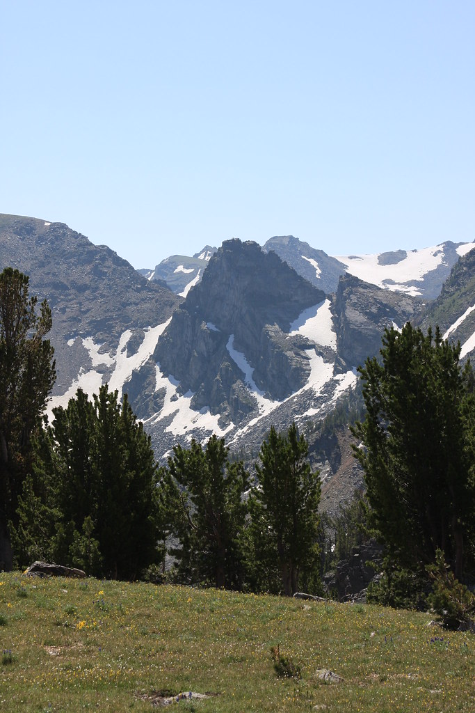
Above the tarn looking southeast.
Mount Jackson from same place. A popular summer ski run.
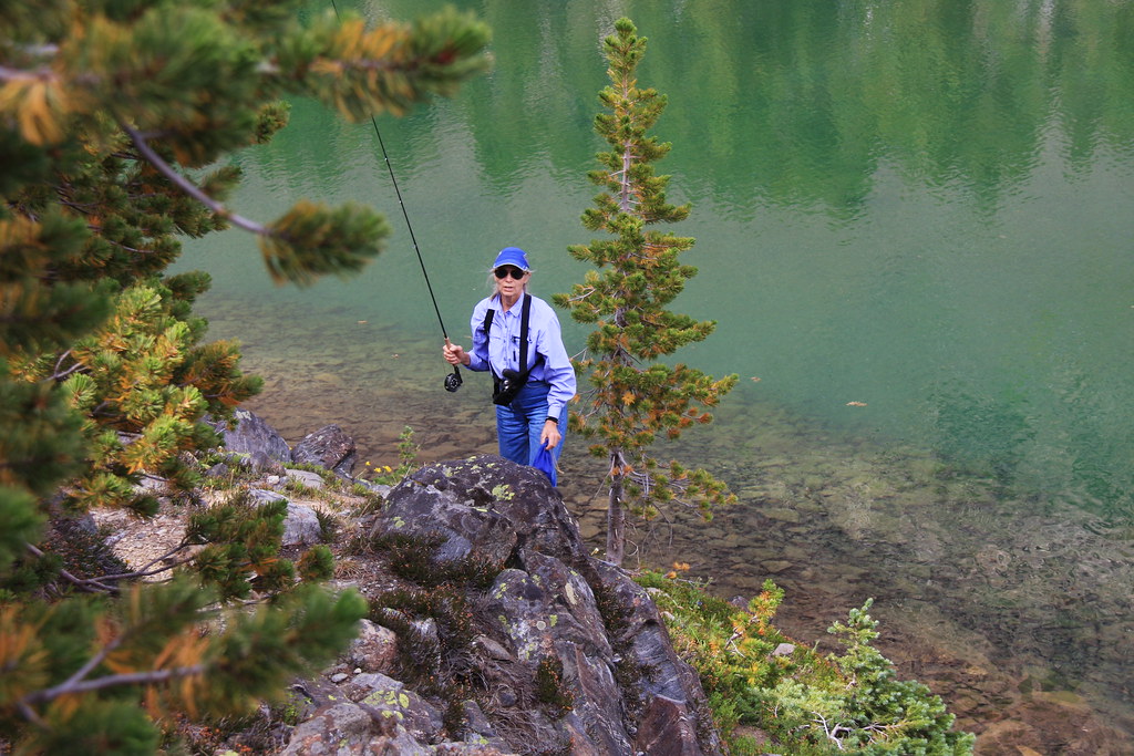
Tarn. No fish here.
All in all, a nice quick fix for the backcountry addiction.
Featured image for home page:

All these lakes are within an approximately one square mile area at the upper reaches of the South Boulder River drainage. Short FS trails lead to Sailor and Brannan Lakes (7167) and Globe Lake (7170). Part of the attraction we have for this area is that we can have camp set up at Upper Brannan Lake within 4 hours of leaving the house, not to mention the fishing is really decent. While Sailor Lake, due to it's quarter mile hike from the trail head, sees a lot of use, the crowd really thins a mile farther up the drainage at Brannan Lakes. To date, we have never found anyone else camped there. While most of the photos in the following post are from the week after this past Labor day, I have borrowed a few from some prior trips.
At trailhead, end of Jeep trail.
While there is a cabin, adit and the remains of this large compressor at the trail head, the Montana cadastral map shows no patented mining claim here.
Mount Jackson/Sailor Lake.
Globe Lake.
It was at Globe we ran into these critters at a way too close 150'. It raised the pulse rate for a bit before the sow finally decided to run.
Upper Brannan Lake-and a lot of deceased whitebark pine.
The same scene from 7 years earlier.
Brannan Lakes, Middle Mountain (center), Granite Peak (right).
Token canine shot.
The Upper Brannan and the puddle above it, Hollowtop (left and highest peak in the Roots) and Mount Jefferson in background. Our tents are visible in this one.
Mountain bog gentian is pretty much endemic in the Roots but there is a superb population above Upper Brannan Lake.
Goats are frequently observed in this area.
A no-name peak (10,426') north of Brannan Lakes. Puddle is about 9600'.
An off-trail tarn southwest of Sailor Lake. While a scenic area, the skeeters were wicked here.
The bowl above the tarn is home to a healthy population of green gentian.
Above the tarn looking southeast.
Mount Jackson from same place. A popular summer ski run.
Tarn. No fish here.
All in all, a nice quick fix for the backcountry addiction.
Featured image for home page: