
- Joined
- Feb 15, 2020
- Messages
- 642
Another fun one in the southern Absarokas! I wasn't sure I'd have any company for this one, so I posted it in the Meet Up forum a few months ago. @wsp_scott expressed interest and was able to join me, which was an absolute pleasure. Ended up adding a couple others - one a frequent hiking partner and the other a friend-of-a-friend that ended up being a great fit. So we would start out from the Box Creek TH as a group of 4.
I'd caution anyone reading this report that this is not a logical route - and certainly not a route I'd draw up for a first (or second or third) trip into this area. More than a couple awkward descents/ascents from the high plateaus were necessary. All of my hiking partners agreed - apparently - so we split up a few times, but were happily able to connect throughout the trip and finish together. (You might even ask why this is the one I chose to create a Meet Up post for... the answer: no idea. )
)
Last year on my Hidden Eagle Traverse I walked on the shared plateau with Thunder Mountain, but headed towards the Thorofare Plateau instead. This year I wanted to tackle Thunder - and revisit my favorite high point from last year Point 11797 above Hidden Creek Valley. Being in the area, I couldn't help but make my way down to Younts Peak. And then, desiring to make a loop but not hike the low horse trails, I would tackle a traverse of Soda Mountain on my way out.
All three "main" objectives delivered - each with a caveat. Thunder Mountain was a great climb and the one narrow section went beautifully, but I was socked in by clouds and had no views at all; Younts Peak was (as always) incredible, but was at the end of an already big day and very hot; and Soda Mountain was really cool, but the ridgeline didn't go quite the way I hoped and required a significant re-route.
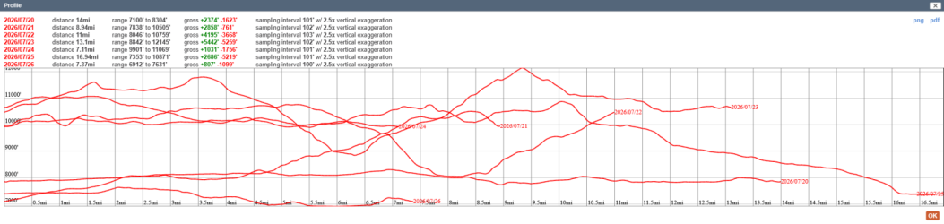
Day 1: Box Creek TH to Pacific Creek [14 mi; +2,374'/-1,623']
Easy enough start for the trip - but very hot. Original plan was to camp near Enos Lake, but it was fairly unimpressive so we continued on to Pacific Creek for the evening. We got a good start on animal sightings by spotting a grizzly sow with three small cubs just a few miles in. @wsp_scott and I were also treated to a single wolf wandering past camp as we stood around chatting that evening.
Pleasant weather when we got started, though it would rapidly heat up.
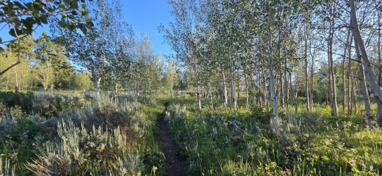
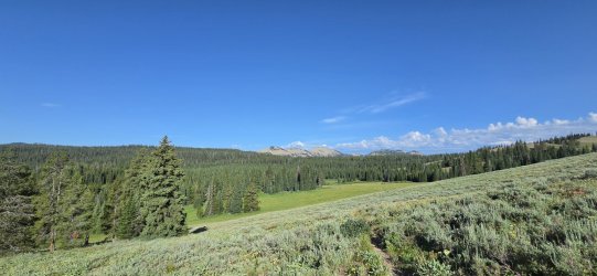
Views started opening up as we climbed the trail.
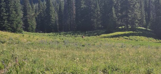
Our first grizzly. I wish I'd been taking a video instead of a bad picture, because once she spotted us she stood up, vocalized fairly loudly, then ran off into the brush with her three cubs in tow.
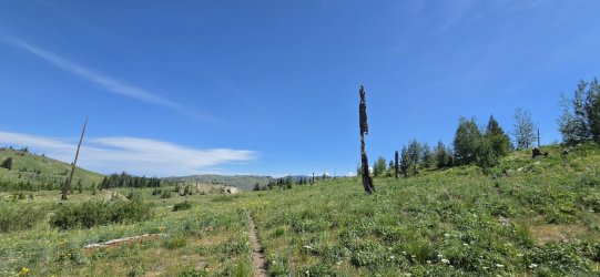
Enjoyed this unique burned tree.
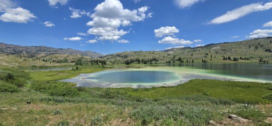
Algae in Enos Lake doing a fair impression of Grand Prismatic Spring.
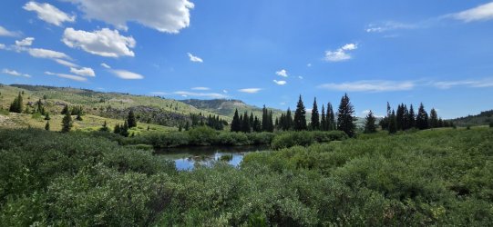
Very marshy though - hence our decision to continue on to Pacific Creek.
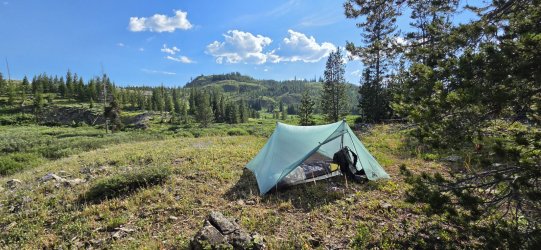
Home for the evening. Altogether a good day.
Day 2: Pacific Creek to Upper Trail Creek [8.94 mi; +2,858'/-761']
Another straightforward day - and pretty hot. I was happy to get up a bit higher late in the day and the climb up Daniels Creek to the Atlantic Benchmark was very satisfying. Our camp for the night was almost directly on the Divide while still being sheltered, which was pretty cool. We 'swam' in the lake on the Pacific side and ate dinner looking down on the Atlantic side. Not much animal life today.
Early morning on Pacific Creek.
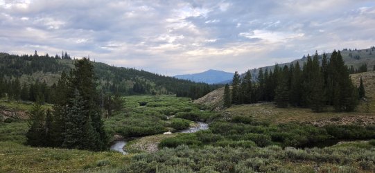
Approaching Two Ocean Pass. Here the group would diverge for the first time - two of us followed Daniels Creek up to the Atlantic Benchmark, while the others took Trail Creek directly to camp.
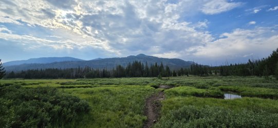
Not the worst bushwhack up Daniels Creek, but a couple steep sections with downfall along the way.
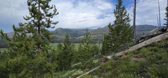
First look (of many) out at the Tetons.
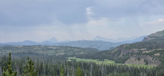
Lunch alongside an alpine meadow as we approached the treeline.
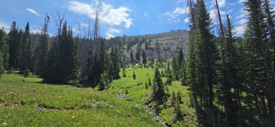
Little bits of snow still hanging on up here.
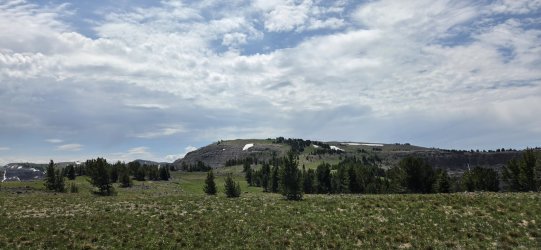
I think I slept on how beautiful Jay Creek would look from up here.
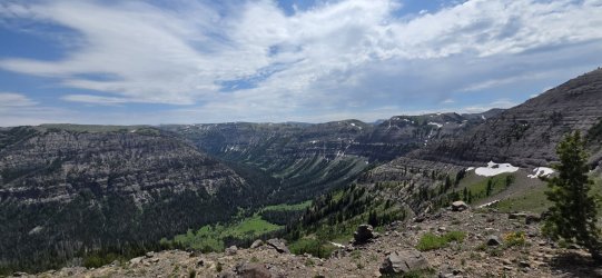
The weather was beautiful when we rolled into camp - it would turn to storms later in the evening, but not before we all did a little wading.
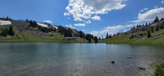
Replace the blue sky w/ angry storm clouds and this was our view for dinner. We all called it an early night as the rain moved in.
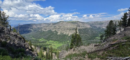
Day 3: Upper Trail Creek to Thunder Mountain [11 mi; +4,195'/-3,668']
Woke up feeling great - which was good, because I was looking at a couple tough days ahead of me. The morning was a bit damp, but the rain had moved on and conditions were solid. We started the day following the Divide all the way to Tri-County Lake (where we left @wsp_scott to explore the Jay Creek drainage - among other wanderings), then dropped all the way down to the Yellowstone River. The bushwhack down to the Yellowstone started as I hoped and ended as I feared, but we made it relatively unscathed. My two remaining companions chose to head down towards the South Fork of the Yellowstone River and meet me for Younts. I proceeded to climb up an unnamed drainage in preparation for hitting Thunder Mountain in the AM. I got to my target spot around 10,000' just as the storms rolled back in.
A cool start to the morning.
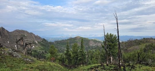
Looking down the North Buffalo Fork.
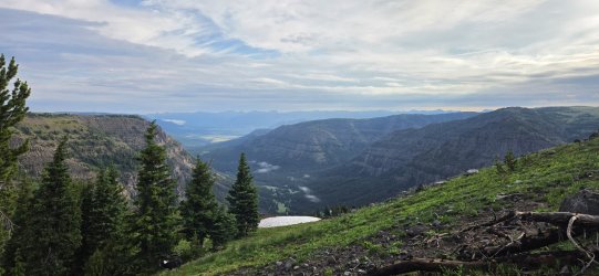
Soda Mountain. We'll get to that later.
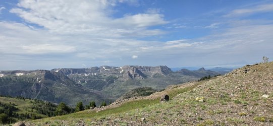
The upper sections of Jay Creek really did look magical.
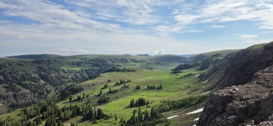
Tri-County Lake.
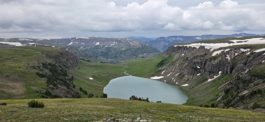
The early portion of the descent was great...
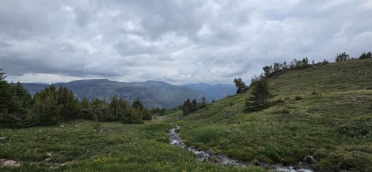
...the lower sections less so.
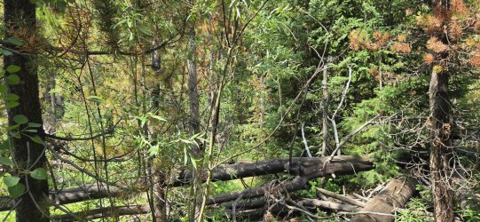
Stopped taking pictures for a bit and said goodbye to my last two hiking partners to head up Thunder. A look back at our route down.
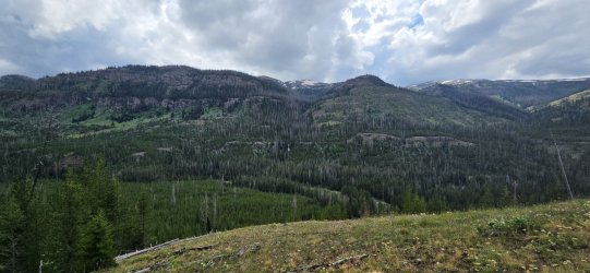
The route I took up Thunder was steep and a bit brushy, but much better than the earlier descent.
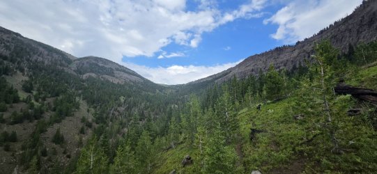
Started looking for camp right as I reached the treeline. Nice spot, but the weather rolled in quickly.
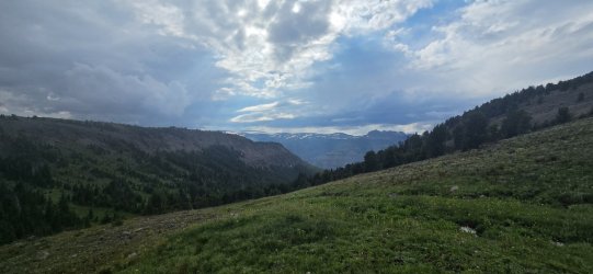
Ate my instant mashed potatoes and dove into the tent. The rain would persist most of the night and well into the next morning. Not much wind though - even in this exposed location.
Day 4: Thunder Mountain to Marston Pass [13.1 mi; +5,442'/-5,259']
Called a couple audibles on this day: 1) stayed in bed late hoping the rain would stop (and it did); and 2) tacked on Younts to the end of this day, since my hiking partners decided they were just going to stop near Marston Pass and skip that particular climb. Ended up being a wonderful day, but one that in my memory really feels like two separate days.
All packed up in the morning. Not much has changed.
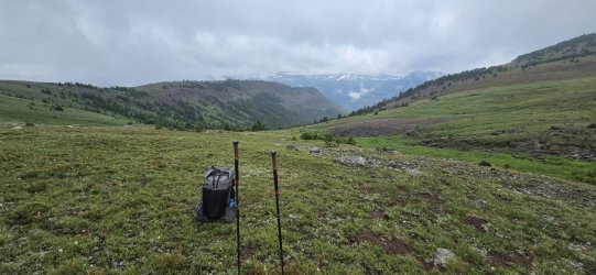
A few elk in the morning mist.
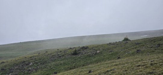
Not the best visibility - and not getting any better.
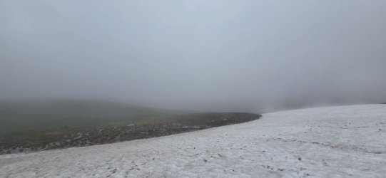
A little spooky.
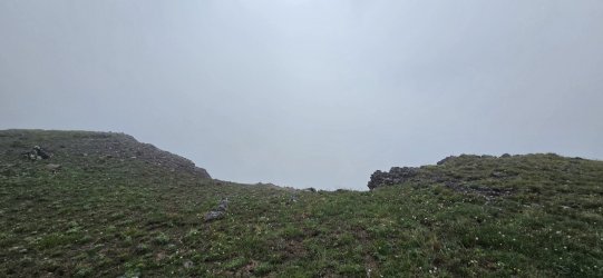
Near the summit.
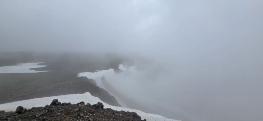
360° from Thunder Mountain.
This was the section I was most concerned about - and the weather certainly made it look extra spooky.
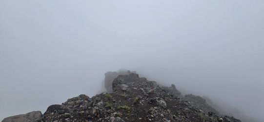
But it really wasn't bad once you got right on top of it. (Looking back up.)
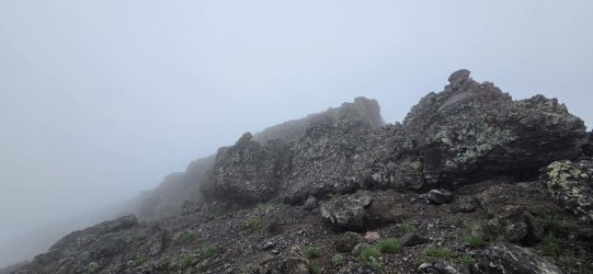
The views were constantly changing as the sun started to emerge and jockey with the clouds for dominance.
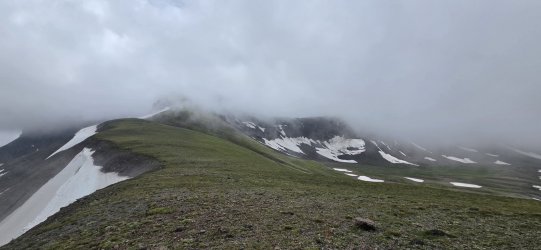
Walked a bit of last year's route - the clouds were even nice enough to give me a look down Hidden Creek.
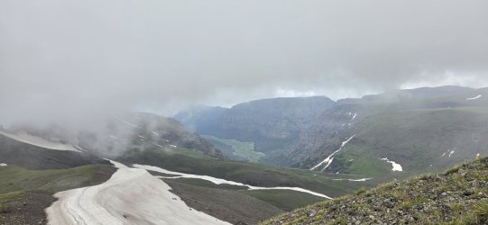
Very different view from 11797 than last year.
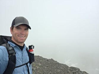
I had a decision to make at this point - the two companions I'd left on the Yellowstone River trail let me know that it was in pretty bad shape and they were moving slow, so they were going to skip Younts. I was still resolved to do Younts, but was also eager to join back up. I decided to take a more direct route to Younts so that I could meet them in the AM after summiting. (But I would end up changing my mind once more.)
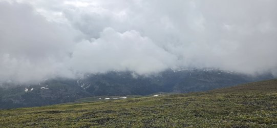
The climb down to the North Fork of the Yellowstone River started out uneventful and gave me a good look at my options for approaching Younts.
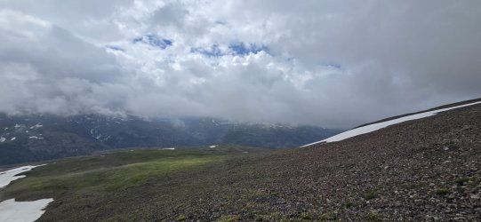
My original plan would've had me swing wide and approach Younts from the north.
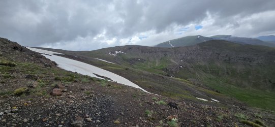
But I decided to 'roll the dice' and try a more direct approach from the west.
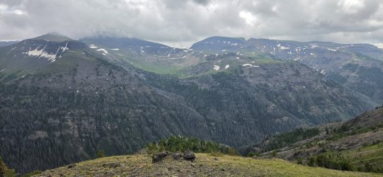
Once I reached the cliff bands, my climb down got a lot more interesting.
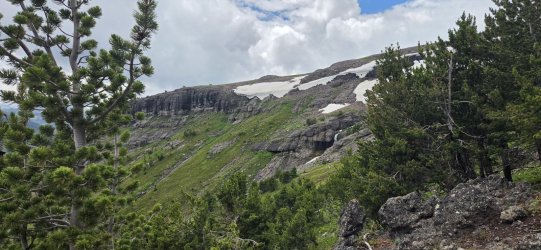
A little careful routefinding and a few beautiful waterfalls got me to the bottom though.
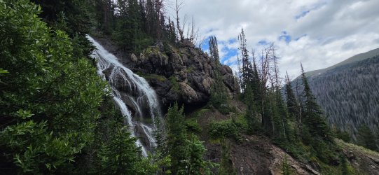
Short video of one of my favorites.
Had a small snack at the North Fork of the Yellowstone River and took cover from a brief rainstorm in the trees.
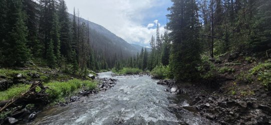
After the rain, it was blue skies for pretty much the rest of the day (and trip, for that matter). I'd done zero research on this drainage, but it ended up being fine. At this point I was thinking I'd stop once I hit treeline and call it a day.
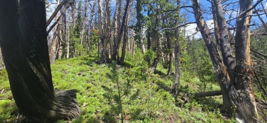
Felt like a brand new day in the sun.
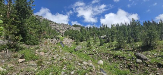
This really would've been a nice spot to camp... but my legs were feeling strong and I ended up deciding to keep moving. Maybe I'd camp near the Younts Peak saddle?
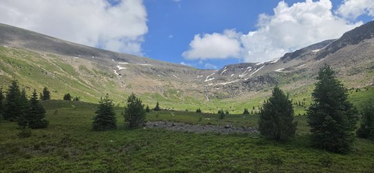
Looking back. Still a few dark clouds lingering, I guess.
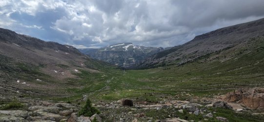
Interesting little formation - looked like a giant hand clawing its way out of the mountain.
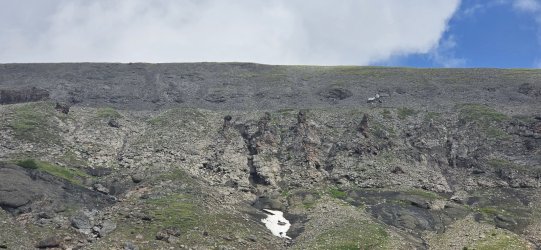
The saddle. With the water still running from the snowfields, this really would've made a nice spot to camp, too. But now I could just about see Marston Pass, so I kept going. I dropped my pack and did the last ~1,000' to the Younts summit unburdened - unfortunately I didn't realize I'd left my phone until I was a couple hundred feet up, so I just enjoyed the walk and the view w/o taking any pictures.
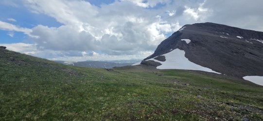
On the way down, I surveyed the base of Younts carefully - hoping to spot some bears. There had been ample scat, but none particularly fresh.
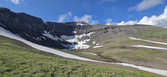
Tough to see, but I did eventually find one on the northeastern ridge. The bear at one point noticed me and moved up a bit higher, but we were visible to each other for quite some time. Only one I spotted though.
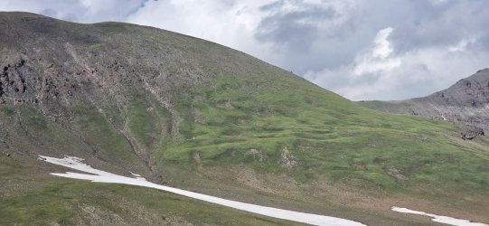
Crossing below Thorofare Mountain.
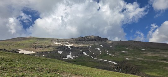
Back with (most of) the crew in a very familiar spot. I've stayed here on four different trips now and loved it every time.
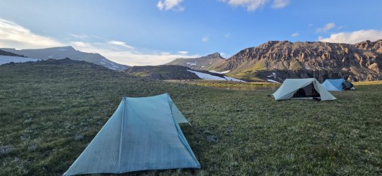
A pleasant sunset from my tent after a long day on my feet.
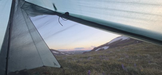
Day 5: Marston Pass to Ferry Lake [7.11 mi; +1,031'/-1,756']
A short, restful day. We slept in, hiked a few easy miles along the Divide, and had most of the afternoon to enjoy our spot at Ferry Lake.
One of my favorite views to wake up to. And just enough cloudcover to keep the temperature down.
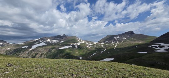
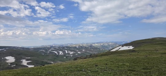
Big views across the plateau.
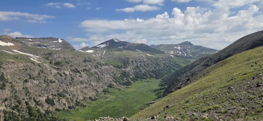
South Fork of the Yellowstone River.
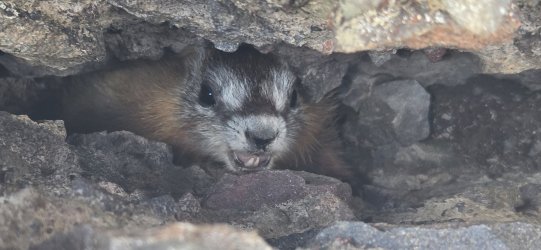
Angry marmot. Very, very loud. Guess he got himself cornered w/o an escape route - not something you see very often.
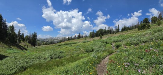
Vegetation was in peak form as we approached Ferry Lake.
At Ferry Lake, our group of three once again became a group of four as we met back up with @wsp_scott. We did get one last rain shower as we were setting up, but it didn't last long.
I spent some time exploring the waterfalls on the Ferry Lake outlet. The upper falls.
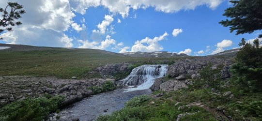
The middle falls.
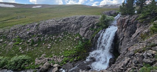
The "lower" falls. (There were more further down, but this is where I stopped.)
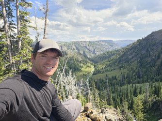
Yours truly enjoying the view.
Ferry Lake.
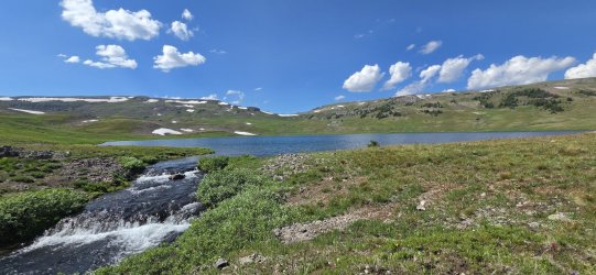
Day 6: Ferry Lake to Soda Fork Meadows [16.94 mi; +2,686'/-5,219']
This one certainly felt like more than ~2,700' of gain... but the 5,200'+ of descent is probably to blame. Today I would take the high route (traverse Soda Mountain) while the others followed the trail down to Soda Fork Meadows. They found us a quiet spot above the meadows for camp - but we were back in the land of the horsepackers.
We got an early start - it was a long day by either route. I followed the trail w/ the others briefly, but then headed up towards Soda Mountain once the trail started dropping to Crater Lake.
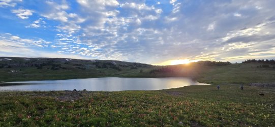
Smooth walking to start the day.
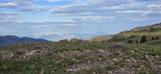
I never tire of looking at the Tetons... and today I would be walking right in their direction most of the day. Wonderful!
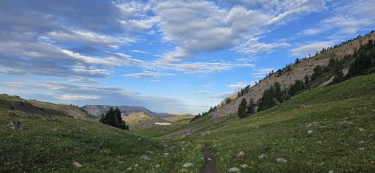
Even after leaving the trail, the walking was good for quite some time.
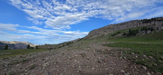
Crater Lake.
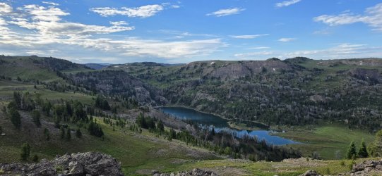
More elk.
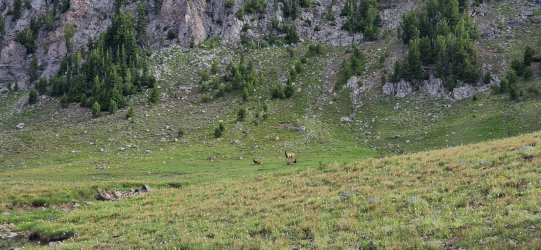
The easy approach from the east really had me thinking this would be an easy one - though I knew the unknown 'crux' lay well out of view.
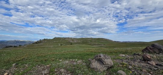
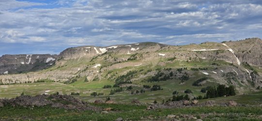
This plateau was stunning though - I'd love to come back and camp up here one day. It's probably pretty bleak by August/September without the snowfields though.
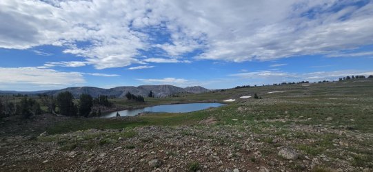
A couple decently sized lakes up here.
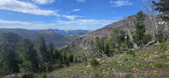
Climbing a bit more.
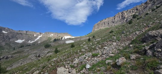
The first 'pass'.
Up on the ridgeline. (Tetons in the distance.)
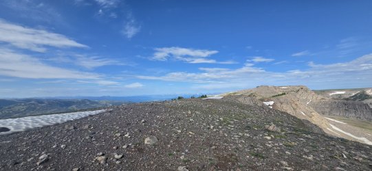
At one point I thought the wall to the right might go (it doesn't), then I thought I'd try the ridge on the left-center of the photo (it doesn't either).
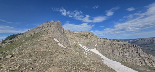

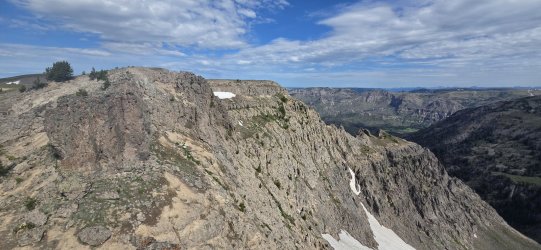
So I had to go around - dropping all the way to the left of this cliff band and regaining the ridge. Lots of sidehilling...
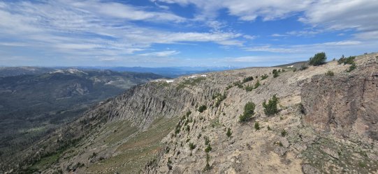
Looking back...
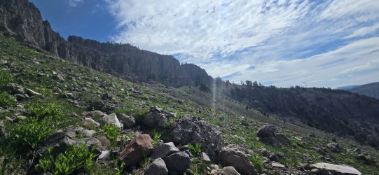
Around the corner w/ the summit finally in view.
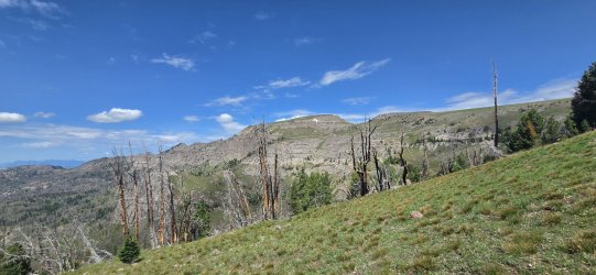
Regaining the ridge.
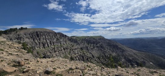
Not the most impressive summit, but a pretty nice high point.
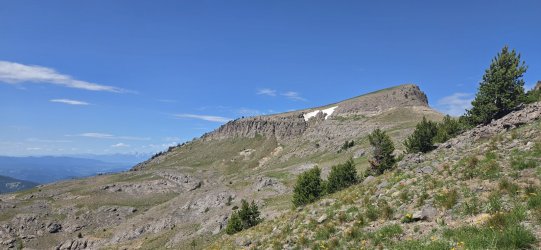
Almost there.
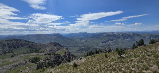
360° from Soda Mountain.
Hello, again.
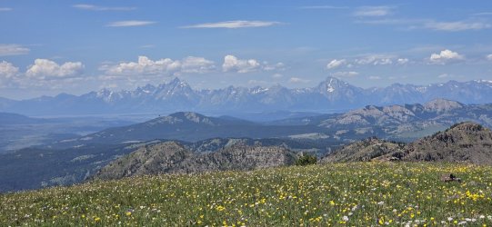
Honestly, the slope of the summit to the northwest was a bit more challenging than I expected, but I only ended up on my butt once.
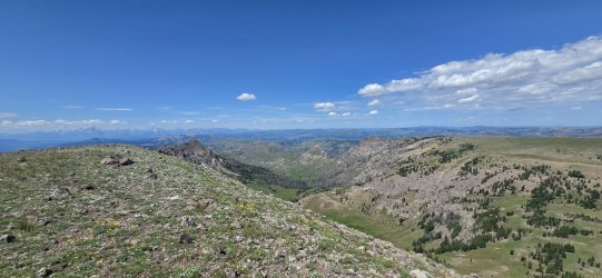
At the "bottom" - only ~3,000' more to go.
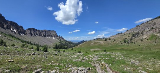
Followed some elk trails out of the upper bowl, before finding an old (very old) outfitters' trail down the main body of the drainage.
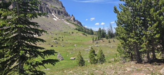
Joy Creek is a beautiful drainage, but I'd still classify a lot of it as a burn scar - especially down low.
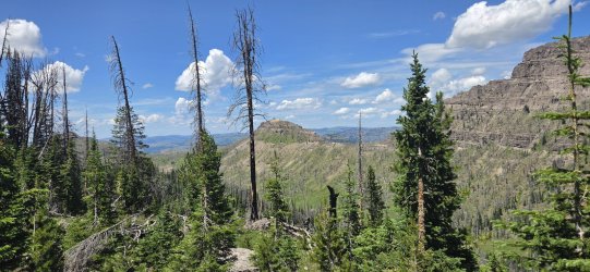
Started getting pretty hot at this point - but also about where I found the outfitter trail. (I don't think it's been maintained since before the fire though.)
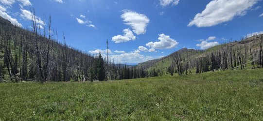
Down, down, down.
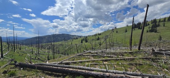
Stopped taking pictures at some point, but I made it to camp and rejoined the crew.
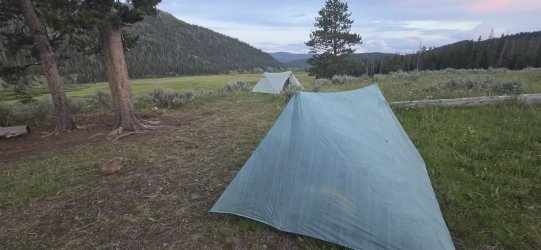
Horses aside, it was a really nice spot.
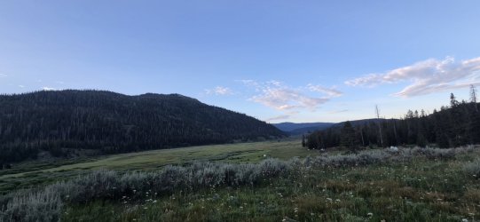
Day 7: Soda Fork Meadows to Box Creek TH [7.37 mi; +807'/-1,099']
Quick, easy exit on a big, muddy horse trail.
Some sections felt like a highway.
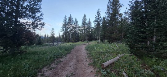
Some sections were a mud pit.
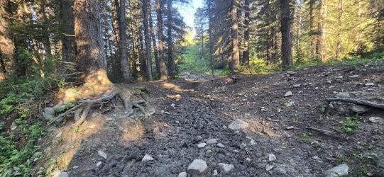
Turpin Meadows. Just a bit of a road walk to the truck at Box Creek TH.
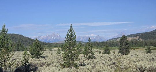
Grabbed a burger and blueberry pie at Cowboy Cafe in Dubois on the way home. All in all a great trip with our little fission-fusion crew - it was a pleasure to meet @wsp_scott in person and share some miles, meals, and stories. Hope we can do it again!
For me this trip was a great way to link a specific collection of new places and viewpoints, but - as I mentioned - I don't think it's the best way to visit most of them. I really enjoyed Thunder Mountain - lack of any view aside - and it was fun to confirm the ridge goes nicely. I'd encourage anyone to include it on a route - getting up and down from the river is a challenge, but the upper sections are wonderful. Younts is always a pleasure obviously - love the section from Marston Pass to Ferry Lake, too. Soda Mountain was an interesting adventure - largely straightforward, but the 'pain points' were pretty painful; I'd definitely visit that plateau to the east again though.
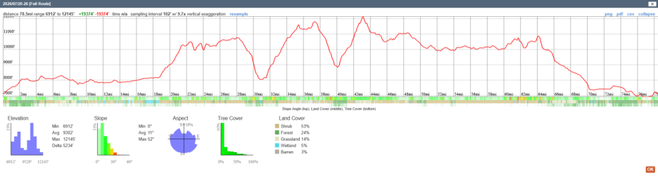
Actual distance/elevations of the trip. Total distance ended up at 78.5 mi; total elevation gain/loss at +19,374'/-19,374' - per CalTopo.
I'd caution anyone reading this report that this is not a logical route - and certainly not a route I'd draw up for a first (or second or third) trip into this area. More than a couple awkward descents/ascents from the high plateaus were necessary. All of my hiking partners agreed - apparently - so we split up a few times, but were happily able to connect throughout the trip and finish together. (You might even ask why this is the one I chose to create a Meet Up post for... the answer: no idea.
)Last year on my Hidden Eagle Traverse I walked on the shared plateau with Thunder Mountain, but headed towards the Thorofare Plateau instead. This year I wanted to tackle Thunder - and revisit my favorite high point from last year Point 11797 above Hidden Creek Valley. Being in the area, I couldn't help but make my way down to Younts Peak. And then, desiring to make a loop but not hike the low horse trails, I would tackle a traverse of Soda Mountain on my way out.
All three "main" objectives delivered - each with a caveat. Thunder Mountain was a great climb and the one narrow section went beautifully, but I was socked in by clouds and had no views at all; Younts Peak was (as always) incredible, but was at the end of an already big day and very hot; and Soda Mountain was really cool, but the ridgeline didn't go quite the way I hoped and required a significant re-route.
Day 1: Box Creek TH to Pacific Creek [14 mi; +2,374'/-1,623']
Easy enough start for the trip - but very hot. Original plan was to camp near Enos Lake, but it was fairly unimpressive so we continued on to Pacific Creek for the evening. We got a good start on animal sightings by spotting a grizzly sow with three small cubs just a few miles in. @wsp_scott and I were also treated to a single wolf wandering past camp as we stood around chatting that evening.
Pleasant weather when we got started, though it would rapidly heat up.
Views started opening up as we climbed the trail.
Our first grizzly. I wish I'd been taking a video instead of a bad picture, because once she spotted us she stood up, vocalized fairly loudly, then ran off into the brush with her three cubs in tow.
Enjoyed this unique burned tree.
Algae in Enos Lake doing a fair impression of Grand Prismatic Spring.
Very marshy though - hence our decision to continue on to Pacific Creek.
Home for the evening. Altogether a good day.
Day 2: Pacific Creek to Upper Trail Creek [8.94 mi; +2,858'/-761']
Another straightforward day - and pretty hot. I was happy to get up a bit higher late in the day and the climb up Daniels Creek to the Atlantic Benchmark was very satisfying. Our camp for the night was almost directly on the Divide while still being sheltered, which was pretty cool. We 'swam' in the lake on the Pacific side and ate dinner looking down on the Atlantic side. Not much animal life today.
Early morning on Pacific Creek.
Approaching Two Ocean Pass. Here the group would diverge for the first time - two of us followed Daniels Creek up to the Atlantic Benchmark, while the others took Trail Creek directly to camp.
Not the worst bushwhack up Daniels Creek, but a couple steep sections with downfall along the way.
First look (of many) out at the Tetons.
Lunch alongside an alpine meadow as we approached the treeline.
Little bits of snow still hanging on up here.
I think I slept on how beautiful Jay Creek would look from up here.
The weather was beautiful when we rolled into camp - it would turn to storms later in the evening, but not before we all did a little wading.
Replace the blue sky w/ angry storm clouds and this was our view for dinner. We all called it an early night as the rain moved in.
Day 3: Upper Trail Creek to Thunder Mountain [11 mi; +4,195'/-3,668']
Woke up feeling great - which was good, because I was looking at a couple tough days ahead of me. The morning was a bit damp, but the rain had moved on and conditions were solid. We started the day following the Divide all the way to Tri-County Lake (where we left @wsp_scott to explore the Jay Creek drainage - among other wanderings), then dropped all the way down to the Yellowstone River. The bushwhack down to the Yellowstone started as I hoped and ended as I feared, but we made it relatively unscathed. My two remaining companions chose to head down towards the South Fork of the Yellowstone River and meet me for Younts. I proceeded to climb up an unnamed drainage in preparation for hitting Thunder Mountain in the AM. I got to my target spot around 10,000' just as the storms rolled back in.
A cool start to the morning.
Looking down the North Buffalo Fork.
Soda Mountain. We'll get to that later.
The upper sections of Jay Creek really did look magical.
Tri-County Lake.
The early portion of the descent was great...
...the lower sections less so.
Stopped taking pictures for a bit and said goodbye to my last two hiking partners to head up Thunder. A look back at our route down.
The route I took up Thunder was steep and a bit brushy, but much better than the earlier descent.
Started looking for camp right as I reached the treeline. Nice spot, but the weather rolled in quickly.
Ate my instant mashed potatoes and dove into the tent. The rain would persist most of the night and well into the next morning. Not much wind though - even in this exposed location.
Day 4: Thunder Mountain to Marston Pass [13.1 mi; +5,442'/-5,259']
Called a couple audibles on this day: 1) stayed in bed late hoping the rain would stop (and it did); and 2) tacked on Younts to the end of this day, since my hiking partners decided they were just going to stop near Marston Pass and skip that particular climb. Ended up being a wonderful day, but one that in my memory really feels like two separate days.
All packed up in the morning. Not much has changed.
A few elk in the morning mist.
Not the best visibility - and not getting any better.
A little spooky.
Near the summit.
360° from Thunder Mountain.
This was the section I was most concerned about - and the weather certainly made it look extra spooky.
But it really wasn't bad once you got right on top of it. (Looking back up.)
The views were constantly changing as the sun started to emerge and jockey with the clouds for dominance.
Walked a bit of last year's route - the clouds were even nice enough to give me a look down Hidden Creek.
Very different view from 11797 than last year.
I had a decision to make at this point - the two companions I'd left on the Yellowstone River trail let me know that it was in pretty bad shape and they were moving slow, so they were going to skip Younts. I was still resolved to do Younts, but was also eager to join back up. I decided to take a more direct route to Younts so that I could meet them in the AM after summiting. (But I would end up changing my mind once more.)
The climb down to the North Fork of the Yellowstone River started out uneventful and gave me a good look at my options for approaching Younts.
My original plan would've had me swing wide and approach Younts from the north.
But I decided to 'roll the dice' and try a more direct approach from the west.
Once I reached the cliff bands, my climb down got a lot more interesting.
A little careful routefinding and a few beautiful waterfalls got me to the bottom though.
Short video of one of my favorites.
Had a small snack at the North Fork of the Yellowstone River and took cover from a brief rainstorm in the trees.
After the rain, it was blue skies for pretty much the rest of the day (and trip, for that matter). I'd done zero research on this drainage, but it ended up being fine. At this point I was thinking I'd stop once I hit treeline and call it a day.
Felt like a brand new day in the sun.
This really would've been a nice spot to camp... but my legs were feeling strong and I ended up deciding to keep moving. Maybe I'd camp near the Younts Peak saddle?
Looking back. Still a few dark clouds lingering, I guess.
Interesting little formation - looked like a giant hand clawing its way out of the mountain.
The saddle. With the water still running from the snowfields, this really would've made a nice spot to camp, too. But now I could just about see Marston Pass, so I kept going. I dropped my pack and did the last ~1,000' to the Younts summit unburdened - unfortunately I didn't realize I'd left my phone until I was a couple hundred feet up, so I just enjoyed the walk and the view w/o taking any pictures.
On the way down, I surveyed the base of Younts carefully - hoping to spot some bears. There had been ample scat, but none particularly fresh.
Tough to see, but I did eventually find one on the northeastern ridge. The bear at one point noticed me and moved up a bit higher, but we were visible to each other for quite some time. Only one I spotted though.
Crossing below Thorofare Mountain.
Back with (most of) the crew in a very familiar spot. I've stayed here on four different trips now and loved it every time.
A pleasant sunset from my tent after a long day on my feet.
Day 5: Marston Pass to Ferry Lake [7.11 mi; +1,031'/-1,756']
A short, restful day. We slept in, hiked a few easy miles along the Divide, and had most of the afternoon to enjoy our spot at Ferry Lake.
One of my favorite views to wake up to. And just enough cloudcover to keep the temperature down.
Big views across the plateau.
South Fork of the Yellowstone River.
Angry marmot. Very, very loud. Guess he got himself cornered w/o an escape route - not something you see very often.
Vegetation was in peak form as we approached Ferry Lake.
At Ferry Lake, our group of three once again became a group of four as we met back up with @wsp_scott. We did get one last rain shower as we were setting up, but it didn't last long.
I spent some time exploring the waterfalls on the Ferry Lake outlet. The upper falls.
The middle falls.
The "lower" falls. (There were more further down, but this is where I stopped.)
Yours truly enjoying the view.
Ferry Lake.
Day 6: Ferry Lake to Soda Fork Meadows [16.94 mi; +2,686'/-5,219']
This one certainly felt like more than ~2,700' of gain... but the 5,200'+ of descent is probably to blame. Today I would take the high route (traverse Soda Mountain) while the others followed the trail down to Soda Fork Meadows. They found us a quiet spot above the meadows for camp - but we were back in the land of the horsepackers.
We got an early start - it was a long day by either route. I followed the trail w/ the others briefly, but then headed up towards Soda Mountain once the trail started dropping to Crater Lake.
Smooth walking to start the day.
I never tire of looking at the Tetons... and today I would be walking right in their direction most of the day. Wonderful!
Even after leaving the trail, the walking was good for quite some time.
Crater Lake.
More elk.
The easy approach from the east really had me thinking this would be an easy one - though I knew the unknown 'crux' lay well out of view.
This plateau was stunning though - I'd love to come back and camp up here one day. It's probably pretty bleak by August/September without the snowfields though.
A couple decently sized lakes up here.
Climbing a bit more.
The first 'pass'.
Up on the ridgeline. (Tetons in the distance.)
At one point I thought the wall to the right might go (it doesn't), then I thought I'd try the ridge on the left-center of the photo (it doesn't either).
So I had to go around - dropping all the way to the left of this cliff band and regaining the ridge. Lots of sidehilling...
Looking back...
Around the corner w/ the summit finally in view.
Regaining the ridge.
Not the most impressive summit, but a pretty nice high point.
Almost there.
360° from Soda Mountain.
Hello, again.
Honestly, the slope of the summit to the northwest was a bit more challenging than I expected, but I only ended up on my butt once.
At the "bottom" - only ~3,000' more to go.
Followed some elk trails out of the upper bowl, before finding an old (very old) outfitters' trail down the main body of the drainage.
Joy Creek is a beautiful drainage, but I'd still classify a lot of it as a burn scar - especially down low.
Started getting pretty hot at this point - but also about where I found the outfitter trail. (I don't think it's been maintained since before the fire though.)
Down, down, down.
Stopped taking pictures at some point, but I made it to camp and rejoined the crew.
Horses aside, it was a really nice spot.
Day 7: Soda Fork Meadows to Box Creek TH [7.37 mi; +807'/-1,099']
Quick, easy exit on a big, muddy horse trail.
Some sections felt like a highway.
Some sections were a mud pit.
Turpin Meadows. Just a bit of a road walk to the truck at Box Creek TH.
Grabbed a burger and blueberry pie at Cowboy Cafe in Dubois on the way home. All in all a great trip with our little fission-fusion crew - it was a pleasure to meet @wsp_scott in person and share some miles, meals, and stories. Hope we can do it again!
For me this trip was a great way to link a specific collection of new places and viewpoints, but - as I mentioned - I don't think it's the best way to visit most of them. I really enjoyed Thunder Mountain - lack of any view aside - and it was fun to confirm the ridge goes nicely. I'd encourage anyone to include it on a route - getting up and down from the river is a challenge, but the upper sections are wonderful. Younts is always a pleasure obviously - love the section from Marston Pass to Ferry Lake, too. Soda Mountain was an interesting adventure - largely straightforward, but the 'pain points' were pretty painful; I'd definitely visit that plateau to the east again though.
Actual distance/elevations of the trip. Total distance ended up at 78.5 mi; total elevation gain/loss at +19,374'/-19,374' - per CalTopo.