- Joined
- Aug 9, 2007
- Messages
- 12,967
April 2006
The Death Hollow/Escalante River Gorge is one of those areas that I am continually drawn to when I think about a backpacking trip in the desert. There really aren't that many places where you can bring the dogs, see outstanding scenery, drink clear water and still get so out there. I love this place.
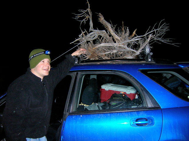
We got a late start so it was dark by the time we decided to find car camp on the way to the Monument. This is somewhere outside of Scipio, how do you like our wood gathering method?
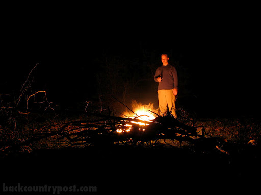
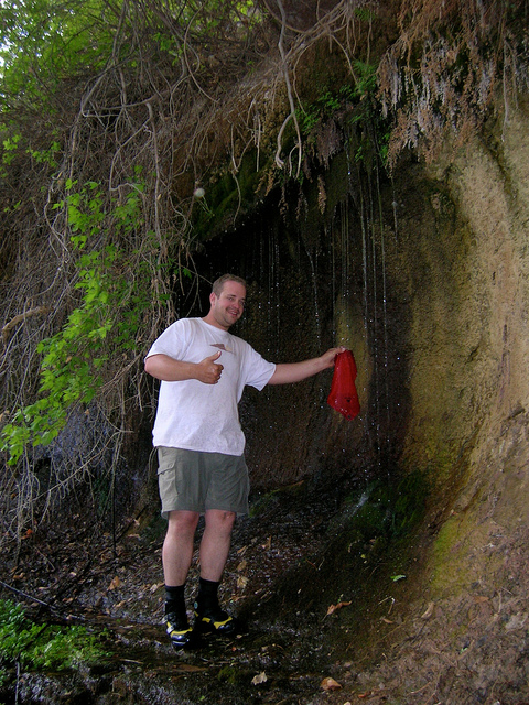
A decent shot of a campfire is hard to do. Nate took this picture of me at Camp 1.
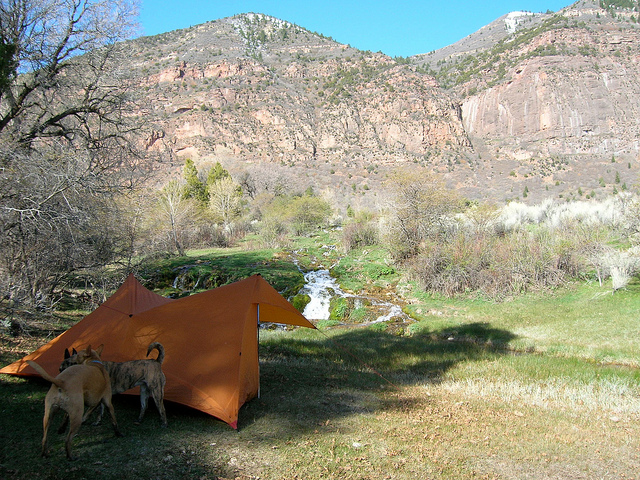
Camp 1. We kind of picked a random road in the dark and were rather pleased to see this when morning came.
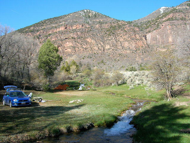
Another shot of camp. It was awesome to wake up here.
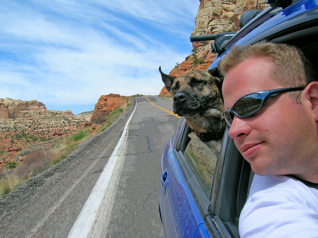
Highway 12 at it's finest. Oh and the self-portrait isn't too bad either.
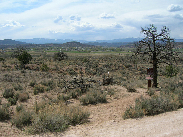
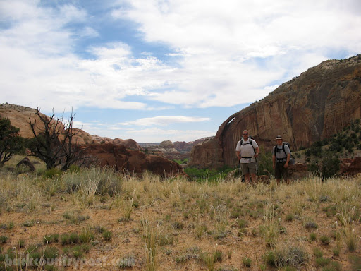
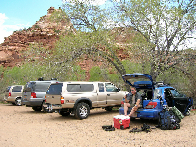
The trailhead. Escalante is the town in the background. I sat here with the dogs and gear for a little over an hour while Nate dropped the car and hitch hiked back. Go Nate!
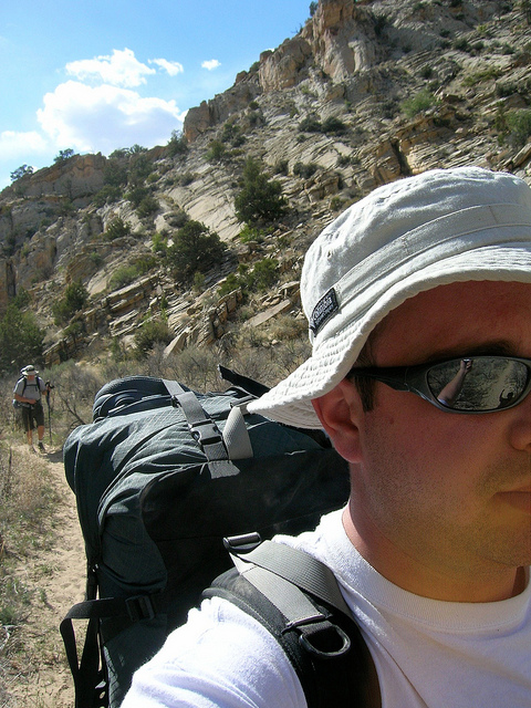
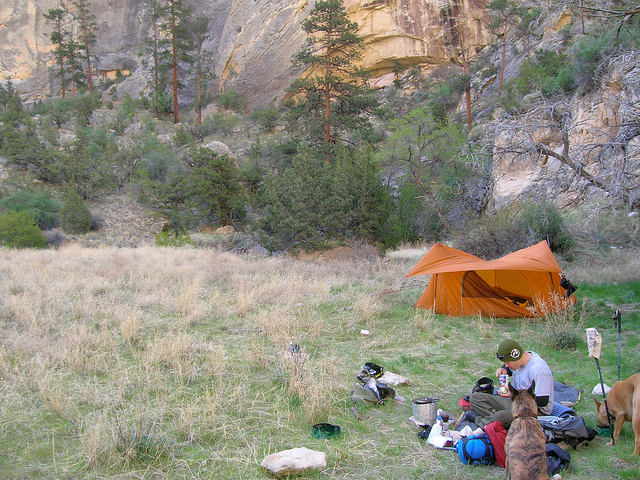
One of many self portraits on this trip. We started late the first day so we only got in 3 or 4 miles before setting up camp.
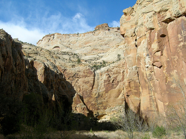
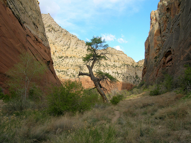
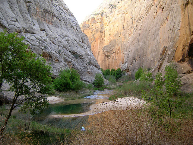
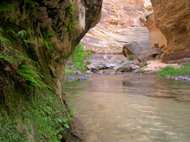
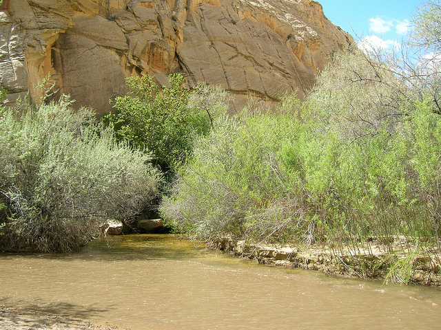
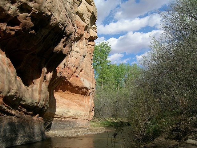
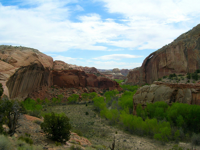
The Escalante River Gorge
Taking a break in the shade
Timed self portrait gone wrong courtesy of Nate.
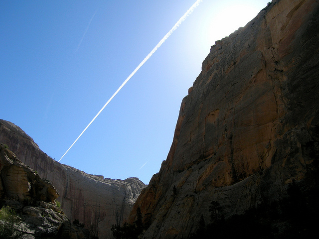
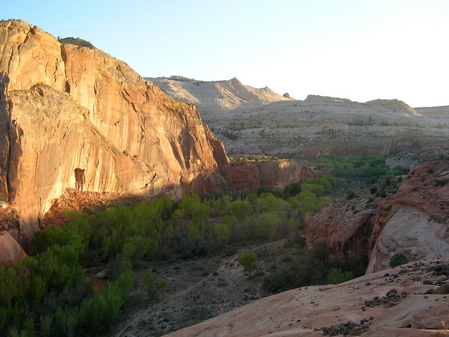
Half light in the canyon. The wall in the background is over 1200 feet tall.
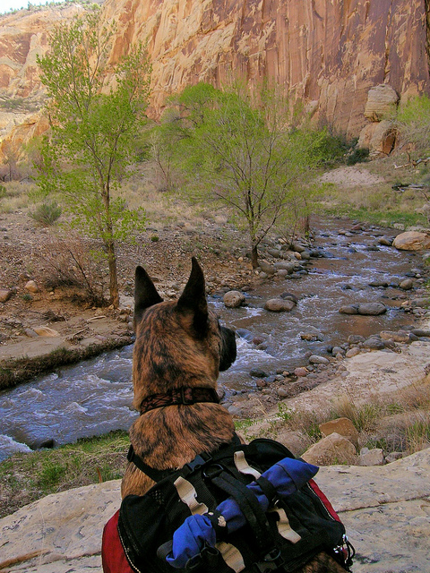
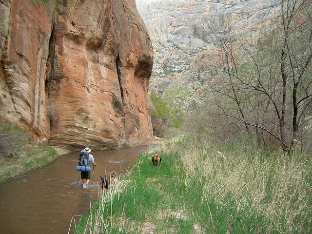
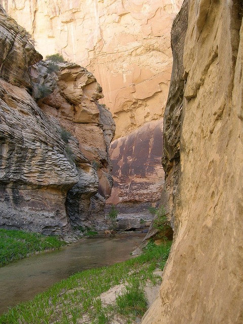
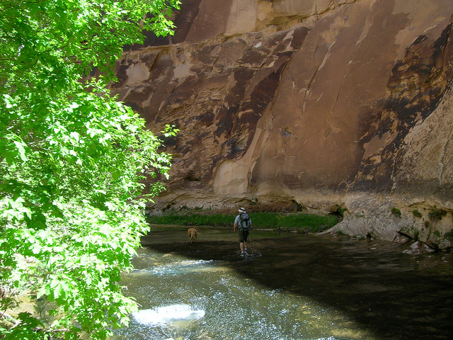
The trail is constantly in and out of the river through this portion of the canyon.
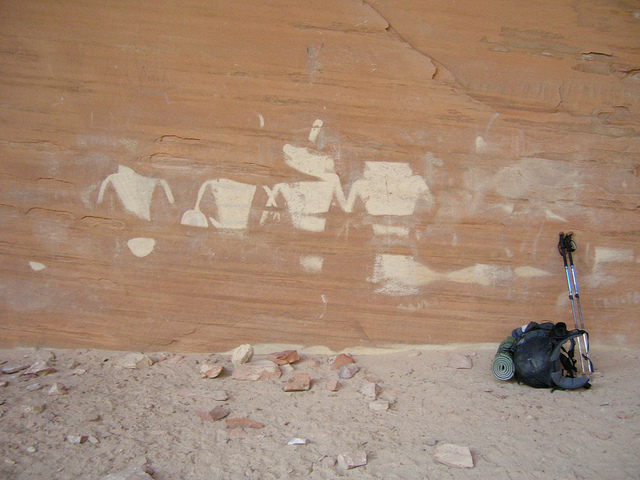
We found these pictographs in an alcove.
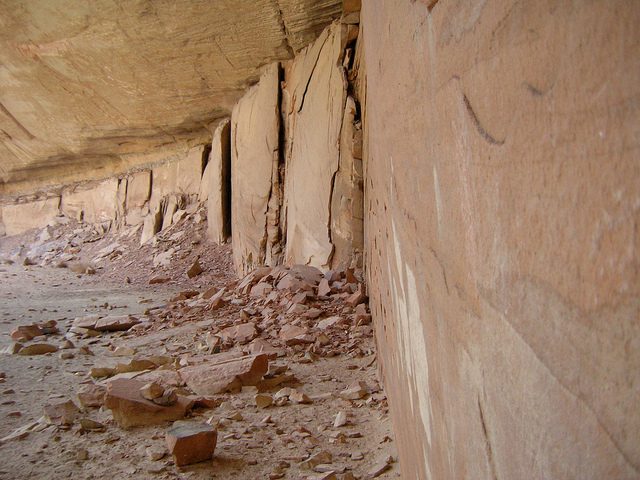
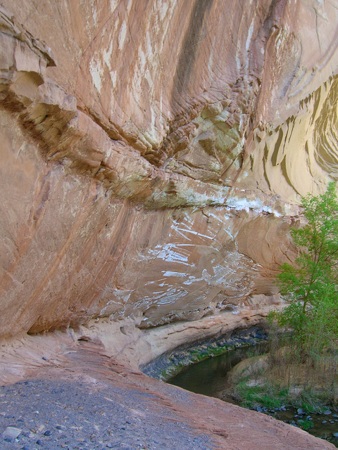
This was a very deep alcove, kind of freaky, it seems like it is in a constant state of crumbling.
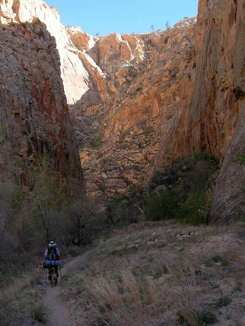
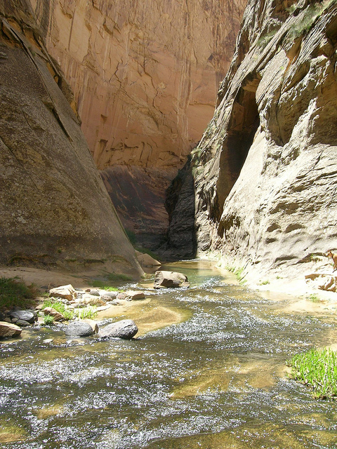
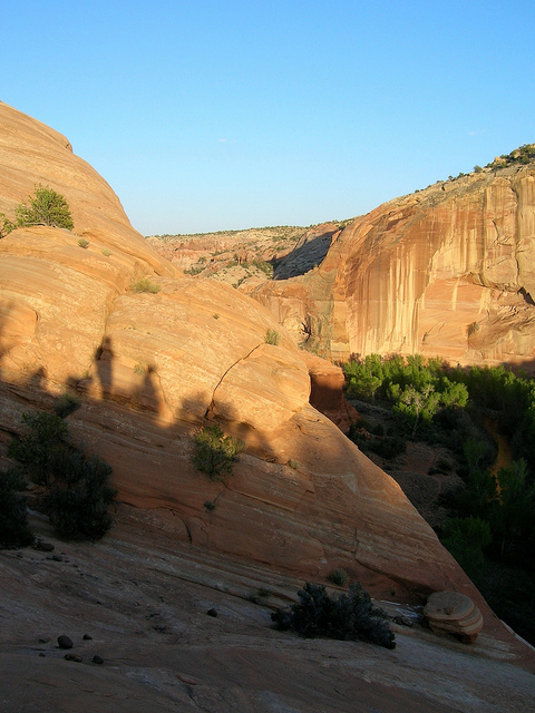
On down the canyon
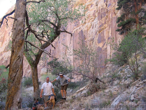
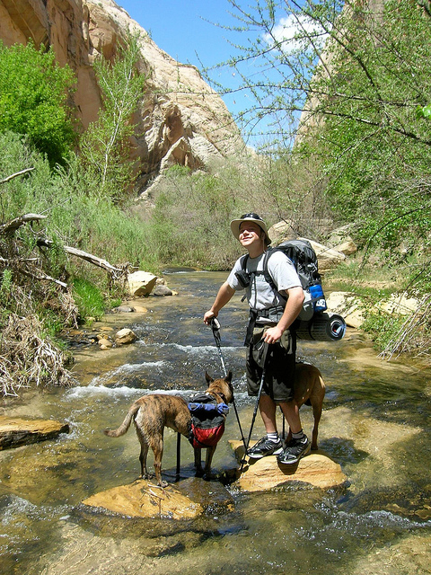
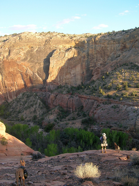
Another shot of Nate and the dogs hiking down the Escalante
Camp 2. This might not look so cozy but it was actually kind of nice to not camp in deep sand.
Sunrise comes late to the canyon floor.
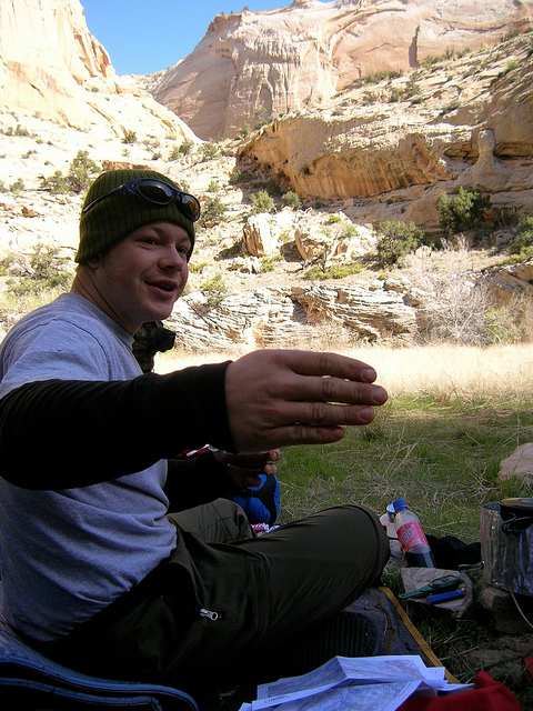
Having breakfast in the shade and Nate making some odd hand gesture.
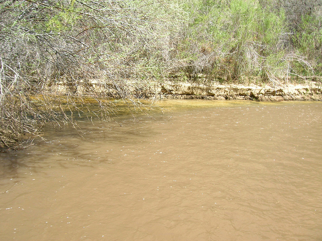
The next day we had just a few miles before our destination for the next night, Death Hollow. This is the confluence where Death Hollow meets the Escalante. Notice how clear the water is on the left.
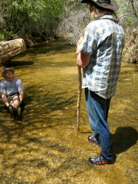
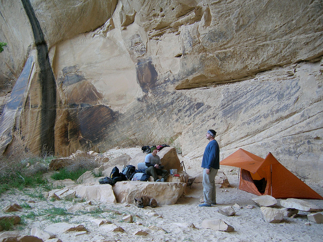
We met this person camping at the confluence of Death Hollow.
Nate seems pleased with our surroundings.
The woman we met at the bottom of Death Hollow had mentioned a decent camp site about a mile and a half up. I would call this far more than decent.
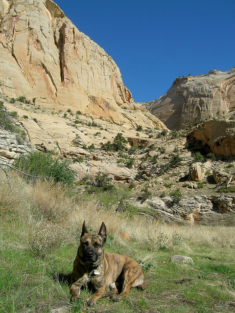
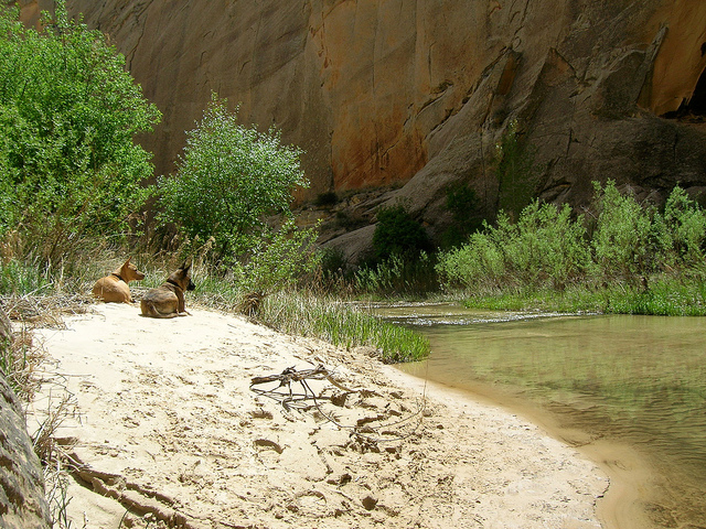
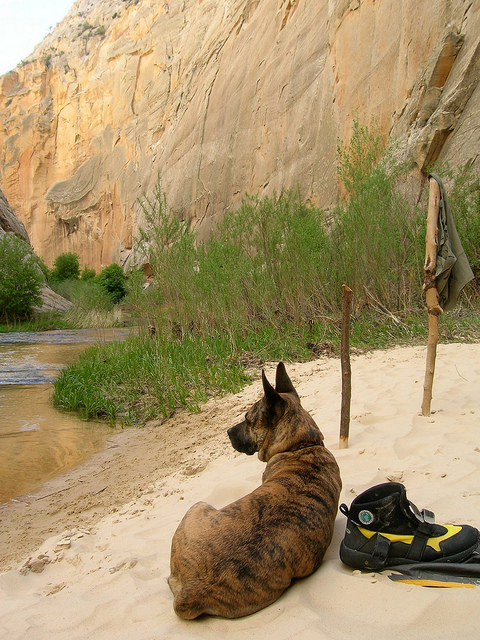
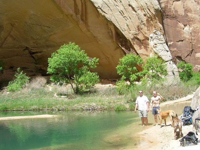
The dogs at the beach. Death Hollow starts at the foot of Boulder Mountain, an 11k foot mountain to the north of the monument. Death Hollow is unique because it actually has clean, clear water in it opposed to the brown, silty water you find everywhere else in the desert. This in my mind was the real destination.
So deep you could dive in head first!
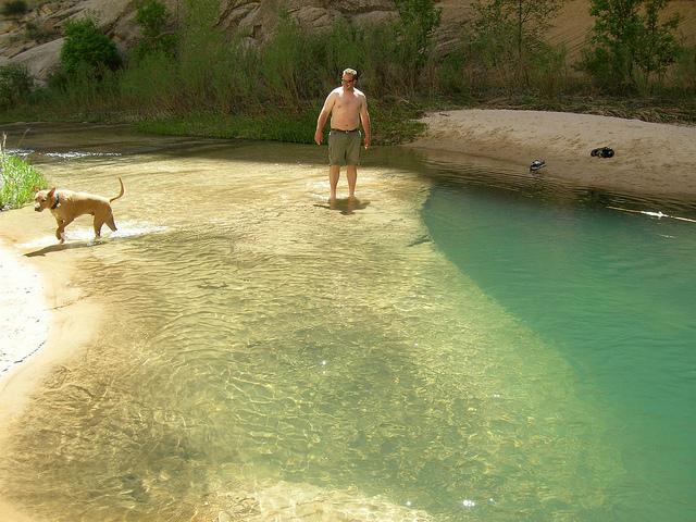
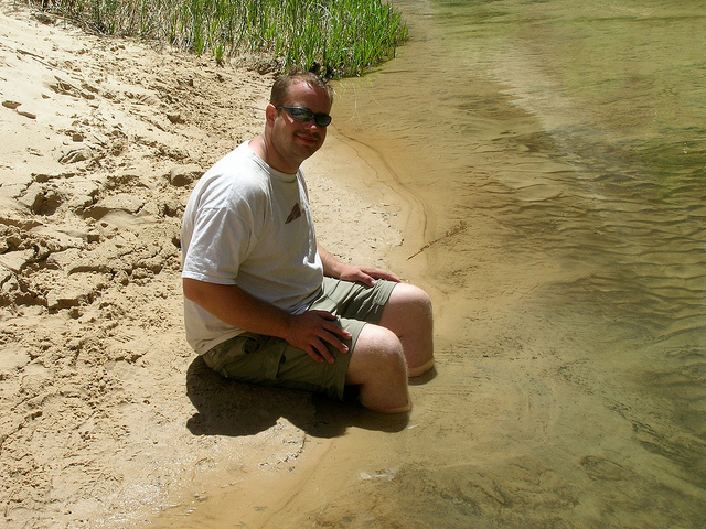
Nate and I chilling on the beach after a swim.
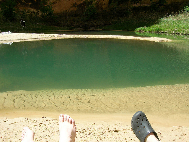
The only down side to these deep canyons is that the direct sunlight doesn't last long. Fortunately it was still pretty warm in the shade.
Camp 3. This one was hard to leave.
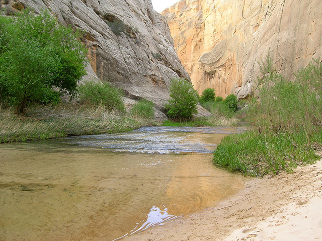
The view down Death Hollow from camp
The next day we hiked further up Death Hollow to the narrows area
Nate making his way through the narrows.
You have to watch your step here, underwater potholes in the rock can sneak up on you. Nikita actually fell into one, when she came up she was actually coughing up water, poor doggy

Back at the beach I felt like playing in the quicksand
We knew we had to get moving but we just didn't want to leave this spot.
It was inevitable, we had to go.
Looking back at the confluence of Death Hollow and The Escalante. Today we would hike 4-ish miles down the Escalante and camp at Sand Creek.
Hiking down the Escalante between Death Hollow and Sand Creek
It's a small world. We get to Sand Creek right and we havent seen a soul since the woman at Death Hollow more than 30 hours ago. Then we run into Boz from Cache High in Logan. I had never met him before but I had heard so much about him. He showed us this spring so we filled up everything we had. No filtration, no treatment. Best water of the trip. A little mossy though. This photo is of me filling up at the spring (not Boz).
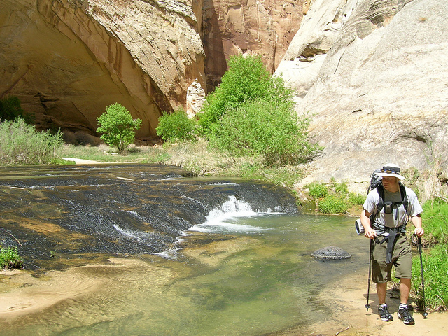
Sand Creek was tough to hike up, the trail is poor and the canyon is tight and heavily wooded. After a mile or so we realized that the school group was spread all over the canyon so we hiked back down the The Escalante.
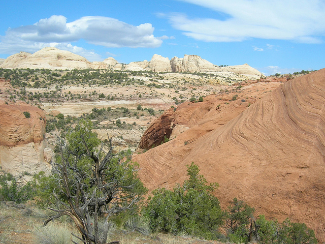
Due to the congestion in Sand Creek we decided to hike up out of the canyon and onto the plateau. Well worth the extra effort.
Shaddows over The Escalante
Looking back upstream at The Escalante where we had come from.
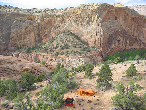
The next morning Nate climbed the slickrock above our camp and took this shot. Thanks Nate.
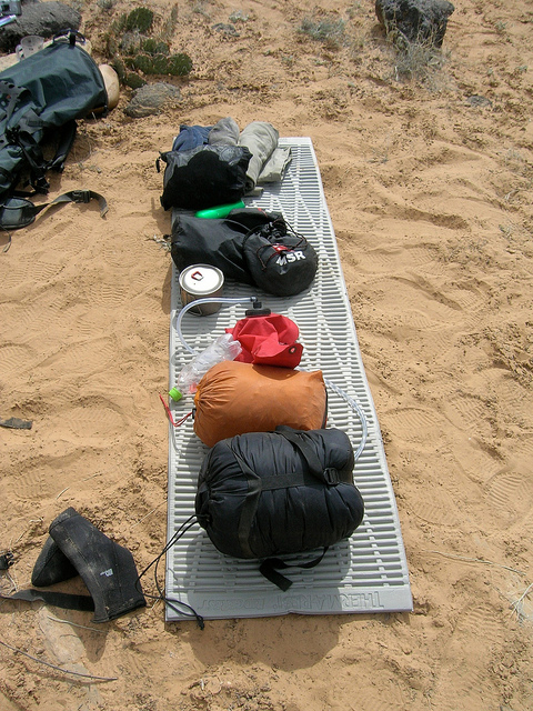
All you really need and a few things you don't.
Another view from camp
The view of the Escalante Gorge as we made our way back down to the trail.
Self-portrait as we descended back down to the floor of the Escalante. Photo by Nate.
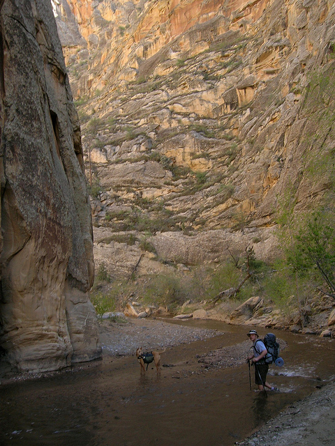
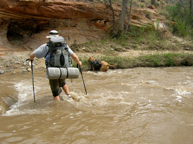
The Escalante River was much deeper after the Sand Creek confluence.
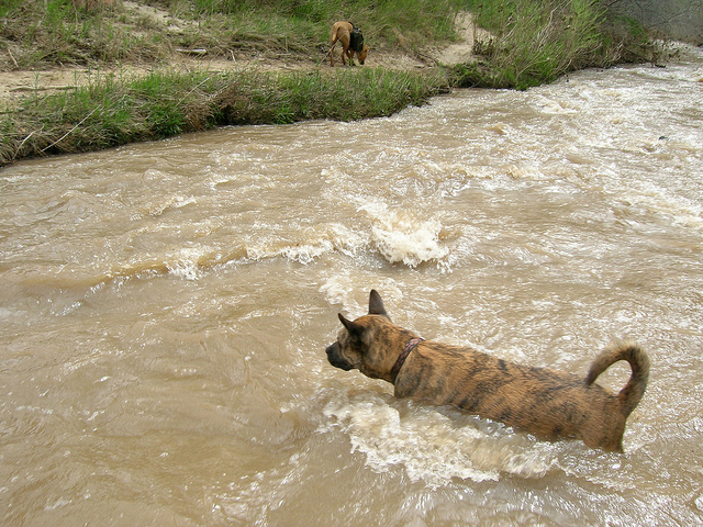
There were a few times when I thought I was going to have to carry Nikita.
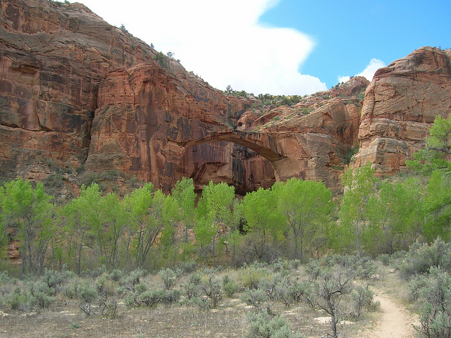
The Escalante Natural Bridge
What better way to finish a trip than beer and funyuns?
The Death Hollow/Escalante River Gorge is one of those areas that I am continually drawn to when I think about a backpacking trip in the desert. There really aren't that many places where you can bring the dogs, see outstanding scenery, drink clear water and still get so out there. I love this place.
We got a late start so it was dark by the time we decided to find car camp on the way to the Monument. This is somewhere outside of Scipio, how do you like our wood gathering method?
A decent shot of a campfire is hard to do. Nate took this picture of me at Camp 1.
Camp 1. We kind of picked a random road in the dark and were rather pleased to see this when morning came.
Another shot of camp. It was awesome to wake up here.
Highway 12 at it's finest. Oh and the self-portrait isn't too bad either.
The trailhead. Escalante is the town in the background. I sat here with the dogs and gear for a little over an hour while Nate dropped the car and hitch hiked back. Go Nate!
One of many self portraits on this trip. We started late the first day so we only got in 3 or 4 miles before setting up camp.
The Escalante River Gorge
Taking a break in the shade
Timed self portrait gone wrong courtesy of Nate.
Half light in the canyon. The wall in the background is over 1200 feet tall.
The trail is constantly in and out of the river through this portion of the canyon.
We found these pictographs in an alcove.
This was a very deep alcove, kind of freaky, it seems like it is in a constant state of crumbling.
On down the canyon
Another shot of Nate and the dogs hiking down the Escalante
Camp 2. This might not look so cozy but it was actually kind of nice to not camp in deep sand.
Sunrise comes late to the canyon floor.
Having breakfast in the shade and Nate making some odd hand gesture.
The next day we had just a few miles before our destination for the next night, Death Hollow. This is the confluence where Death Hollow meets the Escalante. Notice how clear the water is on the left.
We met this person camping at the confluence of Death Hollow.
Nate seems pleased with our surroundings.
The woman we met at the bottom of Death Hollow had mentioned a decent camp site about a mile and a half up. I would call this far more than decent.
The dogs at the beach. Death Hollow starts at the foot of Boulder Mountain, an 11k foot mountain to the north of the monument. Death Hollow is unique because it actually has clean, clear water in it opposed to the brown, silty water you find everywhere else in the desert. This in my mind was the real destination.
So deep you could dive in head first!
Nate and I chilling on the beach after a swim.
The only down side to these deep canyons is that the direct sunlight doesn't last long. Fortunately it was still pretty warm in the shade.
Camp 3. This one was hard to leave.
The view down Death Hollow from camp
The next day we hiked further up Death Hollow to the narrows area
Nate making his way through the narrows.
You have to watch your step here, underwater potholes in the rock can sneak up on you. Nikita actually fell into one, when she came up she was actually coughing up water, poor doggy
Back at the beach I felt like playing in the quicksand
We knew we had to get moving but we just didn't want to leave this spot.
It was inevitable, we had to go.
Looking back at the confluence of Death Hollow and The Escalante. Today we would hike 4-ish miles down the Escalante and camp at Sand Creek.
Hiking down the Escalante between Death Hollow and Sand Creek
It's a small world. We get to Sand Creek right and we havent seen a soul since the woman at Death Hollow more than 30 hours ago. Then we run into Boz from Cache High in Logan. I had never met him before but I had heard so much about him. He showed us this spring so we filled up everything we had. No filtration, no treatment. Best water of the trip. A little mossy though. This photo is of me filling up at the spring (not Boz).
Sand Creek was tough to hike up, the trail is poor and the canyon is tight and heavily wooded. After a mile or so we realized that the school group was spread all over the canyon so we hiked back down the The Escalante.
Due to the congestion in Sand Creek we decided to hike up out of the canyon and onto the plateau. Well worth the extra effort.
Shaddows over The Escalante
Looking back upstream at The Escalante where we had come from.
The next morning Nate climbed the slickrock above our camp and took this shot. Thanks Nate.
All you really need and a few things you don't.
Another view from camp
The view of the Escalante Gorge as we made our way back down to the trail.
Self-portrait as we descended back down to the floor of the Escalante. Photo by Nate.
The Escalante River was much deeper after the Sand Creek confluence.
There were a few times when I thought I was going to have to carry Nikita.
The Escalante Natural Bridge
What better way to finish a trip than beer and funyuns?
")