- Joined
- Dec 23, 2013
- Messages
- 4,285
I headed up to Lewiston in Cache Valley on Friday with Sheila so that she could ride the Little Red bicycle ride on Saturday morning. While she road, I headed over to the Mount Naomi Wilderness in the Bear River Range to hike up the South Fork of High Creek. The South Fork of High Creek was living up to its name this time of year, and when I reached the second crossing I had to turn back due to deep, raging water. I then backtracked to the intersection with the Middle Fork Trail and headed up towards Middle Fork Falls. Unfortunately, I hit my turn around time before reaching the falls. Wildflowers, particularly glacier lilies and canary violets were abundant along the trail. After I turned around and started heading back to the trailhead, a group of Utah State University students passed me and told me that I had been within a quarter mile of the falls. I guess I'll just have to reach them next year.  I hiked back down to the Subaru parked at the trailhead and drove back to Lewiston, where I picked up my camp chair and headed to the finish line to wait for Sheila. I had just barely set up my chair and started to eat an apple when Sheila turned the corner from Main Street onto Center Street heading to the finish. Afterwards, we packed up our tent and headed over to Gossner's for some cheese curd. We bought three kinds: smoked, jalapeno, and ranch to bring home to munch on over the next few days.

And she is off!
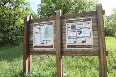
And I am off the the trailhead
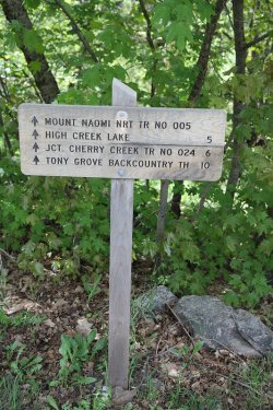
Can get all the way to Tony Grove from the High Creek Trailhead
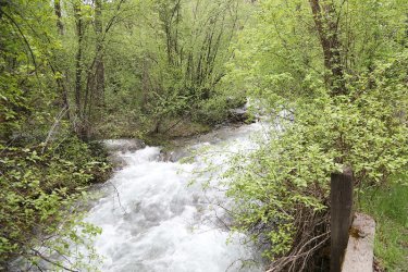
The South Fork of High Creek
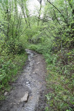
A stream running down the trail at the beginning
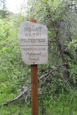
Crossing the wilderness boundary
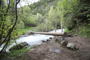
The first crossing of the South Fork was easy enough.
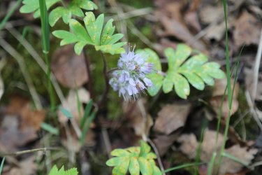
Ball-head waterleaf were abundant too
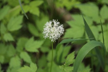
Baneberry
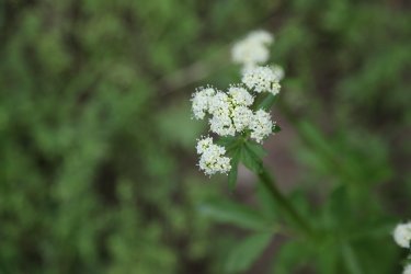
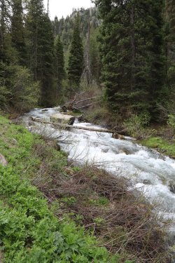
More South Fork
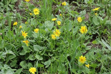
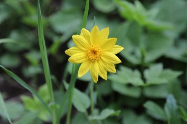
Arnica
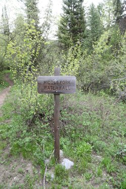
Middle Fork Trail junction
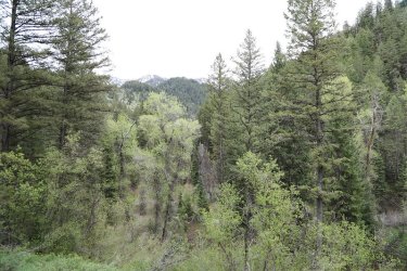
Looks like the taller peaks in the range still have some good snow on them
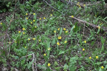
Glacier lilies
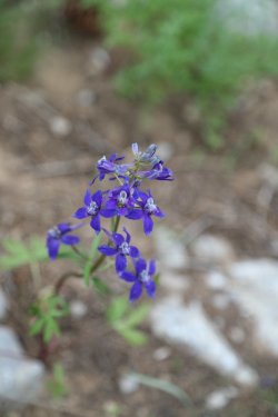
Larkspur
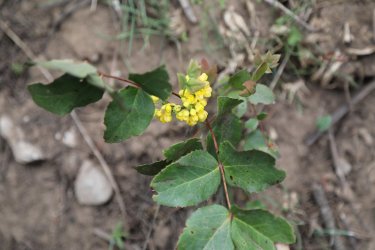
Oregon grape
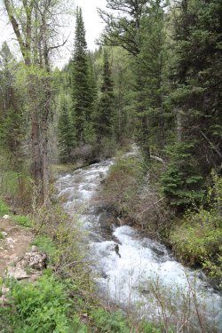
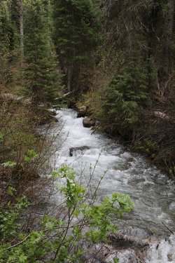
When I'm hiking along a creek, I get lots of creek pictures. What can I say?
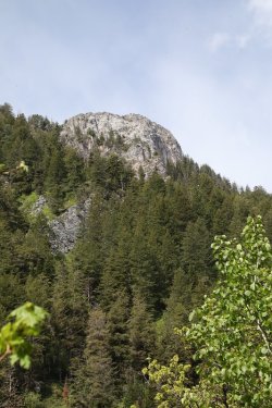
An occasional view above
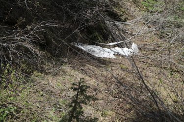
Snow on Middle Fork
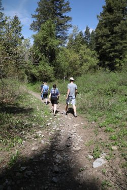
Fellow Aggies that passed me after I turned around
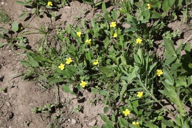
More violets
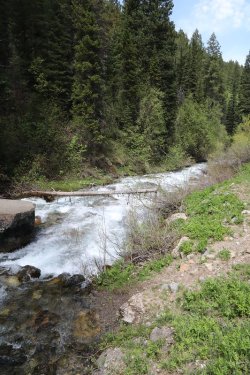
One last shot of the South Fork
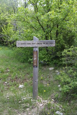
Another option at the High Creek Trailhead is the North Fork High Creek Trail. I'll have
to give that a go sometime in the future.
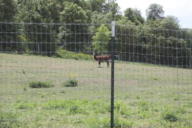
A Llama on my way back to Lewiston
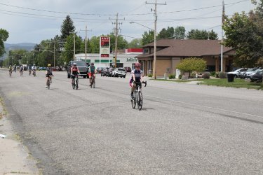
The final stretch on Center Street.

Congrats! Cold towel and a lemonade should do the trick!
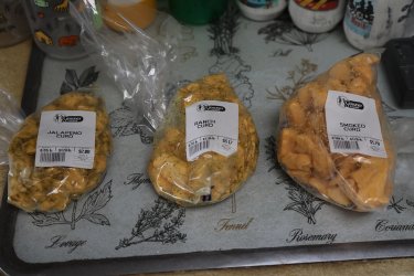
The curd makes it home.

And she is off!

And I am off the the trailhead

Can get all the way to Tony Grove from the High Creek Trailhead

The South Fork of High Creek

A stream running down the trail at the beginning

Crossing the wilderness boundary

The first crossing of the South Fork was easy enough.

Ball-head waterleaf were abundant too

Baneberry


More South Fork


Arnica

Middle Fork Trail junction

Looks like the taller peaks in the range still have some good snow on them

Glacier lilies

Larkspur

Oregon grape


When I'm hiking along a creek, I get lots of creek pictures. What can I say?

An occasional view above

Snow on Middle Fork

Fellow Aggies that passed me after I turned around

More violets

One last shot of the South Fork

Another option at the High Creek Trailhead is the North Fork High Creek Trail. I'll have
to give that a go sometime in the future.

A Llama on my way back to Lewiston

The final stretch on Center Street.

Congrats! Cold towel and a lemonade should do the trick!

The curd makes it home.
Last edited:
