- Joined
- May 5, 2012
- Messages
- 1,735
Hey there. Long time, no post.
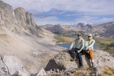
Just back from a long walkabout in the Winds with my brother. Green River Lakes to Big Sandy via a sorta highish route.
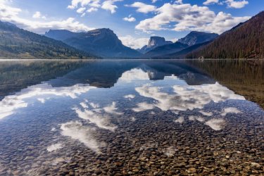
Around 75 miles. Roughly 14,000 feet of vert. Millions of boulders.
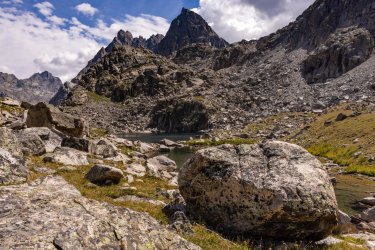
About half and half, on-trail versus not.
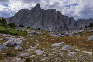
Skipped Titcomb (didn't want to deal with Knapsack Col) and Cirque of the Towers (socked in with weather), but having visited both previously this wasn't an issue.
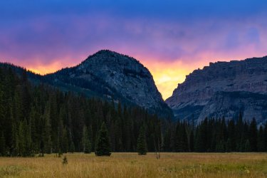
Rather than the typical high route over Indian Pass and across Alpine Lakes Basin, we went over the less-traveled Angel Pass.
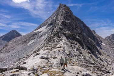
Highlight of the route was the stretch between Middle and East Forks via Bonneville Basin.
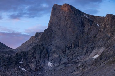
Spent a lot of time thinking about how critical these mountains are as headwaters for millions of Americans, yet how relatively unknown they are.
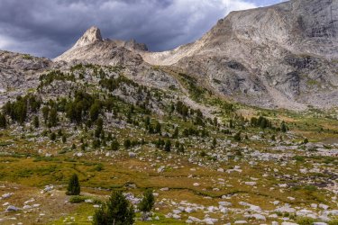
Spent as much time wondering how our land management policies might differ if the people elected to make those decisions were forced to actually sweat and suffer across these passes on their own their flabby, phlebitic limbs. Maybe it would clear the cholesterol from our body politic.
Just back from a long walkabout in the Winds with my brother. Green River Lakes to Big Sandy via a sorta highish route.
Around 75 miles. Roughly 14,000 feet of vert. Millions of boulders.
About half and half, on-trail versus not.
Skipped Titcomb (didn't want to deal with Knapsack Col) and Cirque of the Towers (socked in with weather), but having visited both previously this wasn't an issue.
Rather than the typical high route over Indian Pass and across Alpine Lakes Basin, we went over the less-traveled Angel Pass.
Highlight of the route was the stretch between Middle and East Forks via Bonneville Basin.
Spent a lot of time thinking about how critical these mountains are as headwaters for millions of Americans, yet how relatively unknown they are.
Spent as much time wondering how our land management policies might differ if the people elected to make those decisions were forced to actually sweat and suffer across these passes on their own their flabby, phlebitic limbs. Maybe it would clear the cholesterol from our body politic.
Last edited: