Udink
Still right here.
- Joined
- Jan 17, 2012
- Messages
- 1,748
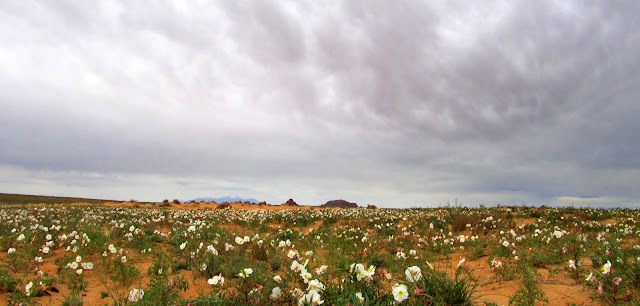
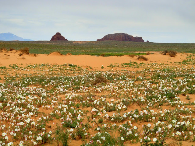
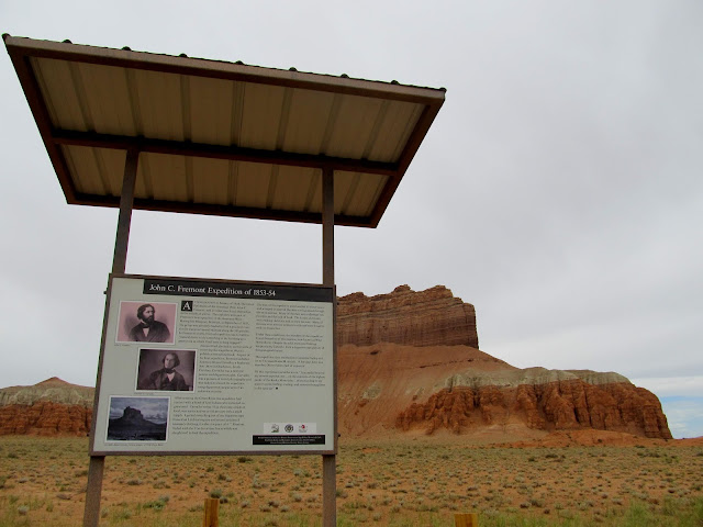
I forced myself to go hiking this past weekend. I woke up on Saturday feeling lethargic, with the threat of bad weather looming. However, I had stayed home the previous weekend and I knew I'd regret doing so two weekends in a row. I got myself and the dogs ready and started out late for a day hike in the San Rafael Reef. During the drive south I saw a familiar vehicle parked at Woodside and hit the brakes. I knew Listorama was in Utah but didn't expect to see him so soon. We chatted for a while and talked about getting together in the next week or two for a hike in the Moab area. I got back underway and made good time to the Goblin Valley area, stopping for a few photos of the large fields of primrose blooming in the San Rafael Desert along the Temple Mountain road. I also stopped at the new kiosk that Wade had spearheaded, detailing John C. Fremont's fifth expedition and Solomon Carvalho's daguerreotype photography. While stopped at the kiosk another couple had pulled in, and I heard one of them ask, "Are you Udink?" It turned out to be a couple from the Denver area who reads my blog and recognized the Jeep. We talked for a bit about what they'd been doing--exploring a bit of the northern Swell for the weekend--before they started off for home. I continued on to my parking spot on the Little Wild Horse road and started hiking right at noon.
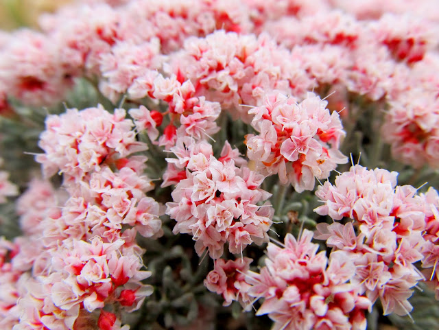
Primrose blooms across the San Rafael Desert, with the Henry Mountains and Gilson Buttes on the horizon
Gilson Buttes over a field of primrose
Kiosk at Wild Horse Butte
Parked at my starting point at noon

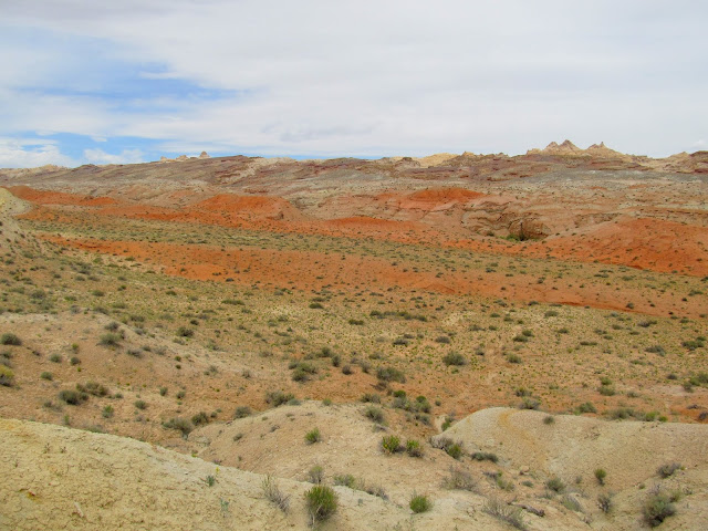
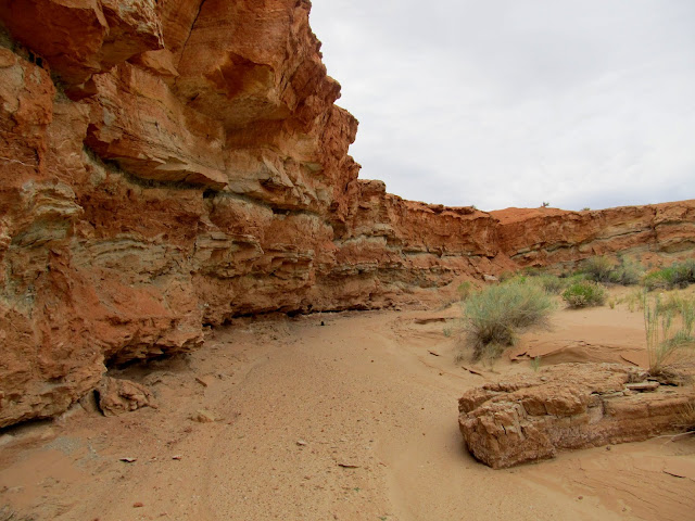
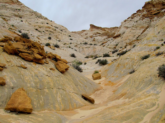
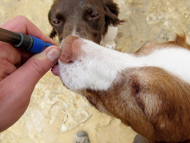
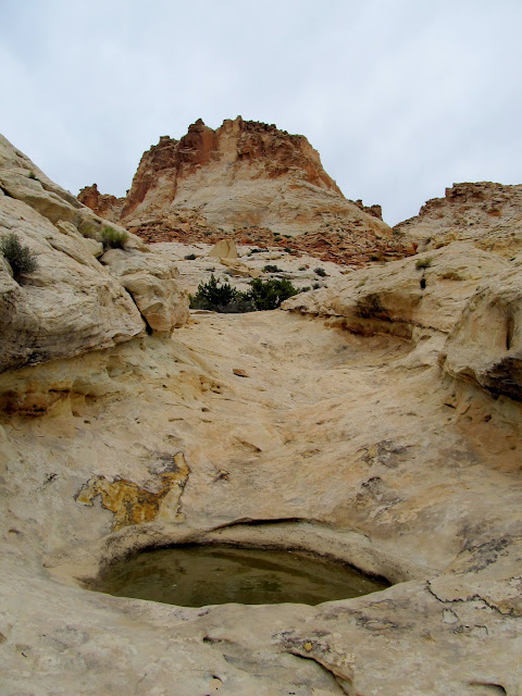
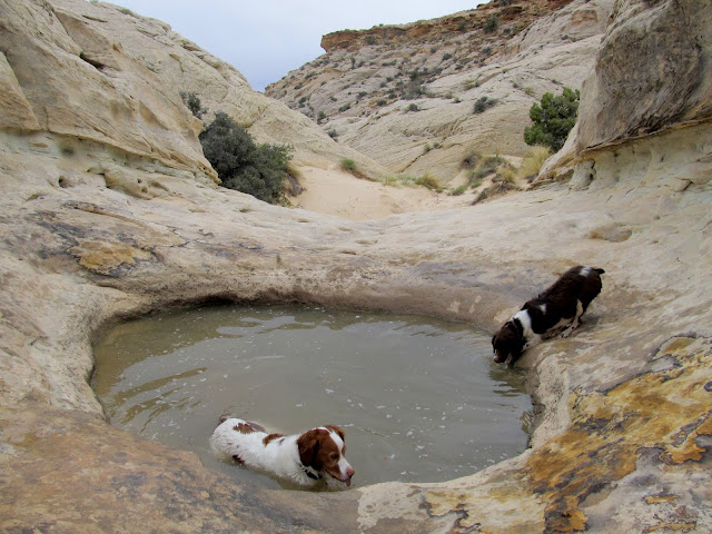
I was really hoping to duplicate the success I had on a previous hike in the same area a year ago. I'll spare you the suspense: I didn't find any rock art on this trip, but everything else was ridiculously similar to the previous trip. There were many wildflowers blooming in the desert. Pinks, reds, oranges, purples, and yellows were abundant everywhere. I hiked through some ugly Carmel Formation terrain before reaching the Navajo Sandstone that I love. I had to dip into the four liters of water that I always carry so the dogs could get a drink, just before reaching a large pothole where they could get their fill.
Colorful Carmel Formation foothills at the base of the Reef
Buckwheat
Hiking in a wash of Carmel Formation layers
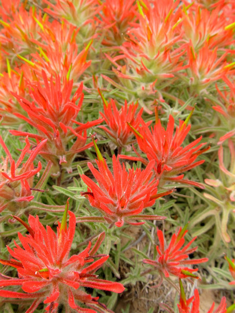
Indian Paintbrush
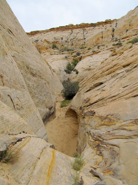
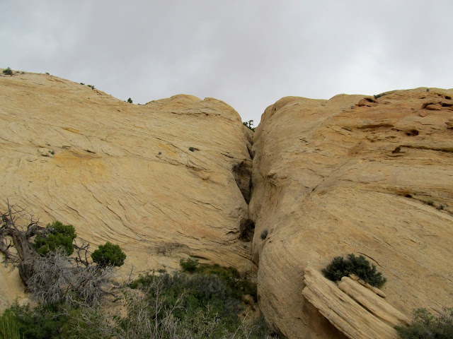
Entering a canyon of Navajo Sandstone

Carmel rubble on top of Navajo Sandstone
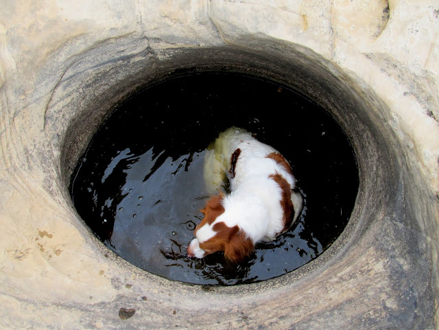
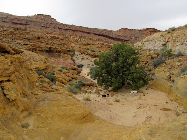
Giving the doggies a drink
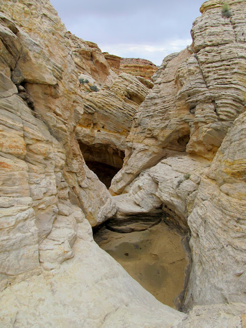
Pothole
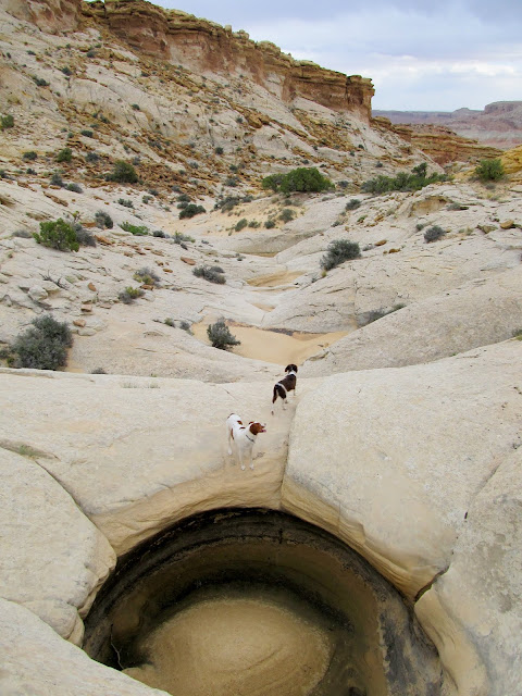
Torrey and Boulder drinking from a pothole
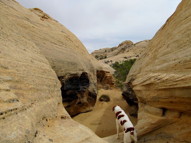
With this being a relatively small drainage there were a lot of small obstacles to be overcome. I scrambled up dryfalls and around potholes before reaching the head of the drainage I was ascending. At one dryfall I had to literally throw Boulder over my head to get her up it. Torrey clawed her way up on her own, but Boulder doesn't yet know her own strength. Once at the head of the drainage it was a short walk to a spot overlooking Little Wild Horse Canyon. I had reached a similar overlook last fall above the main narrows of Little Wild Horse, but this time I was above the upper end of the narrows. I stopped there for a snack, and fed and watered the pups.
10' dryfall that was moderately difficult to climb
Torrey in a pothole
Head of the drainage
Final climb to my highest point of the hike
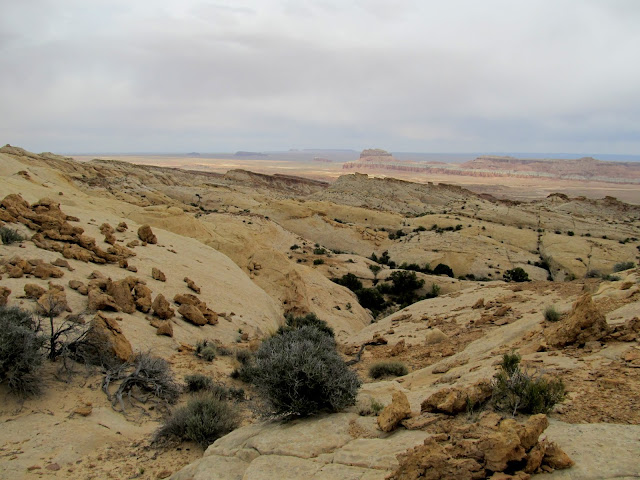
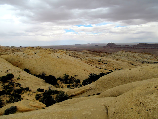
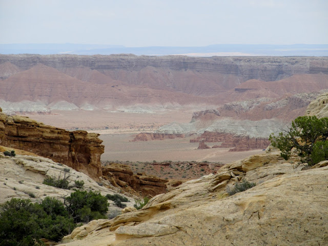
View down the Reef into the flat desert
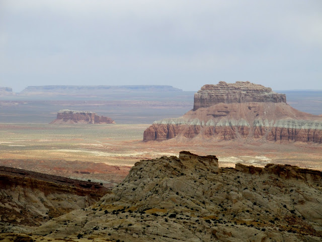
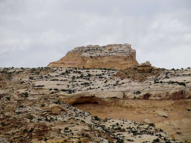
Molly's Castle and Wild Horse Butte
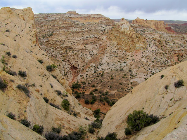
Little Wild Horse Canyon
Upper end of Little Wild Horse Canyon slot
High point of the San Rafael Reef between Bell and Little Wild Horse canyons
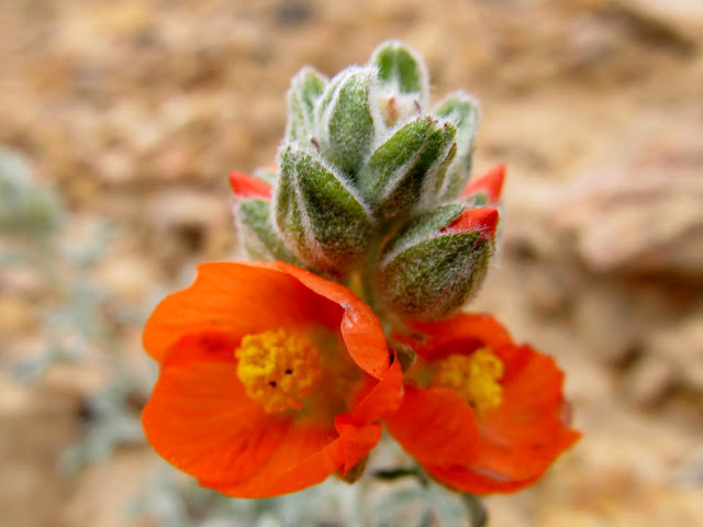
Globemallow
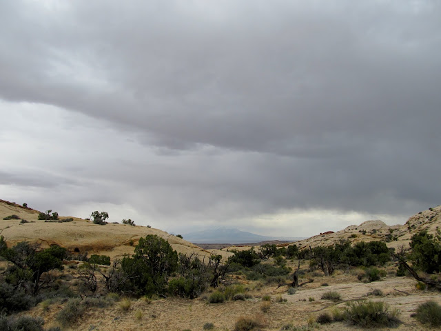
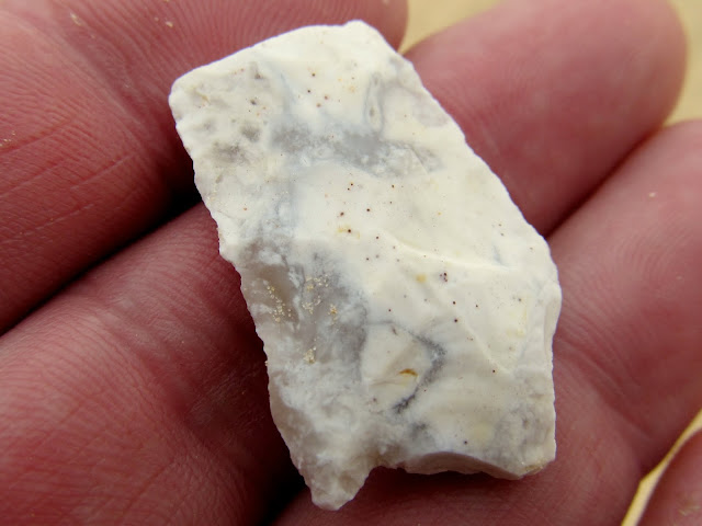
Dark clouds were moving in as I began descending the Reef. I hurried, hoping to not get soaked, but the weather man was wrong in his forecast. I never got more than a heavy sprinkling of rain for a brief moment, but most of the time conditions were dry with dark, dramatic skies. There were more potholes and dryfalls to avoid during the descent. I wasn't looking as closely as I normally would for rock art in the lower Reef, though I saw a couple of spots I wouldn't mind checking out more closely under better conditions. I found a broken arrowhead that almost made my day, but nothing was better than seeing the Jeep as I crested the final hill before completing the hike.
Darker clouds moving in from the south
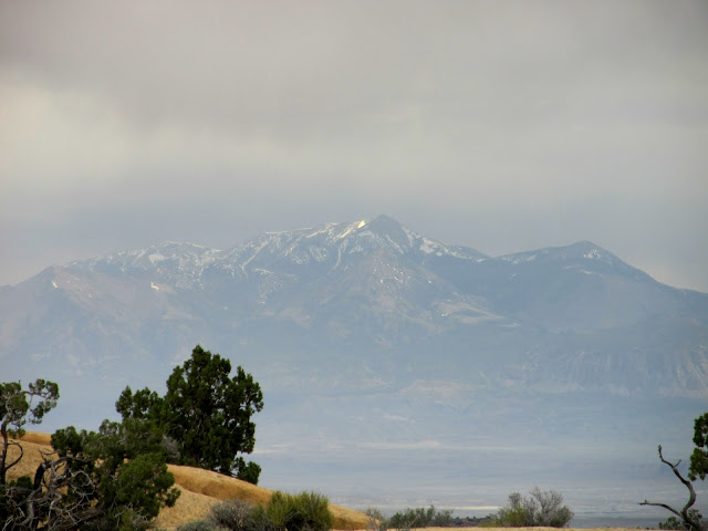
Henry Mountains
Factory Butte

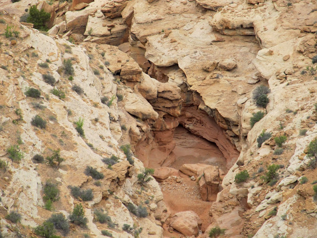
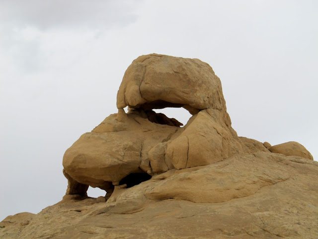
Hump Arch
Patches of blue sky showing to the east
Torrey above a big dryfall
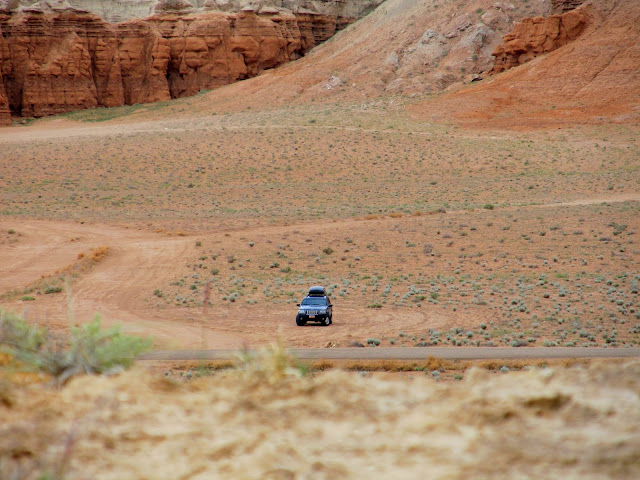
Peeking down at my parking spot
Ooh, a pretty rock!
The dogs and a pothole
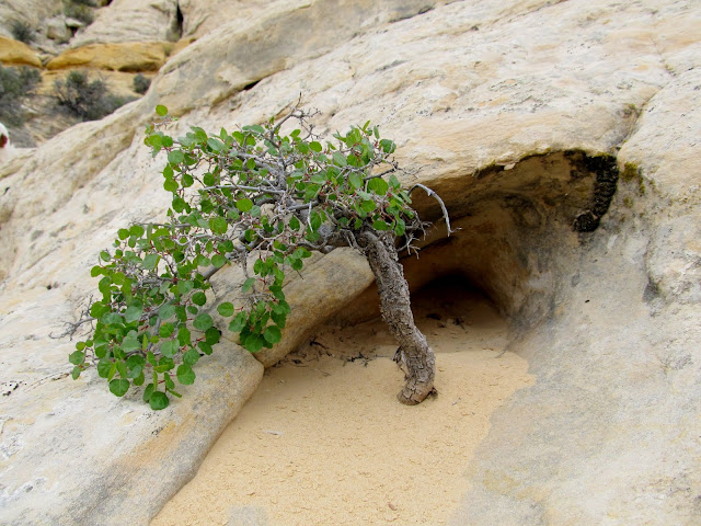
Shrub growing in a small pocket of sand
A series of impassible potholes
Leaving the Navajo Sandstone behind
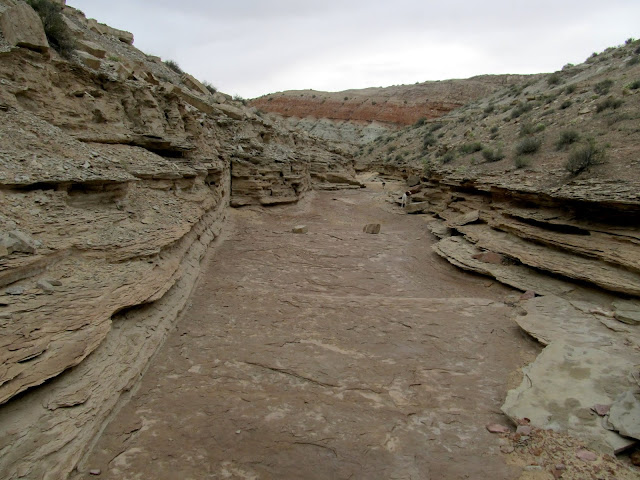
Carmel Formation sidewalk
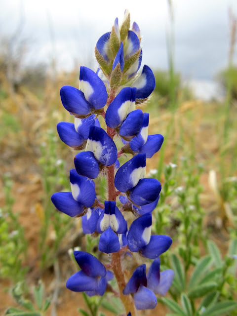
Lupinus pusillus (Lupine)
Amost done!
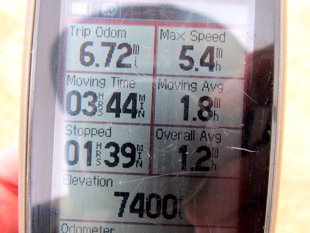
GPS stats for the hike (obviously the altimeter needed to be calibrated). It was a very rugged 6.72 miles.
Full photo gallery: https://picasaweb.google.com/Dennis.Udink/SanRafaelReef
[parsehtml]<iframe width="640" height="480" frameborder="0" scrolling="no" marginheight="0" marginwidth="0" src="https://maps.google.com/maps?q=http:%2F%2Fudink.org%2Fgeo%2FSanRafaelReef.kmz&hl=en&sll=39.60063,-110.806334&sspn=0.082137,0.169086&t=h&ie=UTF8&ll=38.592523,-110.779266&spn=0.04166,0.084543&output=embed"></iframe><br /><small><a href="https://maps.google.com/maps?q=http:%2F%2Fudink.org%2Fgeo%2FSanRafaelReef.kmz&hl=en&sll=39.60063,-110.806334&sspn=0.082137,0.169086&t=h&ie=UTF8&ll=38.592523,-110.779266&spn=0.04166,0.084543&source=embed" style="color:#0000FF;text-align:left">View Larger Map</a></small>[/parsehtml]http://udink.org/geo/SanRafaelReef.kmz
Primrose blooms across the San Rafael Desert, with the Henry Mountains and Gilson Buttes on the horizon
Gilson Buttes over a field of primrose
Kiosk at Wild Horse Butte
Parked at my starting point at noon
I was really hoping to duplicate the success I had on a previous hike in the same area a year ago. I'll spare you the suspense: I didn't find any rock art on this trip, but everything else was ridiculously similar to the previous trip. There were many wildflowers blooming in the desert. Pinks, reds, oranges, purples, and yellows were abundant everywhere. I hiked through some ugly Carmel Formation terrain before reaching the Navajo Sandstone that I love. I had to dip into the four liters of water that I always carry so the dogs could get a drink, just before reaching a large pothole where they could get their fill.
Colorful Carmel Formation foothills at the base of the Reef
Buckwheat
Hiking in a wash of Carmel Formation layers
Indian Paintbrush
Entering a canyon of Navajo Sandstone
Carmel rubble on top of Navajo Sandstone
Giving the doggies a drink
Pothole
Torrey and Boulder drinking from a pothole
With this being a relatively small drainage there were a lot of small obstacles to be overcome. I scrambled up dryfalls and around potholes before reaching the head of the drainage I was ascending. At one dryfall I had to literally throw Boulder over my head to get her up it. Torrey clawed her way up on her own, but Boulder doesn't yet know her own strength. Once at the head of the drainage it was a short walk to a spot overlooking Little Wild Horse Canyon. I had reached a similar overlook last fall above the main narrows of Little Wild Horse, but this time I was above the upper end of the narrows. I stopped there for a snack, and fed and watered the pups.
10' dryfall that was moderately difficult to climb
Torrey in a pothole
Head of the drainage
Final climb to my highest point of the hike
View down the Reef into the flat desert
Molly's Castle and Wild Horse Butte
Little Wild Horse Canyon
Upper end of Little Wild Horse Canyon slot
High point of the San Rafael Reef between Bell and Little Wild Horse canyons
Globemallow
Dark clouds were moving in as I began descending the Reef. I hurried, hoping to not get soaked, but the weather man was wrong in his forecast. I never got more than a heavy sprinkling of rain for a brief moment, but most of the time conditions were dry with dark, dramatic skies. There were more potholes and dryfalls to avoid during the descent. I wasn't looking as closely as I normally would for rock art in the lower Reef, though I saw a couple of spots I wouldn't mind checking out more closely under better conditions. I found a broken arrowhead that almost made my day, but nothing was better than seeing the Jeep as I crested the final hill before completing the hike.
Darker clouds moving in from the south
Henry Mountains
Factory Butte
Hump Arch
Patches of blue sky showing to the east
Torrey above a big dryfall
Peeking down at my parking spot
Ooh, a pretty rock!
The dogs and a pothole
Shrub growing in a small pocket of sand
A series of impassible potholes
Leaving the Navajo Sandstone behind
Carmel Formation sidewalk
Lupinus pusillus (Lupine)
Amost done!
GPS stats for the hike (obviously the altimeter needed to be calibrated). It was a very rugged 6.72 miles.
Full photo gallery: https://picasaweb.google.com/Dennis.Udink/SanRafaelReef
[parsehtml]<iframe width="640" height="480" frameborder="0" scrolling="no" marginheight="0" marginwidth="0" src="https://maps.google.com/maps?q=http:%2F%2Fudink.org%2Fgeo%2FSanRafaelReef.kmz&hl=en&sll=39.60063,-110.806334&sspn=0.082137,0.169086&t=h&ie=UTF8&ll=38.592523,-110.779266&spn=0.04166,0.084543&output=embed"></iframe><br /><small><a href="https://maps.google.com/maps?q=http:%2F%2Fudink.org%2Fgeo%2FSanRafaelReef.kmz&hl=en&sll=39.60063,-110.806334&sspn=0.082137,0.169086&t=h&ie=UTF8&ll=38.592523,-110.779266&spn=0.04166,0.084543&source=embed" style="color:#0000FF;text-align:left">View Larger Map</a></small>[/parsehtml]http://udink.org/geo/SanRafaelReef.kmz