hatchcanyon
Member
- Joined
- May 29, 2013
- Messages
- 136
May 2013!
Coming from the Goblin Valley area over Clay Hills Road we reached the point where this road intersects with Coal Mine Road on Factory Bench. (Utah, Emery and Wayne County). At this place (12S 0506411 4261697) a third road goes the the southwest skirting North Caineville Reef. This one is said to be a dead end but this might not be true. Rumors are that there is an old connection to Last Cahnce Wash between Cathedral Valley and I 70 to the north. We found some mostly short spurs leading into nowhere. Years ago driving into Salt Wash Canyon was possible up to some springs but we decided to turn around at this place.
The trip started in the early evening around 6 pm. Wonderful evening light for colorful rocks.
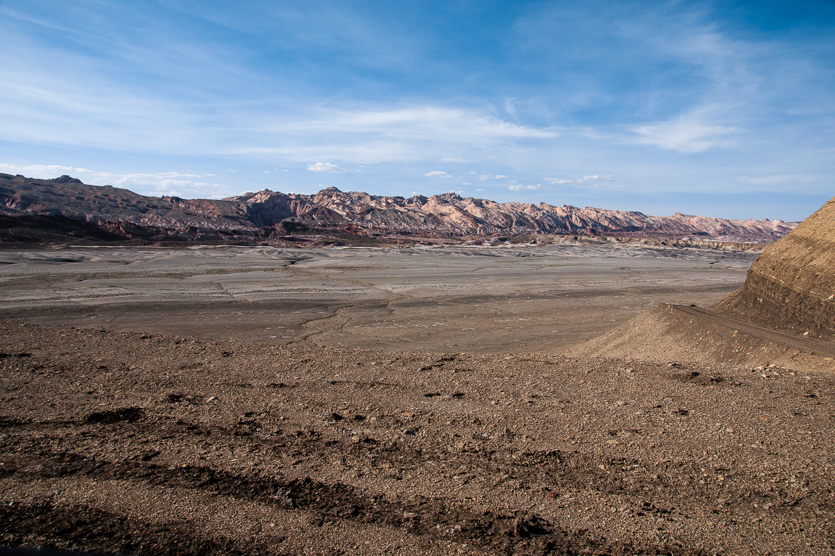
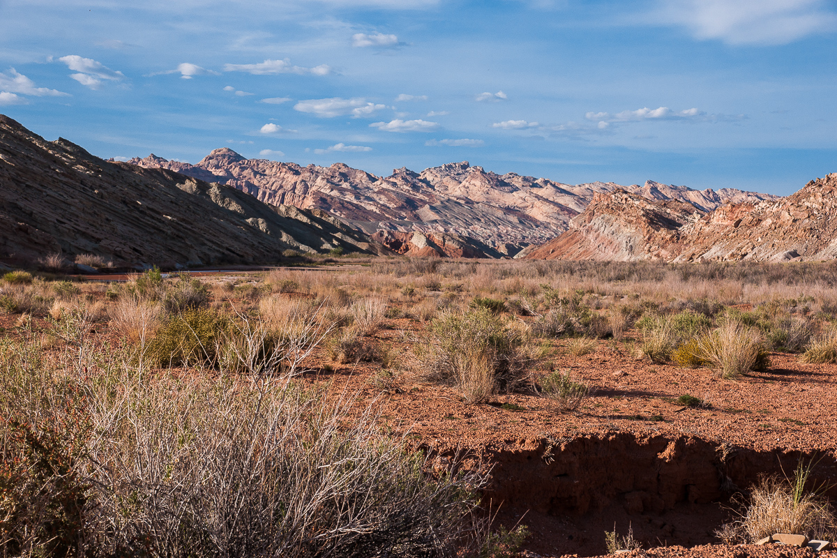
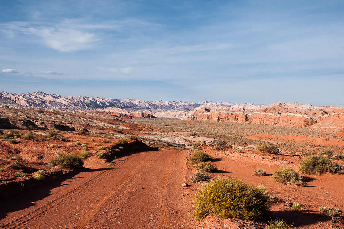
The road starts here, but the one seen on the right side is Clay Hills road
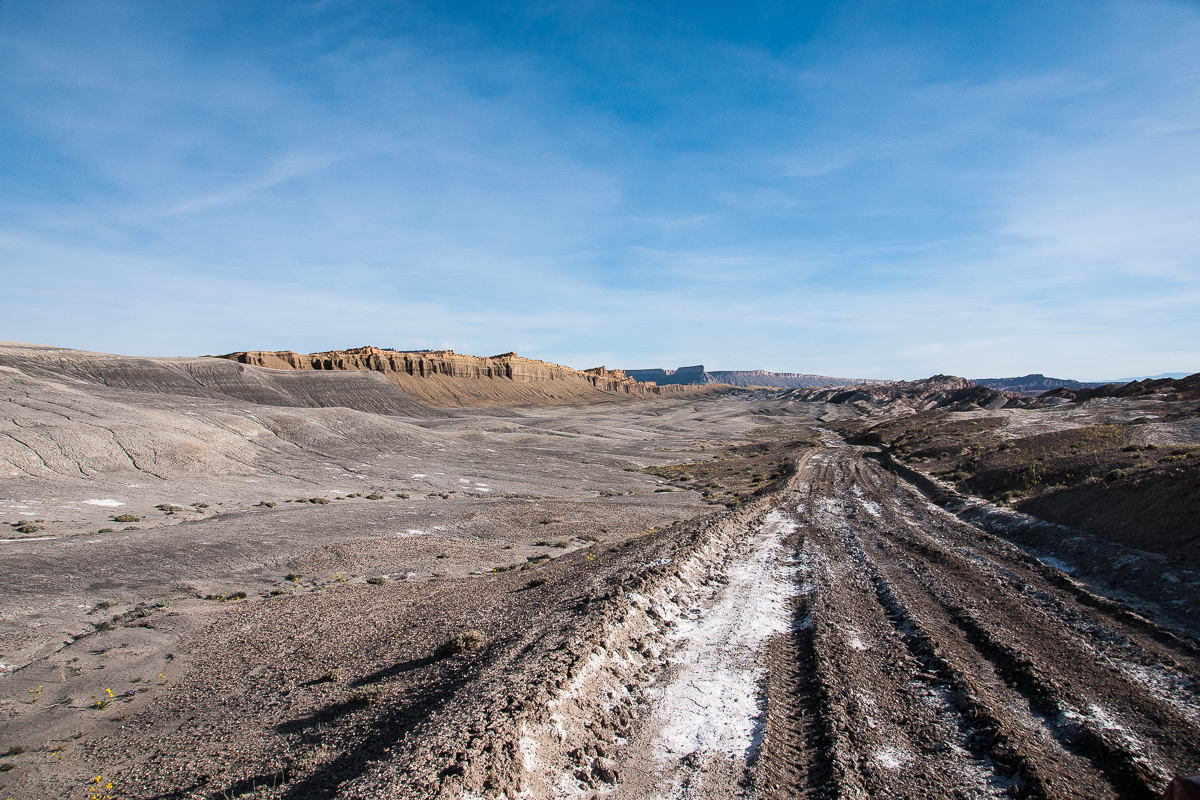
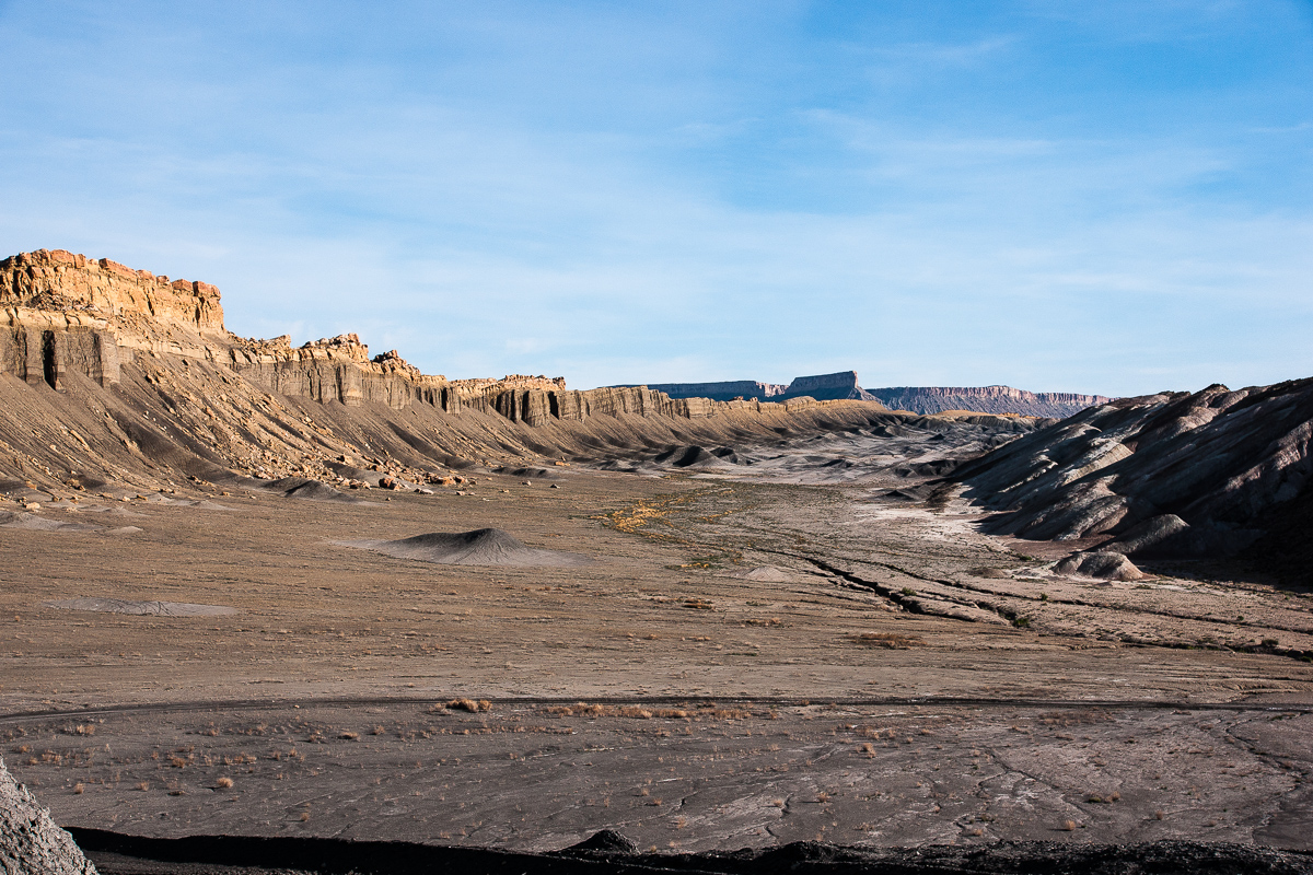
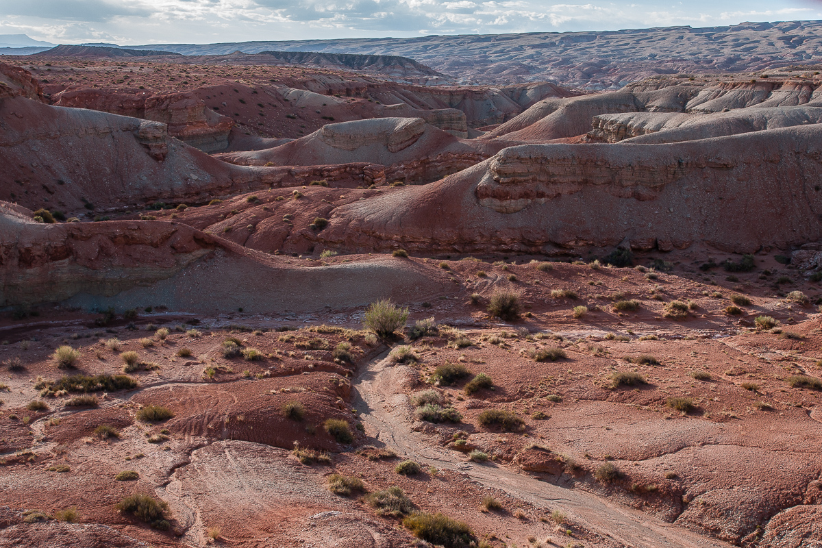
Salt Wash Road descends from Factory Bench into a shallow valley south of North Caineville Reef. Reaching the Reef it turns to southwest. At a first glance it is a lifeless place - but it isn't!
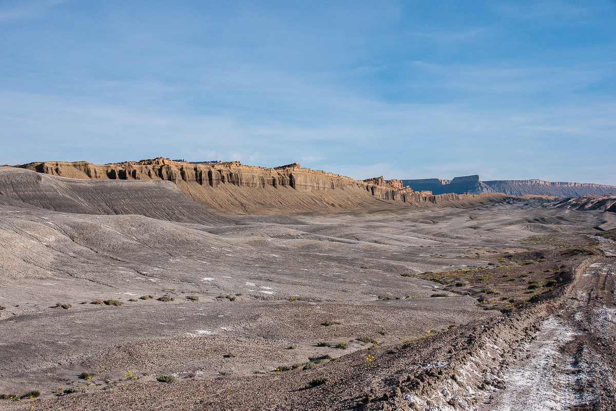
Along the Reef in southwestern direction
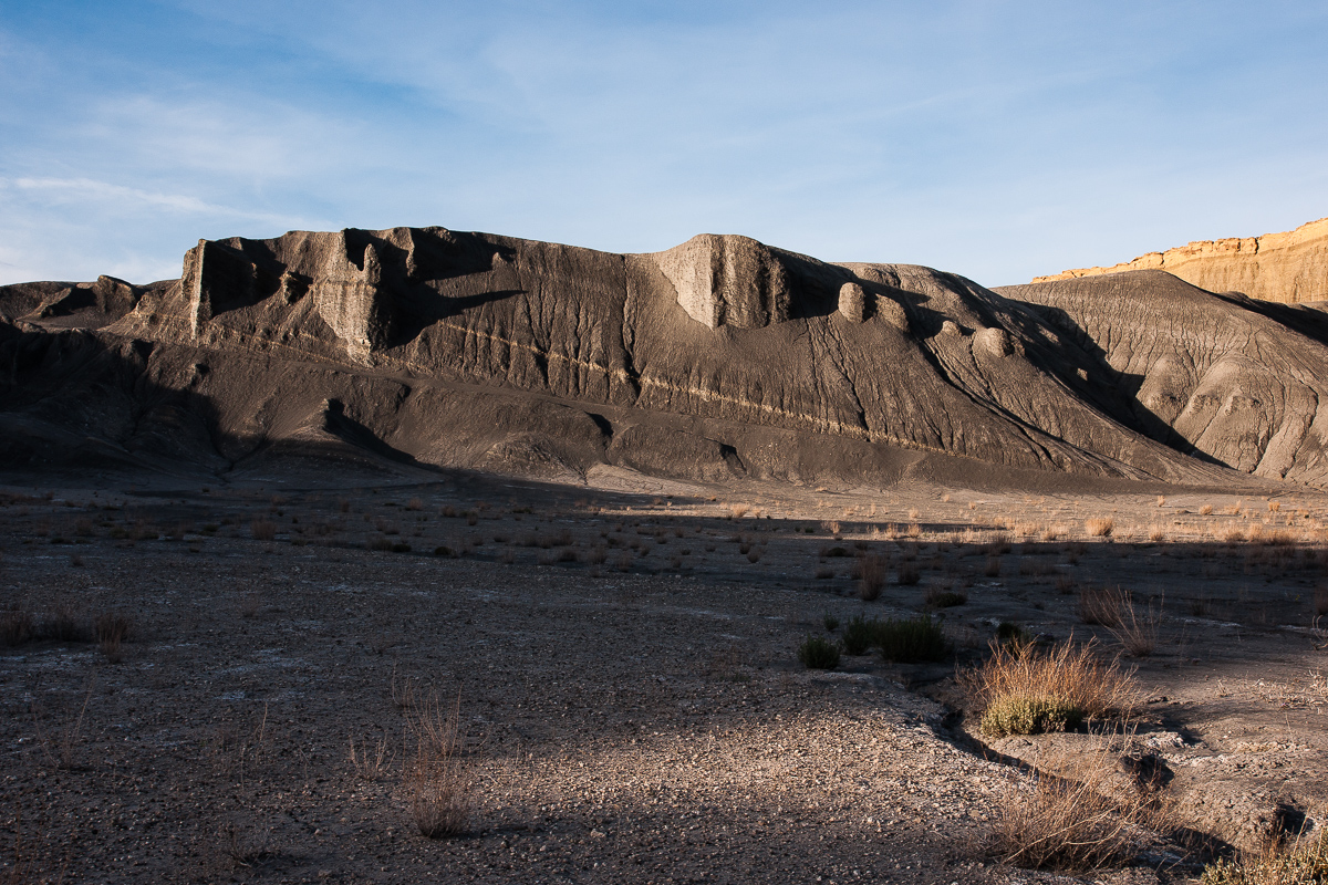
The land is dark grey to black with white patches. This must be minerals. Another thing to find is brown gravel. No gravel at all, these are Billions (?) of petrified mussels.
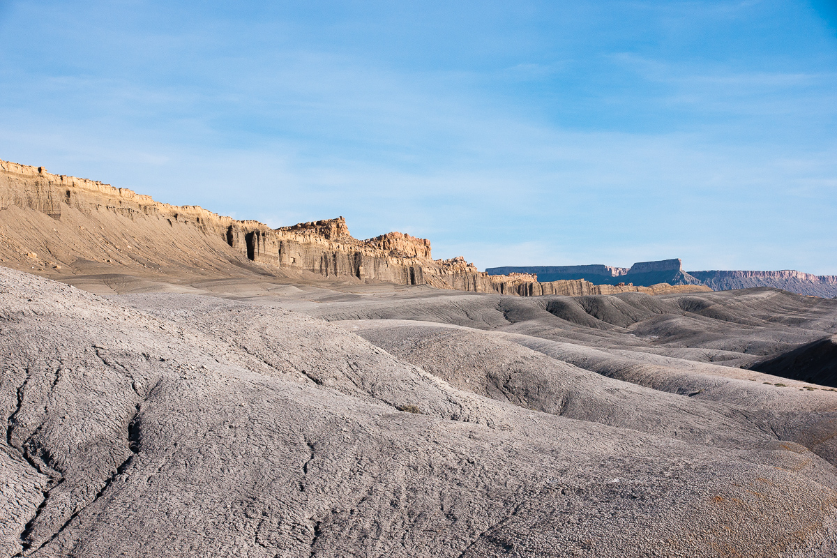
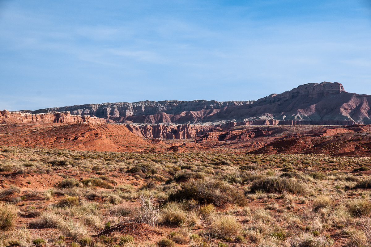
On the left the rim to Factory Bench. Again North Caineville Mesa
Impressing landscape
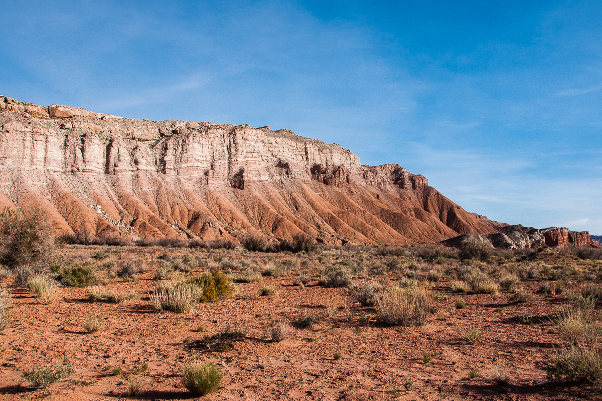
After a little more than a Mile the road switches trough a gap onto the opposite side of the Reef.
At this point the road turns right
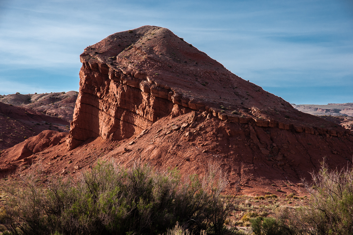
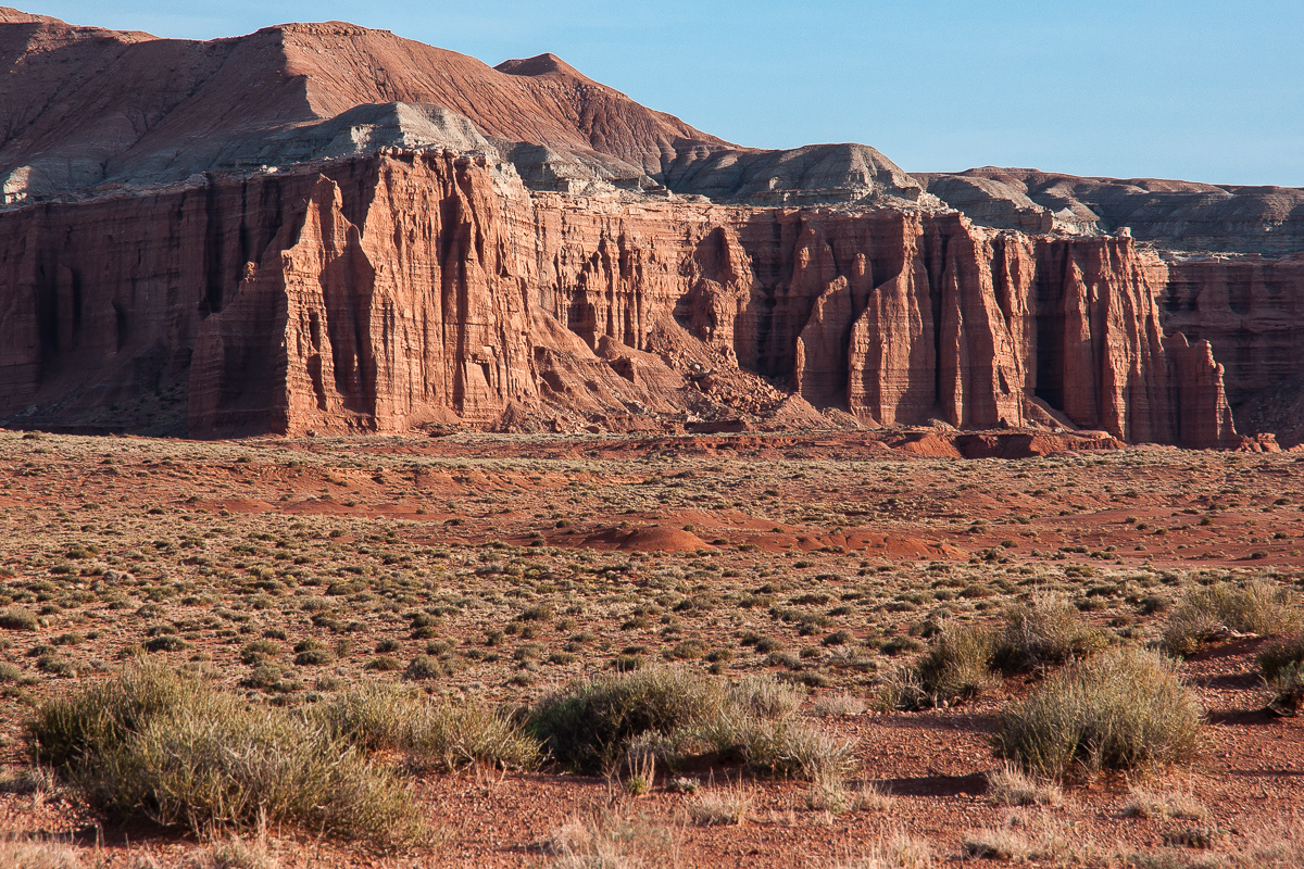
It is not only a switch of the side it is of switching colors too. The other side is red.
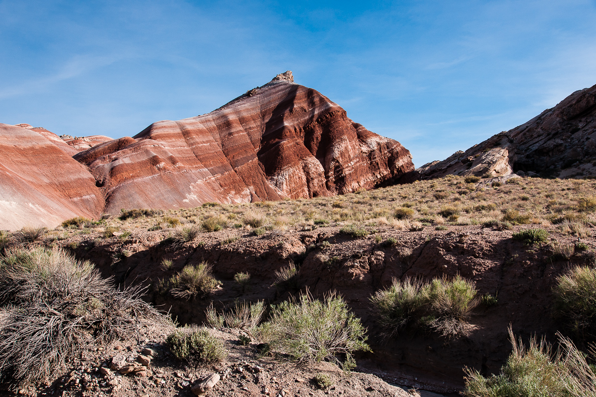
Red
Now we are there where Salt Wash is flowing in a northern direction to discharge into Muddy Creek.
Muddy Creek flows in front of the Moroni Slopes
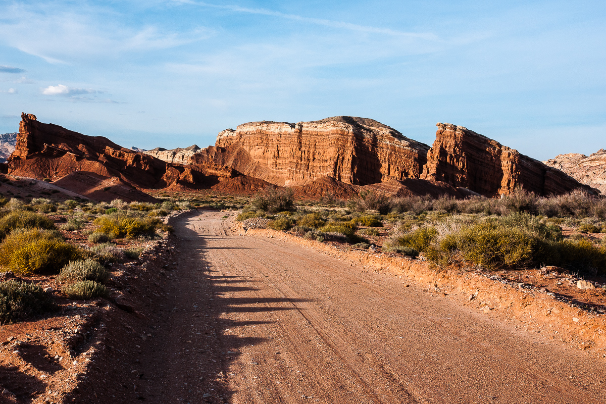
Salt Wash Road. North Caineville Reef is now on the left side.
Salt Wash Valley in northern direction
The road crosses flowing Salt Wash for the first time
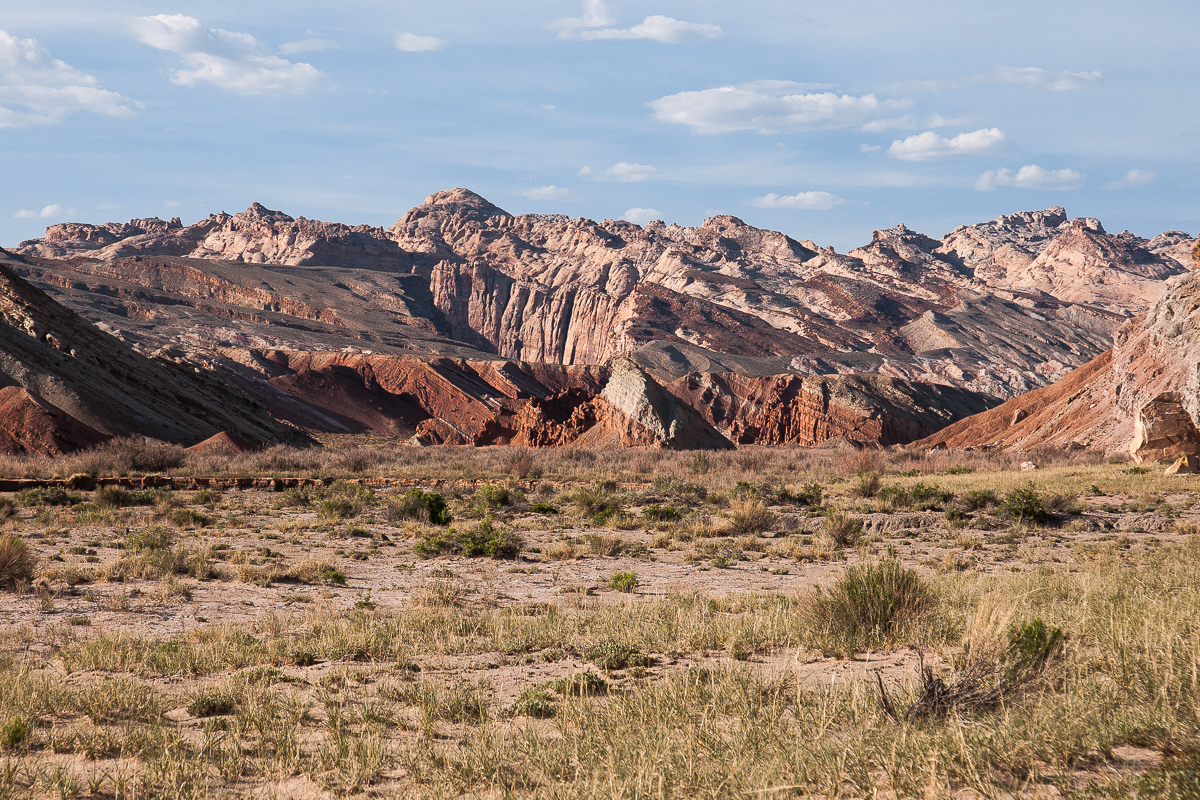
Another cliff line to the west
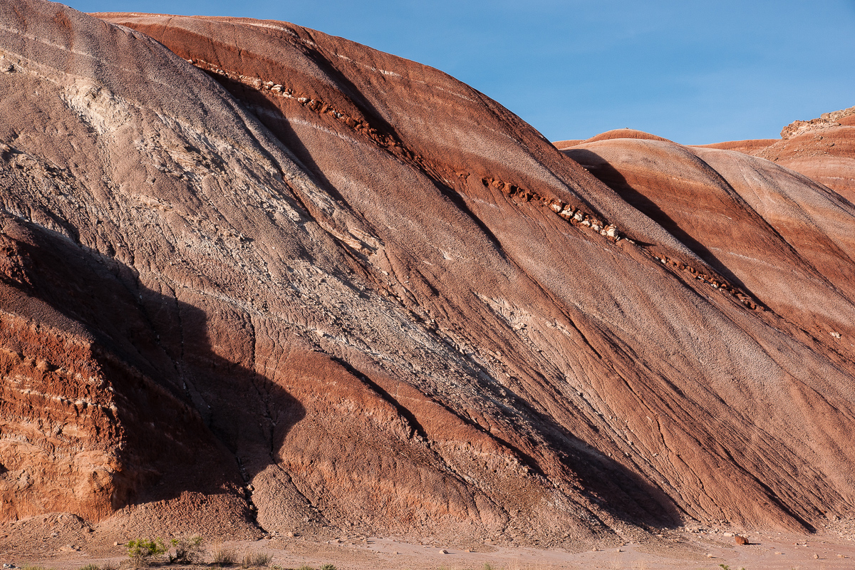
The incline of these layers is caused by the rise of the San Rafael Swell. Bedding goes up to the west at an angle of approximately 25 degrees.
From Entrada (bottom) to Mancos Shale
Evening light
A second ford through Salt Wash where it comes out of a slightly deeper canyon. There we drove in 20(?) years ago.
Wood Bench in the south
Deep red coused by evening light
Gray North Caineville Mesa
The road climbs up onto a hill.
Looking back to Salt Wash
Remains from Salt Wash
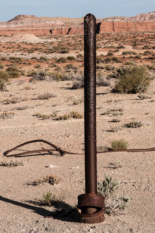
This seems to be the reason for building the road.
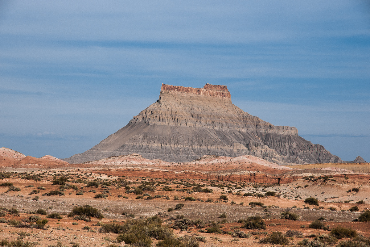
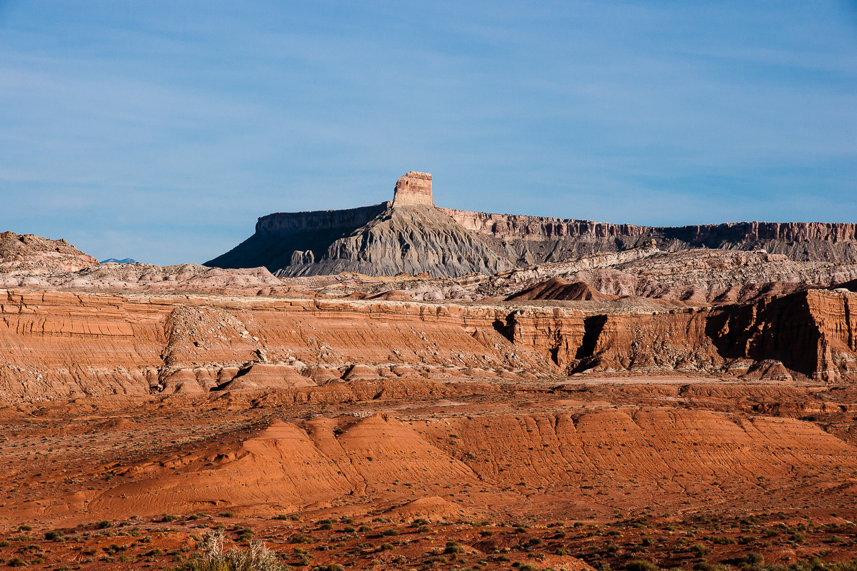
Factory Butte
Not far away from the drill hole the trail ends above a tributary of Salt Wash, dry at the time. We noticed some ATV tracks going down into the drainage.
Road end
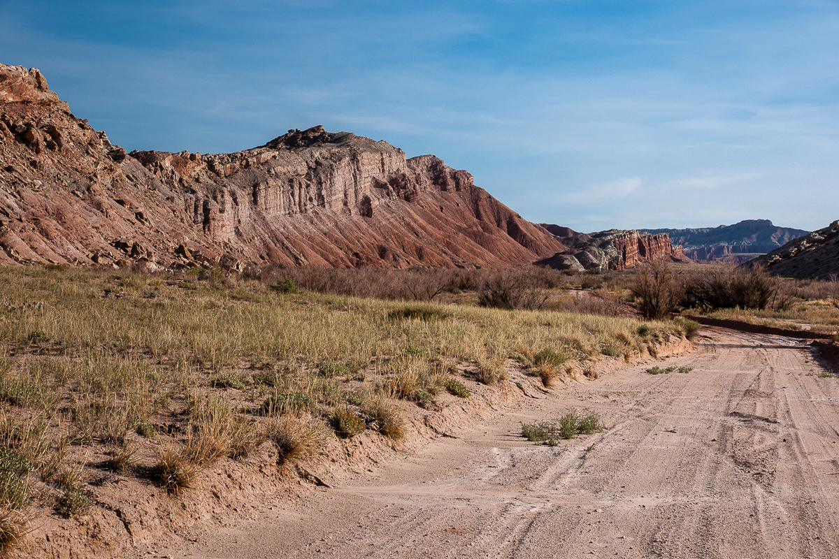
Wood Bench Rim
The rim of Wood Bench looks similar to Cathedral Valley. No surprise, it has more or less the same geological structure.
Time to turn around! We are heading back to Coal Mine Road.
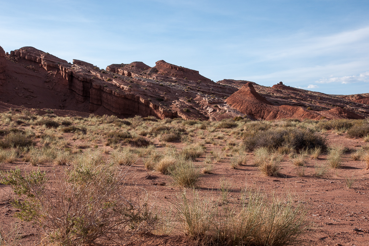
Near Salt Wash
Once again going through North Caineville Reef and its color diversity.
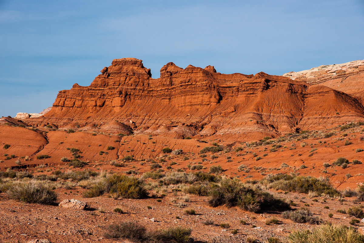
Red North Caineville Reef
Gray part of it
Coming from the Goblin Valley area over Clay Hills Road we reached the point where this road intersects with Coal Mine Road on Factory Bench. (Utah, Emery and Wayne County). At this place (12S 0506411 4261697) a third road goes the the southwest skirting North Caineville Reef. This one is said to be a dead end but this might not be true. Rumors are that there is an old connection to Last Cahnce Wash between Cathedral Valley and I 70 to the north. We found some mostly short spurs leading into nowhere. Years ago driving into Salt Wash Canyon was possible up to some springs but we decided to turn around at this place.
The trip started in the early evening around 6 pm. Wonderful evening light for colorful rocks.
The road starts here, but the one seen on the right side is Clay Hills road
Salt Wash Road descends from Factory Bench into a shallow valley south of North Caineville Reef. Reaching the Reef it turns to southwest. At a first glance it is a lifeless place - but it isn't!
Along the Reef in southwestern direction
The land is dark grey to black with white patches. This must be minerals. Another thing to find is brown gravel. No gravel at all, these are Billions (?) of petrified mussels.
On the left the rim to Factory Bench. Again North Caineville Mesa
Impressing landscape
After a little more than a Mile the road switches trough a gap onto the opposite side of the Reef.
At this point the road turns right
It is not only a switch of the side it is of switching colors too. The other side is red.
Red
Now we are there where Salt Wash is flowing in a northern direction to discharge into Muddy Creek.
Muddy Creek flows in front of the Moroni Slopes
Salt Wash Road. North Caineville Reef is now on the left side.
Salt Wash Valley in northern direction
The road crosses flowing Salt Wash for the first time
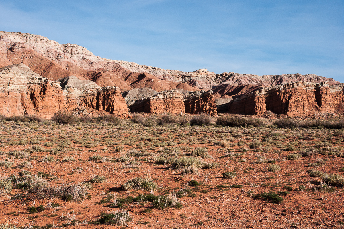
Another cliff line to the west
The incline of these layers is caused by the rise of the San Rafael Swell. Bedding goes up to the west at an angle of approximately 25 degrees.
From Entrada (bottom) to Mancos Shale
Evening light
A second ford through Salt Wash where it comes out of a slightly deeper canyon. There we drove in 20(?) years ago.
Wood Bench in the south
Deep red coused by evening light
Gray North Caineville Mesa
The road climbs up onto a hill.
Looking back to Salt Wash
Remains from Salt Wash
This seems to be the reason for building the road.
Factory Butte
Not far away from the drill hole the trail ends above a tributary of Salt Wash, dry at the time. We noticed some ATV tracks going down into the drainage.
Road end
Wood Bench Rim
The rim of Wood Bench looks similar to Cathedral Valley. No surprise, it has more or less the same geological structure.
Time to turn around! We are heading back to Coal Mine Road.
Near Salt Wash
Once again going through North Caineville Reef and its color diversity.
Red North Caineville Reef
Gray part of it