SKLund
Member
- Joined
- Aug 19, 2016
- Messages
- 459
This day hike proceeds from the rest area at Abiquiu Lake along Highway 84 between the settlement of Abiquiu and Ghost Ranch.
Piedra Lumbre translates to light stone and it is a land grant. Looking at any map of New Mexico or Southern Colorado, one will see the words "land grant" throughout. The meaning is time dependent. From La Entrada or entry of the Spanish into this region, grants of land were provided to settlers who gave service to The Crown. The maps still point to these old to near ancient tracts but their ownership and management has changed over the centuries. In many cases, the heirs died out, the federal or state government seized parcels, robber barons came and "took" them, and finally, Navajo slavers simply kidnapped all of the settlers or their livestock.
Then there are a few that have maintained their status as they were originally meant to be. There are not many. The occupants that accept visitors will tell you from the beginning that their ancestors have been here since the 16th, or 17th century. This is a near universal greeting. Piedra Lumbre is actually part of Ghost Ranch kept free from visitation and marked as private but public abuts it and that is where we are going.
The Ghost Ranch website:
https://www.ghostranch.org/
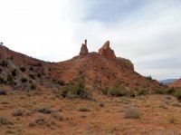
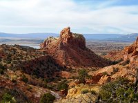
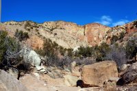
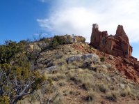
This is where the Colorado Plateau begins in earnest and it is immediately apparent. I have been all over this area but one place I had never visited was Piedra Lumbre Spire. You won't find this name on any map. You many have seen it though if you have watched, "The Magnificent Seven" (the new one), "Hostiles" or the David Attenborough documentary, "Flying with Dinosaurs". The largest pterosaur fossil was found near our goal.
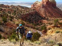
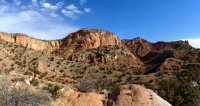
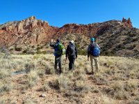
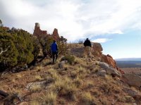
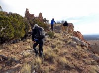
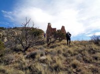
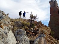
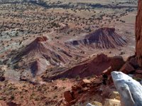
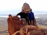
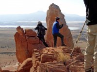
The difficulty of hiking here is, of course, the terrain. The best places have the worst terrain, right? Even though we are travelling on public land, it's very hard to avoid crypto and in some places we have to do class 3 scrambles in order to keep from drifting into, nice, flat, private property.


