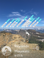
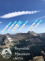
PeakVisor App

Nick

-
.
Joined
Aug 9, 2007
Messages
12,949
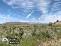
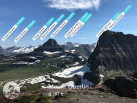
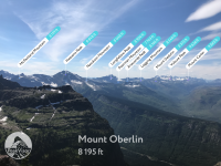
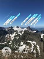
Anyone here use the PeakVisor app? It was recently recommended to me and I downloaded it, and it is pretty bad ass. It's like $6, but worth every penny, IMO. Just point your phone at mountains and it'll label them all for you. You might have to drag the overlay around a bit, but it gets it super close right off the bat. You can import photos you've taken with your phone previously and get the same effect. I finally know what all the peaks and knobs are that I can see from my deck! You can also download map layers for entire regions for when you're not in cell service. Really cool app.
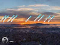
sharing_rnd3632640748_t576900229.750171.jpeg

Although it seems to be missing Box Elder here:
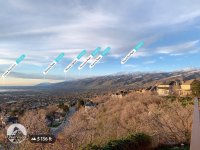
sharing_rnd4245417244_t576899197.887548.jpeg
 
Yep. Great for naming all the little humps and bumps surrounding the big boys. Good app, amazingly cheap.
 
Going shopping for it..

Got it. I love the interface - it looks cool. Too early to tell if it is functional. The teleport function is cool. Off to King's peak.
The downloaded maps/skylines are massive although cover a big area. N. Rocky mountains including the Wasatch > 1 Gb....
 
Last edited:
I still want to know who Molly was that she inspired so many... Maybe Fern was her sister.

This is a pretty good app. I do not have it, but my friend who is more tech inclined does and it was great to have in the Winds, and even nearby seeing what peaks and ridges really are named.
 
I use Peakfinder which seems pretty similar. I don't believe it costs anything, but I don't pay much attention to anything costing less than $10 in the app store. I don't install new apps very often.
 
Scouting out in the west desert this afternoon and shot the Stansbury Mountains from the west. This app is so great! I love it. And I love the interface and the technology. It is not too often that this technologist and web developer says "How do they do that?"! Recommended. Thanks Nick!

UNADJUSTEDNONRAW_thumb_6b16.jpg
 
Last edited:
Got it. Looks great. Excited to use
it in the Uintas this summer as knowing
the names of various peaks has been
a weakness of mine.
 
I also have had PeakFinder for a while. Looks like it does about the same kind of thing. Works pretty well. It even worked pretty well down inside the Grand Canyon. A nice supplement to have with a map.
 

Similar threads

Back
Top