deanhill
Member
- Joined
- Mar 15, 2016
- Messages
- 14
This trip was the result of lots of scouting and research. Backcountrypost is one of the only places that you will find people talking about the Black Trail. I definitely benefited from some posts on here, and some private messages. Thanks!
The plan was 6 days, but got out a day early to avoid the incoming storm.
Day 1
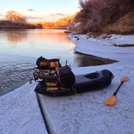
Parked near Halls Crossing and did a quick hike to the 1st crossing. Easy crossing, maybe 20 mins of paddling.
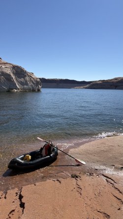
Took as direct a route as possible to the Waterpocket fold area.
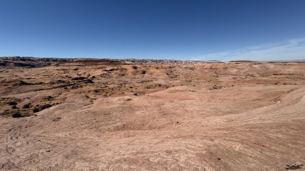
Nice quality trail construction near the top.
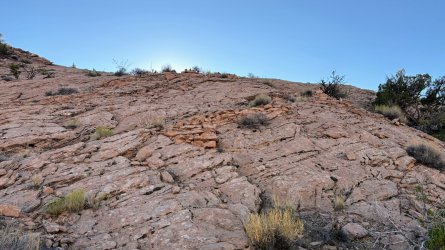
Day 2
Definitely got off route, but made my way to Long canyon
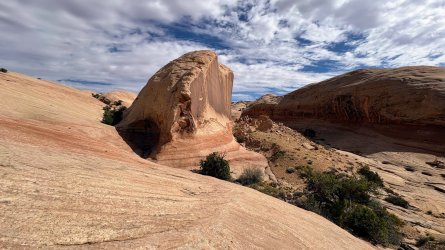
Getting ready to drop into Longs Canyon
Day 3
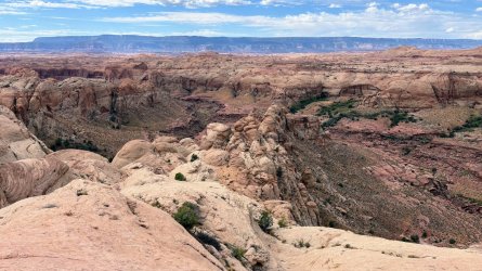
Up Bowns Canyon, and out the horse ladder. It was cool to see the old Moki steps at the top that had been blasted thru for the horse route.
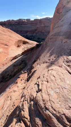
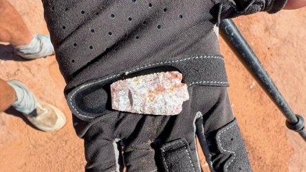
Lots of artifact scatter. And millions of marbles.
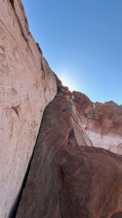
I've seen people casually recommend the Black Trail Fin. For me with a heavy pack it was stressful, although it's really just lots of exposure. Definitely was happy to be going up.
Day 4
Made it to Hole in the Rock early in the morning. Didn't have much luck finding a marked route to Jackass Bench. And when you get to the tricky parts all of a sudden there are cairns leading everywhere. Lots of horse ladder work there also. You can see the exit route to the mesa on the other side of the lake.
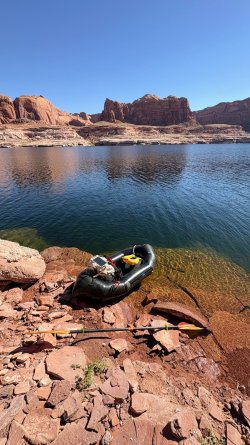
The exit turned out harder that it looked on satellite, or from the other side. Was lucky to find a few Moki Steps in the cruz.
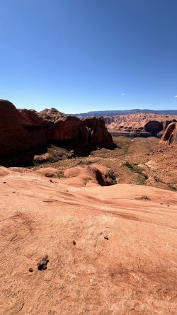
Day 5
Hiked down the old mining road to the Rincon. Really sad to see all the destruction from off route driving that was very recent. I don't think this road is even legal.
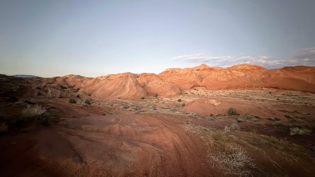
The slickrock around the Rincon super pretty.
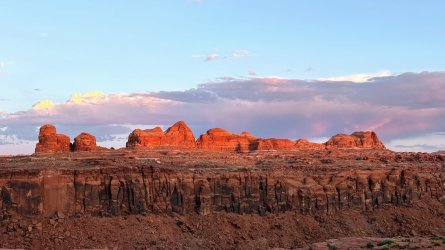
Crossed from the Rincon to the Slope. By far the longest crossing, taking close to an hour.
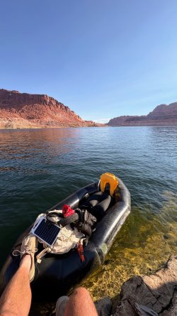
I've hiked a lot around the slope, but was excited to be able to go thru a new zone. I didn't realize there was an old mining road out there.
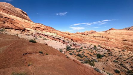
Middle Annies area, hiding from a small storm cell.
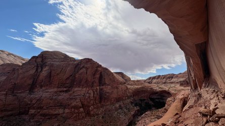
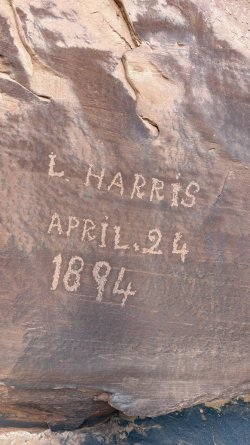
L. Harris found a sweet spot to hang out.
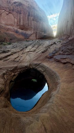
Finally some faster slickrock walking. Racing the sun and the weather.
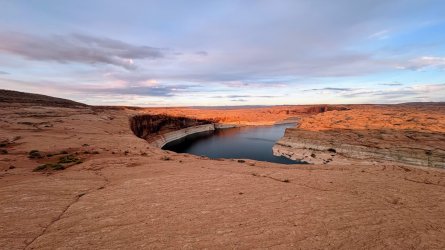
Did the finally lake crossing in the dark. Was lucky to get in between storm cells and had pretty calm waters.
Looking forward to more adventures in the area, I wish I had more time to explore on this loop.
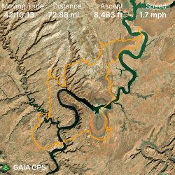
Instagram Video
The plan was 6 days, but got out a day early to avoid the incoming storm.
Day 1
Parked near Halls Crossing and did a quick hike to the 1st crossing. Easy crossing, maybe 20 mins of paddling.
Took as direct a route as possible to the Waterpocket fold area.
Nice quality trail construction near the top.
Day 2
Definitely got off route, but made my way to Long canyon
Getting ready to drop into Longs Canyon
Day 3
Up Bowns Canyon, and out the horse ladder. It was cool to see the old Moki steps at the top that had been blasted thru for the horse route.
Lots of artifact scatter. And millions of marbles.
I've seen people casually recommend the Black Trail Fin. For me with a heavy pack it was stressful, although it's really just lots of exposure. Definitely was happy to be going up.
Day 4
Made it to Hole in the Rock early in the morning. Didn't have much luck finding a marked route to Jackass Bench. And when you get to the tricky parts all of a sudden there are cairns leading everywhere. Lots of horse ladder work there also. You can see the exit route to the mesa on the other side of the lake.
The exit turned out harder that it looked on satellite, or from the other side. Was lucky to find a few Moki Steps in the cruz.
Day 5
Hiked down the old mining road to the Rincon. Really sad to see all the destruction from off route driving that was very recent. I don't think this road is even legal.
The slickrock around the Rincon super pretty.
Crossed from the Rincon to the Slope. By far the longest crossing, taking close to an hour.
I've hiked a lot around the slope, but was excited to be able to go thru a new zone. I didn't realize there was an old mining road out there.
Middle Annies area, hiding from a small storm cell.
L. Harris found a sweet spot to hang out.
Finally some faster slickrock walking. Racing the sun and the weather.
Did the finally lake crossing in the dark. Was lucky to get in between storm cells and had pretty calm waters.
Looking forward to more adventures in the area, I wish I had more time to explore on this loop.
Instagram Video