shredhiker
Member
- Joined
- Feb 14, 2023
- Messages
- 186
I made my first trip to Yosemite in September of 2020, spending a week in the high country, with heavy wildfire haze putting a damper on most of the trip. Still, I couldn't help but fall in love with the Sierra. As fate would have it, my buddy Rex and I wound up back there in May of 2021, battling lingering snow and spring blow down. Nearly a year later he called me about planning a trip to hike the High Sierra Trail in 2023, which wasn't a hard sell. Unfortunately for us, the historic snow pack meant we'd be putting those plans on hold for yet another year. When it came time to figure out the logistics of this trip, we had a group of 3, and the flights & transportation to make the HST work were cutting it awfully close, so I suggested an alternate route; Kearsarge Pass to Mt Whitney.
This meant hoping for a competitive permit and a shorter route, but still a chance to see some of the best scenery the Sierra has to offer. We agreed that it was our most logical choice for the year & were happy to receive a permit hiking in on July 16. That was one day sooner than we'd hoped to enter, but with any section of the JMT this time of year, we gladly took what we could get. We woke up super early July 15 on the east coast; made the two hour drive to the Atlanta airport, for the long flight to Fresno, and the equally long drive to Whitney Portal Campground, where we finally arrived around 8pm. No one slept great that night due to a combination of nervousness, excitement, and a little bit of delirium from the long travel day.
Day 1
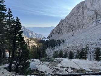
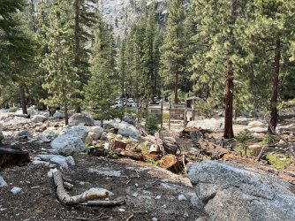
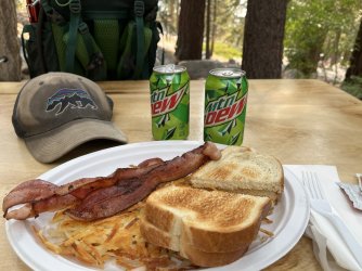
We tore down camp around 7 am, sorting through our luggage as we went to ensure that everything we'd need in our packs was present & accounted for. WP has strict rules about food and scented items being left in vehicles, so we spent plenty of time double-checking that it was all stored in the nearby bear boxes. We were hanging out by the famous Whitney Portal Store when the owner & his wife arrived to open up. Shortly after the lights were turned on we ordered some much needed coffee & breakfast, which was absolutely delicious. We had a shuttle arranged with Lone Pine Kurt, who showed up promptly at 10 am. It was a fun & entertaining ride to Onion Valley, Kurt offered us some great advice for the upcoming hike and a few restaurant suggestions for when we finished up.
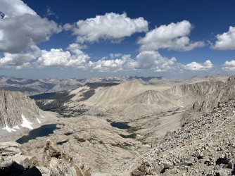
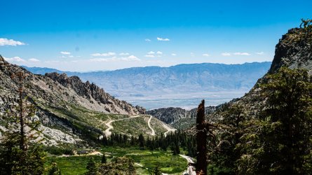
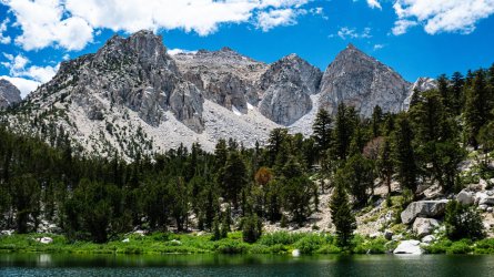
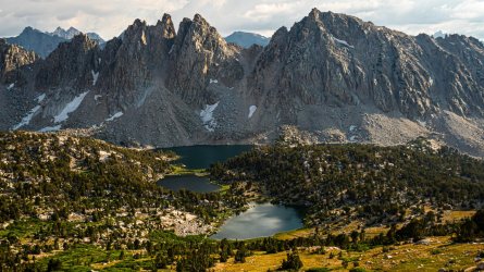
Just before noon we started the climb up toward Kearsarge Pass from the trailhead. The plan was to exit the portal in 8 days, we could have done it in less, but wanted to give everyone another easy day to acclimate & possibly take a side trip later on in the hike. I'd been up this trailhead a few years prior, this time the ascent was even tougher and slow going than I'd remembered. Still, the scenery was spectacular and morale was high as we fought our way up toward the pass. It was just past 5pm when we finally got to the top, and the view down into the Kearsarge Lakes Basin was just as exciting as the first time I'd seen it. We took a few minutes to enjoy the exquisite scene before us, then started making our way down toward the lakes to look for a camp spot.
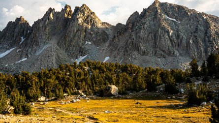
We were among the last groups to arrive for the day, and luckily found a site up above the lake hidden away from the trees. We were all cutting it pretty close trying to cram 8-9 days worth of food in our bear vaults, but thankfully this area had a bear locker. When we made our way down there just before dark, we found one side of it locked & the other side crammed full of bear canisters. Luckily there were a few members of a group that were camped right there wandering around. We politely asked them if they could remove a couple of the bear canisters from the locker, and explained that they didn't really need to be stored in there. Permits through Inyo NF are printed online now, with no requirement to pick them up from a ranger station, leaving a lot of hikers confused on food storage regulations.
By the time we were all retiring for the night, I wasn't feeling my best. It had me a little worried since it wasn't that big of a day, but I told myself it was just a bad combination of the hike and lack of sleep while traveling. Still as I drifted off I felt a bit feverish, I was just going to have to sleep that off, there was no time be ill out here.
Day 2
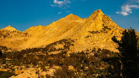
I tossed and turned through the night, more than I slept. Feeling short of breath with a slightly elevated heart rate, I realized that in addition to the effects of the altitude, I was indeed running a slight fever. When I finally crawled out of the tent, I was having difficulty doing basic camp chores. I managed to get breakfast down and all my gear packed up, then took a few minutes to just stroll around Kearsarge Lakes, hoping that starting to move would somehow make me feel better. It didn't.
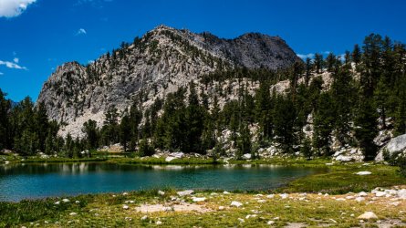
We left camp around 10am, and it was a painfully long hour hike to get to the gorgeous Bullfrog Lake. This had been one of my favorite sites a few years before, and I'd really been looking forward to seeing it again, but I was feeling so horrible that I couldn't really enjoy it. The guys had hiked a bit ahead of me at this point, after snapping a few photos, I found them across the lake in a nice shaded spot. I told them I wasn't feeling great, and found a spot to lie down for a few. I instantly fell asleep, napped for maybe half an hour, and woke up realizing we'd need to discuss a change of plans. I told them that I wasn't sure if it was the altitude or me coming down with something, but there was no way I'd be able to complete the 8 mile day we'd intended, ending near the base of Center Peak.
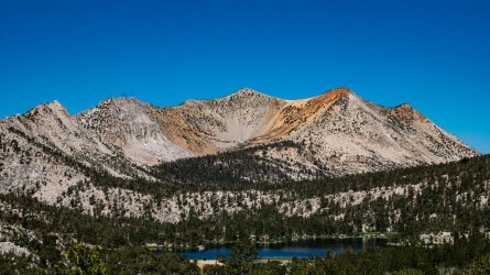
Everyone agreed to just play the day by ear, and make it as far as we could. This would mean giving up one of the side trips we'd hoped to complete later on in the hike, but hopefully it wouldn't call for a major change of plans. I later learned that our friend Chad was feeling pretty lousy that day as well, just not as bad off as I was, and the short day was a substantial help for him as well. We made our way toward camp near Lower Vidette Meadow, as I developed an annoying dry cough that would stay with me through the entirety of the trip. We got there around 3 pm, and I spent the day trying to rest in the shade and expend as little energy as possible.
Day 3
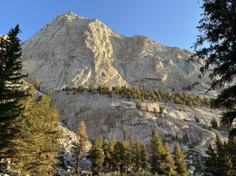
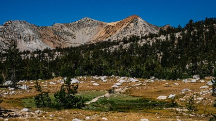
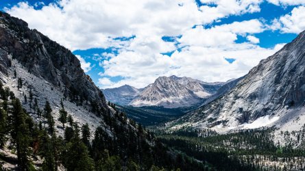
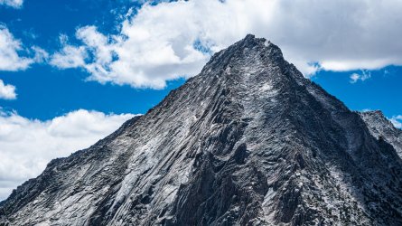
Honestly, it's hard to recall much about this short day along Bubbs Creek. I was feeling better than the day before, but still nowhere near 100% Our goal was to make it as far as we could toward Forester, so we'd be in a good position to go over it the following morning. It was cloudy for a good part of the day, then later in the afternoon the skies became a little hazy from distant wildfire smoke. That evening haze was present most of the trip, though it cleared up nicely each night.
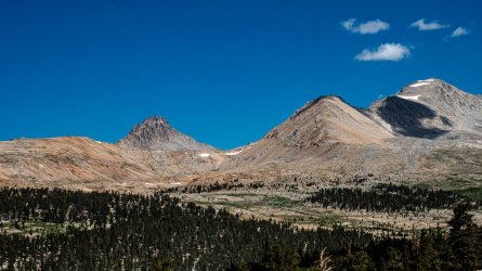
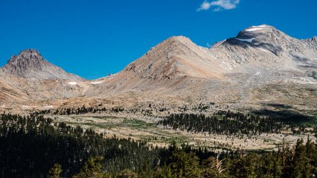
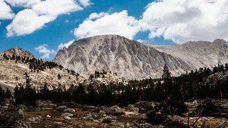
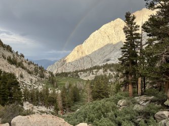
We came across a couple of park rangers who suggested we try to camp as close to the tree line as possible on our way to Forester, especially with the clouds lingering overhead. When we finally made it to a group of campsites just before getting out of the trees, there were tons of people already there & tent spots were sparse. We decided to keep moving and found a beautiful site with a good water source out in the open meadows. It was a bit more exposed than I would have liked, but the views were absolutely top notch.
Day 4
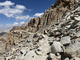
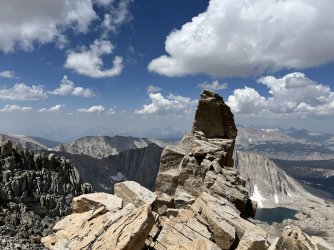
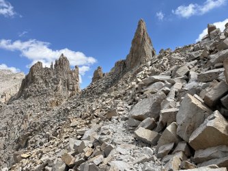
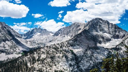
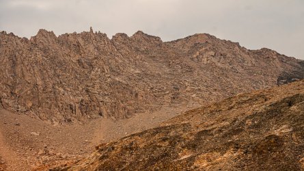
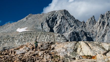
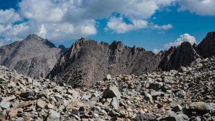
I woke up finally feeling substantially better, after getting the best nights sleep I'd had the entire trip. That couldn't have happened at a better time, as we had to make it over Forester Pass before the afternoon storms would creep in. We left camp around 8 am, enjoying the views and taking lots of photos & video, it was around noon when we made it to the top of the pass. Although I felt ok about the pace were keeping on our way up to 13k, I was still the slowest moving hiker in our group, which I was unaccustomed to. Thankfully we'd planned this whole trip at a fairly relaxed pace, so it wasn't a major hindrance to my hiking partners, who were used to me being in front during our previous trips.
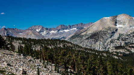
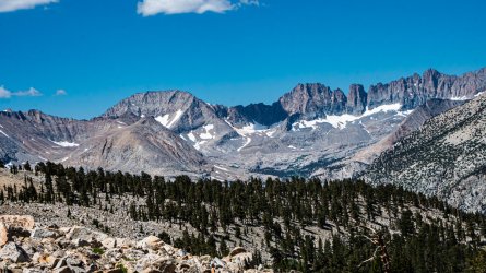
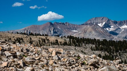
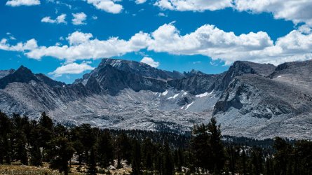
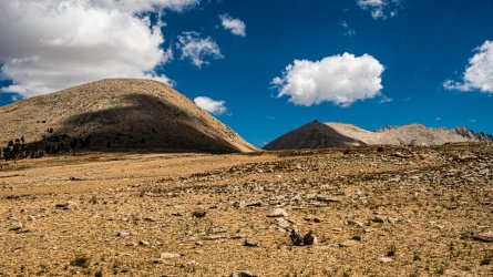
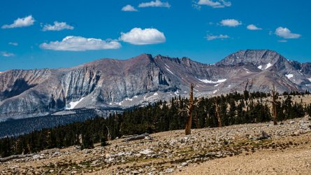
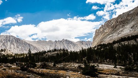
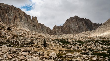
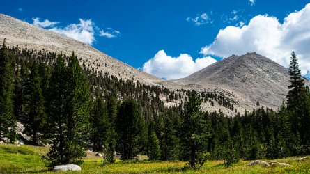
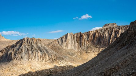
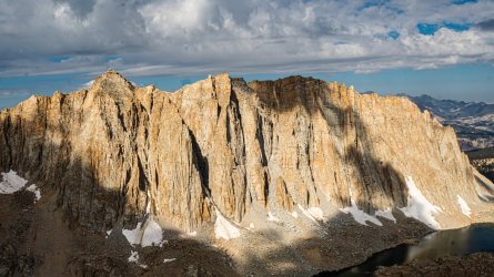
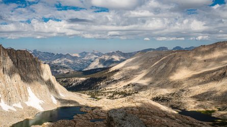
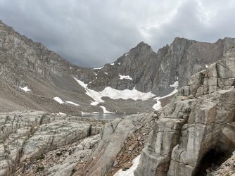
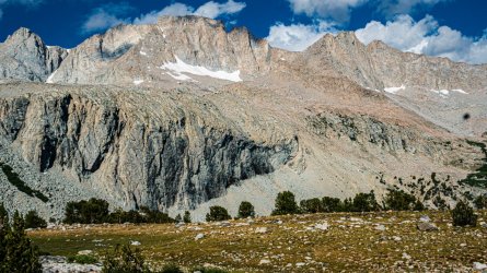
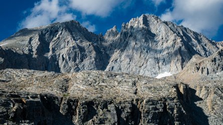
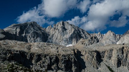
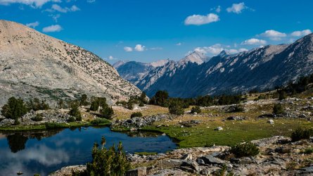
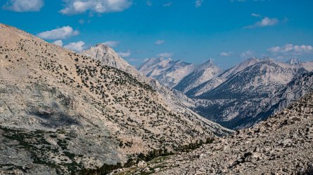
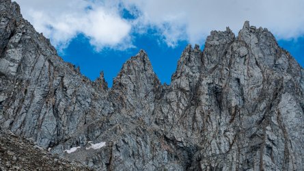
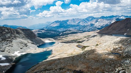
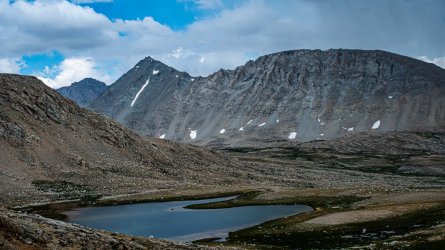
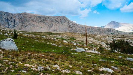
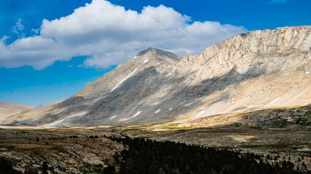
We stopped for a relatively short break at the top of the pass, took the obligatory pictures, and set our sites on one of the unnamed lakes down below as a place to stop for lunch. The section of the Tyndall Creek valley south of Forester Pass would be one of my favorite sections of the entire trip. I spent most of the day enjoying the relatively flat trail, in awe of the beautiful scenery, and wondering how I could get back to the area to do some off trail exploring on a future hike. The afternoon storms arrived right on schedule, with scattered hail greeting me across a long exposed section of the trail. By the time I'd gotten to some tree cover it had mostly passed, we had some light rain coming & going throughout the rest of the day, but never enough to cause concern.
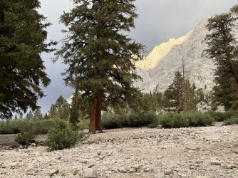
We eventually decided on a campsite near Shepherds Pass trail junction. The rain came in again, but thankfully we were able to take cover under the trees and wait it out. This was the first night I'd really felt well enough to notice the mosquitoes, which had been a nuisance most nights of the trip, but were particularly bad in this area. Thankfully we came prepared with long clothing, head nets and deet. At this point I was just elated to be feeling good enough to enjoy the hike again.
Stay tuned for days 5-8, I'll try to have them finished up in the next day or two.
This meant hoping for a competitive permit and a shorter route, but still a chance to see some of the best scenery the Sierra has to offer. We agreed that it was our most logical choice for the year & were happy to receive a permit hiking in on July 16. That was one day sooner than we'd hoped to enter, but with any section of the JMT this time of year, we gladly took what we could get. We woke up super early July 15 on the east coast; made the two hour drive to the Atlanta airport, for the long flight to Fresno, and the equally long drive to Whitney Portal Campground, where we finally arrived around 8pm. No one slept great that night due to a combination of nervousness, excitement, and a little bit of delirium from the long travel day.
Day 1
We tore down camp around 7 am, sorting through our luggage as we went to ensure that everything we'd need in our packs was present & accounted for. WP has strict rules about food and scented items being left in vehicles, so we spent plenty of time double-checking that it was all stored in the nearby bear boxes. We were hanging out by the famous Whitney Portal Store when the owner & his wife arrived to open up. Shortly after the lights were turned on we ordered some much needed coffee & breakfast, which was absolutely delicious. We had a shuttle arranged with Lone Pine Kurt, who showed up promptly at 10 am. It was a fun & entertaining ride to Onion Valley, Kurt offered us some great advice for the upcoming hike and a few restaurant suggestions for when we finished up.
Just before noon we started the climb up toward Kearsarge Pass from the trailhead. The plan was to exit the portal in 8 days, we could have done it in less, but wanted to give everyone another easy day to acclimate & possibly take a side trip later on in the hike. I'd been up this trailhead a few years prior, this time the ascent was even tougher and slow going than I'd remembered. Still, the scenery was spectacular and morale was high as we fought our way up toward the pass. It was just past 5pm when we finally got to the top, and the view down into the Kearsarge Lakes Basin was just as exciting as the first time I'd seen it. We took a few minutes to enjoy the exquisite scene before us, then started making our way down toward the lakes to look for a camp spot.
We were among the last groups to arrive for the day, and luckily found a site up above the lake hidden away from the trees. We were all cutting it pretty close trying to cram 8-9 days worth of food in our bear vaults, but thankfully this area had a bear locker. When we made our way down there just before dark, we found one side of it locked & the other side crammed full of bear canisters. Luckily there were a few members of a group that were camped right there wandering around. We politely asked them if they could remove a couple of the bear canisters from the locker, and explained that they didn't really need to be stored in there. Permits through Inyo NF are printed online now, with no requirement to pick them up from a ranger station, leaving a lot of hikers confused on food storage regulations.
By the time we were all retiring for the night, I wasn't feeling my best. It had me a little worried since it wasn't that big of a day, but I told myself it was just a bad combination of the hike and lack of sleep while traveling. Still as I drifted off I felt a bit feverish, I was just going to have to sleep that off, there was no time be ill out here.


Day 2
I tossed and turned through the night, more than I slept. Feeling short of breath with a slightly elevated heart rate, I realized that in addition to the effects of the altitude, I was indeed running a slight fever. When I finally crawled out of the tent, I was having difficulty doing basic camp chores. I managed to get breakfast down and all my gear packed up, then took a few minutes to just stroll around Kearsarge Lakes, hoping that starting to move would somehow make me feel better. It didn't.
We left camp around 10am, and it was a painfully long hour hike to get to the gorgeous Bullfrog Lake. This had been one of my favorite sites a few years before, and I'd really been looking forward to seeing it again, but I was feeling so horrible that I couldn't really enjoy it. The guys had hiked a bit ahead of me at this point, after snapping a few photos, I found them across the lake in a nice shaded spot. I told them I wasn't feeling great, and found a spot to lie down for a few. I instantly fell asleep, napped for maybe half an hour, and woke up realizing we'd need to discuss a change of plans. I told them that I wasn't sure if it was the altitude or me coming down with something, but there was no way I'd be able to complete the 8 mile day we'd intended, ending near the base of Center Peak.
Everyone agreed to just play the day by ear, and make it as far as we could. This would mean giving up one of the side trips we'd hoped to complete later on in the hike, but hopefully it wouldn't call for a major change of plans. I later learned that our friend Chad was feeling pretty lousy that day as well, just not as bad off as I was, and the short day was a substantial help for him as well. We made our way toward camp near Lower Vidette Meadow, as I developed an annoying dry cough that would stay with me through the entirety of the trip. We got there around 3 pm, and I spent the day trying to rest in the shade and expend as little energy as possible.


Day 3
Honestly, it's hard to recall much about this short day along Bubbs Creek. I was feeling better than the day before, but still nowhere near 100% Our goal was to make it as far as we could toward Forester, so we'd be in a good position to go over it the following morning. It was cloudy for a good part of the day, then later in the afternoon the skies became a little hazy from distant wildfire smoke. That evening haze was present most of the trip, though it cleared up nicely each night.
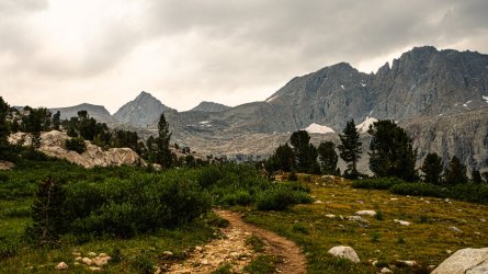
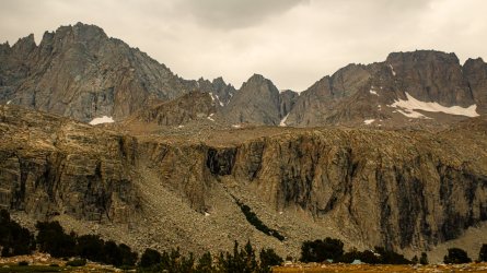
We came across a couple of park rangers who suggested we try to camp as close to the tree line as possible on our way to Forester, especially with the clouds lingering overhead. When we finally made it to a group of campsites just before getting out of the trees, there were tons of people already there & tent spots were sparse. We decided to keep moving and found a beautiful site with a good water source out in the open meadows. It was a bit more exposed than I would have liked, but the views were absolutely top notch.


Day 4
I woke up finally feeling substantially better, after getting the best nights sleep I'd had the entire trip. That couldn't have happened at a better time, as we had to make it over Forester Pass before the afternoon storms would creep in. We left camp around 8 am, enjoying the views and taking lots of photos & video, it was around noon when we made it to the top of the pass. Although I felt ok about the pace were keeping on our way up to 13k, I was still the slowest moving hiker in our group, which I was unaccustomed to. Thankfully we'd planned this whole trip at a fairly relaxed pace, so it wasn't a major hindrance to my hiking partners, who were used to me being in front during our previous trips.
We stopped for a relatively short break at the top of the pass, took the obligatory pictures, and set our sites on one of the unnamed lakes down below as a place to stop for lunch. The section of the Tyndall Creek valley south of Forester Pass would be one of my favorite sections of the entire trip. I spent most of the day enjoying the relatively flat trail, in awe of the beautiful scenery, and wondering how I could get back to the area to do some off trail exploring on a future hike. The afternoon storms arrived right on schedule, with scattered hail greeting me across a long exposed section of the trail. By the time I'd gotten to some tree cover it had mostly passed, we had some light rain coming & going throughout the rest of the day, but never enough to cause concern.
We eventually decided on a campsite near Shepherds Pass trail junction. The rain came in again, but thankfully we were able to take cover under the trees and wait it out. This was the first night I'd really felt well enough to notice the mosquitoes, which had been a nuisance most nights of the trip, but were particularly bad in this area. Thankfully we came prepared with long clothing, head nets and deet. At this point I was just elated to be feeling good enough to enjoy the hike again.


Stay tuned for days 5-8, I'll try to have them finished up in the next day or two.

