North Caineville Mesa View

hatchcanyon

Member
Joined
May 29, 2013
Messages
136
One single picture only:

DSC06219_12.jpg


Looking towards UT 24, Fremont River and South Caineville Mesa
 
Nice to see this picture here too.
I like it a lot, it looks so unreal.
 
Is this mostly a walkup or is it scrambly? I've been up S Caineville Mesa a couple times but never N.
 
Is this mostly a walkup or is it scrambly? I've been up S Caineville Mesa a couple times but never N.

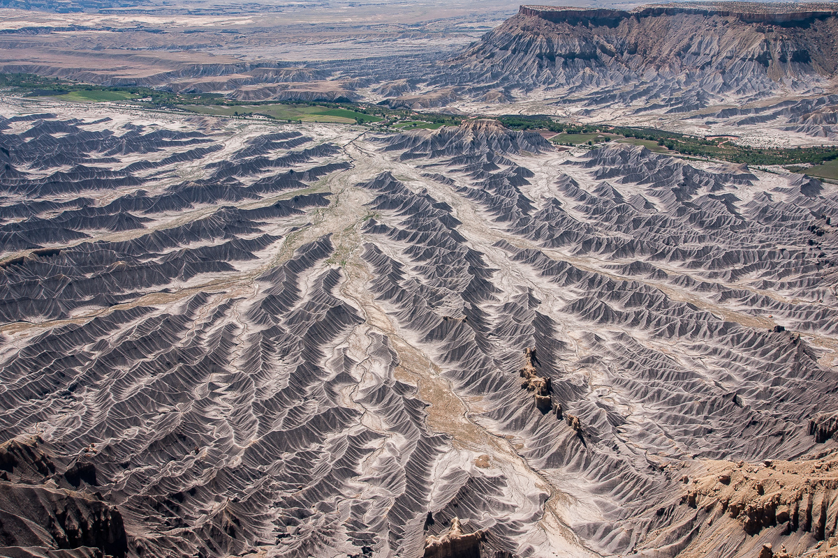
It is something like a trail to hell. No shadow, steep with dropoffs and Shale for most of the lenght.
To be honest the picture is taken from an airplane flying very low over the top of the mesa.

Nice to see this picture here too.
I like it a lot, it looks so unreal.
Thank you!
 
Last edited:

Don't like ads? Become a BCP Supporting Member and kiss them all goodbye. Click here for more info.

Back
Top