Udink
Still right here.
- Joined
- Jan 17, 2012
- Messages
- 1,748
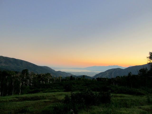
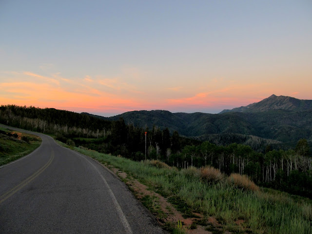
It felt great, albeit exhausting, to bag Mt. Waas a couple of weeks ago. I sought out more fulfillment and punishment this past weekend with a more difficult hike to the summit of Mt. Nebo, which is the highest point in both the Wasatch Mountain range and Utah County at 11,928' in elevation. Both Waas and Nebo have an "Extreme" difficulty rating in the High in Utah book, which makes me feel like somewhat less of a whimp for having been completely worn out after each hike. I partnered up with my brother-in-law, Mark, once again, and we got a ridiculously early 4:00AM driving start from Price. We drove through Payson and started up the Nebo Loop road, stopping a few times to photograph the sunrise. There were two other vehicles when we arrived at the trailhead on the northeast side of Mt. Nebo, and by about 6:30 we were hiking west up the mountain.
Utah Lake overlook along the Nebo Loop
Nebo Loop road
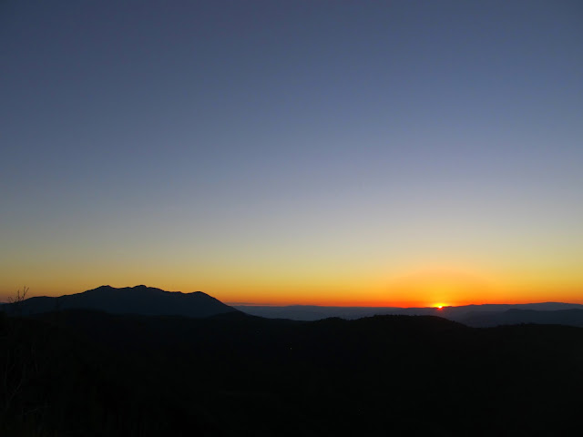
Sunrise from the Nebo Loop road
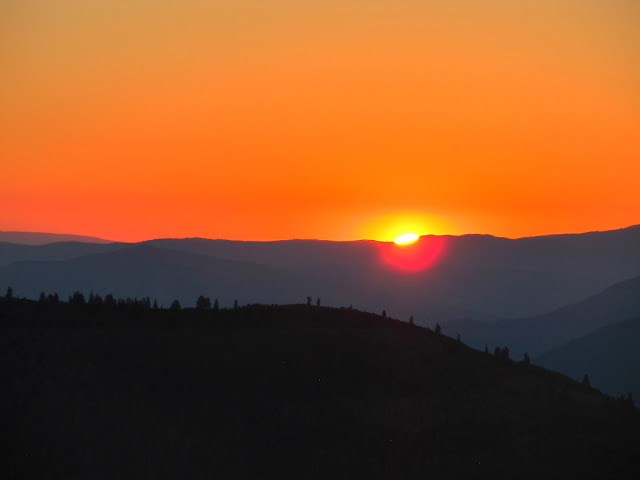
Sunrise
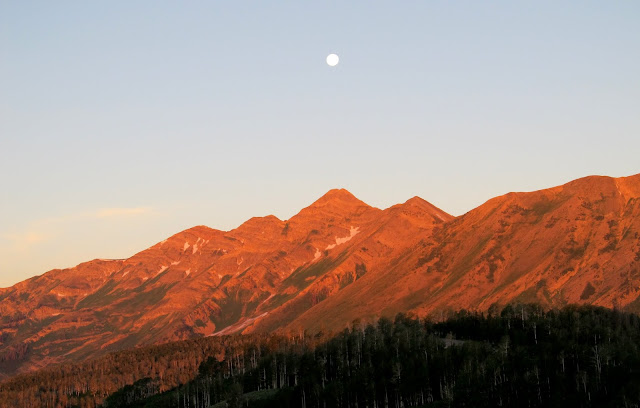
Moon over Mt. Nebo at sunrise
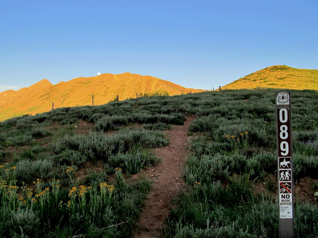
Start of the Mt. Nebo trail
Full moon setting over Mt. Nebo
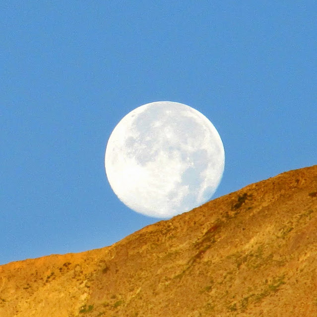
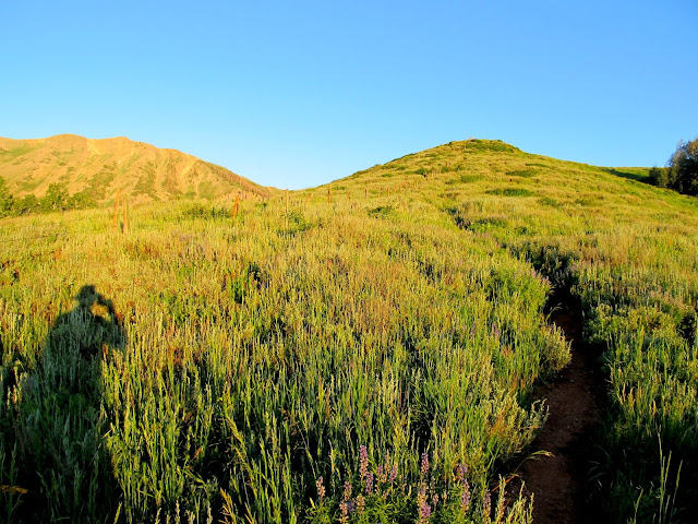
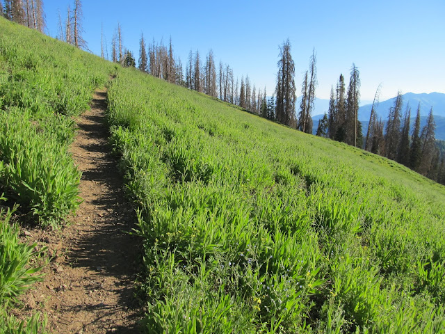
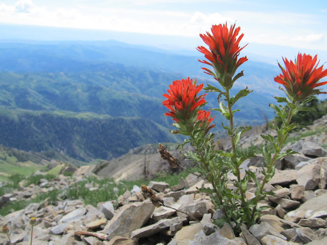
We watched the full moon set behind the mountain as we worked our way up to the main north-south Nebo ridge. Early on my muscles were feeling tired and I got a little shaky--perhaps due to the severe lack of sleep the night before--but after stopping to rest and eat something I felt much better. As we climbed there were quite nice views behind us to the east. There were a lot of wildflowers in bloom, ranging from lush meadows with large plants at the lower elevations to stunted and sparse flowers in the higher rocky reaches.
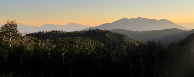
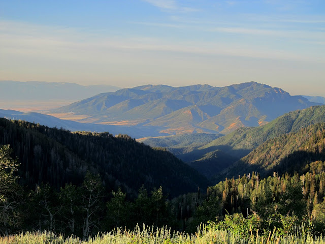
View northeast from the trail
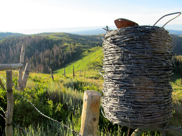
Lower trail following a fenceline
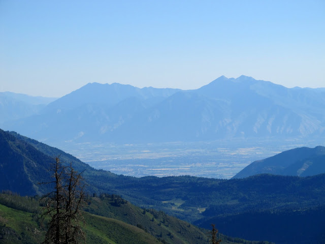
San Pitch Mountains to the south
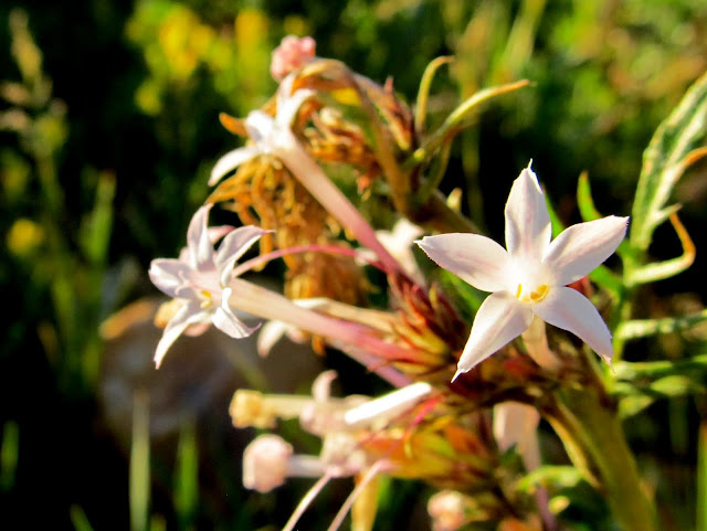
Ipomopsis tenuituba (Slendertube Skyrocket)
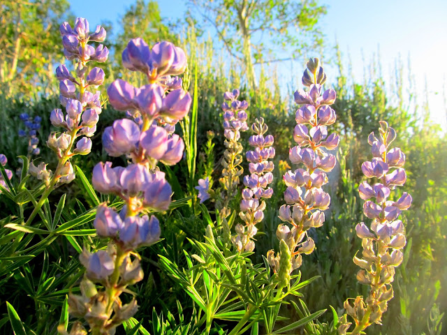
Lupinus argenteus (Lupine)
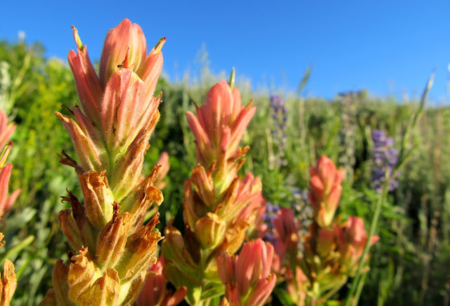
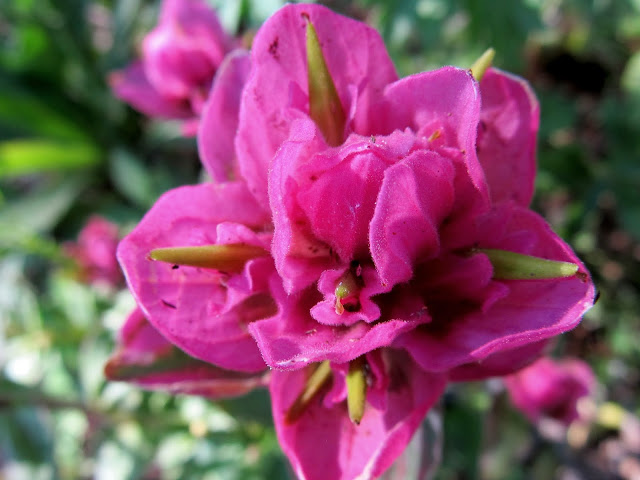
Castilleja rhexiifolia (Rose Paintbrush)
Spool of barbed wire left on a fence
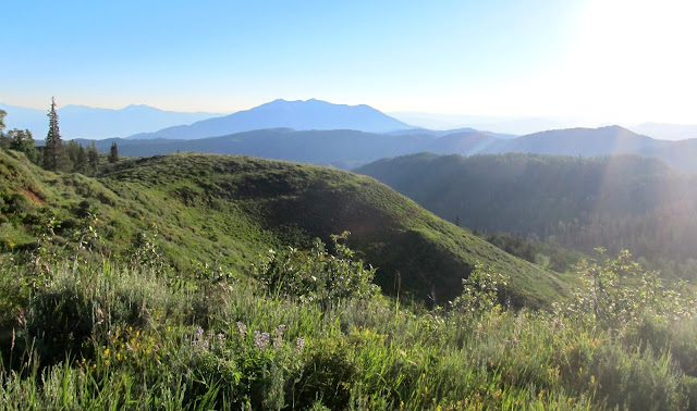
View northeast toward Loafer Mountain
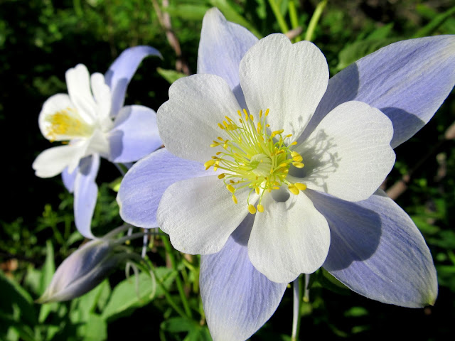
Aquilegia coerulea (Colorado Columbine)
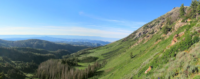
View south along Nebo Bench
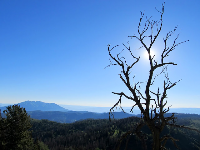
Dead tree on the Nebo ridge
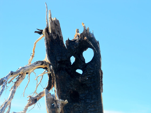
Ghostly burned tree
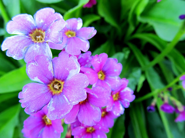
Primula parryi (Parry's Primrose)
Trail traversing a grassy slope
Castilleja rhexiifolia (Rose Paintbrush)
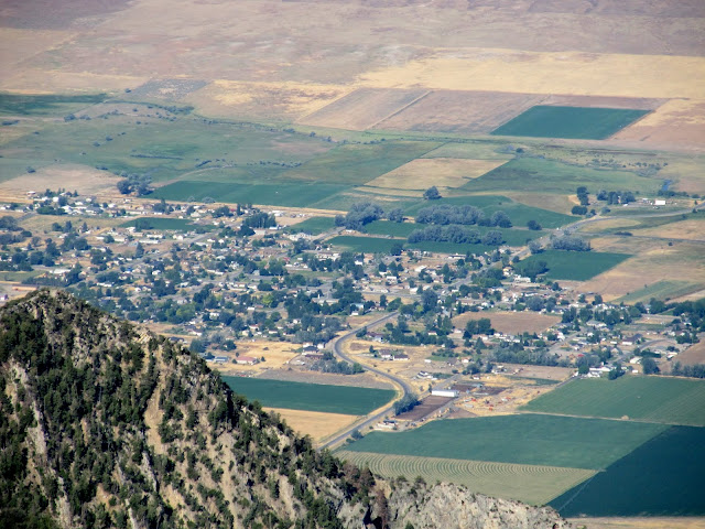
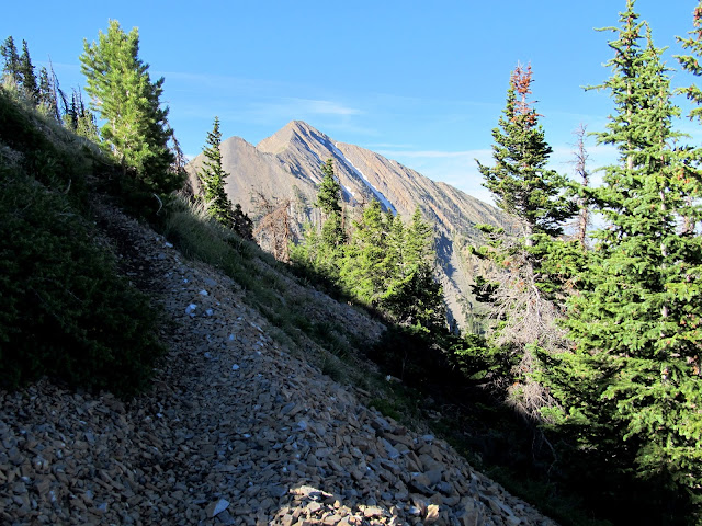
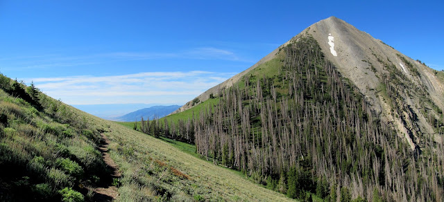
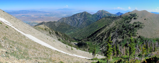
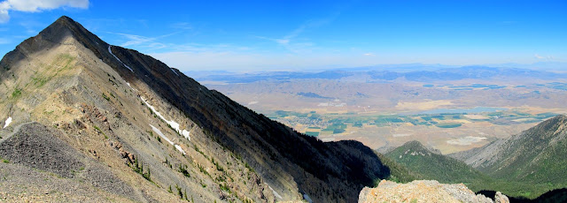
It took about 2.5 hours to reach the main ridge of Mt. Nebo. From there we caught our first views to the west into Juab Valley, with the town of Mona far below. Through the haze I could see Utah Valley and the Wasatch range stretching off to the north. The trail only followed the ridge for a short distance before traversing around the west side of North Peak. That stretch of trail was a welcome relief for two reasons: it didn't gain as much elevation as staying on the ridge would have done, and it was early enough that much of the trail was still shaded by North Peak towering above. We reached Wolf Pass and stopped for a long rest break and a bite to eat.
View into southern Utah Valley
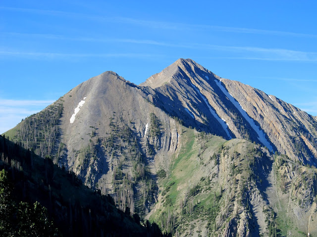
Mt. Nebo
Mona, Utah
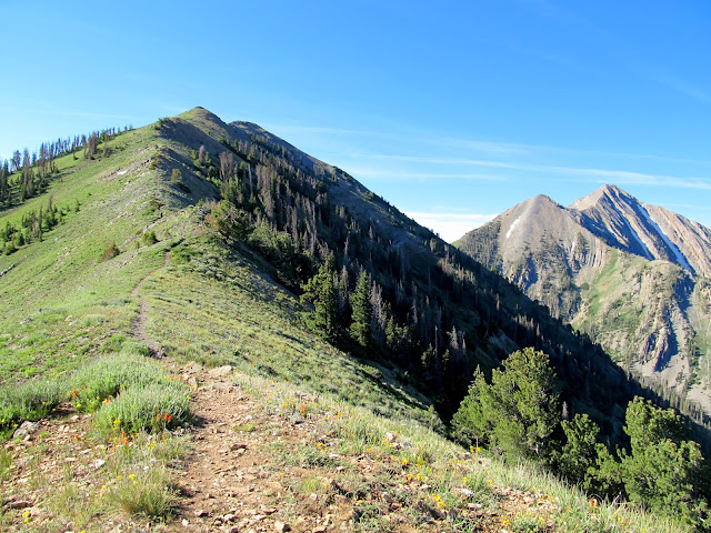
On the Nebo ridge, with North Peak on the left and Nebo on the right
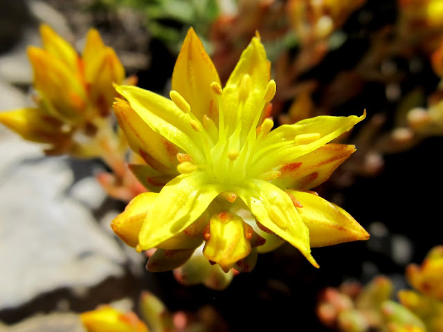
Sedum lanceolatum (Yellow Stonecrop)
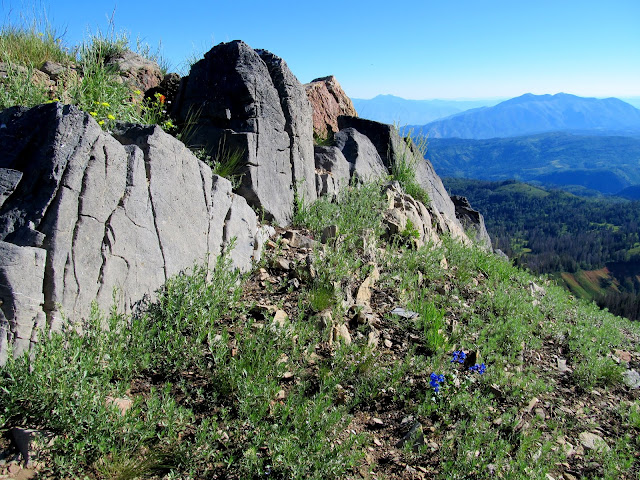
Outcropping of near-vertical rock layers
Traverse around the west side of North Peak
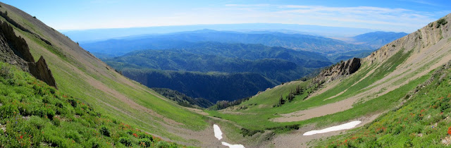
Wolf Pass
View east from Wolf Pass
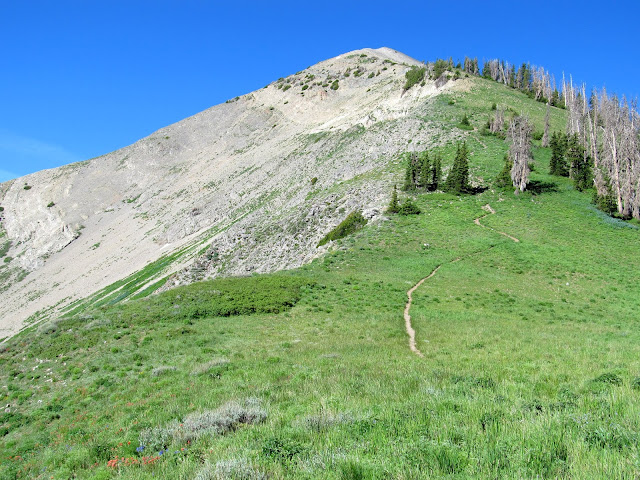
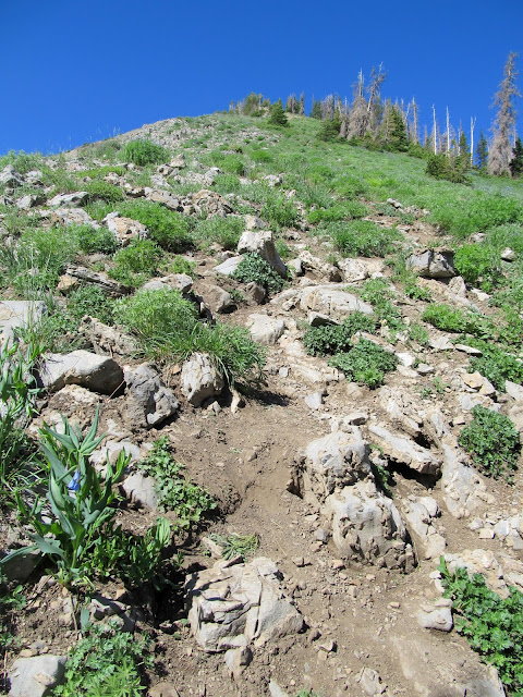
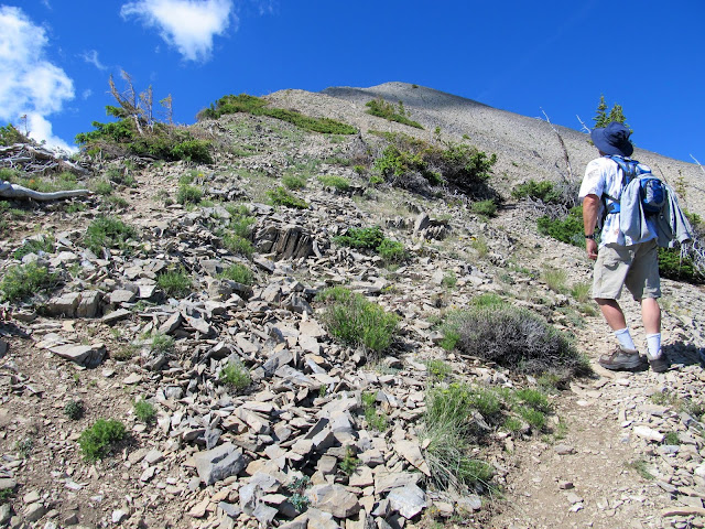
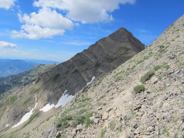
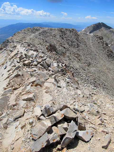
There had been some fairly steep climbs before Wolf Pass, but beyond there the elevation gain became extreme. There was a long, sustained climb to a small summit, then a short but rugged ridge with a lot of ups and downs, and finally another somewhat shorter sustained climb until reaching the summit ridge. The final push to the summit ridge required some scrambling, but once on top it was a short walk to the highest point on Mt. Nebo.
Trail up Mt. Nebo from Wolf Pass
Steep "trail" up Mt. Nebo
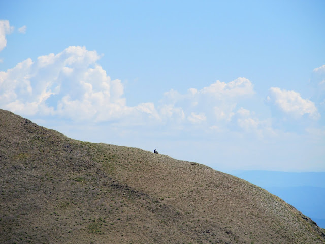
Solo hiker resting on the south slope of North Peak
Mark on the trail up Mt. Nebo
View north from Nebo's north slope
Castilleja miniata (Paintbrush)
Mt. Nebo's eastern flank
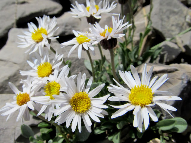
Erigeron coulteri (Coulter's Daisy)
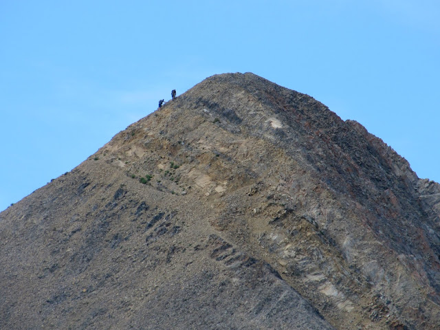
Two hikers about to summit Mt. Nebo
Mt. Nebo and Juab Valley
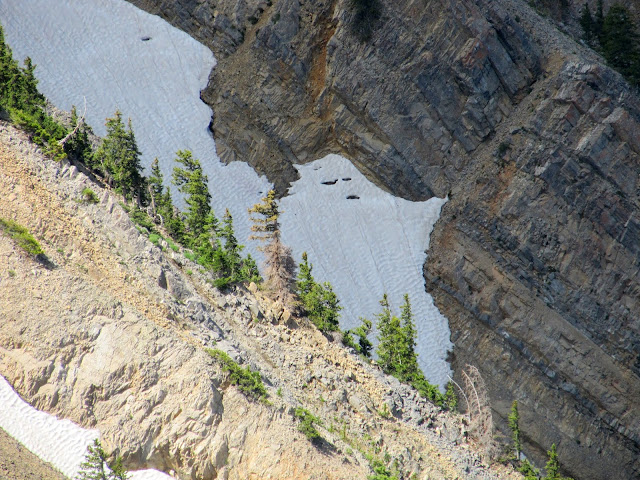
Ghostly snow drift
Steep, rugged trail up Mt. Nebo
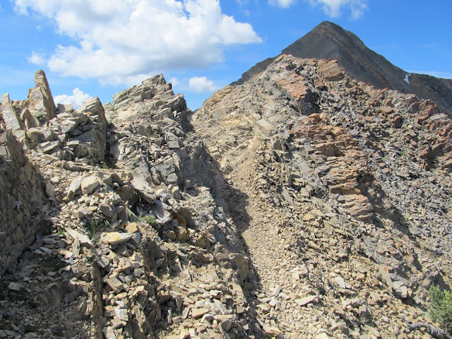
No more trail; time to scramble up this!
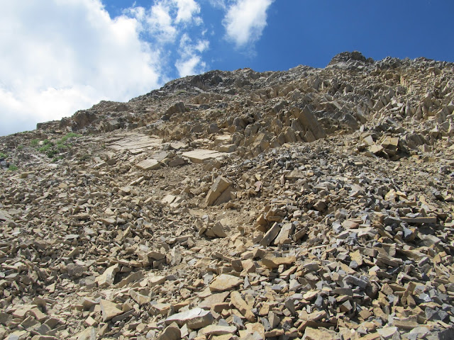
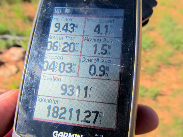
It had taken six hours to reach the summit. The views were incredible but the haze prevented me from getting decent photos of any distant landmarks. Mark and I took another long break at the summit. The scramble down from the summit was a little unnerving due to the abundance of loose rock. Reaching Wolf Pass was a relief because the descent was much easier from there to the trailhead. We got back to the trailhead after a total hike of 9.43 miles in 10 hours and 23 minutes. Though the elevation difference between the trailhead and the summit is 2,700', we'd gained and then lost a total of over 4,000' of elevation due to the ups and downs. There were surprisingly few people on the trail--we'd only seen eight people and one dog on the trail, plus two solo hikers who were off-trail in the North Peak area. Perhaps that shouldn't actually be a surprise considering it was a Sunday in Utah County.") This was possibly one of the most difficult hikes I've done to date, and it was well worth it.
This was possibly one of the most difficult hikes I've done to date, and it was well worth it.
Summit of Mt. Nebo
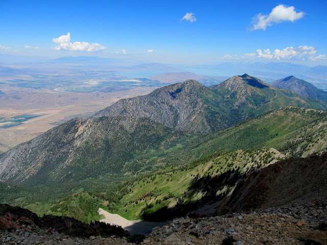
View north from Mt. Nebo
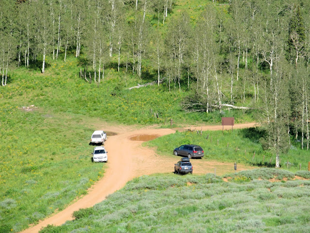
An exquisite sight near the end of a long and rough hike!
GPS stats at the end of the hike
Full photo gallery: https://picasaweb.google.com/Dennis.Udink/MtNebo
[parsehtml]<iframe width="640" height="480" frameborder="0" scrolling="no" marginheight="0" marginwidth="0" src="https://maps.google.com/maps?q=http:%2F%2Fudink.org%2Fgeo%2FMtNebo.kmz&hl=en&sspn=0.082137,0.169086&t=h&ie=UTF8&ll=39.83695,-111.741316&spn=0.030738,0.03824&output=embed"></iframe><br /><small><a href="https://maps.google.com/maps?q=http:%2F%2Fudink.org%2Fgeo%2FMtNebo.kmz&hl=en&sspn=0.082137,0.169086&t=h&ie=UTF8&ll=39.83695,-111.741316&spn=0.030738,0.03824&source=embed" style="color:#0000FF;text-align:left">View Larger Map</a></small>[/parsehtml][Google Earth KMZ] [Google Maps] [Gmap4 Topo]
Featured image for home page:

Utah Lake overlook along the Nebo Loop
Nebo Loop road
Sunrise from the Nebo Loop road
Sunrise
Moon over Mt. Nebo at sunrise
Start of the Mt. Nebo trail
Full moon setting over Mt. Nebo
We watched the full moon set behind the mountain as we worked our way up to the main north-south Nebo ridge. Early on my muscles were feeling tired and I got a little shaky--perhaps due to the severe lack of sleep the night before--but after stopping to rest and eat something I felt much better. As we climbed there were quite nice views behind us to the east. There were a lot of wildflowers in bloom, ranging from lush meadows with large plants at the lower elevations to stunted and sparse flowers in the higher rocky reaches.
View northeast from the trail
Lower trail following a fenceline
San Pitch Mountains to the south
Ipomopsis tenuituba (Slendertube Skyrocket)
Lupinus argenteus (Lupine)
Castilleja rhexiifolia (Rose Paintbrush)
Spool of barbed wire left on a fence
View northeast toward Loafer Mountain
Aquilegia coerulea (Colorado Columbine)
View south along Nebo Bench
Dead tree on the Nebo ridge
Ghostly burned tree
Primula parryi (Parry's Primrose)
Trail traversing a grassy slope
Castilleja rhexiifolia (Rose Paintbrush)
It took about 2.5 hours to reach the main ridge of Mt. Nebo. From there we caught our first views to the west into Juab Valley, with the town of Mona far below. Through the haze I could see Utah Valley and the Wasatch range stretching off to the north. The trail only followed the ridge for a short distance before traversing around the west side of North Peak. That stretch of trail was a welcome relief for two reasons: it didn't gain as much elevation as staying on the ridge would have done, and it was early enough that much of the trail was still shaded by North Peak towering above. We reached Wolf Pass and stopped for a long rest break and a bite to eat.
View into southern Utah Valley
Mt. Nebo
Mona, Utah
On the Nebo ridge, with North Peak on the left and Nebo on the right
Sedum lanceolatum (Yellow Stonecrop)
Outcropping of near-vertical rock layers
Traverse around the west side of North Peak
Wolf Pass
View east from Wolf Pass
There had been some fairly steep climbs before Wolf Pass, but beyond there the elevation gain became extreme. There was a long, sustained climb to a small summit, then a short but rugged ridge with a lot of ups and downs, and finally another somewhat shorter sustained climb until reaching the summit ridge. The final push to the summit ridge required some scrambling, but once on top it was a short walk to the highest point on Mt. Nebo.
Trail up Mt. Nebo from Wolf Pass
Steep "trail" up Mt. Nebo
Solo hiker resting on the south slope of North Peak
Mark on the trail up Mt. Nebo
View north from Nebo's north slope
Castilleja miniata (Paintbrush)
Mt. Nebo's eastern flank
Erigeron coulteri (Coulter's Daisy)
Two hikers about to summit Mt. Nebo
Mt. Nebo and Juab Valley
Ghostly snow drift
Steep, rugged trail up Mt. Nebo
No more trail; time to scramble up this!
It had taken six hours to reach the summit. The views were incredible but the haze prevented me from getting decent photos of any distant landmarks. Mark and I took another long break at the summit. The scramble down from the summit was a little unnerving due to the abundance of loose rock. Reaching Wolf Pass was a relief because the descent was much easier from there to the trailhead. We got back to the trailhead after a total hike of 9.43 miles in 10 hours and 23 minutes. Though the elevation difference between the trailhead and the summit is 2,700', we'd gained and then lost a total of over 4,000' of elevation due to the ups and downs. There were surprisingly few people on the trail--we'd only seen eight people and one dog on the trail, plus two solo hikers who were off-trail in the North Peak area. Perhaps that shouldn't actually be a surprise considering it was a Sunday in Utah County.
This was possibly one of the most difficult hikes I've done to date, and it was well worth it.Summit of Mt. Nebo
View north from Mt. Nebo
An exquisite sight near the end of a long and rough hike!
GPS stats at the end of the hike
Full photo gallery: https://picasaweb.google.com/Dennis.Udink/MtNebo
[parsehtml]<iframe width="640" height="480" frameborder="0" scrolling="no" marginheight="0" marginwidth="0" src="https://maps.google.com/maps?q=http:%2F%2Fudink.org%2Fgeo%2FMtNebo.kmz&hl=en&sspn=0.082137,0.169086&t=h&ie=UTF8&ll=39.83695,-111.741316&spn=0.030738,0.03824&output=embed"></iframe><br /><small><a href="https://maps.google.com/maps?q=http:%2F%2Fudink.org%2Fgeo%2FMtNebo.kmz&hl=en&sspn=0.082137,0.169086&t=h&ie=UTF8&ll=39.83695,-111.741316&spn=0.030738,0.03824&source=embed" style="color:#0000FF;text-align:left">View Larger Map</a></small>[/parsehtml][Google Earth KMZ] [Google Maps] [Gmap4 Topo]
Featured image for home page: