- Joined
- May 31, 2015
- Messages
- 3,326
June 23, 2024
I haven't put a day hike on here in a while, and I figured we don't get much from the Bridgers on here, so here we go!
Set out to "run" up Middle Cottonwood Canyon outside of Bozeman this morning. I forgot how much elevation was involved, which was probably for the best because I may not have felt up to it otherwise. I attempted hiking it with a friend in 2022, but we didn't make it thanks to snow and him getting too fatigued.
Got to the trailhead somewhat early, which was good because this trail gets busy and it was supposed to be hot later. I started at a run and kept it up for the first mile. The trail gets steeper and steeper the higher you get, so I just tried to hike the steeper parts quickly.
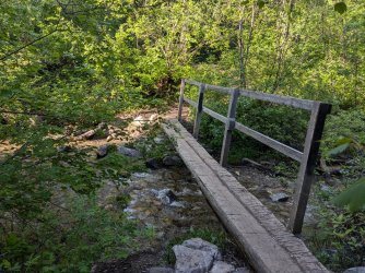
Bridge a little ways in. You're on your own for the 4 or 5 crossings after this.
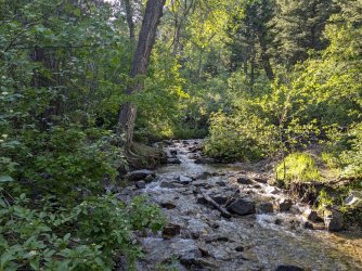
From the bridge looking upstream.
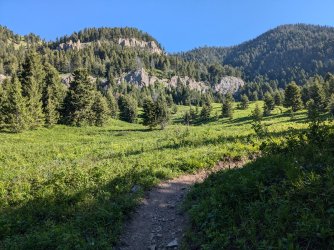
This meadow is a couple of miles in. Seems like the majority of day hikers go here and then turn around.
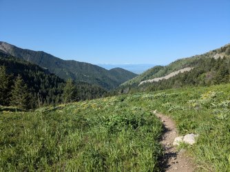
Higher up in the meadow. Tobacco Roots showing up in the distance.
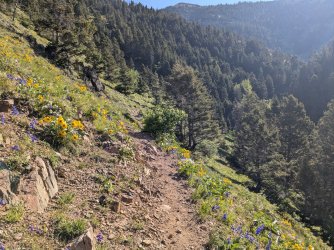
Low larkspur and arrowleaf balsamroot were the stars of the wildflower show today.
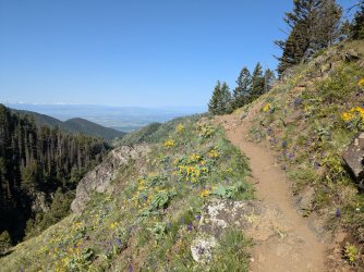
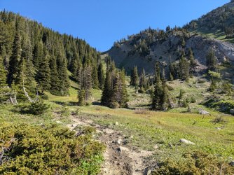
Headed for that little saddle right there, then up to the right. Trail goes through the trees on the left through a bunch of switchbacks.
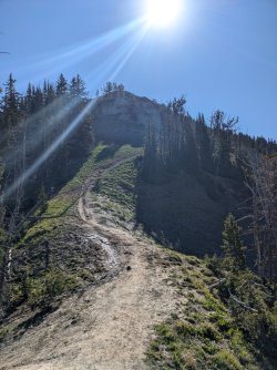
At the small saddle. I was starting to feel pretty gassed at this point.
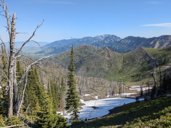
Looking north. Bostwick canyon below. Unfun fact: you can't access that canyon from its mouth because of private property, although there is a trail marked on maps. I'd like to hike down into it someday, but who knows when that will be.
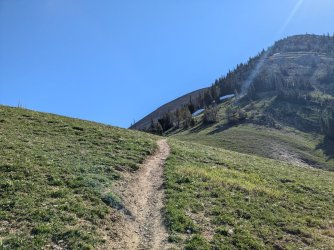
Making my way over toward the final climb.
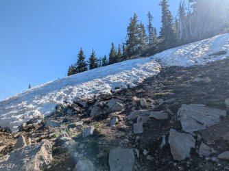
There wasn't much snow to deal with. This was a really short stretch, and there was one more a little ways up.
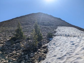
Bridger Peak, the destination.
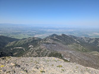
At the top. Looking west-ish. A little more hazy than usual today.
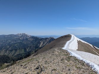
Looking north. Saddle Peak is the close one with people on it. I opted not to go over there, and I slightly regret it since it was so close.
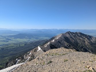
Looking south. Gallatin range center-right. Montana Absarokas to the left.
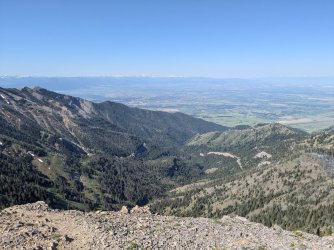
A look down Middle Cottonwood canyon.
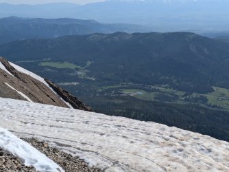
Bridger Bowl parking area below.
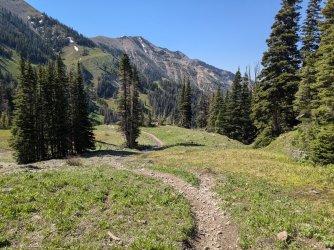
Headed back down. I ran all the way back after I was through the dicey rocky sections up high. It was getting hot (to me) and busy on the way down. My legs are tired and I'm happy I did this one! The mountains are open for summer business.
I haven't put a day hike on here in a while, and I figured we don't get much from the Bridgers on here, so here we go!
Set out to "run" up Middle Cottonwood Canyon outside of Bozeman this morning. I forgot how much elevation was involved, which was probably for the best because I may not have felt up to it otherwise. I attempted hiking it with a friend in 2022, but we didn't make it thanks to snow and him getting too fatigued.
Got to the trailhead somewhat early, which was good because this trail gets busy and it was supposed to be hot later. I started at a run and kept it up for the first mile. The trail gets steeper and steeper the higher you get, so I just tried to hike the steeper parts quickly.

Bridge a little ways in. You're on your own for the 4 or 5 crossings after this.

From the bridge looking upstream.

This meadow is a couple of miles in. Seems like the majority of day hikers go here and then turn around.

Higher up in the meadow. Tobacco Roots showing up in the distance.

Low larkspur and arrowleaf balsamroot were the stars of the wildflower show today.


Headed for that little saddle right there, then up to the right. Trail goes through the trees on the left through a bunch of switchbacks.

At the small saddle. I was starting to feel pretty gassed at this point.

Looking north. Bostwick canyon below. Unfun fact: you can't access that canyon from its mouth because of private property, although there is a trail marked on maps. I'd like to hike down into it someday, but who knows when that will be.

Making my way over toward the final climb.

There wasn't much snow to deal with. This was a really short stretch, and there was one more a little ways up.

Bridger Peak, the destination.

At the top. Looking west-ish. A little more hazy than usual today.

Looking north. Saddle Peak is the close one with people on it. I opted not to go over there, and I slightly regret it since it was so close.

Looking south. Gallatin range center-right. Montana Absarokas to the left.

A look down Middle Cottonwood canyon.

Bridger Bowl parking area below.

Headed back down. I ran all the way back after I was through the dicey rocky sections up high. It was getting hot (to me) and busy on the way down. My legs are tired and I'm happy I did this one! The mountains are open for summer business.
Last edited:
