- Joined
- Dec 23, 2013
- Messages
- 4,047
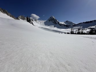
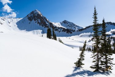
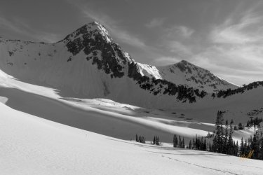
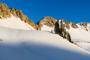
Back in February, @Ugly invited @regehr and I to join him and his friend The Swede on an overnight snowshoe up to Maybird Gulch sometime in May. We both gladly accepted his kind offer. Now I have been to Maybird Gulch twice before, once about 27 years ago as a destination, and a second time after summiting the Pfeifferhorn and coming down the headwall into Maybird and out. Both of those hikes took place in the summer months where there was little snow left in the gulch, being mostly bolder and rock fields to contend with, along with three small lakes in the lower part of the gulch.
I started training in earnest for this for this trip in March, and really ramping it up the last month with hikes up Mount Wire, to the Dude Benchmark, Mount Van Cott and the Black Mountain Ridge, and finally the Dragon Tail Route up on a loop of Grandeur Peak. The last three being long miles for this old fart so I'd have some endurance for Maybird. Still, with these warmup hikes under my belt, I knew that snowshoeing was going to be more difficult than just hiking, but I held out hope that I'd prepared well enough to make it to camp on the 9th.
It turned out that there were five of us in our group: myself, regehr, Ugly, The Swede, and a final addition of regehr's son Jonas. Now the four of them started out earlier in the day to reach Maybird, while I finished up work on Friday before heading up to the White Pine Trailhead in Little Cottonwood Canyon. Another thing that I should mention was that Friday was turning out to be the hottest day of the year thus far with a predicted temperature of 84 degrees in the valley, only to be outdone by the 88 degrees on our way out on Saturday.
I reached the trailhead about 2:40 in afternoon, and was on the trail by 2:50 pm. The first couple of miles, I wore my spikes, but once I reached the Red Pine Lake / Maybird Gulch junction, I switched over to snowshoes. On my way to the Maybird Trail, I saw someone approaching who called out, "Hey Scatman!" It turned out to be none other than @danger02ward ! What a kick in the pants. He said that he had joined the rest of the group on their snowshoe up to camp and was just heading back to the trailhead.
While the climb had been steady up to that point, once crossing over to the west side of Red Pine Fork the hills became much tougher. I followed the snowshoe tracks of the four of them, realizing pretty quickly that they were taking an as the crow flies route instead of the main trail to Maybird. There may have been some cussing going on at this point at what seemed to be steep hill after steep hill. Eventually, I saw my first view of the Pfeifferhorn ahead and thought that I must almost be there. Boy was that a mistake with still a few more hills to conquer. By the time I reached camp, I was pooped. It took me 4 hours and 25 minutes to get there. After laying out a tarp on the snow to put my gear on, we all enjoyed dinner as the sun faded behind the ridge on the west side of the gulch. Of course, the Pfiefferhorn was absolutely beautiful in the evening sun and I took advantage by taking numerous pictures. Unfortunately at some point on the snowshoe portion up to camp my lens hood had turned slightly and I didn't realize it until well at camp. You think I'd learn!
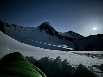
After waiting for the stars and the moon to come out, I eventually called it a night as my feet were frozen. It got cold quickly after the sun had dipped below the western ridge earlier. The moonlight lit up the whole basin through most of the night and every time I woke up and looked out, I thought to myself that this was a special place indeed.
I woke up just after 5:30 am on Saturday morning and waited for the sunrise to hit the top of the Pfieff, and that occurred at 6:19 am and of course i had to get shots of that. The Swede and Ugly were up to waiting for that fist sunlight to reach to summit.
After the sun had made it maybe halfway across the gulch (we were still in the shade on the east side), it was time to put on frozen socks and boots in order to eat some breakfast and then pack our gear to head back to the trailhead.
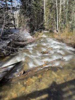
Eventually the sun reached us and it felt magnificent. Not before too long, we were packed up and heading down what we had come up the day before. Both on the way up and going back down, we had excellent views of the Cottonwood Ridge to our north. Again, much picture taking on my part as we descended. Other than that, not too much to report on our way down. We reached the Maybird/Red Pine Junction, and most of us slipped out of our snowshoes and replace them with microspikes. The others were out in front of me as I was always stopping to take pictures, and they reached the White Pine/Red Pine junction before me. As I approached White Pine Fork, I noticed a snow bridge across that I headed for. Unfortunately for me, the snow bridge collapsed as I crossed and I fell into White Pine Fork. The water was strong enough that it swept me down maybe 10 feet before I was able to grab a branch that held me in place. If it hadn't been for that branch, I would have ended up in the hole under the next snow bridge, and that didn't look too pleasing to me. Anyway the force of the water was strong, and it was cold, my backpack was soaking wet and I was in such a spot where I couldn't really move upstream at all as long as I had my pack on.
Fortunately for me, The Swede had seen me go in and came to the rescue. At first he tried to pull me up by himself, but that wasn't happening as long as I had my pack on. I was able to remove my camera from my shoulder strap clip and hand it to The Swede. He then cam back for my pack that I was able to remove. Once the pack was off my back, I needed to reach out for the willow branches that were upstream. I had a foot on a rock next the bank along with the branch I was holding onto, but there was nothing for me to stand on in the middle of the fork - too deep. So with the Swede's help, pulling on my right arm I was able to reach out for the willow branches that were in front of me and pull myself higher up the creek. Once I had a frim grasp of the willow branches, I was able to get a foothold on the bottom of the fork and The Swede and @regehr, who had joined the rescue attempt, pulled me up and out. Whew! That was a scary few minutes for the Scatman. A passionate Thank You to The Swede, regehr, and the branches along the bank for helping me out of that pickle.
So I was soaking wet, my pack was soaking wet, and my cameras were both soaking wet. It was a good thing that we only had one more mile to get back to the trailhead. When I got to my Subaru and rove home, I didn't put the windows down all the way home and just baked in the sun heated car, and it felt so good. It was crazy how cold I had gotten while in the creek, and even though it was a warm day, I really didn't warm up on that last mile hike down. I may have curled up in the fetal position when I got home.
Anyway, it was a great trip with some wonderful people, now lets get to some pictures shall we.
Friday, May 9th
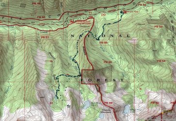
Map of route into Maybird. GPS points courtesy of @Ugly from a previous trip to the gulch. Our actual route for this one more or less follows the spaced out dots heading straight up the draw, with the star being our campsite.
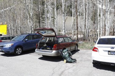
The Sube at the beginning. Normally I inlcude this at the end, but no picture taking after I fell into the drink.
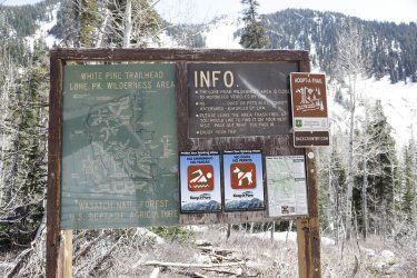
Info sign at the trailhead. Notice the No Swimming sign.
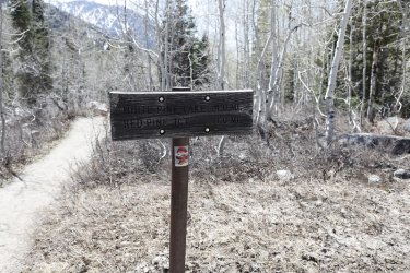
Mileage sign
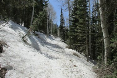
Typical of the first part of the hike. This used to be an old Jeep road that would take you to White Pine Lake. I had a coworker
,who has been retired for 20 years now, who used to take his Jeep up to White Pine back in his younger days.
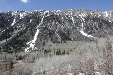
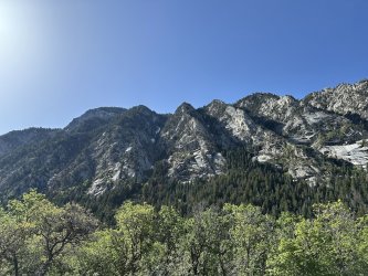
Views of the Cottonwood Ridge are one of the highlights of this trip
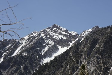
Sunrise Peak above
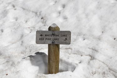
The White Pine / Red Pine junction sign
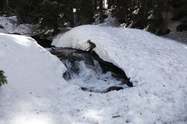
Take a good look at that snow bridge.
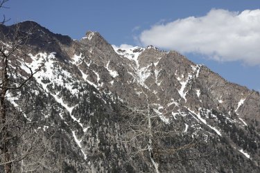
Looking up canyon at the Cottonwood Ridge with Monte Cristo and Mount Superior above
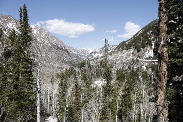
View up Little Cottonwood Canyon. You can also see the switchbacks on the old Jeep road heading up to White Pine Lake on the
right of the image
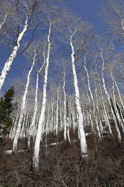
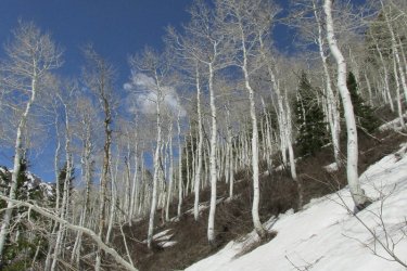
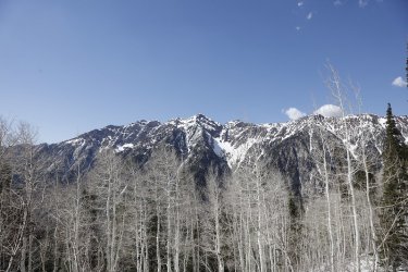
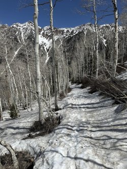
Just love the leafless aspen this time of year
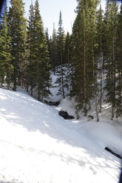
Red Pine Fork
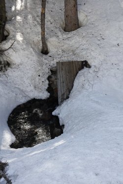
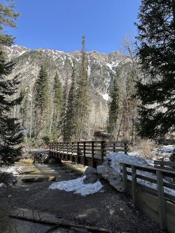
Looks like the bridge to Maybird is out
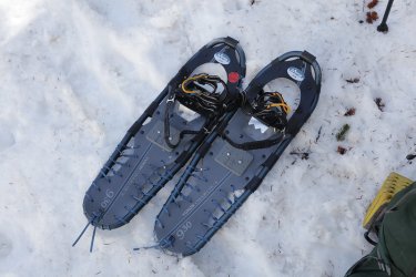
Snowshoe time
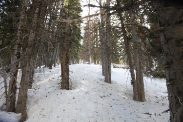
Straight up right off the bat. Did I say I might have been cussing going up this section?
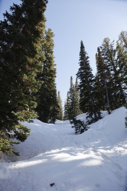
It was never ending. This might have been what @Ugly refers to as "Hill Two." Funny.
I felt that t here were a lot more than three hills.
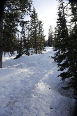
Hill three maybe? Or was it fifteen?
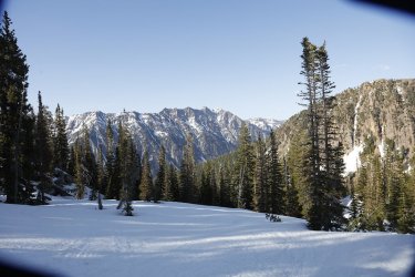
A semi flat spot. At this point my lens hood has turned slightly, with the Cottonwood Ridge in the distance
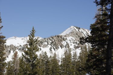
I believe that to be Thunder Mountain, located on the ridge between White Pine and Red Pine Lakes
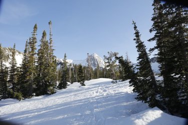
The Pfeifferhorn comes into view! I though I was almost there! Fat chance sucker!
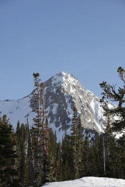
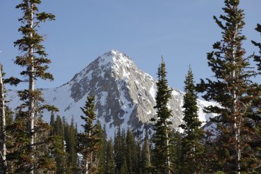
Sorry, but you are going to get a lot of Pfieff pics
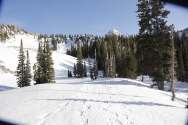
Lord have Mercy! More hills!
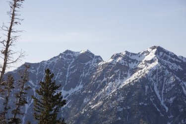
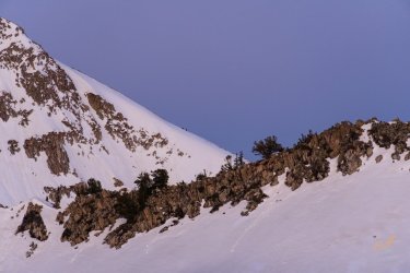
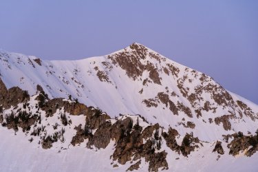
Broads Fork Twin Peaks, Jepson's Folly and Sunrise Peak on the west end of the Cottonwood Ridge
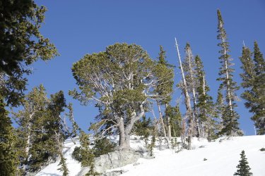
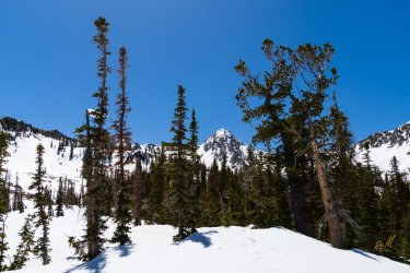
A white pine. One of my favorite shots of the trip.
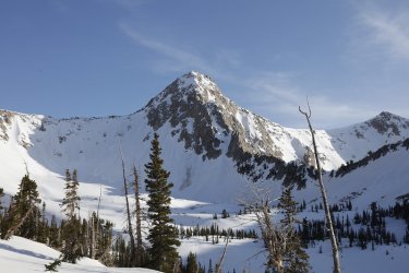
The Pfeifferhorn in all its glory. Now were are those rascals camped?
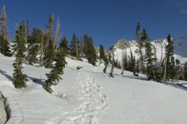
Of course, we aren't quite done with the hills.
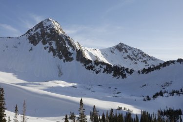
The Pfeiff along with Upwop to the west
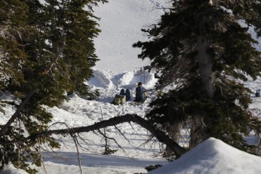
And what do we have here?
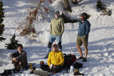
Group shots sans the Scatman
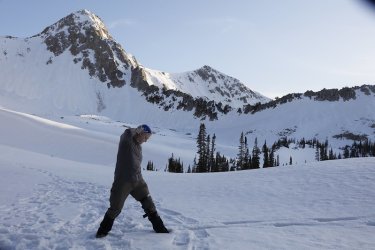
I think there is something in my pocket, just before the bikini move
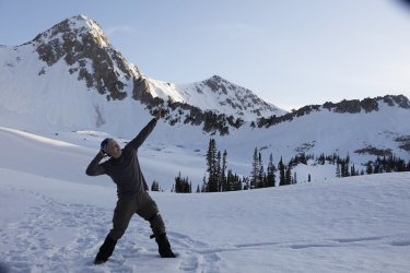
Cover your eyes! The bikini pose!
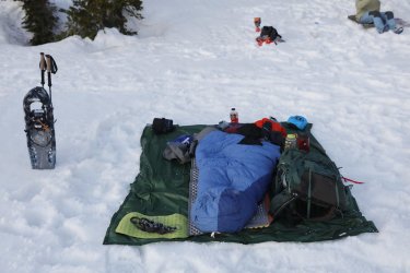
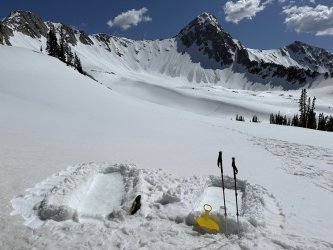
My setup
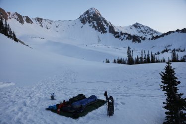
View from my setup
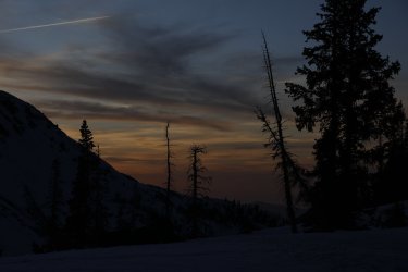
Sunset
Saturday, May 10th
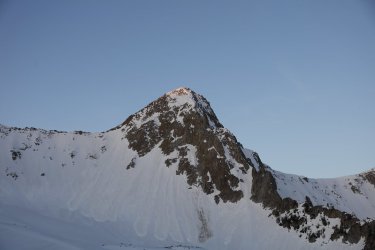
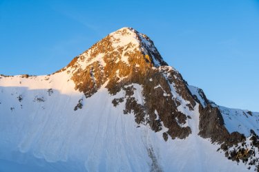
First light on the Pfeifferhorn - 6:19 am
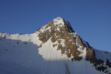
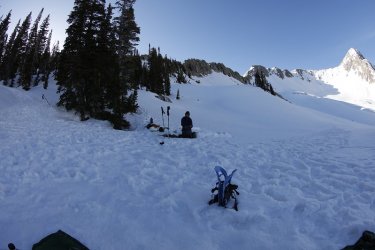
Waiting now for the sun to reach us. It'll be awhile yet.
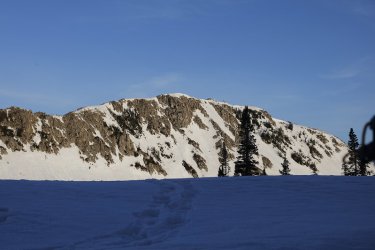
Unnamed ridge to our west high point 10,516
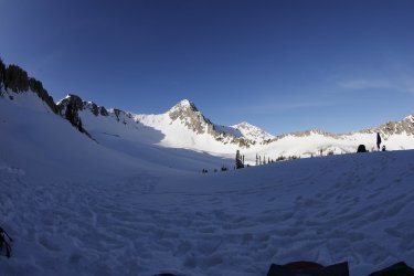
Put on the extra wide lens for some funky shots.
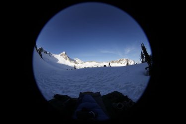
The Swede
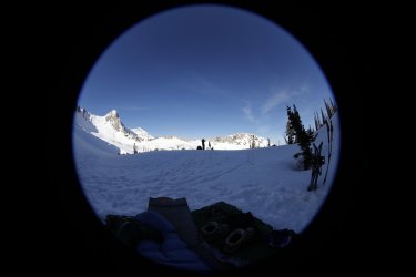
@regehr's silhouette
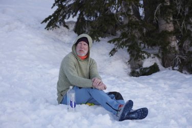
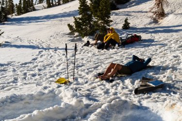
Ready for the day ahead
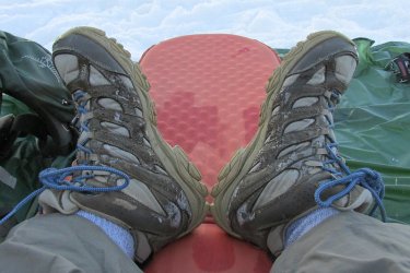
Frozen socks and boots
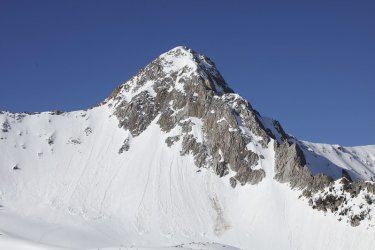
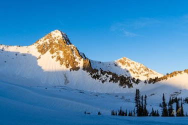
Update on the sun and the Pfeiff
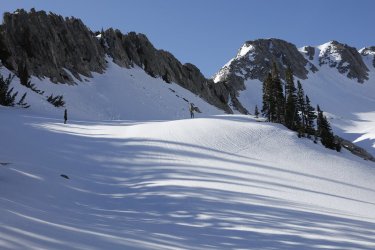
Preparing to take slide down the hill next to camp
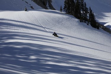
The Swede was a pro at this
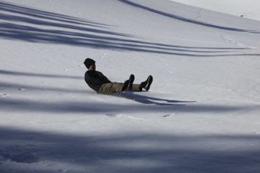
Jonas gives it a try
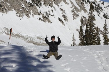
And a two thumbs up on sticking a perfect 10!
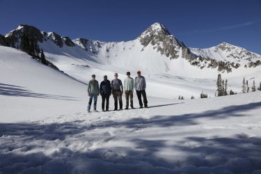
Group shot before heading out.
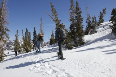
And we are on our way
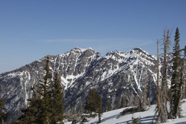
More Broads Fork Twin Peaks in the morning light this time
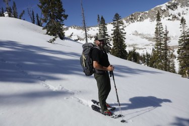
The Swede passes me by.
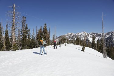
Somewhere up ahead is what @Ugly refers to as hill number one
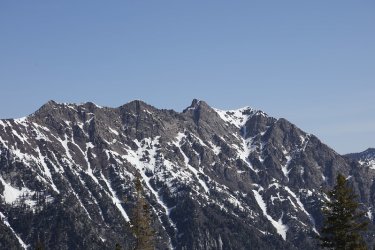
Another look at Monte Cristo and Mount Superior on the west side of the Cottonwood Ridge, with Monte Cristo being the crux of
the entire ridge,
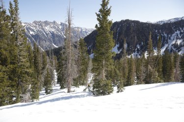
Hill number one
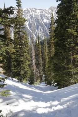
Hill number two
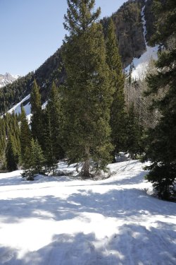
And last but not least, hill number three
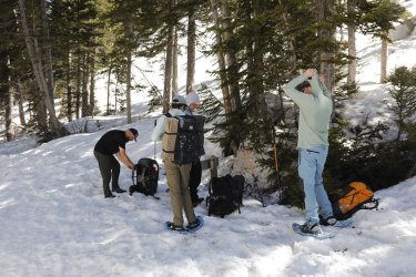
Back at the Maybird/Red Pine junction
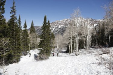
Out ahead of the Scat
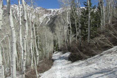
Snow softening up quite a bit
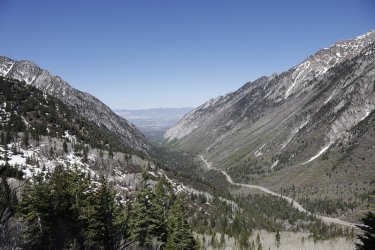
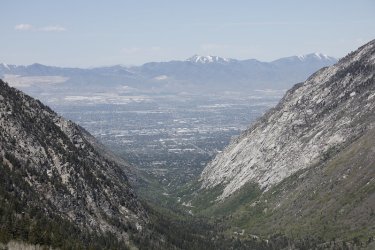
The mouth of Little Cottonwood Canyon
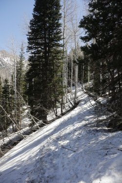
Last know picture taken by the Scatman. Who knew a dip in White Pine Fork lay ahead.

Stopped by Papa Murphy's on my way home and got the Taco Grande Pizza. My wife wanted to try it. The person taking my order
wanted to know if I wanted chicken of beef. I decided on half and half. The chicken side was actually quite good, the beef side not
so much.
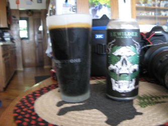
Bad shot! To replace all the calories that I burned, we have here a Lord of the Ryes Rye Stout from Bewilder Brewery here in Salt Lake
The End.
I started training in earnest for this for this trip in March, and really ramping it up the last month with hikes up Mount Wire, to the Dude Benchmark, Mount Van Cott and the Black Mountain Ridge, and finally the Dragon Tail Route up on a loop of Grandeur Peak. The last three being long miles for this old fart so I'd have some endurance for Maybird. Still, with these warmup hikes under my belt, I knew that snowshoeing was going to be more difficult than just hiking, but I held out hope that I'd prepared well enough to make it to camp on the 9th.
It turned out that there were five of us in our group: myself, regehr, Ugly, The Swede, and a final addition of regehr's son Jonas. Now the four of them started out earlier in the day to reach Maybird, while I finished up work on Friday before heading up to the White Pine Trailhead in Little Cottonwood Canyon. Another thing that I should mention was that Friday was turning out to be the hottest day of the year thus far with a predicted temperature of 84 degrees in the valley, only to be outdone by the 88 degrees on our way out on Saturday.
I reached the trailhead about 2:40 in afternoon, and was on the trail by 2:50 pm. The first couple of miles, I wore my spikes, but once I reached the Red Pine Lake / Maybird Gulch junction, I switched over to snowshoes. On my way to the Maybird Trail, I saw someone approaching who called out, "Hey Scatman!" It turned out to be none other than @danger02ward ! What a kick in the pants. He said that he had joined the rest of the group on their snowshoe up to camp and was just heading back to the trailhead.
While the climb had been steady up to that point, once crossing over to the west side of Red Pine Fork the hills became much tougher. I followed the snowshoe tracks of the four of them, realizing pretty quickly that they were taking an as the crow flies route instead of the main trail to Maybird. There may have been some cussing going on at this point at what seemed to be steep hill after steep hill.
After waiting for the stars and the moon to come out, I eventually called it a night as my feet were frozen. It got cold quickly after the sun had dipped below the western ridge earlier. The moonlight lit up the whole basin through most of the night and every time I woke up and looked out, I thought to myself that this was a special place indeed.
I woke up just after 5:30 am on Saturday morning and waited for the sunrise to hit the top of the Pfieff, and that occurred at 6:19 am and of course i had to get shots of that. The Swede and Ugly were up to waiting for that fist sunlight to reach to summit.
After the sun had made it maybe halfway across the gulch (we were still in the shade on the east side), it was time to put on frozen socks and boots in order to eat some breakfast and then pack our gear to head back to the trailhead.
Eventually the sun reached us and it felt magnificent. Not before too long, we were packed up and heading down what we had come up the day before. Both on the way up and going back down, we had excellent views of the Cottonwood Ridge to our north. Again, much picture taking on my part as we descended. Other than that, not too much to report on our way down. We reached the Maybird/Red Pine Junction, and most of us slipped out of our snowshoes and replace them with microspikes. The others were out in front of me as I was always stopping to take pictures, and they reached the White Pine/Red Pine junction before me. As I approached White Pine Fork, I noticed a snow bridge across that I headed for. Unfortunately for me, the snow bridge collapsed as I crossed and I fell into White Pine Fork. The water was strong enough that it swept me down maybe 10 feet before I was able to grab a branch that held me in place. If it hadn't been for that branch, I would have ended up in the hole under the next snow bridge, and that didn't look too pleasing to me. Anyway the force of the water was strong, and it was cold, my backpack was soaking wet and I was in such a spot where I couldn't really move upstream at all as long as I had my pack on.
Fortunately for me, The Swede had seen me go in and came to the rescue. At first he tried to pull me up by himself, but that wasn't happening as long as I had my pack on. I was able to remove my camera from my shoulder strap clip and hand it to The Swede. He then cam back for my pack that I was able to remove. Once the pack was off my back, I needed to reach out for the willow branches that were upstream. I had a foot on a rock next the bank along with the branch I was holding onto, but there was nothing for me to stand on in the middle of the fork - too deep. So with the Swede's help, pulling on my right arm I was able to reach out for the willow branches that were in front of me and pull myself higher up the creek. Once I had a frim grasp of the willow branches, I was able to get a foothold on the bottom of the fork and The Swede and @regehr, who had joined the rescue attempt, pulled me up and out. Whew! That was a scary few minutes for the Scatman. A passionate Thank You to The Swede, regehr, and the branches along the bank for helping me out of that pickle.
So I was soaking wet, my pack was soaking wet, and my cameras were both soaking wet. It was a good thing that we only had one more mile to get back to the trailhead. When I got to my Subaru and rove home, I didn't put the windows down all the way home and just baked in the sun heated car, and it felt so good. It was crazy how cold I had gotten while in the creek, and even though it was a warm day, I really didn't warm up on that last mile hike down. I may have curled up in the fetal position when I got home.
Anyway, it was a great trip with some wonderful people, now lets get to some pictures shall we.
Friday, May 9th

Map of route into Maybird. GPS points courtesy of @Ugly from a previous trip to the gulch. Our actual route for this one more or less follows the spaced out dots heading straight up the draw, with the star being our campsite.

The Sube at the beginning. Normally I inlcude this at the end, but no picture taking after I fell into the drink.

Info sign at the trailhead. Notice the No Swimming sign.

Mileage sign

Typical of the first part of the hike. This used to be an old Jeep road that would take you to White Pine Lake. I had a coworker
,who has been retired for 20 years now, who used to take his Jeep up to White Pine back in his younger days.

Views of the Cottonwood Ridge are one of the highlights of this trip

Sunrise Peak above

The White Pine / Red Pine junction sign

Take a good look at that snow bridge.

Looking up canyon at the Cottonwood Ridge with Monte Cristo and Mount Superior above

View up Little Cottonwood Canyon. You can also see the switchbacks on the old Jeep road heading up to White Pine Lake on the
right of the image


Just love the leafless aspen this time of year

Red Pine Fork

Looks like the bridge to Maybird is out

Snowshoe time

Straight up right off the bat. Did I say I might have been cussing going up this section?

It was never ending. This might have been what @Ugly refers to as "Hill Two." Funny.
I felt that t here were a lot more than three hills.

Hill three maybe? Or was it fifteen?

A semi flat spot. At this point my lens hood has turned slightly, with the Cottonwood Ridge in the distance

I believe that to be Thunder Mountain, located on the ridge between White Pine and Red Pine Lakes

The Pfeifferhorn comes into view! I though I was almost there! Fat chance sucker!


Sorry, but you are going to get a lot of Pfieff pics

Lord have Mercy! More hills!

Broads Fork Twin Peaks, Jepson's Folly and Sunrise Peak on the west end of the Cottonwood Ridge

A white pine. One of my favorite shots of the trip.

The Pfeifferhorn in all its glory. Now were are those rascals camped?

Of course, we aren't quite done with the hills.

The Pfeiff along with Upwop to the west

And what do we have here?

Group shots sans the Scatman

I think there is something in my pocket, just before the bikini move

Cover your eyes! The bikini pose!

My setup

View from my setup

Sunset
Saturday, May 10th

First light on the Pfeifferhorn - 6:19 am

Waiting now for the sun to reach us. It'll be awhile yet.

Unnamed ridge to our west high point 10,516

Put on the extra wide lens for some funky shots.


The Swede

@regehr's silhouette

Ready for the day ahead

Frozen socks and boots

Update on the sun and the Pfeiff

Preparing to take slide down the hill next to camp

The Swede was a pro at this

Jonas gives it a try

And a two thumbs up on sticking a perfect 10!

Group shot before heading out.

And we are on our way

More Broads Fork Twin Peaks in the morning light this time

The Swede passes me by.

Somewhere up ahead is what @Ugly refers to as hill number one

Another look at Monte Cristo and Mount Superior on the west side of the Cottonwood Ridge, with Monte Cristo being the crux of
the entire ridge,

Hill number one

Hill number two

And last but not least, hill number three

Back at the Maybird/Red Pine junction

Out ahead of the Scat

Snow softening up quite a bit


The mouth of Little Cottonwood Canyon

Last know picture taken by the Scatman. Who knew a dip in White Pine Fork lay ahead.

Stopped by Papa Murphy's on my way home and got the Taco Grande Pizza. My wife wanted to try it. The person taking my order
wanted to know if I wanted chicken of beef. I decided on half and half. The chicken side was actually quite good, the beef side not
so much.

Bad shot! To replace all the calories that I burned, we have here a Lord of the Ryes Rye Stout from Bewilder Brewery here in Salt Lake
The End.
Last edited:

