Udink
Still right here.
- Joined
- Jan 17, 2012
- Messages
- 1,748
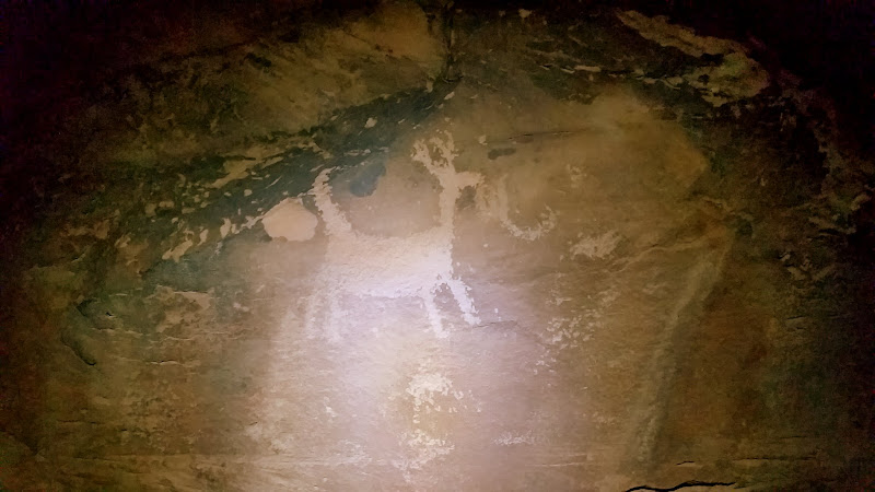
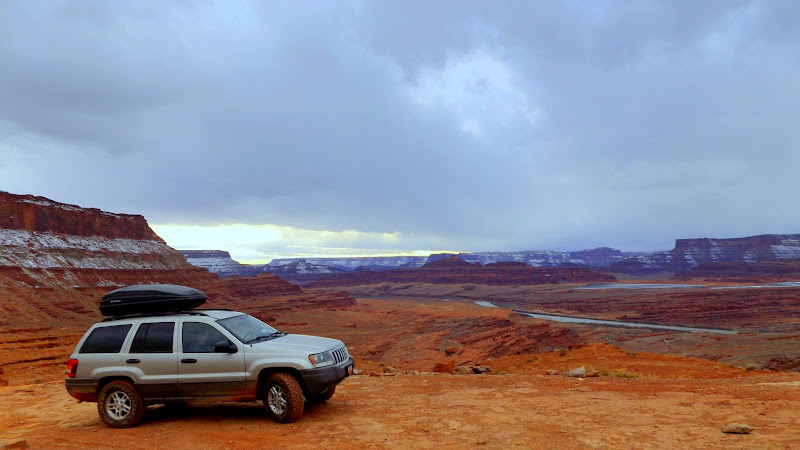
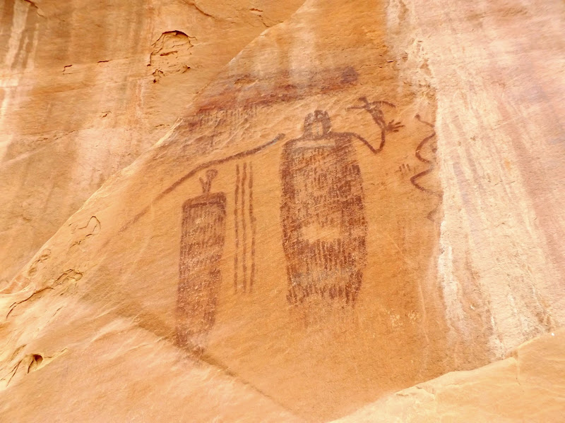
On the last weekend in January I took my wife and another couple to Moab, taking advantage of cheap winter motel rates to sleep comfortably while still enjoying relatively warmer daytime weather than at home. Chris and Dollie met us in Price and we piled into the Swell Jeep for the drive to Moab. After checking into the Inca Inn and then enjoying dinner at Moab Brewery, we did some nighttime geocaching in and around the Matheson Wetlands Preserve, and even accidentally stumbled upon some petroglyphs.
Petroglyph illuminated by headlamp
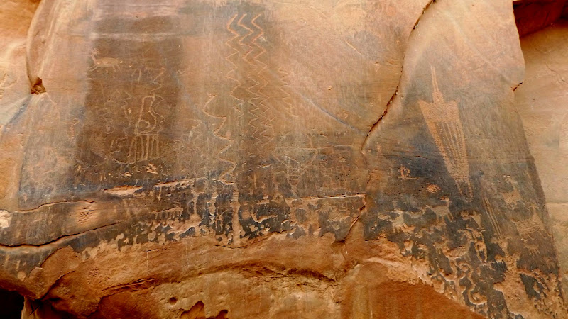
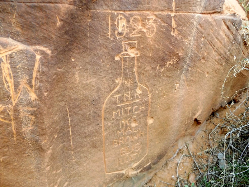
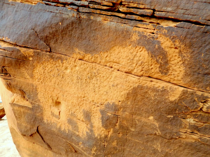
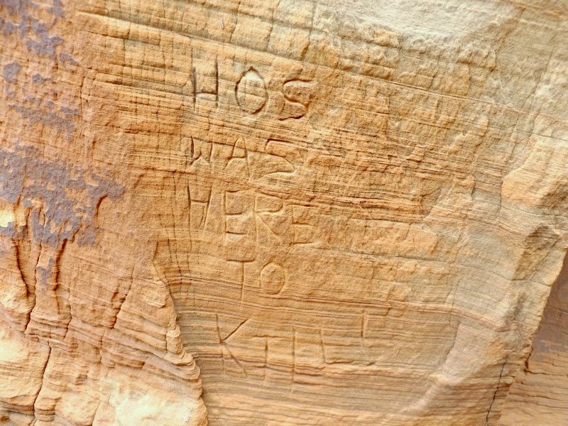
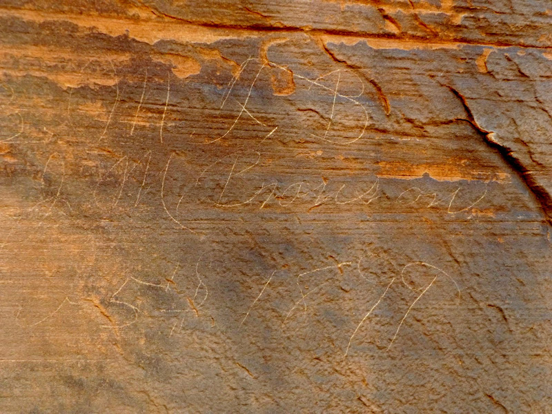
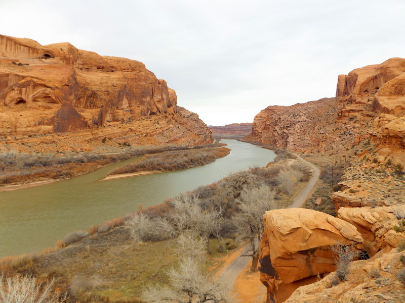
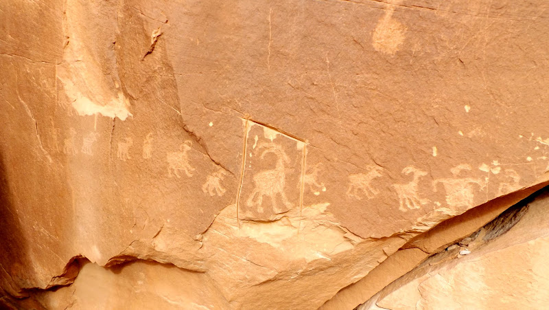
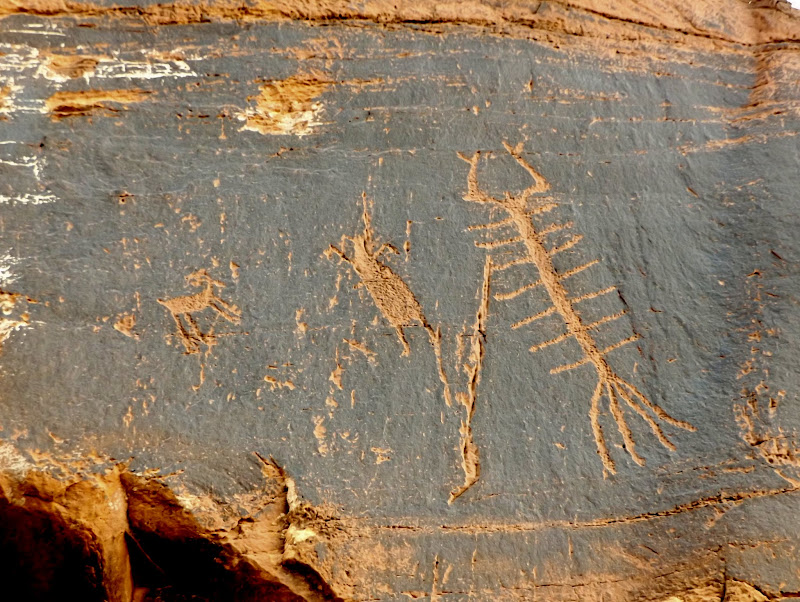
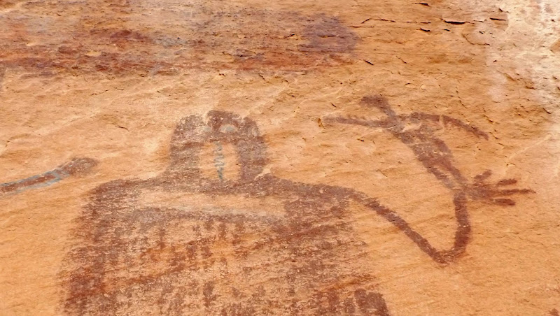
We decided to drive up Kane Creek (aka Kane Springs Canyon) on Saturday morning. I purposely didn't do much research on the area before this trip--I was hoping to simply wander and explore rather than follow a specific itinerary. A quick stop at Moonflower Canyon revealed some petroglyphs and inscriptions. Between there and Kane Creek we kept a sharp eye out and found several more petroglyph panels.
Moonflower petroglyphs
1923 bottle inscriptions
Traci and Dollie
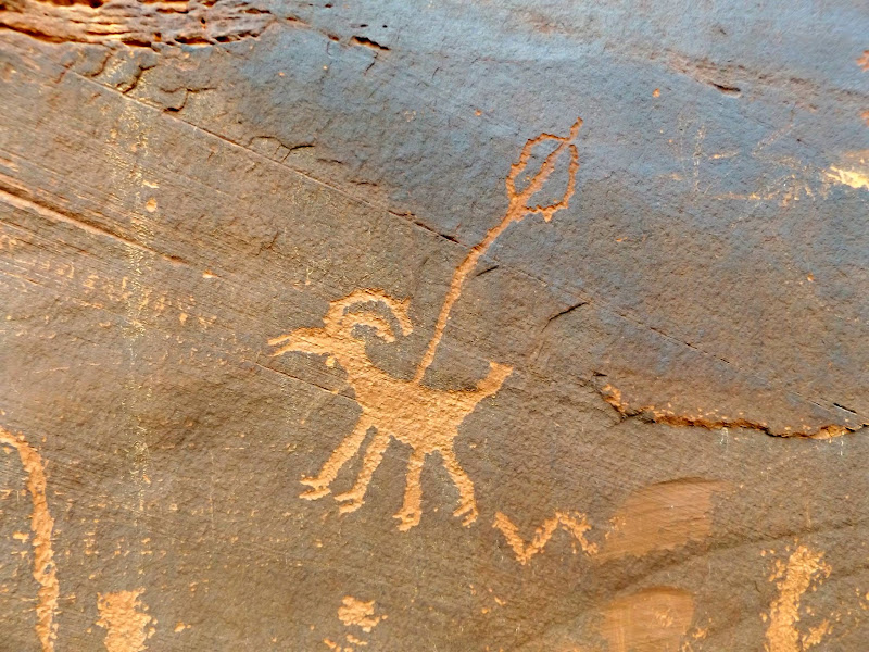
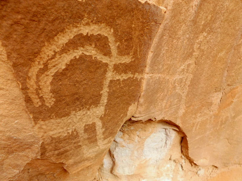
Bighorn sheep and atlatl
"Hey, back up, I think I saw some rock art!"
Bear petroglyph
Ground-level petroglyphs
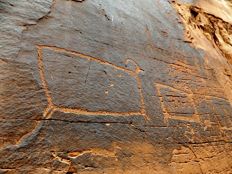
Moab Mastodon
Hos was here to kill!
M.F.B., J.M. Branson, 1899
Colorado River near Moonflower Canyon
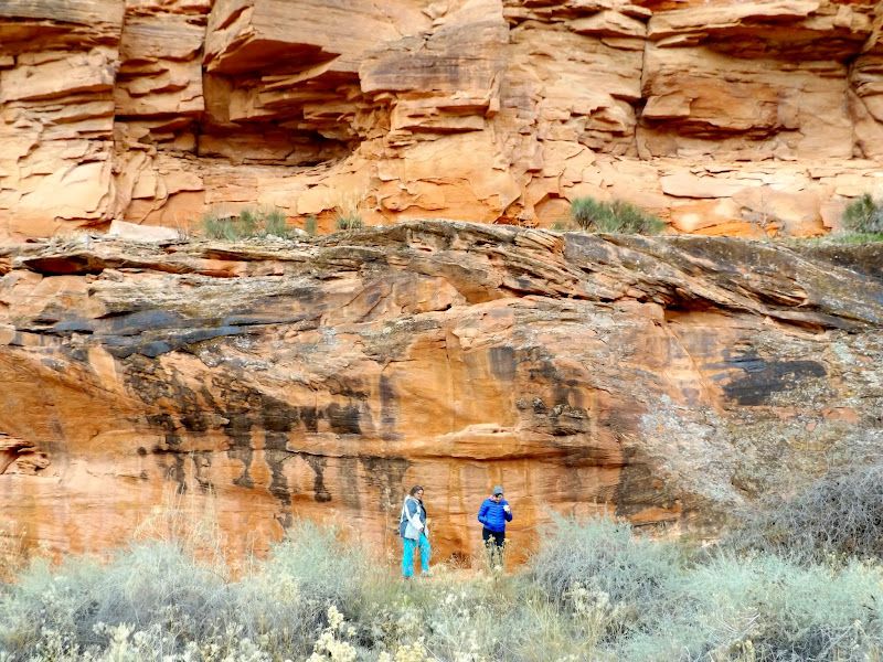
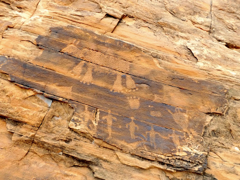
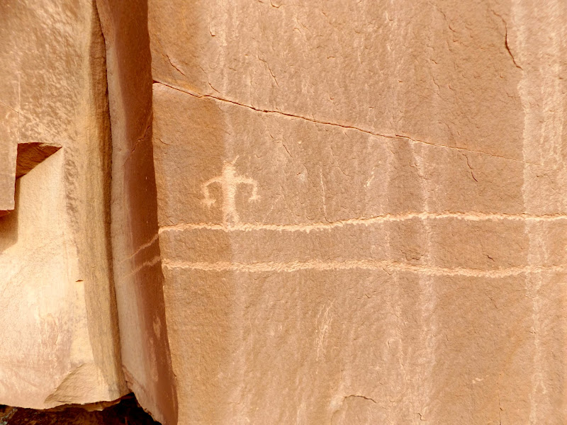
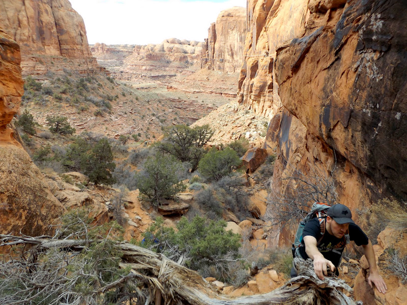
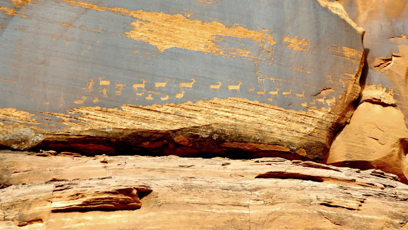
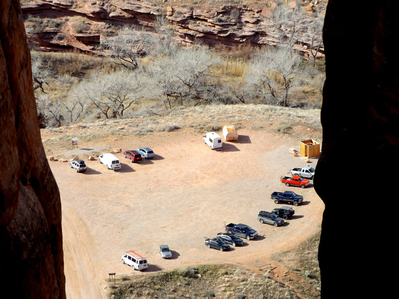
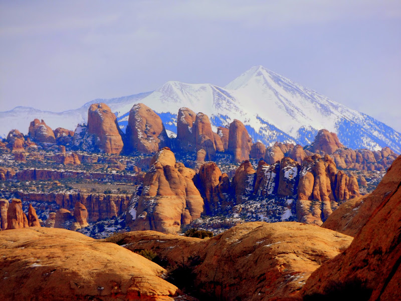
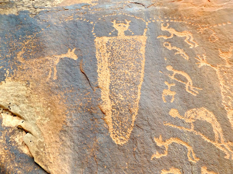
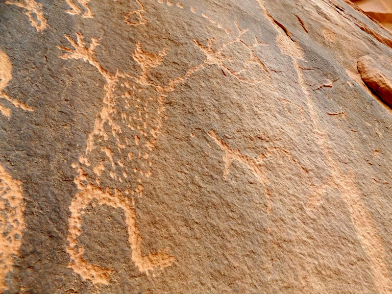
There's a side-canyon of Kane Creek that has a noticeable trail in Google Earth, so we followed it to see where it went. At the parking area I recognized @Kullaberg63's family and dogs and chatted briefly with his son, then we began our hike. Along the lower portion of the trail there was a lot of rock art. The trail ascended a notch in a cliff band that was a little difficult for Traci to climb, but once we made it up we saw one more petroglyph panel consisting of a long line of bighorn sheep. The trail continued up the canyon, crossed over a low spot in a sandstone fin to the next canyon over, then did a 180-degree turn and ascended further until we were standing in a notch overlooking the parking area. It wasn't until we turned around to head back that I noticed a wonderful view over the fins toward the La Sals.
Sheep line
Sheep and archer
Around the corner
Climbing through the notch
Long line of sheep
Alcove
Above the parking lot
Chris posing with the fins in the background
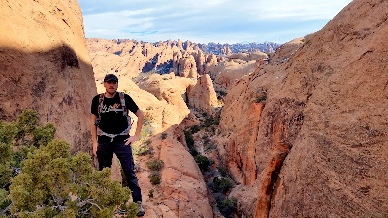
La Sal Mountains over the fins
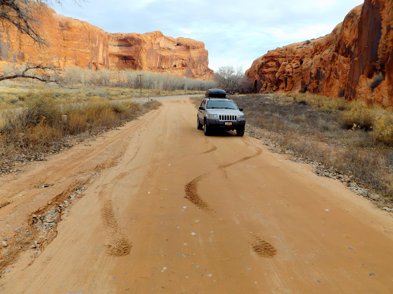
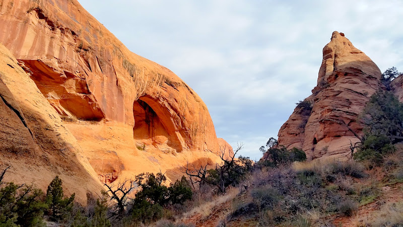
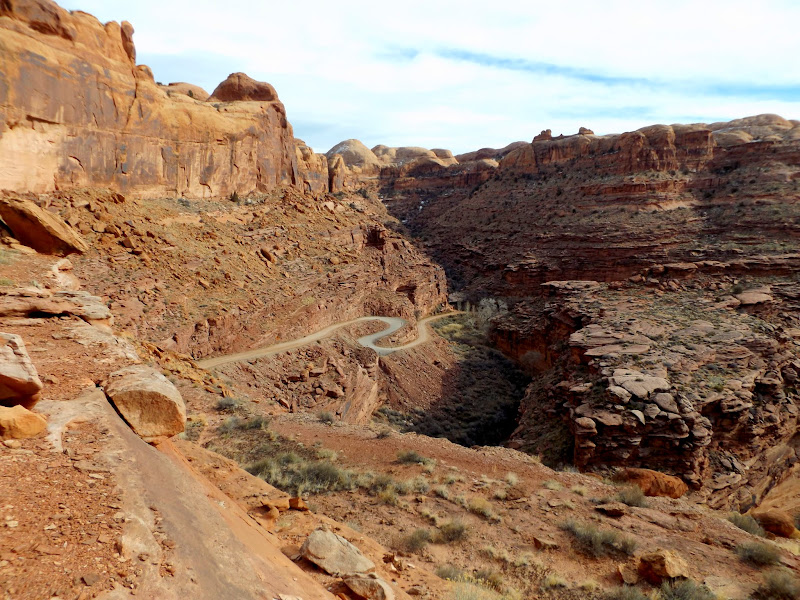
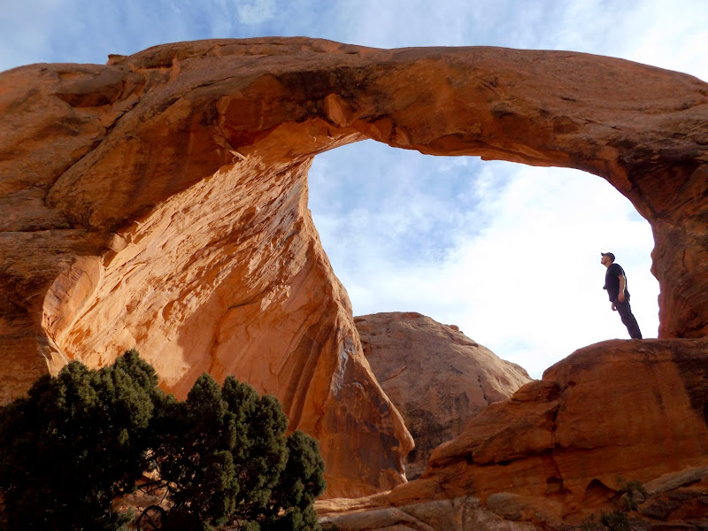
Farther up Kane Creek we stopped for lunch. Afterward Traci and Dollie stayed at the Jeep while Chris and I made the climb up to Funnel Arch (aka Cable Arch). There was one spot during the scramble up that sketched me out 'cause I thought it would be difficult coming back down, but it turned out to be pretty easy on the descent. Funnel Arch was nice! We spotted some petroglyphs on the hike to the arch, but I researched it after our hike and found out that we'd missed some other rock art. We spent more time driving up Kane Creek and to Hurrah Pass, but didn't have enough daylight to explore more so we retired to town and ate at Moab Diner.
Switchbacks on Kane Creek Road
Funnel Arch
Roadside petroglyphs
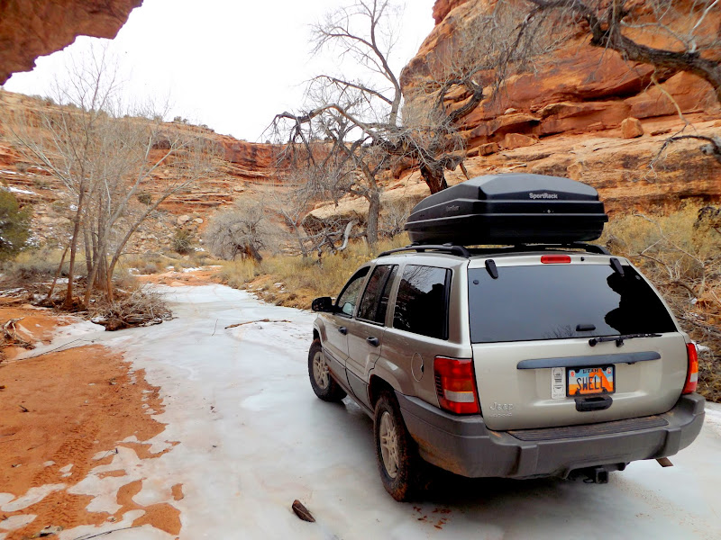
Jeep at Hurrah Pass
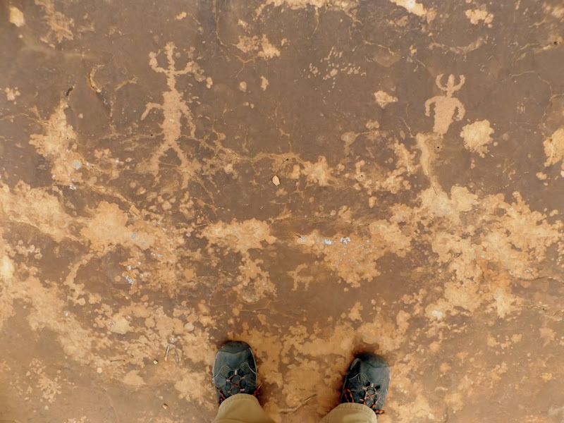
It had rained Saturday night and snow was in the forecast for Sunday afternoon. We decided to check out of our rooms and do some easy driving/exploring on the way home. Sevenmile Canyon fit the bill nicely since it was a short drive off US-191 and there was plenty of easily-accessible rock art. We hit TV sheep and Intestine Man, which I'd been to before. I had coordinates for two more sites (Snake-in-Mouth and an interesting set of petroglyphs), but as we drove farther up the canyon we spotted a few more rock art sites. We took the Jeep as far as one can legally drive up Sevenmile, then Chris and I hiked a bit farther but didn't see anything interesting beyond the cable barrier in the canyon. It started snowing just about as we were finishing up, so we high-tailed it for Green River and a quick stop at Ray's Tavern for a late lunch. Roads were dry going back to Price but I think Chris and Dollie ran quite a bit of snow on the way to SLC. Moab turned out to be a surprising (although much too short) respite from the cold and snow at home.
TV sheep
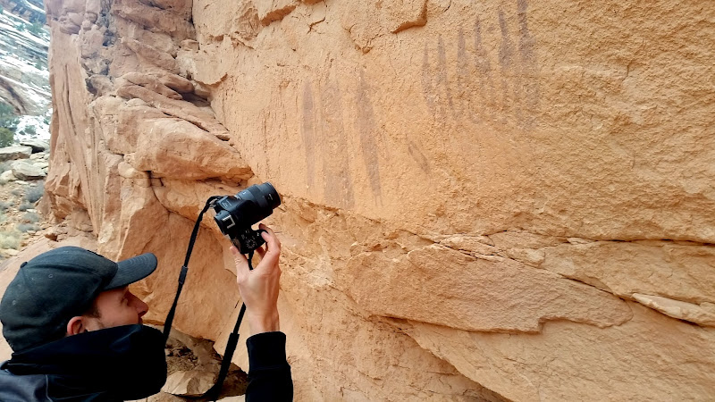
Photographing Intestine Man pictographs
Back up and give it another go!
Snake-in-Mouth pictographs
Snake-in-Mouth close-up
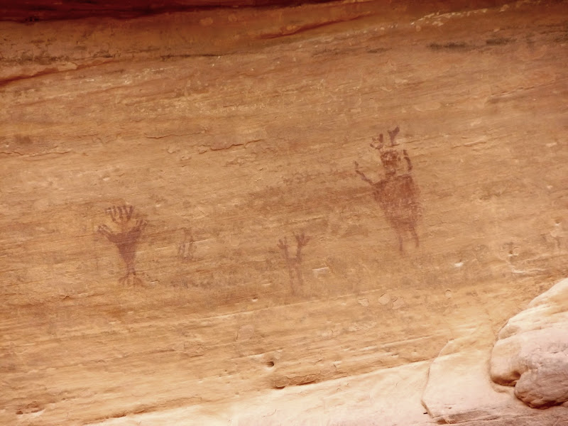
Sevenmile petroglyphs
Sevenmile petroglyphs
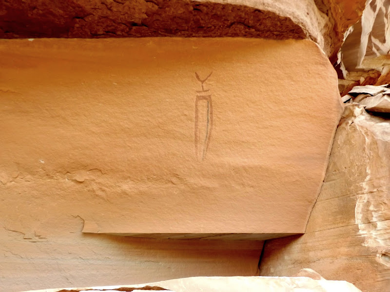
Sevenmile pictographs
Lone, multi-colored figure
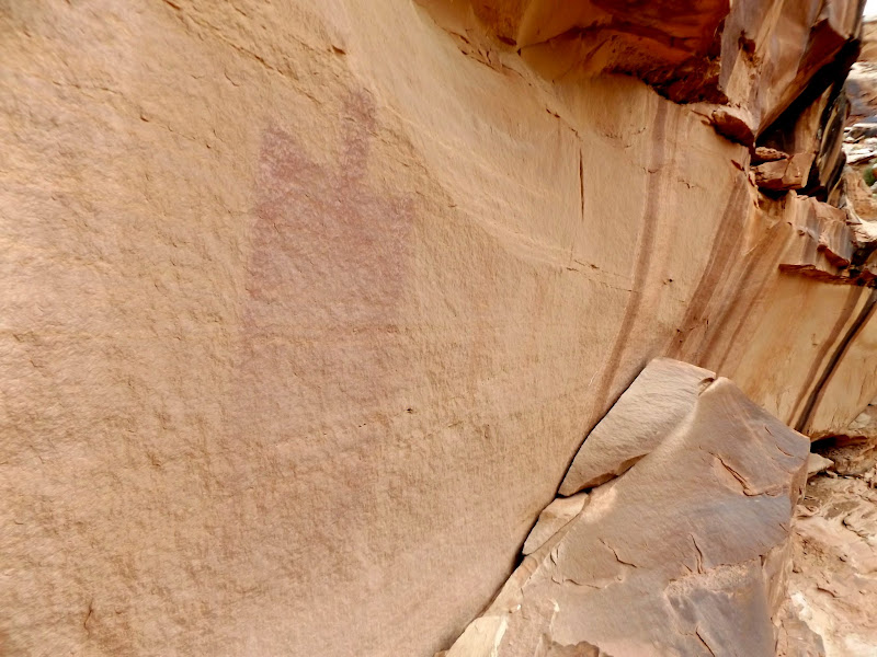
Large BCS pictograph
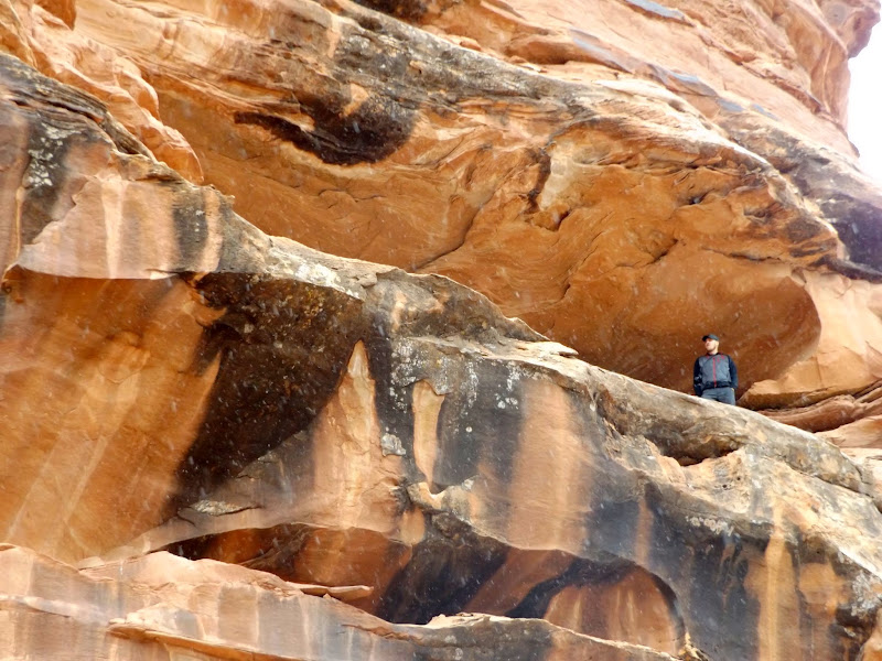
Chris checking out a high alcove
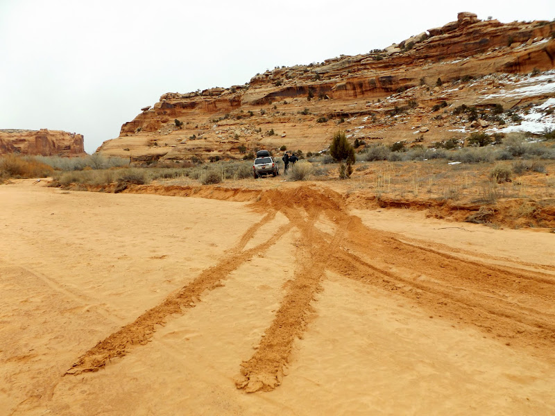
Jeep at the end of the route in Sevenmile Canyon
Lunch at Ray's Tavern
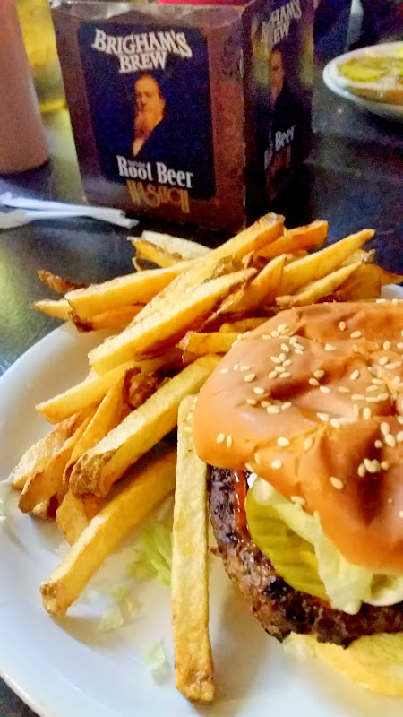
Photo Gallery: Kane Creek and Sevenmile Canyon
Petroglyph illuminated by headlamp
We decided to drive up Kane Creek (aka Kane Springs Canyon) on Saturday morning. I purposely didn't do much research on the area before this trip--I was hoping to simply wander and explore rather than follow a specific itinerary. A quick stop at Moonflower Canyon revealed some petroglyphs and inscriptions. Between there and Kane Creek we kept a sharp eye out and found several more petroglyph panels.
Moonflower petroglyphs
1923 bottle inscriptions
Traci and Dollie
Bighorn sheep and atlatl
"Hey, back up, I think I saw some rock art!"
Bear petroglyph
Ground-level petroglyphs
Moab Mastodon
Hos was here to kill!
M.F.B., J.M. Branson, 1899
Colorado River near Moonflower Canyon
There's a side-canyon of Kane Creek that has a noticeable trail in Google Earth, so we followed it to see where it went. At the parking area I recognized @Kullaberg63's family and dogs and chatted briefly with his son, then we began our hike. Along the lower portion of the trail there was a lot of rock art. The trail ascended a notch in a cliff band that was a little difficult for Traci to climb, but once we made it up we saw one more petroglyph panel consisting of a long line of bighorn sheep. The trail continued up the canyon, crossed over a low spot in a sandstone fin to the next canyon over, then did a 180-degree turn and ascended further until we were standing in a notch overlooking the parking area. It wasn't until we turned around to head back that I noticed a wonderful view over the fins toward the La Sals.
Sheep line
Sheep and archer
Around the corner
Climbing through the notch
Long line of sheep
Alcove
Above the parking lot
Chris posing with the fins in the background
La Sal Mountains over the fins
Farther up Kane Creek we stopped for lunch. Afterward Traci and Dollie stayed at the Jeep while Chris and I made the climb up to Funnel Arch (aka Cable Arch). There was one spot during the scramble up that sketched me out 'cause I thought it would be difficult coming back down, but it turned out to be pretty easy on the descent. Funnel Arch was nice! We spotted some petroglyphs on the hike to the arch, but I researched it after our hike and found out that we'd missed some other rock art. We spent more time driving up Kane Creek and to Hurrah Pass, but didn't have enough daylight to explore more so we retired to town and ate at Moab Diner.
Switchbacks on Kane Creek Road
Funnel Arch
Roadside petroglyphs
Jeep at Hurrah Pass
It had rained Saturday night and snow was in the forecast for Sunday afternoon. We decided to check out of our rooms and do some easy driving/exploring on the way home. Sevenmile Canyon fit the bill nicely since it was a short drive off US-191 and there was plenty of easily-accessible rock art. We hit TV sheep and Intestine Man, which I'd been to before. I had coordinates for two more sites (Snake-in-Mouth and an interesting set of petroglyphs), but as we drove farther up the canyon we spotted a few more rock art sites. We took the Jeep as far as one can legally drive up Sevenmile, then Chris and I hiked a bit farther but didn't see anything interesting beyond the cable barrier in the canyon. It started snowing just about as we were finishing up, so we high-tailed it for Green River and a quick stop at Ray's Tavern for a late lunch. Roads were dry going back to Price but I think Chris and Dollie ran quite a bit of snow on the way to SLC. Moab turned out to be a surprising (although much too short) respite from the cold and snow at home.
TV sheep
Photographing Intestine Man pictographs
Back up and give it another go!
Snake-in-Mouth pictographs
Snake-in-Mouth close-up
Sevenmile petroglyphs
Sevenmile petroglyphs
Sevenmile pictographs
Lone, multi-colored figure
Large BCS pictograph
Chris checking out a high alcove
Jeep at the end of the route in Sevenmile Canyon
Lunch at Ray's Tavern
Photo Gallery: Kane Creek and Sevenmile Canyon