Udink
Still right here.
- Joined
- Jan 17, 2012
- Messages
- 1,742
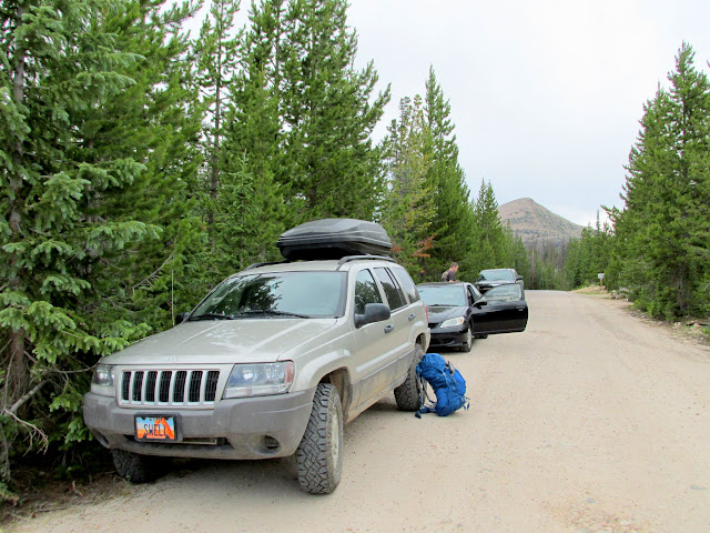
In the middle of last week I got a text from Chris wanting to head into the Uintas for a short-ish trip. We made a rough plan to meet at the Crystal Lake trailhead on Friday evening and hike somewhere to the west. I got off work an hour early so I could make the three-hour drive and I made it to the trailhead a little early. There wasn't a single available parking spot, so I waited for Chris to arrive and then we drove to the overflow parking about 3/4-mile away. Ugh. After the fun road-walk, we hit the trail and surprisingly didn't see the throngs of people we were expecting. We took the turn toward Weir Lake and found a geocache there, then pushed on to Duck Lake.
Crystal Lake TH overflow parking
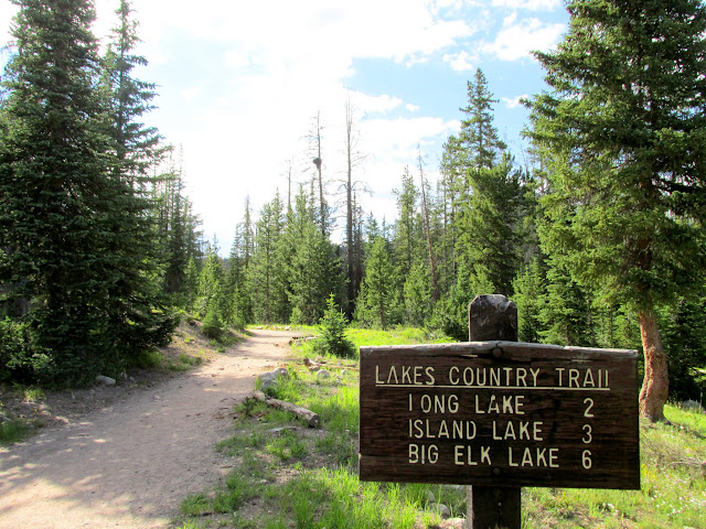
Crystal Lake trailhead
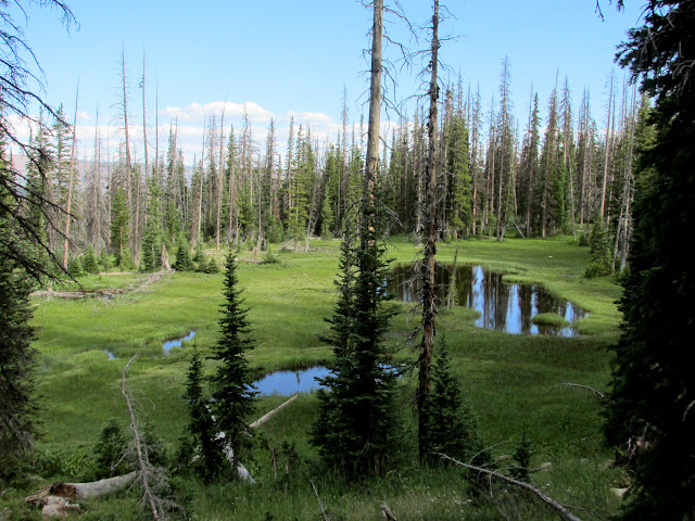
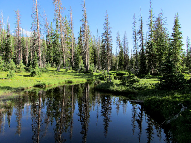
Ponds west of Crystal Lake
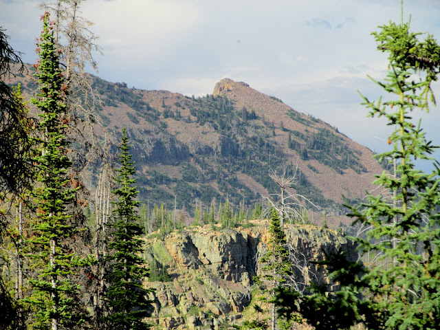
Notch Mountain
Pond above Lillian Lake
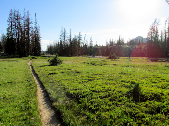
Trail to Weir Lake
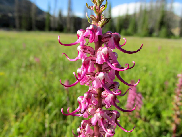
Elephant heads
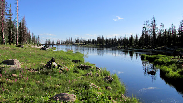
Weir Lake
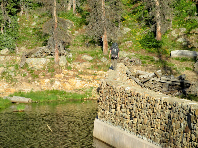
Chris on the Weir Lake dam
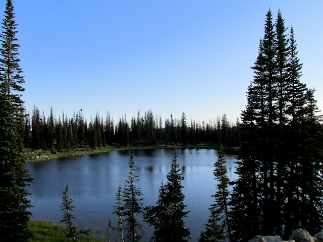
Pot Lake
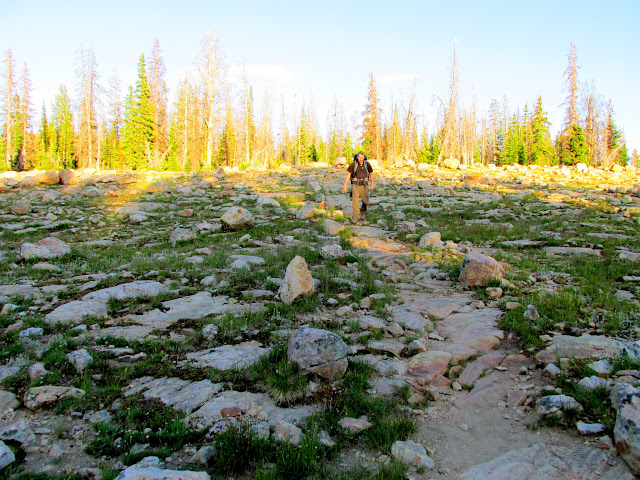
Trail to Duck Lake
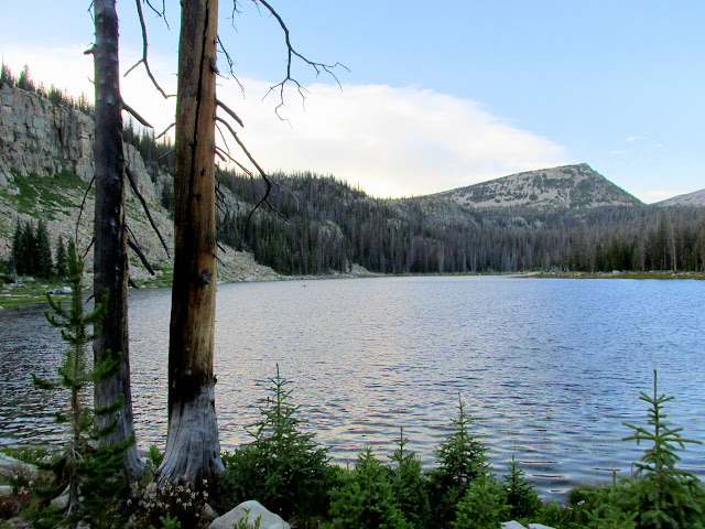
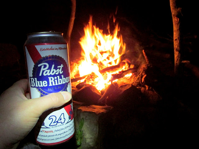
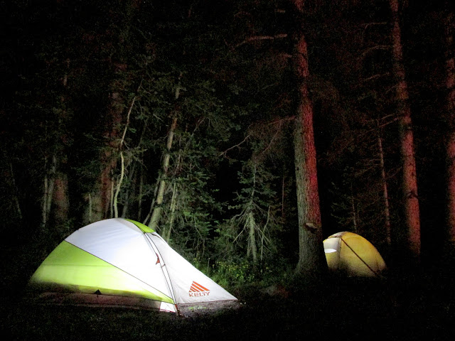
We found Duck Lake to be deserted. There was a nice campsite in the trees near the dam where we dropped our packs and hiked around the lake to find a geocache. We returned to the campsite and set up tents, fixed dinner, and drank some PBR tallboys that Chris had packed in.
Chair rock at Duck Lake
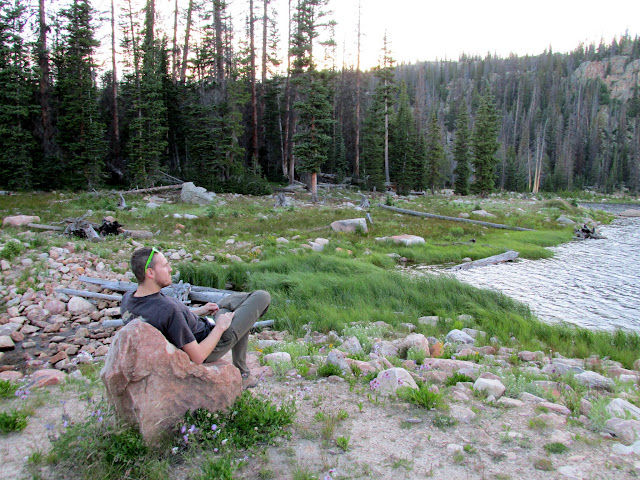
Duck Lake
Chris packed in a couple of PBR tallboys
Illuminated tents
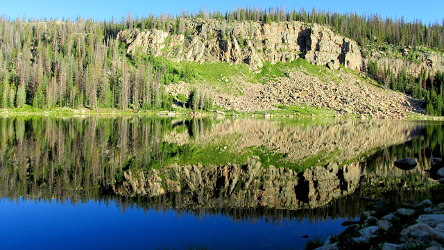
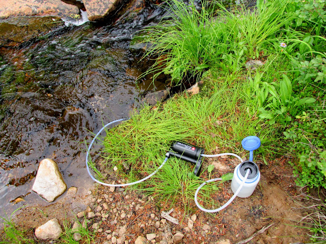
Duck Lake was beautifully glassy in the early morning. I rose before Chris and walked around enjoying the sunrise for a bit. We ate breakfast and I filtered some water before heading out toward Island Lake. Just after the junction of the Island Lake trail we encountered the hordes of people that we'd been expecting the previous evening--most of them heading back toward the trailhead after having camped at Island Lake. The lake and surrounding area were beautiful. I can see why so many people camped there, but the large crowds would be enough to keep me from ever spending the night.
Duck Lake
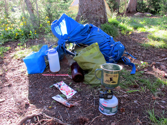
Breakfast
Filtering water
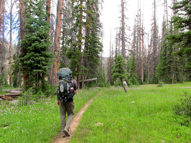
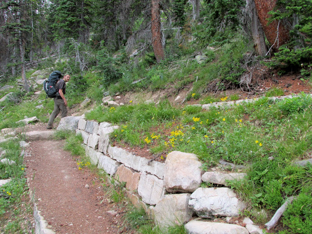
On the trail to Island Lake
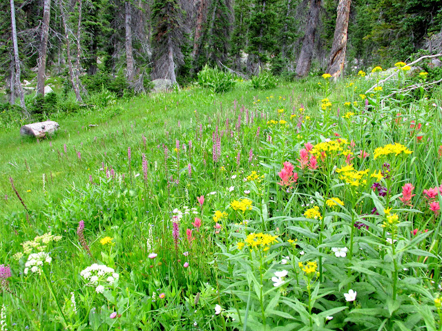
Wildflowers along the trail
Switchback on the trail
Island Lake
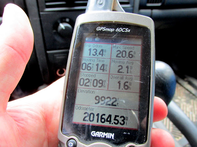
Chris and I walked around the lake and found a couple of geocaches. We headed back down the trail and took the fork to Long Lake, and along the way passed quite a few more people heading up toward Island, mostly day-hikers. At the saddle just north of Haystack Mountain we stopped for lunch and debated whether to drop our packs and summit Haystack. After consulting the time and my sore leg muscles, I decided it'd be best to just call it a trip. Back at our vehicles my GPS read about 13.3 miles of hiking, three of which were along the road due to the crowded TH parking lot.
Island Lake

Island Lake

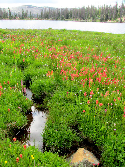
Paintbrush at Island Lake
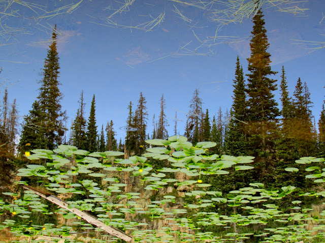
Inverted pond reflection
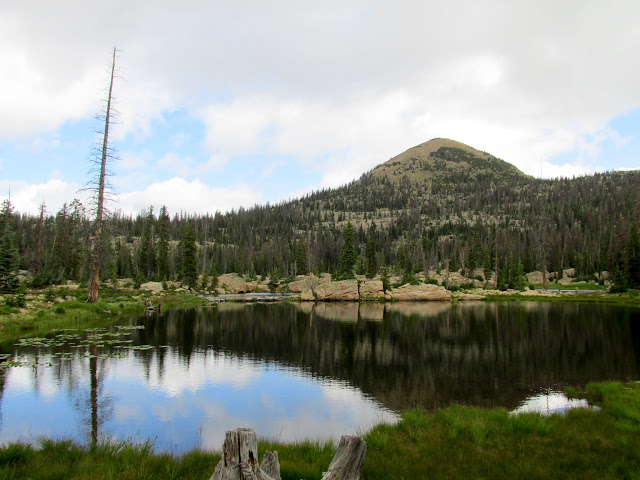
Unnamed peak above Island Lake
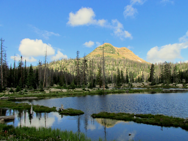
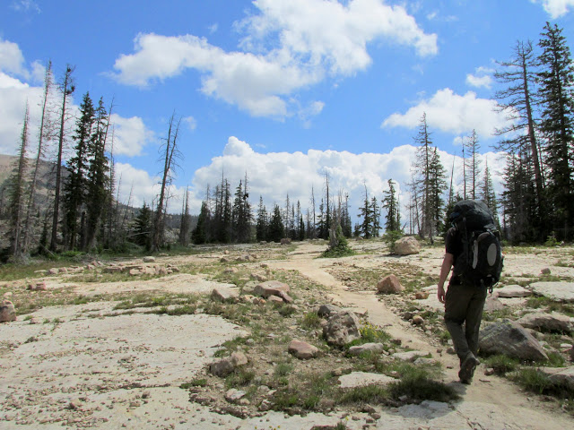
Trail to Long Lake
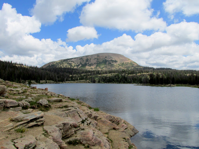
Long Lake
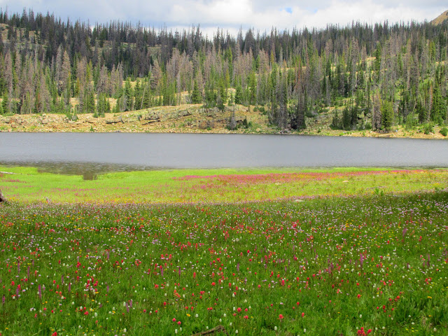
Wildflowers at Long Lake
GPS stats after the hike
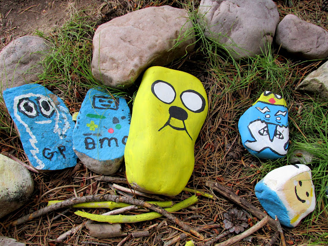
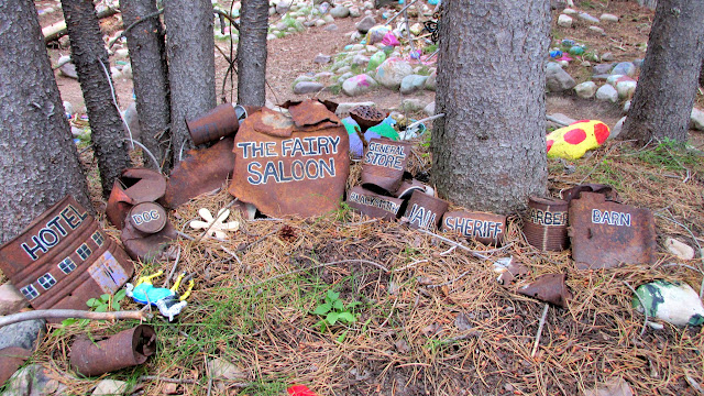
It was still early enough that we had time for some short stops during the drive out. We drove to Shoestring Lake and found a geocache there, then headed down the Mirror Lake Highway and stopped for a walk through the Fairy Forest. There, people have painted rocks and left all sorts of other whimsical stuff. It covers a pretty large area and would make for a lot of work if the Forest Service ever decided to put a stop to it. There were a few clever or interesting things there, but overall it's mostly just a bunch of colorful rocks.
Shoestring Lake
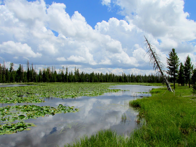
Fairy Forest
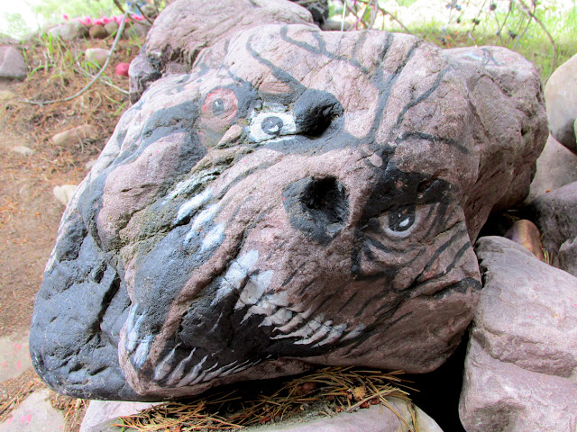
Fairy Forest
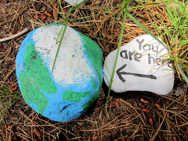
Fairy Forest
Fairy Forest--my favorite display there
Fairy Forest
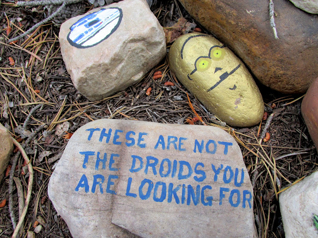
Photo Gallery: Island Lake Loop
GPS Track and Photo Waypoints:
[ Google Earth KMZ ] [ Gmap4 Satellite ] [ Gmap4 Topo ]
Featured image for home page:
Crystal Lake TH overflow parking
Crystal Lake trailhead
Ponds west of Crystal Lake
Notch Mountain
Pond above Lillian Lake
Trail to Weir Lake
Elephant heads
Weir Lake
Chris on the Weir Lake dam
Pot Lake
Trail to Duck Lake
We found Duck Lake to be deserted. There was a nice campsite in the trees near the dam where we dropped our packs and hiked around the lake to find a geocache. We returned to the campsite and set up tents, fixed dinner, and drank some PBR tallboys that Chris had packed in.
Chair rock at Duck Lake
Duck Lake
Chris packed in a couple of PBR tallboys
Illuminated tents
Duck Lake was beautifully glassy in the early morning. I rose before Chris and walked around enjoying the sunrise for a bit. We ate breakfast and I filtered some water before heading out toward Island Lake. Just after the junction of the Island Lake trail we encountered the hordes of people that we'd been expecting the previous evening--most of them heading back toward the trailhead after having camped at Island Lake. The lake and surrounding area were beautiful. I can see why so many people camped there, but the large crowds would be enough to keep me from ever spending the night.
Duck Lake
Breakfast
Filtering water
On the trail to Island Lake
Wildflowers along the trail
Switchback on the trail
Island Lake
Chris and I walked around the lake and found a couple of geocaches. We headed back down the trail and took the fork to Long Lake, and along the way passed quite a few more people heading up toward Island, mostly day-hikers. At the saddle just north of Haystack Mountain we stopped for lunch and debated whether to drop our packs and summit Haystack. After consulting the time and my sore leg muscles, I decided it'd be best to just call it a trip. Back at our vehicles my GPS read about 13.3 miles of hiking, three of which were along the road due to the crowded TH parking lot.
Island Lake
Island Lake

Paintbrush at Island Lake
Inverted pond reflection
Unnamed peak above Island Lake
Trail to Long Lake
Long Lake
Wildflowers at Long Lake
GPS stats after the hike
It was still early enough that we had time for some short stops during the drive out. We drove to Shoestring Lake and found a geocache there, then headed down the Mirror Lake Highway and stopped for a walk through the Fairy Forest. There, people have painted rocks and left all sorts of other whimsical stuff. It covers a pretty large area and would make for a lot of work if the Forest Service ever decided to put a stop to it. There were a few clever or interesting things there, but overall it's mostly just a bunch of colorful rocks.
Shoestring Lake
Fairy Forest
Fairy Forest
Fairy Forest
Fairy Forest--my favorite display there
Fairy Forest
Photo Gallery: Island Lake Loop
GPS Track and Photo Waypoints:
[ Google Earth KMZ ] [ Gmap4 Satellite ] [ Gmap4 Topo ]
Featured image for home page:

