Kullaberg63
Member
- Joined
- Mar 6, 2014
- Messages
- 683
The river canyon is a frigid inhospitable defile this time of the year. Cold still air, heavy and shadowy and unwanted elsewhere, silently settle in, wrapping the occasional stir in a promise of death. Glaring rays of low winter sun, finding their way down through a rare dip in the canyon walls, feel feeble in their brief sparkle. Sluggish tan water moves slowly, thickly. Testing the surface one is painfully reminded how dangerous 40 degree water is.
Paddling the river in a single chamber packraft, we stay close together, cautiously viewing the other boat as a life raft should unseen spiky things catch the thin rubberized material. A low, flat paddle stroke keeps the icy drips from bare fingers and important layers. To keep our naked, damp feet from going completely numb they rest muddily on a small square of Ensolite pad.
The transitions are the magic moments in our packrafting adventures, the distilled essence of this activity. From float to foot and back again, with simple means. An unseen burden in the pack transform effortlessly into little boats, capable looking and surprisingly roomy, ready to set off around the next bend. An equal lack of flaunt quickly hides them and again we're explorers of ridges and mesas.
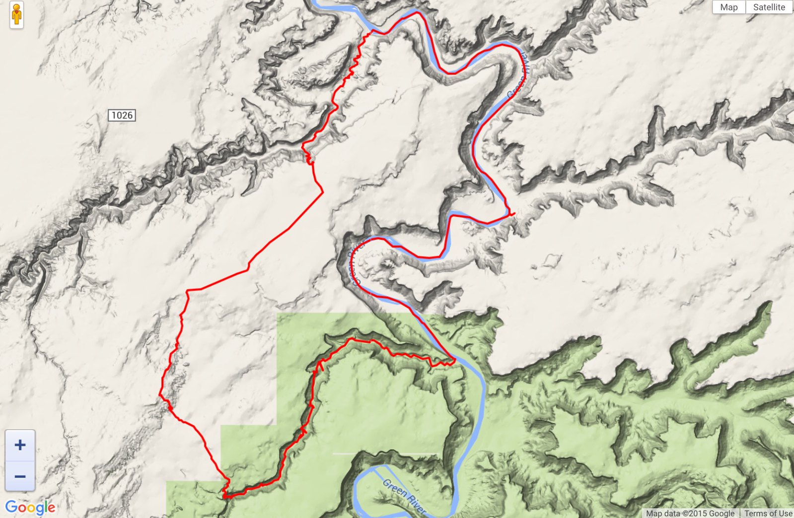
On this trip of 2 days we started and ended with 6-8 miles of paddling to create a loop taking in two great canyons of the northern Orange Cliffs area. To make it possible we had to find a cpouple of historic cattle routes, the Horsethief Trail out of its namesake canyon and the Angel Trail leading into lower Horseshoe. Connecting them is the wide expanse of the Spur.
Notes: The north facing, shadowy Angel Trail has a couple of spots where even a light veneer of snow would make progress quite risky.
Never been in lower Horseshoe before, but the amount of quicksand present this November was downright scary. One is walking directly in the stream bed for the last mile and a half before the river.
On the river, once the sun drops for good in the late afternoon, be prepared for very frigid pack rafting conditions.
We have done three historic cattle trails in this region: these two, plus the Devil's Slide trail out of lower Millard. The Angel trail is the one in best repair with up to date cairning. Devil's Slide is almost gone, as is most of the lower two thirds of the Horsethief. But at least it is straight forward to locate the general area of the latter.
All images with my old GoPro.
 GOPR2053 by jan nikolajsen, on Flickr
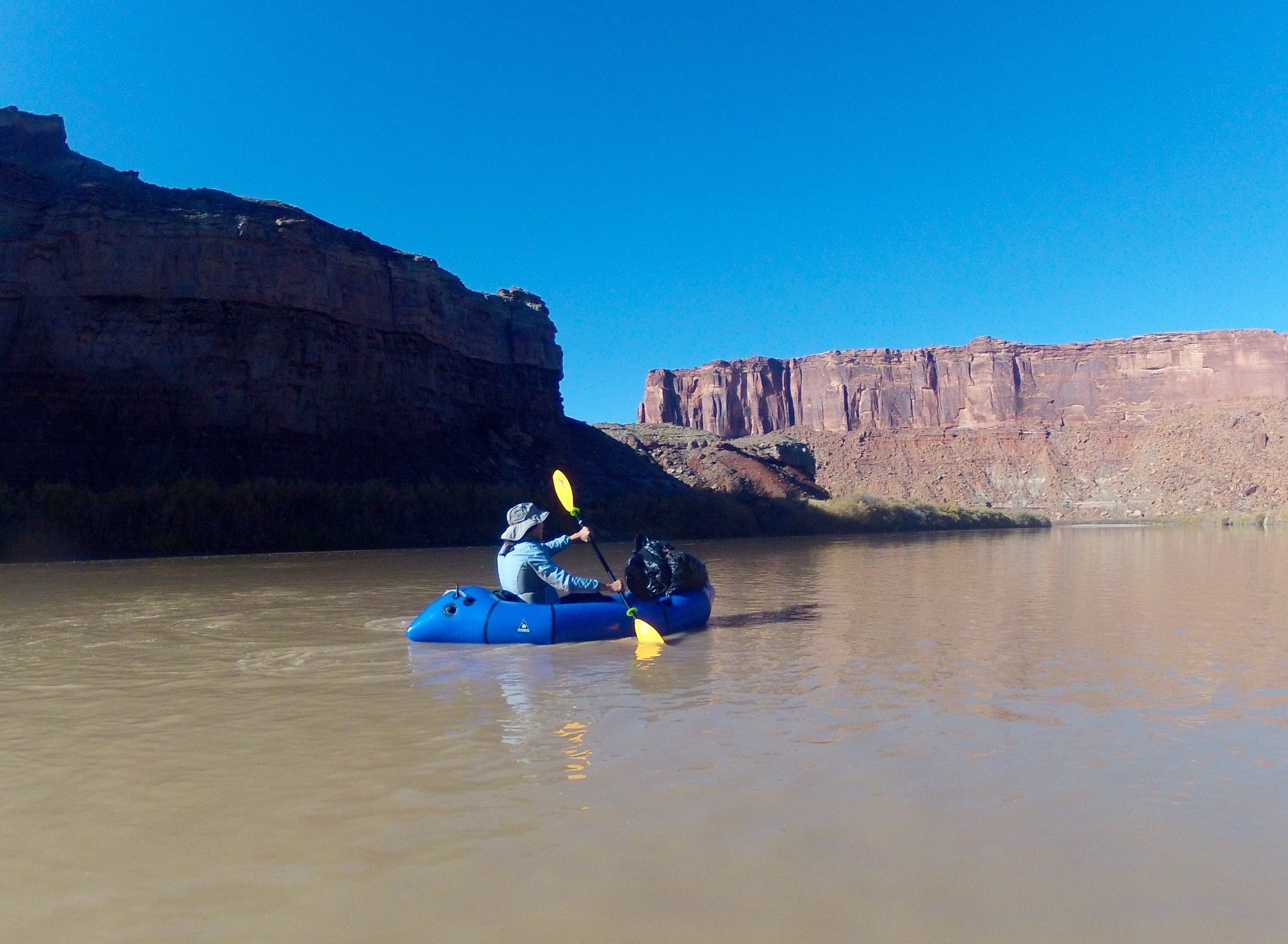
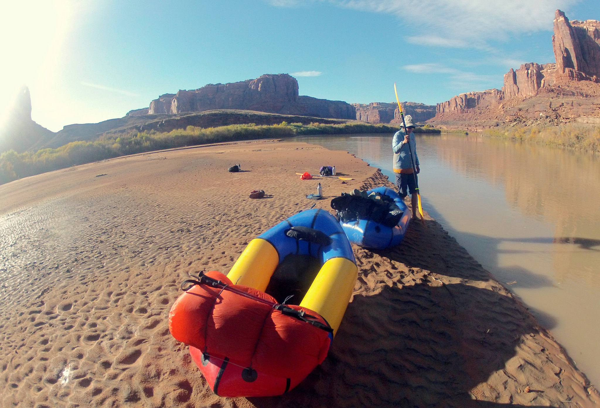
Staying out of the shadows, after an early morning launch a Mineral Bottom.
 GOPR2050 by jan nikolajsen, on Flickr
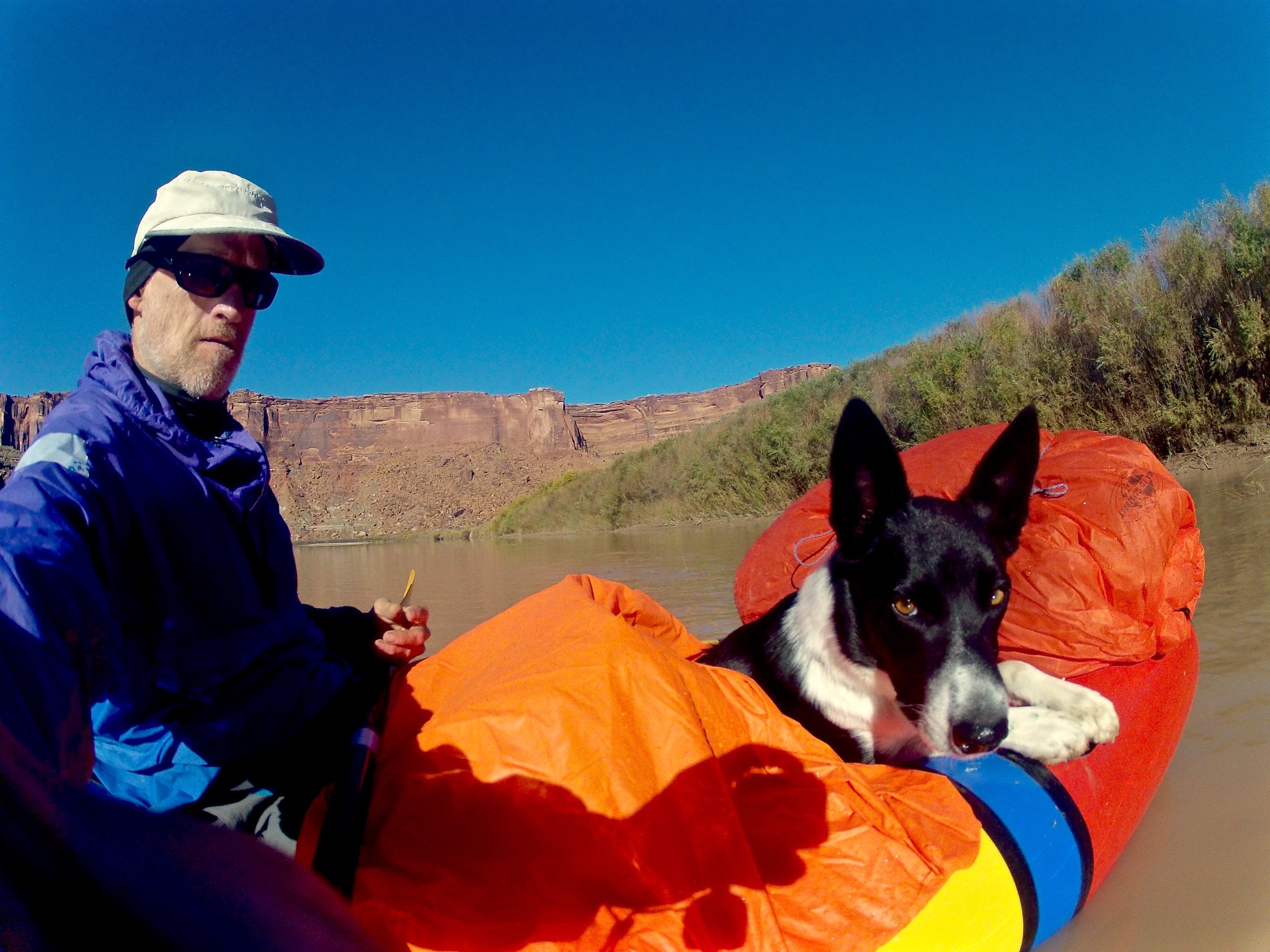
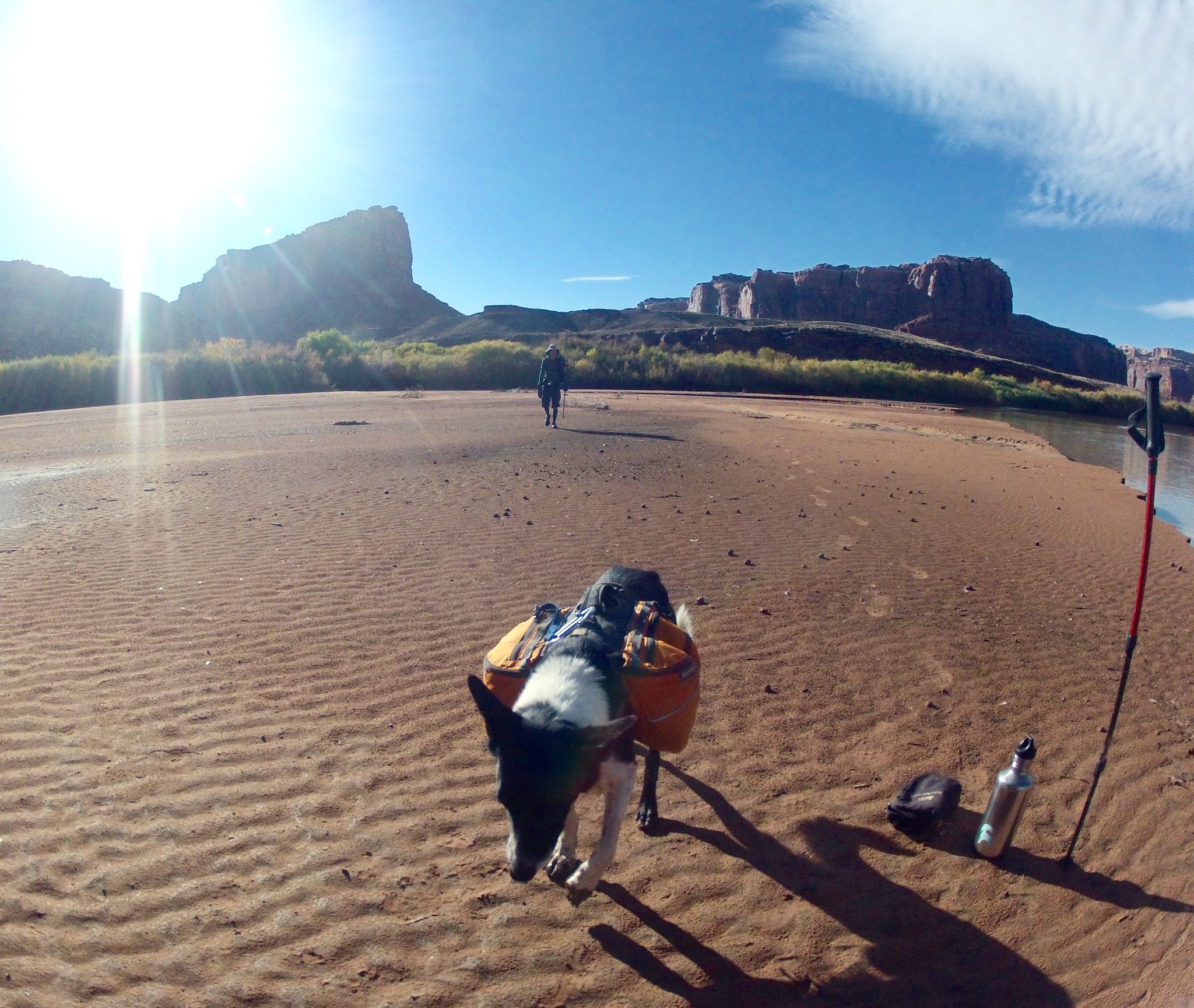
doggie!
 GOPR2056_Fotor by jan nikolajsen, on Flickr
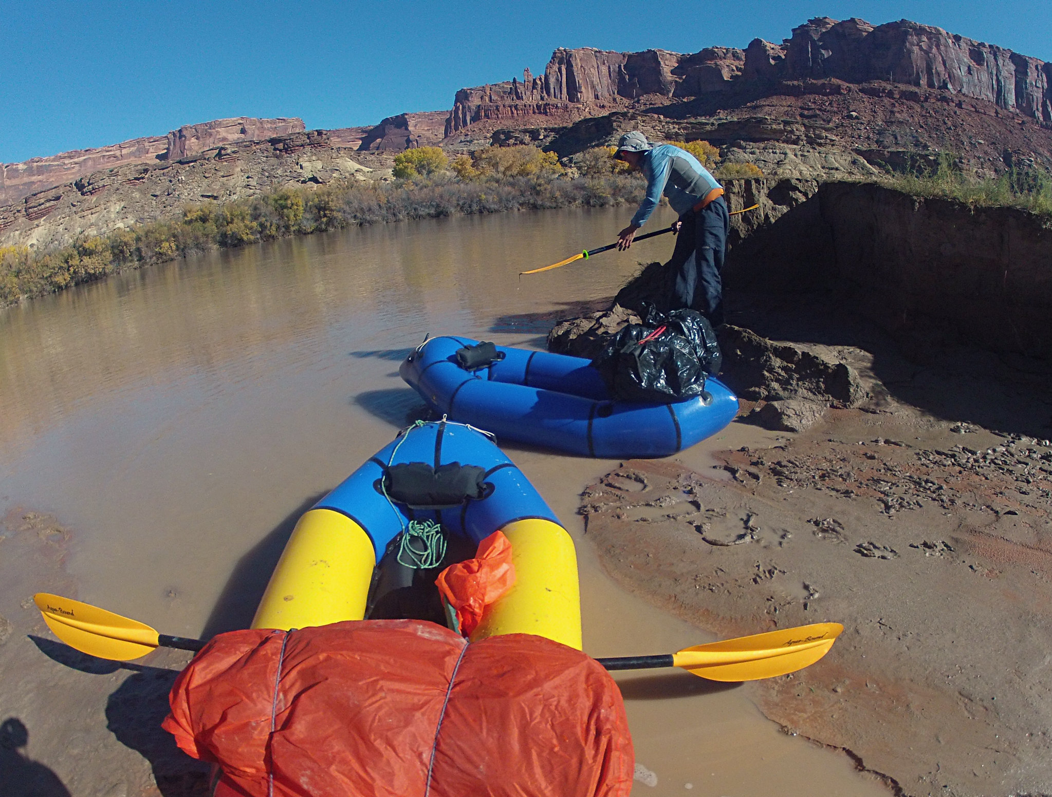
Readying for the hike up Horsethief.
[url=https://flic.kr/p/BeiLXt]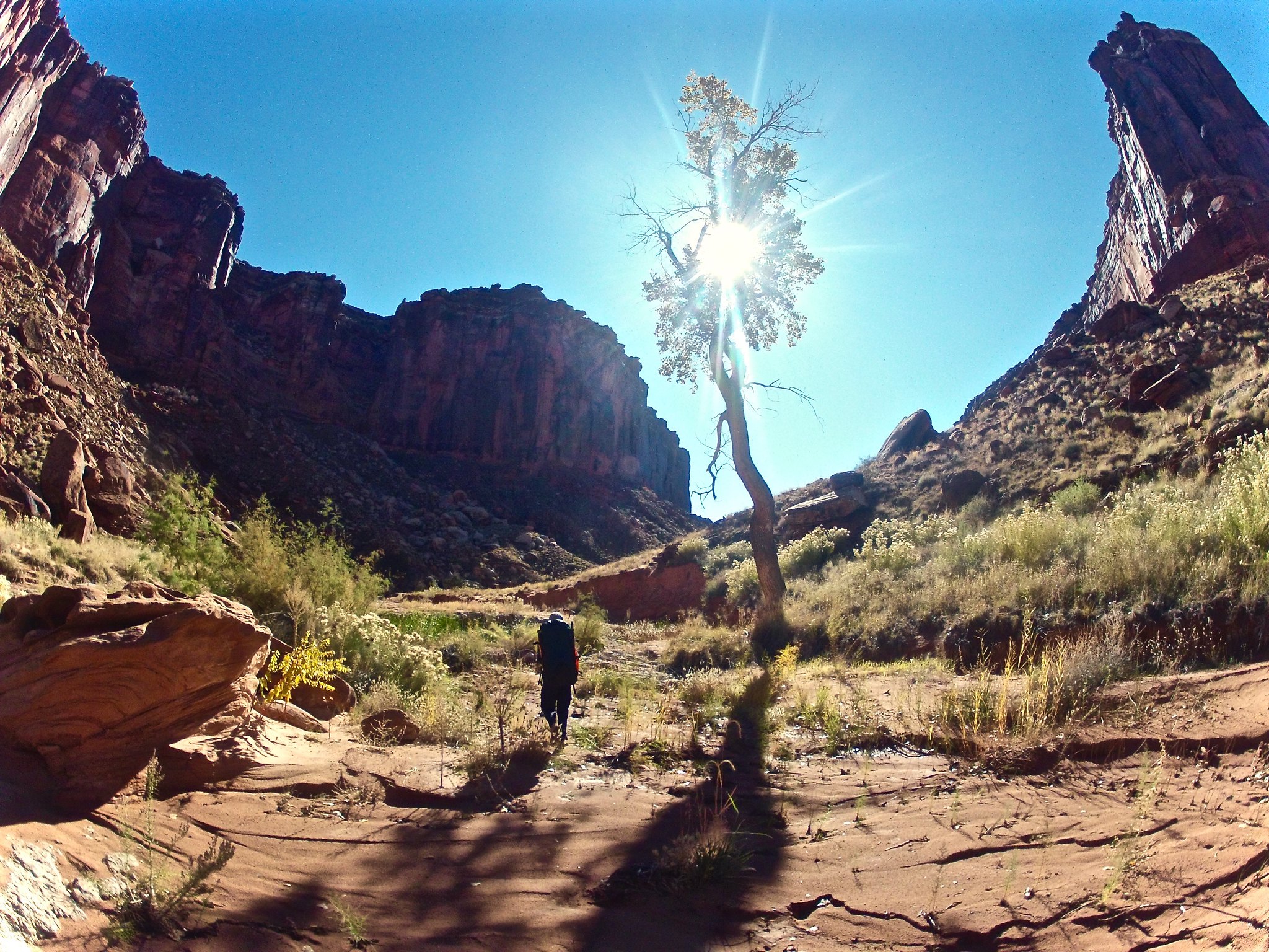 GOPR2066 by jan nikolajsen, on Flickrshare[/URL] by jan nikolajsen, on Flickr
Horsethief. Mostly a scenic, easy stroll with intermittent water.
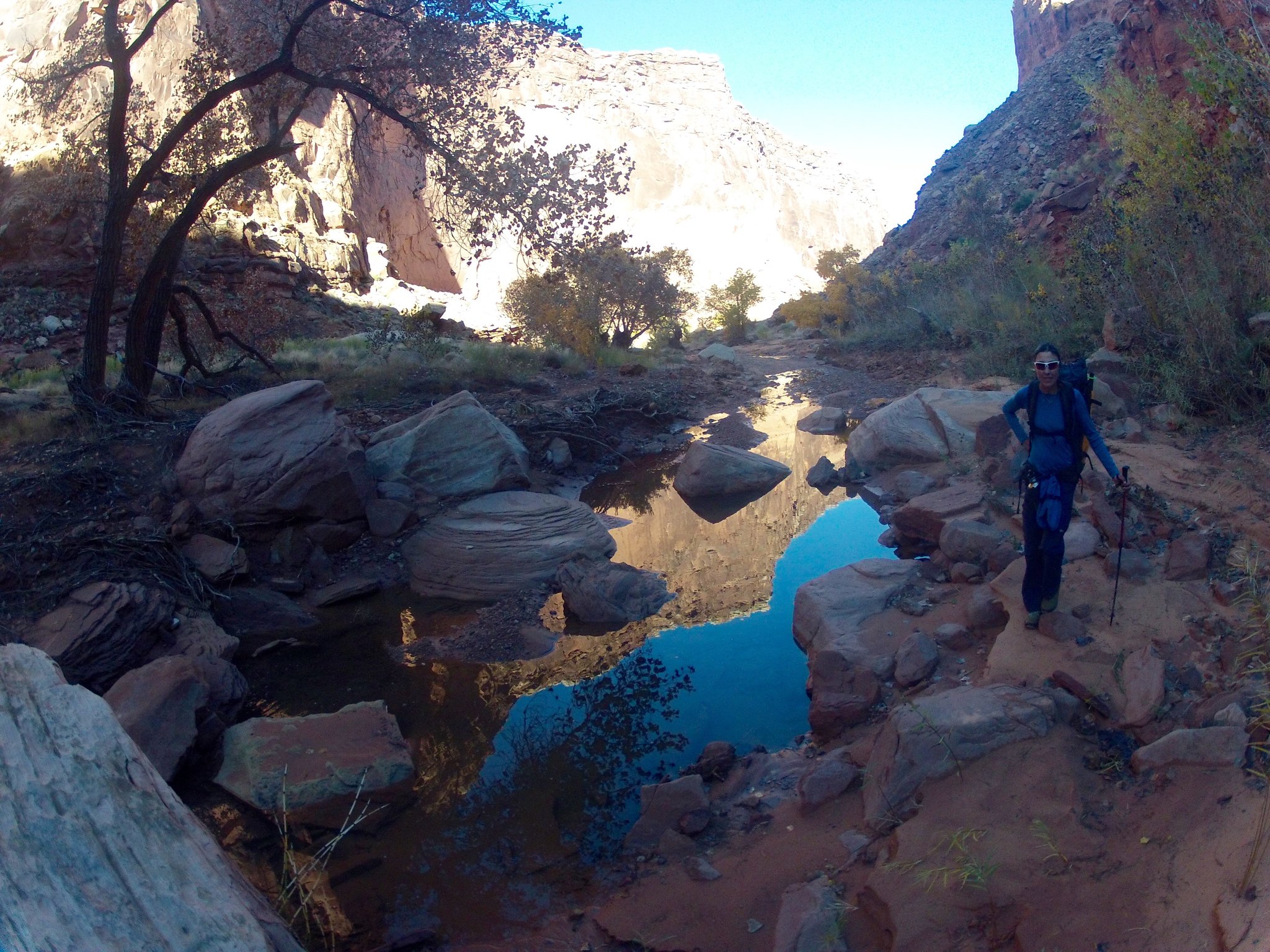 GOPR2073 by jan nikolajsen, on Flickr
The upper part becomes entrenched and dark. More water too.
 GOPR2082 by jan nikolajsen, on Flickr
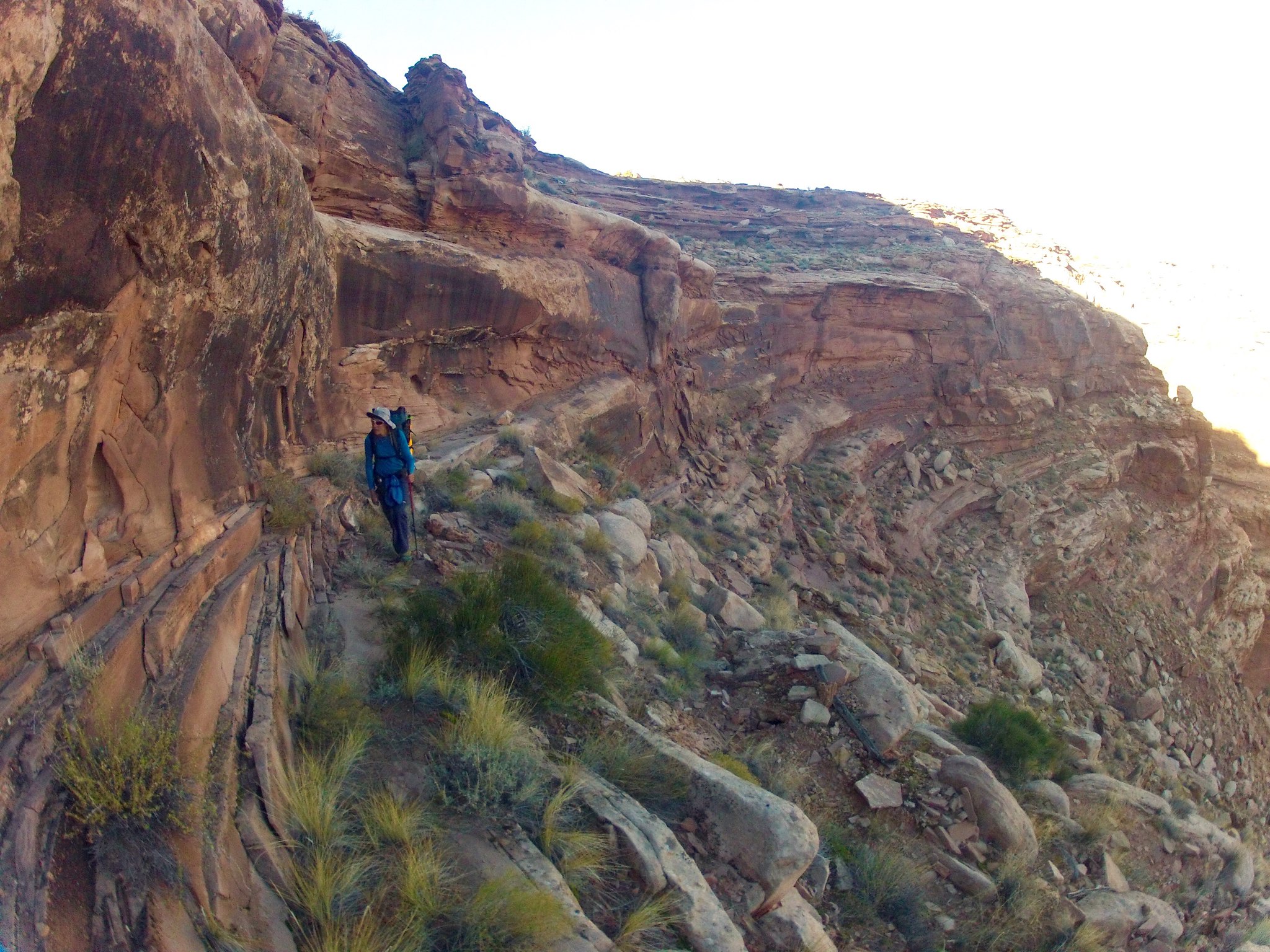
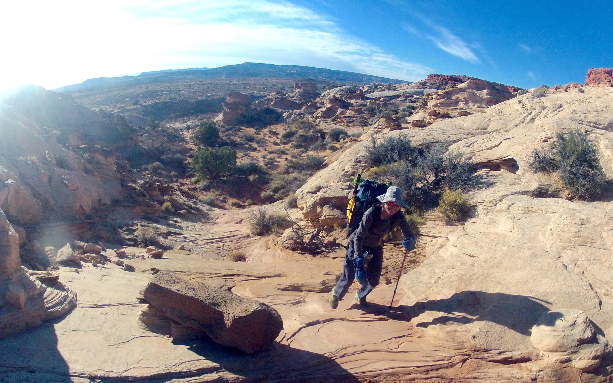
Near the top of Horsethief trail.
 GOPR2099 by jan nikolajsen, on Flickr
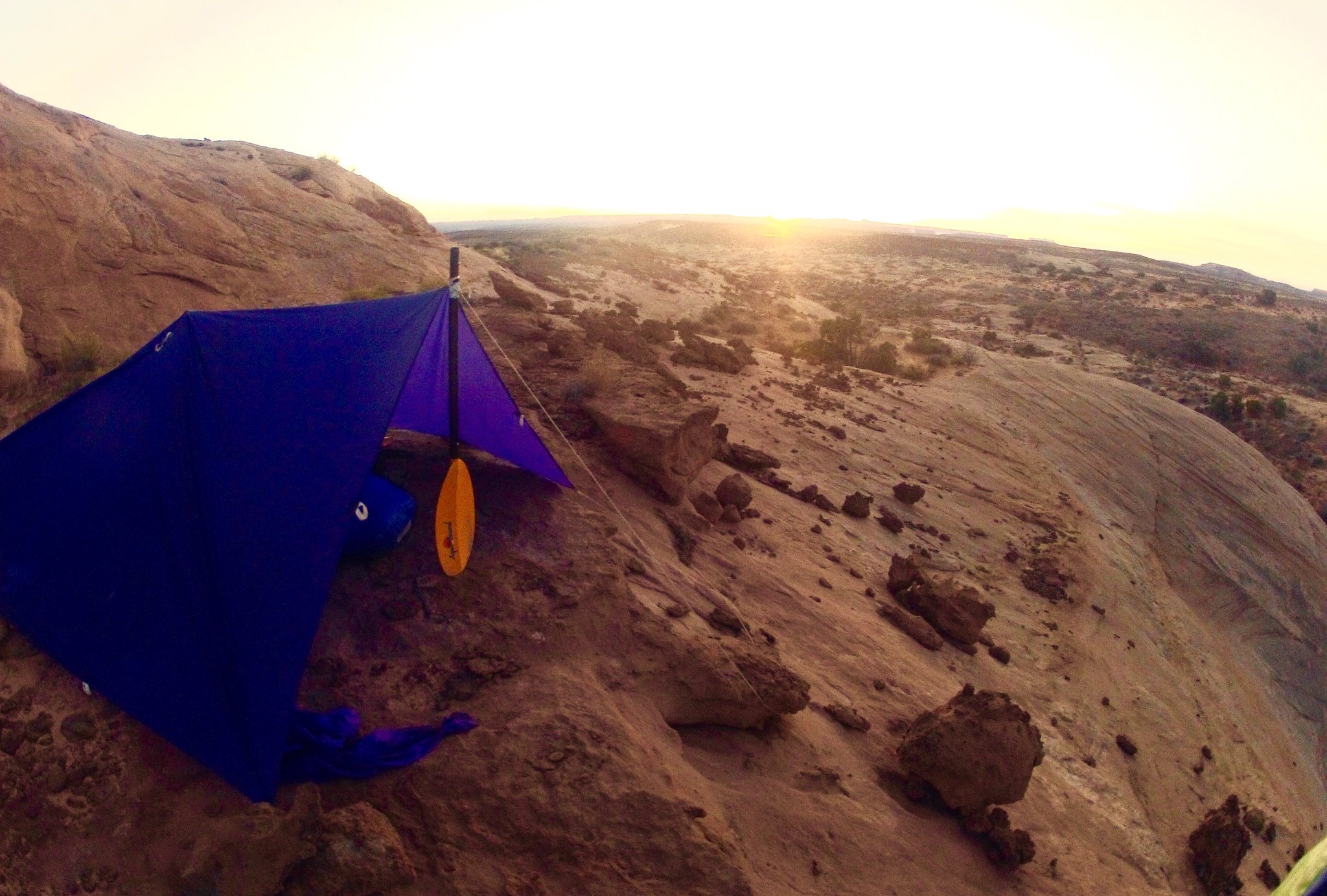
Morning at camp on the High Spur.
 GOPR2104 by jan nikolajsen, on Flickr
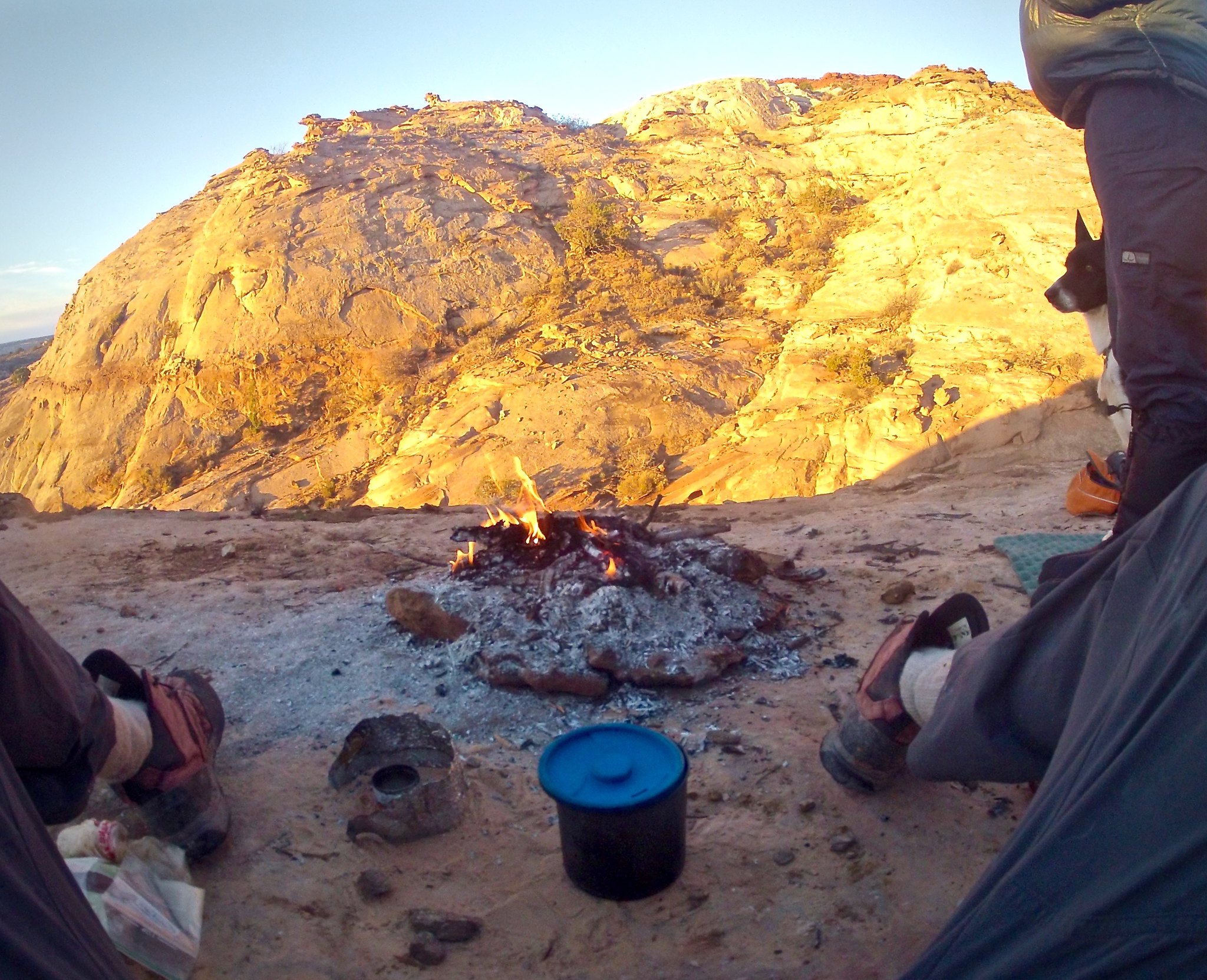
Campfires, and the legality there off with land managers, dictate our route choices in the colder seasons.
 GOPR2115 by jan nikolajsen, on Flickr
Hiking on the Spur.
 GOPR2122 by jan nikolajsen, on Flickr
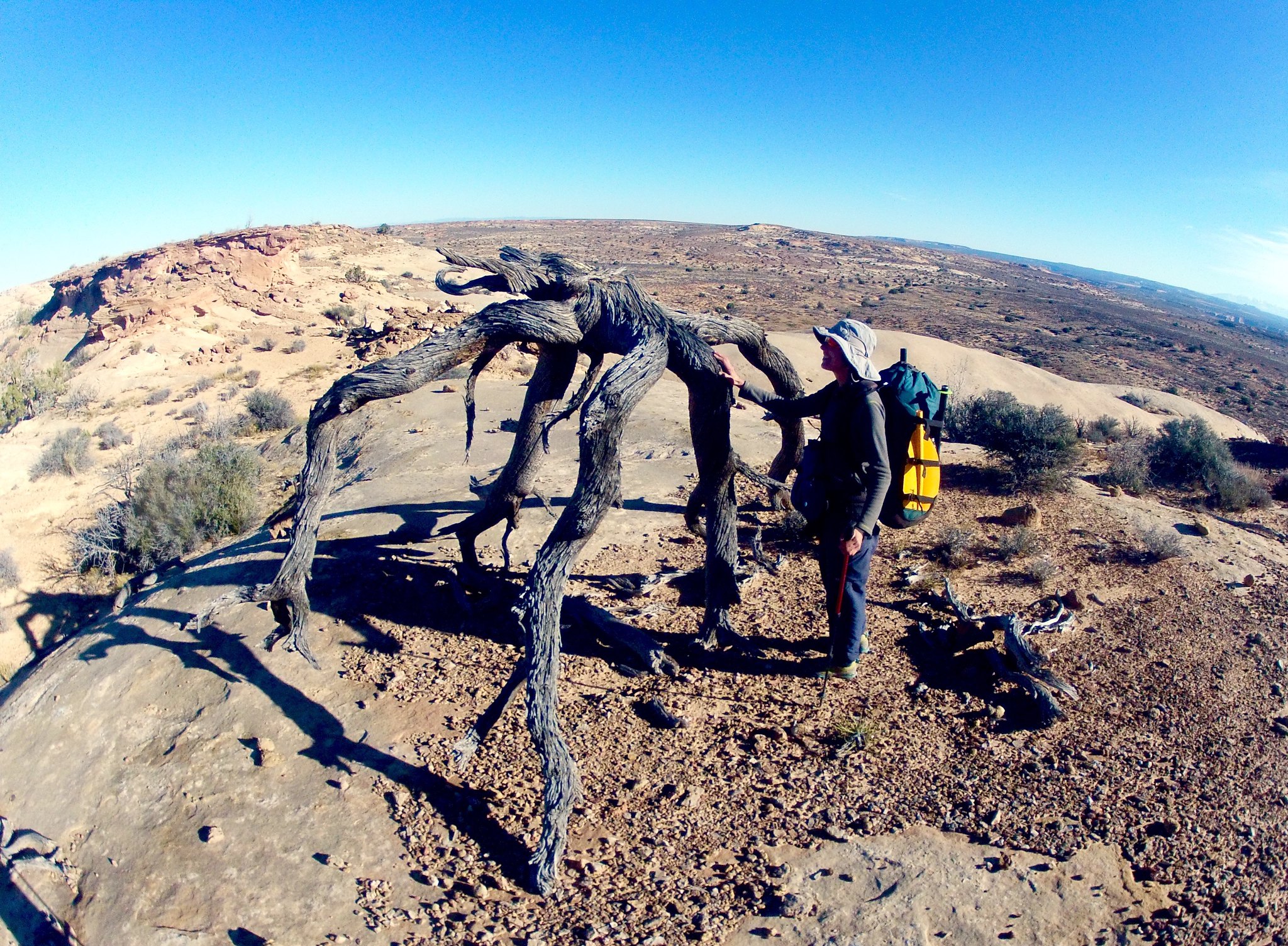
An upturned juniper. No roads, cowboy camps around. Wind?
 GOPR2148 by jan nikolajsen, on Flickr
Given Kelsey’s in-depth descriptions (!) and excellent cartography (!) we found the top of the Angel trail no problem.
 GOPR2162 by jan nikolajsen, on Flickr
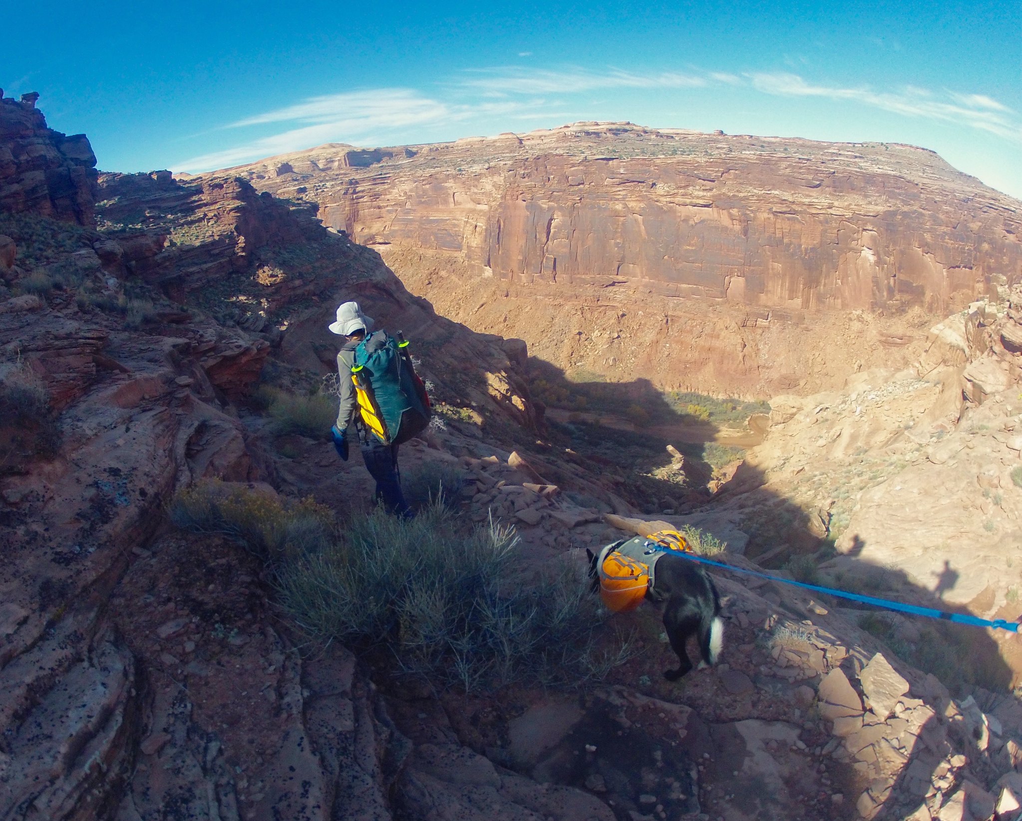
Skirting sure quicksand in lower Horseshoe.
 GOPR2164 by jan nikolajsen, on Flickr
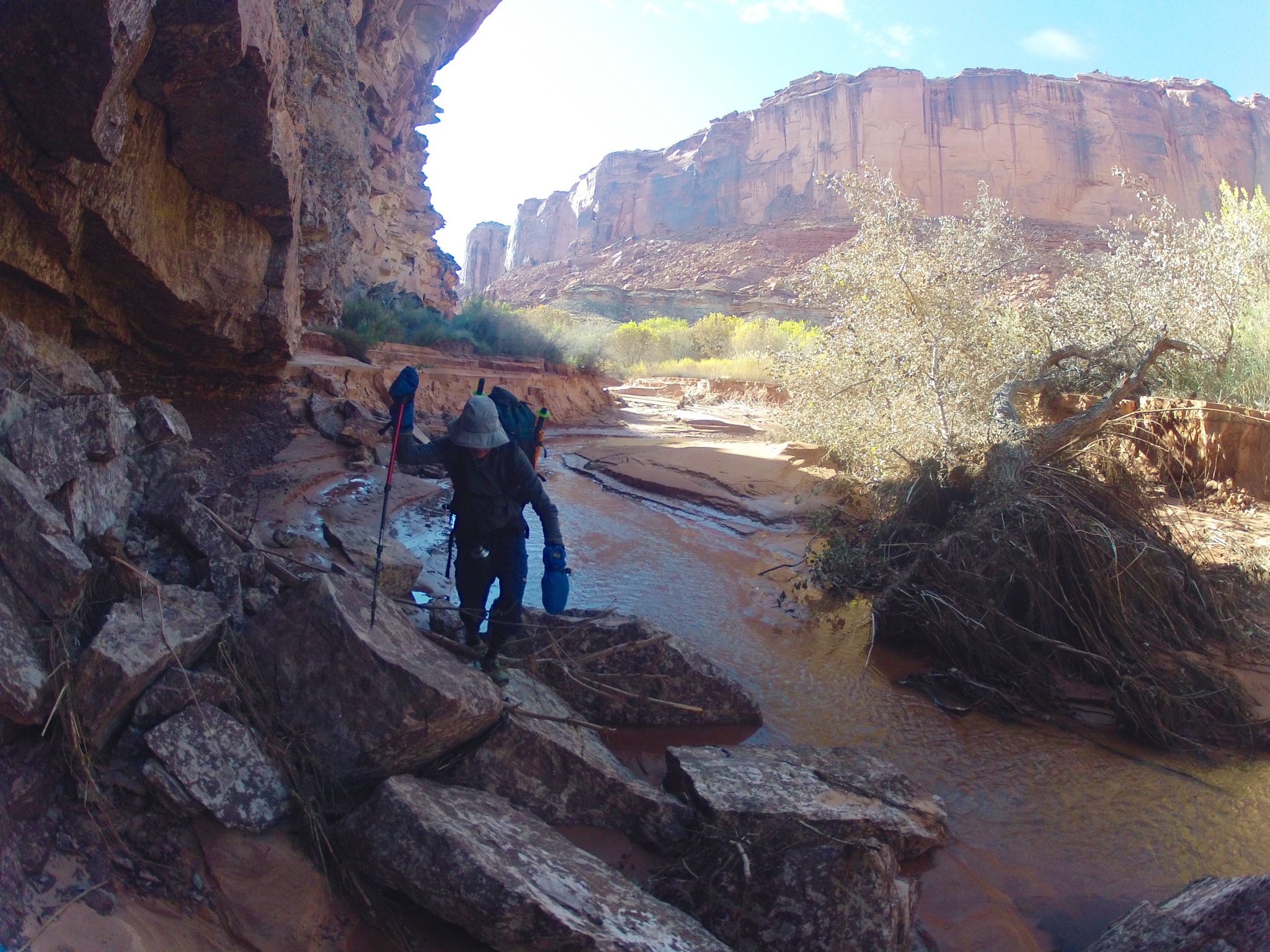
Arriving a the huge flood plain at the mouth of Horseshoe.
 GOPR2172 by jan nikolajsen, on Flickr
Multi use of Thermarest.
 GOPR2175 by jan nikolajsen, on Flickr
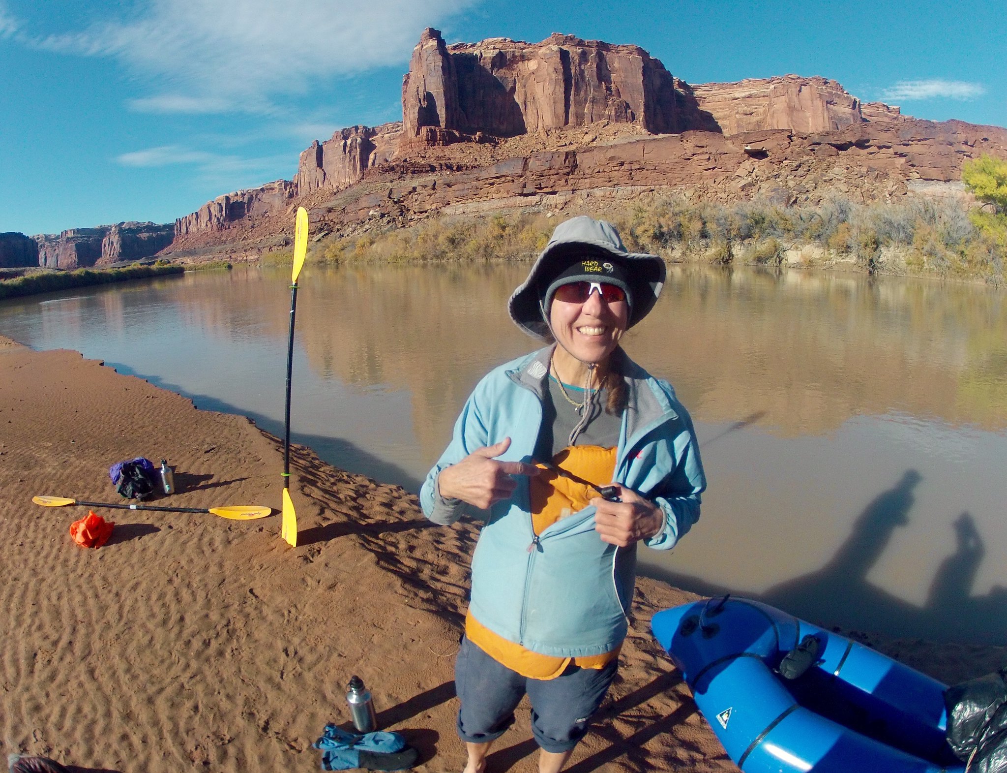
Getting ready.
Featured image for home page:

Paddling the river in a single chamber packraft, we stay close together, cautiously viewing the other boat as a life raft should unseen spiky things catch the thin rubberized material. A low, flat paddle stroke keeps the icy drips from bare fingers and important layers. To keep our naked, damp feet from going completely numb they rest muddily on a small square of Ensolite pad.
The transitions are the magic moments in our packrafting adventures, the distilled essence of this activity. From float to foot and back again, with simple means. An unseen burden in the pack transform effortlessly into little boats, capable looking and surprisingly roomy, ready to set off around the next bend. An equal lack of flaunt quickly hides them and again we're explorers of ridges and mesas.
On this trip of 2 days we started and ended with 6-8 miles of paddling to create a loop taking in two great canyons of the northern Orange Cliffs area. To make it possible we had to find a cpouple of historic cattle routes, the Horsethief Trail out of its namesake canyon and the Angel Trail leading into lower Horseshoe. Connecting them is the wide expanse of the Spur.
Notes: The north facing, shadowy Angel Trail has a couple of spots where even a light veneer of snow would make progress quite risky.
Never been in lower Horseshoe before, but the amount of quicksand present this November was downright scary. One is walking directly in the stream bed for the last mile and a half before the river.
On the river, once the sun drops for good in the late afternoon, be prepared for very frigid pack rafting conditions.
We have done three historic cattle trails in this region: these two, plus the Devil's Slide trail out of lower Millard. The Angel trail is the one in best repair with up to date cairning. Devil's Slide is almost gone, as is most of the lower two thirds of the Horsethief. But at least it is straight forward to locate the general area of the latter.
All images with my old GoPro.
GOPR2053 by jan nikolajsen, on FlickrStaying out of the shadows, after an early morning launch a Mineral Bottom.
GOPR2050 by jan nikolajsen, on Flickrdoggie!
GOPR2056_Fotor by jan nikolajsen, on FlickrReadying for the hike up Horsethief.
[url=https://flic.kr/p/BeiLXt]
GOPR2066 by jan nikolajsen, on Flickrshare[/URL] by jan nikolajsen, on FlickrHorsethief. Mostly a scenic, easy stroll with intermittent water.
GOPR2073 by jan nikolajsen, on FlickrThe upper part becomes entrenched and dark. More water too.
GOPR2082 by jan nikolajsen, on FlickrNear the top of Horsethief trail.
GOPR2099 by jan nikolajsen, on FlickrMorning at camp on the High Spur.
GOPR2104 by jan nikolajsen, on FlickrCampfires, and the legality there off with land managers, dictate our route choices in the colder seasons.
GOPR2115 by jan nikolajsen, on FlickrHiking on the Spur.
GOPR2122 by jan nikolajsen, on FlickrAn upturned juniper. No roads, cowboy camps around. Wind?
GOPR2148 by jan nikolajsen, on FlickrGiven Kelsey’s in-depth descriptions (!) and excellent cartography (!) we found the top of the Angel trail no problem.
GOPR2162 by jan nikolajsen, on FlickrSkirting sure quicksand in lower Horseshoe.
GOPR2164 by jan nikolajsen, on FlickrArriving a the huge flood plain at the mouth of Horseshoe.
GOPR2172 by jan nikolajsen, on FlickrMulti use of Thermarest.
GOPR2175 by jan nikolajsen, on FlickrGetting ready.
Featured image for home page:
Last edited:
 image
image
")