TheDunedain
Not all those who wander are lost
- Joined
- Feb 11, 2012
- Messages
- 37
Continuing on with trip reports from this spring.....
So on Friday, April 13th myself and a few coworkers/friends left Monticello fairly early in the morning towards highway 95 past Blanding with the destination being the little known Hammond Canyon. From 95 we headed up a road that runs from the Natural Bridges access road that takes you high up above the surreal Cedar Mesa through the Bears Ears and onto the pine-forested Elk Ridge. The forest road runs high upon the ridge and passes the breathtaking overlook of Arch Canyon which is where we encountered a large herd of elk (which is where I assume Elk Ridge gets its name) that ran along side the car. Shortly after passing the Arch Canyon Overlook we reached the Hammond Canyon Trailhead close to the Big and Little Notch overlooks.
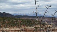
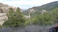
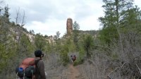
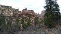
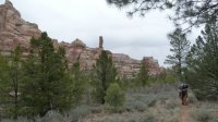
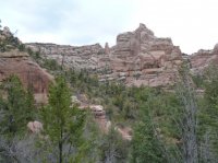
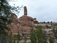
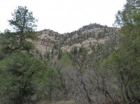
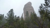
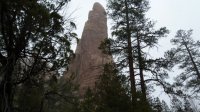
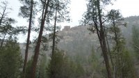
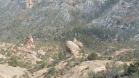
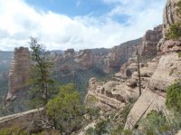
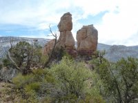
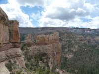
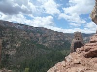
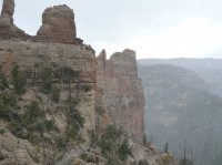
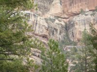
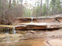
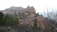
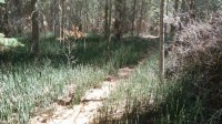
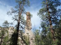
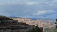
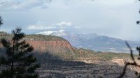
From the trailhead the trail cuts down through the thick pine forest of the 8000+ foot Elk Ridge down to the bottom of the canyon 2000 feet below. On the way down views can be seen of the Abajo Mountains in the Northeast and the entire extent of the canyon. The north side of the canyon features high yellow-orange Cedar Mesa sandstone cliffs with towering spires and hoodoos whereas the south side is more forested and has more vertical cliffs. The 2000 + descent (in less than 2 miles I might add) ends at a huge sandstone spire where the walking gets more flat and a perennial stream starts flowing about a half a mile from here. From the spire we headed down the canyon about another 2 miles or so to the base of the 3 Fingers spires and set up camp near a small waterfall near the base. The plan was to camp there for the night and the next morning to go search for the elusive and little known 3 Fingers ruin.
We awoke Saturday morning to a blizzard. After a damp breakfast and some hanging around a fire and in the tents we decided it would be more interesting to brave the storm and find some shelter in the ruin than to hang around damp at camp all day so we set out to find the ruin. From camp we skirted around the east side of the base of the 3 Fingers and scrambled up some steep sandstone for about 1000 feet where we hit a vertical wall and no signs of the ruin. With no destination in sight and the winds and snow getting worse we huddled under an overhang and waited out the storm.
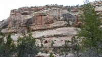
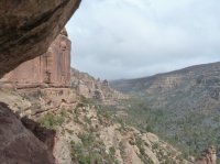
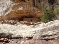
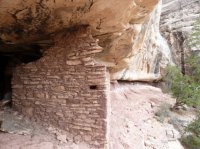
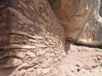
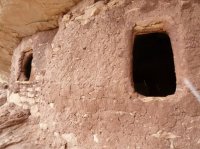
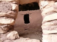
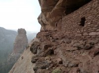
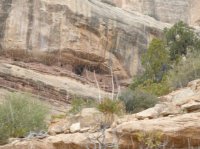
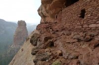
After about 20 minutes or so of waiting someone seemed to flip a switch and the clouds disappeared and the sun came out. We emerged from our shelter somewhat bewildered as to the location of the ruin and began the search again. We rounded the corner to the west and there it lay, no more than 200 yards than where we had previously been sheltered, and what a sight it was. The 3 Fingers ruin has two main living rooms and several granaries. It sits high upon the wall perfectly disguised and gives an excellent view all up and down the canyon.
It would have been an excellent place to defend from for it is extremely tiresome to get to for the steep sandstone you have to climb to get there.
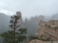
No more than 5 minutes after we arrived at the ruin we saw another storm cycle funneling down the canyon towards us. So, we inevitably hunkered down in our new shelter and had a fire and waited out several storms all day. All an all an amazing experience.
The next day we packed up camp in yet another snowstorm and hiked up, up and out of the canyon where my car was waiting for us. From there we headed out a different way towards the Abajos and Blanding and back to work.
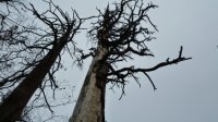
Here's the pics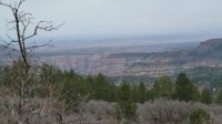
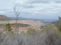
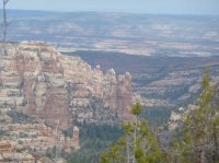
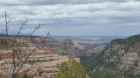
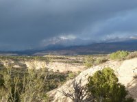
Featured image for home page:
So on Friday, April 13th myself and a few coworkers/friends left Monticello fairly early in the morning towards highway 95 past Blanding with the destination being the little known Hammond Canyon. From 95 we headed up a road that runs from the Natural Bridges access road that takes you high up above the surreal Cedar Mesa through the Bears Ears and onto the pine-forested Elk Ridge. The forest road runs high upon the ridge and passes the breathtaking overlook of Arch Canyon which is where we encountered a large herd of elk (which is where I assume Elk Ridge gets its name) that ran along side the car. Shortly after passing the Arch Canyon Overlook we reached the Hammond Canyon Trailhead close to the Big and Little Notch overlooks.
From the trailhead the trail cuts down through the thick pine forest of the 8000+ foot Elk Ridge down to the bottom of the canyon 2000 feet below. On the way down views can be seen of the Abajo Mountains in the Northeast and the entire extent of the canyon. The north side of the canyon features high yellow-orange Cedar Mesa sandstone cliffs with towering spires and hoodoos whereas the south side is more forested and has more vertical cliffs. The 2000 + descent (in less than 2 miles I might add) ends at a huge sandstone spire where the walking gets more flat and a perennial stream starts flowing about a half a mile from here. From the spire we headed down the canyon about another 2 miles or so to the base of the 3 Fingers spires and set up camp near a small waterfall near the base. The plan was to camp there for the night and the next morning to go search for the elusive and little known 3 Fingers ruin.
We awoke Saturday morning to a blizzard. After a damp breakfast and some hanging around a fire and in the tents we decided it would be more interesting to brave the storm and find some shelter in the ruin than to hang around damp at camp all day so we set out to find the ruin. From camp we skirted around the east side of the base of the 3 Fingers and scrambled up some steep sandstone for about 1000 feet where we hit a vertical wall and no signs of the ruin. With no destination in sight and the winds and snow getting worse we huddled under an overhang and waited out the storm.
After about 20 minutes or so of waiting someone seemed to flip a switch and the clouds disappeared and the sun came out. We emerged from our shelter somewhat bewildered as to the location of the ruin and began the search again. We rounded the corner to the west and there it lay, no more than 200 yards than where we had previously been sheltered, and what a sight it was. The 3 Fingers ruin has two main living rooms and several granaries. It sits high upon the wall perfectly disguised and gives an excellent view all up and down the canyon.
It would have been an excellent place to defend from for it is extremely tiresome to get to for the steep sandstone you have to climb to get there.
No more than 5 minutes after we arrived at the ruin we saw another storm cycle funneling down the canyon towards us. So, we inevitably hunkered down in our new shelter and had a fire and waited out several storms all day. All an all an amazing experience.
The next day we packed up camp in yet another snowstorm and hiked up, up and out of the canyon where my car was waiting for us. From there we headed out a different way towards the Abajos and Blanding and back to work.
Here's the pics


Featured image for home page:

