chandlerwest
Member
- Joined
- Feb 7, 2015
- Messages
- 550
I was a bit distraught when I headed south after my August week because, being able to ford the Middle Fork of the Flathead River was so close to doable. I immediately started dreaming of making a bonus trip later in the year. Plus after a lifetime of visiting Glacier National Park I had never seen it in the fall. I found some comparatively inexpensive lodging in East Glacier so I booked three night the last weekend of September. Jeff was able to join me! My trusty old camera started acting up so I bought a new camera for this trip. It had a few oddities that I struggled with and ended up returning it. That added a level of stress to this trip.
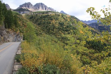
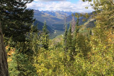
We drove over the Going To The Sun Road excited with having a bit of autumn colors. Played tourist stopping at most pull outs
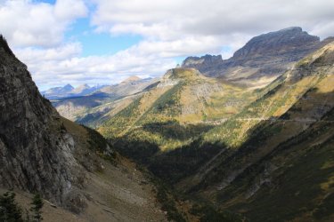
Heaven's Peak ---- The old fire lookout is on the point far to the right. It can be bushwhacked to but I don't have that level of adventure in me any more.
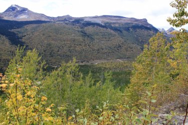
Looking up McDonald Creek
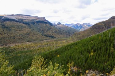
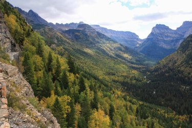
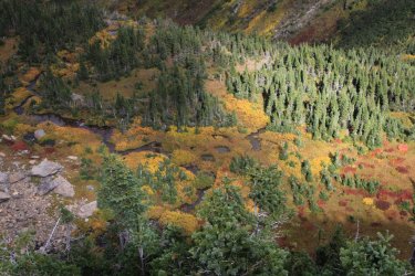
Look at that hillside yonder!
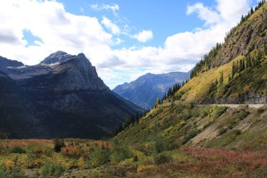
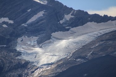
Jackson Glacier completely void of snow. It is sadly shrinking.
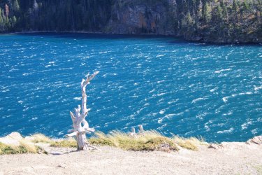
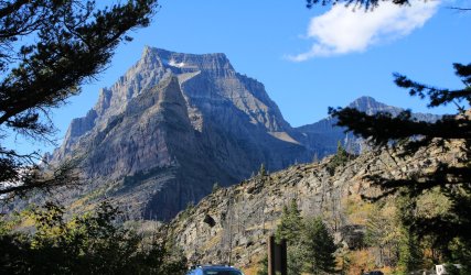
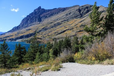
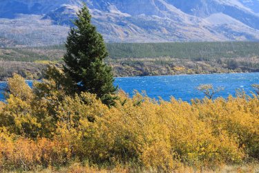
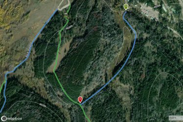
You might recall in the June trip report I mentioned the St. Mary Horse Corral Pasture Trail. A half mile section of trail that doesn't exists any more. I had found, what I believe was the faintest of trails but it quickly disappeared. Having Jeff with me, we were determined to find it. We Did !!
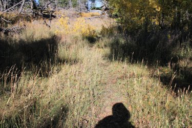
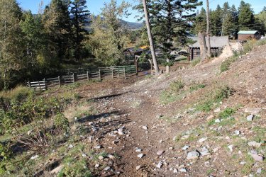
With the grasses down the "path" was a bit clearer than in June. Then it was just a case of following the topography and our intuition.
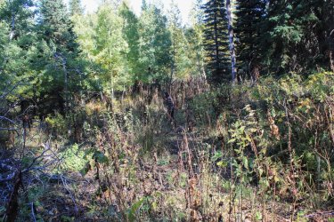
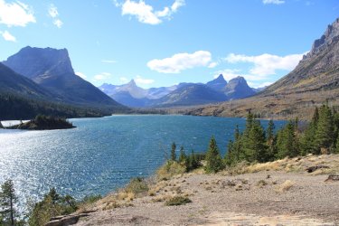
Napi Point - One of the cornerstones of the land purchase from the Blackfoot Tribe.
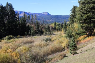
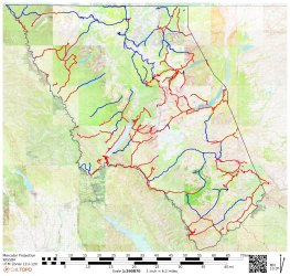
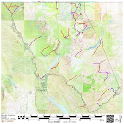
Was a short 1.6 mile loop so "The Project" could capture this half mile of trail. For first timers "The Project" is my attempt to day hike as many of the 734 miles of trail as possible.
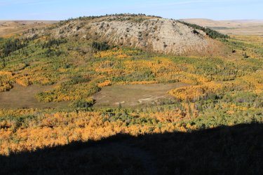
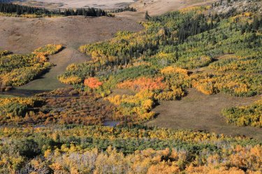
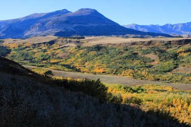
The autumn colors on the drive to East Glacier were great.
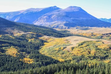
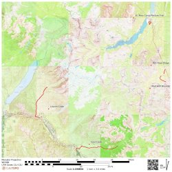
Our first day of hiking was up Coal Creek. It was a 18.4 mile day which got us close to Mt. Saint Nicholas (9,376). One of the hardest of the few technical climbs in Glacier.
We sat in the car waiting for the day to begin.
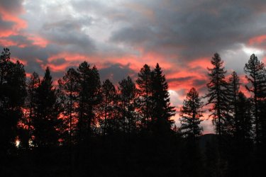
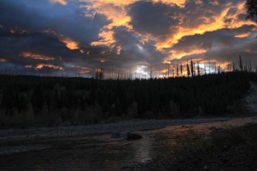
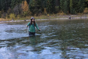
FORDING THE MIDDLE FORK OF THE FLATHEAD RIVER !
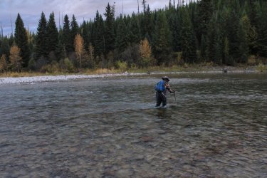
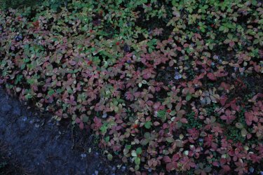
Great Northern Mtn in the Great Bear Wilderness
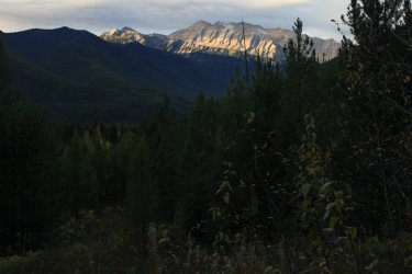
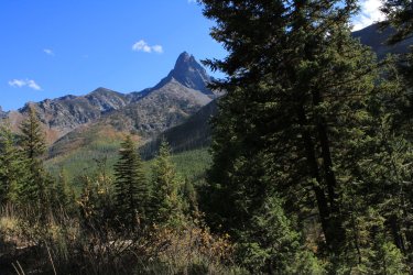
Coal Creek passes between Mt. Doody on the left and Mt. St. Nick on the right.
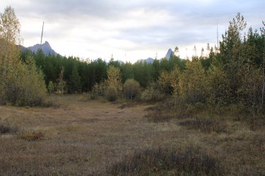
By the end of the day Jeff had lost count of the number of photos I took of St. Nick. I was Finally in this wonderful drainage.
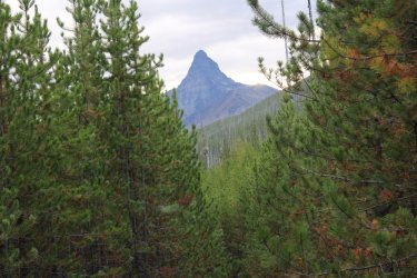
Mt. Doody can be seen from HWY 2. I have driven past it a hundred times, but I had not SEEN it until this day. It is a boss of a mountain!
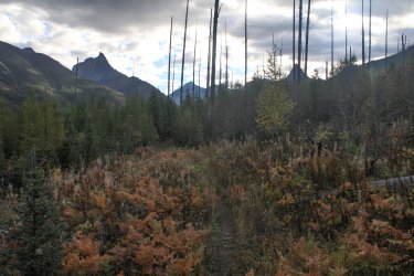
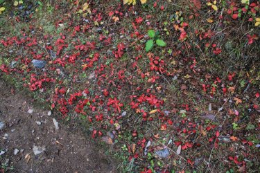
I had been joking with Jeff that every shot I took of the two mountains seemed to be blocked partially by something. We came around a corner to this view and I just laughed.
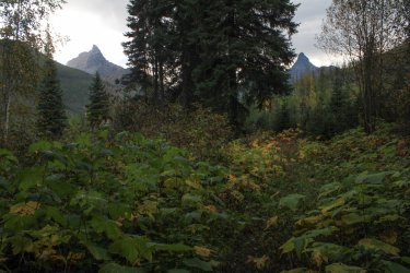
Ford of Coal Creek
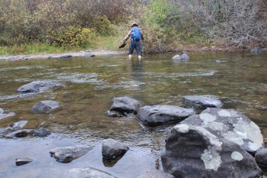
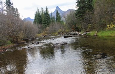
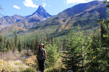
That's me ! Psyched to be here.
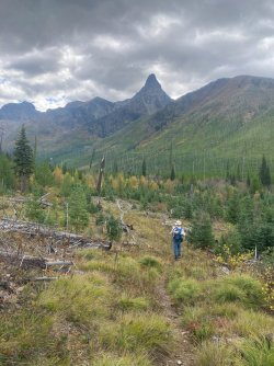
With each half mile a bit more of the drainage opened up to us.
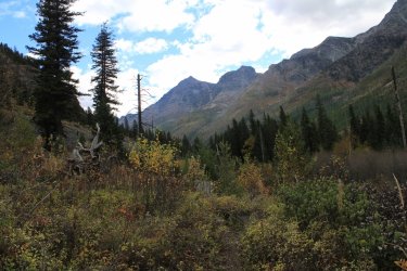
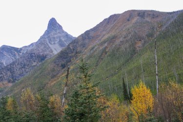
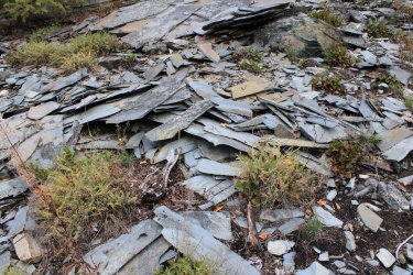
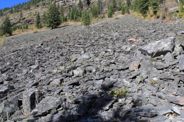
There was a shatter hillside of "broken plates".
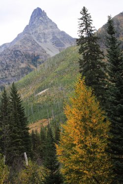
There were few views of Coal Creek itself
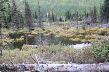
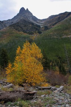
I had a rough turnaround point on the map. Essentially doing a timed hike. We reached this spot and I felt confident that we had, at least, gotten to the turnaround. The 2nd ford of Coal Creek was a mile are so farther and I was thinking of trying for that. But we were both "feeling" the hike. Then we decided that we could walk for a couple more hours and this would be the view we had. It wasn't going to change. ( Trail makes a hard left 2-3 miles up.) So we confidently plopped down and marveled at where we were. We had MAX'd out what a day hiker could do in the Coal Creek Drainage. (We got back to the car as it reached darkness.)
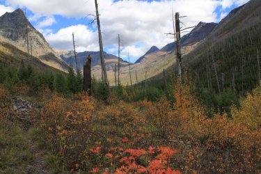
Yet another perspective of Mt. St. Nick.
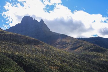
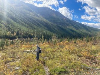
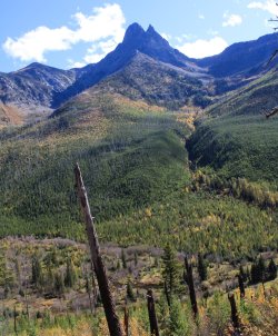
The shattered hillside
@Jeffrey Chandler
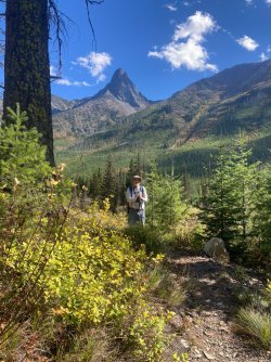
@chandlerwest
I went up the Fielding Trail a quarter mile or so to where it crosses Coal Creek.
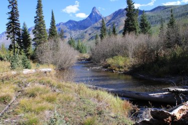
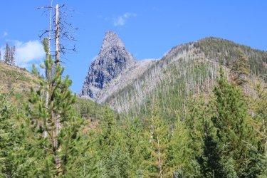
Mt. Doody !!!
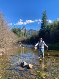
Me at the ford of Coal Creek
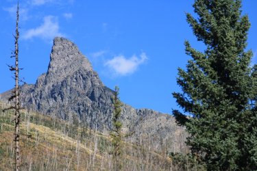
Ya - Mt. Doody is pretty nice.
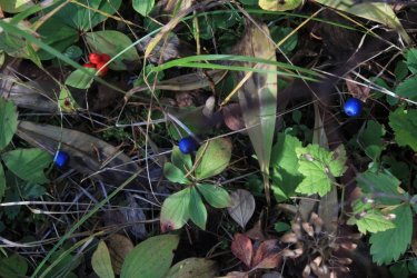
Queencup Beadlily
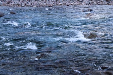
Day 3 - I had three hikes I Wanted to do fording the river. When deciding on what to do today I voted for Lincoln Creek. In 2021 I attempted that drainage and after 3 plus miles I found myself jailed in "downfall hell." The trail vanished and.........the trail beat me. Having Jeff's eyes and experience emboldened me that Lincoln Creek was mine for the taking. Also, day one was big so part of me felt that something could get in the way of doing all three trails. As much as I want to hike of Nyack Creek Lincoln Creek felt like my nemesis and we Had to do it!
Again starting at first light.
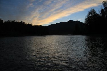
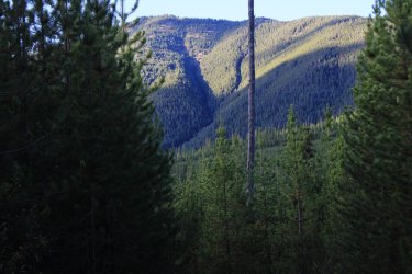
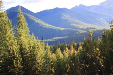
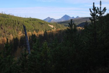
Compared to not seeing Coal Creek, Lincoln Creek has some great views.
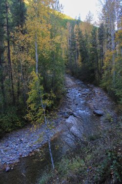
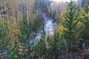
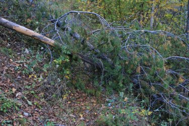
This is a picture from later in the day of an obstacle we met. This tree felt like it was recent as it was so "alive". The slope of the area made it impossible to skirt around, so over it was. The approach was from the downhill side so it made getting over even more interesting. I literally get hung up as those branch had no give. All of a sudden "ppsssssssssssssssssssssssss" I was confused for a few seconds until the smell arrived. Jeff starts running back down trail. Instinctively I did not move. Thank God for that. The bear spray was letting loose on my lower right arm and back Enough was reaching my head to confirm what the hell was going on but it wasn't crippling me. After the can emptied I finished getting over the tree. Jeff quickly followed. I was standing there clueless as to how to proceed. My hand looked like I had dunked it into a bucket of toxic waste. Jeff grabbed some large thimbleberry leaves and I was able to wipe off the gunk. Thus transferring it to my left hand. Then using the wet legs of my pants tried to clean up some. Jeff regaled me as to how "cool" I looked sitting in a shroud of mist. We proceeded up trail wafting away with wonderful aroma of bear spray.
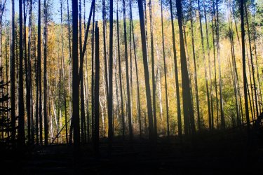
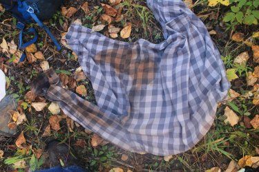
We reached the first ford of Lincoln Creek and I took off my shirts and tried to rinse them and my arms off as best as we could. We could not find a hole in the bear spray can. We think I had torqued the spray nozzle away from the can and away it went!!! Let me finish this story here. As the day progress my skin started burning. Lord it was irritating. But there was nothing to be done about it. It was what it was. On the way out we sat along the trail and said. "I want us to learn all that we can from this experience......I had to pee awhile back.......now I have two hot spots on my penis." Did we Laugh! Thankfully that discomfort didn't last for more than 15 minutes or so. When I woke of the next morning the burning was gone. My body had worked through it or the microns had rubbed off on my sheets.
Back to the hike!!!!!!
The first ford of Lincoln Creek.
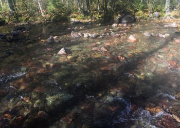
Now...........ALL MAPs show there being three fords of Lincoln Creek. In 2021 I never made it to the 2nd ford as "downfall hell" swallowed me. I had "hired" Jeff to lead the way as the critical mile of trail lay ahead. I stayed quiet because I did not want my 2021 prejudices to effect Jeff (the bloodhound). We approached were my beta said the 2nd ford was near and we were on a strong trail. Walking, walking. I am looking around an I "felt" like I was in "downfall hell" but we were on a strong trail. Jeff is just cruising and I am getting more and more confused. Enough time passed that I was certain that the 2nd ford was behind us, yet.......we were still on a strong trail. Then we started hitting blow downs. Not constant but consistent. Jeff is happy as a pig in slop and I am almost crying because, not only were we dealing with blow downs but every instinct told me that we were off the map. We eventually got together (I had fallen behind in my confusion). Jeff grabbed the map. He had seen a drainage coming in from the south that he felt he could locate. He points on the map. "We are there!" I replied "so........are you thinking that if we keep going we will meet up with the trail that is on the map?" I felt a bit better. I knew that after four mile we entered the Sprague Fire Zone. When we hit that I was confident we were where we were suppose to be. I repeat, that maps going back 80 years and on the current park website show 3 fords. At some point they had rerouted the trail but didn't update the map. Argh. I haven't mentioned that this Lincoln Creek Trail surely doesn't get any use. There is no reason for casual hikers to do it. There is no reason for backpackers to do it as there is a shorter way to get to the Lincoln Lake campground.
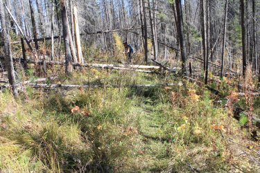
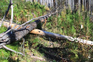
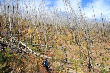
In total we probably did 7 miles with consistent down fall to deal with. Hardly 100 yards would go by clean. My conditioning routine is for a marathon not a steeplechase. My left leg/knee got tweaked somewhere and.......it really hurt. Oh well, I got to snag this trail and get back to the car. Long day!
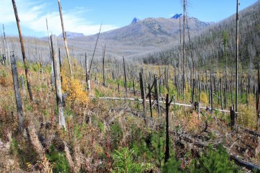
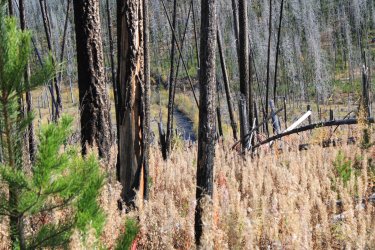
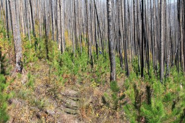
I'm sorry but I love fire zones.
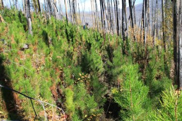
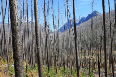
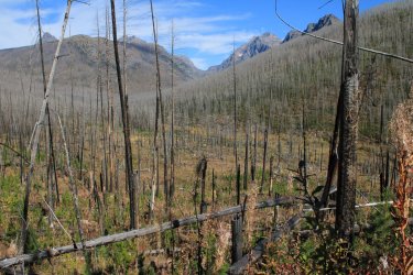
When the views opened up drainage it made everything worth it. The bear spray, the trail confusion, the down fall. There would have been NO views before the fire.
Lincoln Creek
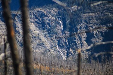
Zoomed in at Beaver Chief Falls that falls from Lake Ellen Wilson into Lincoln Lake
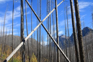
The tallest peak is Mt. Jackson 10,052
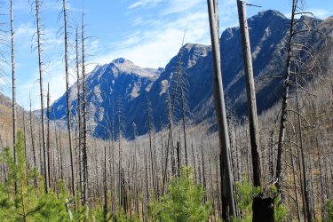
By the time we reached the trail junction where I had been at in 2014 we were ready to head back. The full sun exposure and the blow downs had beat us down. Plus there were my burning hands. We huddled under a bit a shade for lunch.
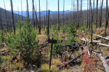
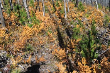
Ugh
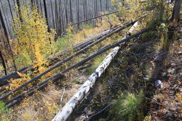
A final view back "THIS IS WHY YOU HIKE EVERY MILE OF TRAIL"
Trying to cool off back at the Lincoln Ford. It helped.......for 15 minutes. This was a 16 mile day.
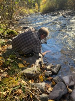
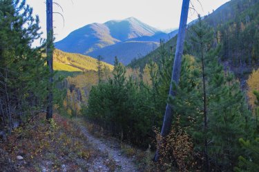
After two long days and my leg hurting we regrettably decide that hiking another 16 miles in the Nyack might not be a wise thing to do on Day 4. Horrible as snagging these tree trails were the sole purpose of this bonus trip. But I couldn't drag my leg that far.
Not wanting to write off an entire day I suggesting we try a couple small hikes in the Cut Bank Drainage. "I can make it 4 miles on adrenaline, surely."
What I feel is the best entry sign to the park. The is just something beautiful in its simplicity.
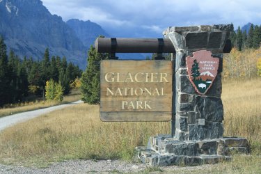
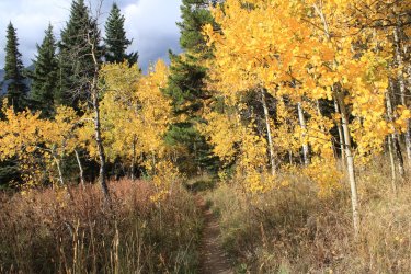
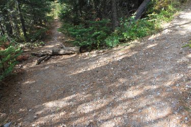
The main trail takes off to the right, up towards Triple Divide Pass. They obviously are trying to discourage you from going to the left. This is the Mad Wolf Boundary Trail which isn't on the maps. But The Project has it in the 734 miles of trail.
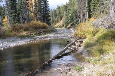
Ford of Camas Creek
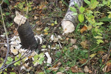
Beavers are amazing. He needed a few more friends to drag the cut end away, I suppose.
Thimbleberries
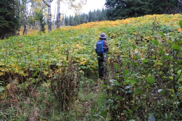
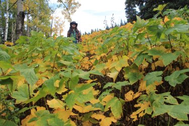
I found that I could go uphill okay(?) but downhill would suck. That is Triple Divide Peak low on the left.
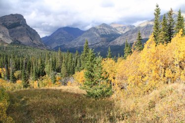
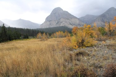
The bright yellow is near the Ranger Station.
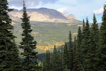
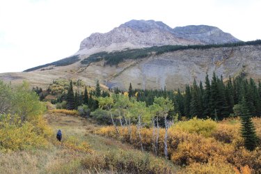
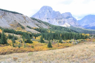
The beta on this trail was that you go until it gets lost in the grasses. It practically provides climbing access to Mad Wolf Mtn, I think. See that lower ridge center-right (green)? We get there later in the day.
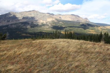
Time to creak my way down hill.
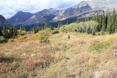
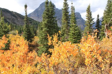
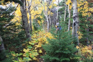
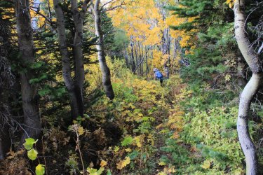
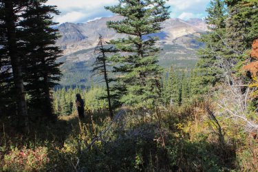
That looks like an interesting basin
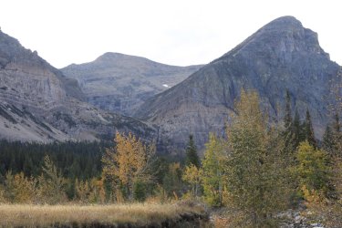
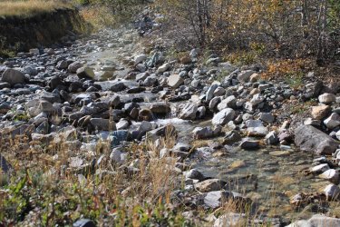
Eating lunch by the stream I declared. "If I learned anything this morning I don't think we need to do the Milk River Ridge Trail. We can do that another time when my leg is not hurting me. But I want to check out if there is Even a trailhead there."
We get out of the car at the Ranger Station and the Ranger is just getting into her truck to leave. Seeing us she got out to she what we were doing. I proceeded to tell her that we were looking for the trailhead that goes up the ridge. She was unaware of this "trail". I assured her that in theory there is a trail there. I tell myself that she was not stationed there but had come from headquarters to make sure that everything was locked up for the season. Jeff quickly shouted out that he had found the trail.
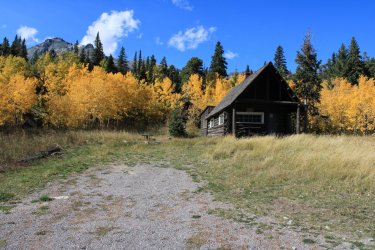
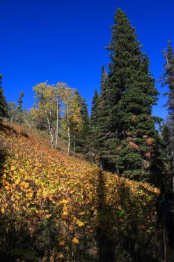
We stood here in silence. "You know........this trail is a mile up and back. In June or August this would be a bland trip through the green forest. THIS is the season to do this trail." So back to the car to grab our bags!!
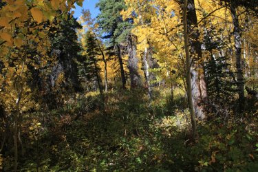
Again Jeff took the lead and would mention every sign he saw that there definitely is a trail here........for some reason. The beta says that all it does is goes up and meets the boundary fence.
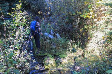
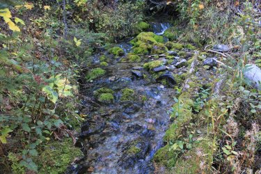
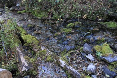
Both of us awed at this stream crossing. The logs.....the moss covered rocks.....just the right amount of babble.
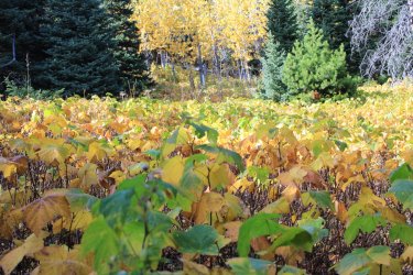
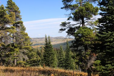
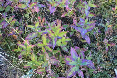
Jeff stops and asks "what are you doing here." It was a strawberry blossom. On Sept 30th. I didn't take a picture of that but I thought this ground cover was nice.
The "trail" petered out in this meadow. I told Jeff that I was fine with turning back. With how long we had been gone the fence had to be near but we had to sign as to it. We had done enough to grab this little trail for The Project. He said that he wanted to get to the tree line and see what is there.
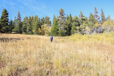
We got there and he kept going believing the fence should be......there. I was over it so I went back to the meadow and waited.
This is a view over to where we had been on Mad Wolf.
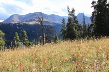
I went down and look towards a lower meadow and I eventually heard "Marco" and we met back up. He couldn't believe that the trail and blazes simply....stopped. After awhile I go "is that something"? It was white on white so Jeff couldn't see it. We went down and damn if it wasn't a blaze. Not 10 feet from that stupid strawberry blossom. While I am scouring to the east Jeff shoots by me and in a short while he is waving for me. Within a hundred yards......fence.
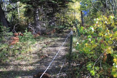
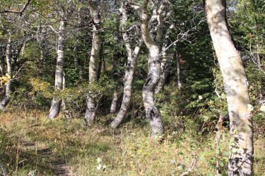
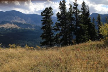
For some reason he put me out front on the way down. Walking, walking, following a ghost of a trail. We passed a spot that we had been separated on on the way in so we discussed its uniqueness and kept following the route. After a short while we both KNEW "we haven't been here before." We spent the better part of an hour, not necessarily lost, but definitely not on the route we came in on. After much head scratching Jeff shouted out for me and we were......found. We came to realize that that "unique" spot was a similar area that we had gone through earlier. Whatever.........we were on the trail now......going down hill........and my leg hurt.......Ha.
Back at that stream crossing. "This is why you hike all of the trails!"
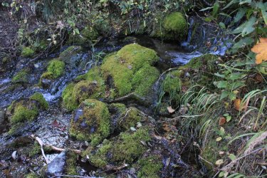
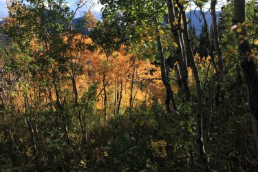
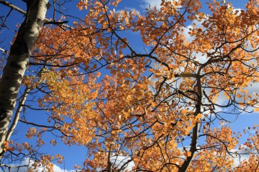
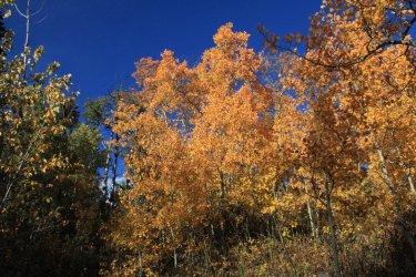
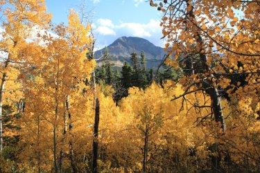
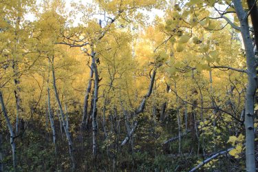
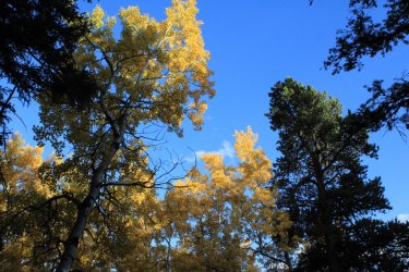
It was disappointing not to get up Nyack Creek but we will get across that river in August sometime in the future, hopefully. I owed it to myself to see Glacier in the fall !!
The Project snagged 15.4 new miles of trail! Those 3.73 miles of new trail in Lincoln Creek are the hardest fought miles of The Project.
We drove over the Going To The Sun Road excited with having a bit of autumn colors. Played tourist stopping at most pull outs
Heaven's Peak ---- The old fire lookout is on the point far to the right. It can be bushwhacked to but I don't have that level of adventure in me any more.

Looking up McDonald Creek


Look at that hillside yonder!


Jackson Glacier completely void of snow. It is sadly shrinking.


You might recall in the June trip report I mentioned the St. Mary Horse Corral Pasture Trail. A half mile section of trail that doesn't exists any more. I had found, what I believe was the faintest of trails but it quickly disappeared. Having Jeff with me, we were determined to find it. We Did !!

With the grasses down the "path" was a bit clearer than in June. Then it was just a case of following the topography and our intuition.


Napi Point - One of the cornerstones of the land purchase from the Blackfoot Tribe.

Was a short 1.6 mile loop so "The Project" could capture this half mile of trail. For first timers "The Project" is my attempt to day hike as many of the 734 miles of trail as possible.

The autumn colors on the drive to East Glacier were great.


Our first day of hiking was up Coal Creek. It was a 18.4 mile day which got us close to Mt. Saint Nicholas (9,376). One of the hardest of the few technical climbs in Glacier.
We sat in the car waiting for the day to begin.


FORDING THE MIDDLE FORK OF THE FLATHEAD RIVER !


Great Northern Mtn in the Great Bear Wilderness

Coal Creek passes between Mt. Doody on the left and Mt. St. Nick on the right.

By the end of the day Jeff had lost count of the number of photos I took of St. Nick. I was Finally in this wonderful drainage.

Mt. Doody can be seen from HWY 2. I have driven past it a hundred times, but I had not SEEN it until this day. It is a boss of a mountain!


I had been joking with Jeff that every shot I took of the two mountains seemed to be blocked partially by something. We came around a corner to this view and I just laughed.

Ford of Coal Creek


That's me ! Psyched to be here.

With each half mile a bit more of the drainage opened up to us.

There was a shatter hillside of "broken plates".


There were few views of Coal Creek itself


I had a rough turnaround point on the map. Essentially doing a timed hike. We reached this spot and I felt confident that we had, at least, gotten to the turnaround. The 2nd ford of Coal Creek was a mile are so farther and I was thinking of trying for that. But we were both "feeling" the hike. Then we decided that we could walk for a couple more hours and this would be the view we had. It wasn't going to change. ( Trail makes a hard left 2-3 miles up.) So we confidently plopped down and marveled at where we were. We had MAX'd out what a day hiker could do in the Coal Creek Drainage. (We got back to the car as it reached darkness.)

Yet another perspective of Mt. St. Nick.


The shattered hillside

@Jeffrey Chandler

@chandlerwest

I went up the Fielding Trail a quarter mile or so to where it crosses Coal Creek.

Mt. Doody !!!

Me at the ford of Coal Creek

Ya - Mt. Doody is pretty nice.

Queencup Beadlily


Day 3 - I had three hikes I Wanted to do fording the river. When deciding on what to do today I voted for Lincoln Creek. In 2021 I attempted that drainage and after 3 plus miles I found myself jailed in "downfall hell." The trail vanished and.........the trail beat me. Having Jeff's eyes and experience emboldened me that Lincoln Creek was mine for the taking. Also, day one was big so part of me felt that something could get in the way of doing all three trails. As much as I want to hike of Nyack Creek Lincoln Creek felt like my nemesis and we Had to do it!
Again starting at first light.

Compared to not seeing Coal Creek, Lincoln Creek has some great views.


This is a picture from later in the day of an obstacle we met. This tree felt like it was recent as it was so "alive". The slope of the area made it impossible to skirt around, so over it was. The approach was from the downhill side so it made getting over even more interesting. I literally get hung up as those branch had no give. All of a sudden "ppsssssssssssssssssssssssss" I was confused for a few seconds until the smell arrived. Jeff starts running back down trail. Instinctively I did not move. Thank God for that. The bear spray was letting loose on my lower right arm and back Enough was reaching my head to confirm what the hell was going on but it wasn't crippling me. After the can emptied I finished getting over the tree. Jeff quickly followed. I was standing there clueless as to how to proceed. My hand looked like I had dunked it into a bucket of toxic waste. Jeff grabbed some large thimbleberry leaves and I was able to wipe off the gunk. Thus transferring it to my left hand. Then using the wet legs of my pants tried to clean up some. Jeff regaled me as to how "cool" I looked sitting in a shroud of mist. We proceeded up trail wafting away with wonderful aroma of bear spray.


We reached the first ford of Lincoln Creek and I took off my shirts and tried to rinse them and my arms off as best as we could. We could not find a hole in the bear spray can. We think I had torqued the spray nozzle away from the can and away it went!!! Let me finish this story here. As the day progress my skin started burning. Lord it was irritating. But there was nothing to be done about it. It was what it was. On the way out we sat along the trail and said. "I want us to learn all that we can from this experience......I had to pee awhile back.......now I have two hot spots on my penis." Did we Laugh! Thankfully that discomfort didn't last for more than 15 minutes or so. When I woke of the next morning the burning was gone. My body had worked through it or the microns had rubbed off on my sheets.

Back to the hike!!!!!!
The first ford of Lincoln Creek.

Now...........ALL MAPs show there being three fords of Lincoln Creek. In 2021 I never made it to the 2nd ford as "downfall hell" swallowed me. I had "hired" Jeff to lead the way as the critical mile of trail lay ahead. I stayed quiet because I did not want my 2021 prejudices to effect Jeff (the bloodhound). We approached were my beta said the 2nd ford was near and we were on a strong trail. Walking, walking. I am looking around an I "felt" like I was in "downfall hell" but we were on a strong trail. Jeff is just cruising and I am getting more and more confused. Enough time passed that I was certain that the 2nd ford was behind us, yet.......we were still on a strong trail. Then we started hitting blow downs. Not constant but consistent. Jeff is happy as a pig in slop and I am almost crying because, not only were we dealing with blow downs but every instinct told me that we were off the map. We eventually got together (I had fallen behind in my confusion). Jeff grabbed the map. He had seen a drainage coming in from the south that he felt he could locate. He points on the map. "We are there!" I replied "so........are you thinking that if we keep going we will meet up with the trail that is on the map?" I felt a bit better. I knew that after four mile we entered the Sprague Fire Zone. When we hit that I was confident we were where we were suppose to be. I repeat, that maps going back 80 years and on the current park website show 3 fords. At some point they had rerouted the trail but didn't update the map. Argh. I haven't mentioned that this Lincoln Creek Trail surely doesn't get any use. There is no reason for casual hikers to do it. There is no reason for backpackers to do it as there is a shorter way to get to the Lincoln Lake campground.


In total we probably did 7 miles with consistent down fall to deal with. Hardly 100 yards would go by clean. My conditioning routine is for a marathon not a steeplechase. My left leg/knee got tweaked somewhere and.......it really hurt. Oh well, I got to snag this trail and get back to the car. Long day!
I'm sorry but I love fire zones.

When the views opened up drainage it made everything worth it. The bear spray, the trail confusion, the down fall. There would have been NO views before the fire.

Lincoln Creek


Zoomed in at Beaver Chief Falls that falls from Lake Ellen Wilson into Lincoln Lake


The tallest peak is Mt. Jackson 10,052

By the time we reached the trail junction where I had been at in 2014 we were ready to head back. The full sun exposure and the blow downs had beat us down. Plus there were my burning hands. We huddled under a bit a shade for lunch.


Ugh

A final view back "THIS IS WHY YOU HIKE EVERY MILE OF TRAIL"

Trying to cool off back at the Lincoln Ford. It helped.......for 15 minutes. This was a 16 mile day.


After two long days and my leg hurting we regrettably decide that hiking another 16 miles in the Nyack might not be a wise thing to do on Day 4. Horrible as snagging these tree trails were the sole purpose of this bonus trip. But I couldn't drag my leg that far.
Not wanting to write off an entire day I suggesting we try a couple small hikes in the Cut Bank Drainage. "I can make it 4 miles on adrenaline, surely."
What I feel is the best entry sign to the park. The is just something beautiful in its simplicity.


The main trail takes off to the right, up towards Triple Divide Pass. They obviously are trying to discourage you from going to the left. This is the Mad Wolf Boundary Trail which isn't on the maps. But The Project has it in the 734 miles of trail.

Ford of Camas Creek

Beavers are amazing. He needed a few more friends to drag the cut end away, I suppose.


Thimbleberries


I found that I could go uphill okay(?) but downhill would suck. That is Triple Divide Peak low on the left.

The bright yellow is near the Ranger Station.


The beta on this trail was that you go until it gets lost in the grasses. It practically provides climbing access to Mad Wolf Mtn, I think. See that lower ridge center-right (green)? We get there later in the day.

Time to creak my way down hill.


That looks like an interesting basin

Eating lunch by the stream I declared. "If I learned anything this morning I don't think we need to do the Milk River Ridge Trail. We can do that another time when my leg is not hurting me. But I want to check out if there is Even a trailhead there."

We get out of the car at the Ranger Station and the Ranger is just getting into her truck to leave. Seeing us she got out to she what we were doing. I proceeded to tell her that we were looking for the trailhead that goes up the ridge. She was unaware of this "trail". I assured her that in theory there is a trail there. I tell myself that she was not stationed there but had come from headquarters to make sure that everything was locked up for the season. Jeff quickly shouted out that he had found the trail.

We stood here in silence. "You know........this trail is a mile up and back. In June or August this would be a bland trip through the green forest. THIS is the season to do this trail." So back to the car to grab our bags!!

Again Jeff took the lead and would mention every sign he saw that there definitely is a trail here........for some reason. The beta says that all it does is goes up and meets the boundary fence.

Both of us awed at this stream crossing. The logs.....the moss covered rocks.....just the right amount of babble.


Jeff stops and asks "what are you doing here." It was a strawberry blossom. On Sept 30th. I didn't take a picture of that but I thought this ground cover was nice.

The "trail" petered out in this meadow. I told Jeff that I was fine with turning back. With how long we had been gone the fence had to be near but we had to sign as to it. We had done enough to grab this little trail for The Project. He said that he wanted to get to the tree line and see what is there.

We got there and he kept going believing the fence should be......there. I was over it so I went back to the meadow and waited.
This is a view over to where we had been on Mad Wolf.

I went down and look towards a lower meadow and I eventually heard "Marco" and we met back up. He couldn't believe that the trail and blazes simply....stopped. After awhile I go "is that something"? It was white on white so Jeff couldn't see it. We went down and damn if it wasn't a blaze. Not 10 feet from that stupid strawberry blossom. While I am scouring to the east Jeff shoots by me and in a short while he is waving for me. Within a hundred yards......fence.


For some reason he put me out front on the way down. Walking, walking, following a ghost of a trail. We passed a spot that we had been separated on on the way in so we discussed its uniqueness and kept following the route. After a short while we both KNEW "we haven't been here before." We spent the better part of an hour, not necessarily lost, but definitely not on the route we came in on. After much head scratching Jeff shouted out for me and we were......found. We came to realize that that "unique" spot was a similar area that we had gone through earlier. Whatever.........we were on the trail now......going down hill........and my leg hurt.......Ha.
Back at that stream crossing. "This is why you hike all of the trails!"


It was disappointing not to get up Nyack Creek but we will get across that river in August sometime in the future, hopefully. I owed it to myself to see Glacier in the fall !!
The Project snagged 15.4 new miles of trail! Those 3.73 miles of new trail in Lincoln Creek are the hardest fought miles of The Project.

Last edited:

