- Joined
- Aug 21, 2018
- Messages
- 694
Part One of this Trip: Portal Creek/Windy Pass to Ramshorn Lake
At the end of Part One @Bob , @scatman , and I had camped for the night at Ramshorn Lake in the Gallatin National Forest. This report starts up the next morning.
Day Three: August 10, 2025.
Luckily the morning of Day Three presented with favorable weather and no one had packed up/bailed out in the middle of the night. With morale being high we had our breakfasts, packed up camp, and began our ascent towards the ridge line. The challenge for the next day or two would be water -- there is no reliable water source once the snow melts on the Sky Rim Trail. Did we load up extra bottles at the lake? Did we sip and ration what we were able to carry? Did we become delusional and see mirages on the horizon? No, No, and maybe (but not from a lack of water). We had a secret weapon, an ace in the hole so to speak. His identity will be revealed shortly.
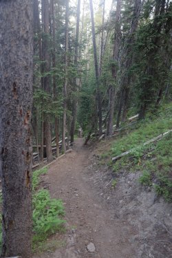
As we walked thru the trees towards the upper elevations I could not help but remember the reassuring words one of the locals left with us the night before. Once we made it to the ridge line it would be "Smooth Sailing," so that became the theme for the rest of the hike.
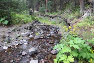
I think this was the last reliable water source before climbing up to Sky Rim. I filled my 1.5 liter bottle here just in case.
Going Up!
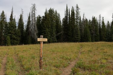
The Forest Service had a number of newer looking signs placed above Ramshorn Lake. The Gallatin Crest has morphed into the Tom Minder Divide Trail it seems.
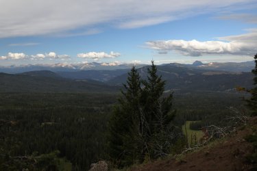
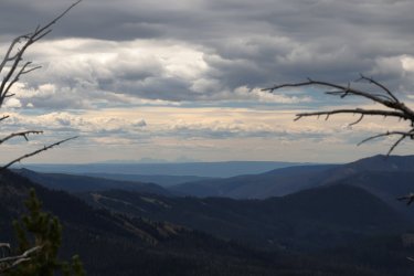
Familiar views began to appear to the West.
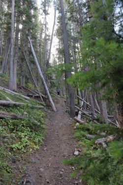
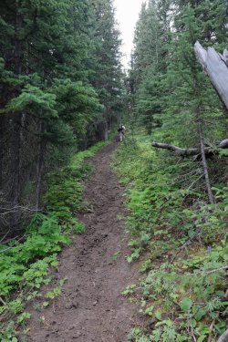
This part of the trail would not have been fun in the rain/wet. The tracks of a large grizzly bear could be seen sliding down the slope as we made our ascent.
I think I saw Bob take more pictures on this trip vs. past trips I've been on with him. Maybe Hugh and I are rubbing off on him, or maybe I just never paid attention to Bob's picture taking frequency before.
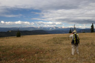
Time to reveal our secrets -- our hidden advantage was Bob. He had hiked up to a strategic spot earlier in the week and stashed each of us two 2L bottles of water to keep us hydrated for the next two days. Hugh and I were grateful. I had mental images of Bob and Mrs. Bob chugging down soda from those bottles just so he had something to put the water in.
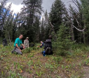
We had an early start from last night's campsite and Hugh did not have a chance to get his morning stretching/yoga session in. I believe he was trying to incorporate his routine while on the trail. It is also possible he was chasing off a mosquito. Hi-Yah!
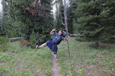
One last hill to climb and we would officially be leaving the Gallatin Crest. Next up, Sky Rim! The overcast skies in the morning were welcomed as it kept the heat of the sun to a minimum.
Hugh was the first to reach the Yellowstone Boundary. The marker is just above him in this picture. Those are not flowers you see along the trail, those are autumn colors starting to sneak in.
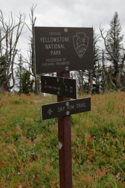
Officially in Yellowstone National Park and walking on the Sky Rim Trail.
What do we have here? A view of the Tetons from the Northern Boundary of Yellowstone? Fabulous!
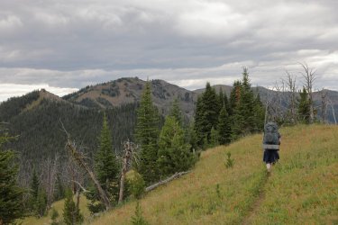
Hugh and Bob, leading the way. Skies were still overcast but the clouds were beginning break with patches of blue popping thru to the West.
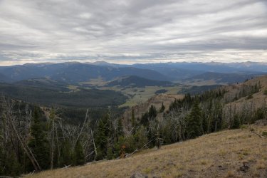
A look down into Yellowstone. We were still somewhere above the Daley Creek Drainage.
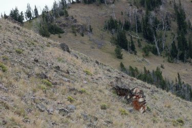
The first of several petrified logs I noticed along the trail. At least that is what I thought it was from a distance.
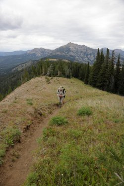
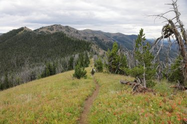
Looking back to the West, the trail visible on the ridgeline.
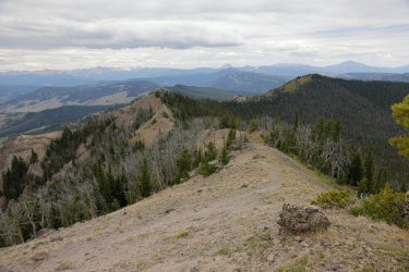
This would be our first big hill climb of the day on Sky Rim. This was also one of the first times we encountered switchbacks on such a hill. If this had been the Gallatin Crest/on Forest Service Land (which it still could have technically been) the trail would have gone straight up the hill. As expected @scatman took the lead yet again.
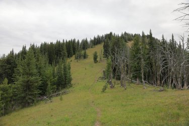
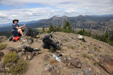
Up on top of the hill. Check out those water bottles -- liquid gold on this part of the trail. The sun began to break thru the clouds around this time highlighting some of the surrounding terrain.
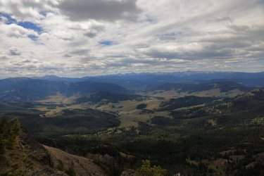
Looking into Yellowstone/to the South.
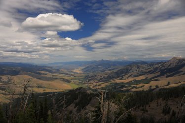
Looking North to Paradise Valley.
This is the spot where I took one of the best group photographs of my backpacking career. Hugh, myself, and @Bob are in this one.
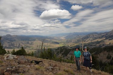
Bob had drifted off into one of his power naps, so I did not have the heart to wake him for a group photo. I did take advantage of the situation for this striking image. It kind of has "The Art of Seduction" vibe to it, doesn't it?
We were kind enough to make sure Bob was awake before moving on down the trail. He mentioned some of his companions moved on and left him sleeping on a past trip. Hugh and I may be guilty of some shenanigans, but we did not want an eagle to fly down and peck out Bob's eyeballs. You are safe with us Bob.
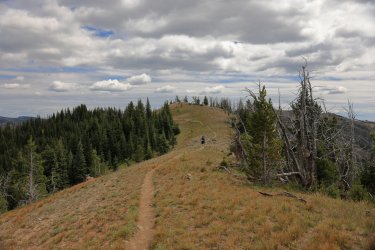
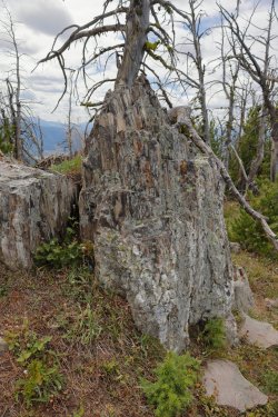
If you hike with me for any distance in these (and similar geologically speaking) parts, you will know that I get excited when it comes to petrified wood sightings. I noticed this large trunk/stump/piece on a ridge above the trail and had to check it out. I bet it was four to five feet in diameter. I was tempted, but I did not try to squeeze it into my pack.
We had another big hill to climb on this day, and the path ahead more or less zig zagged in front of us. We followed the ridges to the left that led to the top of the hill. Guess who led the way?
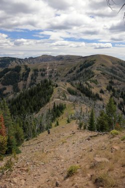
Looking back from where we had come. Bob looks to be trucking right along.
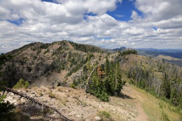
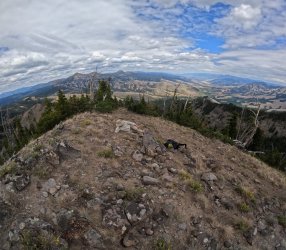
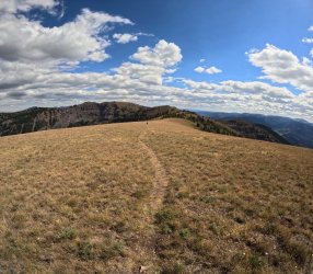
A wide angle view from the top of the second big hill. Ramshorn Peak and Paradise Valley are visible. . . maybe even Windy Pass too if you squint/use your imagination.
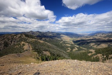
We took a short rest on top of Big Hill #2 but did not dilly dally as our campsite for the night was up ahead near those trees in the distance.
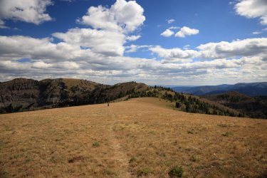
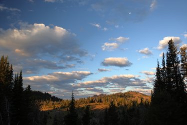
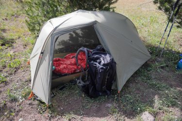
Home for the night. I'm pretty sure we were outside the park boundary. . . maybe hugging it a bit. It all depended what angle you looked from when standing at the boundary marker. 
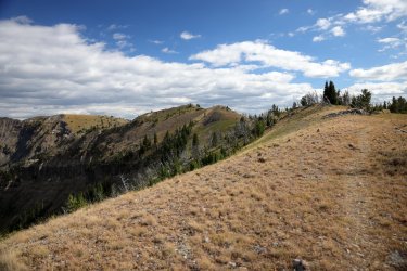
Once settled in we checked out our surroundings. Tomorrow's route looked straight forward (with ups/downs of course) leading to Bighorn Peak at the left.
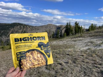
It seemed only appropriate to have another Bighorn meal. . . being nearly in the shadow of Bighorn Peak and all.
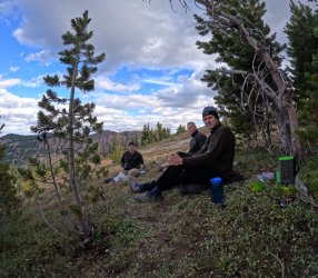
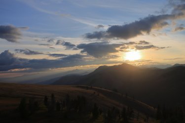
The setting sun cast a warm glow on the hills North/West of us.
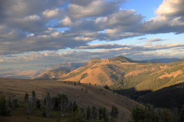
Hugh turned in early, but Bob and I braved the dropping temperatures to check out the sunset. I think it was worth staying up a little later. Normally I would have attempted to take pictures of the night sky, but the bright moonlight washed out the stars. I took some time lapse video with the GoPro that I'll post when I have time for editing.
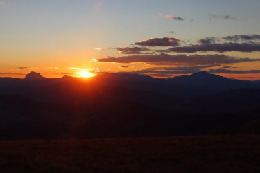
Day Four: August 11, 2025.
The goal of day four was to hike less than five miles to our next campsite outside the park overlooking Shelf Lake. We still had plenty of water with us and would easily make it to the lake for a refill without running out. Bob told us there would be two hills today -- one small one and one big one. Hugh and I knew that if we could make it up the big one the rest of the day would be Smooth Sailing. I'll tell you that I made it up the big hill, but found the waters to be a little choppy shortly after.
Sunrise the morning of Day Four. I liked how the sun rays beamed down into Paradise Valley.
Lighting up the landscape to the South/West. The moon was neat to see in the morning sky.
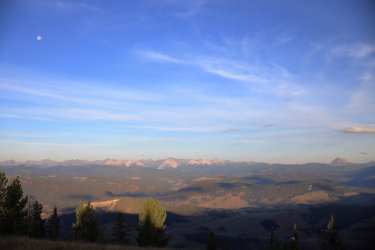
Bob had taken off ahead of Hugh and I. We thought this might have been the small hill he was talking about. Visibility was still our friend this morning and Ramshorn Peak stood tall behind yesterday's big hill #2.
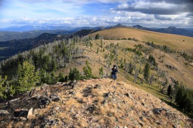
Looking forward we could see what must have been the big hill ahead of us. Normally we could visualize the trail weaving its way up the hill. I thought it strange that this time we could not. . . but the trail had to be there, right?
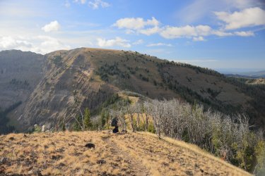
Getting closer. . . I can follow the trail leading up to the hill, but no trail on the hill.
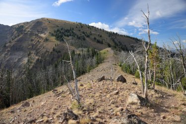
As we approached the base of the hill we followed a few trail markers into the trees that led upwards. It was not long after that the trail markers, and the trail, disappeared. The path forward was more or less a "find your own way to the top" type of approach.
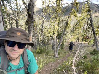
Shortly after taking the next picture I tucked all the photography equipment away and took a straight line towards the top, National Forest Style. The trail on my GPS showed switchbacks working their way upwards. My actual path/track was a straight line cutting across those GPS dotted lines of the "official trail." This hill was steep; I bet the angle was 45 degrees or more in places. If you slipped/started to roll downhill there was not much that was going to stop you.
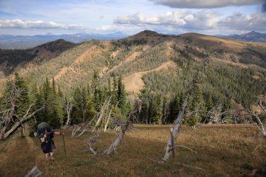
Happily we all made it to the top. I later learned from Bob/Hugh that this was officially Bighorn Peak.
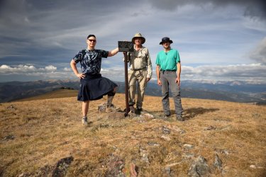
I was happy and proud to have accomplished the big hill climb for the day. My stomach grew a couple butterflies though when we walked a little farther and I saw the stretch of trail between Bighorn and Wickiup Peaks. Did I mention somewhere that I do not like heights?
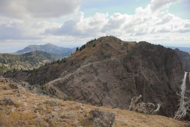
As you already know, I made it across this part of the trail. I only managed it because I did not look at anything besides my feet the entire time I was walking on the trail. I did not take any pictures, but I did turn on the GoPro at the start and this video takes you along with me. I realize that many people can hike this sort of exposure easily and to them it is just another walk in the park. You'll notice Hugh swiveling in all different directions/taking pictures in front of me, he is one of those people.
The video starts a little slow, but fast forward to the middle/end for some better stuff.
So we made it across and took a well-deserved rest atop Wickiup Peak.
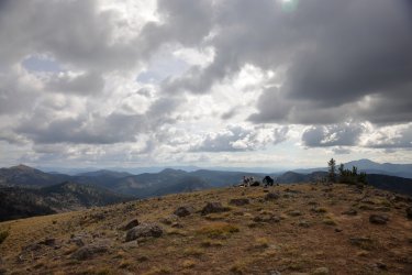
The views continued to be superb. In this next picture you can see Big Hill #2 we climbed the day before and the general location of our campsite in the saddle just to the left of that big hill. This morning we climbed the little hill in the middle, then dropped down only to climb the next big hill on the right. More or less our last 20ish hours (estimate) in one image.
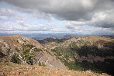
To celebrate our arrival on Wickiup, Hugh decided to pose on a crumbly outcrop of rock high above Yellowstone. I may or may not have told him a trail led there which of course he had to check out. I still think a miniature Hugh statue striking that pose would look good as a hood ornament on the Subaru. Any BCPers have a 3D printer?
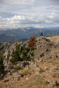
After our rest on Wickiup we hopped back on the trail leading to our campsite for the night. On the way down I caught this fine image of Bob gazing over his domain.
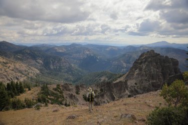
As we hiked down we caught a good view of the slope on that hill we climbed to reach Bighorn Peak. That hill is steep!
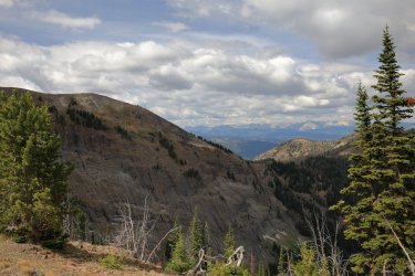
I couldn't help but think that if @TheMountainRabbit was with us he'd want to scramble across that knife edge ridge line. Hugh said we should tell him there is a geological marker up there somewhere and his challenge is to go find it.
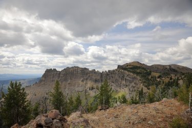
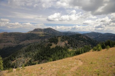
The rest of the hike to our campsite was tame and yes, one could say it was Smooth Sailing the rest of the way. I believe that is Sheep Mountain in the distance.
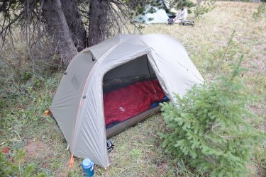
We found a nice spot to make camp outside the park boundary that was just a short walk away from an overlook of Shelf Lake. Hugh, Bob, and I took down and back trips to the lake to refill water bottles before making dinner/turning in for the night. I realize my tent is parked rather close to that small tree. . . the scent of fresh pine lulls me into a restful sleep.
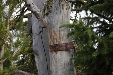
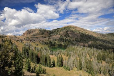
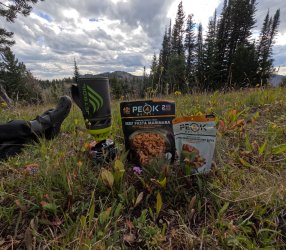
Dinner tonight was one of my favorites -- Peak Refuel Beef Pasta Marinara. I also busted out the Chocolonely Bar that I had been carrying around for several days. Every time I talked about eating it Hugh and Bob said I should wait for a more momentous occasion. I think if they had their way I would have hauled it the entire trip and opened it up back at the trailhead (or on the plane ride home).
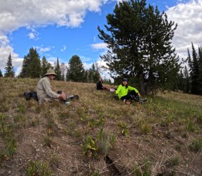
I climbed in the tent early and sort of peeked out my tent around sunset -- I was still trying to stay on Eastern time as I'd have to return to the regular office schedule in another day or three.
Day Five: Tuesday, August 12, 2025
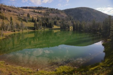
Passing a reflective Shelf Lake on the way out.
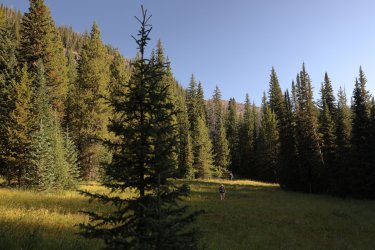
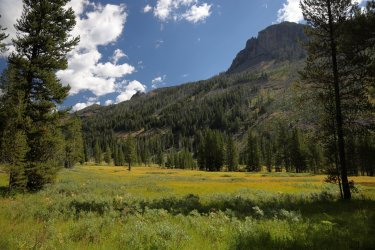
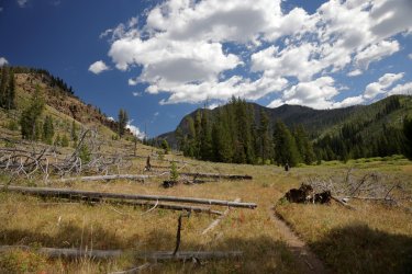
The initial descent from Shelf Lake mostly stayed in the forest. Now and again we would pop out into a meadow.
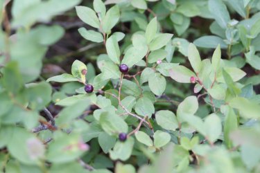
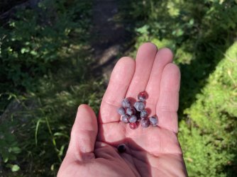
The highlight on the way down: Fresh Huckleberries trailside. The real challenge was beating Bob to the ripe ones.
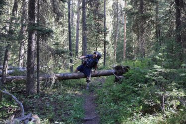
Look at this guy. As limber as a wet spaghetti noodle.
Bob mentioned something about the grass here being fluorescent, or maybe it was glowing. Either way it impressed him.
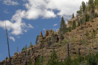
Neat little opening in the rocks above one of the burned areas. I bet there is some petrified wood up there on that hillside.
The valley is starting to open up, we must be getting close to the trailhead.
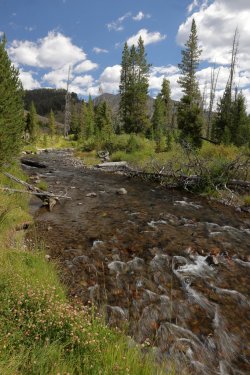
Specimen Creek looked refreshing after a couple of days high up on the dry, dusty ridge.
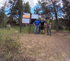
The group picture at the trailhead. I waited patiently by the sign for Hugh and Bob to arrive. They hiked right by me and took a direct line to the Subaru. By the time I caught up with them they were already half undressed and eager to get into their "goin' to town" attire. I had to lure them back for this picture.
From the trailhead we drove South to West Yellowstone. We stopped at the Forest Service Ranger Station to buy a map, only to be told that the person allowed to sell the maps was not in the office today.
We continued down to Hank's Chop Shop where Hugh planned to order the giant steak. Sadly, we rolled into town too early and found out his steak would not be offered until several hours later. A burger, truffle fries, and Cold Smokes on tap were our next choice, but I doubt anything could have tasted better in the moment.
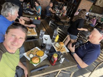
So there it is. A relaxed and leisurely stay in the backcountry that turned into a challenging but rewarding adventure. We had great weather, exceptional visibility, and as I always like to say great company. It really is a joy to be on the trail with Bob and Hugh -- anyone that ever has the chance to do so should take advantage of the opportunity. You might look at them and think they are potential grumpy curmudgeons. . . I suppose in some ways it could be true but they are my kind of grumpy curmudgeons and I always have a great time with them. Thanks again @Bob and @scatman for letting me tag along, you helped me check off a rather large box on my Yellowstone wish list.
At the end of Part One @Bob , @scatman , and I had camped for the night at Ramshorn Lake in the Gallatin National Forest. This report starts up the next morning.
Day Three: August 10, 2025.
Luckily the morning of Day Three presented with favorable weather and no one had packed up/bailed out in the middle of the night. With morale being high we had our breakfasts, packed up camp, and began our ascent towards the ridge line. The challenge for the next day or two would be water -- there is no reliable water source once the snow melts on the Sky Rim Trail. Did we load up extra bottles at the lake? Did we sip and ration what we were able to carry? Did we become delusional and see mirages on the horizon? No, No, and maybe (but not from a lack of water). We had a secret weapon, an ace in the hole so to speak. His identity will be revealed shortly.
As we walked thru the trees towards the upper elevations I could not help but remember the reassuring words one of the locals left with us the night before. Once we made it to the ridge line it would be "Smooth Sailing," so that became the theme for the rest of the hike.
I think this was the last reliable water source before climbing up to Sky Rim. I filled my 1.5 liter bottle here just in case.
Going Up!
The Forest Service had a number of newer looking signs placed above Ramshorn Lake. The Gallatin Crest has morphed into the Tom Minder Divide Trail it seems.
Familiar views began to appear to the West.
This part of the trail would not have been fun in the rain/wet. The tracks of a large grizzly bear could be seen sliding down the slope as we made our ascent.

I think I saw Bob take more pictures on this trip vs. past trips I've been on with him. Maybe Hugh and I are rubbing off on him, or maybe I just never paid attention to Bob's picture taking frequency before.

Time to reveal our secrets -- our hidden advantage was Bob. He had hiked up to a strategic spot earlier in the week and stashed each of us two 2L bottles of water to keep us hydrated for the next two days. Hugh and I were grateful. I had mental images of Bob and Mrs. Bob chugging down soda from those bottles just so he had something to put the water in.

We had an early start from last night's campsite and Hugh did not have a chance to get his morning stretching/yoga session in. I believe he was trying to incorporate his routine while on the trail. It is also possible he was chasing off a mosquito. Hi-Yah!

Hugh was the first to reach the Yellowstone Boundary. The marker is just above him in this picture. Those are not flowers you see along the trail, those are autumn colors starting to sneak in.
Officially in Yellowstone National Park and walking on the Sky Rim Trail.
What do we have here? A view of the Tetons from the Northern Boundary of Yellowstone? Fabulous!
Hugh and Bob, leading the way. Skies were still overcast but the clouds were beginning break with patches of blue popping thru to the West.
A look down into Yellowstone. We were still somewhere above the Daley Creek Drainage.
The first of several petrified logs I noticed along the trail. At least that is what I thought it was from a distance.
Looking back to the West, the trail visible on the ridgeline.

This would be our first big hill climb of the day on Sky Rim. This was also one of the first times we encountered switchbacks on such a hill. If this had been the Gallatin Crest/on Forest Service Land (which it still could have technically been) the trail would have gone straight up the hill. As expected @scatman took the lead yet again.

Looking into Yellowstone/to the South.
Looking North to Paradise Valley.
This is the spot where I took one of the best group photographs of my backpacking career. Hugh, myself, and @Bob are in this one.

Bob had drifted off into one of his power naps, so I did not have the heart to wake him for a group photo. I did take advantage of the situation for this striking image. It kind of has "The Art of Seduction" vibe to it, doesn't it?
We were kind enough to make sure Bob was awake before moving on down the trail. He mentioned some of his companions moved on and left him sleeping on a past trip. Hugh and I may be guilty of some shenanigans, but we did not want an eagle to fly down and peck out Bob's eyeballs. You are safe with us Bob.

If you hike with me for any distance in these (and similar geologically speaking) parts, you will know that I get excited when it comes to petrified wood sightings. I noticed this large trunk/stump/piece on a ridge above the trail and had to check it out. I bet it was four to five feet in diameter. I was tempted, but I did not try to squeeze it into my pack.

We had another big hill to climb on this day, and the path ahead more or less zig zagged in front of us. We followed the ridges to the left that led to the top of the hill. Guess who led the way?


A wide angle view from the top of the second big hill. Ramshorn Peak and Paradise Valley are visible. . . maybe even Windy Pass too if you squint/use your imagination.

We took a short rest on top of Big Hill #2 but did not dilly dally as our campsite for the night was up ahead near those trees in the distance.


Once settled in we checked out our surroundings. Tomorrow's route looked straight forward (with ups/downs of course) leading to Bighorn Peak at the left.

It seemed only appropriate to have another Bighorn meal. . . being nearly in the shadow of Bighorn Peak and all.


Hugh turned in early, but Bob and I braved the dropping temperatures to check out the sunset. I think it was worth staying up a little later. Normally I would have attempted to take pictures of the night sky, but the bright moonlight washed out the stars. I took some time lapse video with the GoPro that I'll post when I have time for editing.

The goal of day four was to hike less than five miles to our next campsite outside the park overlooking Shelf Lake. We still had plenty of water with us and would easily make it to the lake for a refill without running out. Bob told us there would be two hills today -- one small one and one big one. Hugh and I knew that if we could make it up the big one the rest of the day would be Smooth Sailing. I'll tell you that I made it up the big hill, but found the waters to be a little choppy shortly after.
Sunrise the morning of Day Four. I liked how the sun rays beamed down into Paradise Valley.
Lighting up the landscape to the South/West. The moon was neat to see in the morning sky.

Bob had taken off ahead of Hugh and I. We thought this might have been the small hill he was talking about. Visibility was still our friend this morning and Ramshorn Peak stood tall behind yesterday's big hill #2.

Looking forward we could see what must have been the big hill ahead of us. Normally we could visualize the trail weaving its way up the hill. I thought it strange that this time we could not. . . but the trail had to be there, right?

Getting closer. . . I can follow the trail leading up to the hill, but no trail on the hill.

As we approached the base of the hill we followed a few trail markers into the trees that led upwards. It was not long after that the trail markers, and the trail, disappeared. The path forward was more or less a "find your own way to the top" type of approach.

Shortly after taking the next picture I tucked all the photography equipment away and took a straight line towards the top, National Forest Style. The trail on my GPS showed switchbacks working their way upwards. My actual path/track was a straight line cutting across those GPS dotted lines of the "official trail." This hill was steep; I bet the angle was 45 degrees or more in places. If you slipped/started to roll downhill there was not much that was going to stop you.


I was happy and proud to have accomplished the big hill climb for the day. My stomach grew a couple butterflies though when we walked a little farther and I saw the stretch of trail between Bighorn and Wickiup Peaks. Did I mention somewhere that I do not like heights?

As you already know, I made it across this part of the trail. I only managed it because I did not look at anything besides my feet the entire time I was walking on the trail. I did not take any pictures, but I did turn on the GoPro at the start and this video takes you along with me. I realize that many people can hike this sort of exposure easily and to them it is just another walk in the park. You'll notice Hugh swiveling in all different directions/taking pictures in front of me, he is one of those people.
The video starts a little slow, but fast forward to the middle/end for some better stuff.

The views continued to be superb. In this next picture you can see Big Hill #2 we climbed the day before and the general location of our campsite in the saddle just to the left of that big hill. This morning we climbed the little hill in the middle, then dropped down only to climb the next big hill on the right. More or less our last 20ish hours (estimate) in one image.

To celebrate our arrival on Wickiup, Hugh decided to pose on a crumbly outcrop of rock high above Yellowstone. I may or may not have told him a trail led there which of course he had to check out. I still think a miniature Hugh statue striking that pose would look good as a hood ornament on the Subaru. Any BCPers have a 3D printer?

After our rest on Wickiup we hopped back on the trail leading to our campsite for the night. On the way down I caught this fine image of Bob gazing over his domain.


I couldn't help but think that if @TheMountainRabbit was with us he'd want to scramble across that knife edge ridge line. Hugh said we should tell him there is a geological marker up there somewhere and his challenge is to go find it.

The rest of the hike to our campsite was tame and yes, one could say it was Smooth Sailing the rest of the way. I believe that is Sheep Mountain in the distance.

We found a nice spot to make camp outside the park boundary that was just a short walk away from an overlook of Shelf Lake. Hugh, Bob, and I took down and back trips to the lake to refill water bottles before making dinner/turning in for the night. I realize my tent is parked rather close to that small tree. . . the scent of fresh pine lulls me into a restful sleep.


Dinner tonight was one of my favorites -- Peak Refuel Beef Pasta Marinara. I also busted out the Chocolonely Bar that I had been carrying around for several days. Every time I talked about eating it Hugh and Bob said I should wait for a more momentous occasion. I think if they had their way I would have hauled it the entire trip and opened it up back at the trailhead (or on the plane ride home).


I climbed in the tent early and sort of peeked out my tent around sunset -- I was still trying to stay on Eastern time as I'd have to return to the regular office schedule in another day or three.
Day Five: Tuesday, August 12, 2025
Today the three of us would be hiking out to the trailhead on Yellowstone's Specimen Creek Trail, hopefully finding the rental car where I had left it several days ago. The Specimen Creek Trail is scenic and special. It had the misfortune though of following the terrain of the Gallatin Crest and Sky Rim trails so it was probably not admired as much as it should have been. The fact that a hot meal that did not come out of a bag could be waiting for us in just a couple hours might have been another reason why we booked it down trail.
Sunrise the morning of Day Five.
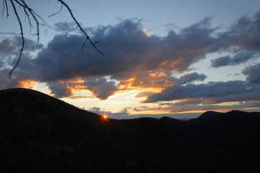
The view from the camp kitchen.Sunrise the morning of Day Five.

Passing a reflective Shelf Lake on the way out.
The initial descent from Shelf Lake mostly stayed in the forest. Now and again we would pop out into a meadow.
The highlight on the way down: Fresh Huckleberries trailside. The real challenge was beating Bob to the ripe ones.
Look at this guy. As limber as a wet spaghetti noodle.
Bob mentioned something about the grass here being fluorescent, or maybe it was glowing. Either way it impressed him.
Neat little opening in the rocks above one of the burned areas. I bet there is some petrified wood up there on that hillside.
The valley is starting to open up, we must be getting close to the trailhead.
Specimen Creek looked refreshing after a couple of days high up on the dry, dusty ridge.

The group picture at the trailhead. I waited patiently by the sign for Hugh and Bob to arrive. They hiked right by me and took a direct line to the Subaru. By the time I caught up with them they were already half undressed and eager to get into their "goin' to town" attire. I had to lure them back for this picture.

From the trailhead we drove South to West Yellowstone. We stopped at the Forest Service Ranger Station to buy a map, only to be told that the person allowed to sell the maps was not in the office today.
We continued down to Hank's Chop Shop where Hugh planned to order the giant steak. Sadly, we rolled into town too early and found out his steak would not be offered until several hours later. A burger, truffle fries, and Cold Smokes on tap were our next choice, but I doubt anything could have tasted better in the moment.

Last edited:

