Udink
Still right here.
- Joined
- Jan 17, 2012
- Messages
- 1,748
I haven't even gotten this trip report up on my website yet, but this seems like a good place to post it first. ")
Over the Martin Luther King, Jr. holiday weekend I hiked and camped along the San Rafael Reef near the Temple Mountain/Goblin Valley junction. On Sunday I hiked up Farnsworth Canyon and back, then camped just off the dirt road that runs along the outside of the Reef. On Monday I hiked straight from camp up the San Rafael Reef to the high point between North Temple Wash and Farnsworth Canyon. My total hiking distance was about 12 miles, and I saw some great stuff.
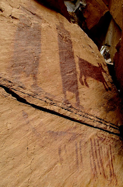
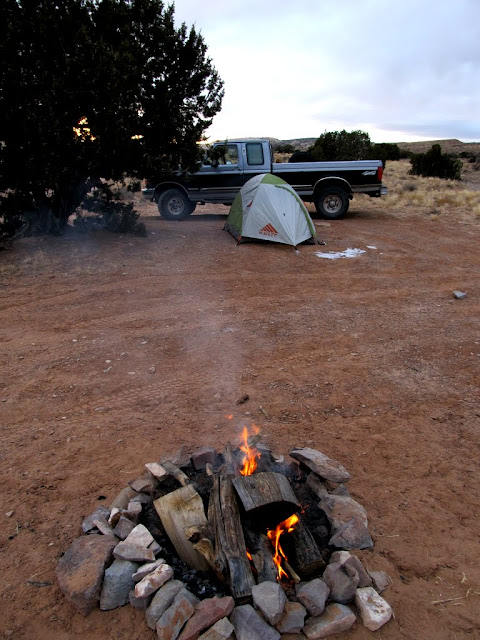
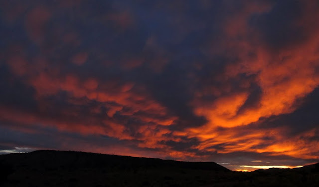
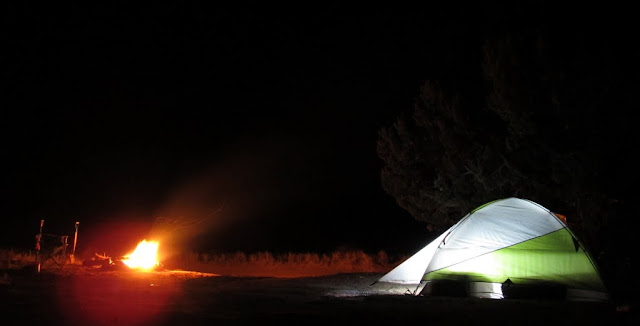
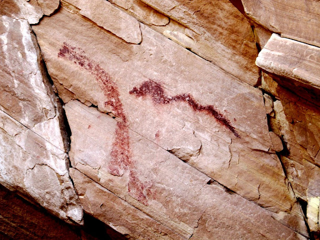
It was overcast all day Sunday, but temperatures in the afternoon were perfect for hiking. I parked at the southeast end of Farnsworth Canyon and started the hike at about 1:00PM. All I knew about the canyon is that there were some pictographs somewhere and that, judging by some photos I'd seen, there might be some scrambling involved. It turned out that the entire canyon was an easy stroll with only one small ledge to scramble up. I'd only seen closeup photos of the rock art, but they were enough to help me find it. I hiked as far as the second drill hole in the canyon, just below the small fork in the canyon that contains three natural arches which I'd hiked up to in October 2010. It had taken me about two hours to hike through the canyon (and a good chunk of that was spent admiring the rock art), and it only took about an hour to return through the canyon to the truck. I drove more than a mile southwest on the dirt road and set up camp at an existing primitive site right on the side of the road. It was cold and breezy, but I kept the fire going to stay warm until bedtime. It got very windy a couple of hours after I hit the sack, and the predicted low temperatures were supposed to be in the high teens, but I kept warm with two sleeping bags.
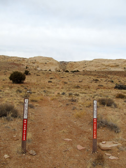
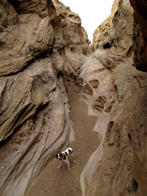
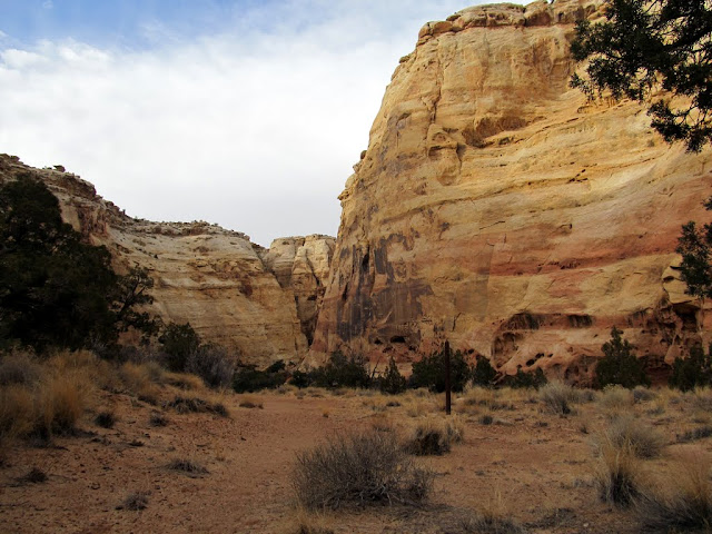
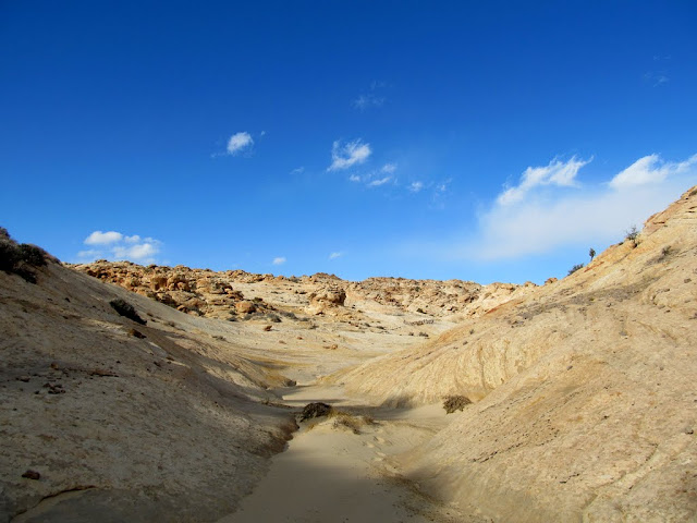
Start of the Farnsworth Canyon hike
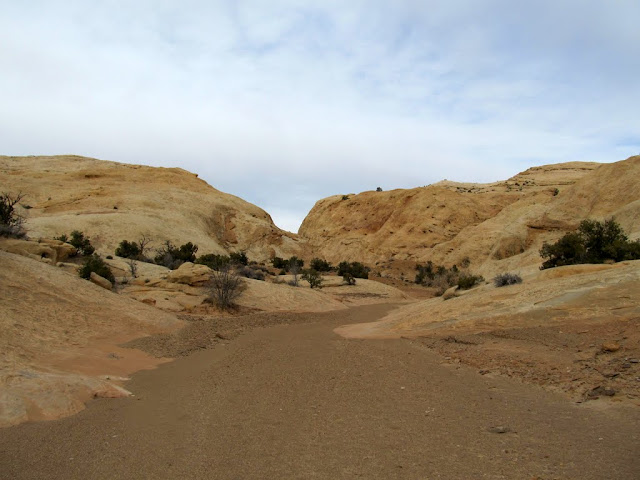
Farnsworth Canyon
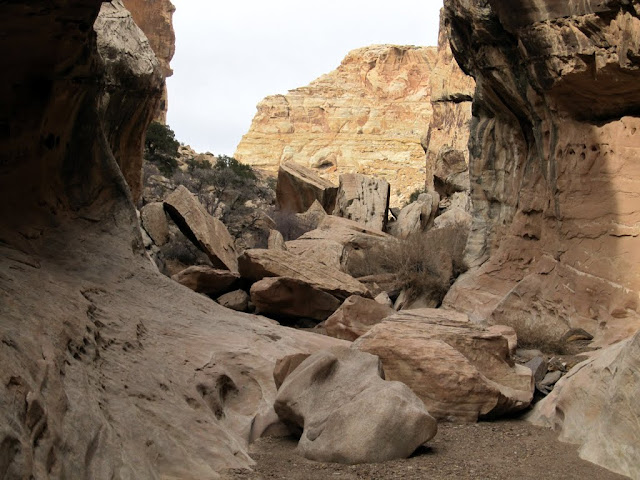
A jumble of boulders before the canyon opens up
Wide area in the canyon after the narrows--one other person had been here in the last month
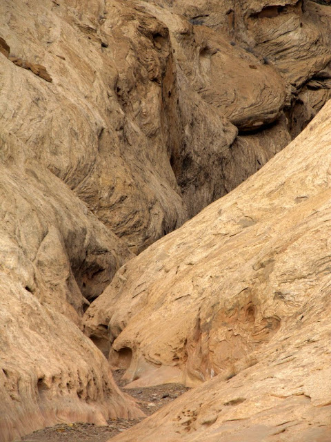
Here the canyon closes in a bit after the wide area
The first drill hole
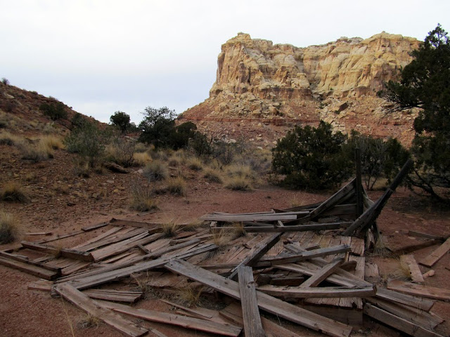
Old shack
Second drill hole
Pictographs
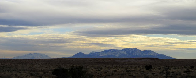
Henry Mountains seen during the drive to camp
Gettin' the fire going
Killer clouds after sunset
Campfire and tent
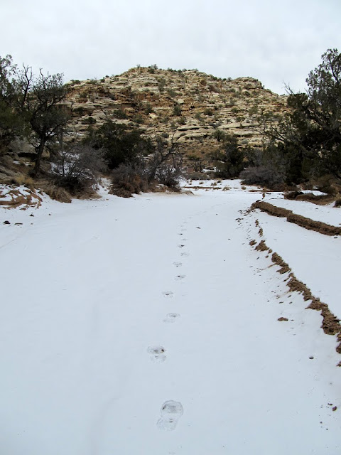
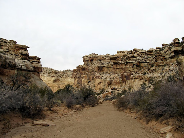
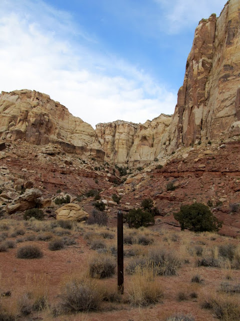
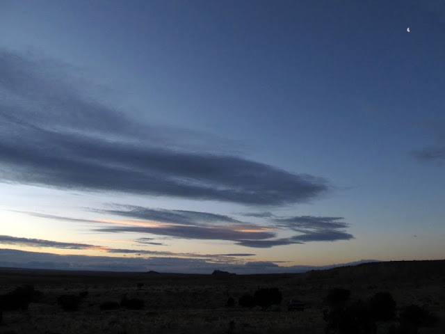
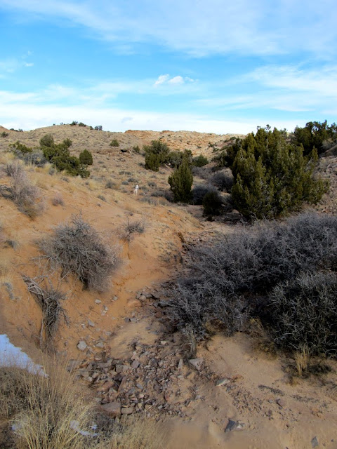
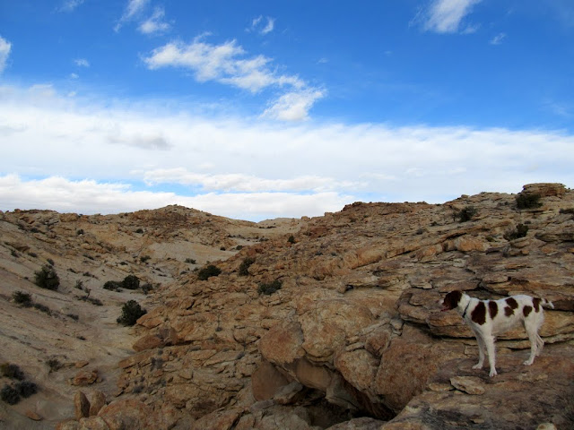
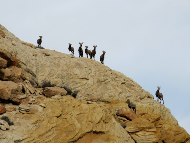
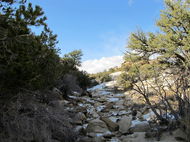
During the night some condensation had frozen my sleeping pad to both the tent and sleeping bag, so while I made breakfast and coffee I tried letting everything thaw and air out as the sun rose and finally broke through the clouds. After packing all my camping gear into the truck, I set off straight from camp up a small break in the San Rafael Reef. My original route called for starting the hike in the next small canyon to the northeast, so as I climbed up the Reef I eventually had to cross over a ridge into the next canyon over. After getting into the correct drainage, a small herd of bighorn sheep surprised me as they came running up the rim of the canyon. Once they saw me they paused for a while to check me out, and I returned their stares for a bit before moving on. The canyon had a lot of potholes, some in flat sections that could easily be walked around, and some that required scrambling through or around. One series of deep potholes couldn't be climbed, so I scramble out of the canyon to detour around them. As I got to the upper reaches of the drainage, I turned slightly north and crossed a few smaller drainages before entering another small canyon that follows a faultline.
View from camp just before sunrise
Entering the canyon just a few hundred feet from camp
Climbing over a ridge into an adjacent canyon
Dropping into the next canyon
Bighorn sheep
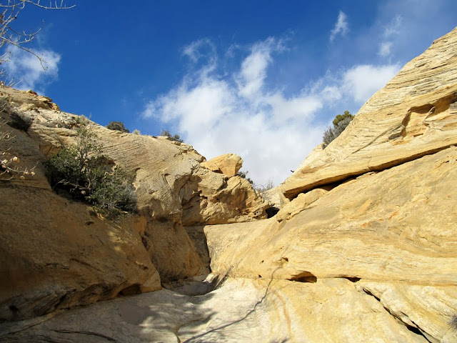
In the canyon
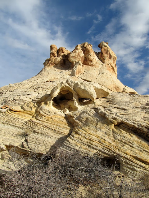
Navajo Sandstone formations
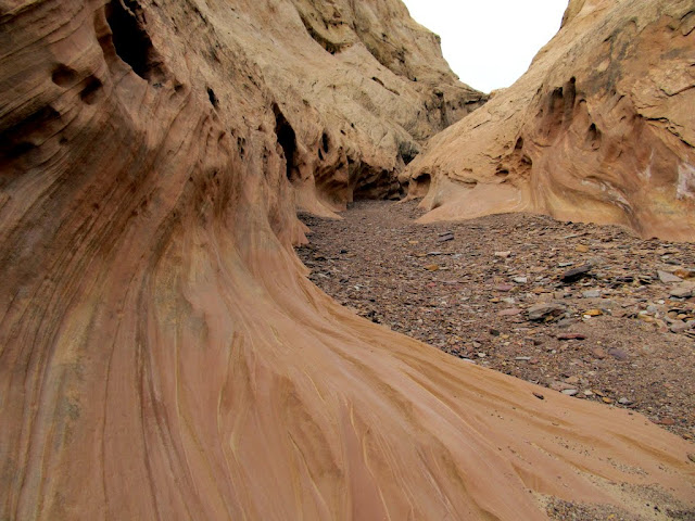
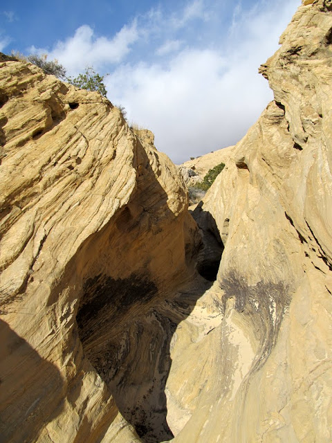
Slotty section
The start of a series of potholes I had to detour around
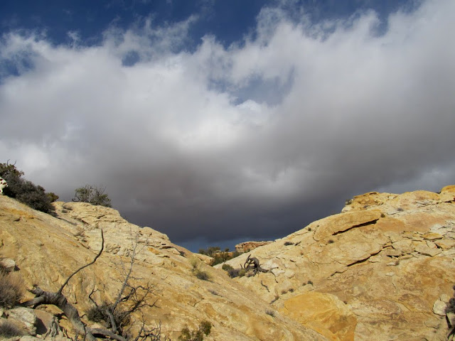
Dark clouds moving in--it got overcast and windy after this
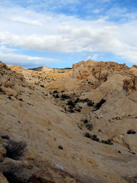
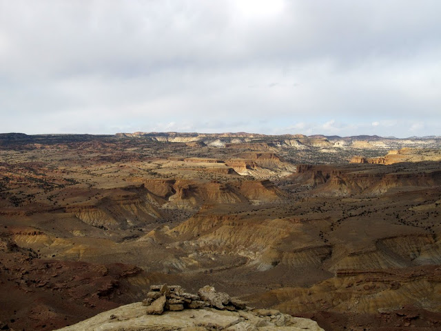
The faultline canyon was shallow but rocky and covered in snow--neither photogenic nor fun to hike in. After only a third of a mile in that canyon, I climbed out and started hiking up a steeper ridge that eventually led to the high point of this section of the San Rafael Reef. It was steep at first, then it just had a few ups-and-downs before reaching the high point. Along the way I saw a couple of cairns, which seemed odd given that if anyone had navigated that far, finding the high point would be a piece of cake--I guess I just don't understand why people build cairns. The high point was on a little knoll with an easy scramble to the top. I was half-expecting to find a summit register there (after having found one at the Ernie benchmark a few weeks earlier), but the top of the knoll was bare. There was another shorter knoll just north of the high point that had a pile of rocks on top, and though I wanted to scramble up it to check for a summit register, it looked a little dicey and I decided against climbing it.
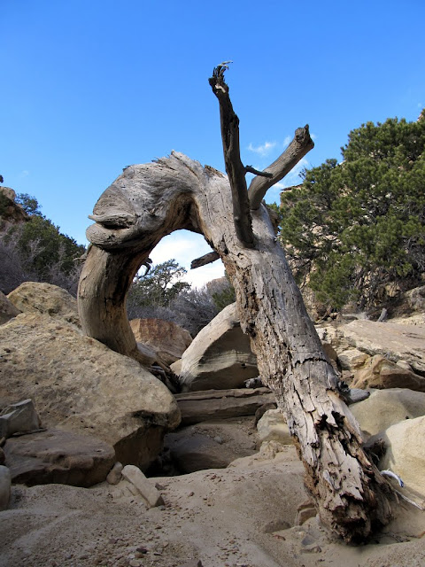
Twisted tree trunk
Faultline canyon
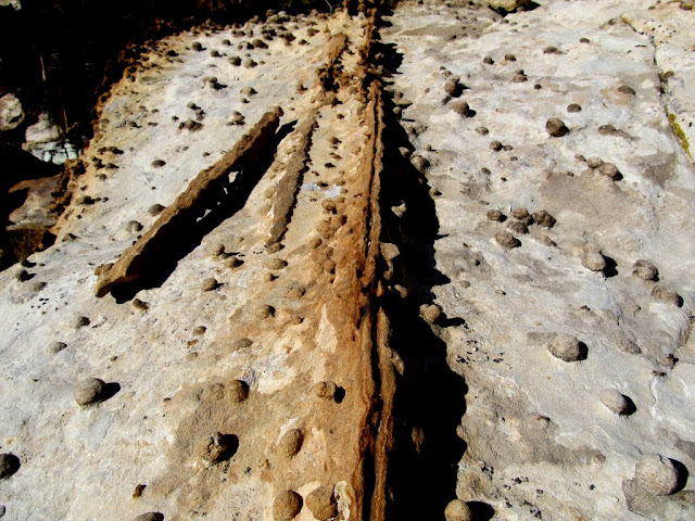
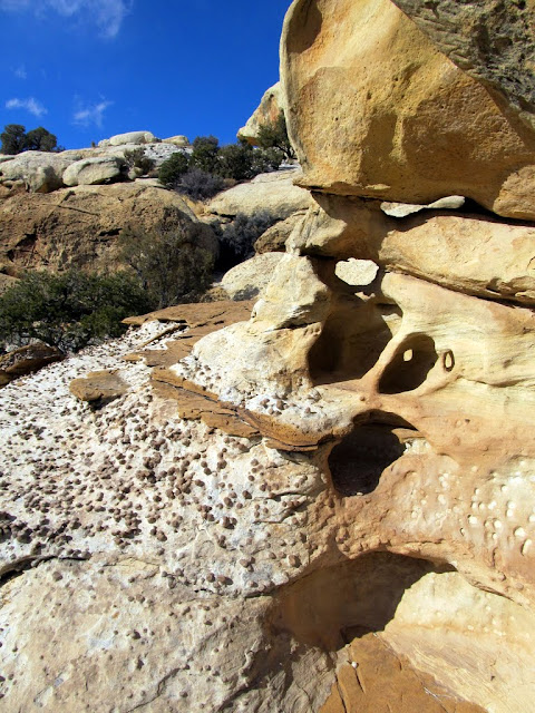
Concretions in the sandstone
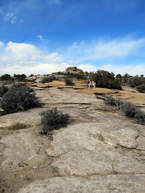
Out of the canyons and starting to scramble up to the high point
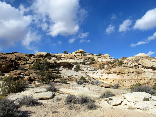
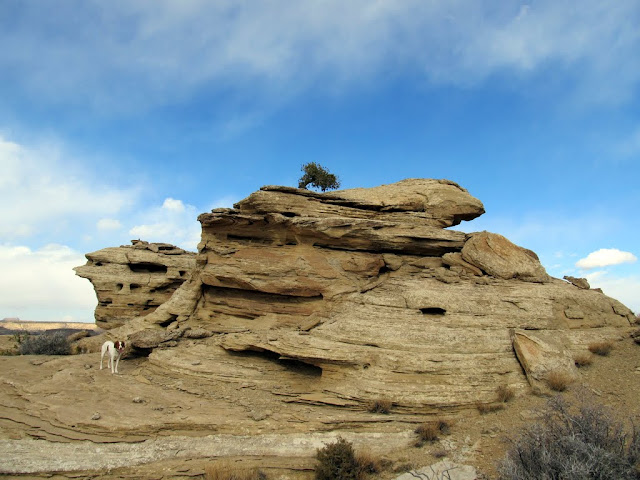
All kinds of interesting textures and shapes in this rock
Molly's Castle far off in the distance
Approaching the high point
The high point (just right of the tree)
View north from the high point
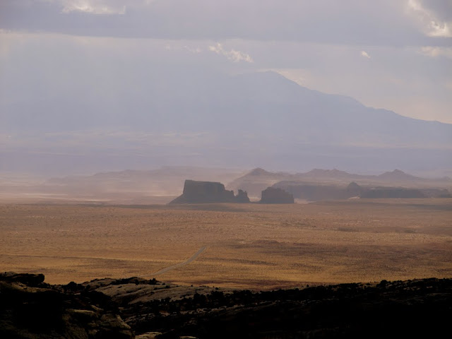
Temple Mountain viewed from the high point
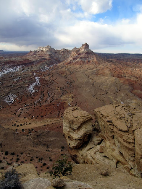
View northeast along the San Rafael Reef
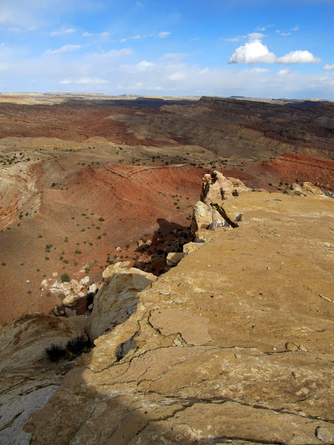
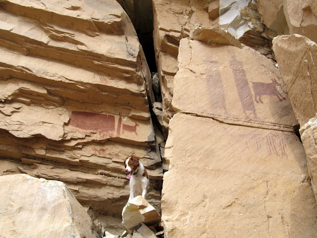
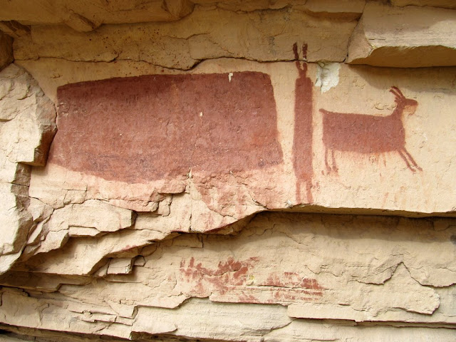
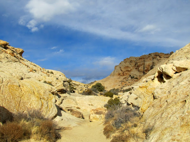
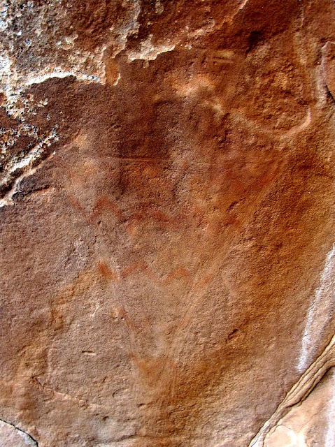
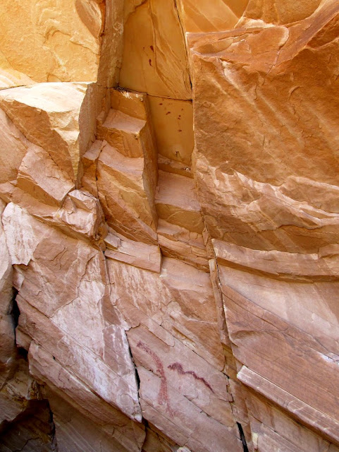
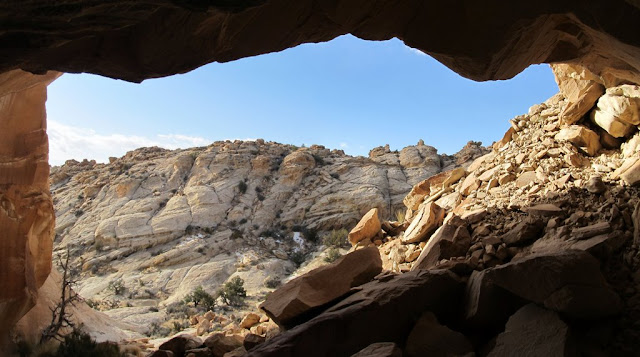
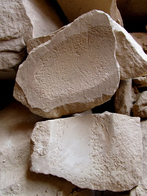
I followed pretty much the same route down the Reef, and it went much more quickly since I'd done all my exploring on the way up. Somewhere along the way I spotted a shallow cave that looked interesting, and as I approached it I saw some pictographs inside. However, as I approached I could smell the strong odor of a skunk. Crap! I really wanted to check out the alcove, but I was very wary about running into its occupant. I slowly creeped my way into the alcove, stopping often to listen and look for the skunk. Luckily I never did see it, but I also didn't spend as much time in there as I'd have liked. The pictographs were very interesting. One figure was abstract and unrecognizable, but the other was snake-like with small fins or spikes protruding from its back, almost like a dragon. High above the pictographs were some fingerprints on an overhang that must have required a ladder to reach. There was another very faint figure scratched into a boulder with some painted squiggly lines across the body. After standing there a while just looking around, I realized I was standing right next to two metates that had been stacked on on top of the other. I laid them side-by-side to take a photo, but otherwise left them alone. There were also a few chert flakes in the alcove, but I found no other artifacts. This place alone made the entire trip worthwhile. I continued the hike out of the Reef, this time following the main canyon out to the road and then walking along the road back to the truck.
Faint figure scratched into a boulder
Pictographs
Pictographs and fingerprints high above
View out of the alcove
Metates
View up my exit canyon as I hiked out of the Reef
Here's a link to the full photo gallery:
https://picasaweb.google.com/Dennis.Udink/FarnsworthCanyonAndTopOfTheReef
Google Map of my route, plus photo waypoints:
http://g.co/maps/nqvzr
Google Earth .KMZ file:
http://udink.org/geo/FarnsworthCanyonAndTopOfTheReef.kmz
Over the Martin Luther King, Jr. holiday weekend I hiked and camped along the San Rafael Reef near the Temple Mountain/Goblin Valley junction. On Sunday I hiked up Farnsworth Canyon and back, then camped just off the dirt road that runs along the outside of the Reef. On Monday I hiked straight from camp up the San Rafael Reef to the high point between North Temple Wash and Farnsworth Canyon. My total hiking distance was about 12 miles, and I saw some great stuff.
It was overcast all day Sunday, but temperatures in the afternoon were perfect for hiking. I parked at the southeast end of Farnsworth Canyon and started the hike at about 1:00PM. All I knew about the canyon is that there were some pictographs somewhere and that, judging by some photos I'd seen, there might be some scrambling involved. It turned out that the entire canyon was an easy stroll with only one small ledge to scramble up. I'd only seen closeup photos of the rock art, but they were enough to help me find it. I hiked as far as the second drill hole in the canyon, just below the small fork in the canyon that contains three natural arches which I'd hiked up to in October 2010. It had taken me about two hours to hike through the canyon (and a good chunk of that was spent admiring the rock art), and it only took about an hour to return through the canyon to the truck. I drove more than a mile southwest on the dirt road and set up camp at an existing primitive site right on the side of the road. It was cold and breezy, but I kept the fire going to stay warm until bedtime. It got very windy a couple of hours after I hit the sack, and the predicted low temperatures were supposed to be in the high teens, but I kept warm with two sleeping bags.
Start of the Farnsworth Canyon hike
Farnsworth Canyon
A jumble of boulders before the canyon opens up
Wide area in the canyon after the narrows--one other person had been here in the last month
Here the canyon closes in a bit after the wide area
The first drill hole
Old shack
Second drill hole
Pictographs
Henry Mountains seen during the drive to camp
Gettin' the fire going
Killer clouds after sunset
Campfire and tent
During the night some condensation had frozen my sleeping pad to both the tent and sleeping bag, so while I made breakfast and coffee I tried letting everything thaw and air out as the sun rose and finally broke through the clouds. After packing all my camping gear into the truck, I set off straight from camp up a small break in the San Rafael Reef. My original route called for starting the hike in the next small canyon to the northeast, so as I climbed up the Reef I eventually had to cross over a ridge into the next canyon over. After getting into the correct drainage, a small herd of bighorn sheep surprised me as they came running up the rim of the canyon. Once they saw me they paused for a while to check me out, and I returned their stares for a bit before moving on. The canyon had a lot of potholes, some in flat sections that could easily be walked around, and some that required scrambling through or around. One series of deep potholes couldn't be climbed, so I scramble out of the canyon to detour around them. As I got to the upper reaches of the drainage, I turned slightly north and crossed a few smaller drainages before entering another small canyon that follows a faultline.
View from camp just before sunrise
Entering the canyon just a few hundred feet from camp
Climbing over a ridge into an adjacent canyon
Dropping into the next canyon
Bighorn sheep
In the canyon
Navajo Sandstone formations
Slotty section
The start of a series of potholes I had to detour around
Dark clouds moving in--it got overcast and windy after this
The faultline canyon was shallow but rocky and covered in snow--neither photogenic nor fun to hike in. After only a third of a mile in that canyon, I climbed out and started hiking up a steeper ridge that eventually led to the high point of this section of the San Rafael Reef. It was steep at first, then it just had a few ups-and-downs before reaching the high point. Along the way I saw a couple of cairns, which seemed odd given that if anyone had navigated that far, finding the high point would be a piece of cake--I guess I just don't understand why people build cairns.
The high point was on a little knoll with an easy scramble to the top. I was half-expecting to find a summit register there (after having found one at the Ernie benchmark a few weeks earlier), but the top of the knoll was bare. There was another shorter knoll just north of the high point that had a pile of rocks on top, and though I wanted to scramble up it to check for a summit register, it looked a little dicey and I decided against climbing it.Twisted tree trunk
Faultline canyon
Concretions in the sandstone
Out of the canyons and starting to scramble up to the high point
All kinds of interesting textures and shapes in this rock
Molly's Castle far off in the distance
Approaching the high point
The high point (just right of the tree)
View north from the high point
Temple Mountain viewed from the high point
View northeast along the San Rafael Reef
I followed pretty much the same route down the Reef, and it went much more quickly since I'd done all my exploring on the way up. Somewhere along the way I spotted a shallow cave that looked interesting, and as I approached it I saw some pictographs inside. However, as I approached I could smell the strong odor of a skunk. Crap! I really wanted to check out the alcove, but I was very wary about running into its occupant. I slowly creeped my way into the alcove, stopping often to listen and look for the skunk. Luckily I never did see it, but I also didn't spend as much time in there as I'd have liked. The pictographs were very interesting. One figure was abstract and unrecognizable, but the other was snake-like with small fins or spikes protruding from its back, almost like a dragon. High above the pictographs were some fingerprints on an overhang that must have required a ladder to reach. There was another very faint figure scratched into a boulder with some painted squiggly lines across the body. After standing there a while just looking around, I realized I was standing right next to two metates that had been stacked on on top of the other. I laid them side-by-side to take a photo, but otherwise left them alone. There were also a few chert flakes in the alcove, but I found no other artifacts. This place alone made the entire trip worthwhile. I continued the hike out of the Reef, this time following the main canyon out to the road and then walking along the road back to the truck.
Faint figure scratched into a boulder
Pictographs
Pictographs and fingerprints high above
View out of the alcove
Metates
View up my exit canyon as I hiked out of the Reef
Here's a link to the full photo gallery:
https://picasaweb.google.com/Dennis.Udink/FarnsworthCanyonAndTopOfTheReef
Google Map of my route, plus photo waypoints:
http://g.co/maps/nqvzr
Google Earth .KMZ file:
http://udink.org/geo/FarnsworthCanyonAndTopOfTheReef.kmz