hatchcanyon
Member
- Joined
- May 29, 2013
- Messages
- 136
In 2009 we did it again! Exploring the Dome Plateau, looking for Wells viewpoint high above Professor Valley respectively Richardson Amphitheater.
Visiting the little old mining camp nearby Owl Draw earlier that day and the cliffline of Caves Spring - the caves too. Late in the afternoon we arrived at the fence line that divides Dome Plateau from South to North.
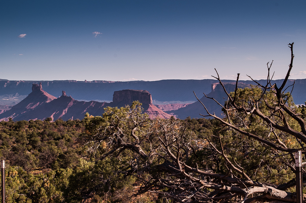
Castle Valley, Porcupine Rim and the fence
A trail follows the fence on the east side down the hill. This is the trail to a view point decribed by Wells. It is quite rocky, much rougher than the trail to the other view point farther west we found 7 years ago. Bumping down along the fence is one thing, coming up again something different. And you have to come up this trail again. (Ok, you may walk half a mile one way.)
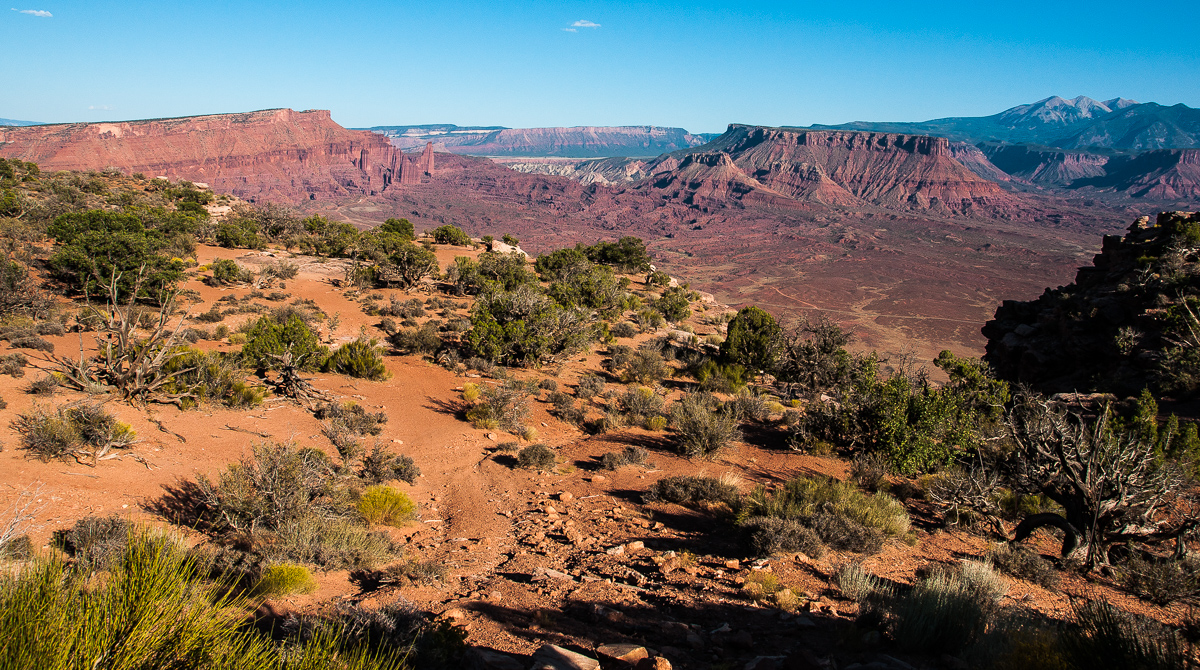
Approaching the rim
The place where we parked the car allowed a first glimpse. Power Pole Mesa, Fisher Towers, Onion Creek, Fisher Mesa. Polar Mesa and the LaSals too.
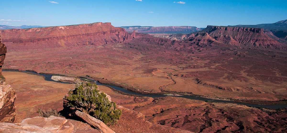
Panorama Point
(We know the real one too )
)
To the west one can see Professor Creek - or is it Mary Jane Creek? - Adobe Mesa and parts of Castle Valley.
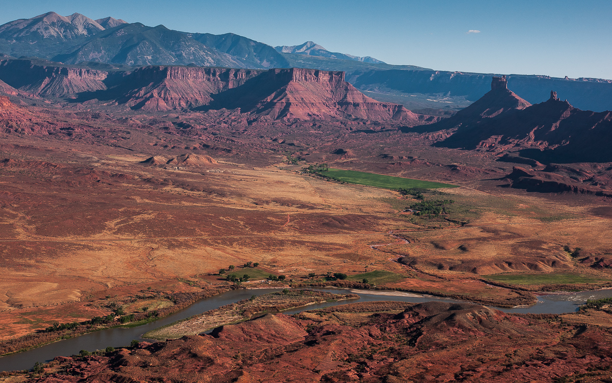
Professor Creek - Castle Valley
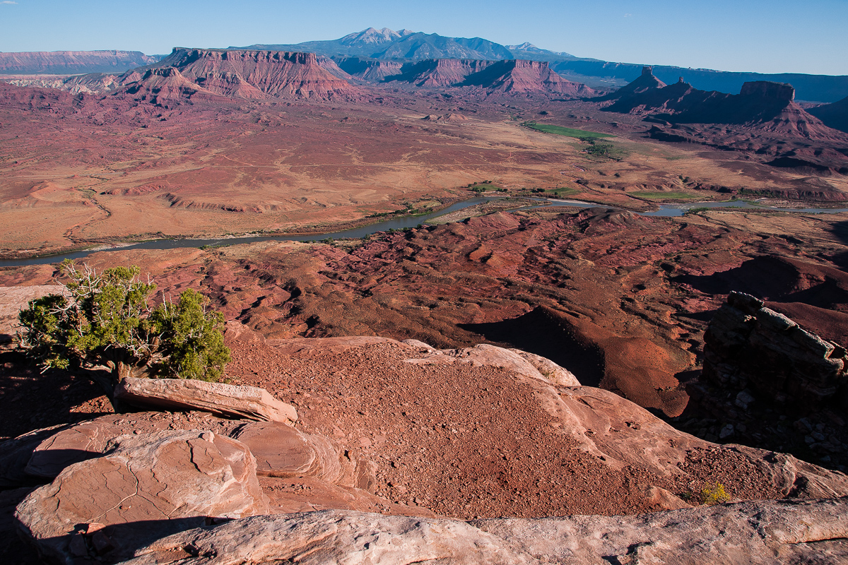
Another shot
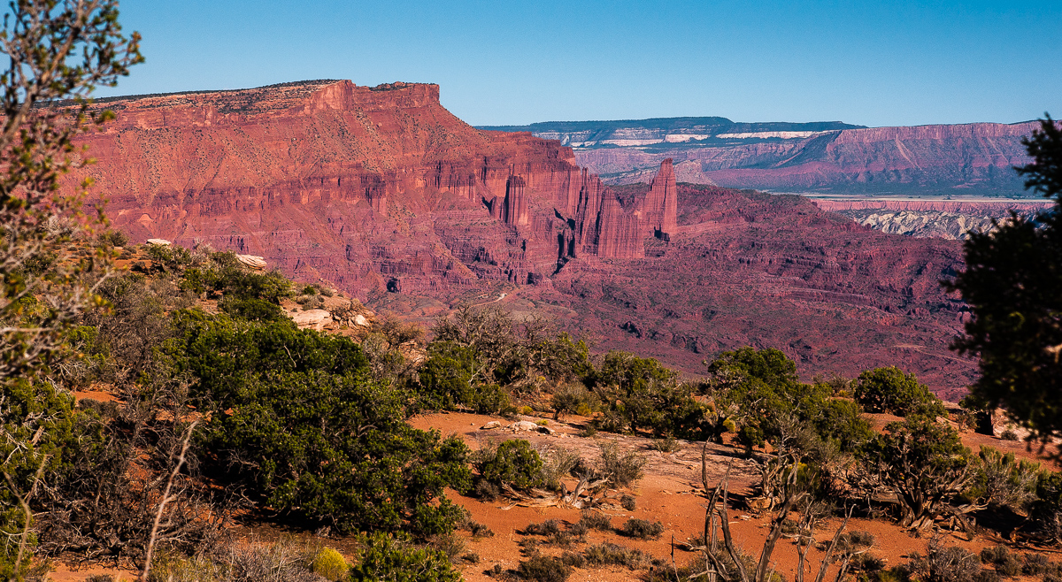
Fisher Towers
Going back and climbing up the trail along the fence is quite a bit tricky. High ledges at the time. It was a good idea that we did it with an H3.
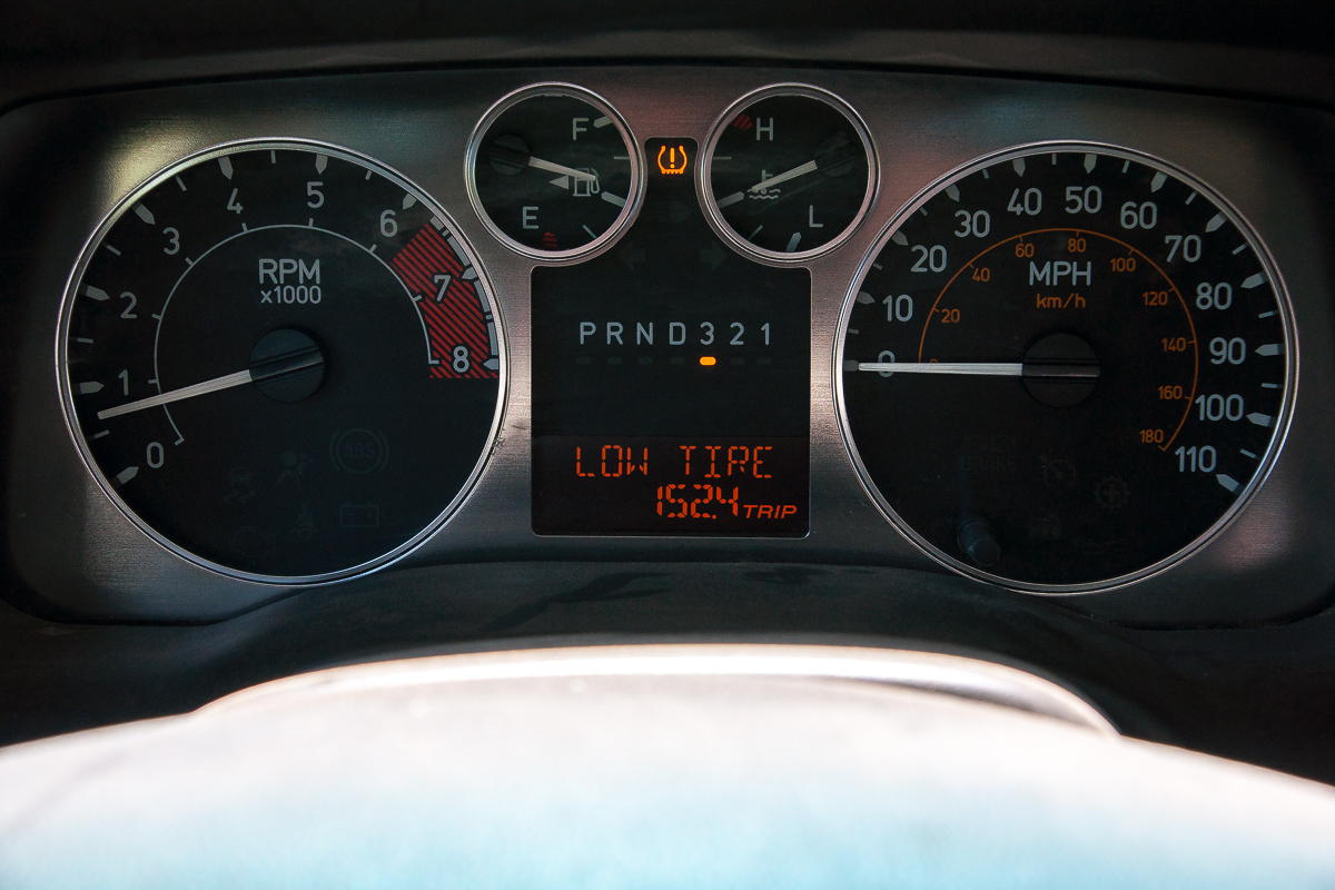
After the climb driving back to Poison Strip was easy until a good old friend showed up.....
Featured image for home page:
Visiting the little old mining camp nearby Owl Draw earlier that day and the cliffline of Caves Spring - the caves too. Late in the afternoon we arrived at the fence line that divides Dome Plateau from South to North.

Castle Valley, Porcupine Rim and the fence
A trail follows the fence on the east side down the hill. This is the trail to a view point decribed by Wells. It is quite rocky, much rougher than the trail to the other view point farther west we found 7 years ago. Bumping down along the fence is one thing, coming up again something different. And you have to come up this trail again. (Ok, you may walk half a mile one way.)

Approaching the rim
The place where we parked the car allowed a first glimpse. Power Pole Mesa, Fisher Towers, Onion Creek, Fisher Mesa. Polar Mesa and the LaSals too.

Panorama Point
(We know the real one too
 )
)To the west one can see Professor Creek - or is it Mary Jane Creek? - Adobe Mesa and parts of Castle Valley.

Professor Creek - Castle Valley

Another shot

Fisher Towers
Going back and climbing up the trail along the fence is quite a bit tricky. High ledges at the time. It was a good idea that we did it with an H3.
After the climb driving back to Poison Strip was easy until a good old friend showed up.....

Featured image for home page:

