Udink
Still right here.
- Joined
- Jan 17, 2012
- Messages
- 1,748
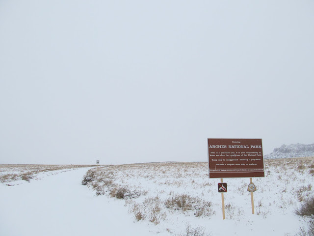
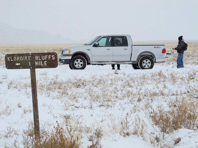
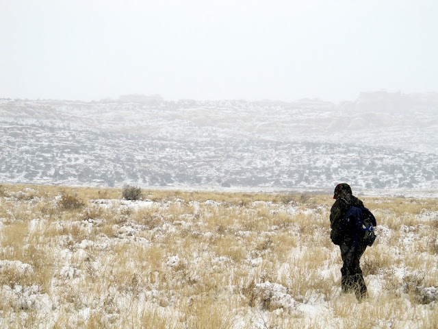
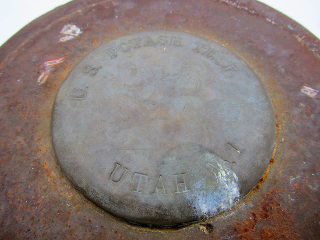
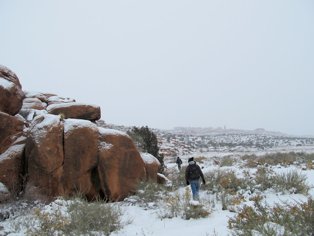
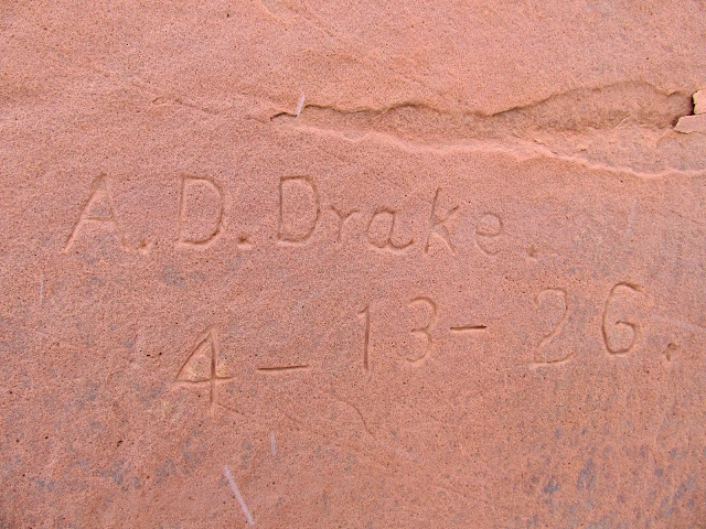
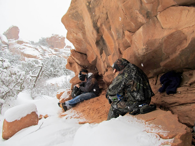
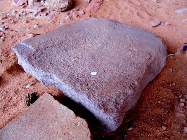
A last-minute trip came together for Saturday, with Wade, Alan, and me heading into Devil's Garden in Arches National Park to look for some scratches in the sandstone. Alan and I met Wade in Green River where it was snowing and the temperature was in the mid-teens. We hopped into Wade's truck and drove the remaining distance into Arches, along the way deciding to try the back entrance to the park along the Salt Valley Road. We made our way easily to our planned parking spot at the Klondike Bluffs turnoff. The first mile of hiking took us across the flat bottom of Salt Valley to the base of some low cliffs that parallel Devil's Garden's southwest side. While walking along the bottom of the cliffs looking for a route to the top, we found a drill hole dating to 1931 and a 1926 inscription by A.D. Drake.
Entering Arches National Park on the Salt Valley Road
Our parking spot
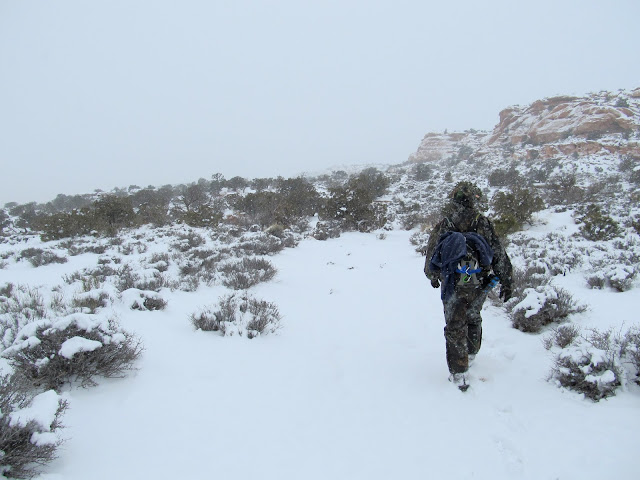
Alan hiking in Salt Valley
Wade at an old drill hole
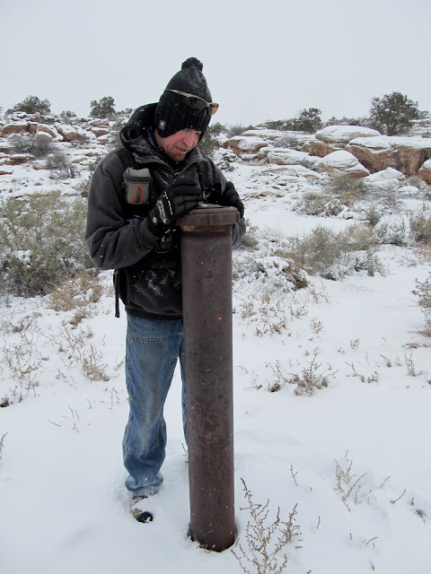
U.S. Potash Test, Utah No. 1
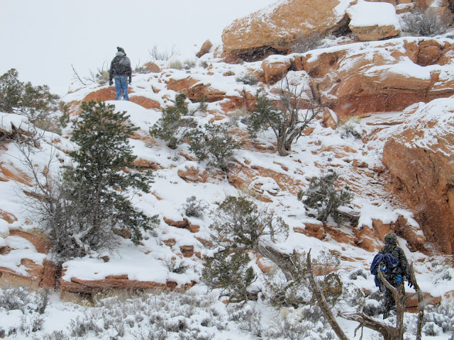
Walking along some low cliffs, looking for a route to the top
A.D. Drake, 4-13-26
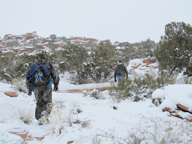
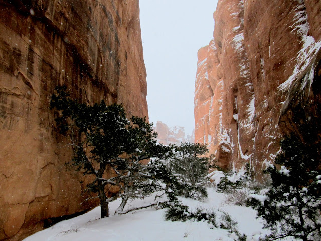
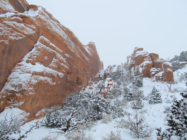
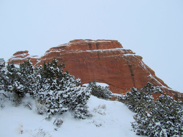
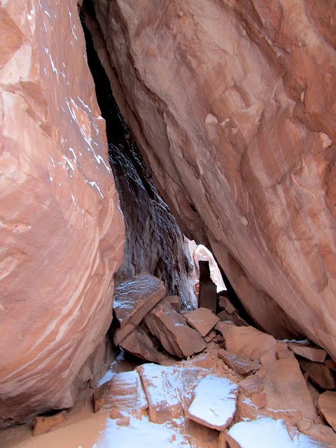
Atop the lower level of cliffs we found an old, long unused road that we followed a short distance until we found and climbed up a break in the upper cliffs. It was a relatively flat walk through the snow the remaining distance to the fins delineating the southwestern extent of Devil's Garden.
Wending our way up the cliffs
Old road between cliff bands
Climbing up the final cliff band
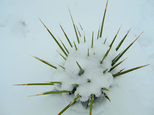
Snow-covered yucca
Entering the Devil's Garden
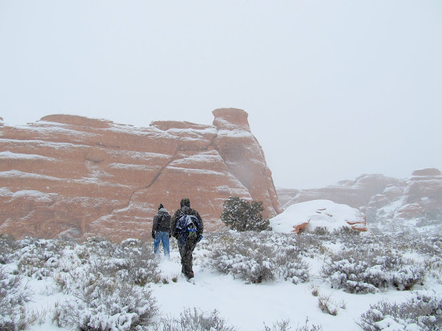
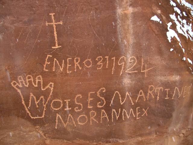
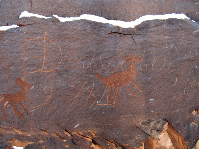
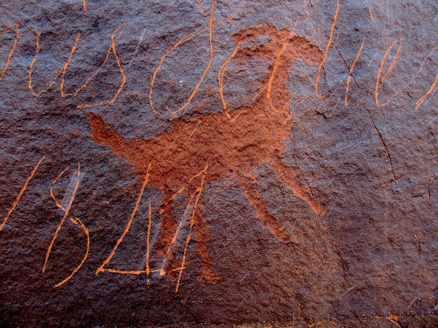
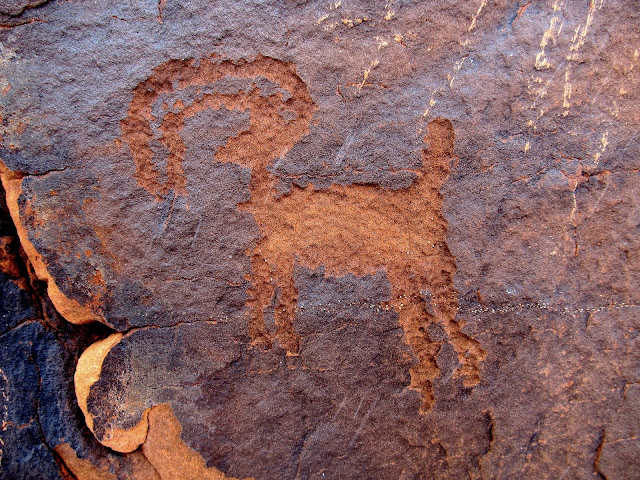
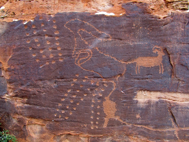
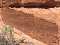
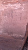
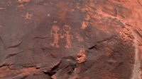
We quickly found what we came for: a Denis Julien inscription from June 9, 1844. We located it based upon an "X" drawn on an old topo map that a friend of Wade's had sent to him. The Julien inscription was carved directly over some petroglyphs, and nearby were other inscriptions dating to the first half of the 1900s. Just around the sandstone fin from the inscriptions was a small but interesting petroglyph panel.
Moises Martinez, Mora, New Mexico, January 31, 1924
Our goal for the day: Denis Julien, June 9, 1844
Petroglyph under Julien's name
Backward bighorn
Petroglyphs
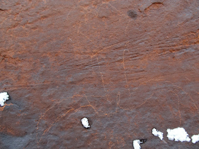
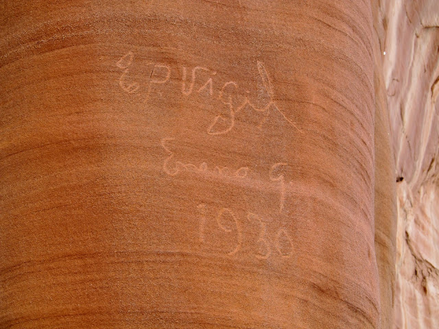
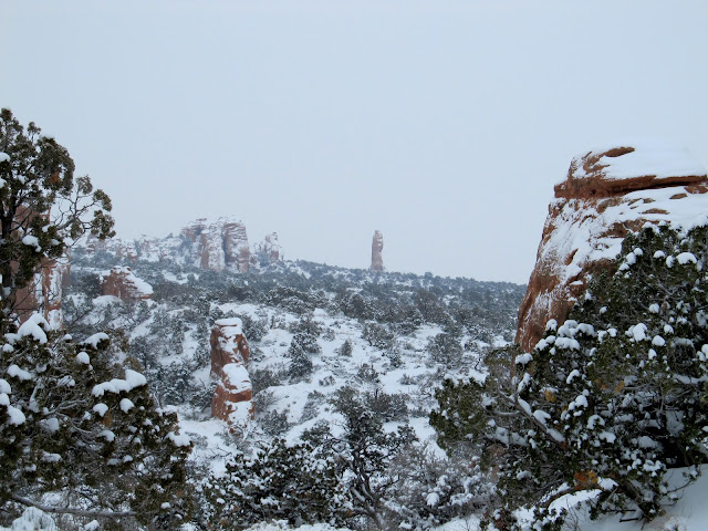
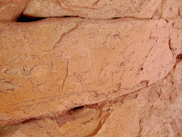
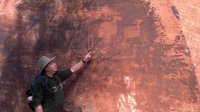
Having completed our objective, we explored the fins in Devil's Garden where we found a few more inscriptions, but none as old or interesting as the Julien writing. After a lunch break under a small overhang, we continued our exploration and attempted to find another "X" on Wade's map. We were looking for a "C.R. 1878" inscription, but the map location placed it in an unlikely spot and I don't think any of us were confident that we'd find it. However, after we had split up and each gone looking in different directions, Alan called out saying that he'd found the inscription in a natural arch.
Between fins
Sheepherder porn
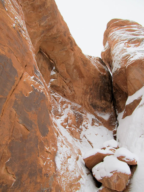
Fins
Arch in a fin
E.P. Vigil, January 9, 1930
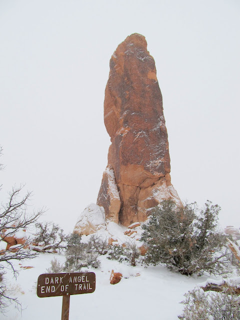
Dark Angel
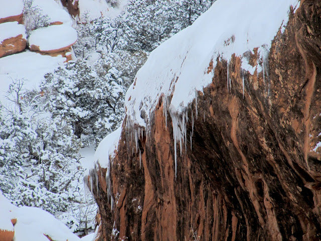
Icicles
Our lunch spot
Alan in an arch in Arches
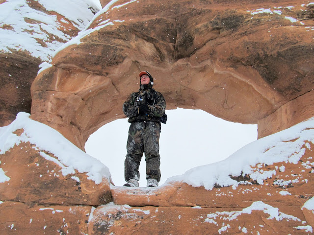
C.R., 1878
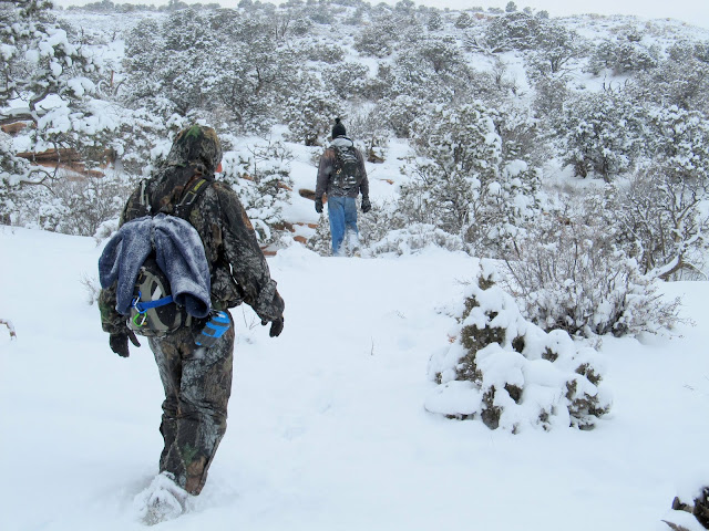
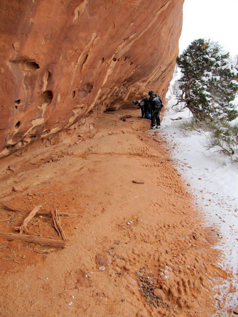
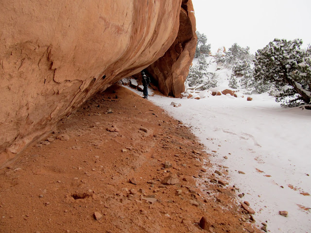
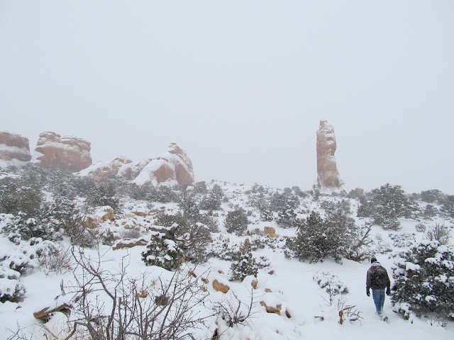
We exited the fins of Devil's Garden using the same route we'd taken in, then decided to hike over to the Dark Angel formation while checking out the outer edge of the fins along the way. We found two overhangs that each held signs of Indian usage. There was charcoal, flint flakes, and even a broken metate, but unfortunately no rock art. Once at Dark Angel we realized it was getting quite late--we knew we'd be getting back to the truck in near-darkness.
Hiking through deeper snow
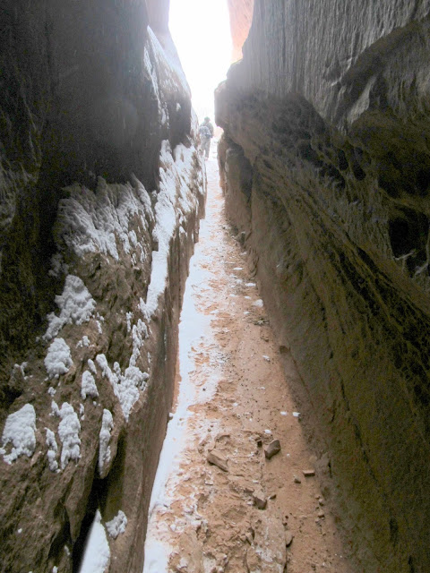
Slot between fins
Overhang
Hidden arch
Another overhang
Broken metate
Fallen fin leaning against another fin
Overhang with metate in lower-right
Approaching Dark Angel
Beginning of trail
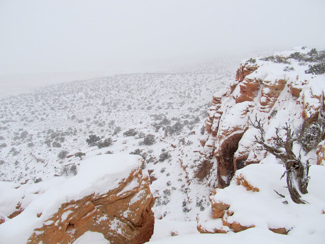
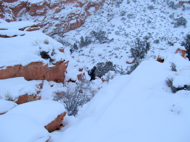
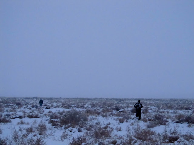
We hiked the top edge of the cliffs looking for a more direct route down into Salt Valley, but we ended up backtracking almost to where we'd originally climbed up through the cliffs before finding a way down. It was a long mile back to the truck, which we reached at about full-dark.
Looking for a route down the cliffs
Alan descending the cliffs
Heading back across the flat in Salt Valley
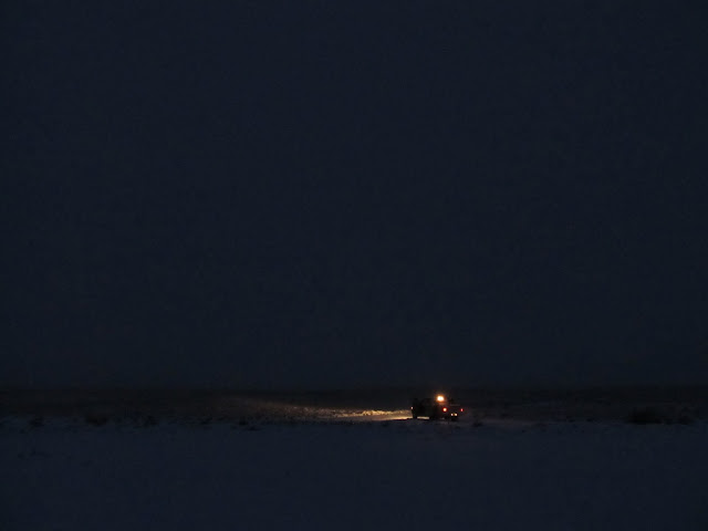
Finally back at the truck
Full photo gallery:
https://picasaweb.google.com/Dennis.Udink/DevilSGarden
Featured image for home page:

Entering Arches National Park on the Salt Valley Road
Our parking spot
Alan hiking in Salt Valley
Wade at an old drill hole
U.S. Potash Test, Utah No. 1
Walking along some low cliffs, looking for a route to the top
A.D. Drake, 4-13-26
Atop the lower level of cliffs we found an old, long unused road that we followed a short distance until we found and climbed up a break in the upper cliffs. It was a relatively flat walk through the snow the remaining distance to the fins delineating the southwestern extent of Devil's Garden.
Wending our way up the cliffs
Old road between cliff bands
Climbing up the final cliff band
Snow-covered yucca
Entering the Devil's Garden
We quickly found what we came for: a Denis Julien inscription from June 9, 1844. We located it based upon an "X" drawn on an old topo map that a friend of Wade's had sent to him. The Julien inscription was carved directly over some petroglyphs, and nearby were other inscriptions dating to the first half of the 1900s. Just around the sandstone fin from the inscriptions was a small but interesting petroglyph panel.
Moises Martinez, Mora, New Mexico, January 31, 1924
Our goal for the day: Denis Julien, June 9, 1844
Petroglyph under Julien's name
Backward bighorn
Petroglyphs
Having completed our objective, we explored the fins in Devil's Garden where we found a few more inscriptions, but none as old or interesting as the Julien writing. After a lunch break under a small overhang, we continued our exploration and attempted to find another "X" on Wade's map. We were looking for a "C.R. 1878" inscription, but the map location placed it in an unlikely spot and I don't think any of us were confident that we'd find it. However, after we had split up and each gone looking in different directions, Alan called out saying that he'd found the inscription in a natural arch.
Between fins
Sheepherder porn
Fins
Arch in a fin
E.P. Vigil, January 9, 1930
Dark Angel
Icicles
Our lunch spot
Alan in an arch in Arches
C.R., 1878
We exited the fins of Devil's Garden using the same route we'd taken in, then decided to hike over to the Dark Angel formation while checking out the outer edge of the fins along the way. We found two overhangs that each held signs of Indian usage. There was charcoal, flint flakes, and even a broken metate, but unfortunately no rock art. Once at Dark Angel we realized it was getting quite late--we knew we'd be getting back to the truck in near-darkness.
Hiking through deeper snow
Slot between fins
Overhang
Hidden arch
Another overhang
Broken metate
Fallen fin leaning against another fin
Overhang with metate in lower-right
Approaching Dark Angel
Beginning of trail
We hiked the top edge of the cliffs looking for a more direct route down into Salt Valley, but we ended up backtracking almost to where we'd originally climbed up through the cliffs before finding a way down. It was a long mile back to the truck, which we reached at about full-dark.
Looking for a route down the cliffs
Alan descending the cliffs
Heading back across the flat in Salt Valley
Finally back at the truck
Full photo gallery:
https://picasaweb.google.com/Dennis.Udink/DevilSGarden
Featured image for home page:


")