Udink
Still right here.
- Joined
- Jan 17, 2012
- Messages
- 1,748
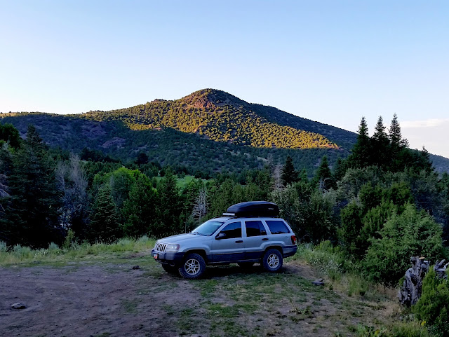
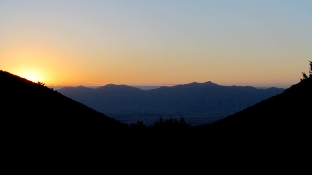
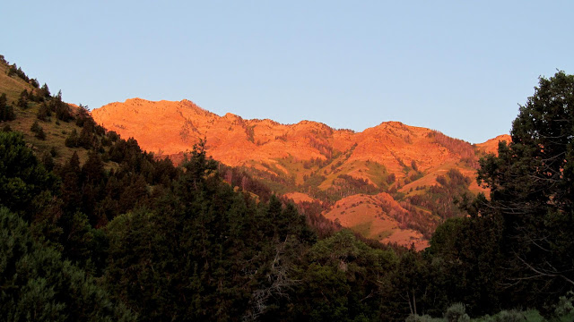
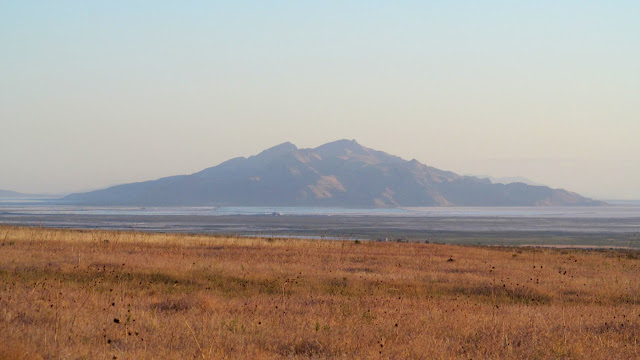
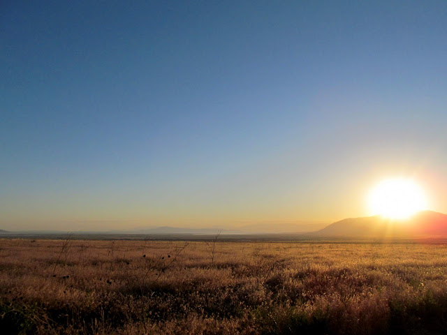
On Sunday I hiked with @Chris Mosbacker and @regehr to the summit of Deseret Peak, the highest point in Tooele County and the Stansbury Range at 11,031 feet elevation. I made the three hour drive on Saturday evening and camped in North Willow Canyon, sleeping in the back of my Jeep. Before my alarm went off on Sunday morning I was already awake. I made coffee and ate a quick breakfast, then drove toward the trailhead in South Willow Canyon about 15 miles away. The sunrise was pretty nice along the way.
Camp spot in North Willow Canyon
Sunrise and the Oquirrh Mountains
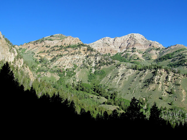
Sunlight on the spine of the Stansbury Range
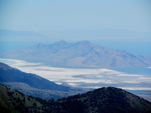
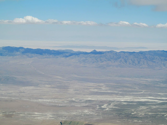
Stansbury Island
Sunrise over the Oquirrhs
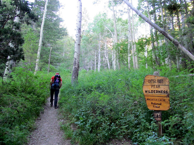
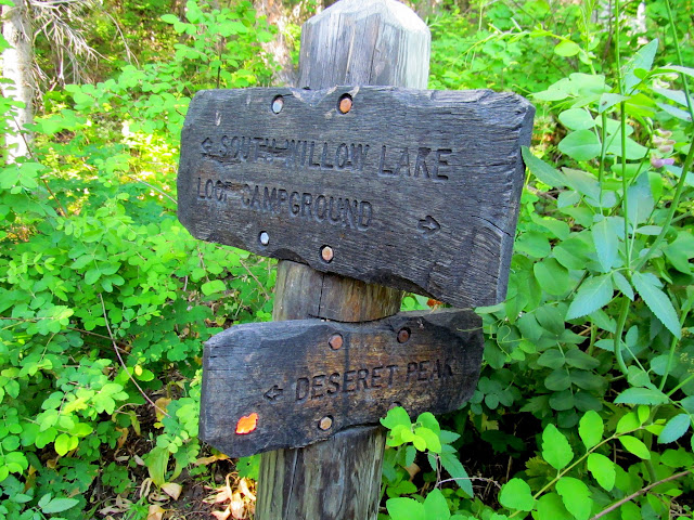
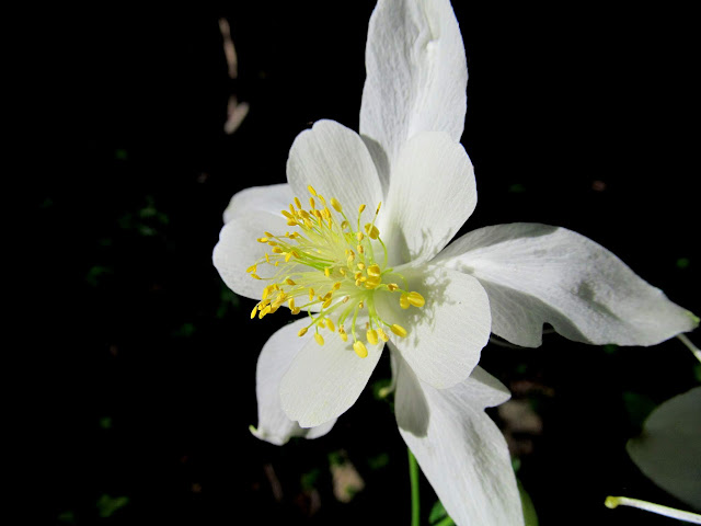
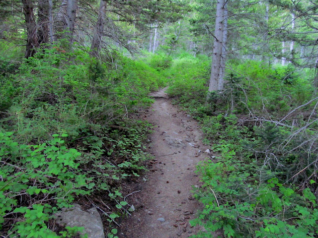
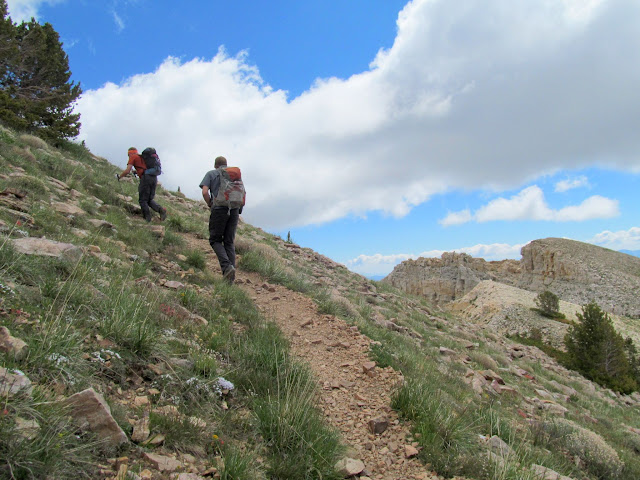
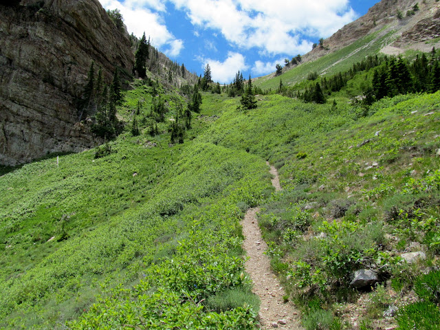
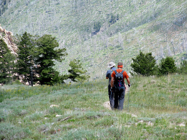
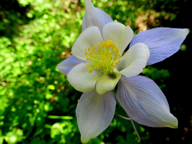
Once John and Chris arrived, I made a brief introduction (as they'd never met) and then we started up the trail. John had summited Deseret Peak several times before and highly recommended the loop up the Mill Fork trail and then down Pocket's Fork, so that's the route we took. Very shortly after leaving the trailhead we entered the Deseret Peak Wilderness, and then passed a trail junction that marked the beginning of our loop. There were Colorado Columbine all along the trail in the shade of the aspen and pine trees, though they were all completely white. As the trail became steeper my lack of fitness became more apparent, but Chris and John were kind enough to hang back and keep me company as we made the ascent together.
Starting up the trail
Trail junction
Colorado Columbine
A view from the shadows
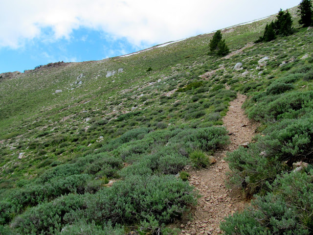
Trail through Mill Fork
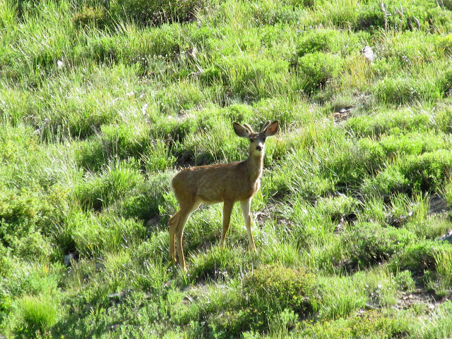
Deer
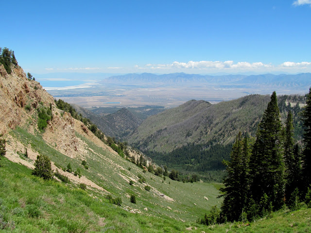
The Stansburys north of Deseret Peak
Stansbury Island
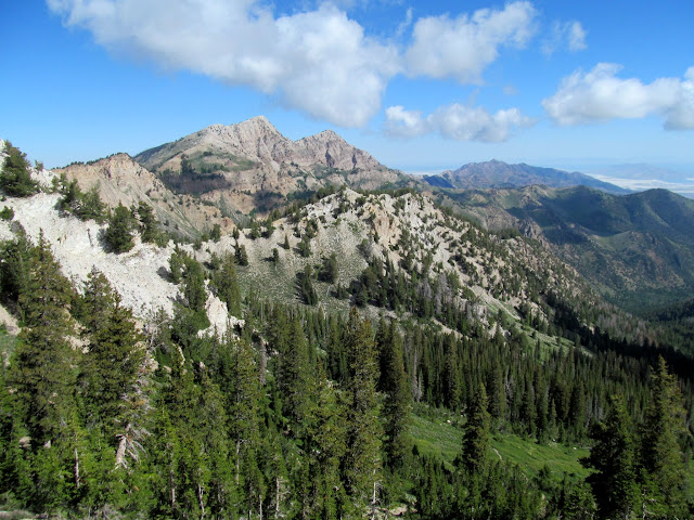
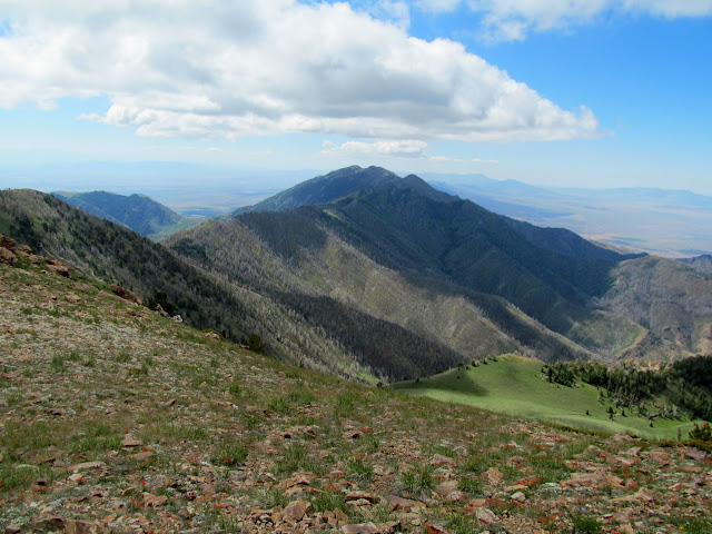
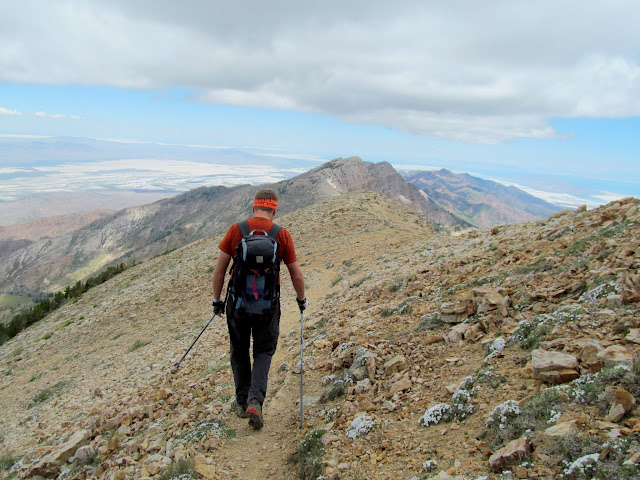
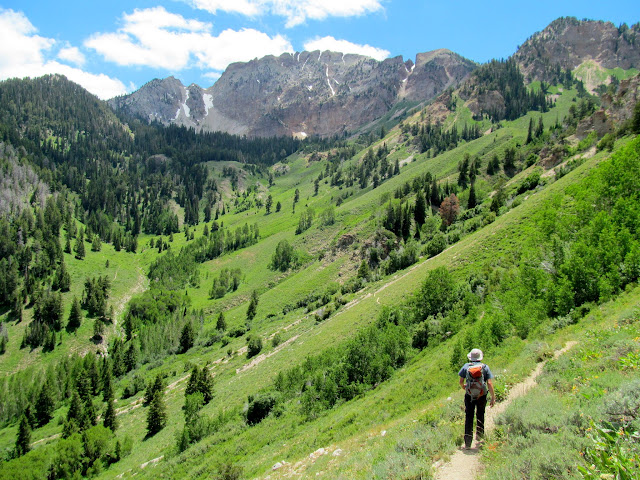
After climbing 2,600 feet we reached the top of the first ridge, leaving another 400-foot climb to the second ridge that we would follow to the summit. The wildflowers on top of the ridges were wonderful despite the meager amount of snow we'd received over the winter. The remainder of the hike to the summit followed a trail just west of the main ridge. We shared the summit with a couple of other people for a few minutes. At one point I descended slightly to find a geocache just below the summit, and as I climbed back up I saw a familiar dog--it was Kangaroo! I looked around for Roo's owner and saw Amiee and then had an awkward, starstruck moment while I introduced myself. Aimee recognized me and Chris from Instagram where we all follow each other and then it became less awkward. I would almost think it's a strange coincidence to have met Amiee and Roo on this peak, but in the last several years I've encountered probably more than half a dozen other people that I only knew online while out hiking.
Top of the first ridge with a view toward the second
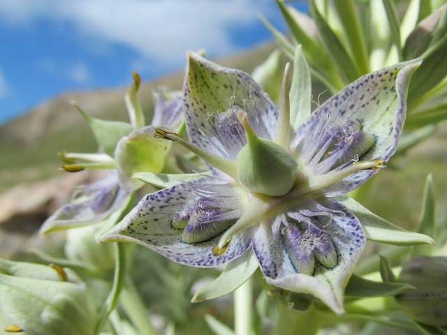
Monument Plant (Frasera speciosa)
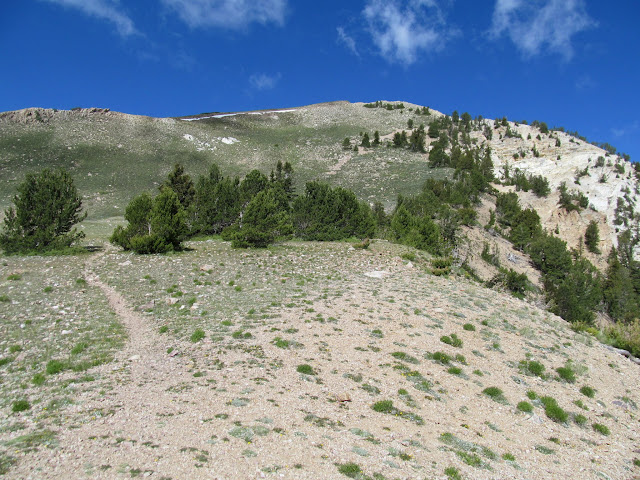
Trail approaching the second ridge
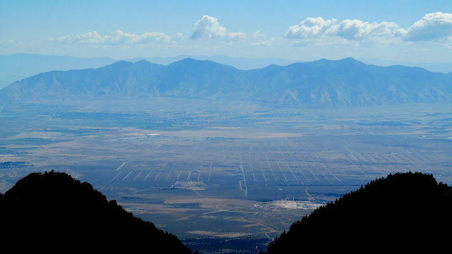
Tooele and the Oquirrhs
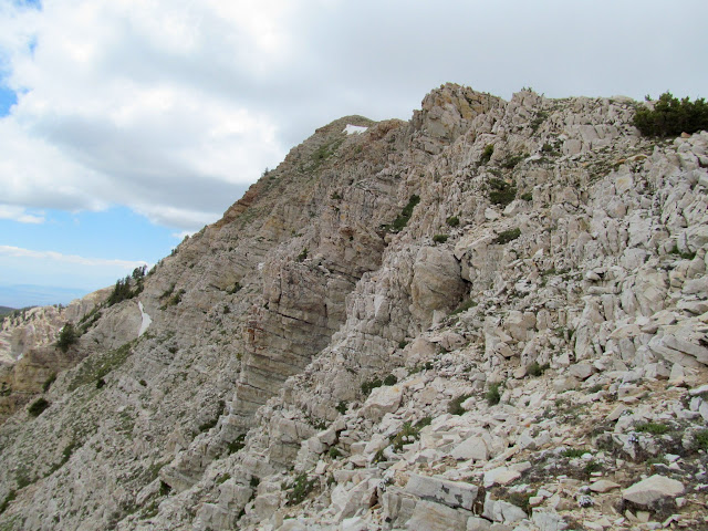
Final climb to the second ridge
The head of Antelope Canyon
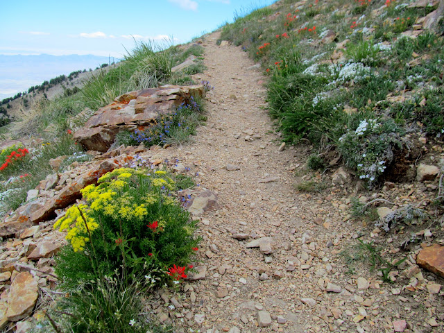
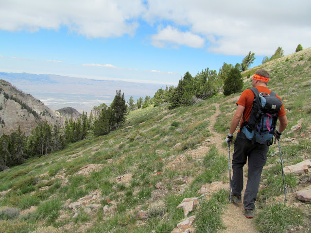
Wildflowers along the trail
Snow in a couloir off the east side of the ridge
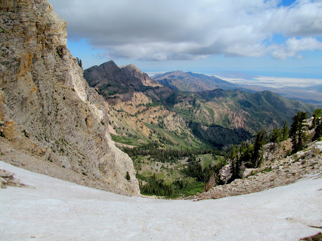
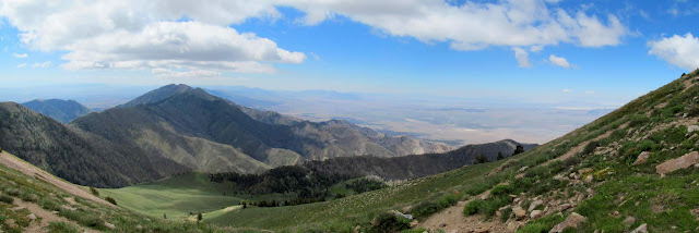
Panorama above the head of Antelope Canyon
Switching back up to Deseret Peak
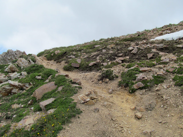
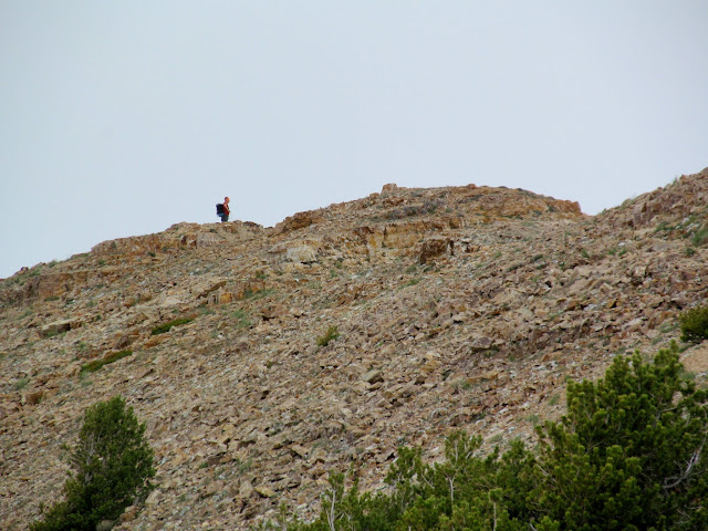
Final stretch of trail leading to the summit
John at the summit of Deseret Peak
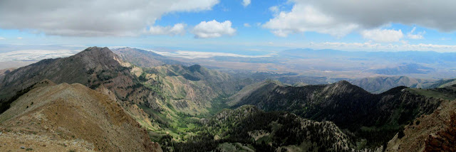
Panorama from the Deseret Peak summit
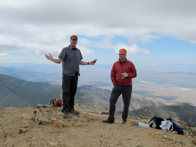
Chris and John at the summit
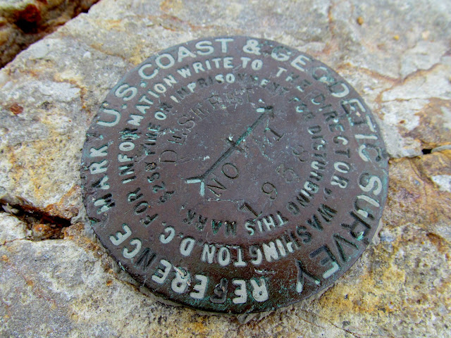
Reference marker at the summit
Tabby's Peak in the Cedar Mountains
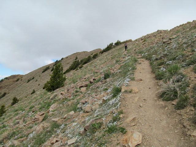
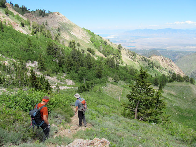
We left the summit and followed the ridgeline north toward Pocket's Fork. The trail skirted the around western edges of a few smaller peaks before dropping east off the ridge. There was, unfortunately for me, one uphill section that made my leg muscles burn. Just after beginning the descent into Pocket's Fork there was one tiny bit of snow that we crossed, even though it would have been easily avoidable. Pocket's Fork was beautiful, especially looking back up the trail after we'd descended from the main ridge. We crossed over a ridge into Dry Lake Fork and were greeted by a stunning view of Deseret Peak (the "big payoff," as John adequately termed it). We reached the trail junction completing the loop, then had only a short distance left until we arrived back at the trailhead. Our round-trip distance was about 8.8 miles with 3,600' elevation difference. Hiking Deseret Peak puts me past the halfway point in hiking all of the Utah county highpoints. I started in 2003, so it has taken me fifteen years to get this far, but I think I'm going to knock out the remaining half by next year.
Beginning the descent toward Pocket's Fork
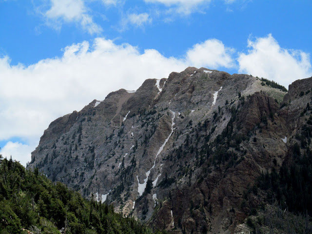
Big cliffs east of Deseret Peak
John leading the way
Above Dry Lake Fork
Eastern face of Deseret Peak
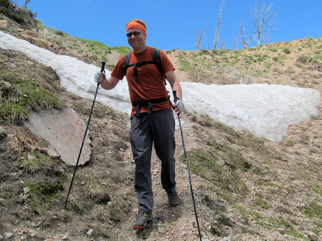
Crossing a tiny snow patch
Descending in Pocket's Fork
Beautiful stretch of trail at the top of Pocket's Fork
Trail in Pocket's Fork, with trees in the distance burned by a 2008 wildfire
View up Dry Lake Fork to Deseret Peak
The only Columbine I saw with any blue in the petals
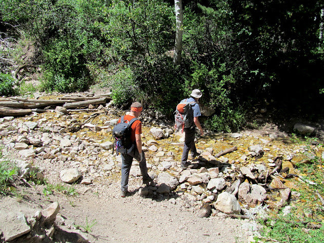
Creek crossing
GPS stats
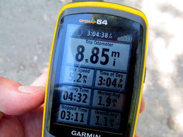
Photo Gallery: Deseret Peak
GPS Track and Photo Waypoints:
[ Google Earth KMZ ] [ Gmap4 Satellite ] [ Gmap4 Topo ]
Camp spot in North Willow Canyon
Sunrise and the Oquirrh Mountains
Sunlight on the spine of the Stansbury Range
Stansbury Island
Sunrise over the Oquirrhs
Once John and Chris arrived, I made a brief introduction (as they'd never met) and then we started up the trail. John had summited Deseret Peak several times before and highly recommended the loop up the Mill Fork trail and then down Pocket's Fork, so that's the route we took. Very shortly after leaving the trailhead we entered the Deseret Peak Wilderness, and then passed a trail junction that marked the beginning of our loop. There were Colorado Columbine all along the trail in the shade of the aspen and pine trees, though they were all completely white. As the trail became steeper my lack of fitness became more apparent, but Chris and John were kind enough to hang back and keep me company as we made the ascent together.
Starting up the trail
Trail junction
Colorado Columbine
A view from the shadows
Trail through Mill Fork
Deer
The Stansburys north of Deseret Peak
Stansbury Island
After climbing 2,600 feet we reached the top of the first ridge, leaving another 400-foot climb to the second ridge that we would follow to the summit. The wildflowers on top of the ridges were wonderful despite the meager amount of snow we'd received over the winter. The remainder of the hike to the summit followed a trail just west of the main ridge. We shared the summit with a couple of other people for a few minutes. At one point I descended slightly to find a geocache just below the summit, and as I climbed back up I saw a familiar dog--it was Kangaroo! I looked around for Roo's owner and saw Amiee and then had an awkward, starstruck moment while I introduced myself. Aimee recognized me and Chris from Instagram where we all follow each other and then it became less awkward. I would almost think it's a strange coincidence to have met Amiee and Roo on this peak, but in the last several years I've encountered probably more than half a dozen other people that I only knew online while out hiking.
Top of the first ridge with a view toward the second
Monument Plant (Frasera speciosa)
Trail approaching the second ridge
Tooele and the Oquirrhs
Final climb to the second ridge
The head of Antelope Canyon
Wildflowers along the trail
Snow in a couloir off the east side of the ridge
Panorama above the head of Antelope Canyon
Switching back up to Deseret Peak
Final stretch of trail leading to the summit
John at the summit of Deseret Peak
Panorama from the Deseret Peak summit
Chris and John at the summit
Reference marker at the summit
Tabby's Peak in the Cedar Mountains
We left the summit and followed the ridgeline north toward Pocket's Fork. The trail skirted the around western edges of a few smaller peaks before dropping east off the ridge. There was, unfortunately for me, one uphill section that made my leg muscles burn. Just after beginning the descent into Pocket's Fork there was one tiny bit of snow that we crossed, even though it would have been easily avoidable. Pocket's Fork was beautiful, especially looking back up the trail after we'd descended from the main ridge. We crossed over a ridge into Dry Lake Fork and were greeted by a stunning view of Deseret Peak (the "big payoff," as John adequately termed it). We reached the trail junction completing the loop, then had only a short distance left until we arrived back at the trailhead. Our round-trip distance was about 8.8 miles with 3,600' elevation difference. Hiking Deseret Peak puts me past the halfway point in hiking all of the Utah county highpoints. I started in 2003, so it has taken me fifteen years to get this far, but I think I'm going to knock out the remaining half by next year.
Beginning the descent toward Pocket's Fork
Big cliffs east of Deseret Peak
John leading the way
Above Dry Lake Fork
Eastern face of Deseret Peak
Crossing a tiny snow patch
Descending in Pocket's Fork
Beautiful stretch of trail at the top of Pocket's Fork
Trail in Pocket's Fork, with trees in the distance burned by a 2008 wildfire
View up Dry Lake Fork to Deseret Peak
The only Columbine I saw with any blue in the petals
Creek crossing
GPS stats
Photo Gallery: Deseret Peak
GPS Track and Photo Waypoints:
[ Google Earth KMZ ] [ Gmap4 Satellite ] [ Gmap4 Topo ]

")