Udink
Still right here.
- Joined
- Jan 17, 2012
- Messages
- 1,748
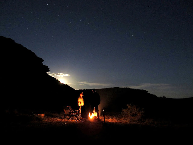
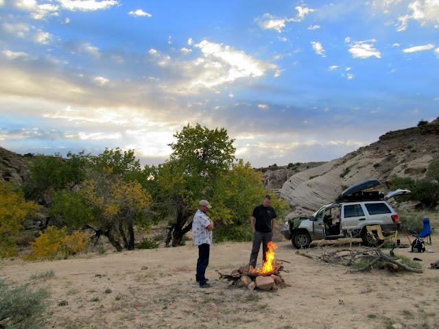
I enjoyed a nice weekend out with just the guys--no kids, no dogs--in Cottonwood Wash along the northern San Rafael Reef. Chris, Mark, and I piled ourselves and our gear into my Jeep and left Price early in the evening. The road from Smith Cabin to Cottonwood Wash was in the worst shape I've ever seen it, and most of the damage seemed to be from recent storms as there were few vehicle tracks over the newly washed out sections. With the late start and slow-going on the rough road, we got to the only campsite in Cottonwood Wash as it was getting dark. We each heated our cans-o-dinner in the camp fire and enjoyed the evening while listening to coyotes howl and yip all around camp. Some of the coyotes came close enough to camp that we could see their eyes reflecting back the light from our headlamps. I'd heard about people seeing bear sign in the canyon before--I had even seen scat myself just a few miles away in Lost Spring Wash--but we still opted to sleep on the ground sans tents. I slept comfortably, and we all rose as soon as the sun hit camp.
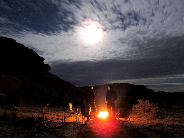
At the camp fire as the moon rises
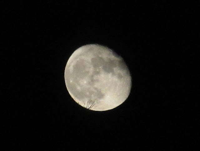
The moon just as it cleared the horizon
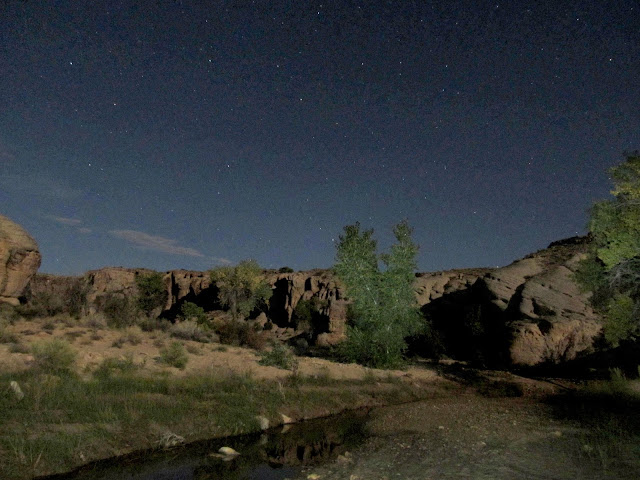
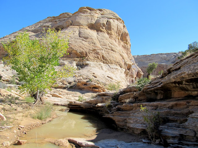
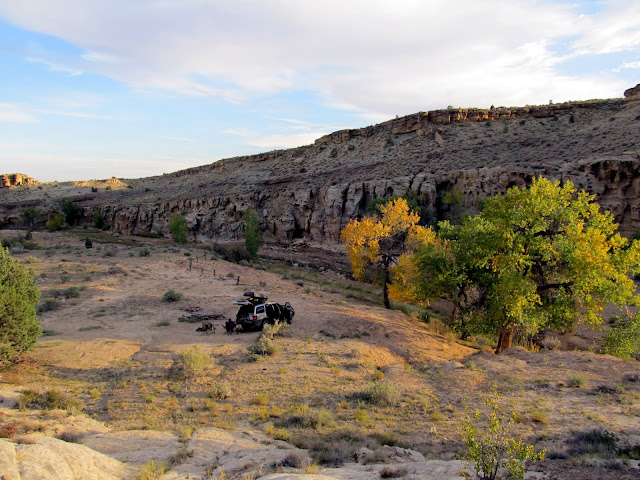
Cottonwood Wash
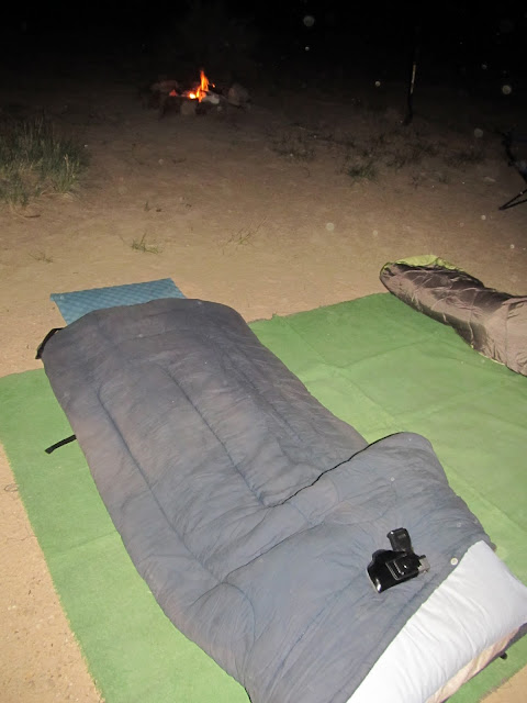
Ready for bed!
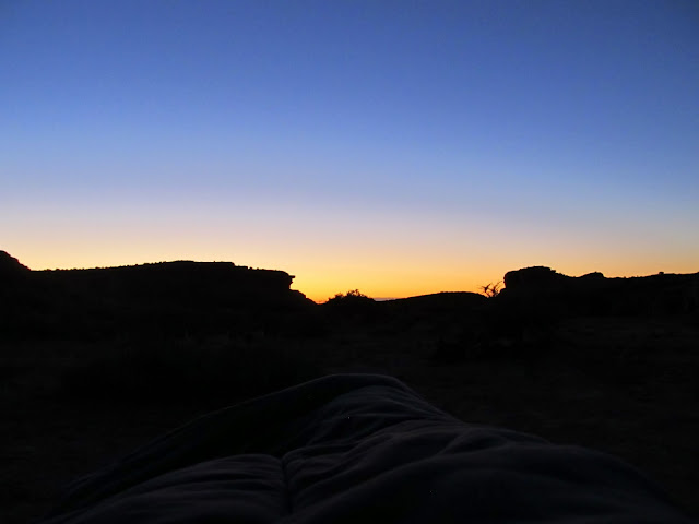
View from my sleeping bag before sunrise on Saturday
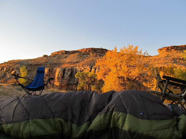
Mark in his bag as the sun reached camp
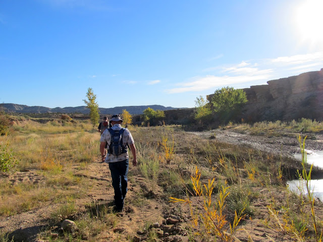
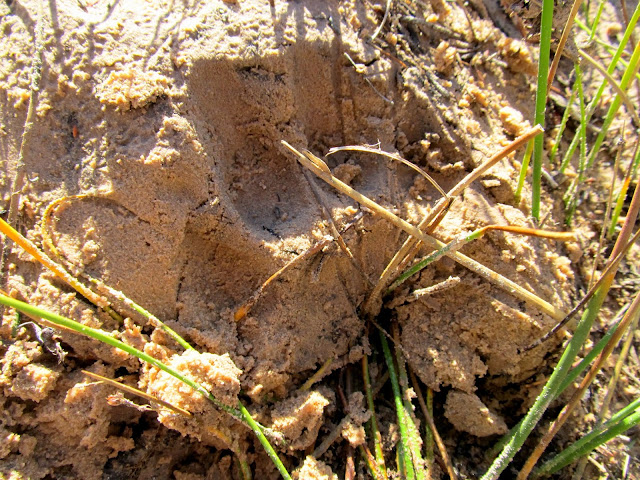
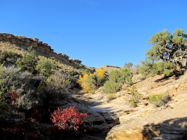
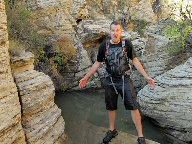
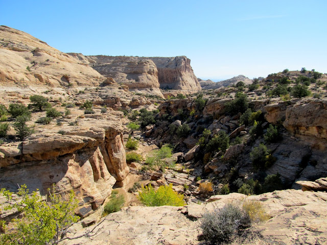
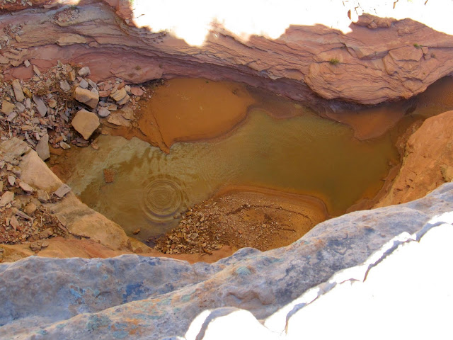
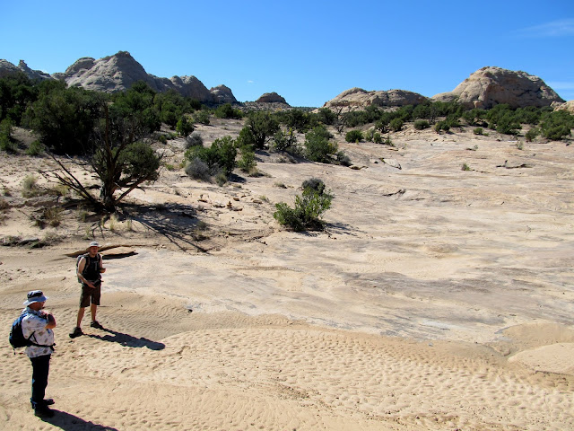
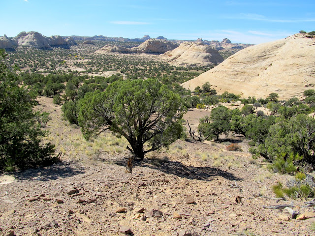
After eating breakfast and securing our gear in the Jeep we set out to hike up the Reef and over to the Nate's Canyon drainage. Just a few hundred feet from camp, in the sand along the bottom of Cottonwood Wash, there were cougar tracks that looked quite fresh! We started up a side canyon leading west up the San Rafael Reef. While Chris was negotiating what appeared to be simply a small pothole full of water, the small tree branch he was holding onto broke and he fell in the water over the top of his head. It was a shock to each of us but probably especially to Chris. He escaped the pothole without injury, and even his phone and wallet survived the dunking. We continued hiking up the Reef along a route I'd mapped out using Google Earth. The route appeared to go unbroken from the mouth of Cottonwood Wash all the way to Box Flat and beyond without any serious obstacles. I recall once hearing about a variant of the Old Spanish Trail that followed this route, and judging by the cairns that we saw along the way it seemed completely plausible.
Hiking down Cottonwood Wash
Cougar track in the sand near camp
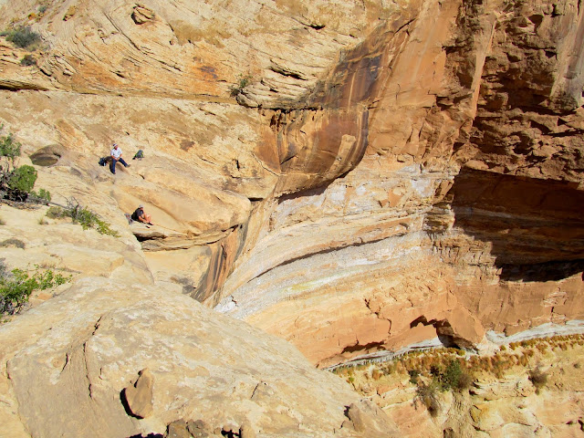
Side canyon that leads up the San Rafael Reef
Chris after falling into a deep pothole
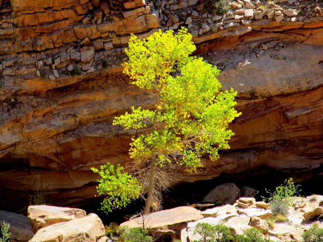
Yellow trees in the side canyon
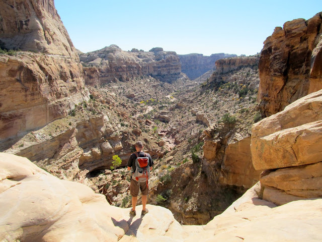
View northeast down the Reef
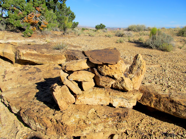
One of many cairns along the route
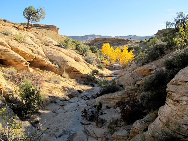
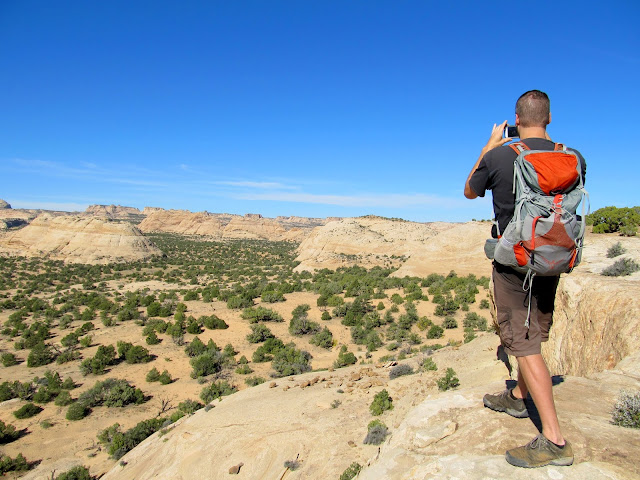
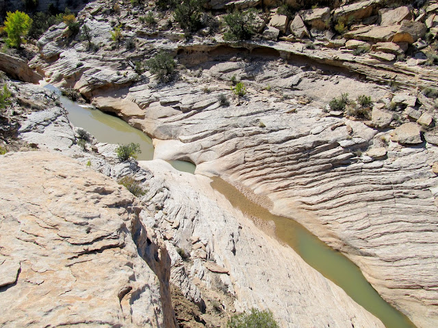
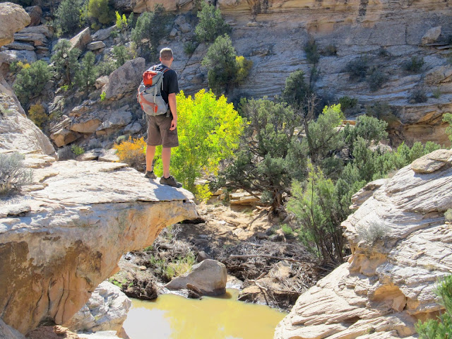
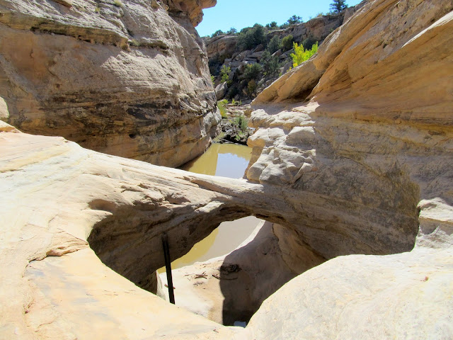
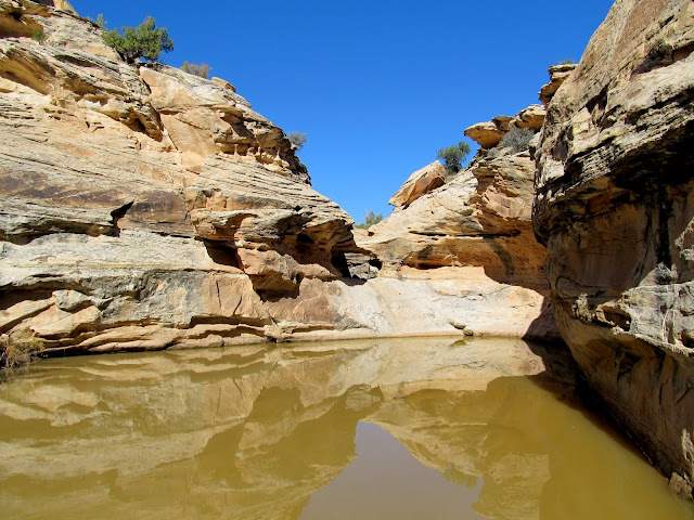
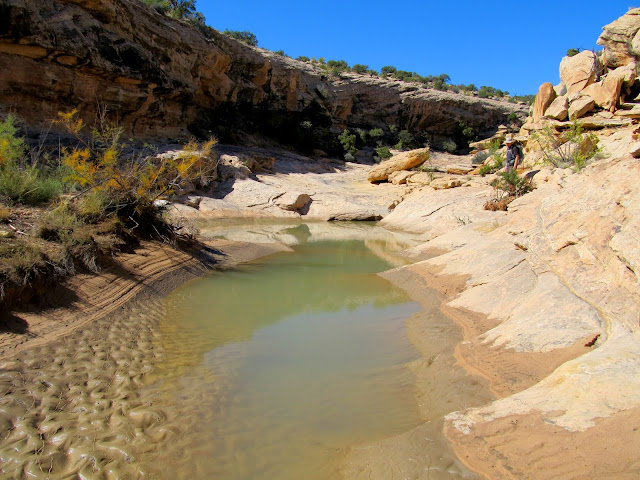
There was a line of cliffs blocking access to Nate's Canyon. We found a spot to scramble down the cliffs easily and made our way to the watercourse in Nate's. In the watercourse we found plenty of water from recent storms. Just above a large pool there was a pothole arch. We couldn't continue down the canyon without getting into the pool, so we climbed out of the canyon and worked our way downstream along the rim until we could climb back in below the pool.
At the rim of Nate's Canyon
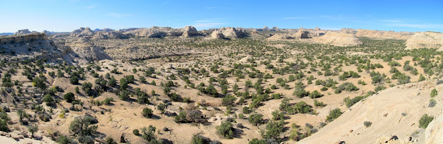
Nate's Canyon panorama
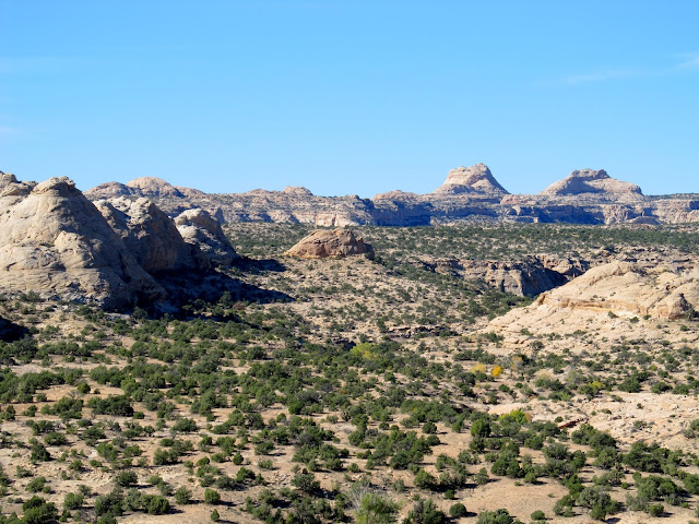
Nate's Canyon with formations on the horizon near the head of Spring Canyon
Water in Nate's Canyon
Chris standing above a large pool
Pothole arch
Route around a pool
Below the pool and pothole arch
Nate's Canyon
Farther down the canyon we reached a huge dryfall. The topo map indicates that it's only 300' tall, but it seems like more in person. We ate lunch at the top of the dryfall, then threw rocks off the edge for a while. There was no way to gain access to the canyon below the dryfall, so we turned around and hiked up the canyon for a while. There were many more pools and dryfalls along the way, but at least nobody fell in.")
On top of a huge dryfall in Nate's Canyon
Glowing tree
Mark and Chris on top of the dryfall
Pool below the dryfall
Pool in Nate's Canyon
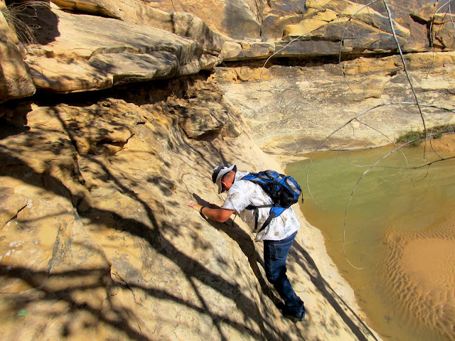
Mark scrambling up some ledges
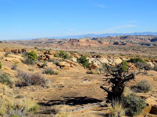
We hiked a short distance past our original entry point into the Nate's Canyon drainage. By then I was getting weary and didn't see any terribly interesting terrain ahead. We decided to hike back down the Reef following our original route up. We found a slightly different spot going up the line of cliffs surrounding Nate's Canyon which had been blocked by barbed wire. One section of wire had been cut and we walked through and regained our previous path.
Nate's Canyon
Barbed wire between trees at one of a very few spots where one can enter Nate's Canyon
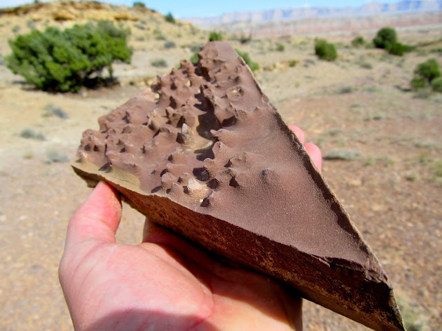
Slice of Carmel pie
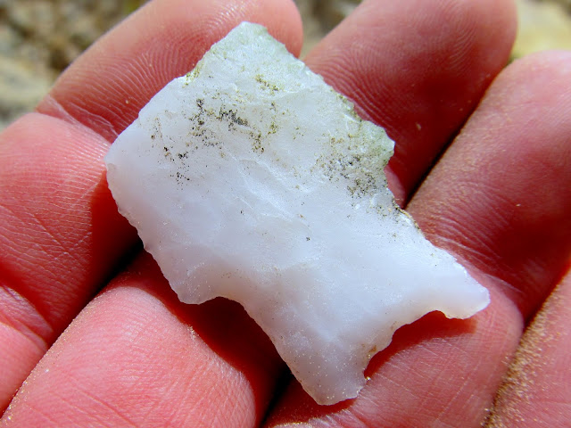
Ooh, a pretty rock!
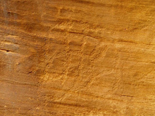
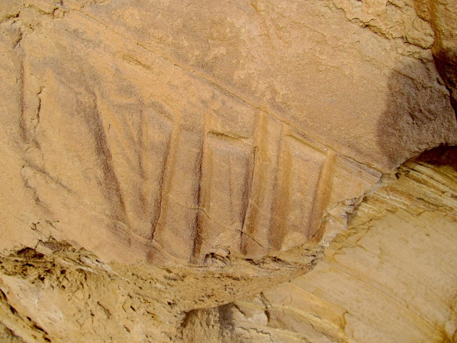
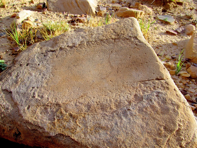
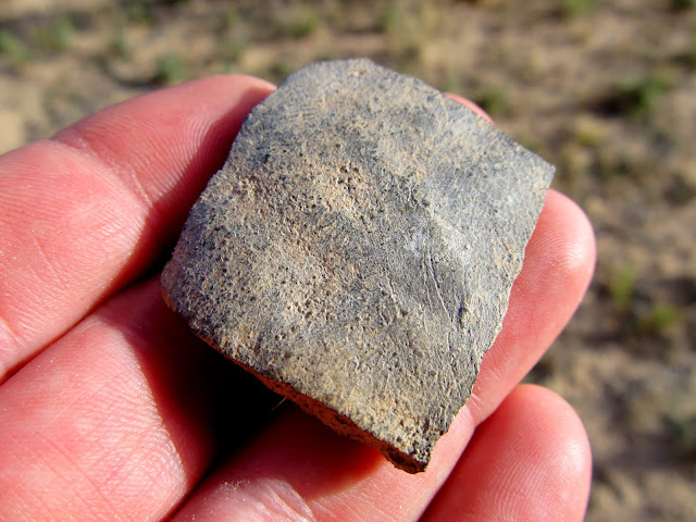
We got back to camp at mid-afternoon and rested for a while. We debated whether to pack up and move camp to somewhere else for the night, or stay put and explore Cottonwood Wash the following day. Laziness won out and we decided to sit tight. We explored our surroundings in the early evening and found some interesting things that I'd never seen during my other hikes up the canyon. There's a very nice petroglyph panel just up the canyon that I'd already been to, but in a different spot we found some other faint and not-as-interesting petroglyphs. There were also at least a couple of grinding stones and a large amount of chert flakes. I even found a single piece of pottery.
Petroglyphs in Cottonwood Wash
Sharpening grooves
Metate
Pottery shard
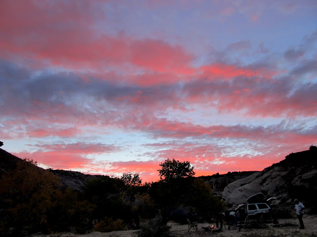
Sunset that evening was brilliant. It lasted a long time but then faded from bright pink to dark gray within a matter of about a minute. For the rest of the evening the clouds moved quickly across the sky as the moon came out and we sat around a fire. I checked the weather forecast using my phone and it called for wind the next day, but no precipitation. We slept on the ground again and endured gusty winds for a couple of hours before sunrise. Just before the sun came up it began to rain. I'm sure we'd all been quietly awake during the wind, but when the rain struck there was a loud "F--- you rain!" emanating from Chris' sleeping bag, which earned quite a chuckle from me and Mark. I awoke with a nasty headache, and combined with the wind and rain I had no desire to hike up the canyon that morning. We all hurriedly shoved our damp, sand-covered gear into the Jeep and said goodbye to our plans. It stopped raining just as we buckled up in the Jeep and were ready to head out. I took one final photo for the weekend--the only one I'd take that day--which belied the ugly weather conditions.
Campsite in Cottonwood Wash
Getting a fire going
We were treated to a beautiful sunset
Camp fire on Saturday night
Parting shot of the sky when leaving on Sunday morning
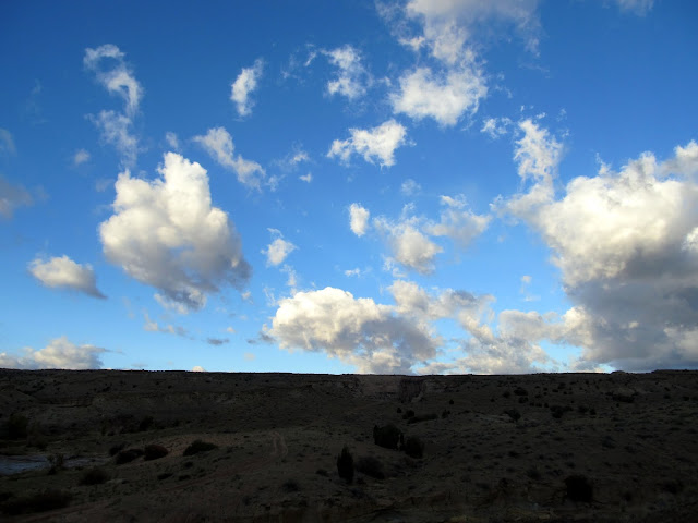
Photo Gallery: Cottonwood Wash to Nate's Canyon
GPS Tracklog and Photo Waypoints:
[Google Earth KMZ] [Google Maps] [Gmap4 Topo]
Featured image for home page:

At the camp fire as the moon rises
The moon just as it cleared the horizon
Cottonwood Wash
Ready for bed!
View from my sleeping bag before sunrise on Saturday
Mark in his bag as the sun reached camp
After eating breakfast and securing our gear in the Jeep we set out to hike up the Reef and over to the Nate's Canyon drainage. Just a few hundred feet from camp, in the sand along the bottom of Cottonwood Wash, there were cougar tracks that looked quite fresh! We started up a side canyon leading west up the San Rafael Reef. While Chris was negotiating what appeared to be simply a small pothole full of water, the small tree branch he was holding onto broke and he fell in the water over the top of his head. It was a shock to each of us but probably especially to Chris.
He escaped the pothole without injury, and even his phone and wallet survived the dunking. We continued hiking up the Reef along a route I'd mapped out using Google Earth. The route appeared to go unbroken from the mouth of Cottonwood Wash all the way to Box Flat and beyond without any serious obstacles. I recall once hearing about a variant of the Old Spanish Trail that followed this route, and judging by the cairns that we saw along the way it seemed completely plausible.Hiking down Cottonwood Wash
Cougar track in the sand near camp
Side canyon that leads up the San Rafael Reef
Chris after falling into a deep pothole
Yellow trees in the side canyon
View northeast down the Reef
One of many cairns along the route
There was a line of cliffs blocking access to Nate's Canyon. We found a spot to scramble down the cliffs easily and made our way to the watercourse in Nate's. In the watercourse we found plenty of water from recent storms. Just above a large pool there was a pothole arch. We couldn't continue down the canyon without getting into the pool, so we climbed out of the canyon and worked our way downstream along the rim until we could climb back in below the pool.
At the rim of Nate's Canyon
Nate's Canyon panorama
Nate's Canyon with formations on the horizon near the head of Spring Canyon
Water in Nate's Canyon
Chris standing above a large pool
Pothole arch
Route around a pool
Below the pool and pothole arch
Nate's Canyon
Farther down the canyon we reached a huge dryfall. The topo map indicates that it's only 300' tall, but it seems like more in person. We ate lunch at the top of the dryfall, then threw rocks off the edge for a while. There was no way to gain access to the canyon below the dryfall, so we turned around and hiked up the canyon for a while. There were many more pools and dryfalls along the way, but at least nobody fell in.
On top of a huge dryfall in Nate's Canyon
Glowing tree
Mark and Chris on top of the dryfall
Pool below the dryfall
Pool in Nate's Canyon
Mark scrambling up some ledges
We hiked a short distance past our original entry point into the Nate's Canyon drainage. By then I was getting weary and didn't see any terribly interesting terrain ahead. We decided to hike back down the Reef following our original route up. We found a slightly different spot going up the line of cliffs surrounding Nate's Canyon which had been blocked by barbed wire. One section of wire had been cut and we walked through and regained our previous path.
Nate's Canyon
Barbed wire between trees at one of a very few spots where one can enter Nate's Canyon
Slice of Carmel pie
Ooh, a pretty rock!
We got back to camp at mid-afternoon and rested for a while. We debated whether to pack up and move camp to somewhere else for the night, or stay put and explore Cottonwood Wash the following day. Laziness won out and we decided to sit tight. We explored our surroundings in the early evening and found some interesting things that I'd never seen during my other hikes up the canyon. There's a very nice petroglyph panel just up the canyon that I'd already been to, but in a different spot we found some other faint and not-as-interesting petroglyphs. There were also at least a couple of grinding stones and a large amount of chert flakes. I even found a single piece of pottery.
Petroglyphs in Cottonwood Wash
Sharpening grooves
Metate
Pottery shard
Sunset that evening was brilliant. It lasted a long time but then faded from bright pink to dark gray within a matter of about a minute. For the rest of the evening the clouds moved quickly across the sky as the moon came out and we sat around a fire. I checked the weather forecast using my phone and it called for wind the next day, but no precipitation. We slept on the ground again and endured gusty winds for a couple of hours before sunrise. Just before the sun came up it began to rain. I'm sure we'd all been quietly awake during the wind, but when the rain struck there was a loud "F--- you rain!" emanating from Chris' sleeping bag, which earned quite a chuckle from me and Mark. I awoke with a nasty headache, and combined with the wind and rain I had no desire to hike up the canyon that morning. We all hurriedly shoved our damp, sand-covered gear into the Jeep and said goodbye to our plans. It stopped raining just as we buckled up in the Jeep and were ready to head out. I took one final photo for the weekend--the only one I'd take that day--which belied the ugly weather conditions.
Campsite in Cottonwood Wash
Getting a fire going
We were treated to a beautiful sunset
Camp fire on Saturday night
Parting shot of the sky when leaving on Sunday morning
Photo Gallery: Cottonwood Wash to Nate's Canyon
GPS Tracklog and Photo Waypoints:
[Google Earth KMZ] [Google Maps] [Gmap4 Topo]
Featured image for home page: