hatchcanyon
Member
- Joined
- May 29, 2013
- Messages
- 136
My recent tour reports were from the Book Cliff area east of Green River.
- Right Hand Tusher Canyon
- Tusher Canyon Bench
This is the third part of our trip to the east.
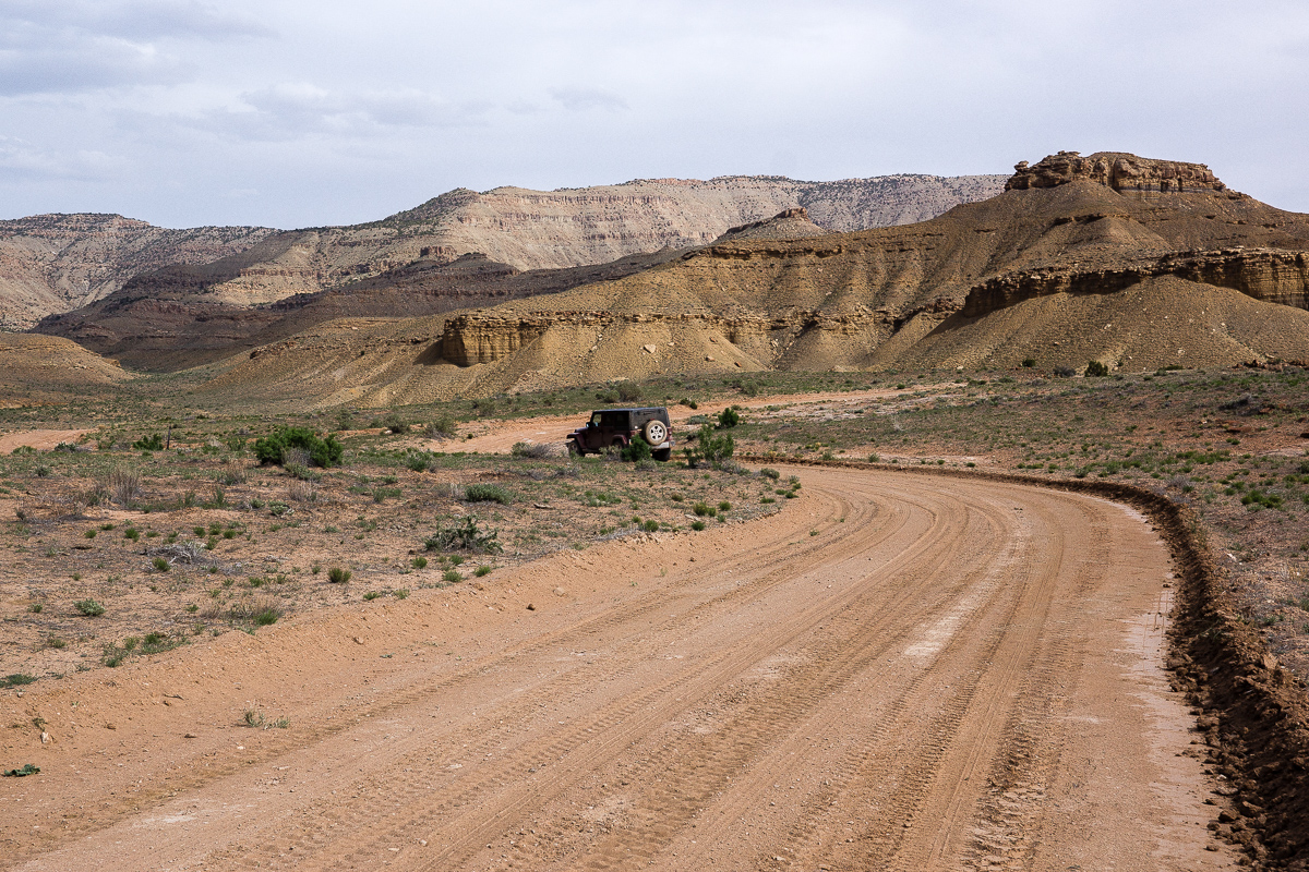
Tusher Canyon Bench and Coal Canyon Bench are traveled by the same dirt road. We defined the transition between both benches at 12S 0582430 4323590 but this might be arbitrary. The road was in good conditions on both benches.
Just around the corner of the point mentioned is a hill from which we heard that locals call it either The Sphinx or alternatively Fat Mama. Location 12S 0583014 4323554.
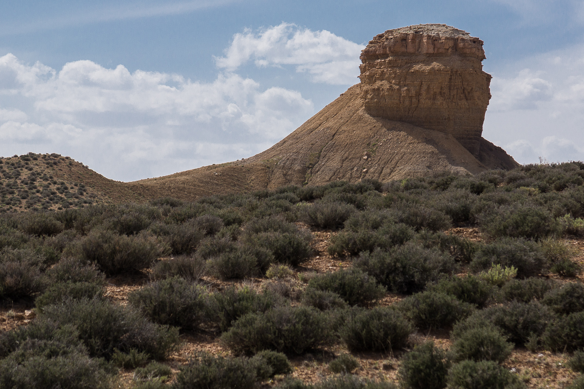
Fat Mama or The Sphinx
Only some spots around the upper reaches of canyons from the right (south) we slightly more rough, but never hard to drive. One will not need a Jeep Wrangler as we had one.
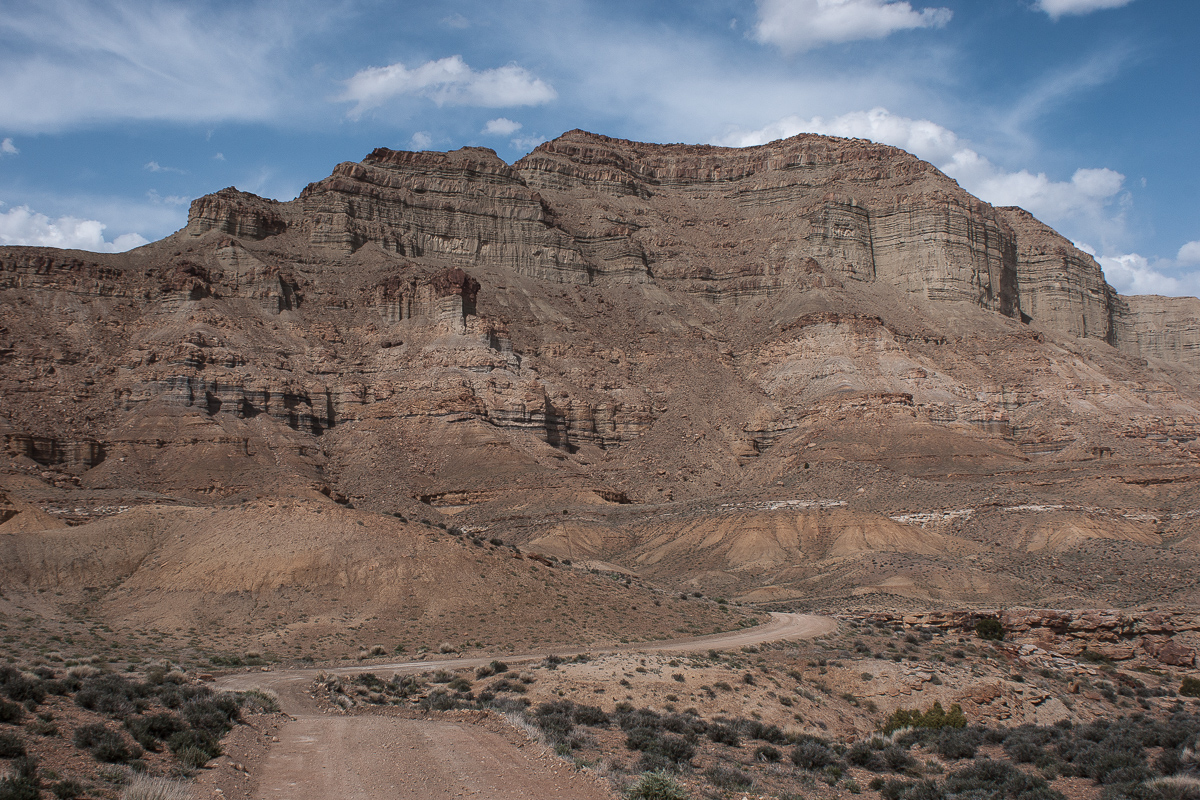
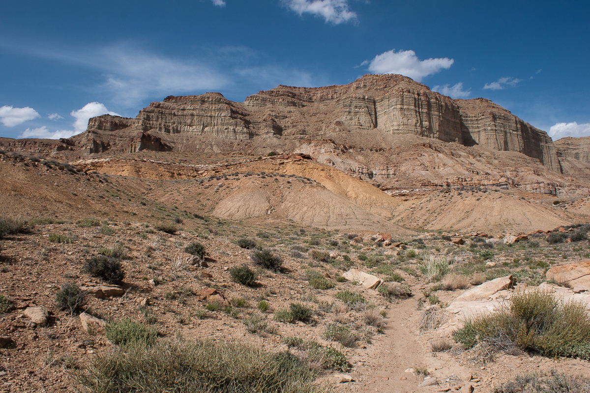
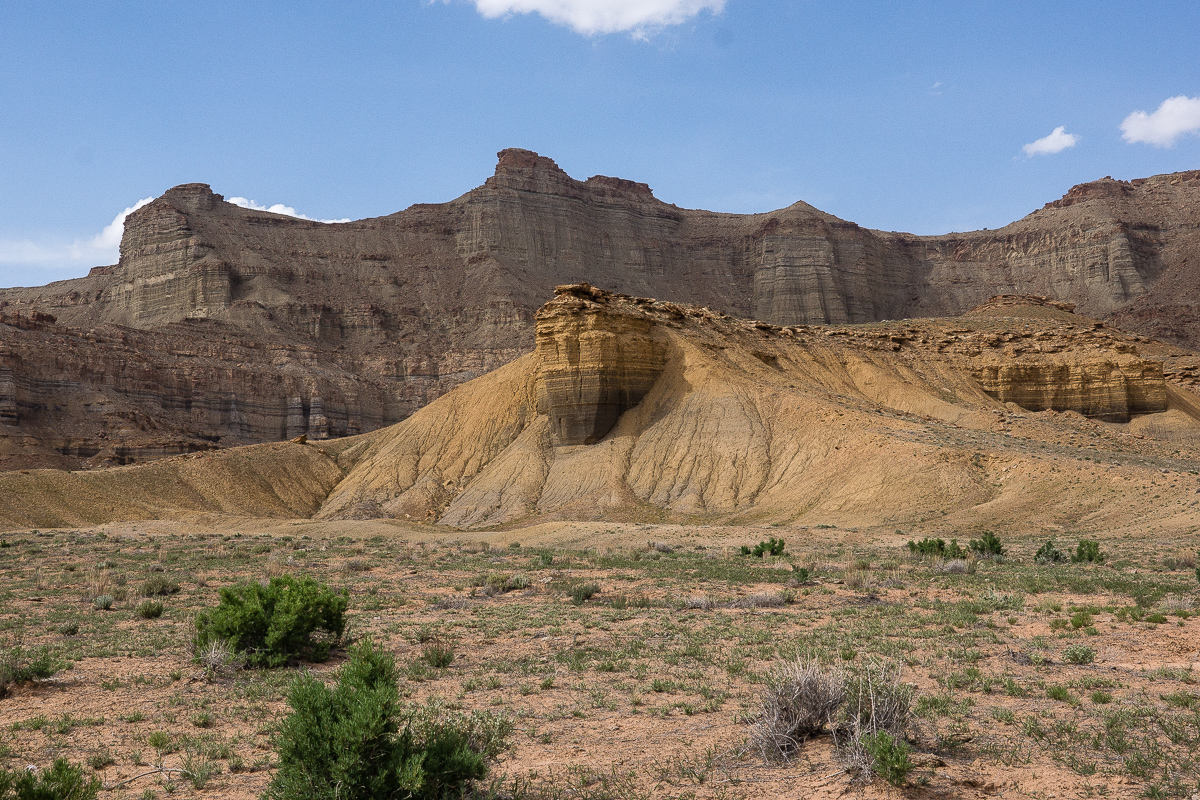
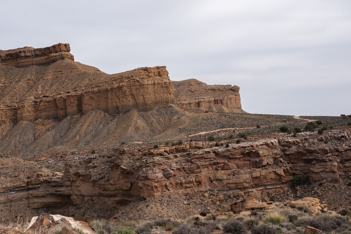
To our left a ridge with sheer walls rises some 1,500 feet above the bench level. Everything is grey, tan or shades of yellow. Definitely no Red Rock Country.
Right Hand Tusher Canyon on the other side of the ridge
Definitely no red rocks!
A branch of Coal Canyon
Unfortunately we had a lot of haze over the Gunnison Valley. No clear view!
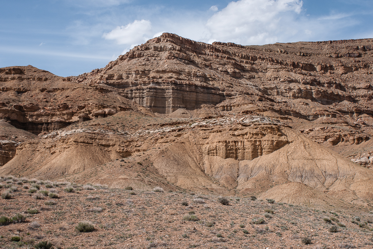
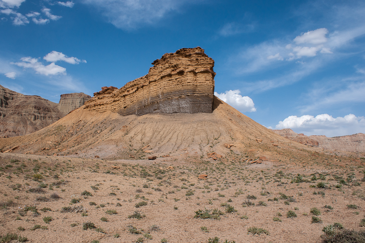
Impressive to us
Simply a layered rock. I love the color nuances.
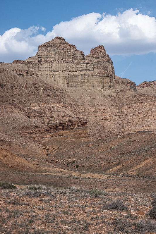
Another impressive wall
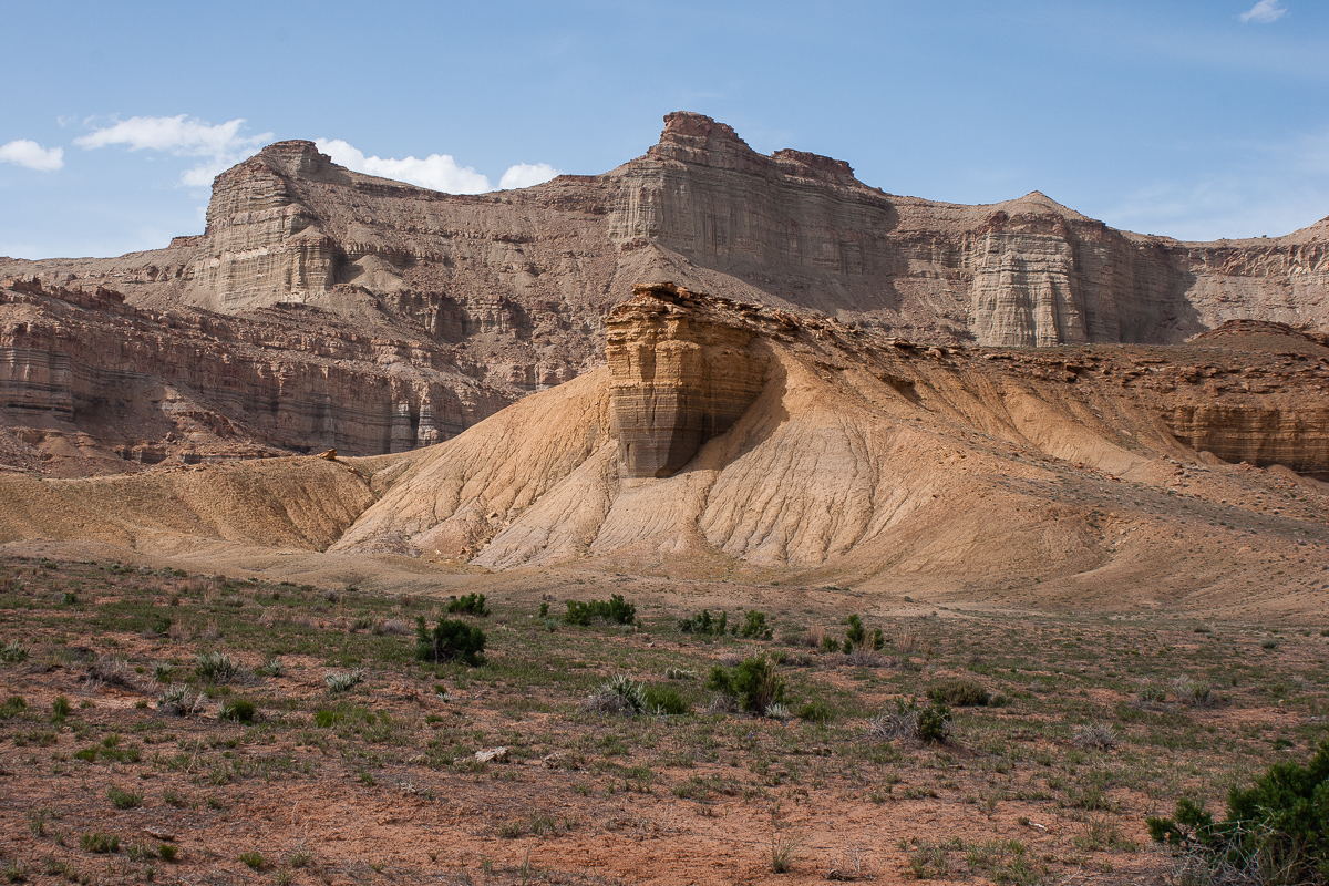
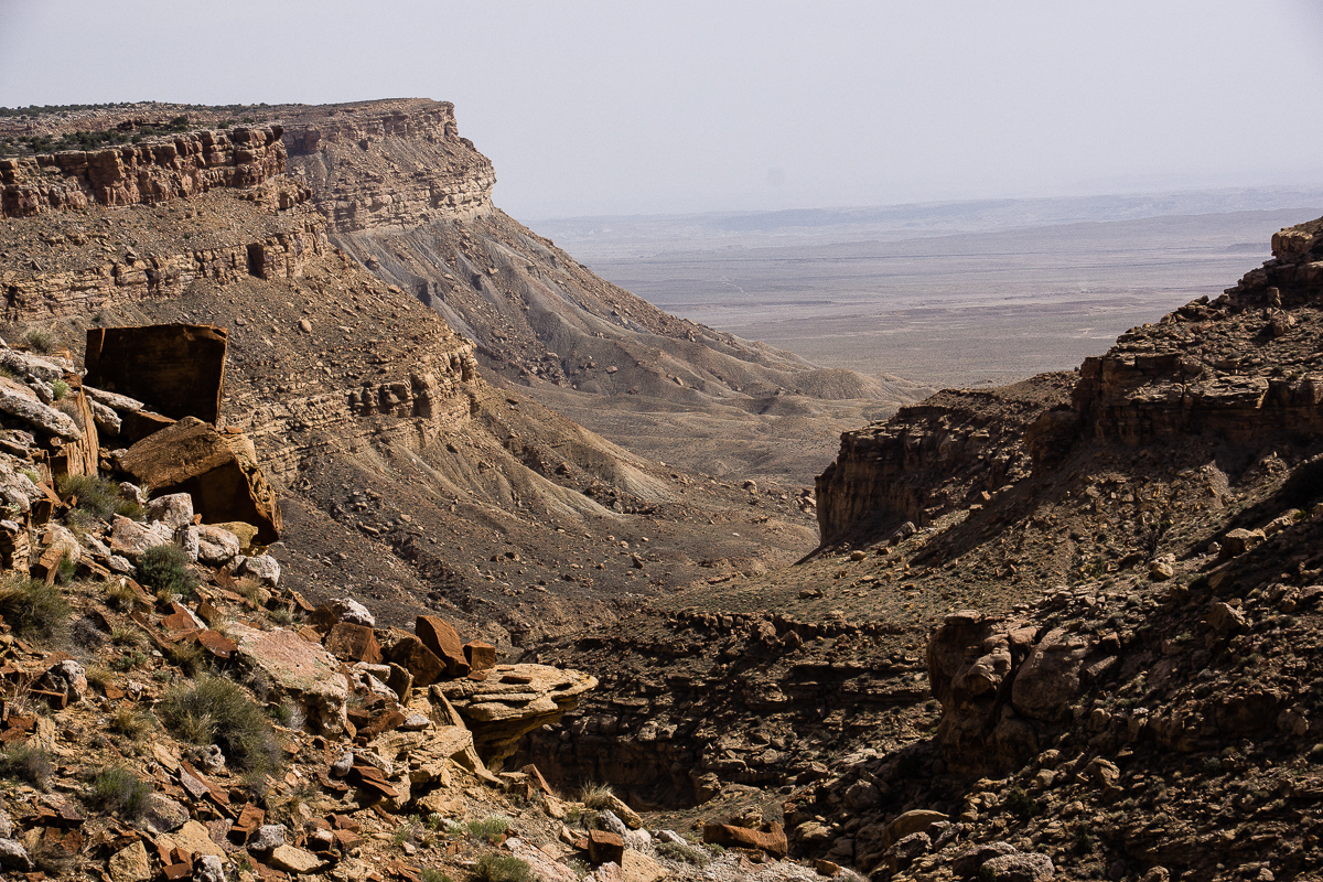
Panoramic view
The road has a southeastern direction. At 12S 0586354 4322305 a spur to the right descends into Coal Canyon. At 12S 0586735 4322109 another one goes straight and seems to be a dead end. We didn't test it.
The very good road etween these branches
Some flowers:
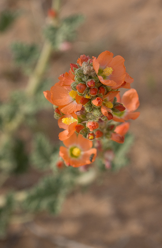
Common Globemallow (Spheralcea coccinea)
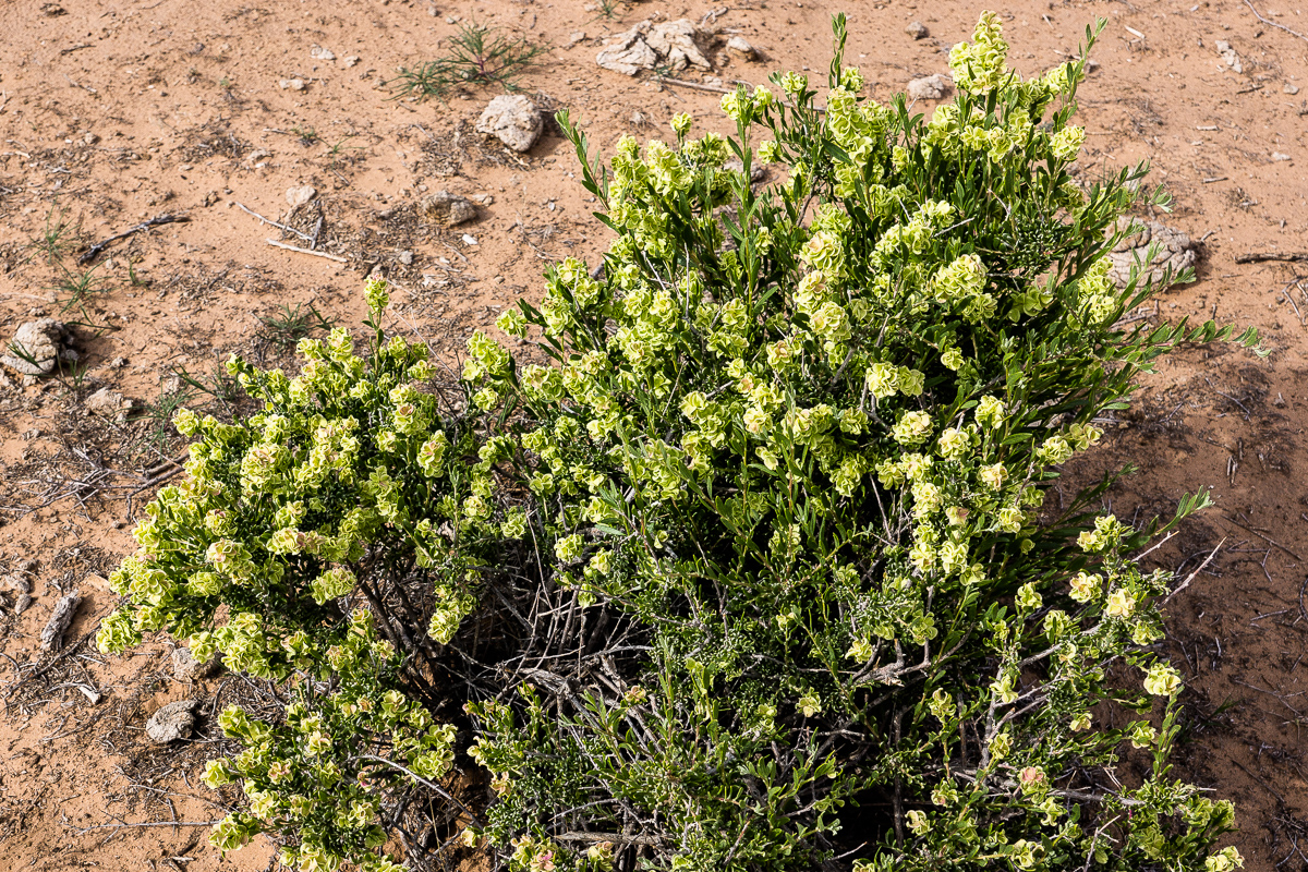
We don't know much biology (???)
Not that easy to break free from the scenery
Stub Canyon
Near Stub Canyon the Coal Canyon Bench ends at a rock corner. You can see Stub Canyon and the road to Horse Canyon
Featured image for home page:

- Right Hand Tusher Canyon
- Tusher Canyon Bench
This is the third part of our trip to the east.
Coal Canyon Bench
Tusher Canyon Bench and Coal Canyon Bench are traveled by the same dirt road. We defined the transition between both benches at 12S 0582430 4323590 but this might be arbitrary. The road was in good conditions on both benches.
Just around the corner of the point mentioned is a hill from which we heard that locals call it either The Sphinx or alternatively Fat Mama. Location 12S 0583014 4323554.
Fat Mama or The Sphinx
Only some spots around the upper reaches of canyons from the right (south) we slightly more rough, but never hard to drive. One will not need a Jeep Wrangler as we had one.
To our left a ridge with sheer walls rises some 1,500 feet above the bench level. Everything is grey, tan or shades of yellow. Definitely no Red Rock Country.
Right Hand Tusher Canyon on the other side of the ridge
Definitely no red rocks!
A branch of Coal Canyon
Unfortunately we had a lot of haze over the Gunnison Valley. No clear view!
Impressive to us
Simply a layered rock. I love the color nuances.
Another impressive wall
Panoramic view
The road has a southeastern direction. At 12S 0586354 4322305 a spur to the right descends into Coal Canyon. At 12S 0586735 4322109 another one goes straight and seems to be a dead end. We didn't test it.
The very good road etween these branches
Some flowers:
Common Globemallow (Spheralcea coccinea)
We don't know much biology (???)
Not that easy to break free from the scenery
Stub Canyon
Near Stub Canyon the Coal Canyon Bench ends at a rock corner. You can see Stub Canyon and the road to Horse Canyon
Featured image for home page:
Last edited: