- Joined
- Dec 23, 2013
- Messages
- 4,296
I made a trip out to the Cedar Mountains with an old backpacking friend yesterday to hike up to the high point along the range and hopefully get a glimpse of the wild horses that call the wilderness home.
We left Salt Lake at 7:00 am, drove west on I-80 to the Aragonite exit, then proceed to work our way south about 15 miles until we reached a stock pond on our left. At this point, we turned left onto a Jeep road that led up a draw. Since we were in a two wheel drive vehicle, we could not make it all the way up the road to where there is an open level spot to park. This added roughly a half mile to the hike.
After walking up the road, we then proceeded of trail to gain the ridge to our south. Once on the ridge, we followed it all the way to the crest. When I reached the crest, I headed south to Cedar Bench on a horse trail. At the top, I scanned the ridges for the feral horses as I ate my lunch, but I couldn't spot the herd.
The views, in all directions were spectacular and I stayed up top for about forty minutes before returning the way I had come. Once back at the van, we were going to pull slightly forward and then back down the Jeep road for about 25 yards to a place where we could turn around. Unfortunately, we pulled a little to far forward and when we tried to back up the driver's side rear tire dug into the soft ground. It took us a while to finally mage to get out, but I suppose that's part of the adventure.
I'm afraid I have to blame @Cuberant for this excursion. After hiking up Deseret Peak the previous Sunday because of his excellent trip report, I looked over to the west and thought, "I wonder what those mountains are like?" I believe this may be the "Domino Effect". Someone needs to put my leash back on me!
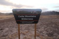
Head south along the Cedar Mountain Road at this Wilderness sign
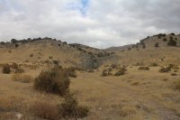
Turn left off of the Cedar Mountain Road just beyond this chute at the livestock pond. The Jeep road cuts across the hillside just above the right side of the chute.
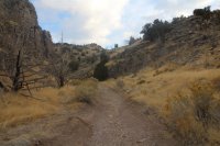 Walking up the Jeep road
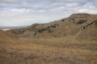
The flat area just before the jeep road starts heading up the hill is where those with 4WD can park. At this point, we are heading up the hillside to gain the ridge
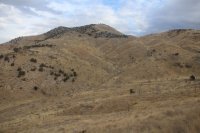
View to the north
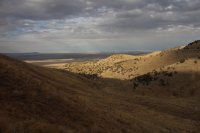
A look to the west down the Jeep road.
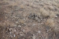
Plenty of sign of the horses along the ridge
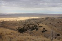
Another view off to the west
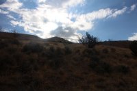
Hard to see because of the sun, but you want to hit the crest to the right of the distant hill
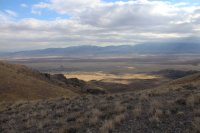
At the saddle I got my first view to the east of Skull Valley and the Stansbury Range.
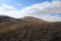
View to the south from just above the saddle - The first sight of Cedar Bench
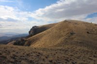
Almost there.
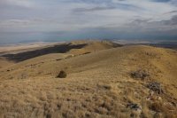
View to the north along the range
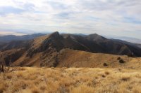
View to the south along the range
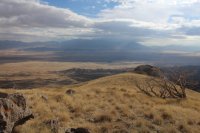
Storm clouds over Deseret Peak to the east
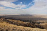
The Wildcat Mountains to the southwest
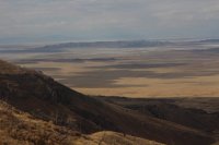
Closeup of the Wildcat Mountains
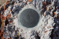
Bench Mark on top
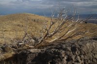
Previously burned Juniper on the crest
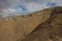
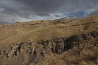
View to the north on the way back down the ridge
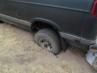
Dug in while trying to back up
We left Salt Lake at 7:00 am, drove west on I-80 to the Aragonite exit, then proceed to work our way south about 15 miles until we reached a stock pond on our left. At this point, we turned left onto a Jeep road that led up a draw. Since we were in a two wheel drive vehicle, we could not make it all the way up the road to where there is an open level spot to park. This added roughly a half mile to the hike.
After walking up the road, we then proceeded of trail to gain the ridge to our south. Once on the ridge, we followed it all the way to the crest. When I reached the crest, I headed south to Cedar Bench on a horse trail. At the top, I scanned the ridges for the feral horses as I ate my lunch, but I couldn't spot the herd.
The views, in all directions were spectacular and I stayed up top for about forty minutes before returning the way I had come. Once back at the van, we were going to pull slightly forward and then back down the Jeep road for about 25 yards to a place where we could turn around. Unfortunately, we pulled a little to far forward and when we tried to back up the driver's side rear tire dug into the soft ground. It took us a while to finally mage to get out, but I suppose that's part of the adventure.
I'm afraid I have to blame @Cuberant for this excursion. After hiking up Deseret Peak the previous Sunday because of his excellent trip report, I looked over to the west and thought, "I wonder what those mountains are like?" I believe this may be the "Domino Effect". Someone needs to put my leash back on me!

Head south along the Cedar Mountain Road at this Wilderness sign

Turn left off of the Cedar Mountain Road just beyond this chute at the livestock pond. The Jeep road cuts across the hillside just above the right side of the chute.
 Walking up the Jeep road
The flat area just before the jeep road starts heading up the hill is where those with 4WD can park. At this point, we are heading up the hillside to gain the ridge

View to the north

A look to the west down the Jeep road.

Plenty of sign of the horses along the ridge

Another view off to the west

Hard to see because of the sun, but you want to hit the crest to the right of the distant hill

At the saddle I got my first view to the east of Skull Valley and the Stansbury Range.

View to the south from just above the saddle - The first sight of Cedar Bench

Almost there.

View to the north along the range

View to the south along the range

Storm clouds over Deseret Peak to the east

The Wildcat Mountains to the southwest

Closeup of the Wildcat Mountains

Bench Mark on top

Previously burned Juniper on the crest


View to the north on the way back down the ridge

Dug in while trying to back up
