- Joined
- Dec 23, 2013
- Messages
- 4,181
A day after our day hike to Violet Springs and Hayden Valley, and a hearty breakfast at the Old Faithful Inn, we checked out from the cabins at Old Faithful and headed to Island Park to meet up with @Bob who would shuttle us from the Bechler Ranger Station to the Buffalo Trail Trailhead, which is actually located outside the Park on Forest Service Land. On our way to the ranger station, we stopped off at upper and lower Mesa Falls to get some pictures. Once at the ranger station, we got an updated weather forecast, which called for some unsettled weather for the last couple days of our trip. Basically just typical Yellowstone weather for this time of year.
We left the Subaru and @TractorDoc 's rental car at the ranger station and then we all hopped into Bob's truck for the ride north to the Buffalo Lake Trailhead. Bob had decided to join us for the first night at Buffalo Lake before heading back home on day two.
The route from trailhead to trailhead was approximately 24 miles in length, and we also had a roughly 7 mile day hike thrown in for good measure on day three. We ended up staying at campsite 9A5 (Buffalo Lake) our first night, 9A4 (Talus Terrace) for nights two and three, and 9B1 (Lower Boundary Creek) in the Bechler Meadows for night number four.
I was excited for this trip because Buffalo Lake and upper Boundary Creek are two places that I have never been in Yellowstone before.
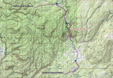
Trip overview map
Day 1 - Shuttle vehicles, then Buffalo Lake Trailhead to Buffalo Lake
The Buffalo Lake Trailhead is rather inconspicuous as it is unmarked and located at the beginning of an old Forest Service logging road that has long since been abandoned by the FS. They have built up a berm near the start of the road so that folks can't drive further down the road. I'm not sure when the road was last used, but new growth was popping up in the middle of the old road in various sections of the roadway as we made our way towards the Park boundary.
Cody and Patrick got to fire off one of Bob's old bear spray cans before we hiked in to give them a feel for using bear spray. I think they enjoyed it.
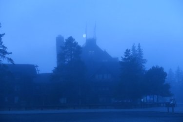
The moon over a foggy Old Faithful Inn
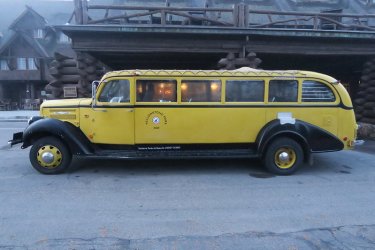
I can't pass up a shot of the old buses
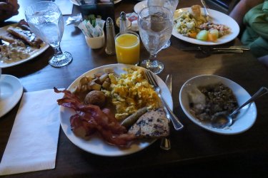
A hearty breakfast buffet awaited us at the Old Faithful Inn, and Scatman took full advantage.
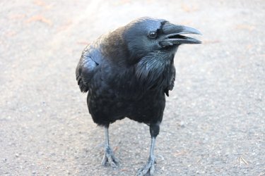
A raven begging us not to leave Old Faithful
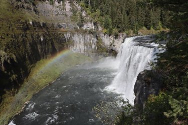
Upper Mesa Falls
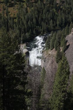
And Lower Mesa Falls
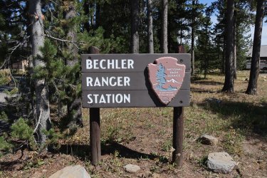
Arriving at the Bechler Ranger Station
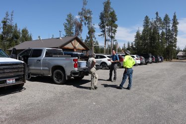
The three masterminds contemplating the trip ahead
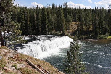
A quick stop off at Cave Falls before heading on to the Buffalo Lake Trailhead. I had no idea that the cave no longer exists.
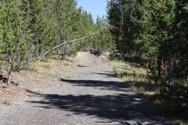
A view to the east of the berm at the beginning of the old Forest Service Road. You shall not pass!
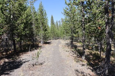
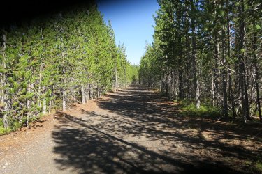
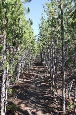
Views along the old road as we made our way towards the Park Boundary
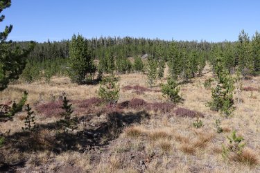
At roads end, things begin to open up a bit
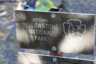
Arriving at the Park boundary
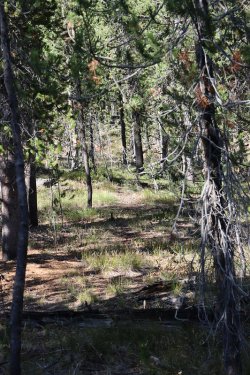
Gold on this one! The old West Boundary Trail heading north to the Summit Lake Trail
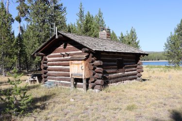
The patrol cabin at Buffalo Lake. I was told that this was the oldest patrol cabin in the Park having been built in 1915.
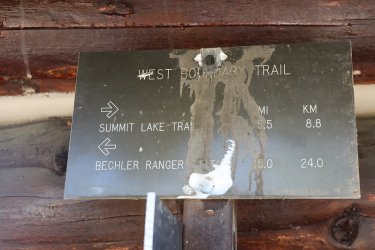
More Yellowstone gold! The sign that pointed the way to the Summit Lake Trail, now located at the cabin instead of on the boundary
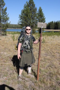
Let's get this back to where it belongs.


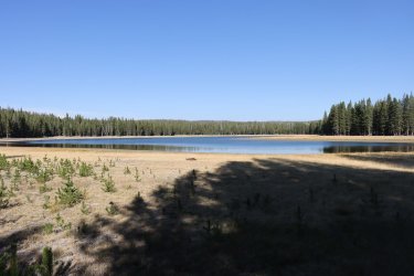
Buffalo Lake
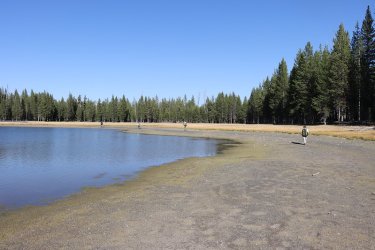
Taking the long way around the lake to campsite 9A5
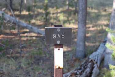
Our home for the night
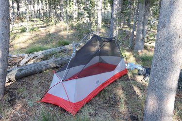
Testing out a new tent that I bought years ago on sale but had never used before
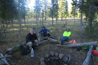
Dinner time!
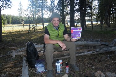
A fitting meal for the @CajunPoncho
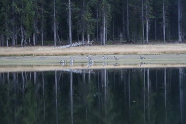
These geese would keep us company throughout the night. They were honkers @Rockskipper! Woke me up a couple of times.
Day 2 - Buffalo Lake to Talus Terrace campsite on Boundary Creek
Day two was a short one of about five miles as we made our way down upper Boundary Creek. Bob would leave the group this morning and head back to the trailhead, hopefully exploring some of the West Boundary Trail on the way back to his truck.
My right knee has not been feeling well for awhile now and I quickly fell behind the three amigos, but it turned out to be a plus as they stirred up a grizzly bear that I got to see walk rather briskly along the dry Boundary Creek bed for about 30 feet.
The other highlight of day two was getting to explore the thermal area that the trail passed through. We took a short break to explore the various thermal features the basin
had to offer.
Campsite 9A4 turned out to be a nice site, sitting right on the east side of Boundary Creek, though it was not obvious, at least to us, where the tent sites were supposed to be.
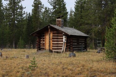
Front view of the cabin on my way to use the pit toilet before leaving 9A5
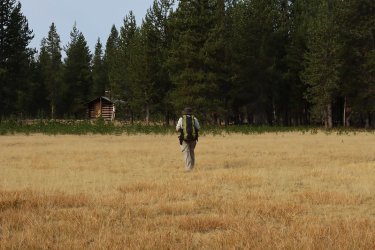
Bob heading back to the trailhead
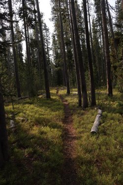
Wooded trail at the beginning
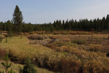
Breaking out into the meadows along Boundary Creek (dry at this point)
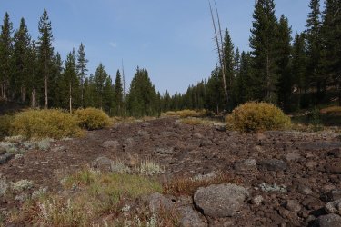
Dry creek bed
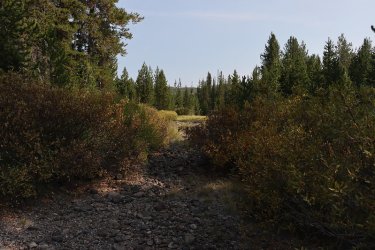
That clearing ahead is where I saw the grizzly go by, just above the creek bed.
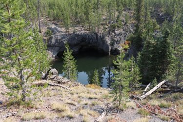
Finally some water.
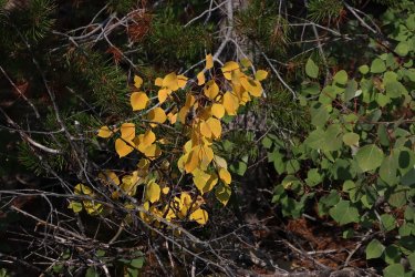
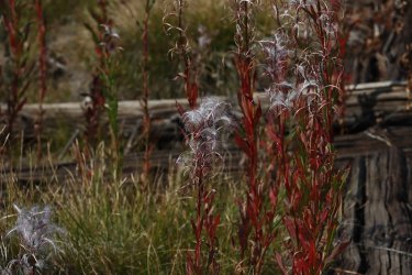
Signs of fall
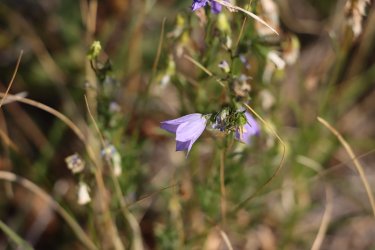
Harebells were still blooming in September
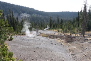
Arriving at the thermal areas along Boundary Creek
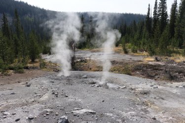
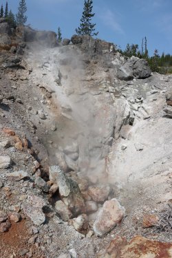
More thermal features
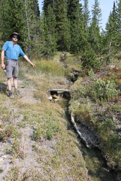
Dave, pointing out where someone used to do research in the area on thermal activity.
Sorry Dave, but I can't remember the gentleman's name.
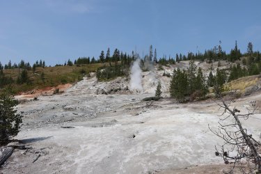
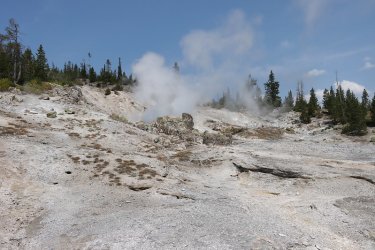
And back to more exploration
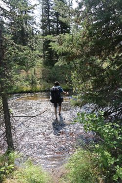
Fording Boundary Creek
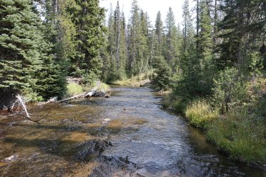
Boundary Creek
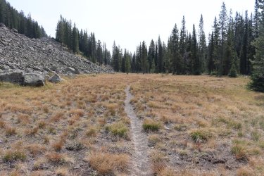
The Boundary Creek Trail, heading south just before campsite 9A4
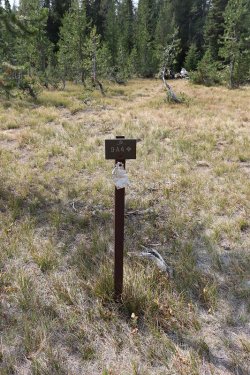
We have arrived
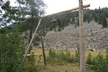
Newly constructed bear pole at the site
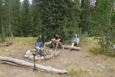
GoPro, take a photo! The three amigos.
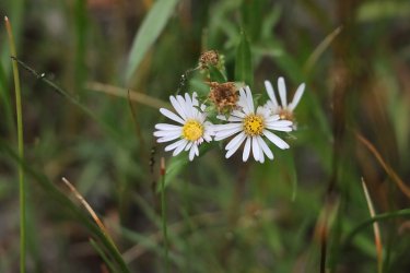
Some fleabane still blooming at camp
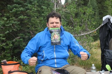
Don't mess with the Money Punch!
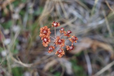
Just about the end for some Sulphur buckwheat. It still looks pretty though.
Day 3 - Day hike to Silver Scarf Creek and then down to Dunanda Falls
@TractorDoc showed off his off-trail skills on this hike as he lead our merry crew through some steep talus on our way to Silver Scarf Creek. We popped out into the Silver Scarf drainage right at the thermal area that lines the creek (just as Dave planned it). This thermal area was very boggy so we didn't give it the same going through as we had the one on Boundary Creek a day earlier. We were content to take some photos and continue to make our way along the contour of the ridge before dropping down to Silver Scarf. Once
on the creek, we ran into a few cascades on our way down before finally running into Silver Scarf Falls. After a break at the falls, we continued on to Dunanda Falls where we took some time to soak in the pools along the creek just below the falls. The small pools are rocked off from the creek itself, but allow creek water and thermal water to mix. This was a great place to relax and watch Boundary Creek come over the falls. Besides the grizzly sighting, this was the highlight of the trip for me.
We also got some some sprinkles in the early morning hours.
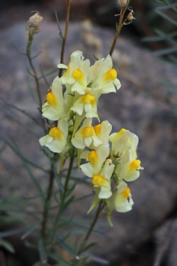
Butter and Eggs (common toadflax) on morning three right by the creek
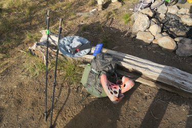
Essential gear for a @TractorDoc led day hike
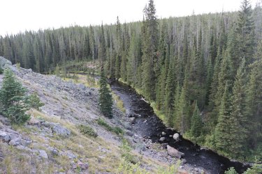
Heading up the talus slope, looking down on Boundary Creek. Did I mention that my right knee hurt?
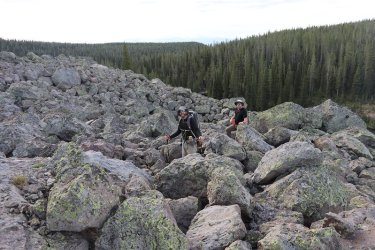
Seemingly enjoying themselves with the rock hopping
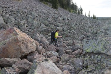
Our fearless leader
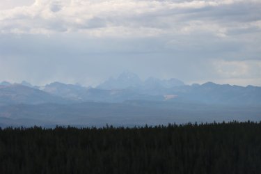
The Tetons came into view as we got higher.
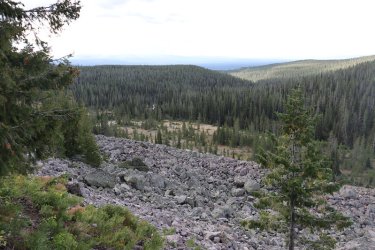
Somewhere out there are the Bechler Meadows
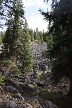
Lord have mercy! Did @Bob design this route?
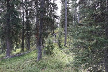
Off the talus and on to normal bushwhacking.
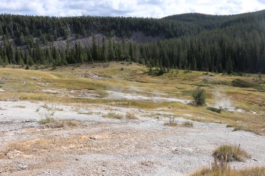
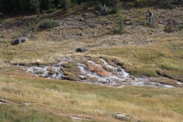
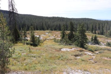
The thermal region along Silver Scarf Creek - very squishy terrain.
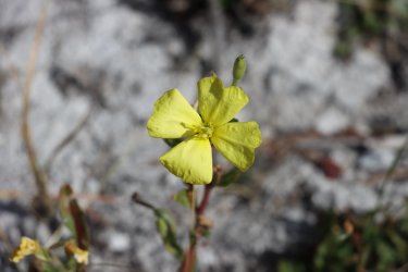
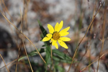
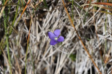
And some bloomers in the thermal area - Primrose, Showy Goldeneye, Hiker's Gentian
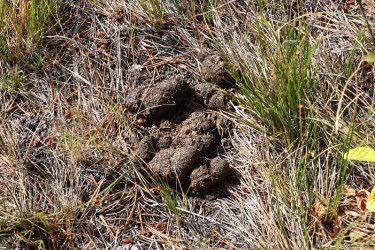
And what do we have here?
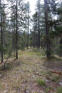
Making our way along the ridge before dropping down to the creek
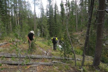
Arriving at the creek
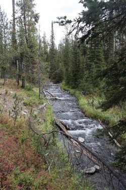
Cascades on Silver Scarf
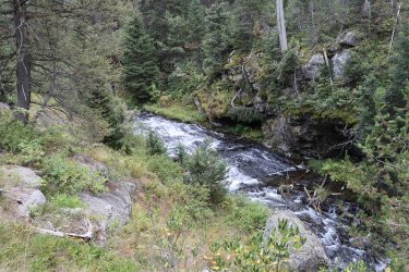
More cascades
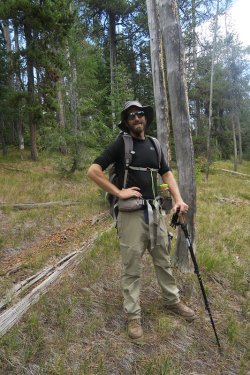
Cody
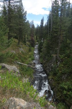
Silver Scarf Creek
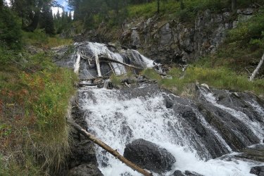
The top of Silver Scarf Falls
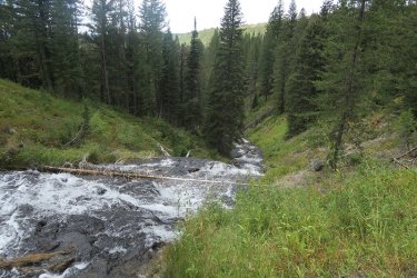
Looking down the falls
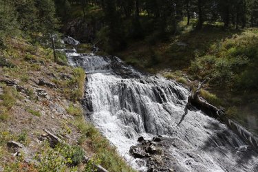
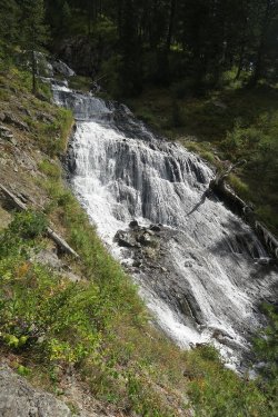
The main segment of the falls
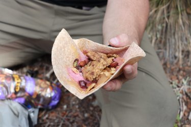
We took a break at the falls, and Patrick rolled out his infamous burrito, consisting of peanut butter, and energy bar, trail mix, and
Gatorade powder.
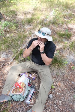
Good to the last bite.
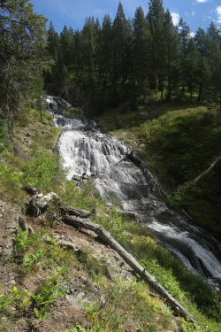
Another view of the falls a little further downstream
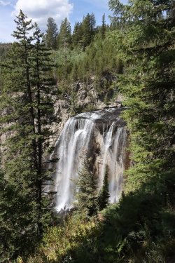
Then on to Dunanada Falls. I took the original trail down to the base of the falls.
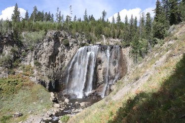
View of the falls from the original trail
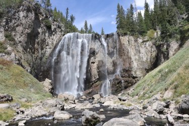
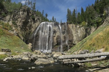
Dunanda Falls
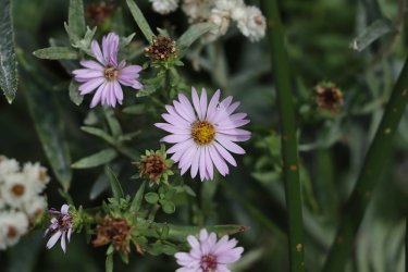
Some asters near the falls
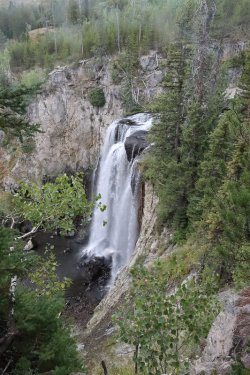
Heading back to camp after a good soak with more Dunanda
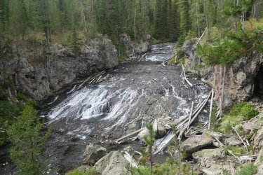
Lots of cascades on Boundary Creek on our way back up to camp
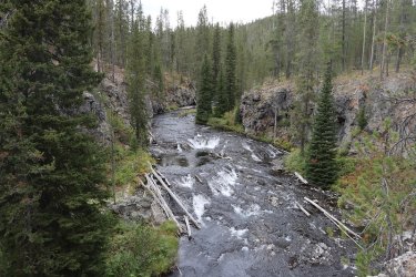
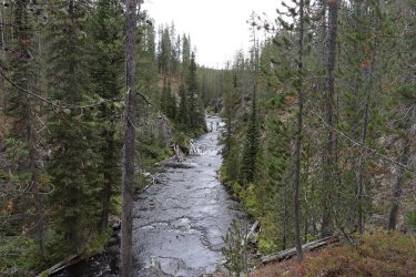
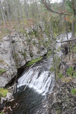
Cascades and falls on Boundary Creek
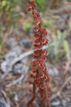
Another fall image
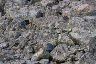
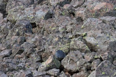
Can you see the Pika?
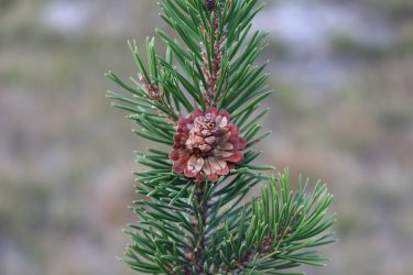
I found this pinecone that was located by our campsite interesting
Day 4 - Talus Terrace campsite to Bechler Meadows
More rain overnight on night number three. We headed downstream from camp and took a break at Dunanda Falls before heading on to the Bechler Meadows. The sky let loose on us a couple of times as we made our way down and across the meadows. We got some hard driving rain and some hail and I retreated to a close group of pine trees to get out of it until it relented. Otherwise, the meadows weren't as soggy as I remembered them, but this was the first time I had been through them in September.
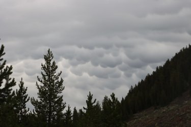
Funky clouds to the north of us as we awoke to day four
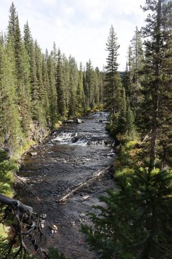
Boundary Creek
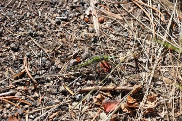
A green dragonfly
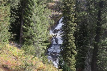
A different view of the bottom of Silver Scarf Falls
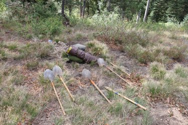
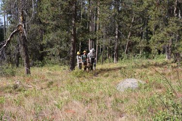
Scatman senses a trail crew nearby.
Carrying a log up the hill to shore up part of the trail
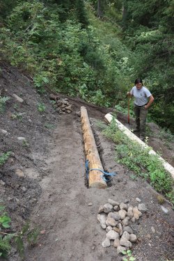
Working on the switchbacks of the new trail to Dunanda Falls.
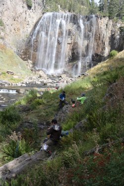
Back at the falls for a snack before moving on. A group of ladies were celebrating one
of the members of the groups birthday with a soak at the falls. See Dave for more
details.
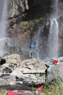
Soaking it all in and a picture or two
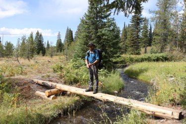
Thanks to the trail crew for the new log bridge
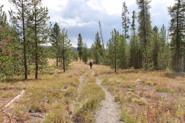
On to the meadows
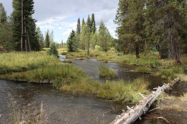
Crossing Silver Scarf Creek
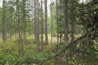
This is where I ducked into the pines for protection from the hail
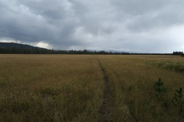
Bechler Meadows proper
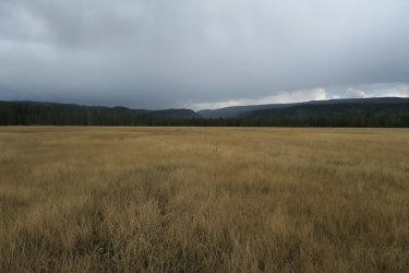
View slightly to the northeast towards the mouth of Bechler Canyon
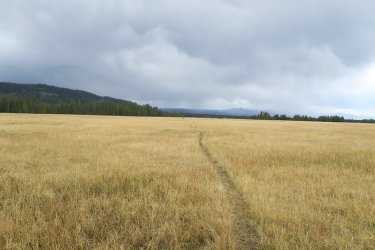
And more meadows and storm clouds looming. Looks like a couple of backpackers ahead.
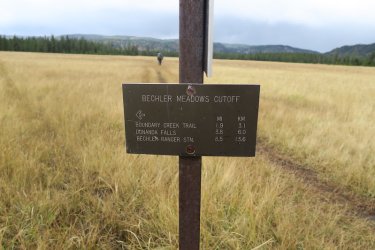
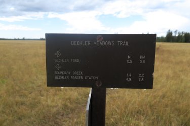
Trail junction signs in the meadow
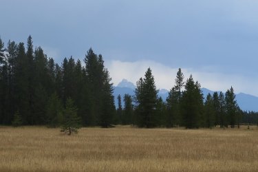
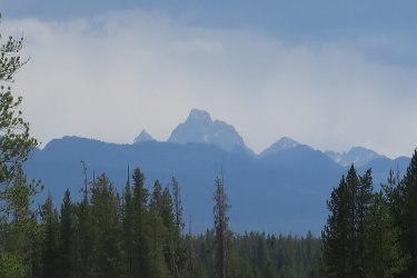
Tetons
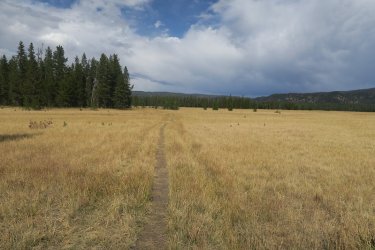
Where'd my backpacking mates go? Old mapless gimpy is lost.
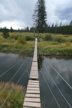
Now I'm back in familiar territory - suspension bridge across Boundary Creek
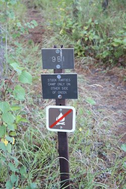
Dooley will have to head across the creek @Rockskipper
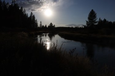
Got my tent set up just before another big rain, and now sunshine on Boundary Creek
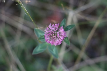
Red clover
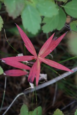
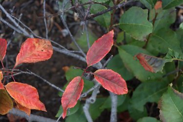
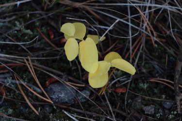
And some fall colors near camp
Day 5 - Lower Boundary Creek Campsite to the Bechler Ranger Station
An easy 4.5 mile hike out to the ranger station was on slate for day five. Dave and I took the longer of two routes back to the ranger station so that we could walk along the Bechler River for awhile. Once back at the ranger station, I went in and reported the grizzly sighting and then it was on to West Yellowstone to meet back up with Bob and his wife for lunch at Hank's Chop Shop.
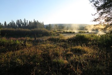
Morning shot into the meadows. It got below freezing this morning.
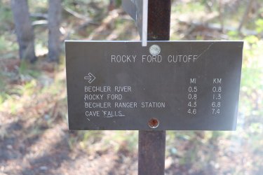
Trail junction
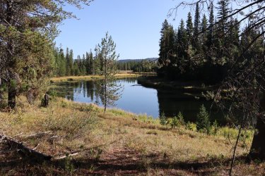
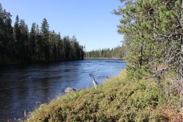
The Bechler River
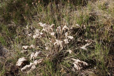
Dried up arrowleaf balsamroot
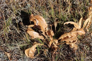
And mule-ears
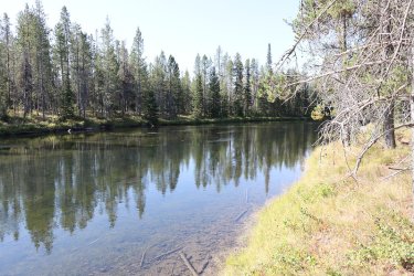
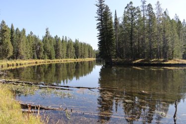
More Bechler River
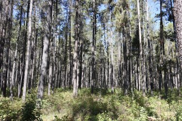
A nice looking lodgepole forest about a half mile from the rangers station
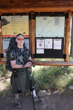
Finni!
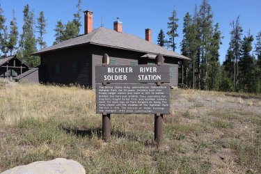
The old soldier station
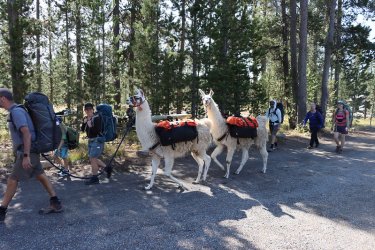
I could have used a couple of these! A group heading in with alpacas.
Back at the Sube!
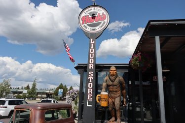
Back at Hank's
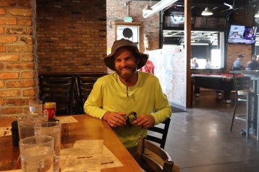
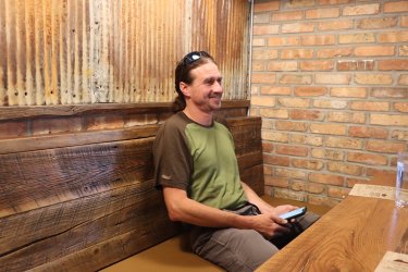
A couple of fine young lads ready for some food.
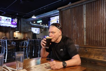
Sucking down a Moose Drool at Hank's, waiting for my medium rare bison burger.
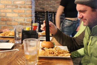
I knew that knife would come in handy for something.
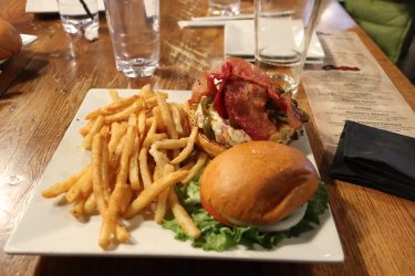
Delicious!
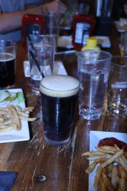
Oh, and don't forget the Cold Smoke.
After lunch, we all said our goodbyes and I headed back to Salt Lake, Bob to Island Park, and Cody, Patrick and Dave to Mammoth.
Another great trip comes to an end. Thanks again to everyone for letting me tag along. And thanks to Bob for the shuttle. I really enjoyed everyone's company along the way. I'm pretty sure I will be returning to Buffalo Lake at some point. I enjoyed the peacefulness of the setting there.
After returning home, I had a scheduled MRI on my right knee, and then it was back up to Yellowstone for my Ice Lake Trip, so you're not quite done with me yet, as much as you wish you were.
The End.
We left the Subaru and @TractorDoc 's rental car at the ranger station and then we all hopped into Bob's truck for the ride north to the Buffalo Lake Trailhead. Bob had decided to join us for the first night at Buffalo Lake before heading back home on day two.
The route from trailhead to trailhead was approximately 24 miles in length, and we also had a roughly 7 mile day hike thrown in for good measure on day three. We ended up staying at campsite 9A5 (Buffalo Lake) our first night, 9A4 (Talus Terrace) for nights two and three, and 9B1 (Lower Boundary Creek) in the Bechler Meadows for night number four.
I was excited for this trip because Buffalo Lake and upper Boundary Creek are two places that I have never been in Yellowstone before.

Trip overview map
Day 1 - Shuttle vehicles, then Buffalo Lake Trailhead to Buffalo Lake
The Buffalo Lake Trailhead is rather inconspicuous as it is unmarked and located at the beginning of an old Forest Service logging road that has long since been abandoned by the FS. They have built up a berm near the start of the road so that folks can't drive further down the road. I'm not sure when the road was last used, but new growth was popping up in the middle of the old road in various sections of the roadway as we made our way towards the Park boundary.
Cody and Patrick got to fire off one of Bob's old bear spray cans before we hiked in to give them a feel for using bear spray. I think they enjoyed it.

The moon over a foggy Old Faithful Inn

I can't pass up a shot of the old buses

A hearty breakfast buffet awaited us at the Old Faithful Inn, and Scatman took full advantage.


A raven begging us not to leave Old Faithful

Upper Mesa Falls

And Lower Mesa Falls

Arriving at the Bechler Ranger Station

The three masterminds contemplating the trip ahead

A quick stop off at Cave Falls before heading on to the Buffalo Lake Trailhead. I had no idea that the cave no longer exists.

A view to the east of the berm at the beginning of the old Forest Service Road. You shall not pass!


Views along the old road as we made our way towards the Park Boundary

At roads end, things begin to open up a bit

Arriving at the Park boundary

Gold on this one! The old West Boundary Trail heading north to the Summit Lake Trail

The patrol cabin at Buffalo Lake. I was told that this was the oldest patrol cabin in the Park having been built in 1915.

More Yellowstone gold! The sign that pointed the way to the Summit Lake Trail, now located at the cabin instead of on the boundary

Let's get this back to where it belongs.

Buffalo Lake

Taking the long way around the lake to campsite 9A5

Our home for the night

Testing out a new tent that I bought years ago on sale but had never used before

Dinner time!

A fitting meal for the @CajunPoncho

These geese would keep us company throughout the night. They were honkers @Rockskipper! Woke me up a couple of times.
Day 2 - Buffalo Lake to Talus Terrace campsite on Boundary Creek
Day two was a short one of about five miles as we made our way down upper Boundary Creek. Bob would leave the group this morning and head back to the trailhead, hopefully exploring some of the West Boundary Trail on the way back to his truck.
My right knee has not been feeling well for awhile now and I quickly fell behind the three amigos, but it turned out to be a plus as they stirred up a grizzly bear that I got to see walk rather briskly along the dry Boundary Creek bed for about 30 feet.
The other highlight of day two was getting to explore the thermal area that the trail passed through. We took a short break to explore the various thermal features the basin
had to offer.
Campsite 9A4 turned out to be a nice site, sitting right on the east side of Boundary Creek, though it was not obvious, at least to us, where the tent sites were supposed to be.

Front view of the cabin on my way to use the pit toilet before leaving 9A5

Bob heading back to the trailhead

Wooded trail at the beginning

Breaking out into the meadows along Boundary Creek (dry at this point)

Dry creek bed

That clearing ahead is where I saw the grizzly go by, just above the creek bed.

Finally some water.


Signs of fall

Harebells were still blooming in September

Arriving at the thermal areas along Boundary Creek


More thermal features

Dave, pointing out where someone used to do research in the area on thermal activity.
Sorry Dave, but I can't remember the gentleman's name.


And back to more exploration

Fording Boundary Creek

Boundary Creek

The Boundary Creek Trail, heading south just before campsite 9A4

We have arrived

Newly constructed bear pole at the site

GoPro, take a photo!

Some fleabane still blooming at camp

Don't mess with the Money Punch!

Just about the end for some Sulphur buckwheat. It still looks pretty though.
Day 3 - Day hike to Silver Scarf Creek and then down to Dunanda Falls
@TractorDoc showed off his off-trail skills on this hike as he lead our merry crew through some steep talus on our way to Silver Scarf Creek. We popped out into the Silver Scarf drainage right at the thermal area that lines the creek (just as Dave planned it). This thermal area was very boggy so we didn't give it the same going through as we had the one on Boundary Creek a day earlier. We were content to take some photos and continue to make our way along the contour of the ridge before dropping down to Silver Scarf. Once
on the creek, we ran into a few cascades on our way down before finally running into Silver Scarf Falls. After a break at the falls, we continued on to Dunanda Falls where we took some time to soak in the pools along the creek just below the falls. The small pools are rocked off from the creek itself, but allow creek water and thermal water to mix. This was a great place to relax and watch Boundary Creek come over the falls. Besides the grizzly sighting, this was the highlight of the trip for me.
We also got some some sprinkles in the early morning hours.

Butter and Eggs (common toadflax) on morning three right by the creek

Essential gear for a @TractorDoc led day hike

Heading up the talus slope, looking down on Boundary Creek. Did I mention that my right knee hurt?

Seemingly enjoying themselves with the rock hopping

Our fearless leader

The Tetons came into view as we got higher.

Somewhere out there are the Bechler Meadows

Lord have mercy! Did @Bob design this route?

Off the talus and on to normal bushwhacking.


The thermal region along Silver Scarf Creek - very squishy terrain.


And some bloomers in the thermal area - Primrose, Showy Goldeneye, Hiker's Gentian

And what do we have here?

Making our way along the ridge before dropping down to the creek

Arriving at the creek

Cascades on Silver Scarf

More cascades

Cody

Silver Scarf Creek

The top of Silver Scarf Falls

Looking down the falls


The main segment of the falls

We took a break at the falls, and Patrick rolled out his infamous burrito, consisting of peanut butter, and energy bar, trail mix, and
Gatorade powder.

Good to the last bite.

Another view of the falls a little further downstream

Then on to Dunanada Falls. I took the original trail down to the base of the falls.

View of the falls from the original trail


Dunanda Falls

Some asters near the falls

Heading back to camp after a good soak with more Dunanda

Lots of cascades on Boundary Creek on our way back up to camp


Cascades and falls on Boundary Creek

Another fall image


Can you see the Pika?

I found this pinecone that was located by our campsite interesting
Day 4 - Talus Terrace campsite to Bechler Meadows
More rain overnight on night number three. We headed downstream from camp and took a break at Dunanda Falls before heading on to the Bechler Meadows. The sky let loose on us a couple of times as we made our way down and across the meadows. We got some hard driving rain and some hail and I retreated to a close group of pine trees to get out of it until it relented. Otherwise, the meadows weren't as soggy as I remembered them, but this was the first time I had been through them in September.

Funky clouds to the north of us as we awoke to day four

Boundary Creek

A green dragonfly

A different view of the bottom of Silver Scarf Falls

Scatman senses a trail crew nearby.

Carrying a log up the hill to shore up part of the trail

Working on the switchbacks of the new trail to Dunanda Falls.

Back at the falls for a snack before moving on. A group of ladies were celebrating one
of the members of the groups birthday with a soak at the falls. See Dave for more
details.

Soaking it all in and a picture or two

Thanks to the trail crew for the new log bridge

On to the meadows

Crossing Silver Scarf Creek

This is where I ducked into the pines for protection from the hail

Bechler Meadows proper

View slightly to the northeast towards the mouth of Bechler Canyon

And more meadows and storm clouds looming. Looks like a couple of backpackers ahead.


Trail junction signs in the meadow


Tetons

Where'd my backpacking mates go? Old mapless gimpy is lost.

Now I'm back in familiar territory - suspension bridge across Boundary Creek

Dooley will have to head across the creek @Rockskipper

Got my tent set up just before another big rain, and now sunshine on Boundary Creek

Red clover


And some fall colors near camp
Day 5 - Lower Boundary Creek Campsite to the Bechler Ranger Station
An easy 4.5 mile hike out to the ranger station was on slate for day five. Dave and I took the longer of two routes back to the ranger station so that we could walk along the Bechler River for awhile. Once back at the ranger station, I went in and reported the grizzly sighting and then it was on to West Yellowstone to meet back up with Bob and his wife for lunch at Hank's Chop Shop.

Morning shot into the meadows. It got below freezing this morning.

Trail junction


The Bechler River

Dried up arrowleaf balsamroot

And mule-ears


More Bechler River

A nice looking lodgepole forest about a half mile from the rangers station

Finni!

The old soldier station

I could have used a couple of these! A group heading in with alpacas.

Back at the Sube!

Back at Hank's


A couple of fine young lads ready for some food.

Sucking down a Moose Drool at Hank's, waiting for my medium rare bison burger.

I knew that knife would come in handy for something.

Delicious!

Oh, and don't forget the Cold Smoke.
After lunch, we all said our goodbyes and I headed back to Salt Lake, Bob to Island Park, and Cody, Patrick and Dave to Mammoth.
Another great trip comes to an end. Thanks again to everyone for letting me tag along. And thanks to Bob for the shuttle. I really enjoyed everyone's company along the way. I'm pretty sure I will be returning to Buffalo Lake at some point. I enjoyed the peacefulness of the setting there.
After returning home, I had a scheduled MRI on my right knee, and then it was back up to Yellowstone for my Ice Lake Trip, so you're not quite done with me yet, as much as you wish you were.
The End.
Last edited:
