John Goering
Member
- Joined
- Sep 30, 2014
- Messages
- 502
The day before we did the Roots trip (June 30), we left our place (in the rain), drove about 20 miles north to Pass Creek, over Flathead Pass, down Flathead Creek Road to MT 86. We took a diversion off 86 onto FS 74 (Fairy Lake Road) and ate lunch on Fairy Creek. The final leg was down Bridger Canyon, through Bozeman, and then home back north along the west side of the Bridger's. A definite quickie trip circumnavigating most of the Range.
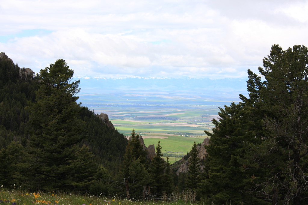
Part way up Pass Creek. The rain had broke. This shot to west with the Tobacco Roots in the distance with Gallatin Valley in the middle.
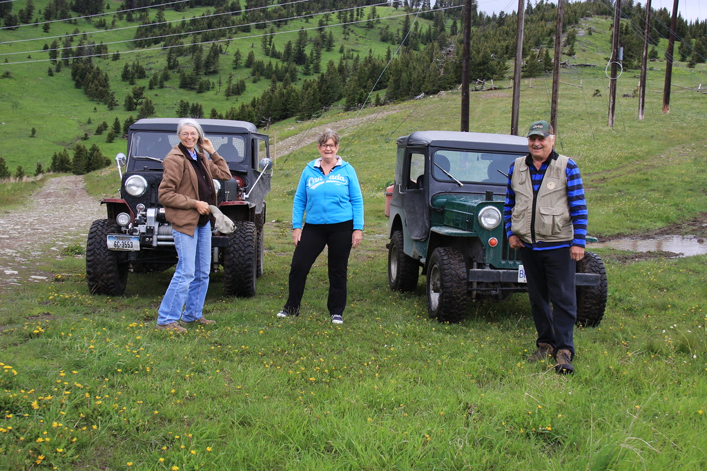
At the pass.
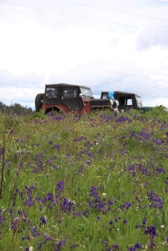
The top of the pass was a sea of Delphinium bicolor, a sheep herder's worst nightmare.
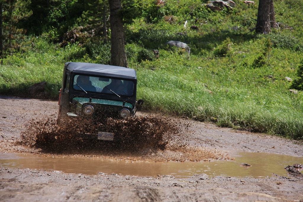
Chuck in a mud puddle of Fairy Lake Road.
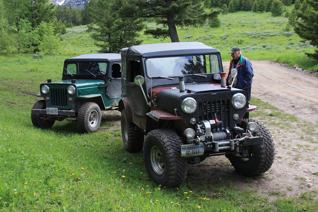
Lunch at Fairy Creek.
It would have been nice getting some more pictures down Bridger Canyon, but the clouds were so low they would have been most of the frame.
Featured image for home page:

Part way up Pass Creek. The rain had broke. This shot to west with the Tobacco Roots in the distance with Gallatin Valley in the middle.
At the pass.
The top of the pass was a sea of Delphinium bicolor, a sheep herder's worst nightmare.
Chuck in a mud puddle of Fairy Lake Road.
Lunch at Fairy Creek.
It would have been nice getting some more pictures down Bridger Canyon, but the clouds were so low they would have been most of the frame.
Featured image for home page:


