- Joined
- Aug 21, 2018
- Messages
- 820
It is never easy to follow up excellent trip reports and photographs posted by @scatman and @b.stark , but I will do my best. 
Hugh's Report: Scatman's version of events
Brent's Report: A Stark perspective
I know Bob took some pictures, if he decides to post them I'll add a link to his contribution.
First, a feature picture if this report should be worthy.
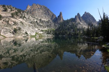
So where to begin? Back in 2025 Bob posted a group message to some usual suspects about possible locations/routes he has in his archives. As everyone likely knows, @Bob has a lot of great ideas - probably the result of a lifetime of wilderness experiences combined with being trapped behind walls of snow for months at a time (what else is he going to do in winter?). I'm looking forward to the coffee table book "Bob's Routes" when it finally gets published. One of his destination options was in the Salmon-Challis National Forest / Frank Church River of No Return Wilderness, specifically the Bighorn Crags. This must have triggered tingles of excitement in Hugh as he cast his vote to explore there. As it often happens, where @scatman goes, others will follow.
Day Zero: Saturday July 25th. Ohio to somewhere along the road in Idaho.
I flew into Idaho Falls airport. Hugh was waiting for me by the baggage claim (I typically carry a lot of baggage) and before long Bob and friend Gary ( @Chuckwalla ) pulled up in Bob's very clean and recently serviced pickup truck. In no time we were cruising down the Idaho byways at a fast clip. I'm not going to say that Bob violated any traffic laws, but the speedometer needle may have been in the 90s at times. Maybe it was just the angle from the backseat.
View of Idaho from the road.
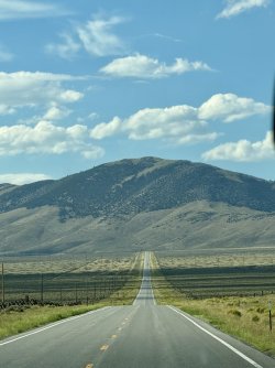
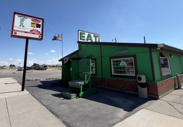
The only thing that may rival Bob's knowledge of routes is his awareness of good local eatery venues that the average passerby might steer clear of. He obviously wanted us to be well fed before hitting the trail, so the first stop was Pickle's Place in Arco. When one sees a building with a pickle on the sign, a giant rocking chair near the front door, and the word "EAT" on the roof, it is usually worth stopping at. This was also where we met up with one @b.stark who drove all the way up from Nebraska just to hang out with us.
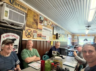
Bob, Gary, Hugh, Brent, me. Gary always seemed to be ready when I tried to take a picture of the group. Bob, Hugh, and Brent had a tendency to look off in other directions.
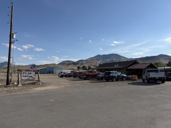
After Arco we stopped at the Real Deal Smokehouse in Challis. Excellent BBQ to be had here.
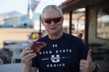
We ordered to go, but Hugh couldn't wait to try the ribs.
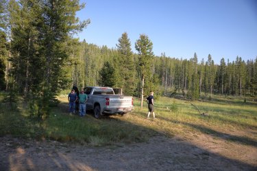
Not long after we left the pavement behind and drove an undetermined distance along lonely gravel roads. As the sun approached the horizon we decided to pull off at a place that seemed suitable to camp.
Surveying the surroundings.
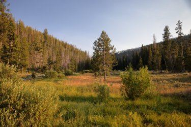
A small creek ran to the left in this picture, and we could see/hear a small herd of cows off to the right.
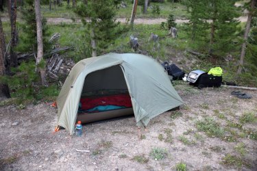
Home for the night. Nothing defines glamourous travel better than dusty suitcases, tents, and random cow patties.
Day 1: Sunday July 26, 2026. Crags Trailhead to Welcome Lake
(And) Nothing gets one up and moving in the morning like the prospect of exploring new terrain in the backcountry. Unless it is a chainsaw or a large off road dump truck. I believe the chainsaw started up at 5:30 am and carried on for a good hour. The roar of the dump truck engine kicked in a little after and it stopped/parked on the gravel road short distance from our camp. We wanted an early start anyway as we still had a good distance of gravel road driving ahead of us. Well, at least Bob and Brent did.
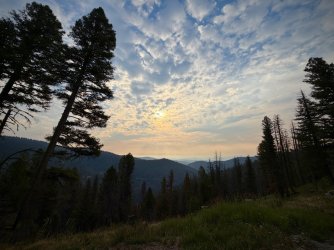
There is a nice viewpoint with some area information about 10 miles from the Crags Trailhead.
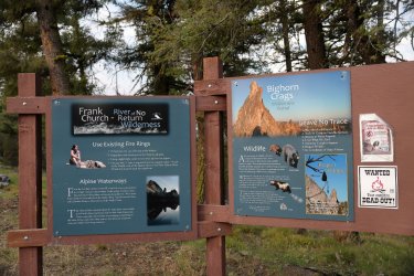
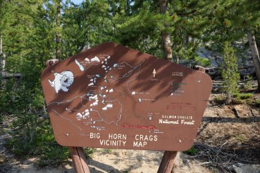
I'd give a high five to whomever designed/created this sign board at the trailhead.
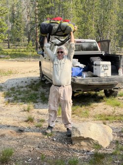
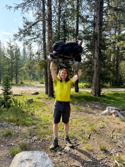
Before hitting the trail comes the feats of strength. If you can lift it, you can haul it.
Group shot at the trailhead. Getting everyone together for a group shot after this was always a challenge. Everyone moved on the trail and in camp at their own pace, so any pictures you see with people from here on out are simply who I was able to catch at the time. Brent was always very fast on the trail. Sometimes Bob and Gary would leave camp ahead of the rest of us. Hugh was a swift mover on the uphills while I was not. I moved quickly on the downhills, while the lack of cartilage in Hugh's knee slowed him down.
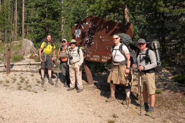
Entering the Wilderness.
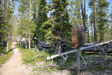
Believe it or not, I took fewer pictures on this trip than I usually do. Probably because I had the GoPro with me and was in video mode. That might mean this trip report has fewer pictures than usual. Maybe.
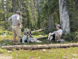
I thought this image was a good example of what one finds on the hike in. There are ups and downs. It gets warm in the sun, but there is the occasional tree to provide shade. Sometimes you see big rocks/granite/a view, sometimes you do not.
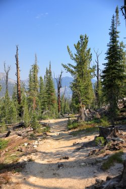
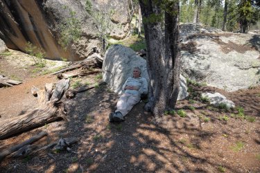
It was about seven miles to camp but that first day always seems to feel longer. Luckily our group was not averse to stopping to take a rest/snack break/nap while on the trail.
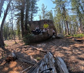
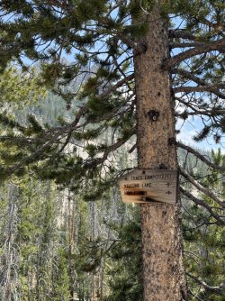
This way to Welcome Lake!
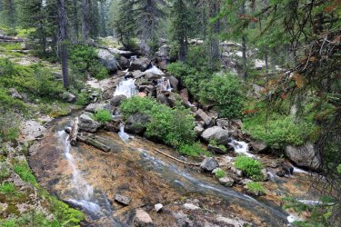
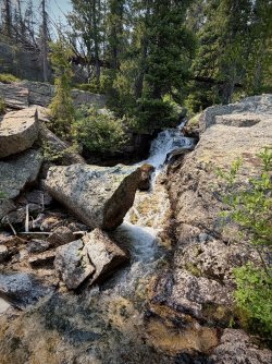
Random off trail waterfalls. These were plentiful if one took the time to follow their ears off trail to the sound of tumbling water.
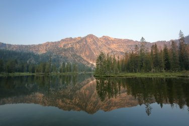
Welcome Lake!
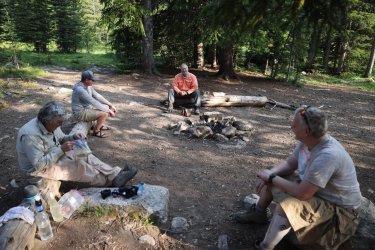
Temperatures were warm enough that we never felt the need for a campfire, even though each campsite tended to have an inviting campfire ring.
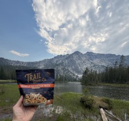
First night's dinner. I know freeze dried meals can be pricey, but I do not get to venture out as often as I like so I'll splurge a little on some backcountry dining options if I think it will enhance the experience. The Trail Goods Company did not disappoint!
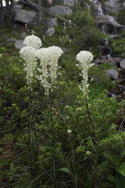
After dinner Hugh and I wandered over to an area that held another "secret" waterfall that had a nice wildflower presence about it. I had not seen beargrass in person since my visit to Glacier NP decades ago. Mosquitoes were out in force in this area and it was not long after that we retreated to the tents for the night.
Day 2: Monday July 27, 2026. Welcome Lake to Reflection Lake.
Morning sun glow on the peak guarding Welcome Lake. The rosy hues probably enhanced by the wildfire smoke in the area.
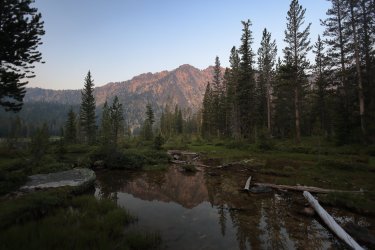
The hike to Reflection Lake was about five miles. It went up then down a ridge, then down a little bit more to the lake.
Easy hiking on cool mornings.
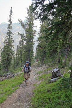
One of the few instances Brent was behind me on the trail. Maybe Hugh was slowing him down.
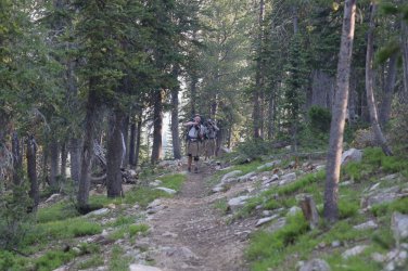
View as we climbed up the ridge. I did not know it yet, but we would get up close to a lot of the rock formations off in the distance.
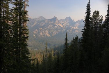
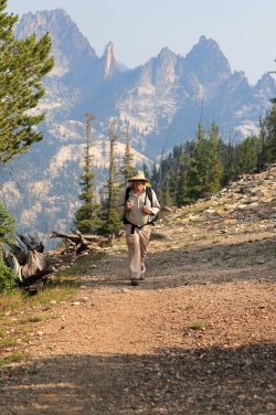
OK, who wins the award for best entrance atop the ridge? Gary, Hugh, or Bob?
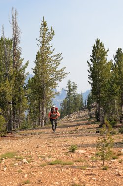
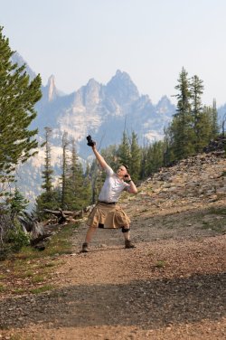
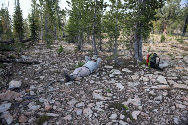
We know who wins the award for most relaxed atop the ridge.
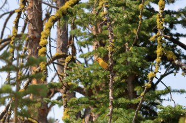
This Western Tanager took a liking to us as we were hiking down.
Walked thru an old avalanche site and a patch of buckwheat at the bottom.
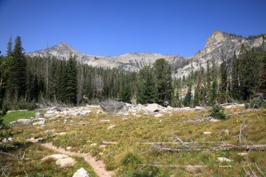
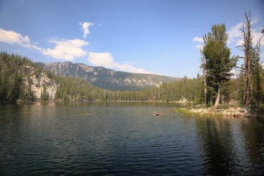
It was breezy at Reflection Lake when we arrived, so no reflections. I took a walk along the southern shore of the lake once settled in to see this viewpoint.
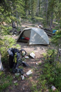
Home for night number two.
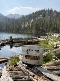
Dinner for night number two. I've tried Beyond meals before and I liked them - Orange Chicken at Reflection Lake!
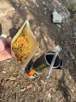
We arrived at camp somewhat early, so there was time to sit on a log and talk. . .
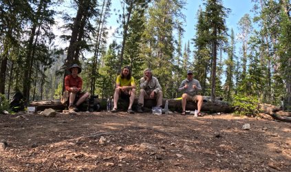
We must not have had a ton to talk about, because I think we went to bed early that night.
Day 3: Tuesday July 28, 2026. Reflection Lake to Heart Lake.
A calm morning finally produced a reflection in Reflection Lake.
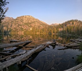
Today we would hike about six and a half miles which included a little off trail fun/adventure. We left Reflection Lake following the same trail we arrived on but jumped off after (a mile and a half?) to climb our way thru the brush to Skyhigh Lake.
The route was not that difficult to navigate - Bob and Hugh have dragged me thru worse - and before we knew it the shore of Skyhigh was at our feet. Our off-trail route would take us over the saddle to the left.
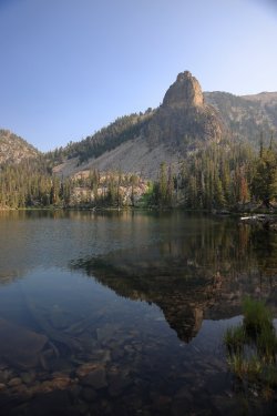
Brent and Bob tested the waters with their fishing poles. . . I'm not sure who won the title for the first, the most, and largest fish.
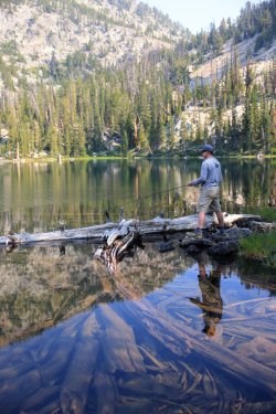
I think Gary had asked Bob if fishing opportunities would be available on this trip. . . and according to Gary Bob said "no." Watching from the sidelines.
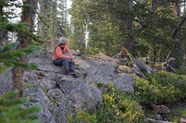
Soon it was time to climb. Brent transformed from trail gazelle to speedy mountain goat as he led the way up the rocky hillside. A look back at Skyhigh Lake and the others.
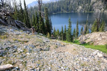
A snowbank was still lingering at the top of the pass and here we can see the source of some of Scatman's power.
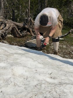
The top was a nice place to hang out for a bit. (Unless you were Gary. He kept motoring on down the other side!)
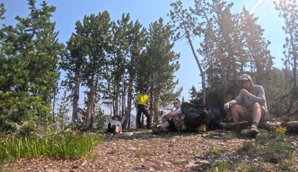
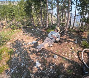
Also a good place for a nap.
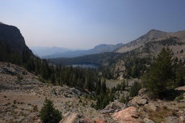
The view back to Skyhigh Lake from the pass. I think this was the smokiest day of the trip, and the smoke was sometimes worse depending on which direction you were looking.
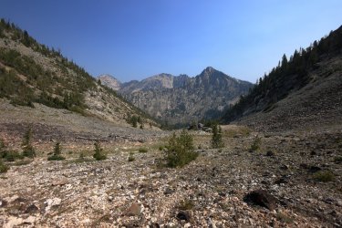
View down the pass. We would descend to Barking Fox Lake below.
Heading down.
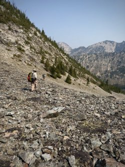
Hugh and Bob making their way towards the bottom.
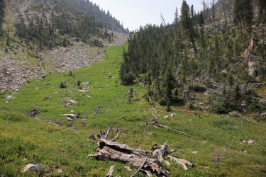
Ready to see what awaits at Barking Fox Lake.
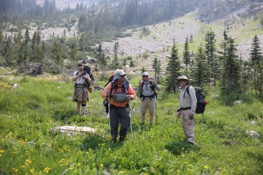
Barking Fox Lake. I thought I heard some barking, but it may have been Gary trying to fool me into thinking some foxes were nearby. GoPro pic on the left, Canon R5 on the right.
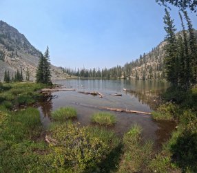
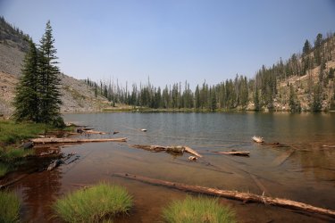
Not far from Barking Fox Lake we rejoined an official trail and worked our way back up to Terrace Lakes. Of course, we took time for a rest and calisthenics before actually hiking on the trail though. I believe Bob was studying our route at this moment and here is where we decided to modify our plan for the night. Instead of camping at Terrace Lakes, we would continue on and find a campsite at Heart Lake instead.
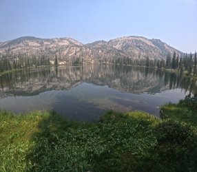
Lower Terrace Lake.
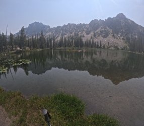
One of the middle Terrace Lakes.
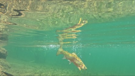
We saw a large fish swim by, so Brent assembled his fishing pole and went to work. He convinced this beauty of a fish to bite, but it slipped off the line before Brent could pull it from the water. It seems GoPros can indeed survive to take pictures/video underwater.
We had to climb another ridge in order to reach Heart Lake. It looked worse standing at the bottom -- whomever designed/graded the trails in this area did an excellent job with making the effort to get to the top feel like it took less effort.
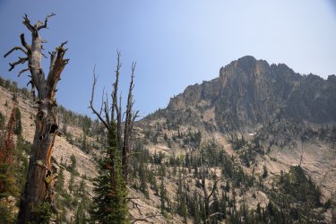
Smokey view of Terrace Lakes.
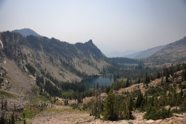
Our destination for the night: Heart Lake.
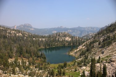
Interesting view of the ridge between Heart and Terrace Lakes.
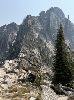
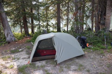
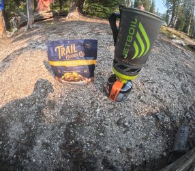
At first I was not too impressed with our campsite options at Heart Lake, but the area grew on me as we settled in and turned out to be quite nice. Home and dinner for the night.
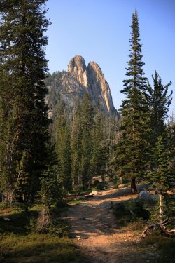
This fine rock feature watched over camp. I think Brent said it was called the Ram's Head or something similar.
Day Four: July 29, 2026. Heart Lake to Birdbill Lake.
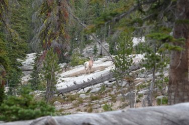
The morning of day four started off with excitement when I heard the sound of something galloping thru our campsite. At first I thought Hugh had mulenapped one of the outfitter's pack mules and was taking it for a joyride. . . but then I saw him standing outside his tent and knew that could not be the case. Turns out it was a lady bighorn sheep that cruised right by Gary and Bob's tent. (Bob claims he did not hear it, but he did not hear the chainsaw on our first morning either).
Hugh and I stalked the sheep for a bit - I also stirred up a deer that was bedded down not far from camp. A hummingbird would later appear as we ate breakfast - it seemed interested in Hugh. . . maybe wanting some nectar from his ear? Pictures of the sheep and deer. Did not get any of the hummer.
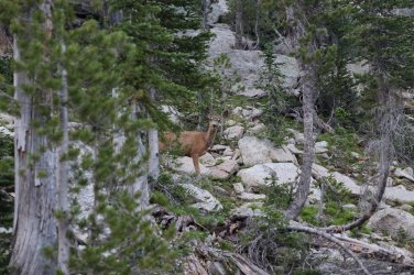
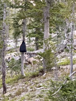
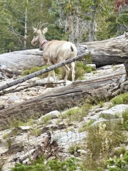
Good reflections in the morning at Heart Lake.
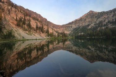
Today's distance would be around five and a half miles, and it would take us back/by Welcome Lake where we spent out first night.
Descending the ridge toward Welcome Lake. Can you see that speck which is Brent out front/leading the way?
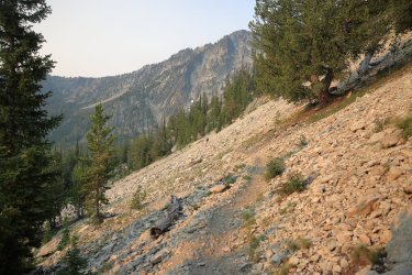
Nice view of the Ram's Head from the valley near Welcome Lake.
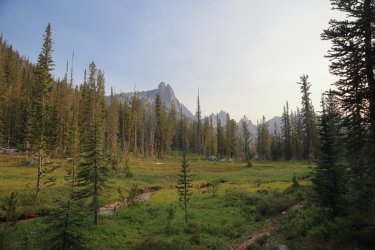
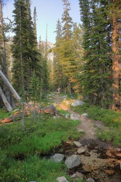
The hike from Welcome Lake to Wilson Lake gains good elevation. This was one of the first times I noted the trail to be on the steep side. This would also be one of my favorite hikes/some of the best scenery (in my opinion) of the entire trip. Hugh on the trail in the trees.
The views open up the higher one goes. I could have spent a night or two at this spot. . . if it was not for the swarms of mosquitoes and colonies of ground squirrels that made the ground feel like a sponge. I bet that waterfall would be a sight to see in spring.
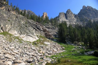
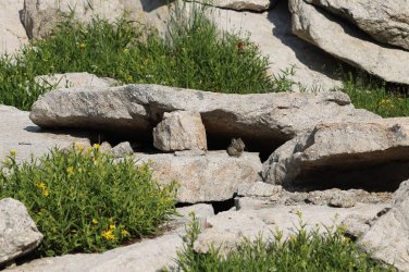
Pika skittered across the rocks at the base of the cliff.
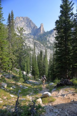
Climbing higher and higher. Bob, Gary, and Brent were well ahead of Hugh and I on this day.
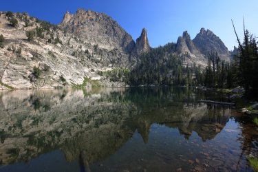
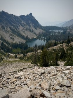
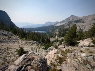
Wilson Lake. If I ever make it back to the Bighorn Crags, I want to stay here.
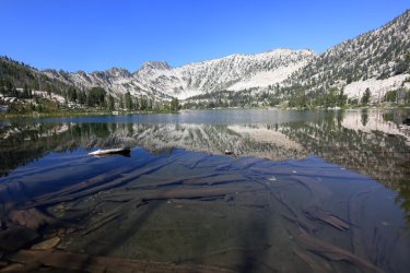
Harbor Lake would be a nice option too.
The trail from Wilson/Harbor Lakes crosses terrain that resembles the Sierra Nevada.
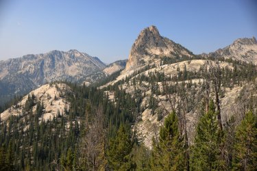
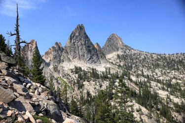
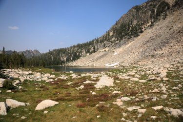
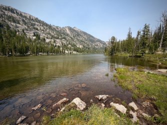
We made it to Birdbill Lake and luckily Bob and Gary selected us a nice campsite. This area was obviously popular and more people would roll in over the afternoon looking for a site. Birdbill Lake.
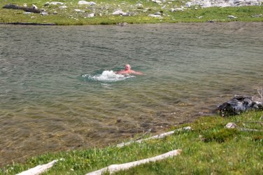
Splish Splash Gary takes a bath.
We took a walk around the lake before dinner. At one end was quite the variety of wildflowers - I showed Hugh how I could take a picture with the cell phone and it would (in most cases) give me the name of the plant. Soon he was wanting to know the name of every flower/leaf/bloom we came across.
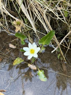
White Marsh Marigold
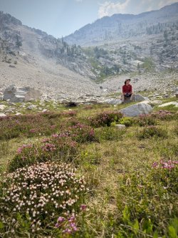
If I had to picture Hugh in a state of contentment, it might look like this.
Not far from Birdbill Lake's outlet was this drainage stream and riot of wildflowers growing around it.
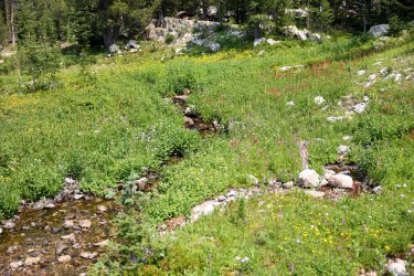
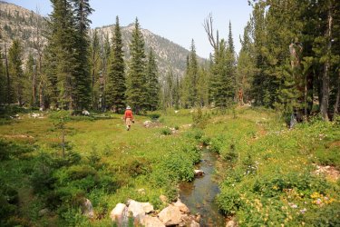
I was so impressed with the scene that I stuck the GoPro in the ground and recorded it. If you are needing an hour or so of water trickling, an occasional breeze blowing, and a palate of wildflower color at the end of your busy work day to relax you here you go:
Not far from the flower garden was Gentian Lake:
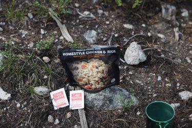
Back at camp dinner was a classic from Peak Refuel: Homestyle Chicken and Rice. Now the last time Hugh had this one, he thought it tasted a little bland. Well, I came prepared. . . after stopping at the local truck stop back home, I spied some "Cajun Sparkle" in the condiment tray at the Popeye's Chicken restaurant. A handful of that went into my pocket and found it's way into the Idaho Wilderness. Homestyle Chicken tastes bland? Add a little Sparkle. Morning oatmeal needs some zip? Add a little Sparkle. Morning coffee not waking you up? (I think you get the idea). I brought enough to share, but as it often happens in these situations the rest of the group did not feel as enthusiastic as I did when it was time to add a little sparkle to their provisions. I can only lead a mule to water, but I cannot make him/her drink.
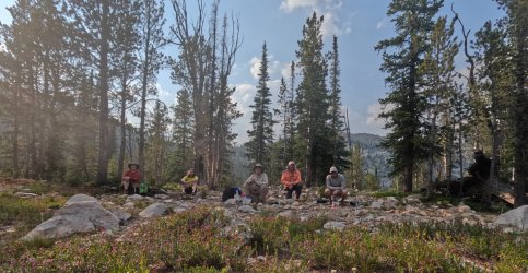
A rare (grainy) group shot in camp at Birdbill Lake.
Day Five: July 30, 2026. Birdbill Lake to Ship Island Lake to Birdbill Lake.
Birdbill would be our campsite for two nights, so day five was the day of the optional day hike. Bob guarded camp while the rest of the group took the out and back hike to Ship Island Lake.
When you see this guy bearing down on you on the trail, you best get out of the way!
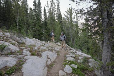
The route to Ship Island takes you down another ridge and past Airplane Lake.
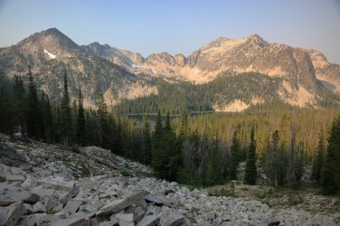
Once past Airplane Lake the trail drops down significantly on its way to Ship Island Lake. The trail is thru mostly wooded terrain, but you can hear the creek at times that runs down from Airplane. The running water had some extra noise associated with it at times, so I would wander off the trail to investigate. Finding this little slice of heaven was just as rewarding as making it to Ship Island.
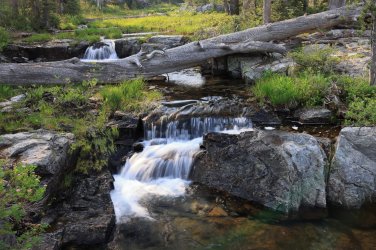
Speaking of Ship Island Lake, this is the view that greets you as you reach the eastern shore.
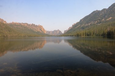
A large waterfall trickles in at the southeast corner, and some colorful columbines were growing there. I did not need the phone app to know what these were.
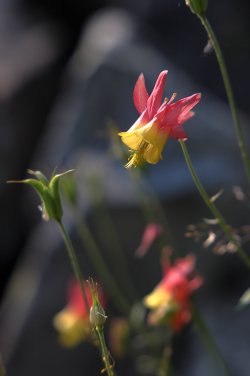
Ship Island was gorgeous. . . and popular. There were a good handful of people here - especially considering how remote this area is. Brent and Gary spent some time at the lake before heading back, but Hugh and I investigated a possible trail on the north shore of the lake and found our way to Ship Island's outlet.
The "trail" to the outlet requires one to be limber.
Rock faces loom larger as you approach the outlet.
Outlet to Ship Island Lake.
Hugh and I walked the granite beyond the outlet and admired the towering canyon walls that guard Ship Island Creek on its way to the Middle Fork of the Salmon River.
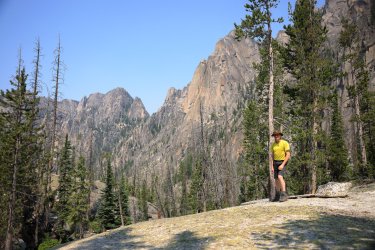
Departing "artsy" shot of Ship Island Lake.
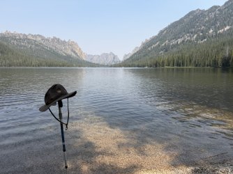
We returned the way we arrived. . . at least until we reached Airplane Lake.
Airplane Lake.
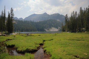
Hugh coaxed me into following an old "mule trail" that supposedly started at the base of Airplane and took us up a more direct route to the top of the ridge we needed to climb anyway. Whether or not we were actually on any kind of trail is questionable at best, but we made our way up the ridge and back to camp in the same state we left in - which is usually good.
I heard thunder rumbles as we reached the top of the ridge, but it just turned out to be some puffy clouds and nothing too menacing.
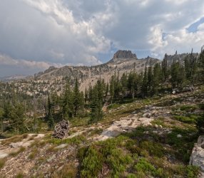
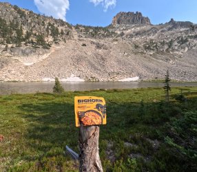
What is the best final dinner to have while in the Bighorn Crags? Something from Bighorn Mountain Food obviously! I've had their Bourbon BBQ before and really like it. No Cajun Sparkle necessary.
Day Six: Friday, July 31, 2026. Birdbill Lake to the Crags Trailhead and eventually Birch Creek CG
Day six would be our hike out to the trailhead day. Eight miles between us and some sort of glorious dinner surprise destination that Bob had been keeping secret from us for months. Brent was motivated on this day. I saw him leave camp but that would be the last time (on the trail) as I think he set some sort of land speed record getting back to his Subaru.
One of the best things about this day was that the smoke had been blown out of the area, opening up the views and providing some vibrant blue skies.
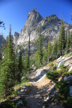
Gorgeous!
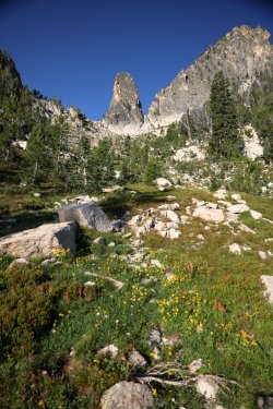
On the way in Hugh noticed another mule trail dropping down a gulley from the pass above Birdbill Lake. It must have been eating at him for days that he did not take that trail down, but by golly he was determined to take that trail back up. Pictured here is the gully and somewhere in there you might be able to spot a Scatman working his way up it. (Spoilers, he made it to the top without incident! )
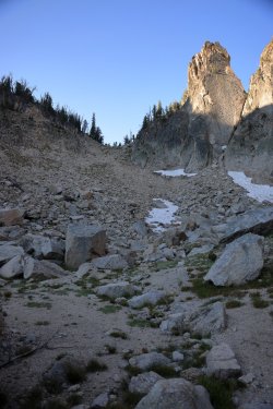
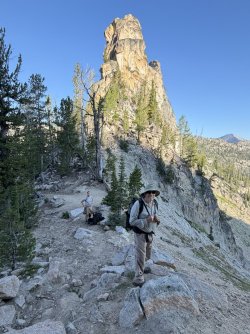
Hugh and Bob, atop the pass. I had been walking the trail normal people use not long before this image and a bighorn sheep jumped right across the trail in front of me. I was all excited because I had the GoPro recording and thought I had captured the moment. . . only to find out later that I had somehow bumped it over to the timelapse setting and missed it.
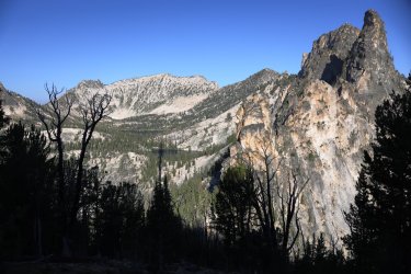
Views of Wilson and Harbor Lakes on our way out.
Comfortable in their surroundings.
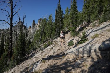
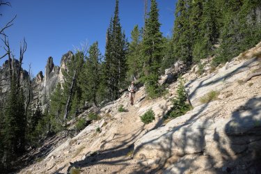
Smokey Mountain Vibes. . .
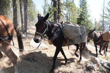
More mules on the way out. Watch out for the Scatman Roger! (Mules have names you know).
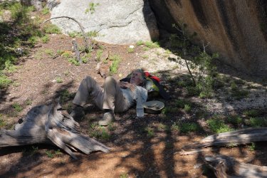
One last rest before the trailhead.
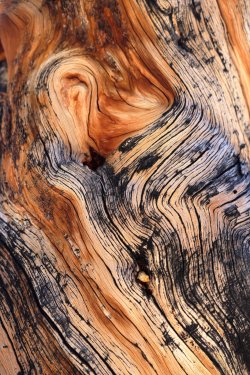
Interesting patterns/colors in a tree on the way out. Could make some interesting desktop wallpaper.
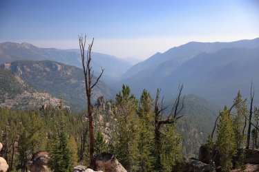
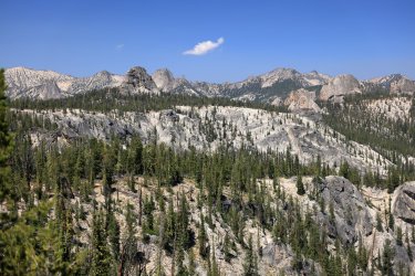
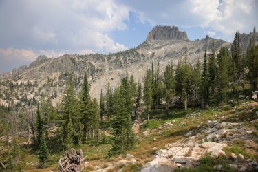
One last view of the Crags. Much better visibility compared to the first day.
So. We made it to the trailhead. Brent had been long gone, but he planned to meet us for dinner later after getting a bath for himself and his Subaru. Bob had good intentions of taking us on a side trip to tour a mining ghost town, but the road conditions were not the best. . . and we ran into a little hiccup.
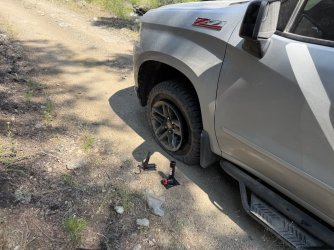
Our group tends to persevere in times of duress though, and we did just that. A change of a tire, backed down a boulder strewn "road," and we were on our way to Bob's surprise dinner venue (as we ran out of time for the ghost town).
Bob's surprise was. . . . The Dusty Mule!
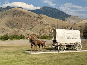
Bob could not have picked out a better place. We caught up with Brent and gorged on beers, nachos, and the largest piece of country fried steak I've ever seen.
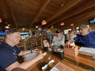
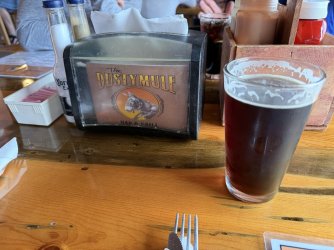
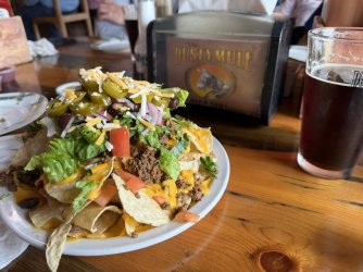
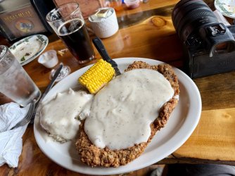
After we rolled ourselves out of the Dusty Mule we said goodbye to Brent as he would be going his own way. The rest of us travelled down to the BLM Birch Creek Campground and stayed there for the night before Bob took us for breakfast the next morning and dropped me back off at the airport.
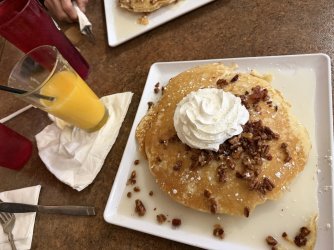
Breakfast at Abracadabras:
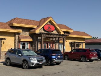
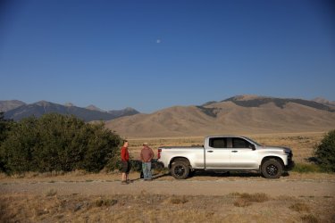
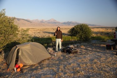
Campsite at the Birch Creek Campground the night before:
All in all, a fantastic trip. Thank You Bob, Hugh, Gary, and Brent for including me and tolerating my just being me. I look forward to another outing together should fate allow it.
Lastly, there is the video.
Sort of an "as it happens" version of events that transpired. If you are tired of flipping thru English dubbed Netflix "C" movies and want something else to watch, here is the chance to spend 70 minutes of your life in the backcountry with us. Even if you don't want to watch the entire feature film, I think it is at least worth your time to watch the intro. It is one of my favorites so far.
Hugh's Report: Scatman's version of events
Brent's Report: A Stark perspective
I know Bob took some pictures, if he decides to post them I'll add a link to his contribution.
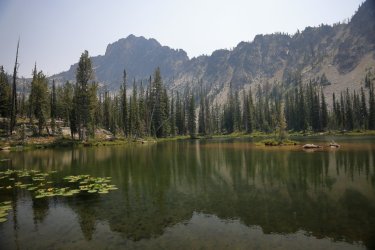
First, a feature picture if this report should be worthy.
So where to begin? Back in 2025 Bob posted a group message to some usual suspects about possible locations/routes he has in his archives. As everyone likely knows, @Bob has a lot of great ideas - probably the result of a lifetime of wilderness experiences combined with being trapped behind walls of snow for months at a time (what else is he going to do in winter?). I'm looking forward to the coffee table book "Bob's Routes" when it finally gets published. One of his destination options was in the Salmon-Challis National Forest / Frank Church River of No Return Wilderness, specifically the Bighorn Crags. This must have triggered tingles of excitement in Hugh as he cast his vote to explore there. As it often happens, where @scatman goes, others will follow.
Day Zero: Saturday July 25th. Ohio to somewhere along the road in Idaho.
I flew into Idaho Falls airport. Hugh was waiting for me by the baggage claim (I typically carry a lot of baggage) and before long Bob and friend Gary ( @Chuckwalla ) pulled up in Bob's very clean and recently serviced pickup truck. In no time we were cruising down the Idaho byways at a fast clip. I'm not going to say that Bob violated any traffic laws, but the speedometer needle may have been in the 90s at times. Maybe it was just the angle from the backseat.
View of Idaho from the road.
The only thing that may rival Bob's knowledge of routes is his awareness of good local eatery venues that the average passerby might steer clear of. He obviously wanted us to be well fed before hitting the trail, so the first stop was Pickle's Place in Arco. When one sees a building with a pickle on the sign, a giant rocking chair near the front door, and the word "EAT" on the roof, it is usually worth stopping at. This was also where we met up with one @b.stark who drove all the way up from Nebraska just to hang out with us.
Bob, Gary, Hugh, Brent, me. Gary always seemed to be ready when I tried to take a picture of the group. Bob, Hugh, and Brent had a tendency to look off in other directions.
After Arco we stopped at the Real Deal Smokehouse in Challis. Excellent BBQ to be had here.
We ordered to go, but Hugh couldn't wait to try the ribs.
Not long after we left the pavement behind and drove an undetermined distance along lonely gravel roads. As the sun approached the horizon we decided to pull off at a place that seemed suitable to camp.
Surveying the surroundings.
A small creek ran to the left in this picture, and we could see/hear a small herd of cows off to the right.
Home for the night. Nothing defines glamourous travel better than dusty suitcases, tents, and random cow patties.
Day 1: Sunday July 26, 2026. Crags Trailhead to Welcome Lake
(And) Nothing gets one up and moving in the morning like the prospect of exploring new terrain in the backcountry. Unless it is a chainsaw or a large off road dump truck. I believe the chainsaw started up at 5:30 am and carried on for a good hour. The roar of the dump truck engine kicked in a little after and it stopped/parked on the gravel road short distance from our camp. We wanted an early start anyway as we still had a good distance of gravel road driving ahead of us. Well, at least Bob and Brent did.
There is a nice viewpoint with some area information about 10 miles from the Crags Trailhead.
I'd give a high five to whomever designed/created this sign board at the trailhead.
Before hitting the trail comes the feats of strength. If you can lift it, you can haul it.
Group shot at the trailhead. Getting everyone together for a group shot after this was always a challenge. Everyone moved on the trail and in camp at their own pace, so any pictures you see with people from here on out are simply who I was able to catch at the time. Brent was always very fast on the trail. Sometimes Bob and Gary would leave camp ahead of the rest of us. Hugh was a swift mover on the uphills while I was not. I moved quickly on the downhills, while the lack of cartilage in Hugh's knee slowed him down.
Entering the Wilderness.
Believe it or not, I took fewer pictures on this trip than I usually do. Probably because I had the GoPro with me and was in video mode. That might mean this trip report has fewer pictures than usual. Maybe.
I thought this image was a good example of what one finds on the hike in. There are ups and downs. It gets warm in the sun, but there is the occasional tree to provide shade. Sometimes you see big rocks/granite/a view, sometimes you do not.
It was about seven miles to camp but that first day always seems to feel longer. Luckily our group was not averse to stopping to take a rest/snack break/nap while on the trail.
This way to Welcome Lake!
Random off trail waterfalls. These were plentiful if one took the time to follow their ears off trail to the sound of tumbling water.
Welcome Lake!
Temperatures were warm enough that we never felt the need for a campfire, even though each campsite tended to have an inviting campfire ring.
First night's dinner. I know freeze dried meals can be pricey, but I do not get to venture out as often as I like so I'll splurge a little on some backcountry dining options if I think it will enhance the experience. The Trail Goods Company did not disappoint!
After dinner Hugh and I wandered over to an area that held another "secret" waterfall that had a nice wildflower presence about it. I had not seen beargrass in person since my visit to Glacier NP decades ago. Mosquitoes were out in force in this area and it was not long after that we retreated to the tents for the night.
Day 2: Monday July 27, 2026. Welcome Lake to Reflection Lake.
Morning sun glow on the peak guarding Welcome Lake. The rosy hues probably enhanced by the wildfire smoke in the area.
The hike to Reflection Lake was about five miles. It went up then down a ridge, then down a little bit more to the lake.
Easy hiking on cool mornings.
One of the few instances Brent was behind me on the trail. Maybe Hugh was slowing him down.
View as we climbed up the ridge. I did not know it yet, but we would get up close to a lot of the rock formations off in the distance.
OK, who wins the award for best entrance atop the ridge? Gary, Hugh, or Bob?
We know who wins the award for most relaxed atop the ridge.
This Western Tanager took a liking to us as we were hiking down.
Walked thru an old avalanche site and a patch of buckwheat at the bottom.
It was breezy at Reflection Lake when we arrived, so no reflections. I took a walk along the southern shore of the lake once settled in to see this viewpoint.
Home for night number two.
Dinner for night number two. I've tried Beyond meals before and I liked them - Orange Chicken at Reflection Lake!
We arrived at camp somewhat early, so there was time to sit on a log and talk. . .
We must not have had a ton to talk about, because I think we went to bed early that night.
Day 3: Tuesday July 28, 2026. Reflection Lake to Heart Lake.
A calm morning finally produced a reflection in Reflection Lake.
Today we would hike about six and a half miles which included a little off trail fun/adventure. We left Reflection Lake following the same trail we arrived on but jumped off after (a mile and a half?) to climb our way thru the brush to Skyhigh Lake.
The route was not that difficult to navigate - Bob and Hugh have dragged me thru worse - and before we knew it the shore of Skyhigh was at our feet. Our off-trail route would take us over the saddle to the left.
Brent and Bob tested the waters with their fishing poles. . . I'm not sure who won the title for the first, the most, and largest fish.
I think Gary had asked Bob if fishing opportunities would be available on this trip. . . and according to Gary Bob said "no." Watching from the sidelines.
Soon it was time to climb. Brent transformed from trail gazelle to speedy mountain goat as he led the way up the rocky hillside. A look back at Skyhigh Lake and the others.
A snowbank was still lingering at the top of the pass and here we can see the source of some of Scatman's power.
The top was a nice place to hang out for a bit. (Unless you were Gary. He kept motoring on down the other side!)
Also a good place for a nap.
The view back to Skyhigh Lake from the pass. I think this was the smokiest day of the trip, and the smoke was sometimes worse depending on which direction you were looking.
View down the pass. We would descend to Barking Fox Lake below.
Heading down.
Hugh and Bob making their way towards the bottom.
Ready to see what awaits at Barking Fox Lake.
Barking Fox Lake. I thought I heard some barking, but it may have been Gary trying to fool me into thinking some foxes were nearby. GoPro pic on the left, Canon R5 on the right.
Not far from Barking Fox Lake we rejoined an official trail and worked our way back up to Terrace Lakes. Of course, we took time for a rest and calisthenics before actually hiking on the trail though. I believe Bob was studying our route at this moment and here is where we decided to modify our plan for the night. Instead of camping at Terrace Lakes, we would continue on and find a campsite at Heart Lake instead.
Lower Terrace Lake.
One of the middle Terrace Lakes.
We saw a large fish swim by, so Brent assembled his fishing pole and went to work. He convinced this beauty of a fish to bite, but it slipped off the line before Brent could pull it from the water. It seems GoPros can indeed survive to take pictures/video underwater.
We had to climb another ridge in order to reach Heart Lake. It looked worse standing at the bottom -- whomever designed/graded the trails in this area did an excellent job with making the effort to get to the top feel like it took less effort.
Smokey view of Terrace Lakes.
Our destination for the night: Heart Lake.
Interesting view of the ridge between Heart and Terrace Lakes.
At first I was not too impressed with our campsite options at Heart Lake, but the area grew on me as we settled in and turned out to be quite nice. Home and dinner for the night.
This fine rock feature watched over camp. I think Brent said it was called the Ram's Head or something similar.
Day Four: July 29, 2026. Heart Lake to Birdbill Lake.
The morning of day four started off with excitement when I heard the sound of something galloping thru our campsite. At first I thought Hugh had mulenapped one of the outfitter's pack mules and was taking it for a joyride. . . but then I saw him standing outside his tent and knew that could not be the case. Turns out it was a lady bighorn sheep that cruised right by Gary and Bob's tent. (Bob claims he did not hear it, but he did not hear the chainsaw on our first morning either).
Hugh and I stalked the sheep for a bit - I also stirred up a deer that was bedded down not far from camp. A hummingbird would later appear as we ate breakfast - it seemed interested in Hugh. . . maybe wanting some nectar from his ear? Pictures of the sheep and deer. Did not get any of the hummer.
Good reflections in the morning at Heart Lake.
Today's distance would be around five and a half miles, and it would take us back/by Welcome Lake where we spent out first night.
Descending the ridge toward Welcome Lake. Can you see that speck which is Brent out front/leading the way?
Nice view of the Ram's Head from the valley near Welcome Lake.
The hike from Welcome Lake to Wilson Lake gains good elevation. This was one of the first times I noted the trail to be on the steep side. This would also be one of my favorite hikes/some of the best scenery (in my opinion) of the entire trip. Hugh on the trail in the trees.
The views open up the higher one goes. I could have spent a night or two at this spot. . . if it was not for the swarms of mosquitoes and colonies of ground squirrels that made the ground feel like a sponge. I bet that waterfall would be a sight to see in spring.
Pika skittered across the rocks at the base of the cliff.
Climbing higher and higher. Bob, Gary, and Brent were well ahead of Hugh and I on this day.
Wilson Lake. If I ever make it back to the Bighorn Crags, I want to stay here.
Harbor Lake would be a nice option too.
The trail from Wilson/Harbor Lakes crosses terrain that resembles the Sierra Nevada.
We made it to Birdbill Lake and luckily Bob and Gary selected us a nice campsite. This area was obviously popular and more people would roll in over the afternoon looking for a site. Birdbill Lake.
Splish Splash Gary takes a bath.
We took a walk around the lake before dinner. At one end was quite the variety of wildflowers - I showed Hugh how I could take a picture with the cell phone and it would (in most cases) give me the name of the plant. Soon he was wanting to know the name of every flower/leaf/bloom we came across.
White Marsh Marigold
If I had to picture Hugh in a state of contentment, it might look like this.
Not far from Birdbill Lake's outlet was this drainage stream and riot of wildflowers growing around it.
I was so impressed with the scene that I stuck the GoPro in the ground and recorded it. If you are needing an hour or so of water trickling, an occasional breeze blowing, and a palate of wildflower color at the end of your busy work day to relax you here you go:
Not far from the flower garden was Gentian Lake:
Back at camp dinner was a classic from Peak Refuel: Homestyle Chicken and Rice. Now the last time Hugh had this one, he thought it tasted a little bland. Well, I came prepared. . . after stopping at the local truck stop back home, I spied some "Cajun Sparkle" in the condiment tray at the Popeye's Chicken restaurant. A handful of that went into my pocket and found it's way into the Idaho Wilderness. Homestyle Chicken tastes bland? Add a little Sparkle. Morning oatmeal needs some zip? Add a little Sparkle. Morning coffee not waking you up? (I think you get the idea). I brought enough to share, but as it often happens in these situations the rest of the group did not feel as enthusiastic as I did when it was time to add a little sparkle to their provisions. I can only lead a mule to water, but I cannot make him/her drink.
A rare (grainy) group shot in camp at Birdbill Lake.
Day Five: July 30, 2026. Birdbill Lake to Ship Island Lake to Birdbill Lake.
Birdbill would be our campsite for two nights, so day five was the day of the optional day hike. Bob guarded camp while the rest of the group took the out and back hike to Ship Island Lake.
When you see this guy bearing down on you on the trail, you best get out of the way!
The route to Ship Island takes you down another ridge and past Airplane Lake.
Once past Airplane Lake the trail drops down significantly on its way to Ship Island Lake. The trail is thru mostly wooded terrain, but you can hear the creek at times that runs down from Airplane. The running water had some extra noise associated with it at times, so I would wander off the trail to investigate. Finding this little slice of heaven was just as rewarding as making it to Ship Island.
Speaking of Ship Island Lake, this is the view that greets you as you reach the eastern shore.
A large waterfall trickles in at the southeast corner, and some colorful columbines were growing there. I did not need the phone app to know what these were.
Ship Island was gorgeous. . . and popular. There were a good handful of people here - especially considering how remote this area is. Brent and Gary spent some time at the lake before heading back, but Hugh and I investigated a possible trail on the north shore of the lake and found our way to Ship Island's outlet.
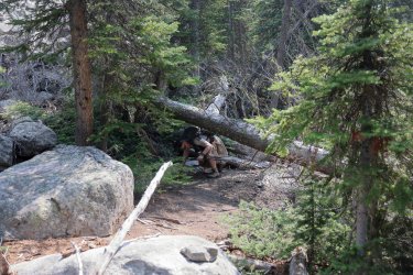
The "trail" to the outlet requires one to be limber.
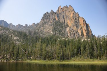
Rock faces loom larger as you approach the outlet.
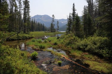
Outlet to Ship Island Lake.
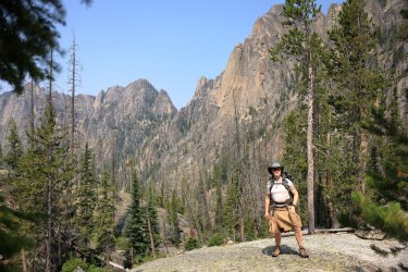
Hugh and I walked the granite beyond the outlet and admired the towering canyon walls that guard Ship Island Creek on its way to the Middle Fork of the Salmon River.
Departing "artsy" shot of Ship Island Lake.
We returned the way we arrived. . . at least until we reached Airplane Lake.
Airplane Lake.
Hugh coaxed me into following an old "mule trail" that supposedly started at the base of Airplane and took us up a more direct route to the top of the ridge we needed to climb anyway. Whether or not we were actually on any kind of trail is questionable at best, but we made our way up the ridge and back to camp in the same state we left in - which is usually good.
I heard thunder rumbles as we reached the top of the ridge, but it just turned out to be some puffy clouds and nothing too menacing.
What is the best final dinner to have while in the Bighorn Crags? Something from Bighorn Mountain Food obviously! I've had their Bourbon BBQ before and really like it. No Cajun Sparkle necessary.
Day Six: Friday, July 31, 2026. Birdbill Lake to the Crags Trailhead and eventually Birch Creek CG
Day six would be our hike out to the trailhead day. Eight miles between us and some sort of glorious dinner surprise destination that Bob had been keeping secret from us for months. Brent was motivated on this day. I saw him leave camp but that would be the last time (on the trail) as I think he set some sort of land speed record getting back to his Subaru.
One of the best things about this day was that the smoke had been blown out of the area, opening up the views and providing some vibrant blue skies.
Gorgeous!
On the way in Hugh noticed another mule trail dropping down a gulley from the pass above Birdbill Lake. It must have been eating at him for days that he did not take that trail down, but by golly he was determined to take that trail back up. Pictured here is the gully and somewhere in there you might be able to spot a Scatman working his way up it. (Spoilers, he made it to the top without incident!
)Hugh and Bob, atop the pass. I had been walking the trail normal people use not long before this image and a bighorn sheep jumped right across the trail in front of me. I was all excited because I had the GoPro recording and thought I had captured the moment. . . only to find out later that I had somehow bumped it over to the timelapse setting and missed it.
Views of Wilson and Harbor Lakes on our way out.
Comfortable in their surroundings.
Smokey Mountain Vibes. . .
More mules on the way out. Watch out for the Scatman Roger! (Mules have names you know).
One last rest before the trailhead.
Interesting patterns/colors in a tree on the way out. Could make some interesting desktop wallpaper.
One last view of the Crags. Much better visibility compared to the first day.
So. We made it to the trailhead. Brent had been long gone, but he planned to meet us for dinner later after getting a bath for himself and his Subaru. Bob had good intentions of taking us on a side trip to tour a mining ghost town, but the road conditions were not the best. . . and we ran into a little hiccup.
Our group tends to persevere in times of duress though, and we did just that. A change of a tire, backed down a boulder strewn "road," and we were on our way to Bob's surprise dinner venue (as we ran out of time for the ghost town).
Bob's surprise was. . . . The Dusty Mule!
Bob could not have picked out a better place. We caught up with Brent and gorged on beers, nachos, and the largest piece of country fried steak I've ever seen.
After we rolled ourselves out of the Dusty Mule we said goodbye to Brent as he would be going his own way. The rest of us travelled down to the BLM Birch Creek Campground and stayed there for the night before Bob took us for breakfast the next morning and dropped me back off at the airport.
Breakfast at Abracadabras:
Campsite at the Birch Creek Campground the night before:
All in all, a fantastic trip. Thank You Bob, Hugh, Gary, and Brent for including me and tolerating my just being me. I look forward to another outing together should fate allow it.
Lastly, there is the video.
Sort of an "as it happens" version of events that transpired. If you are tired of flipping thru English dubbed Netflix "C" movies and want something else to watch, here is the chance to spend 70 minutes of your life in the backcountry with us. Even if you don't want to watch the entire feature film, I think it is at least worth your time to watch the intro. It is one of my favorites so far.
Attachments
Last edited: