- Joined
- Dec 23, 2013
- Messages
- 4,664
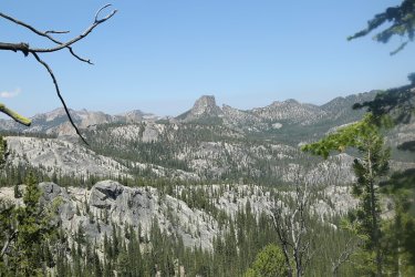
Last week, I completed a six day backpacking trip into the Bighorn Crags in Idaho. It was my first time to the Crags, and joining me on this merry adventure were @Bob, @b.stark, @TractorDoc, and @Chuckwalla. While the Crags are beautiful, conditions were smoky for the six day we were back in there and thus there will be some hazy pictures throughout this report.
Besides the backpacking itself, we got to spend some enjoyable time in Arco and Challis on our way up, and on our way back, attempted to see an old ghost town, checked out a wonderful Bar and Grill in Elk Bend for dinner before heading back through Salmon and on to Birch Creek to camp for one last night.
Here's my story and I swear that everything is true.
Review Image:
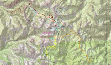
Trip Overview Map
Getting There:
Sometimes half the fun of the trip is just getting to the trailhead. Individuals in our group came from all over the country - Nebraska, Idaho, Utah, Arizona and Ohio. Bob, Gary and I met up with Dave at the Idaho Falls Regional Airport before heading off to meet Brent at the Pickle's Place in Arco for a bite to eat. Interestingly, Arco is the first town to be completely powered by nuclear energy back in the day.
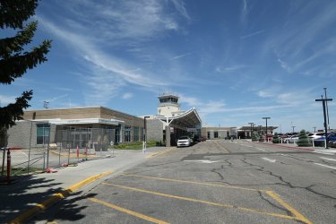
Idaho Falls Regional Airport. I parked the Sube in long term parking for our trip, and Bob and Gary drove in from Island Park to
pick up Dave and myself and drive us to the trailhead.
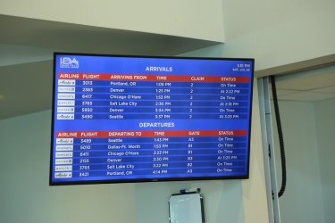
Of course, @TractorDoc's connection flight from Denver was late.
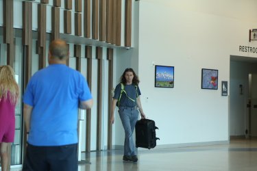
The man, the myth, the legend!
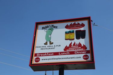
Oh, this has potential.
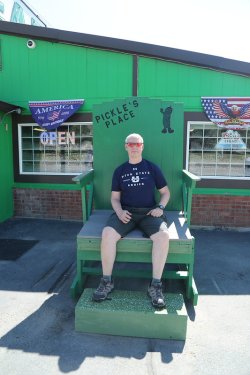
Anytime you get the opportunity to sit in the Pickle Chair, you take it.
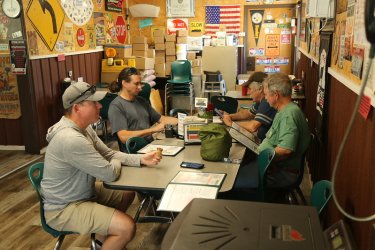
The crew. Somebody is already munching on an ice cream cone.
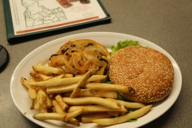
I had the Atomic Burger and fries.
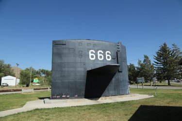
Kitty corner from the Pickle's Place was a small town park that had this submarine sail in it which was kind of neat.
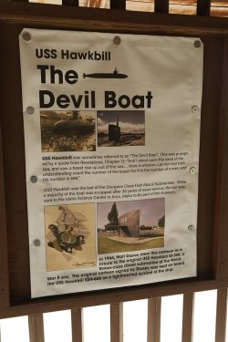
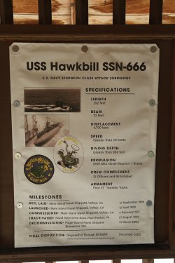
Some info about the sub.
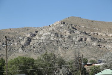
Different years of high school classes painted on the cliffs above town.
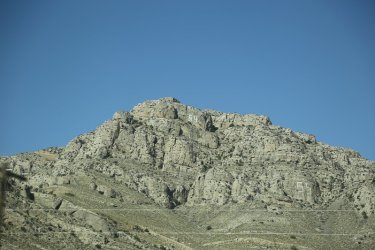
'64 - A very good year! Scatman's birth.
After leaving Arco, our next stop would be Challis
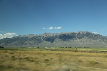
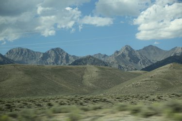
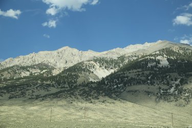
The Lost River Range intrigued me along our way. It might be worth exploring in the future.
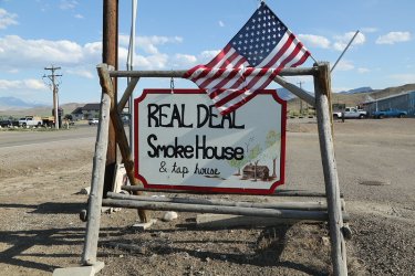
Of course, once we arrived in Challis we had to stop at the Real Deal SmokeHouse
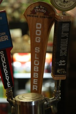
Sounds tasty
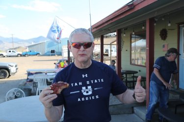
I split a half rack of ribs with Bob and am giving it the Scatman's thumb up approval. Bob's in the background getting some crucial
information from the locals.
Just a few miles north of Challis, we turned off onto a Forest Service Road that would eventually lead us to the Bighorn Crags Trailhead. We stopped and camped for the night well short of the trailhead, then got up the next morning and drove the rest of the way to get started.
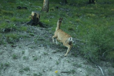
We saw a few deer along the road.
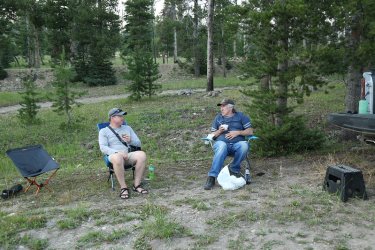
Our camp for the night
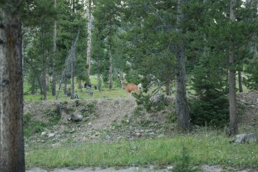
Deer at camp
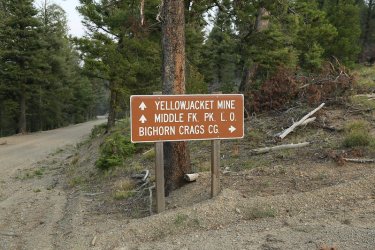
The next morning we got up and headed on to the trailhead. Which way to go? Right Watson right.
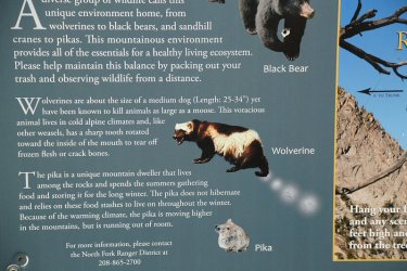
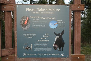
Info signs at the intersection. Wolverines in the Frank Church!
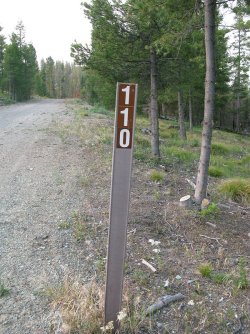
FS Road 110 is what we want
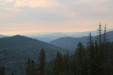
Looks a lot like the Smoky Mountains to me.
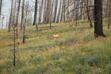
More deer as we get closer to the trailhead.
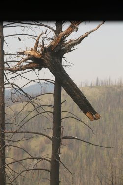
Someone please explain this to me.
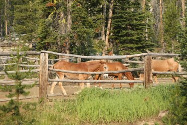
Mules! Any trip that includes mules is a good trip. Goes without saying.
Day 1 - Bighorn Crags Trailhead to Welcome Lake.
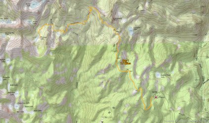
Overview Map - Day 1
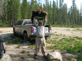
Feats of strength! Bob weighed everyone's packs and I think his came in at like a ridiculous 26 pounds. Mine was 46 and if you
add the 5 pound of camera gear we'll call it 51 pounds.
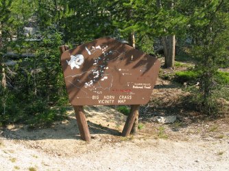
Vicinity Map at the trailhead
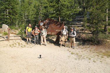
Scallywags, nincompoops and marauders! Watchout warry souls of the backcountry!
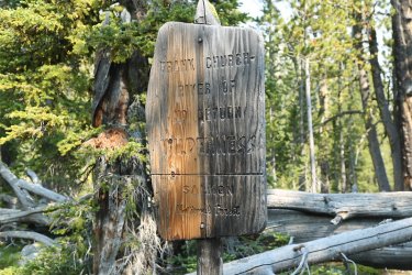
Reaching the wilderness boundary
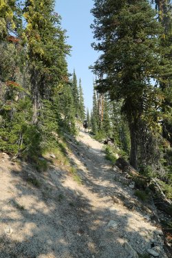
@b.stark and @TractorDoc were out in front. I could have sworn somebody said that
there were no hills on this trip.
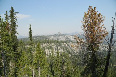
First hazy sightings of the Crags
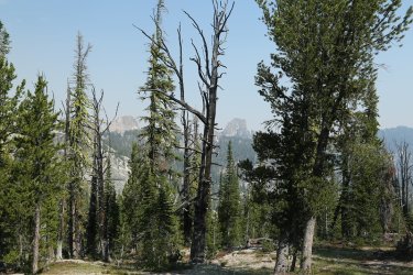
More crags ahead
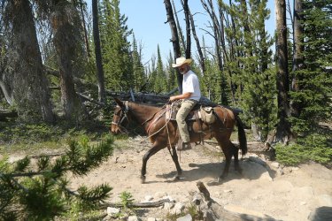
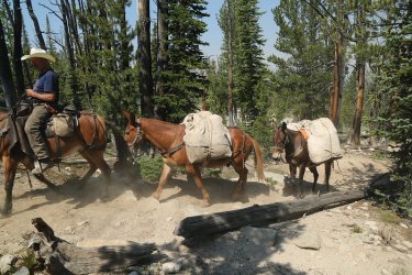
Mule train! A common occurrence over our six days. I've died and gone to heaven @Rockskipper !
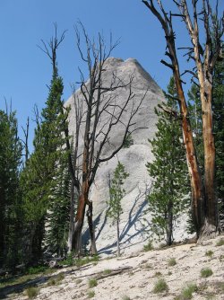
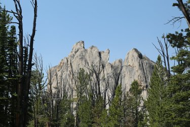
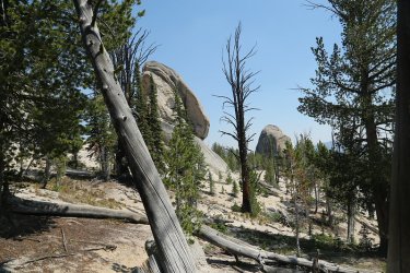
More crags as we pass by on our way to Welcome Lake
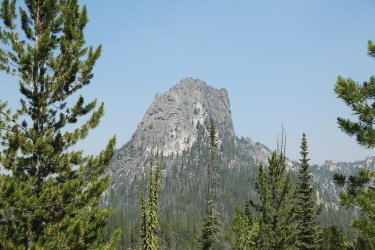
I think this is Cathedral Rock? One of the scallywags, nincompoops or marauders will have to confirm.
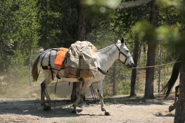
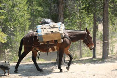
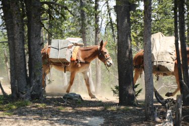
More mules! @Rockskipper , did I mention that I might have died and gone to heaven?
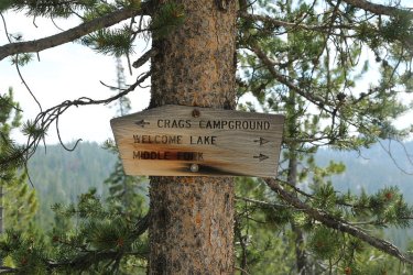
Stay right young man, stay right.
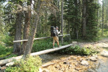
The ever light of foot Brent crossing Wilson Creek
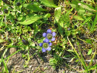
What's one of my trip reports without wildflowers. Gentian I presume.
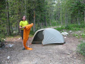
Dave with the crinkle monster. Setting up camp at Welcome Lake
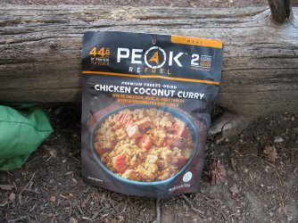
Dinner for the night
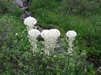
Beargrass
Day 2 - Welcome Lake to Reflection Lake
Short day from welcome down to Reflection. Smoky is the theme for the day.
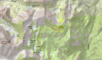
Overview Map - Day 2
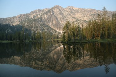
Welcome Lake in the morning - Peak 9573 above and below
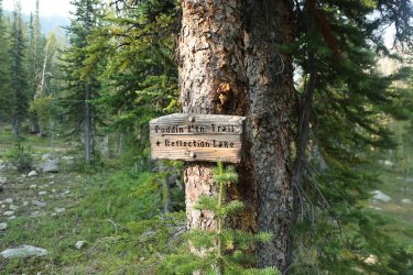
Puddin' Mtn. - My kind of name - Puddin' Head!
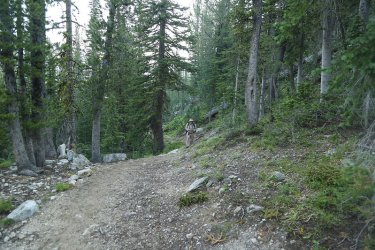
Bob, on his way up and over the next pass
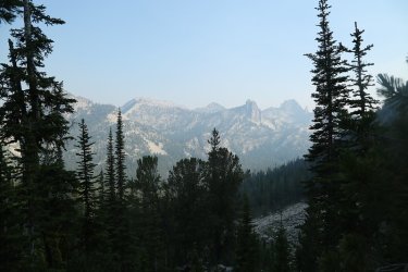
Hazy shot looking deeper into the Crags
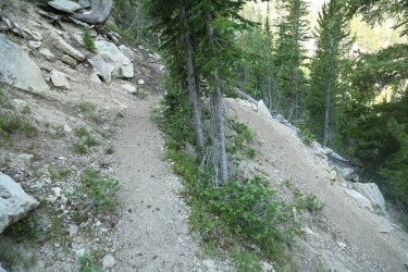
Lots of long, gradual switchbacks in the Bighorn Crags. Very nice.
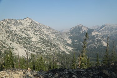
Welcome Lake below with peaks 9676 and 9573 across the way
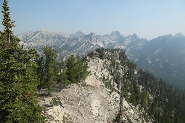
Headed out the ridge from the pass to get this shot to the north
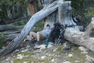
This man knows how to take a break.
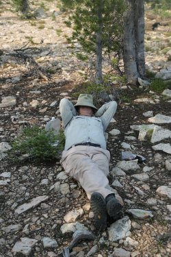
The Bob pose, a new yoga pose, but only for the experienced yoga master.
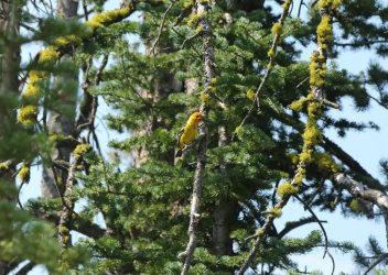
A Western Tanager checking us out
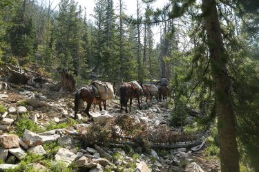
You got it, more mules! Heading out towards Welcome
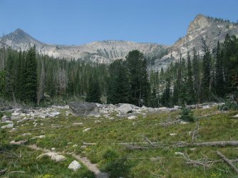
Beautiful down in the drainage where Reflection Lake is located.
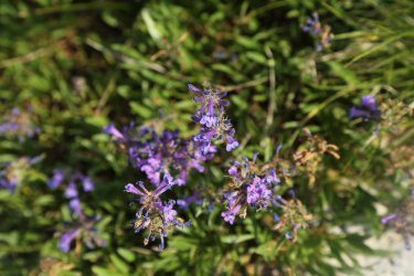
Sulphur Penstemon
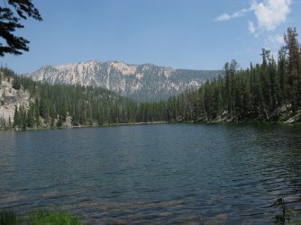
Reflection Lake
Day 3 - Reflection Lake to Heart Lake
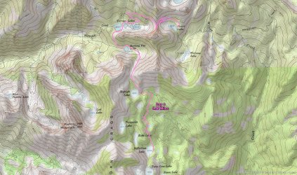
Overview Map - Day 3
A couple of passes to cross on day three and multiple lakes to pass by. The first pass we crossed was an off-trail route to a pass we called "All Sun Pass." We then dropped down to Barking Fox Lake before rounding the bend to reach Terrace Lakes which had some big fish. After Terrace Lakes, we made our way up and over an unnamed pass before dropping down to Heart Lake.
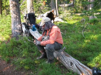
Taking a break before heading off tail to Skyhigh Lake and on to All Sun Pass
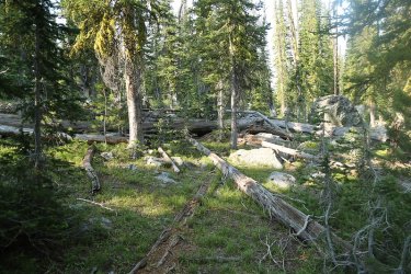
Let the bushwhack begin
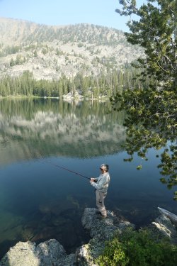
Bob, seeing how his luck goes at Skyhigh
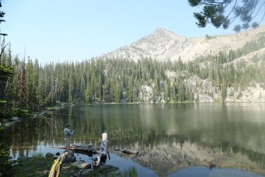
Brent casting at Skyhigh
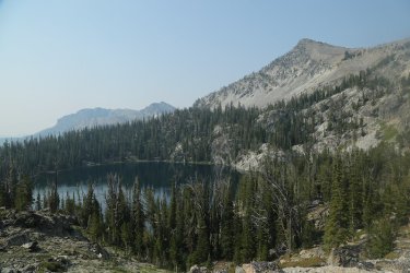
Looking back down at Skyhigh Lake as we head up to the pass
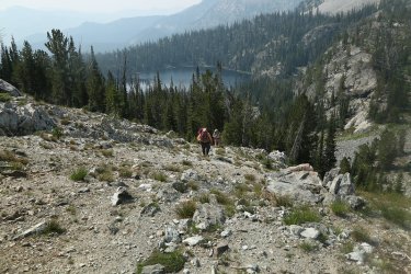
Bob and Gary heading up the pass
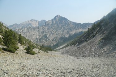
View down the north side of All Sun Pass with unnamed peak 9573 ahead. It's the same peak on the west side of Welcome Lake
two days earlier.
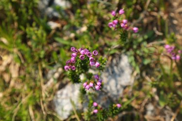
Pink Mountain-heather
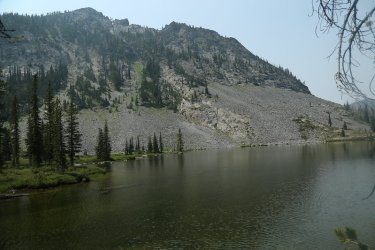
Barking Fox Lake
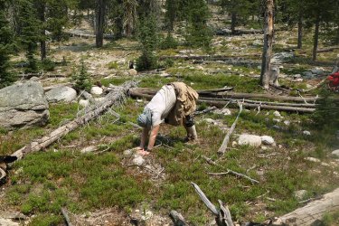
Downward Dog
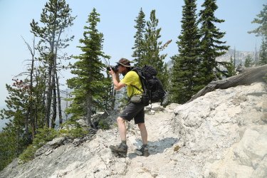
Dave, getting a good shot
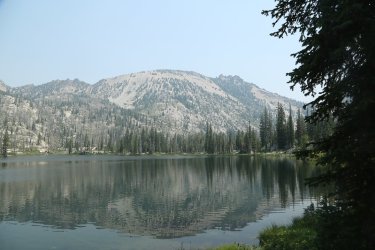
The first Terrace Lake
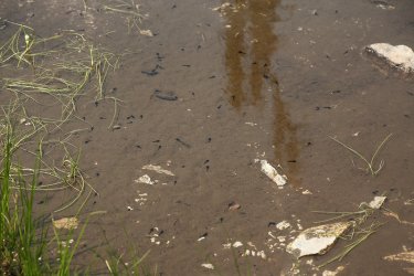
Polliwogs between the lakes
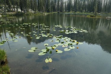
Lily pads
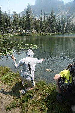
Brent about to land the big one.
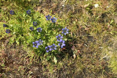
More Gentian
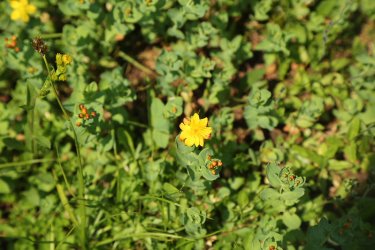
St. Johnswort
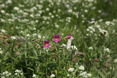
Monkey Flower
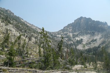
The pass that we need to go up and over
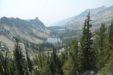
Looking back down at the Terrace Lakes
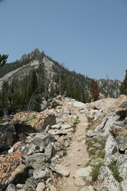
Reaching the pass
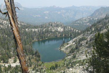
View down the other side of the pass to Heart Lake below
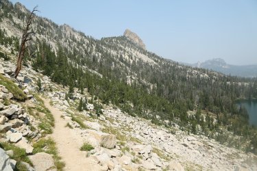
Fishfin Ridge poking out above
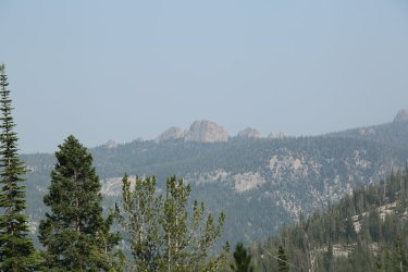
The north side of the crags we passed by on our first day heading to Welcome Lake
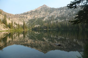
Heart Lake
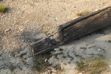
Where Bob and Gary set up there tents, there used to be an old cabin with numerous notched logs present
Day 4 - Heart Lake to Birdbill Lake
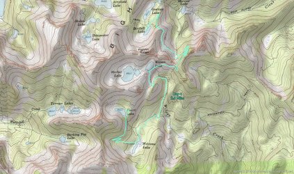
Overview Map - Day 5
Today's hike would take us from Heart Lake, back down to Welcome Lake and then onto Birdbill Lake, dropping in on Wilson and Harbor Lakes along our way.
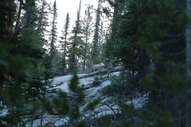
A Bighorn sheep came through our camp at Heart Lake early in the morning
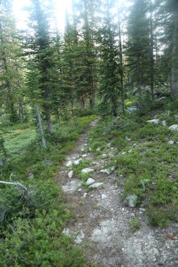
Okay @Rockskipper, the old mule trail down to Welcome Lake
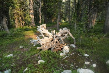
The other end (Welcome Lake end) of the old mule trail
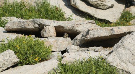
A pika along our way
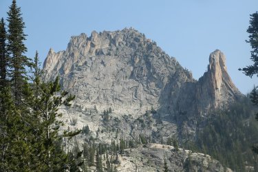
Approaching Fishfin Ridge
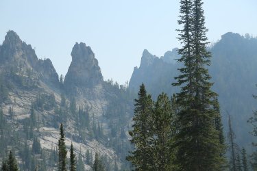
The pass (Beaver Slide Pass) in the middle of the shot has an old mule trail that runs straight up the slope to the pass and then runs
straight down the other side.
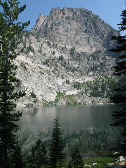
Wilson Lake
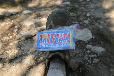
Oh boy! I'm getting antsy for some chocolonlely.
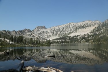
Harbor Lake
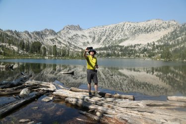
Selfie at Harbor Lake
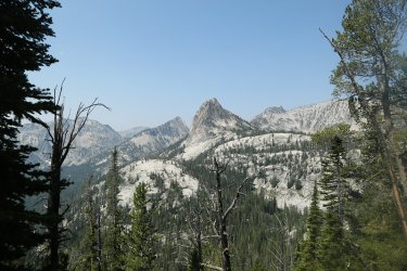
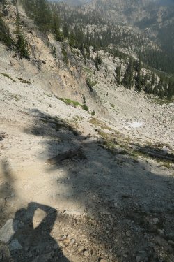
The old mule trail down the north side of Beaver Slide Pass
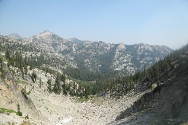
View to the north from the pass down towards Mirrow Lake
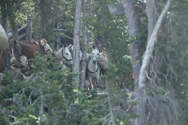
Hot dog! This mule train had to wait for a hiker coming up to the pass from the north on the new trail. I asked the train boss if
he'd take the old trail down and he gave me a definitive "No!"
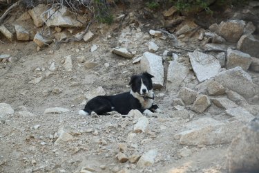
One of their dogs waits at the pass
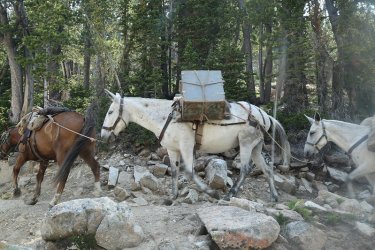
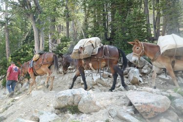
Plenty of shots when a mule train passes by. They dismounted and walked the train down the pass.
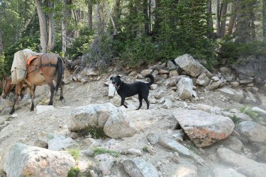
And a dog at the end
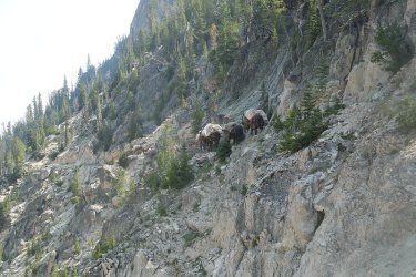
And there they go
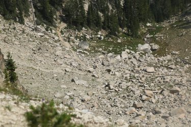
Can you find @Bob below? He outran the mules.
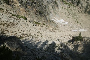
Another look down the old mule trail - some tight switchbacks heading down the chute
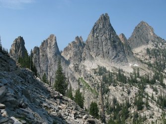
Just gorgeous
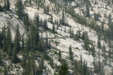
The mule train heading to Airplane Lake has passed Bob by now.
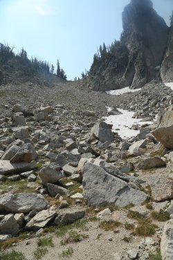
A look back up the old mule trail from the bottom
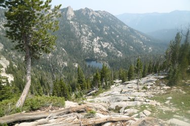
Mirrow Lake below
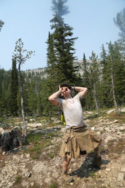
At camp at Birdbill Lake - Tony's Chocolonely time!
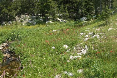
A nice patch of wildflowers that @TractorDoc discovered
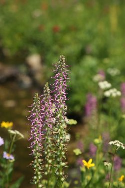
Elephant Heads
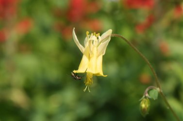
Yellow Columbine
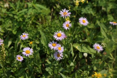
Fleabane
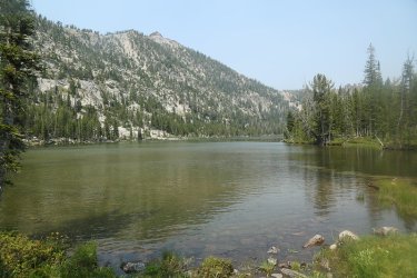
Gentian Lake
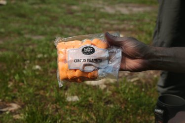
Is it legal to have chocolonely and circus peanuts in the same day?
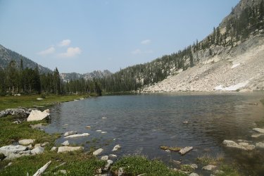
Birdbill Lake
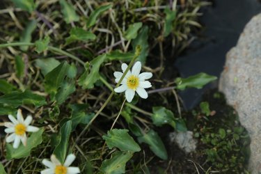
Marsh Marigold
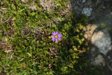
Aster
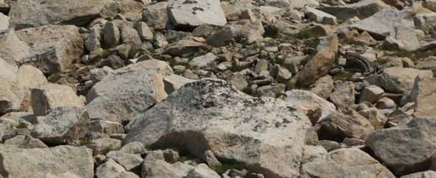
Can you find the Pika?
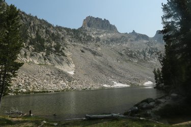
Fishfins above Birdbill Lake
Day 5 - Day hike from Birdbill Lake to Ship Island Lake
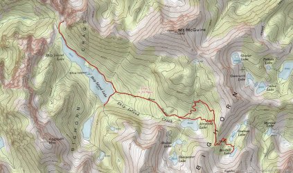
Overview Map - Day 5
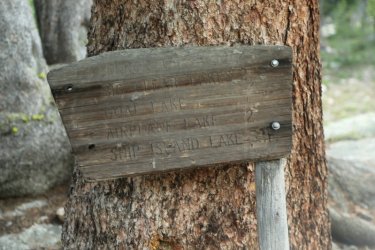
It says that Ship Island Lake is only 3.5 miles away
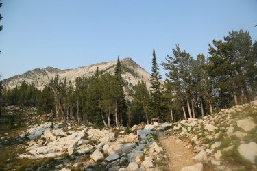
Making our way up to another unnamed pass
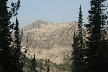
Seemed to be a little less smoky today
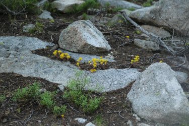
Stonecrop was plentiful in the Crags
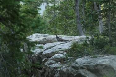
Grouse alert
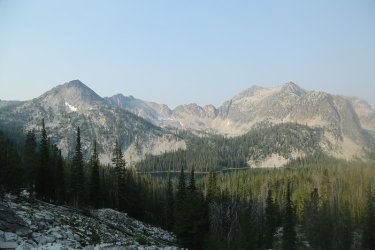
Airplane Lake below
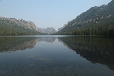
Arriving at Ship Island Lake
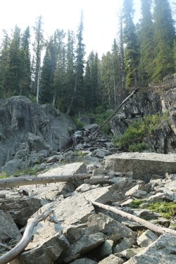
Diversion over to a waterfall near the southeast corner of the lake
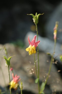
Western Columbine
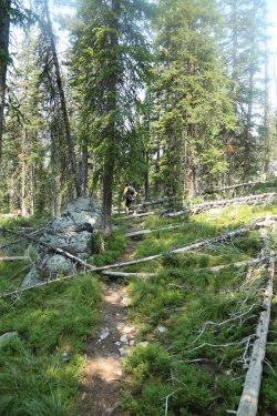
Dave and I decided to take the social trail to the outlet of Ship Island Lake - not well
maintained.
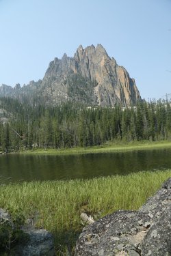
Views from the social trail
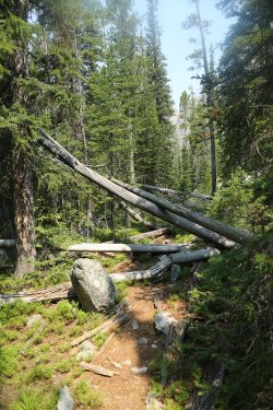
Aargh! Scat doesn't crawl so well anymore. -
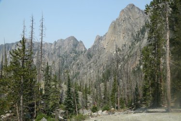
View from beyond the end of the lake
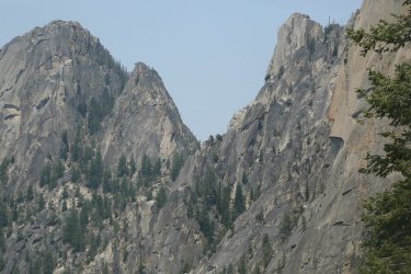
Zoom in on the pass
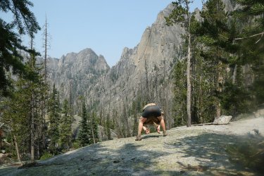
Cover your eyes BCPers! Krakatoa shot!
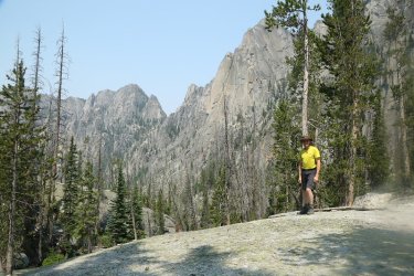
The gentleman whose idea it was to head to the opposite end of the lake. I'm sure he's thinking about getting a pair of Krakatoas.
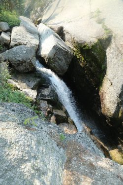
Waterfall from the outlet on Ship Island Creek
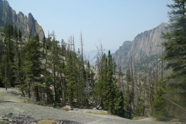
A look down canyon towards the canyon that contains the Middle Fork of the Salmon River
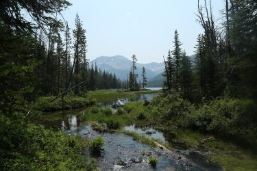
The outlet of Ship Island Lake on our way back
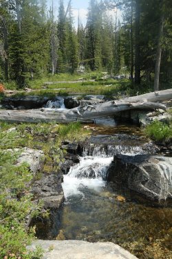
A nice little cascade area that Dave showed me. He had explored this on the way down
to Ship Island
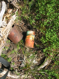
Found an old Adam's Orange Juice tin can at the cascades. The best I can figure is that it dates
back to the 1950's
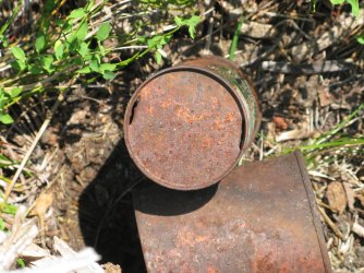
Looks like they used a knife to open it
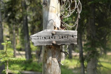
You know what Airplane Lake means don't you? An old mule trail of course!
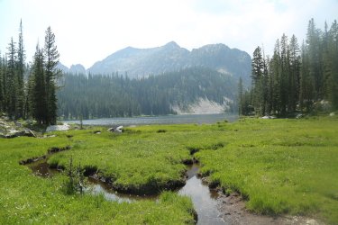
Airplane Lake
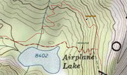
Location of old mule trail out of Airplane Lake
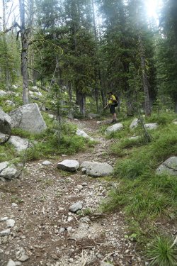
Dave has found the old mule trail
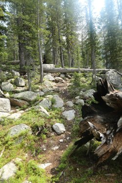
So we took it instead of the new trail up the side of the mountain
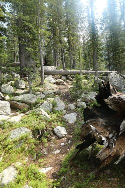
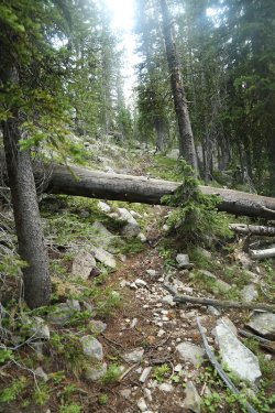
Could use some work
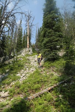
Dave near the upper end of the trail. Steep going.
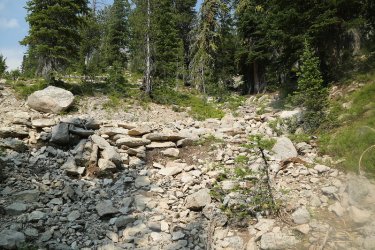
Where it meets the new trail
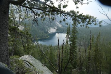
Airplane Lake again
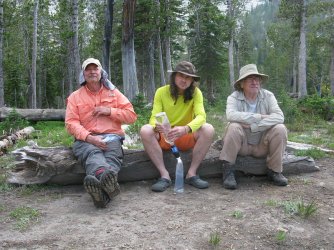
The three amigos back at camp
Day Six - Birdbill Lake to the Bighorn Crags Trailhead
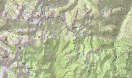
Overview Map - Day 6
Time to hike back to the tailhead on day six. This turned out to be a hot day of backpacking. I struggled a bit this day.
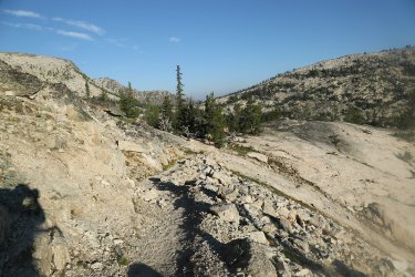
Heading up from Birdbill Lake
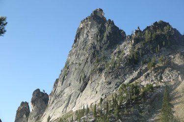
Fishfin Ridge above
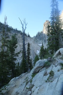
That pass looks familiar
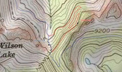
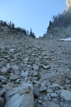
Time to take the old mule train to the top of Beaver Slide Pass?

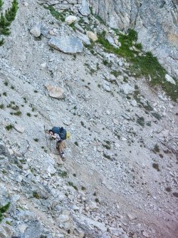
You betcha! Giving the old timers some love and respect. - Images courtesy of @b.stark
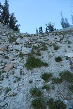
Damn!
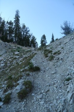
Brent awaits at the top of the old mule trail
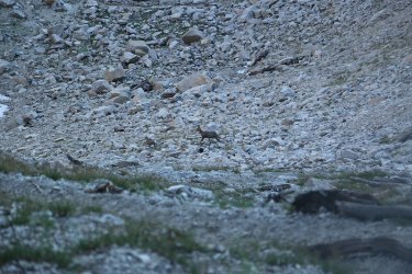
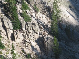
After getting to the top of the pass, there were three mountain goats that cam off the side of the mountain, first one and then two
more, crossed the old mule trail and headed up onto the granite cliffs. The first sheep almost ran over @TractorDoc.
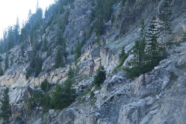
Bob, working his way up to the pass
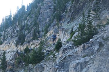
Dave, making it up to the pass after his sheep incident
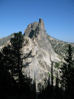
Looking back on the sharfin
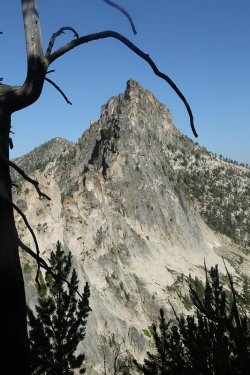
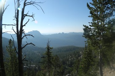
Still smoky to the south
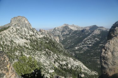
Another view of Mirrow Lake and surroundings
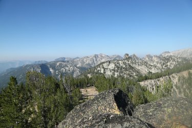
Better shots on day six than day one
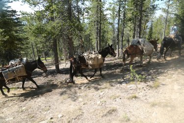
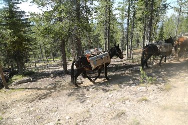
You got it, another mule train.
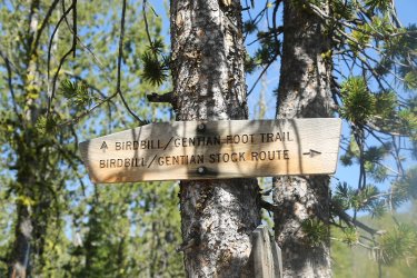
For some reason the stock was not using the stock trail
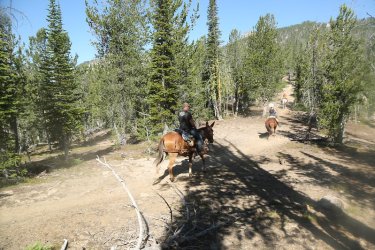
And off they go.
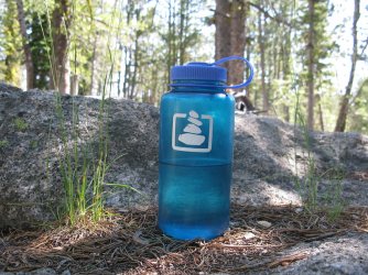
BCP in the Bighorn Crags
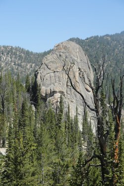
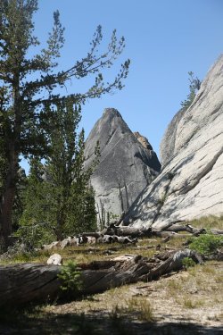
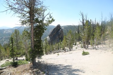
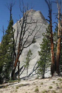
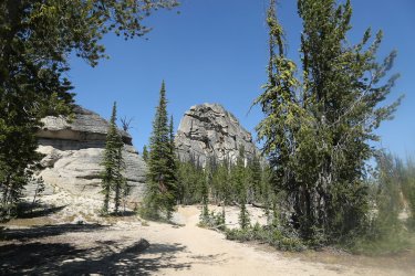
Same crags as day one, but this time not as hazy.
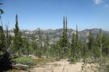
My last look out in to the crags
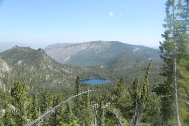
Golden Trout Lake
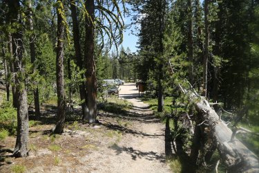
Arriving back at the trailhead
Getting Back:
As we left the trailhead, Bob took us to see an old ghost town (Leesburg). Leesburg was an old mining community that still has some standing structures. Unfortunately on our way to see the old ghost town, Bob's truck got a flat tire as a nasty rock tore into the sidewall of the front driver's side tire. It took awhile to replace that tire with a spare which left heading on to Leesburg out of the question.
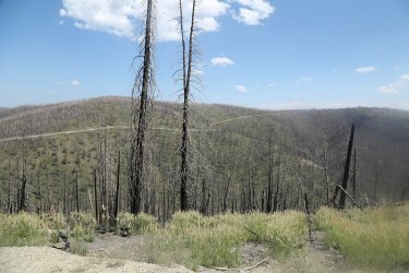
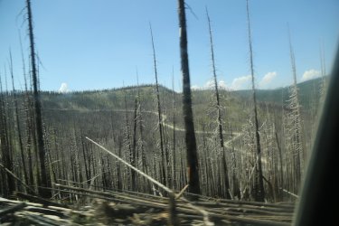
The road out.
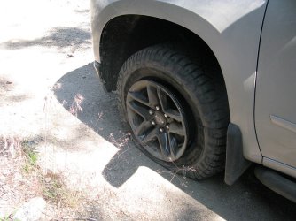
Leesburg will just have to wait
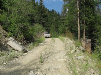
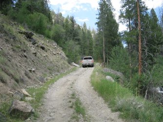
After replacing the flat, Bob had to back all the way back down the road to find a suitable place to turn his truck around.
Once off the Forest Service Roads, we headed south of Salmon to a community called Elk Bend. It was there that we had dinner at a place called . . . . . wait for it . . . . . . . The Dusty Mule! Bob had researched this place before hand and I've got to say it was a great choice.
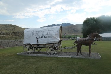
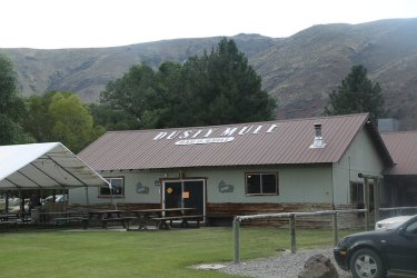
Love it!
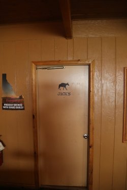
Got there Jack's
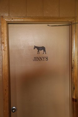
And Jenny's
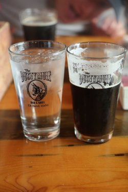
Nice pint glasses
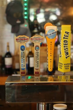
I had the Barley Ridge Nut Brown Ale with my . . . . . . . .
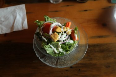
Salad and . . . . . .
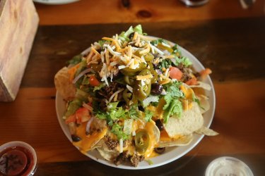
Half an order of nachos (shared with the table) and . . . . . . . .
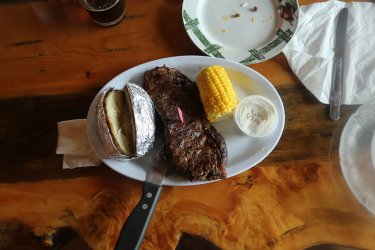
A New York steak with a baked potato and an ear of corn. All dishes were declicous.
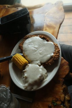
I had to throw this shot in because Dave's chicken fried steak was the largest chicken
fried steak that I have ever seen. How he finished that off I'll never know.
And @Rockskipper guess what? The Dusty Mule is for sale! It's ours if we want it! So what do you think? Who better to run the place? Come on!
On our way out, they were setting up a mechanical bull for a motorcycle show they would be having the next day. Everybody wanted me to give it a go, but I'd eaten and drank too much to do it. Maybe next time.
We drove on towards Idaho Falls and camped on BLM land next to Birch Creek before getting up the next morning, drive to Idaho Falls, ate some breakfast and then got Dave back to the airport for his return flights to Ohio. I then paid the long term parking fee and headed towards Salt Lake.
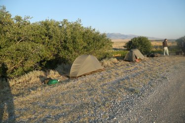
Campsite for the night next to Birch Creek
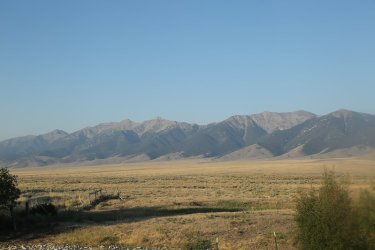
Lemhi Range to the west
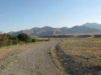
Dave getting one last shot with the Beaverhead Range to the east
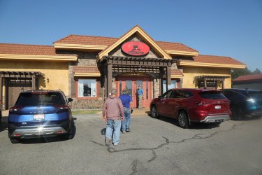
Breakfast in Idaho Falls
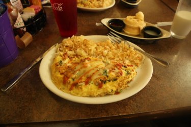
Omelet and hashbrowns plus a short stack of waffles ought to do the tirck.
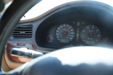
On my drive back to Salt Lake, the Outback passed 274,000 miles.
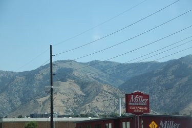
Logan Peak to the east of Logan. I had to reroute off of I-15 when southbound traffic came to a dead stop near Devil Creek
Reservoir. After 30 minutes of waiting and no movement, I backtracked and went through Downy, Preston, Franklin and Logan.
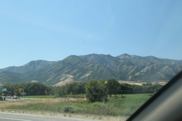
The Wellsville Range on the west side of Cache Valley.
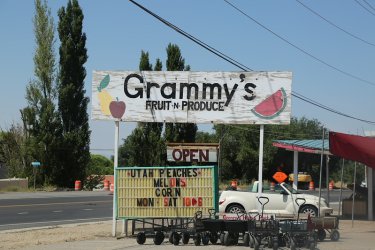
And finally stopped at Grammy's on Highway 89 south of Willard to get some fresh peaches and some sweet corn to take home.
The same peaches that I cut up this morning and put on my cereal to eat while reading @TheMountainRabbit 's fabulous report
on his time in the Teton Wilderness.
All in all this was a great trip. The only thing that could have been better would have been smoke free backpacking. I'd like to head back at some point, maybe next time on the back of a mule to see some of the areas that we missed this time. Thanks to my backpacking companions for putting up with my shenanigans for six days in the backcountry. They are a wonderful group to head into the backcountry with.
The End.
Besides the backpacking itself, we got to spend some enjoyable time in Arco and Challis on our way up, and on our way back, attempted to see an old ghost town, checked out a wonderful Bar and Grill in Elk Bend for dinner before heading back through Salmon and on to Birch Creek to camp for one last night.
Here's my story and I swear that everything is true.
Review Image:
Trip Overview Map
Getting There:
Sometimes half the fun of the trip is just getting to the trailhead. Individuals in our group came from all over the country - Nebraska, Idaho, Utah, Arizona and Ohio. Bob, Gary and I met up with Dave at the Idaho Falls Regional Airport before heading off to meet Brent at the Pickle's Place in Arco for a bite to eat. Interestingly, Arco is the first town to be completely powered by nuclear energy back in the day.
Idaho Falls Regional Airport. I parked the Sube in long term parking for our trip, and Bob and Gary drove in from Island Park to
pick up Dave and myself and drive us to the trailhead.
Of course, @TractorDoc's connection flight from Denver was late.
The man, the myth, the legend!
Oh, this has potential.
Anytime you get the opportunity to sit in the Pickle Chair, you take it.
The crew. Somebody is already munching on an ice cream cone.
I had the Atomic Burger and fries.
Kitty corner from the Pickle's Place was a small town park that had this submarine sail in it which was kind of neat.
Some info about the sub.
Different years of high school classes painted on the cliffs above town.
'64 - A very good year! Scatman's birth.
After leaving Arco, our next stop would be Challis
The Lost River Range intrigued me along our way. It might be worth exploring in the future.
Of course, once we arrived in Challis we had to stop at the Real Deal SmokeHouse
Sounds tasty
I split a half rack of ribs with Bob and am giving it the Scatman's thumb up approval. Bob's in the background getting some crucial
information from the locals.
Just a few miles north of Challis, we turned off onto a Forest Service Road that would eventually lead us to the Bighorn Crags Trailhead. We stopped and camped for the night well short of the trailhead, then got up the next morning and drove the rest of the way to get started.
We saw a few deer along the road.
Our camp for the night
Deer at camp
The next morning we got up and headed on to the trailhead. Which way to go? Right Watson right.
Info signs at the intersection. Wolverines in the Frank Church!
FS Road 110 is what we want
Looks a lot like the Smoky Mountains to me.
More deer as we get closer to the trailhead.
Someone please explain this to me.
Mules! Any trip that includes mules is a good trip. Goes without saying.
Day 1 - Bighorn Crags Trailhead to Welcome Lake.
Overview Map - Day 1
Feats of strength! Bob weighed everyone's packs and I think his came in at like a ridiculous 26 pounds. Mine was 46 and if you
add the 5 pound of camera gear we'll call it 51 pounds.
Vicinity Map at the trailhead
Scallywags, nincompoops and marauders! Watchout warry souls of the backcountry!
Reaching the wilderness boundary
@b.stark and @TractorDoc were out in front. I could have sworn somebody said that
there were no hills on this trip.
First hazy sightings of the Crags
More crags ahead
Mule train! A common occurrence over our six days. I've died and gone to heaven @Rockskipper !
More crags as we pass by on our way to Welcome Lake
I think this is Cathedral Rock? One of the scallywags, nincompoops or marauders will have to confirm.
More mules! @Rockskipper , did I mention that I might have died and gone to heaven?
Stay right young man, stay right.
The ever light of foot Brent crossing Wilson Creek
What's one of my trip reports without wildflowers. Gentian I presume.
Dave with the crinkle monster.
Setting up camp at Welcome LakeDinner for the night
Beargrass
Day 2 - Welcome Lake to Reflection Lake
Short day from welcome down to Reflection. Smoky is the theme for the day.
Overview Map - Day 2
Welcome Lake in the morning - Peak 9573 above and below
Puddin' Mtn. - My kind of name - Puddin' Head!
Bob, on his way up and over the next pass
Hazy shot looking deeper into the Crags
Lots of long, gradual switchbacks in the Bighorn Crags. Very nice.
Welcome Lake below with peaks 9676 and 9573 across the way
Headed out the ridge from the pass to get this shot to the north
This man knows how to take a break.
The Bob pose, a new yoga pose, but only for the experienced yoga master.
A Western Tanager checking us out
You got it, more mules!
Heading out towards WelcomeBeautiful down in the drainage where Reflection Lake is located.
Sulphur Penstemon
Reflection Lake
Day 3 - Reflection Lake to Heart Lake
Overview Map - Day 3
A couple of passes to cross on day three and multiple lakes to pass by. The first pass we crossed was an off-trail route to a pass we called "All Sun Pass." We then dropped down to Barking Fox Lake before rounding the bend to reach Terrace Lakes which had some big fish. After Terrace Lakes, we made our way up and over an unnamed pass before dropping down to Heart Lake.
Taking a break before heading off tail to Skyhigh Lake and on to All Sun Pass
Let the bushwhack begin
Bob, seeing how his luck goes at Skyhigh
Brent casting at Skyhigh
Looking back down at Skyhigh Lake as we head up to the pass
Bob and Gary heading up the pass
View down the north side of All Sun Pass with unnamed peak 9573 ahead. It's the same peak on the west side of Welcome Lake
two days earlier.
Pink Mountain-heather
Barking Fox Lake
Downward Dog
Dave, getting a good shot
The first Terrace Lake
Polliwogs between the lakes
Lily pads
Brent about to land the big one.
More Gentian
St. Johnswort
Monkey Flower
The pass that we need to go up and over
Looking back down at the Terrace Lakes
Reaching the pass
View down the other side of the pass to Heart Lake below
Fishfin Ridge poking out above
The north side of the crags we passed by on our first day heading to Welcome Lake
Heart Lake
Where Bob and Gary set up there tents, there used to be an old cabin with numerous notched logs present
Day 4 - Heart Lake to Birdbill Lake
Overview Map - Day 5
Today's hike would take us from Heart Lake, back down to Welcome Lake and then onto Birdbill Lake, dropping in on Wilson and Harbor Lakes along our way.
A Bighorn sheep came through our camp at Heart Lake early in the morning
Okay @Rockskipper, the old mule trail down to Welcome Lake
The other end (Welcome Lake end) of the old mule trail
A pika along our way
Approaching Fishfin Ridge
The pass (Beaver Slide Pass) in the middle of the shot has an old mule trail that runs straight up the slope to the pass and then runs
straight down the other side.
Wilson Lake
Oh boy! I'm getting antsy for some chocolonlely.
Harbor Lake
Selfie at Harbor Lake
The old mule trail down the north side of Beaver Slide Pass
View to the north from the pass down towards Mirrow Lake
Hot dog! This mule train had to wait for a hiker coming up to the pass from the north on the new trail. I asked the train boss if
he'd take the old trail down and he gave me a definitive "No!"
One of their dogs waits at the pass
Plenty of shots when a mule train passes by. They dismounted and walked the train down the pass.
And a dog at the end
And there they go
Can you find @Bob below? He outran the mules.
Another look down the old mule trail - some tight switchbacks heading down the chute
Just gorgeous
The mule train heading to Airplane Lake has passed Bob by now.
A look back up the old mule trail from the bottom
Mirrow Lake below
At camp at Birdbill Lake - Tony's Chocolonely time!
A nice patch of wildflowers that @TractorDoc discovered
Elephant Heads
Yellow Columbine
Fleabane
Gentian Lake
Is it legal to have chocolonely and circus peanuts in the same day?
Birdbill Lake
Marsh Marigold
Aster
Can you find the Pika?
Fishfins above Birdbill Lake
Day 5 - Day hike from Birdbill Lake to Ship Island Lake
Overview Map - Day 5
It says that Ship Island Lake is only 3.5 miles away
Making our way up to another unnamed pass
Seemed to be a little less smoky today
Stonecrop was plentiful in the Crags
Grouse alert
Airplane Lake below
Arriving at Ship Island Lake
Diversion over to a waterfall near the southeast corner of the lake
Western Columbine
Dave and I decided to take the social trail to the outlet of Ship Island Lake - not well
maintained.
Views from the social trail
Aargh! Scat doesn't crawl so well anymore. -
View from beyond the end of the lake
Zoom in on the pass
Cover your eyes BCPers! Krakatoa shot!
The gentleman whose idea it was to head to the opposite end of the lake. I'm sure he's thinking about getting a pair of Krakatoas.
Waterfall from the outlet on Ship Island Creek
A look down canyon towards the canyon that contains the Middle Fork of the Salmon River
The outlet of Ship Island Lake on our way back
A nice little cascade area that Dave showed me. He had explored this on the way down
to Ship Island
Found an old Adam's Orange Juice tin can at the cascades. The best I can figure is that it dates
back to the 1950's
Looks like they used a knife to open it
You know what Airplane Lake means don't you? An old mule trail of course!
Airplane Lake
Location of old mule trail out of Airplane Lake
Dave has found the old mule trail
So we took it instead of the new trail up the side of the mountain
Could use some work
Dave near the upper end of the trail. Steep going.
Where it meets the new trail
Airplane Lake again
The three amigos back at camp
Day Six - Birdbill Lake to the Bighorn Crags Trailhead
Overview Map - Day 6
Time to hike back to the tailhead on day six. This turned out to be a hot day of backpacking. I struggled a bit this day.
Heading up from Birdbill Lake
Fishfin Ridge above
That pass looks familiar
Time to take the old mule train to the top of Beaver Slide Pass?
You betcha! Giving the old timers some love and respect. - Images courtesy of @b.stark
Damn!
Brent awaits at the top of the old mule trail
After getting to the top of the pass, there were three mountain goats that cam off the side of the mountain, first one and then two
more, crossed the old mule trail and headed up onto the granite cliffs. The first sheep almost ran over @TractorDoc.
Bob, working his way up to the pass
Dave, making it up to the pass after his sheep incident
Looking back on the sharfin
Still smoky to the south
Another view of Mirrow Lake and surroundings
Better shots on day six than day one
You got it, another mule train.
For some reason the stock was not using the stock trail
And off they go.
BCP in the Bighorn Crags
Same crags as day one, but this time not as hazy.
My last look out in to the crags
Golden Trout Lake
Arriving back at the trailhead
Getting Back:
As we left the trailhead, Bob took us to see an old ghost town (Leesburg). Leesburg was an old mining community that still has some standing structures. Unfortunately on our way to see the old ghost town, Bob's truck got a flat tire as a nasty rock tore into the sidewall of the front driver's side tire. It took awhile to replace that tire with a spare which left heading on to Leesburg out of the question.
The road out.
Leesburg will just have to wait
After replacing the flat, Bob had to back all the way back down the road to find a suitable place to turn his truck around.
Once off the Forest Service Roads, we headed south of Salmon to a community called Elk Bend. It was there that we had dinner at a place called . . . . . wait for it . . . . . . . The Dusty Mule! Bob had researched this place before hand and I've got to say it was a great choice.
Love it!
Got there Jack's
And Jenny's
Nice pint glasses
I had the Barley Ridge Nut Brown Ale with my . . . . . . . .
Salad and . . . . . .
Half an order of nachos (shared with the table) and . . . . . . . .
A New York steak with a baked potato and an ear of corn. All dishes were declicous.
I had to throw this shot in because Dave's chicken fried steak was the largest chicken
fried steak that I have ever seen. How he finished that off I'll never know.
And @Rockskipper guess what? The Dusty Mule is for sale! It's ours if we want it! So what do you think? Who better to run the place? Come on!
On our way out, they were setting up a mechanical bull for a motorcycle show they would be having the next day. Everybody wanted me to give it a go, but I'd eaten and drank too much to do it.
Maybe next time.We drove on towards Idaho Falls and camped on BLM land next to Birch Creek before getting up the next morning, drive to Idaho Falls, ate some breakfast and then got Dave back to the airport for his return flights to Ohio. I then paid the long term parking fee and headed towards Salt Lake.
Campsite for the night next to Birch Creek
Lemhi Range to the west
Dave getting one last shot with the Beaverhead Range to the east
Breakfast in Idaho Falls
Omelet and hashbrowns plus a short stack of waffles ought to do the tirck.
On my drive back to Salt Lake, the Outback passed 274,000 miles.
Logan Peak to the east of Logan. I had to reroute off of I-15 when southbound traffic came to a dead stop near Devil Creek
Reservoir. After 30 minutes of waiting and no movement, I backtracked and went through Downy, Preston, Franklin and Logan.
The Wellsville Range on the west side of Cache Valley.
And finally stopped at Grammy's on Highway 89 south of Willard to get some fresh peaches and some sweet corn to take home.
The same peaches that I cut up this morning and put on my cereal to eat while reading @TheMountainRabbit 's fabulous report
on his time in the Teton Wilderness.
All in all this was a great trip. The only thing that could have been better would have been smoke free backpacking. I'd like to head back at some point, maybe next time on the back of a mule to see some of the areas that we missed this time. Thanks to my backpacking companions for putting up with my shenanigans for six days in the backcountry. They are a wonderful group to head into the backcountry with.
The End.
Last edited: