Udink
Still right here.
- Joined
- Jan 17, 2012
- Messages
- 1,748
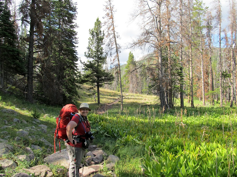
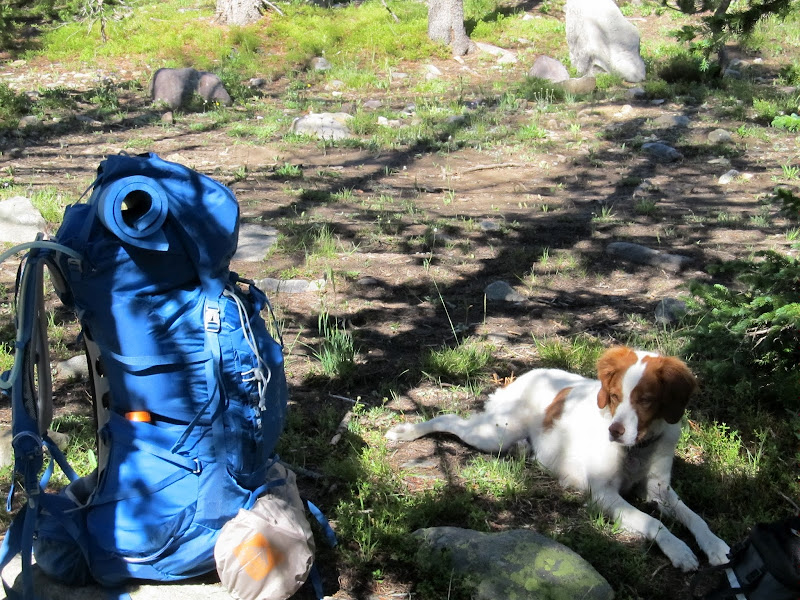
For Father's Day I got a new backpack, an Osprey Atmos 65, hoping I could get into backpacking without having issues like I had with my old backpack when doing the Uinta Highline last year. I responded to the invite from pixie1339 to backpack into Amethyst Basin in the Uintas. It ended up being just the two of us (and Torrey) going, so on Friday, after a four-hour drive from my house (during which the truck turned over 185,000 miles), I met Lisa at 7:00PM at the Christmas Meadows trailhead. We'd never met in person but knew each other online, so after a quick introduction we heaved our packs onto our shoulders and started up the trail. We'd planned two nights in the area, the first in Christmas Meadows and the second at Lake BR-24 in Amethyst Basin. It made for a very easy first day due to the late start. Around 8:30 we'd covered 2.3 miles and were half a mile from the trail junction leading up to Amethyst. We left the trail in search of a spot to camp near Stillwater Fork. The sun had already set, and as it got dark we set up tents and took precautions in case of bears by hanging our food in a tree. Just before full dark we saw a moose in the meadow a couple hundred feet from the tents. At around 10:00 we turned in and I slept fitfully, not being able to get comfortable without a real pillow.
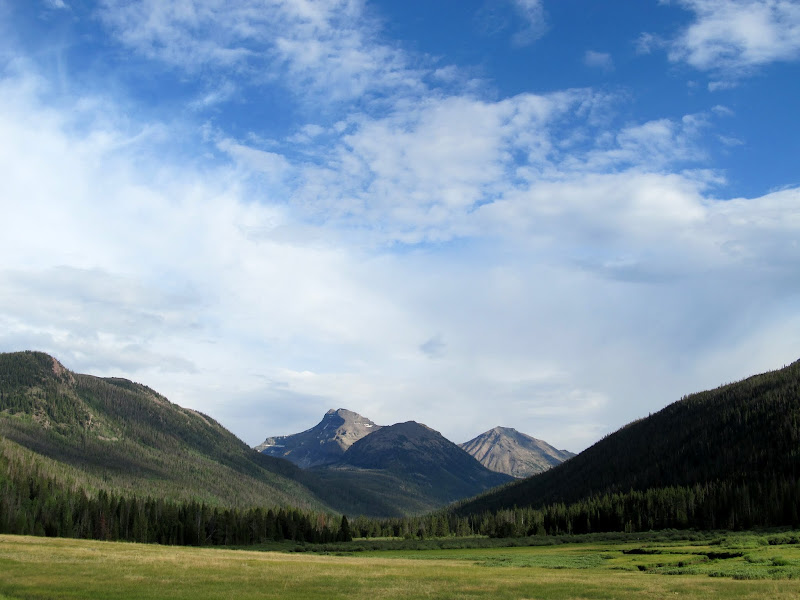
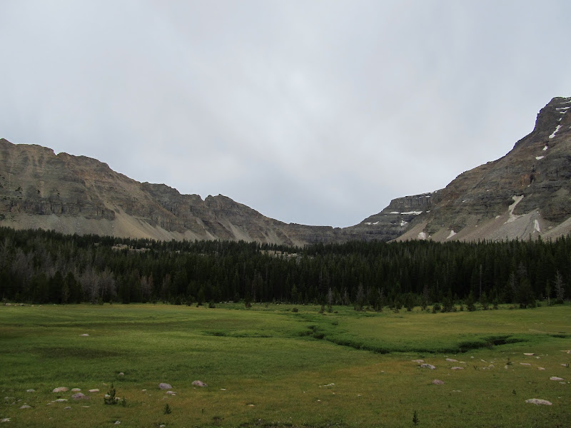
Christmas Meadows viewed from the Stillwater Road
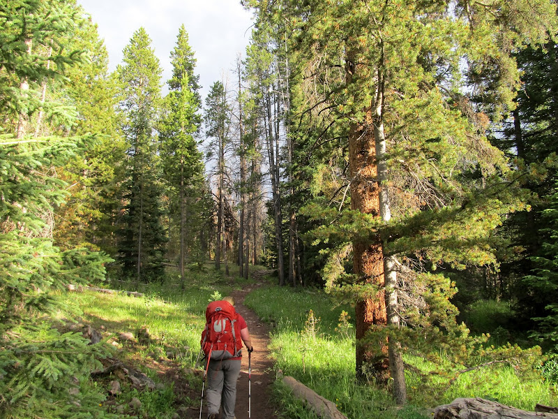
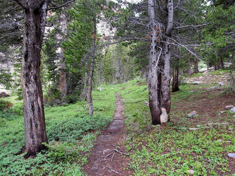
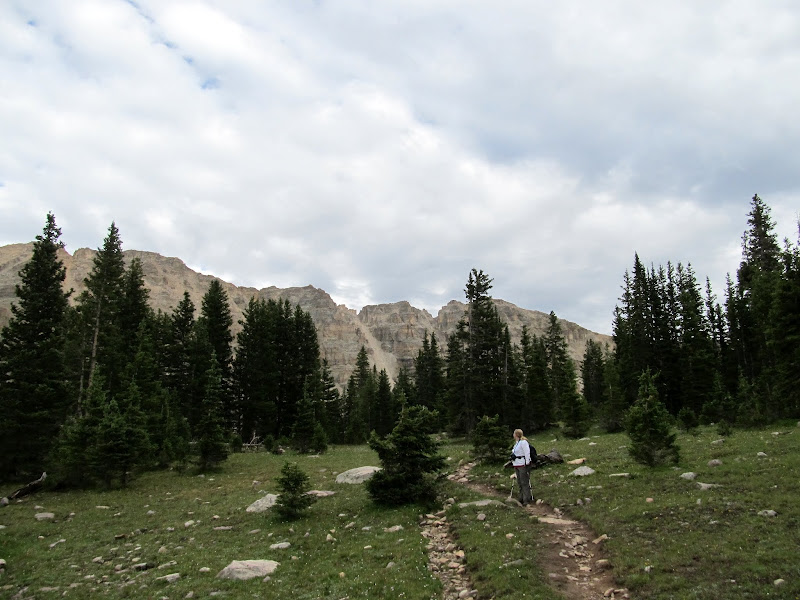
Starting up the trail
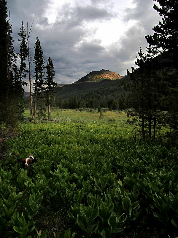
Torrey hiding in Christmas Meadows
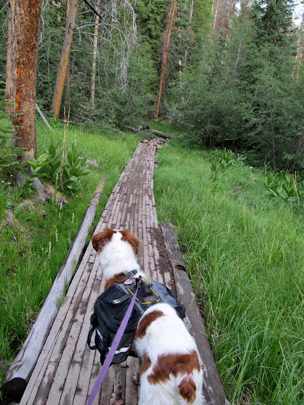
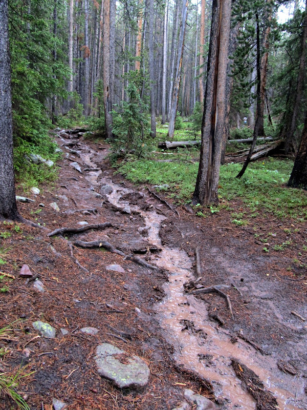
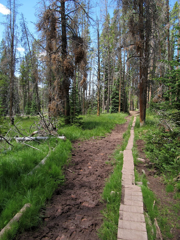
Boardwalk across a marshy area
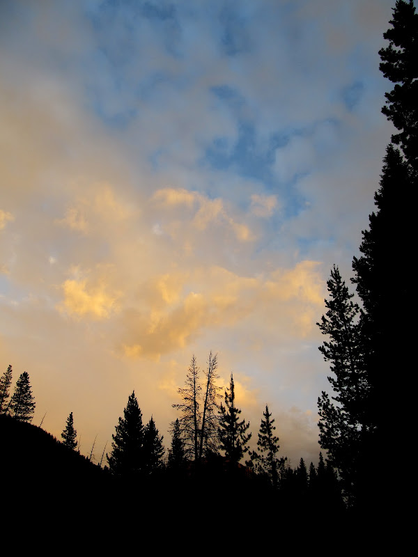
Colorful clouds after sunset
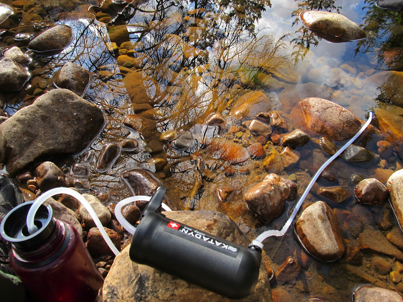
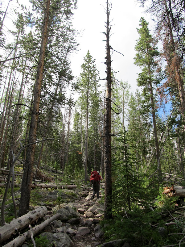
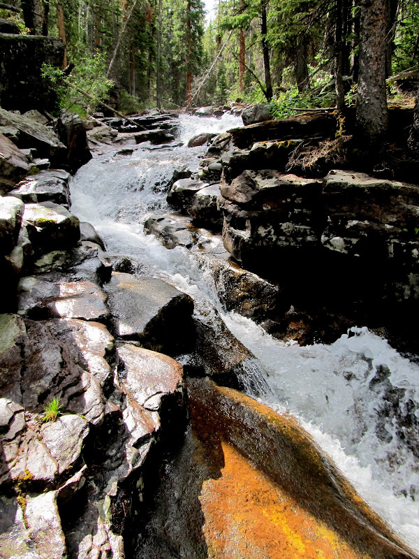
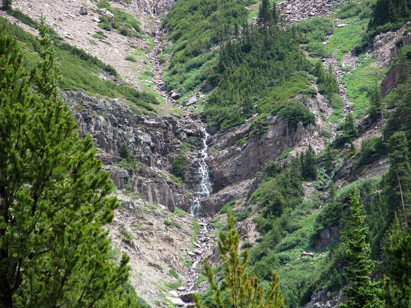
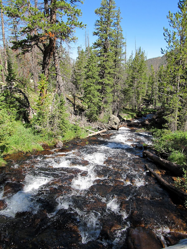
I was awake a little before 7:00 on Saturday morning. I crawled out of the tent after lying there for a while, took the food down from the tree and got started making coffee. I heated more water for oatmeal while I drank my coffee, and after eating we took down camp and packed up. I filtered a liter of water out of the creek before starting our second day of hiking. At 9:30 we were on the trail and shortly reached the junction where we began the steep, rocky climb up to Amethyst Basin. There were numerous waterfalls and cascades along Ostler Fork which were great excuses to stop and rest while we took photos.
Torrey goofing around in the tent on Saturday morning
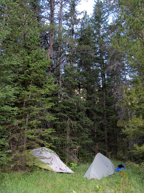
Our camp in Christmas Meadows
Filtering water out of Stillwater Fork
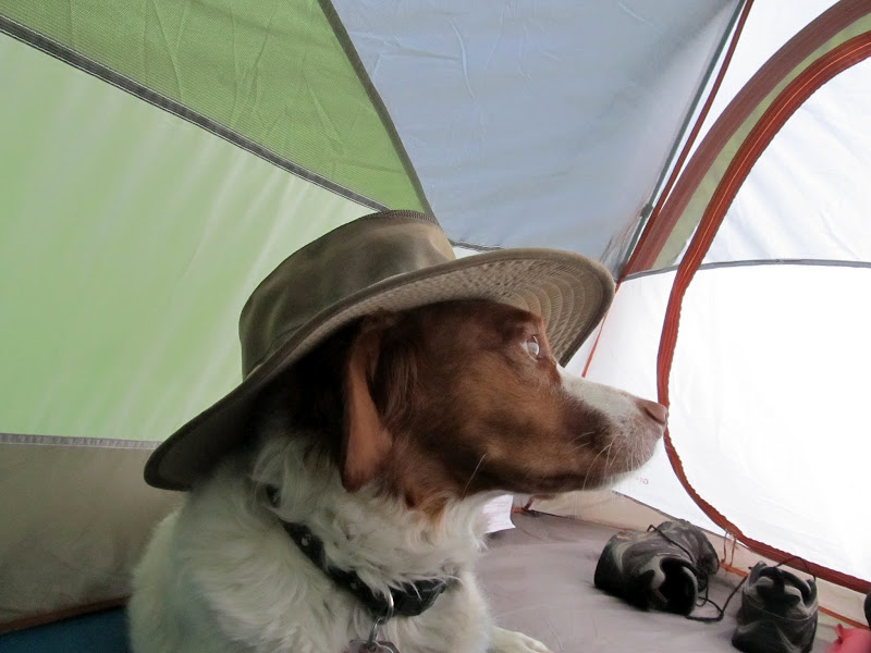
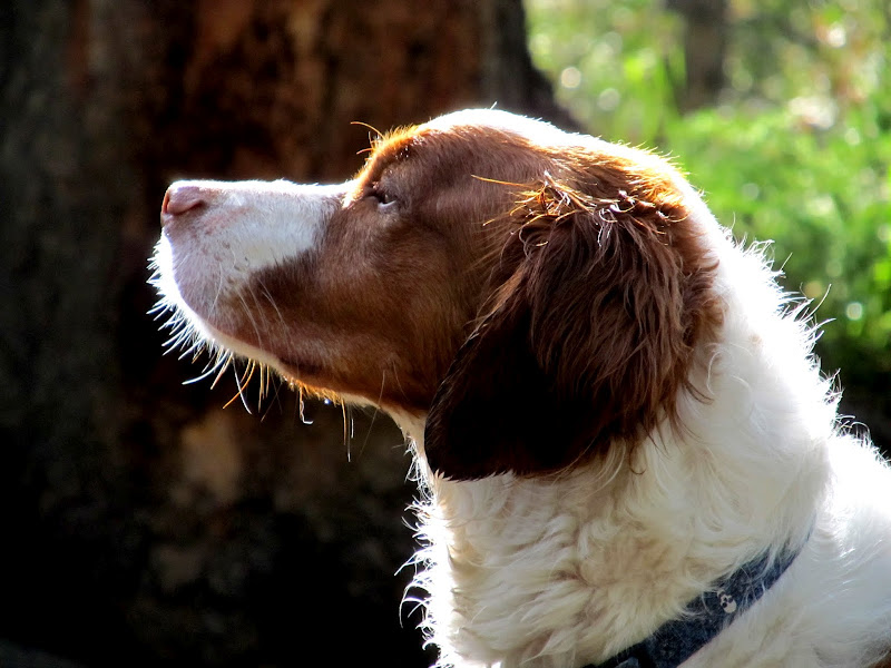
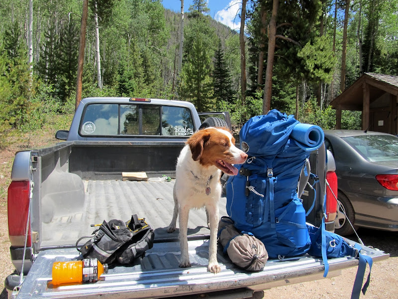
Torrey
On the trail Saturday morning
The steep, rocky climb begins!
Falls along Ostler Fork
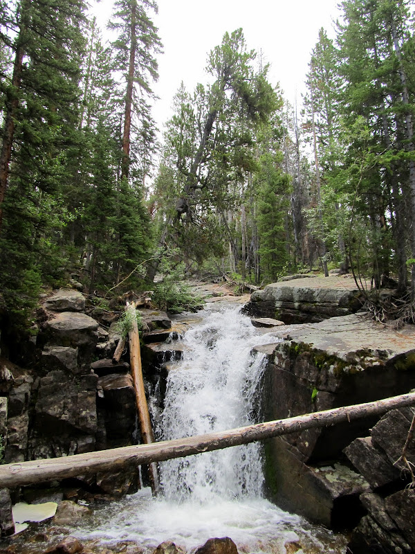
Falls along Ostler Fork
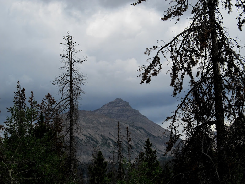
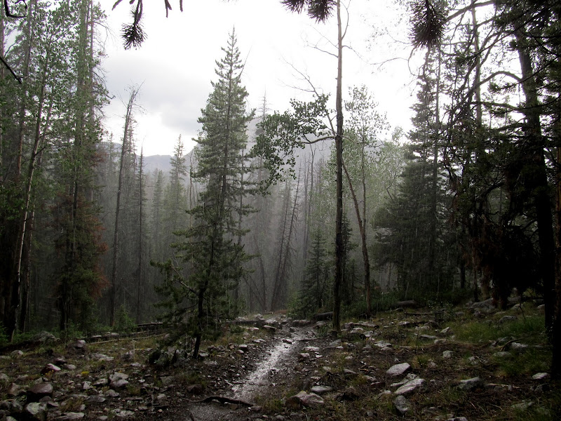
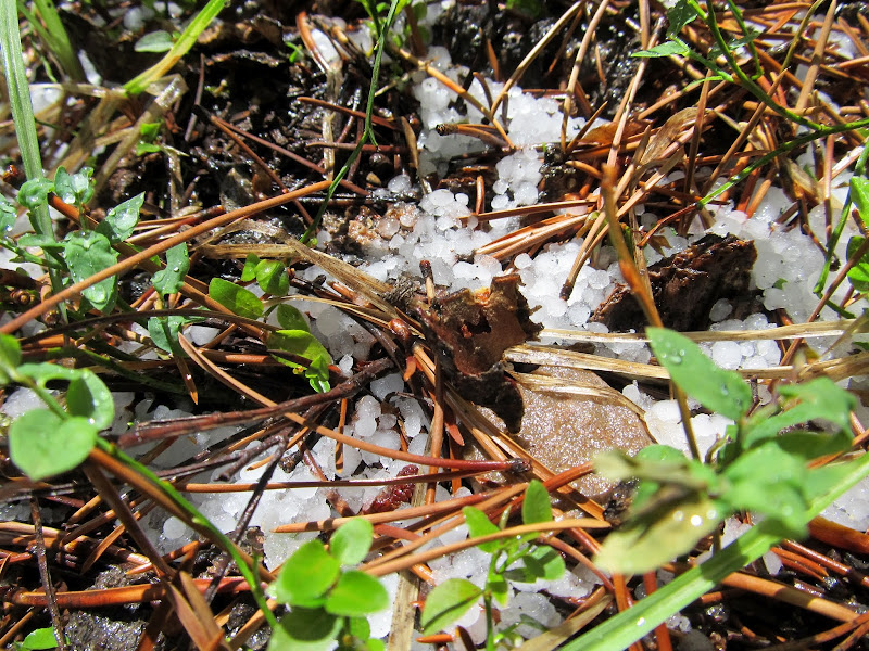
The clouds grew darker and it started raining and hailing at around 11:15. And I didn't bring any rain gear. Lisa had a rain jacket and pack cover that she put on. At first we tried sheltering under a tree. It slowed the rain but I was still getting soaked, so we just moved along as the water first began to puddle on the trail and eventually flowed down it. The storm lasted maybe 45 minutes, and an hour after it'd begun the sun was shining again. There were new hazards on the trail. In one marshy spot Lisa sunk almost to her knees in the mud and couldn't free herself. I went around the bog and got ahead of her and tried pulling her out, but her feet wouldn't budge. She stabbed at the mud around her legs with her trekking poles to loosen it up and was finally able to free herself. It only lasted a minute or two, but it was a tense moment.
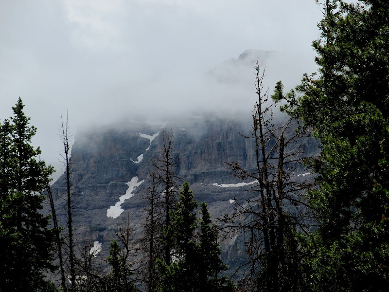
East Hayden Peak
Rain and hail
Water running down the trail
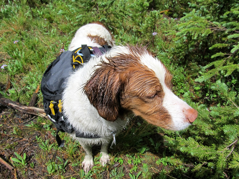
Wet dog after the sun came out
Hail
Clouds surrounding Ostler Peak
Waterfall that formed from the rain runoff
We'd passed quite a few people on the trail. Most were going down, but a handful were going up the trail and we leapfrogged a few of them. There were many people with dogs, too, and a lot of the dogs were off-leash. Several carried packs similar to Torrey's, and I had three different people ask me if she was carrying her own food in the pack. "Nope, it's my booze," I should have replied. We got to Lake BR-24 at around 2PM. The sky was gray again, and we set up tents just in case it rained again. My clothes were almost dry. Luckily just a few days earlier I'd bought some new synthetic hiking pants because all I owned was denim. I was so glad because after that soaking I'd surely have suffered miserably in cotton clothing.
Amethyst Meadow
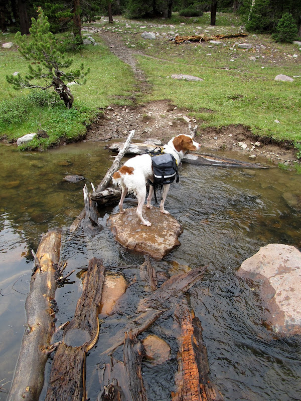
Sketchy crossing of Ostler Fork
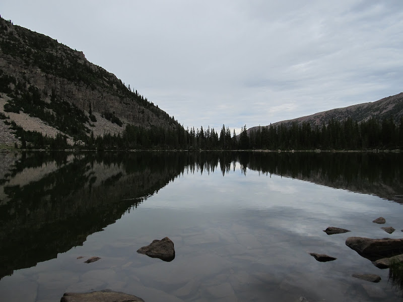
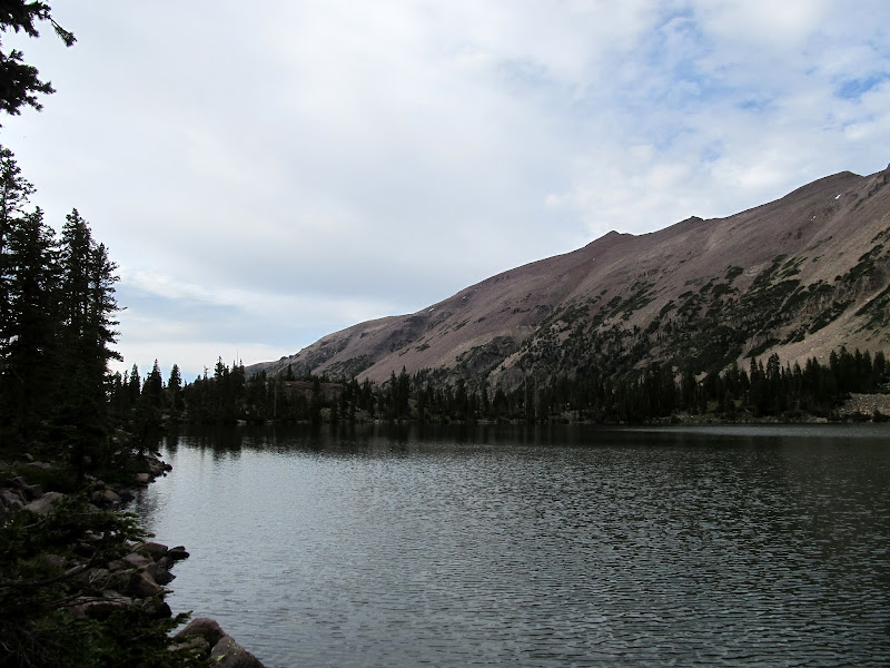
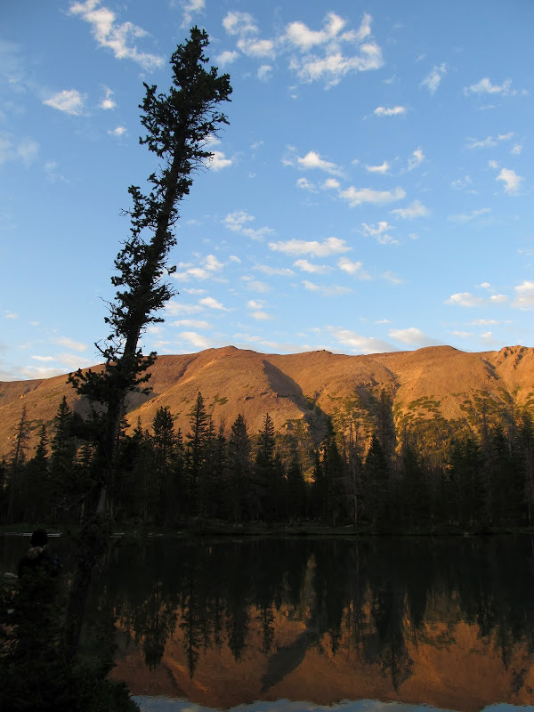
BR-24 and Ostler Peak
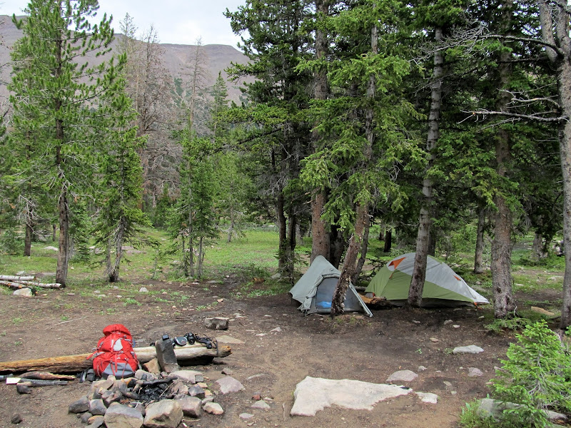
Camp at Lake BR-24
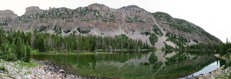
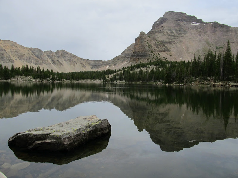
After taking a while to rest we hiked to Ostler Lake. My shoulders had gotten sore from the pack to BR-24 and it felt great to hike without my backpack. There was no trail to Ostler but it was a pretty short hike. I found Ostler Lake to be the prettiest of the three we visited in the basin. Lisa and I walked around the entire lake. Though the sky wasn't as nice as it could have been, the water was still and made for great reflections in the photos we took. There were a lot of good-sized fish visible in the water--it almost made me wish I was a fisherman.
Trail along BR-24
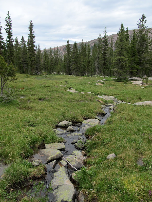
Stream on the way to Ostler Lake
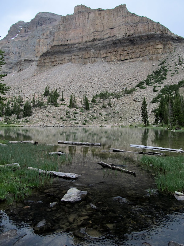
Ostler Lake
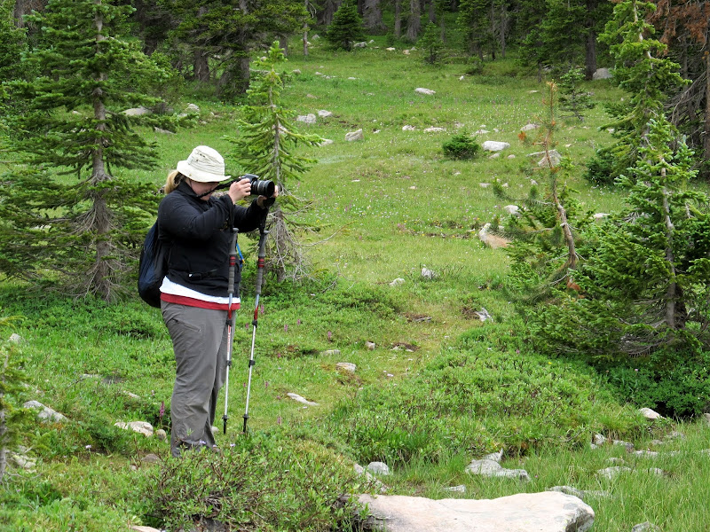
Lisa shooting Ostler Lake
Ostler Lake
Ostler Lake
We were finished at Ostler with plenty of time left to hike to Amethyst before dark. The original plan had been to check out Amethyst on Sunday morning, but I think the lighting on Saturday evening ended up being much more favorable. The hike to Amethyst was about a mile from camp with 300' of elevation gain--still extremely easy compared to what we'd already done that day with our packs on. There were a few people at Amethyst Lake, some at a camp a short distance from the water and some fishing along the shoreline. We took our time there and just sat for a while, and were rewarded as the gray skies gave way to blue with puffy white clouds.
On the trail to Amethyst Lake
Amethyst Lake
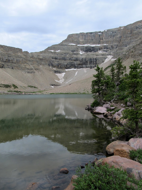
Amethyst Lake
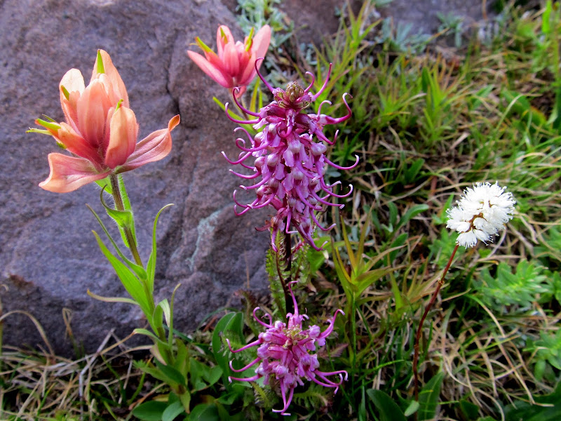
A nice bouquet of Paintbrush, Elephant Heads, and Bistort
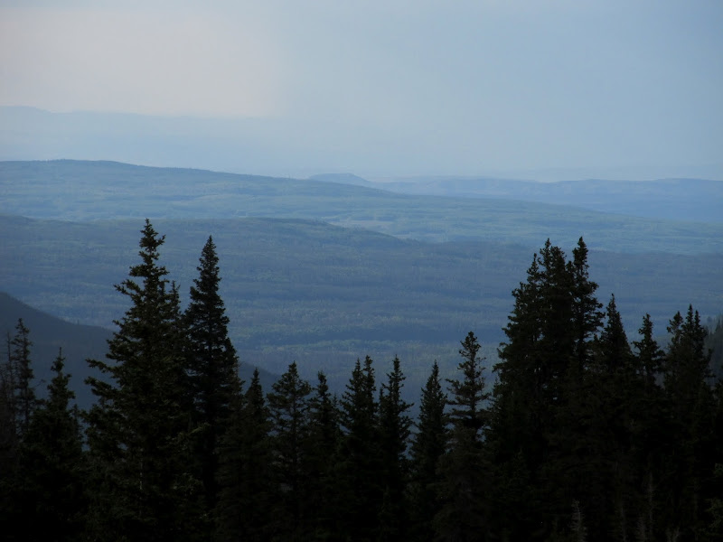
View out of Amethyst Basin
Back at camp Lisa and I ate our dinners and were treated to a nice sunset. The sun glowed orange on the mountains across the basin and reflected in the calm water of BR-24. We had covered 8.2 miles for the day, luckily for me not all of that was with a backpack. We climbed into our tents early, and again I didn't sleep well. An inflatable pillow is definitely on my shopping list before my next backpacking trip. We woke up and got moving Sunday morning at about the same respective times as the previous day. It was an easy pack back to the trailhead with mostly downhill hiking, though as we lost elevation it got warmer than it had been all weekend. It was pretty uneventful, except for the time when I stumbled and fell. I caught myself with my arms before falling entirely prone, though one of my hands landed in a pile of horse shit. Luckily it wasn't too fresh! It took four hours to hike the 5.7 miles back to the trailhead. I'd left some frozen Powerade bottles in a cooler in the truck, and they were still slushy. I downed a bottle on the drive home and it felt good. I actually followed Lisa for a while down Mirror Lake Highway, but I spotted a familiar Jeep on the side of the highway and stopped to chat with a fellow geocacher, Tom "the Greenskeeper", and his wife who had both spent time with my wife and me in March during our southern Utah trip. He wasn't even surprised to see me there because he'd read my Facebook status that I posted from my phone at Lake BR-24 (go Verizon!). I got home in time for dinner with my family before showering and sleeping soundly in my bed with my two pillows.
Lake BR-24 at sunset
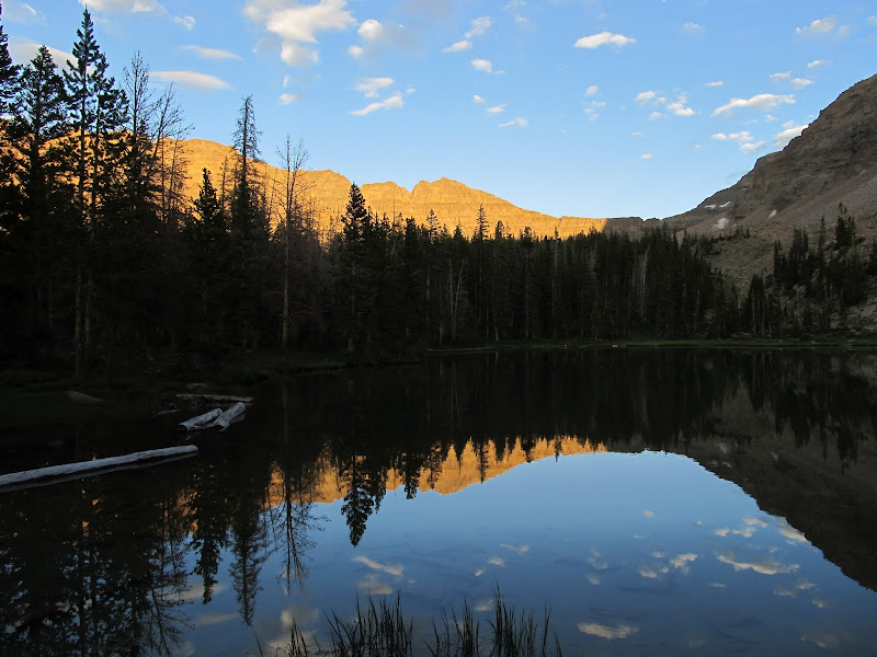
Lake BR-24 at sunset
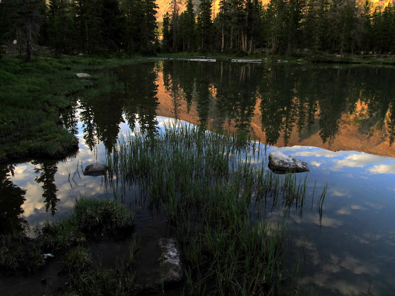
Lake BR-24 at sunset
Packed up and ready to roll out on Sunday morning
Ostler Fork cascades
On the boardwalk to avoid mud
Back at the trailhead where I had a still partially frozen Powerade waiting
Full photo gallery:
https://picasaweb.google.com/Dennis.Udink/AmethystBasin
Google Earth .KMZ File:
http://udink.org/geo/AmethystBasin.kmz
Google Maps:
https://maps.google.com/maps?q=http://udink.org/geo/AmethystBasin.kmz&hl=en&sll=37.0625,-95.677068&sspn=40.545434,86.572266&t=h&z=12
Featured image for home page:

Christmas Meadows viewed from the Stillwater Road
Starting up the trail
Torrey hiding in Christmas Meadows
Boardwalk across a marshy area
Colorful clouds after sunset
I was awake a little before 7:00 on Saturday morning. I crawled out of the tent after lying there for a while, took the food down from the tree and got started making coffee. I heated more water for oatmeal while I drank my coffee, and after eating we took down camp and packed up. I filtered a liter of water out of the creek before starting our second day of hiking. At 9:30 we were on the trail and shortly reached the junction where we began the steep, rocky climb up to Amethyst Basin. There were numerous waterfalls and cascades along Ostler Fork which were great excuses to stop and rest while we took photos.
Torrey goofing around in the tent on Saturday morning
Our camp in Christmas Meadows
Filtering water out of Stillwater Fork
Torrey
On the trail Saturday morning
The steep, rocky climb begins!
Falls along Ostler Fork
Falls along Ostler Fork
The clouds grew darker and it started raining and hailing at around 11:15. And I didn't bring any rain gear. Lisa had a rain jacket and pack cover that she put on. At first we tried sheltering under a tree. It slowed the rain but I was still getting soaked, so we just moved along as the water first began to puddle on the trail and eventually flowed down it. The storm lasted maybe 45 minutes, and an hour after it'd begun the sun was shining again. There were new hazards on the trail. In one marshy spot Lisa sunk almost to her knees in the mud and couldn't free herself. I went around the bog and got ahead of her and tried pulling her out, but her feet wouldn't budge. She stabbed at the mud around her legs with her trekking poles to loosen it up and was finally able to free herself. It only lasted a minute or two, but it was a tense moment.
East Hayden Peak
Rain and hail
Water running down the trail
Wet dog after the sun came out
Hail
Clouds surrounding Ostler Peak
Waterfall that formed from the rain runoff
We'd passed quite a few people on the trail. Most were going down, but a handful were going up the trail and we leapfrogged a few of them. There were many people with dogs, too, and a lot of the dogs were off-leash. Several carried packs similar to Torrey's, and I had three different people ask me if she was carrying her own food in the pack. "Nope, it's my booze," I should have replied.
We got to Lake BR-24 at around 2PM. The sky was gray again, and we set up tents just in case it rained again. My clothes were almost dry. Luckily just a few days earlier I'd bought some new synthetic hiking pants because all I owned was denim. I was so glad because after that soaking I'd surely have suffered miserably in cotton clothing.Amethyst Meadow
Sketchy crossing of Ostler Fork
BR-24 and Ostler Peak
Camp at Lake BR-24
After taking a while to rest we hiked to Ostler Lake. My shoulders had gotten sore from the pack to BR-24 and it felt great to hike without my backpack. There was no trail to Ostler but it was a pretty short hike. I found Ostler Lake to be the prettiest of the three we visited in the basin. Lisa and I walked around the entire lake. Though the sky wasn't as nice as it could have been, the water was still and made for great reflections in the photos we took. There were a lot of good-sized fish visible in the water--it almost made me wish I was a fisherman.
Trail along BR-24
Stream on the way to Ostler Lake
Ostler Lake
Lisa shooting Ostler Lake
Ostler Lake
Ostler Lake
We were finished at Ostler with plenty of time left to hike to Amethyst before dark. The original plan had been to check out Amethyst on Sunday morning, but I think the lighting on Saturday evening ended up being much more favorable. The hike to Amethyst was about a mile from camp with 300' of elevation gain--still extremely easy compared to what we'd already done that day with our packs on. There were a few people at Amethyst Lake, some at a camp a short distance from the water and some fishing along the shoreline. We took our time there and just sat for a while, and were rewarded as the gray skies gave way to blue with puffy white clouds.
On the trail to Amethyst Lake
Amethyst Lake
Amethyst Lake
A nice bouquet of Paintbrush, Elephant Heads, and Bistort
View out of Amethyst Basin
Back at camp Lisa and I ate our dinners and were treated to a nice sunset. The sun glowed orange on the mountains across the basin and reflected in the calm water of BR-24. We had covered 8.2 miles for the day, luckily for me not all of that was with a backpack. We climbed into our tents early, and again I didn't sleep well. An inflatable pillow is definitely on my shopping list before my next backpacking trip. We woke up and got moving Sunday morning at about the same respective times as the previous day. It was an easy pack back to the trailhead with mostly downhill hiking, though as we lost elevation it got warmer than it had been all weekend. It was pretty uneventful, except for the time when I stumbled and fell. I caught myself with my arms before falling entirely prone, though one of my hands landed in a pile of horse shit. Luckily it wasn't too fresh! It took four hours to hike the 5.7 miles back to the trailhead. I'd left some frozen Powerade bottles in a cooler in the truck, and they were still slushy. I downed a bottle on the drive home and it felt good. I actually followed Lisa for a while down Mirror Lake Highway, but I spotted a familiar Jeep on the side of the highway and stopped to chat with a fellow geocacher, Tom "the Greenskeeper", and his wife who had both spent time with my wife and me in March during our southern Utah trip. He wasn't even surprised to see me there because he'd read my Facebook status that I posted from my phone at Lake BR-24 (go Verizon!). I got home in time for dinner with my family before showering and sleeping soundly in my bed with my two pillows.
Lake BR-24 at sunset
Lake BR-24 at sunset
Lake BR-24 at sunset
Packed up and ready to roll out on Sunday morning
Ostler Fork cascades
On the boardwalk to avoid mud
Back at the trailhead where I had a still partially frozen Powerade waiting
Full photo gallery:
https://picasaweb.google.com/Dennis.Udink/AmethystBasin
Google Earth .KMZ File:
http://udink.org/geo/AmethystBasin.kmz
Google Maps:
https://maps.google.com/maps?q=http://udink.org/geo/AmethystBasin.kmz&hl=en&sll=37.0625,-95.677068&sspn=40.545434,86.572266&t=h&z=12
Featured image for home page:
")